Elevation of F S, Wiggins, MS, USA
Location: United States > Mississippi > Stone County > Wiggins >
Longitude: -89.027426
Latitude: 30.9454589
Elevation: 70m / 230feet
Barometric Pressure: 100KPa
Elevation Map:
Satellite Map:
Related Photos:

Stone County Courthouse. Wiggins Stone County, Mississippi

Flint Creek Water Park, MS

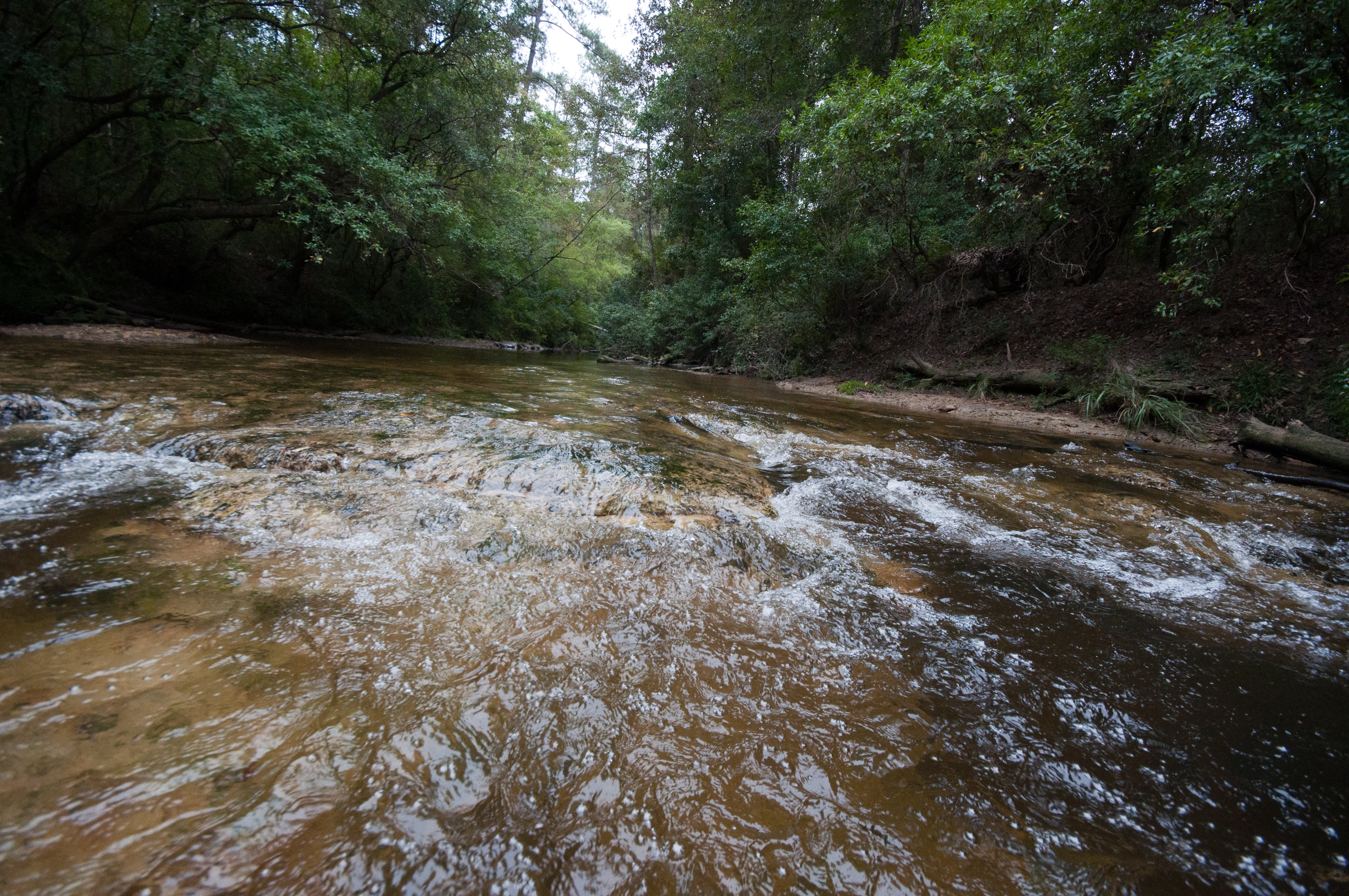
Black Creek Trail

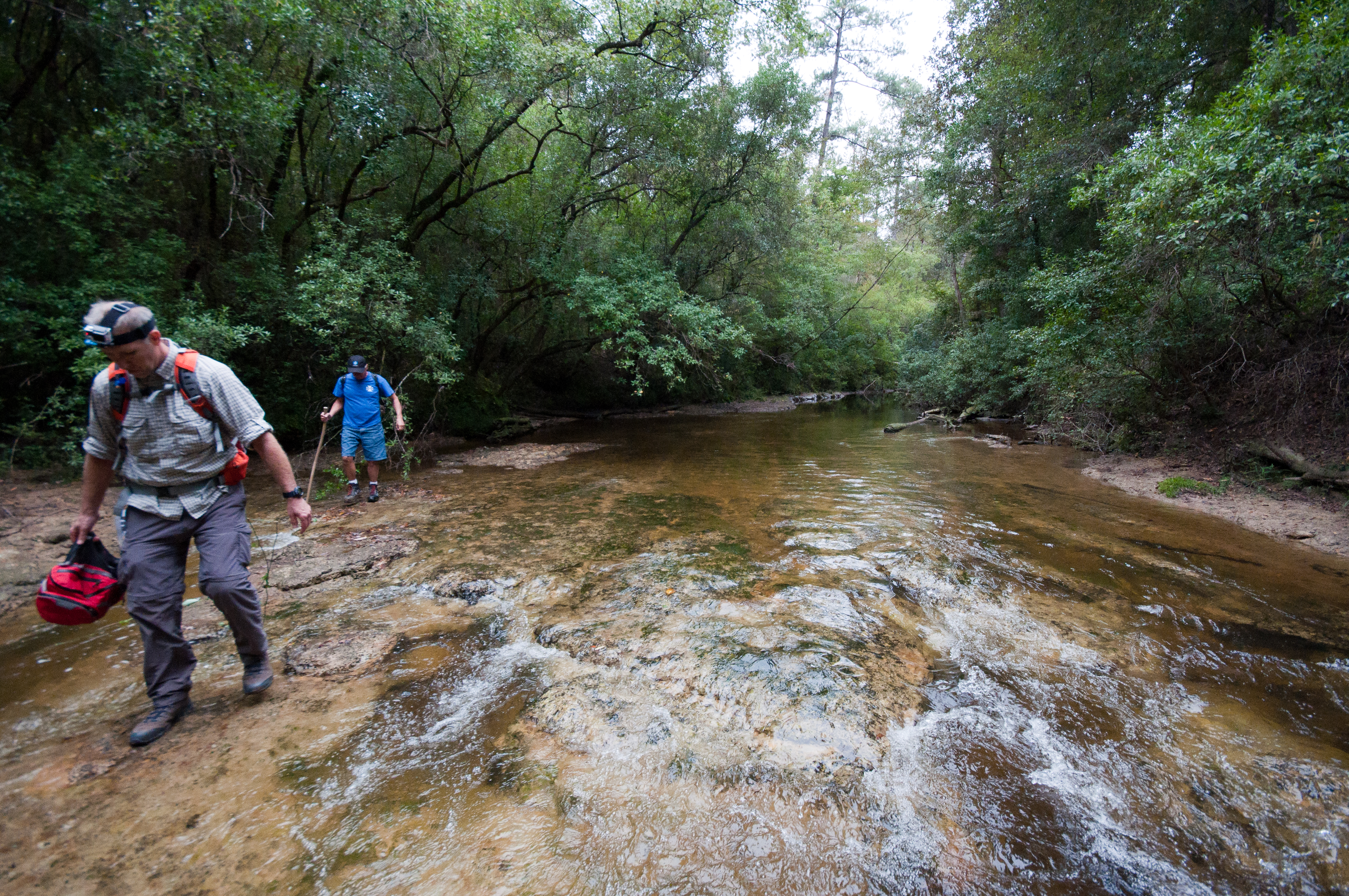
Black Creek Trail

Black Creek Trail

Black Creek Trail

flint creek cabin
Black Creek Trail

Black Creek Trail

Black Creek Trail
Black Creek Trail

Black Creek Trail

Black Creek Trail

Black Creek Trail
Topographic Map of F S, Wiggins, MS, USA
Find elevation by address:

Places near F S, Wiggins, MS, USA:
Old Hwy 49 E, Hattiesburg, MS, USA
Perry County
Rail Rd St, Beaumont, MS, USA
Beaumont
1702 Green Ave
319 Geiger Lake Rd
319 Geiger Lake Rd
85 Mclaurin Rd
9 R S Seay Rd, Hattiesburg, MS, USA
6194 Old River Rd
Old River Road
MS-13, Lumberton, MS, USA
Old River Rd, Petal, MS, USA
31 Kate Travis Dr, Petal, MS, USA
Forrest County
Greene County
138 Lloyd Ladner Rd
Sullivan Dr, Hattiesburg, MS, USA
Main Street
802 Dogwood Ave
Recent Searches:
- Elevation of Dog Leg Dr, Minden, NV, USA
- Elevation of Dog Leg Dr, Minden, NV, USA
- Elevation of Kambingan Sa Pansol Atbp., Purok 7 Pansol, Candaba, Pampanga, Philippines
- Elevation of Pinewood Dr, New Bern, NC, USA
- Elevation of Mountain View, CA, USA
- Elevation of Foligno, Province of Perugia, Italy
- Elevation of Blauwestad, Netherlands
- Elevation of Bella Terra Blvd, Estero, FL, USA
- Elevation of Estates Loop, Priest River, ID, USA
- Elevation of Woodland Oak Pl, Thousand Oaks, CA, USA