Elevation of Main St, Purvis, MS, USA
Location: United States > Mississippi > Lamar County > Purvis >
Longitude: -89.411973
Latitude: 31.1464416
Elevation: 114m / 374feet
Barometric Pressure: 100KPa
Elevation Map:
Satellite Map:
Related Photos:

Hot!

Cow pasture-HDR

Cow pasture2-HDR

PBJ park office in the midst of landscaping improvements

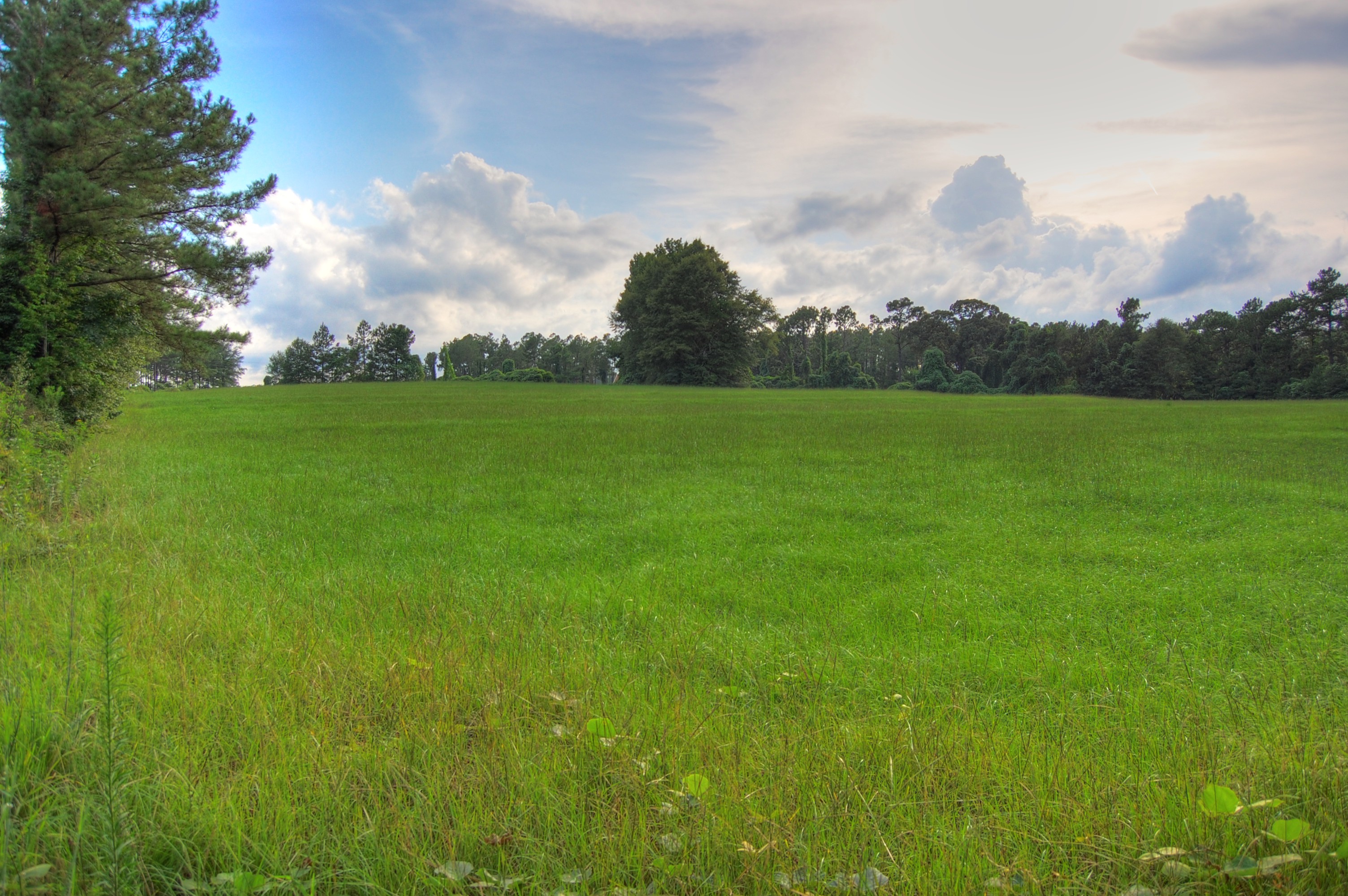
Field and Sky

Open Field 7

Road and clouds-HDR

Pecan Orchard

Field and Sky2
Field in purvis 2

Field meets sky

Pond with lily pads

Dirt Road to the Sky

Emmaline and the lily pads

Kudzu Growing 2

Grantham Cemetery 2
Topographic Map of Main St, Purvis, MS, USA
Find elevation by address:

Places near Main St, Purvis, MS, USA:
200 Main St
Purvis
17 Purvis Oloh Rd
Lamar County
500 Old Okahola Rd
71 Morgan Ln
18 E Seneca Rd, Lumberton, MS, USA
19 12 Oaks Dr
606 Beach Rd
Forrest County
Lumberton
21 Salbeka Crossing
W Main Ave, Lumberton, MS, USA
MS-13, Lumberton, MS, USA
127 Woodlands Trace
319 Geiger Lake Rd
319 Geiger Lake Rd
138 Lloyd Ladner Rd
43 West Ln, Hattiesburg, MS, USA
West Hattiesburg
Recent Searches:
- Elevation of Lampiasi St, Sarasota, FL, USA
- Elevation of Elwyn Dr, Roanoke Rapids, NC, USA
- Elevation of Congressional Dr, Stevensville, MD, USA
- Elevation of Bellview Rd, McLean, VA, USA
- Elevation of Stage Island Rd, Chatham, MA, USA
- Elevation of Shibuya Scramble Crossing, 21 Udagawacho, Shibuya City, Tokyo -, Japan
- Elevation of Jadagoniai, Kaunas District Municipality, Lithuania
- Elevation of Pagonija rock, Kranto 7-oji g. 8"N, Kaunas, Lithuania
- Elevation of Co Rd 87, Jamestown, CO, USA
- Elevation of Tenjo, Cundinamarca, Colombia