Elevation of Old Glasgow Rd, Mt Hermon, KY, USA
Location: United States > Kentucky > Monroe County > Mount Hermon >
Longitude: -85.822412
Latitude: 36.8090864
Elevation: 288m / 945feet
Barometric Pressure: 98KPa
Elevation Map:
Satellite Map:
Related Photos:

Hamilton School
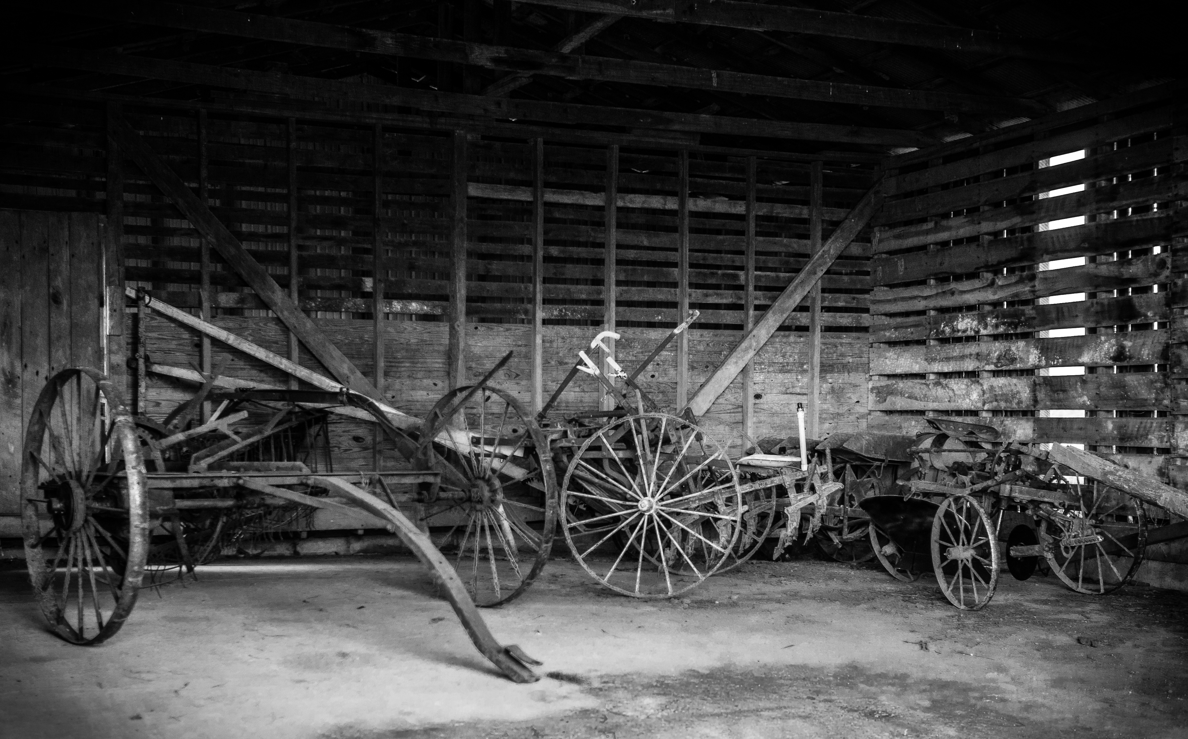
Amish Field Tools

Dry Fork, KY
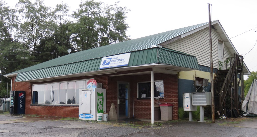
Post Office 42167 (Tompkinsville, Kentucky)
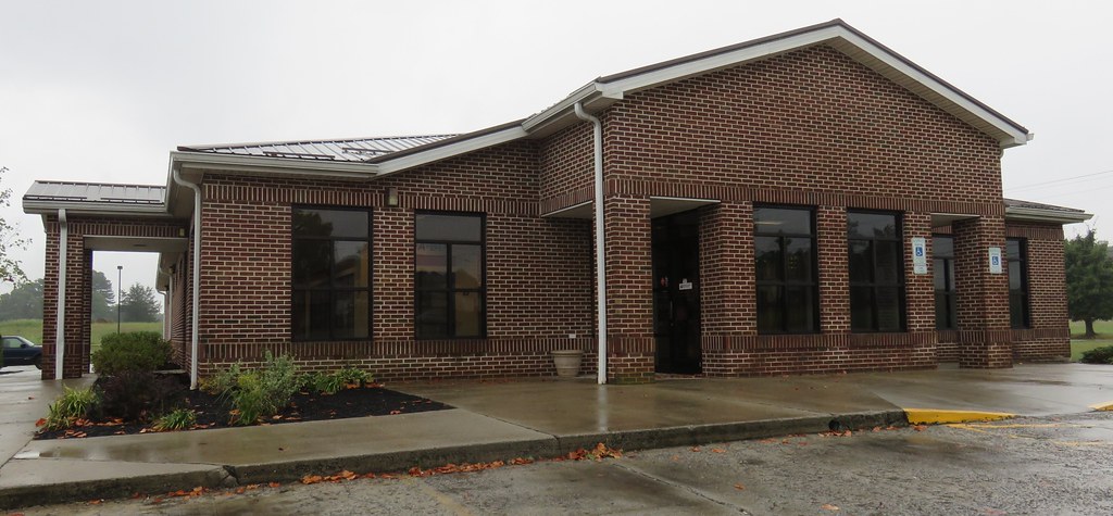
Post Office 42157 (Mount Hermon, Kentucky)

Shoe Shine
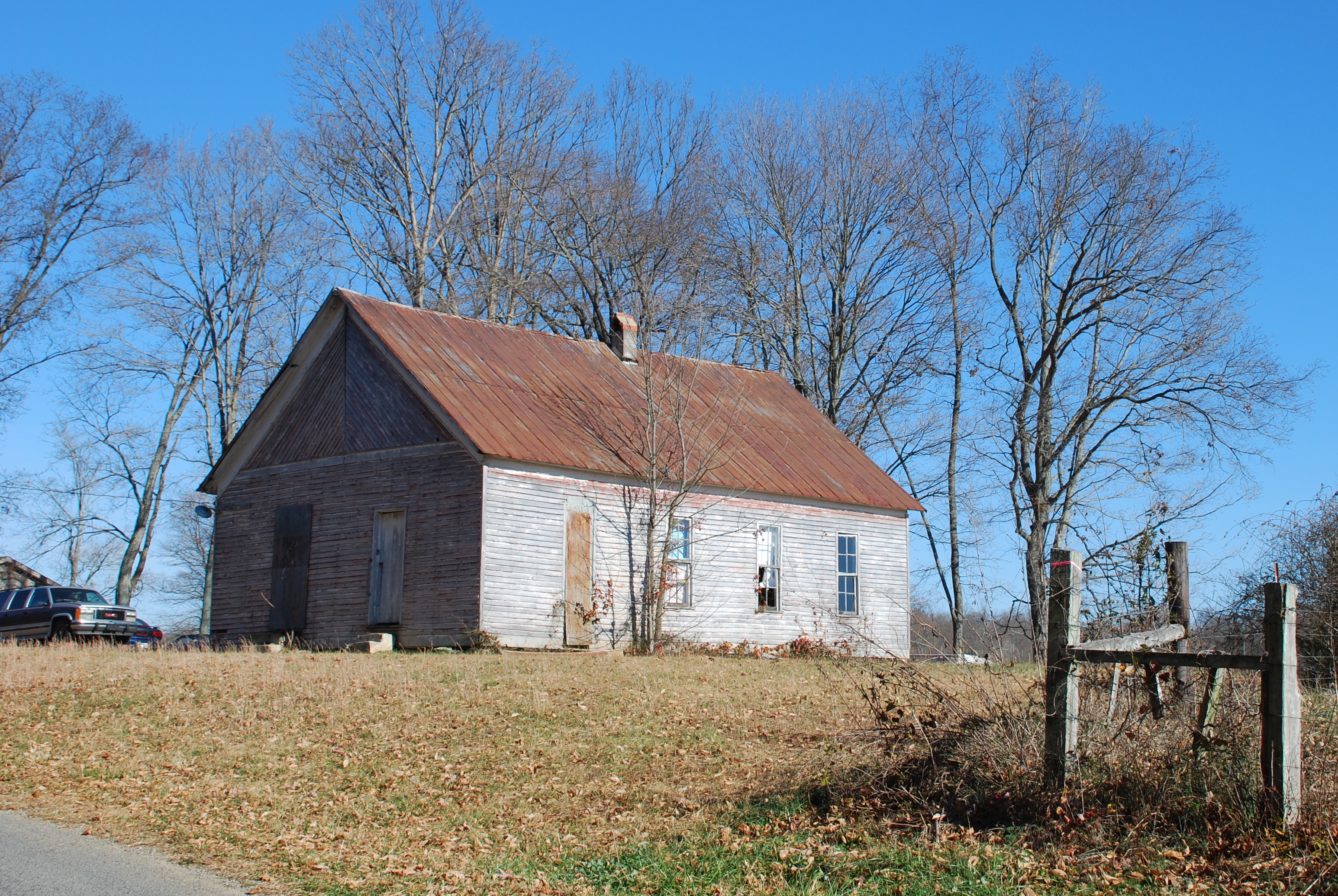
Hamilton School
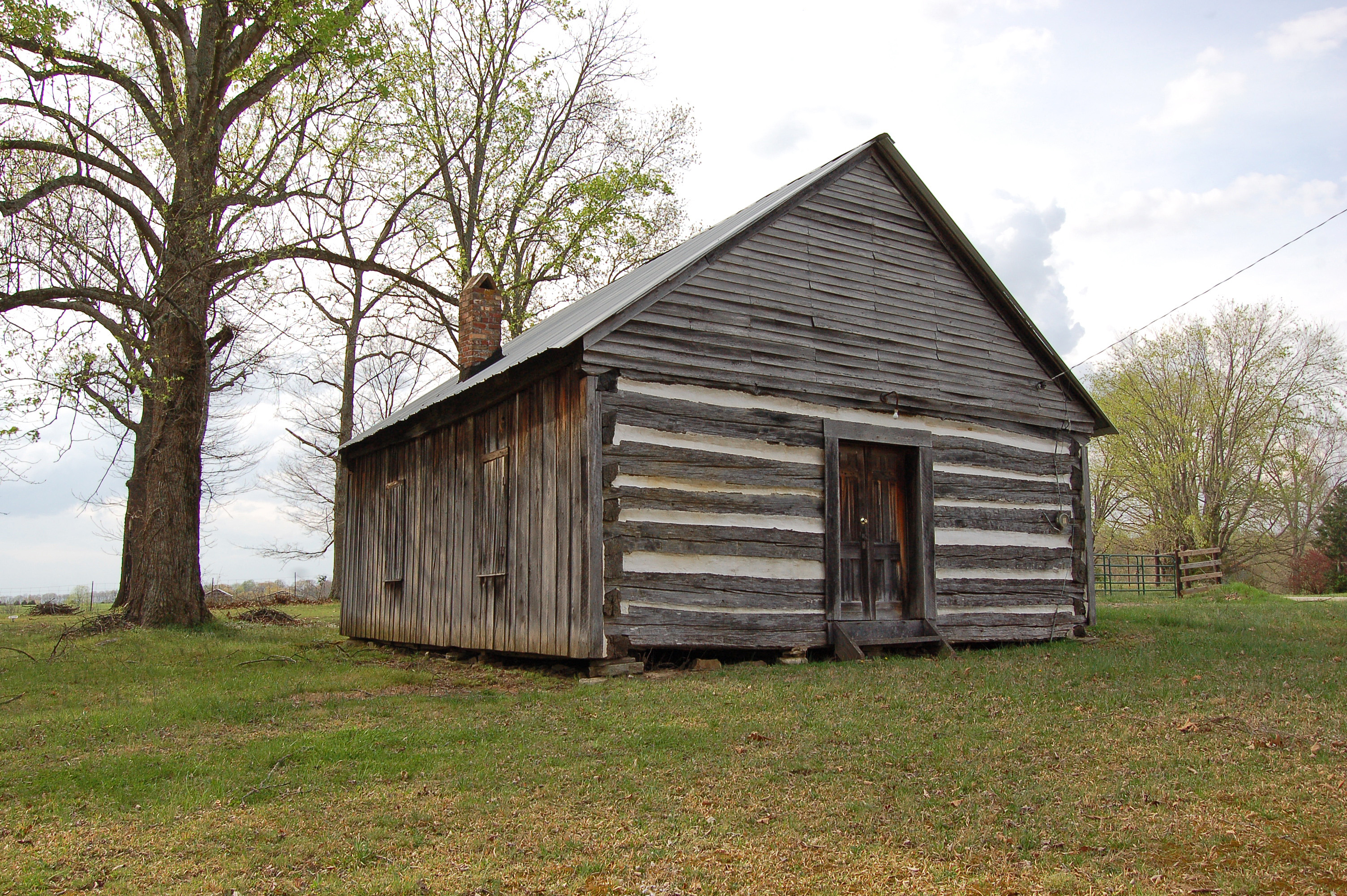
Kentucky, Monroe County, Free-Town Church
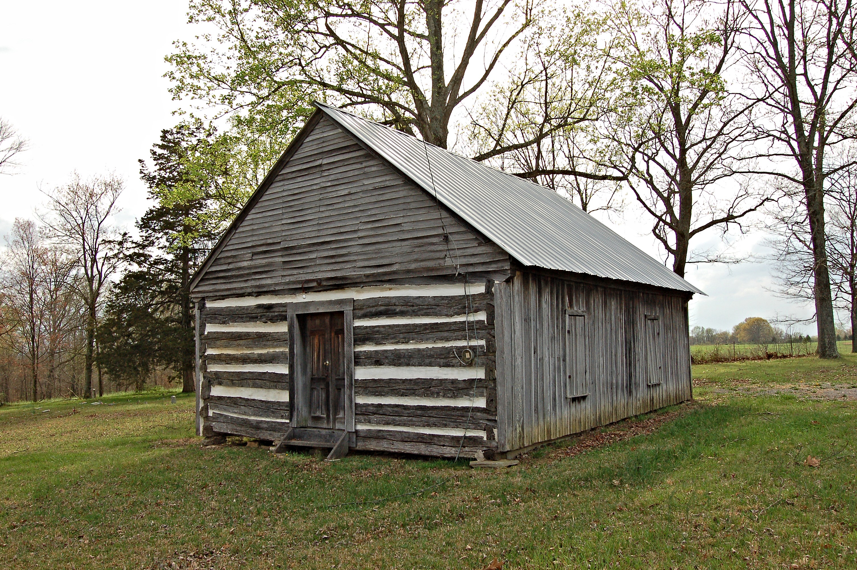
Kentucky, Monroe County, Free-Town Church
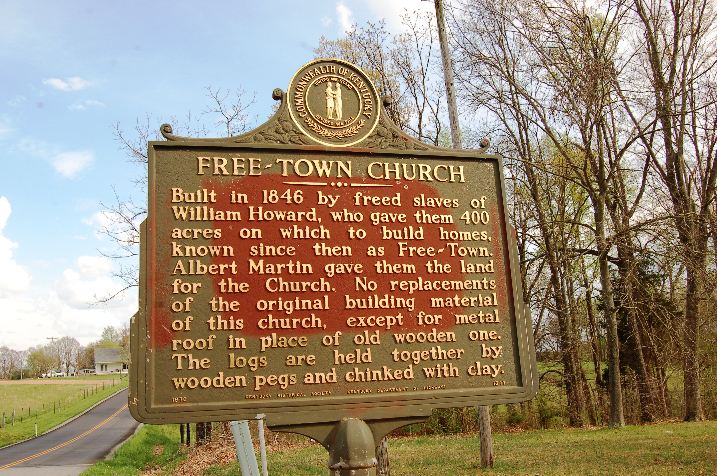
Kentucky, Monroe County, Free-Town Church
Topographic Map of Old Glasgow Rd, Mt Hermon, KY, USA
Find elevation by address:

Places near Old Glasgow Rd, Mt Hermon, KY, USA:
Mount Hermon
Tompkinsville Rd, Glasgow, KY, USA
Roseville Rd, Glasgow, KY, USA
2017 Vernon School Rd
Gamaliel Shooting Supply
Barren County
W Main St, Gamaliel, KY, USA
Gamaliel
77 Howard Bull Rd
20 Aberdeen Dr
100 Beverly Hills Dr
Scottsville Rd, Glasgow, KY, USA
Glasgow
Austin Tracy Rd, Lucas, KY, USA
505 N Race St
142 Brentwood Estates
Hagan Cir, Lafayette, TN, USA
103 Hummingbird Ln
West Main Street
West Main Street
Recent Searches:
- Elevation of Elwyn Dr, Roanoke Rapids, NC, USA
- Elevation of Congressional Dr, Stevensville, MD, USA
- Elevation of Bellview Rd, McLean, VA, USA
- Elevation of Stage Island Rd, Chatham, MA, USA
- Elevation of Shibuya Scramble Crossing, 21 Udagawacho, Shibuya City, Tokyo -, Japan
- Elevation of Jadagoniai, Kaunas District Municipality, Lithuania
- Elevation of Pagonija rock, Kranto 7-oji g. 8"N, Kaunas, Lithuania
- Elevation of Co Rd 87, Jamestown, CO, USA
- Elevation of Tenjo, Cundinamarca, Colombia
- Elevation of Côte-des-Neiges, Montreal, QC H4A 3J6, Canada