Elevation of Vernon School Rd, Glasgow, KY, USA
Location: United States > Kentucky > Barren County > Glasgow >
Longitude: -85.822051
Latitude: 36.9565805
Elevation: 275m / 902feet
Barometric Pressure: 98KPa
Elevation Map:
Satellite Map:
Related Photos:
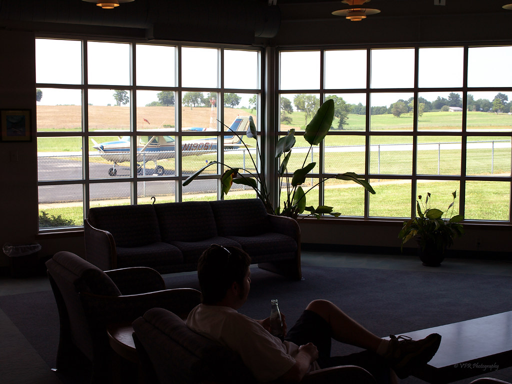
KGLW - Glasgow Municipal Airport, Barren County, Kentucky
us
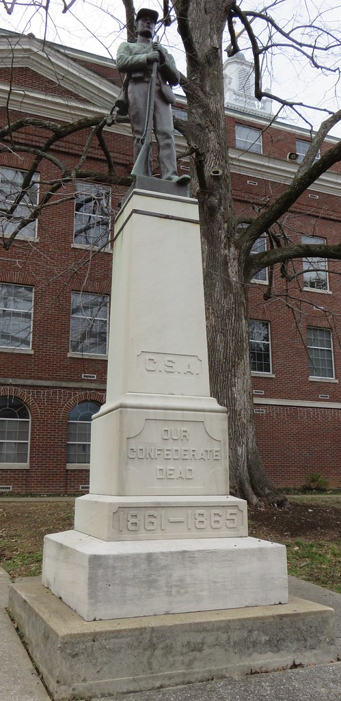
Barren County Civil War Monument (Glasgow, Kentucky)

Glasgow Kentucky, Barren County KY

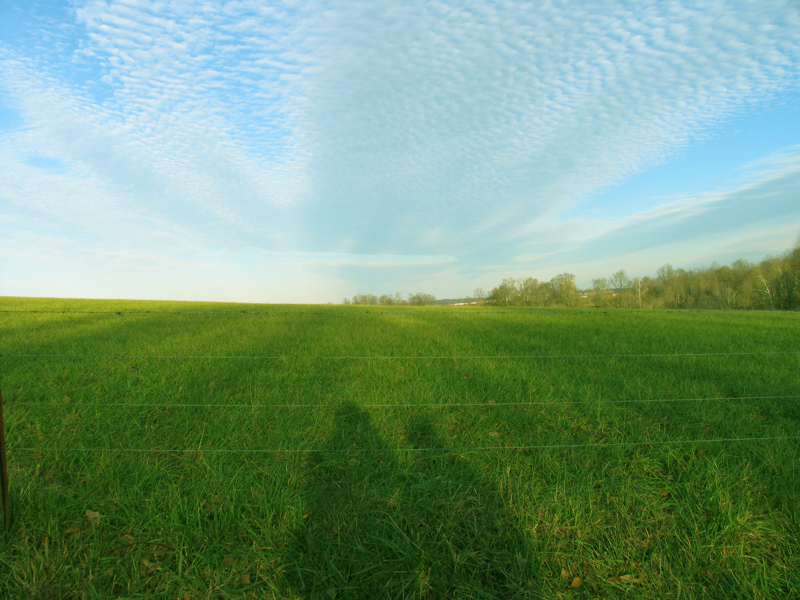
Brigadoon State Nature Preserve

Southern Two-lined Salamander (Eurycea cirrigera)
Topographic Map of Vernon School Rd, Glasgow, KY, USA
Find elevation by address:

Places near Vernon School Rd, Glasgow, KY, USA:
Barren County
77 Howard Bull Rd
Glasgow
505 N Race St
103 Hummingbird Ln
20 Aberdeen Dr
West Main Street
West Main Street
100 Beverly Hills Dr
Scottsville Rd, Glasgow, KY, USA
429 Bob Lewis Rd
142 Brentwood Estates
1480 Dripping Springs Rd
4017 Dripping Springs Rd
4017 Dripping Springs Rd
3629 Finney Rd
4071 Dripping Springs Rd
95 Libby Ct
Old Bowling Green Rd, Glasgow, KY, USA
425 Indian Point Rd
Recent Searches:
- Elevation of Lampiasi St, Sarasota, FL, USA
- Elevation of Elwyn Dr, Roanoke Rapids, NC, USA
- Elevation of Congressional Dr, Stevensville, MD, USA
- Elevation of Bellview Rd, McLean, VA, USA
- Elevation of Stage Island Rd, Chatham, MA, USA
- Elevation of Shibuya Scramble Crossing, 21 Udagawacho, Shibuya City, Tokyo -, Japan
- Elevation of Jadagoniai, Kaunas District Municipality, Lithuania
- Elevation of Pagonija rock, Kranto 7-oji g. 8"N, Kaunas, Lithuania
- Elevation of Co Rd 87, Jamestown, CO, USA
- Elevation of Tenjo, Cundinamarca, Colombia