Elevation of Mount Hermon, Mt Hermon, KY, USA
Location: United States > Kentucky > Monroe County >
Longitude: -85.820808
Latitude: 36.806721
Elevation: 300m / 984feet
Barometric Pressure: 98KPa
Elevation Map:
Satellite Map:
Related Photos:

Hamilton School
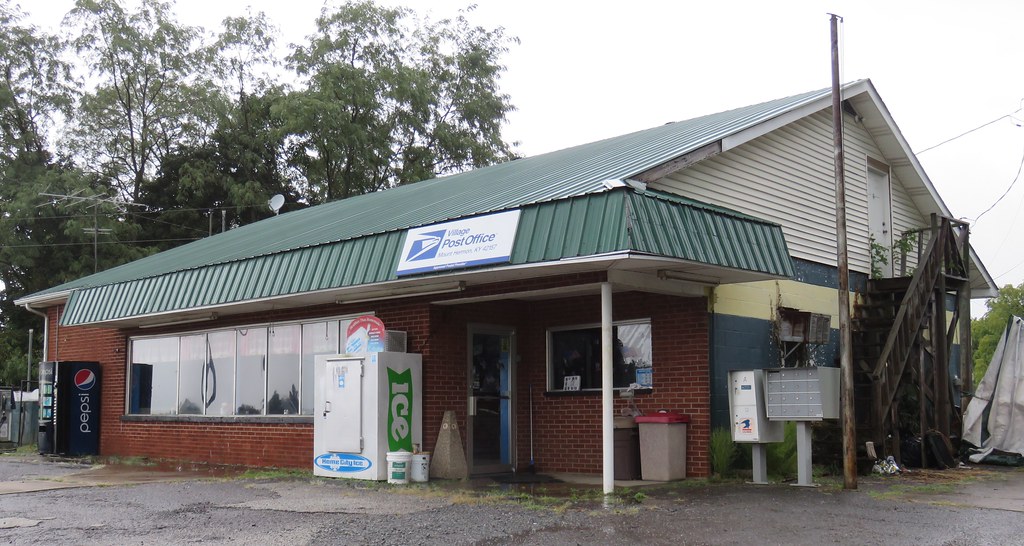
Post Office 42167 (Tompkinsville, Kentucky)
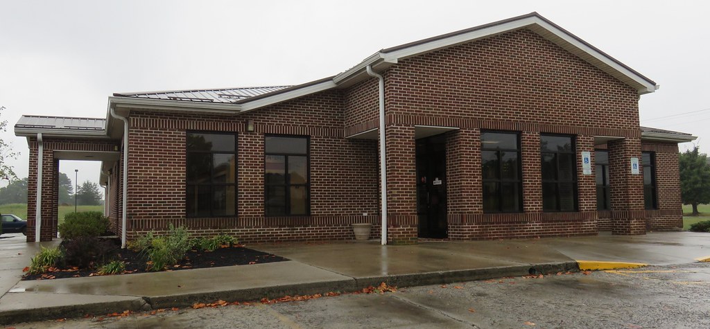
Post Office 42157 (Mount Hermon, Kentucky)

Shoe Shine
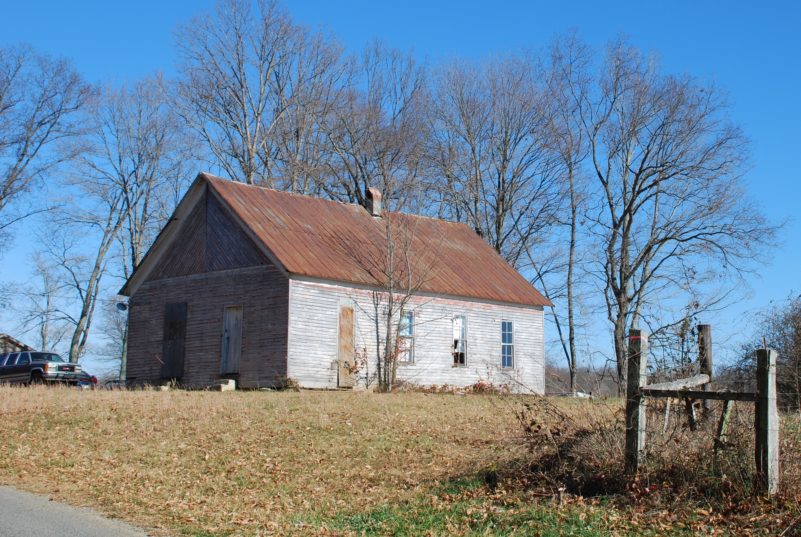
Hamilton School
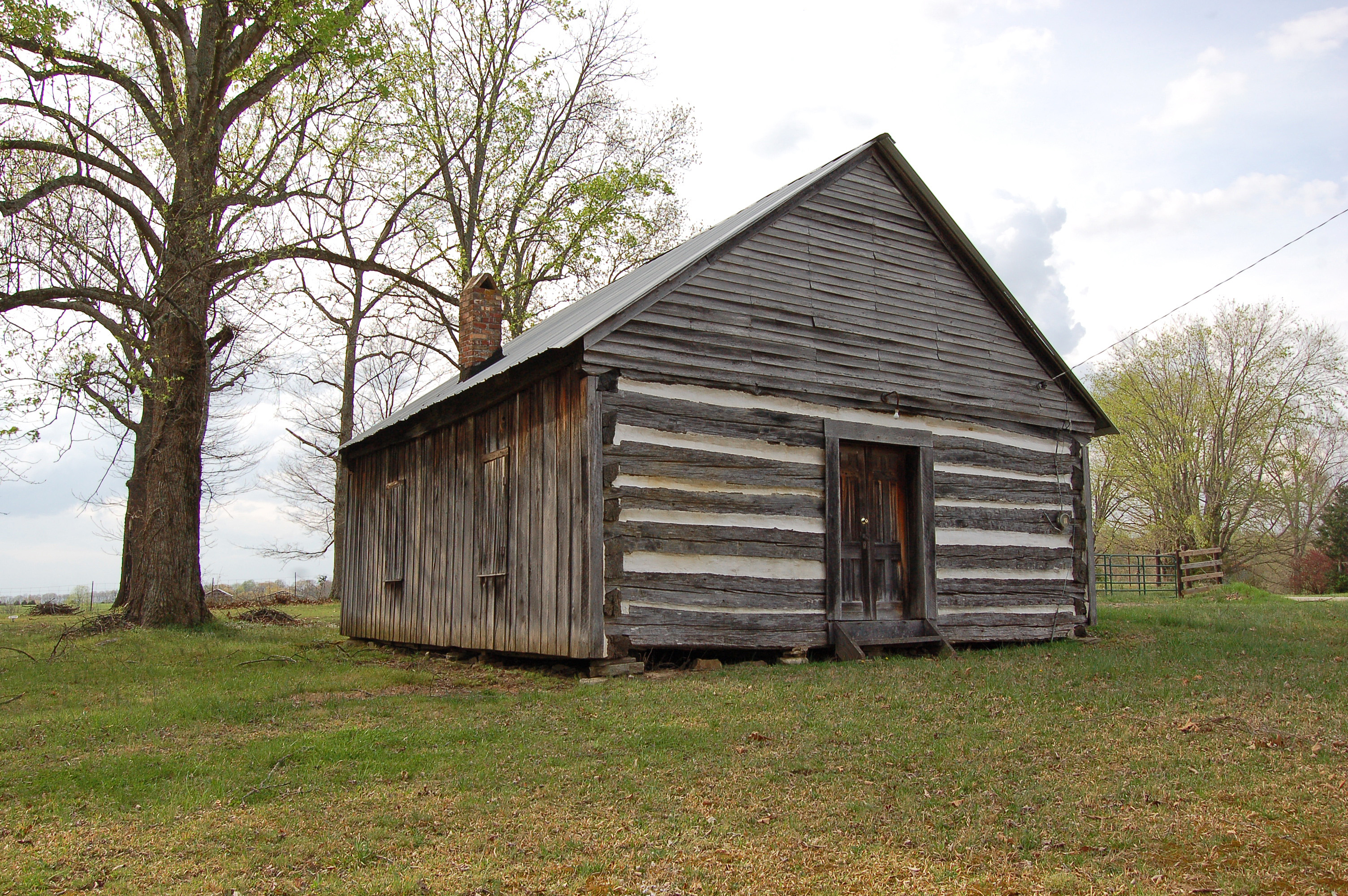
Kentucky, Monroe County, Free-Town Church
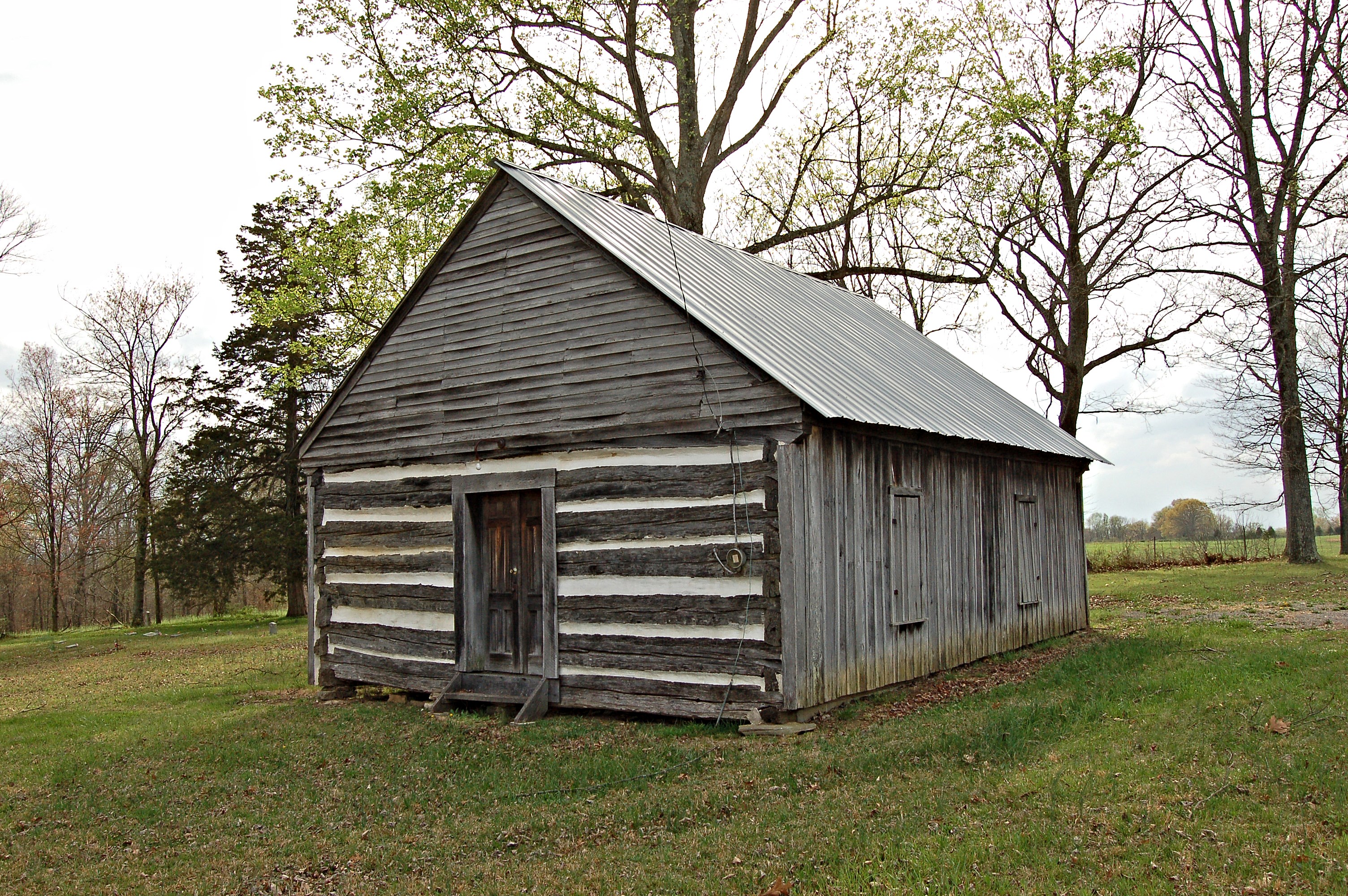
Kentucky, Monroe County, Free-Town Church
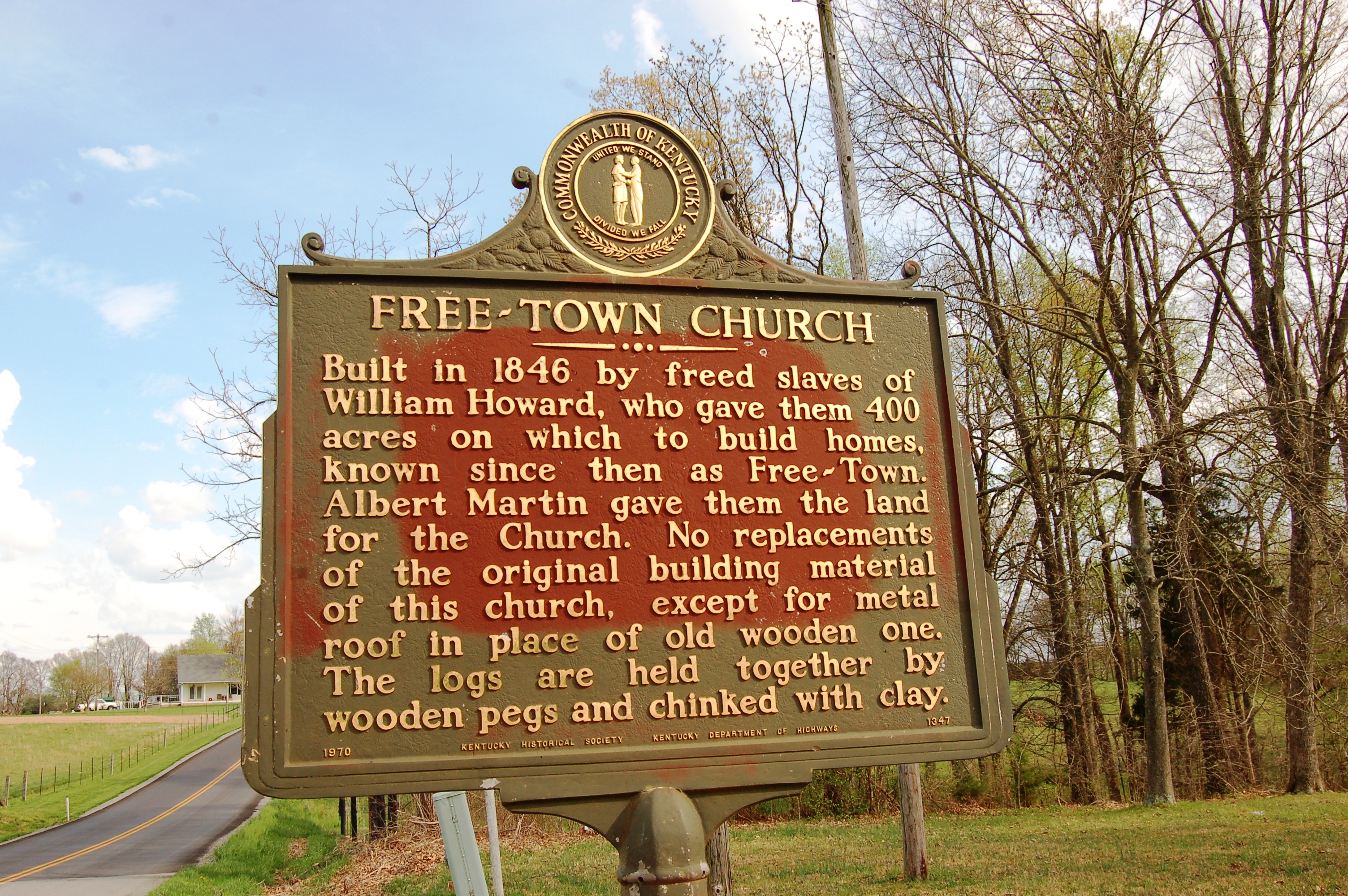
Kentucky, Monroe County, Free-Town Church

Family - 8

Amish Field Tools

Dry Fork, KY
Topographic Map of Mount Hermon, Mt Hermon, KY, USA
Find elevation by address:

Places in Mount Hermon, Mt Hermon, KY, USA:
Places near Mount Hermon, Mt Hermon, KY, USA:
Old Glasgow Rd, Mt Hermon, KY, USA
Tompkinsville Rd, Glasgow, KY, USA
Roseville Rd, Glasgow, KY, USA
Gamaliel Shooting Supply
2017 Vernon School Rd
Barren County
W Main St, Gamaliel, KY, USA
Gamaliel
77 Howard Bull Rd
20 Aberdeen Dr
100 Beverly Hills Dr
Scottsville Rd, Glasgow, KY, USA
Glasgow
Hagan Cir, Lafayette, TN, USA
Austin Tracy Rd, Lucas, KY, USA
505 N Race St
142 Brentwood Estates
103 Hummingbird Ln
West Main Street
West Main Street
Recent Searches:
- Elevation of Elwyn Dr, Roanoke Rapids, NC, USA
- Elevation of Congressional Dr, Stevensville, MD, USA
- Elevation of Bellview Rd, McLean, VA, USA
- Elevation of Stage Island Rd, Chatham, MA, USA
- Elevation of Shibuya Scramble Crossing, 21 Udagawacho, Shibuya City, Tokyo -, Japan
- Elevation of Jadagoniai, Kaunas District Municipality, Lithuania
- Elevation of Pagonija rock, Kranto 7-oji g. 8"N, Kaunas, Lithuania
- Elevation of Co Rd 87, Jamestown, CO, USA
- Elevation of Tenjo, Cundinamarca, Colombia
- Elevation of Côte-des-Neiges, Montreal, QC H4A 3J6, Canada