Elevation of Oakland Road, Oakland Rd, Gay, GA, USA
Location: United States > Georgia > Meriwether County > Gay >
Longitude: -84.572375
Latitude: 33.0950535
Elevation: 255m / 837feet
Barometric Pressure: 98KPa
Elevation Map:
Satellite Map:
Related Photos:

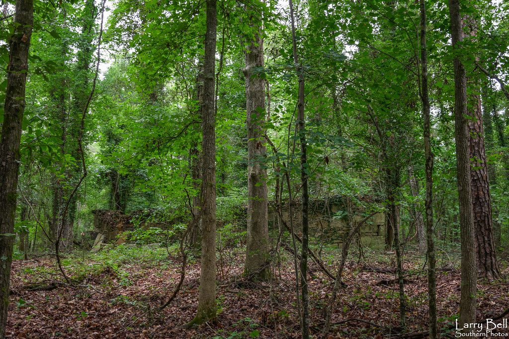
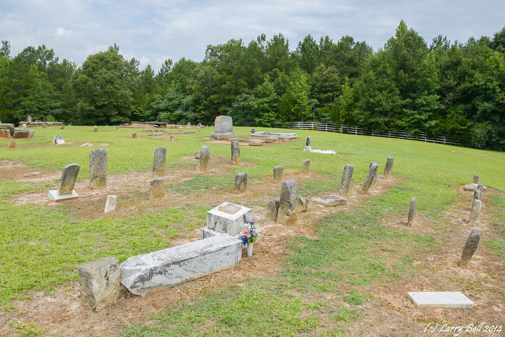
gregg farms pike county georgia
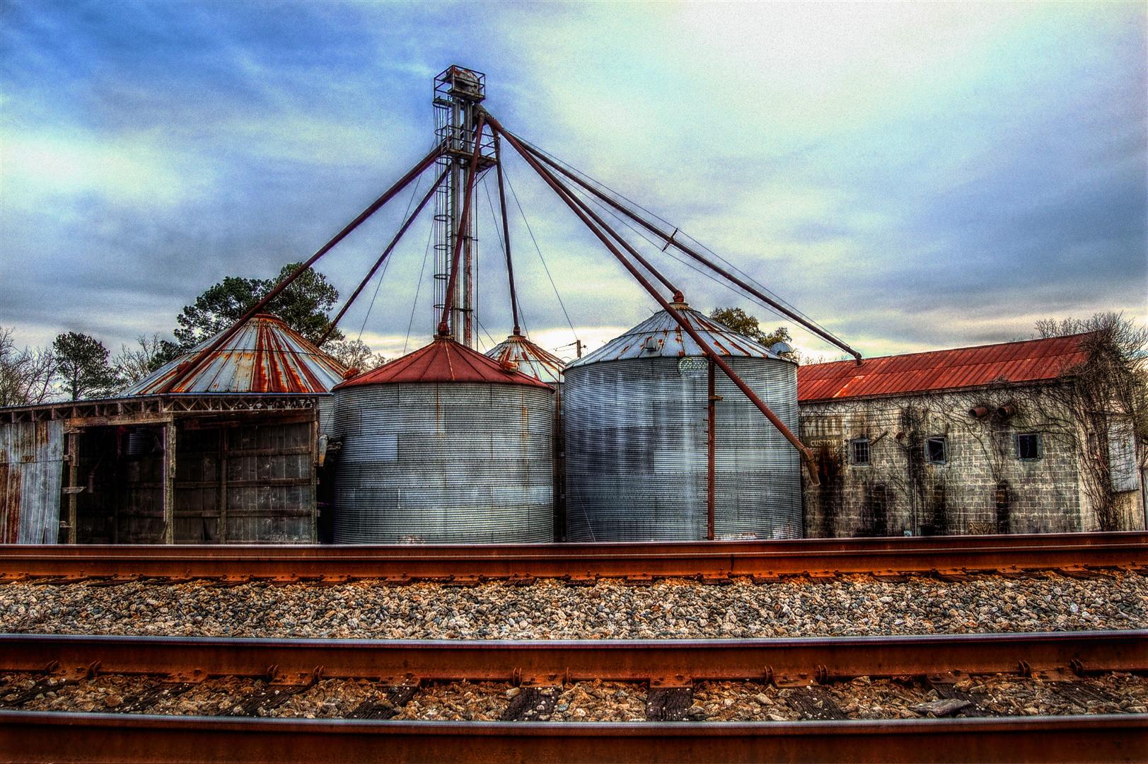
View from the Tracks, The ESCO Feed Mill in Haralson, Georgia, USA, HDR

Under a Sea of Clouds

Gold on Still Branch

Way After Sunset
Ola June 2011 (48)
DSC_0958.jpg
Mill pond
DSC_0953.jpg
DSC_0974.jpg
Dusk: Molena, Georgia
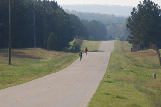
Tour de Pike
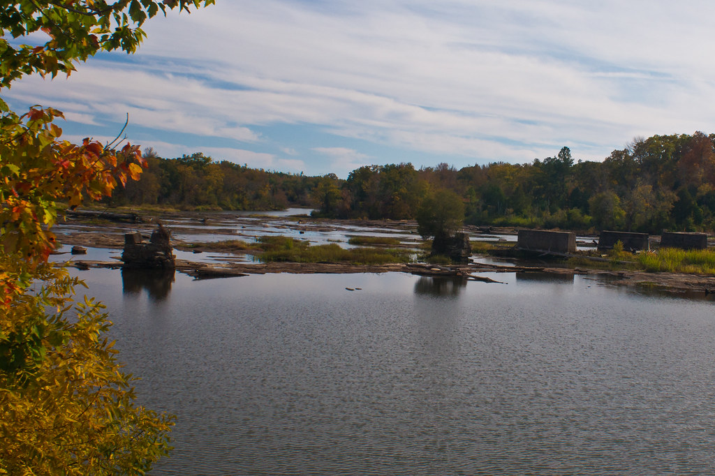
Flint River

DSC_0987.jpg
DSC_0088.jpg
Ola June 2011 (3)
DSC_0053.jpg
DSC_0054.jpg
DSC_0957.jpg
DSC_0001.jpg

2018-07-08_10-33-04

Best Effort
DSC_0954-Pano.jpg

DSC_0083.jpg
Topographic Map of Oakland Road, Oakland Rd, Gay, GA, USA
Find elevation by address:

Places near Oakland Road, Oakland Rd, Gay, GA, USA:
Gay
Massengale Mill Rd, Gay, GA, USA
4452 Oakland Rd
4452 Oakland Rd
4452 Oakland Rd
Mount Carmel Road
Mount Carmel Road
Friendship Circle
Meriwether County
1839 Bottoms Rd
GA-, Williamson, GA, USA
1988 Eppinger Bridge Rd
Concord
757 W Fossett Rd
2nd St, Concord, GA, USA
2126 Eppinger Bridge Rd
2201 Green St
Roosevelt Hwy, Greenville, GA, USA
Rockbridge Farm Road
Rockbridge Farm Road
Recent Searches:
- Elevation of Congressional Dr, Stevensville, MD, USA
- Elevation of Bellview Rd, McLean, VA, USA
- Elevation of Stage Island Rd, Chatham, MA, USA
- Elevation of Shibuya Scramble Crossing, 21 Udagawacho, Shibuya City, Tokyo -, Japan
- Elevation of Jadagoniai, Kaunas District Municipality, Lithuania
- Elevation of Pagonija rock, Kranto 7-oji g. 8"N, Kaunas, Lithuania
- Elevation of Co Rd 87, Jamestown, CO, USA
- Elevation of Tenjo, Cundinamarca, Colombia
- Elevation of Côte-des-Neiges, Montreal, QC H4A 3J6, Canada
- Elevation of Bobcat Dr, Helena, MT, USA