Elevation of Massengale Mill Rd, Gay, GA, USA
Location: United States > Georgia > Meriwether County > Gay >
Longitude: -84.593801
Latitude: 33.1063029
Elevation: 254m / 833feet
Barometric Pressure: 98KPa
Elevation Map:
Satellite Map:
Related Photos:
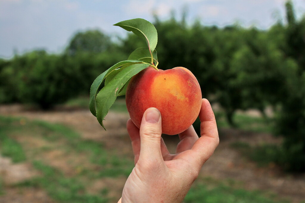
gregg farms pike county georgia
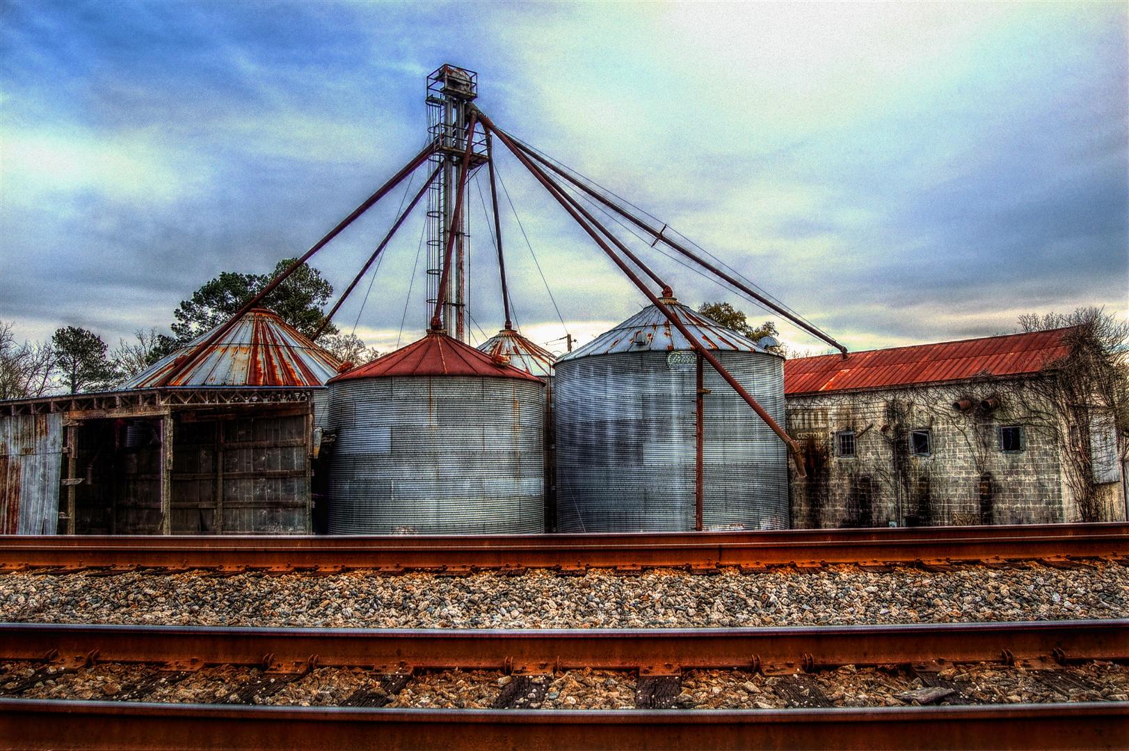
View from the Tracks, The ESCO Feed Mill in Haralson, Georgia, USA, HDR

Under a Sea of Clouds

River of Mercury

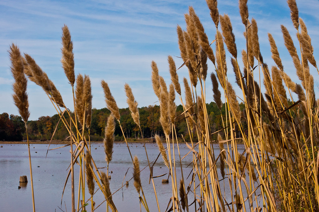
Gold on Still Branch

Way After Sunset

DSC_0083.jpg
DSC_0087.jpg

DSC_0953.jpg
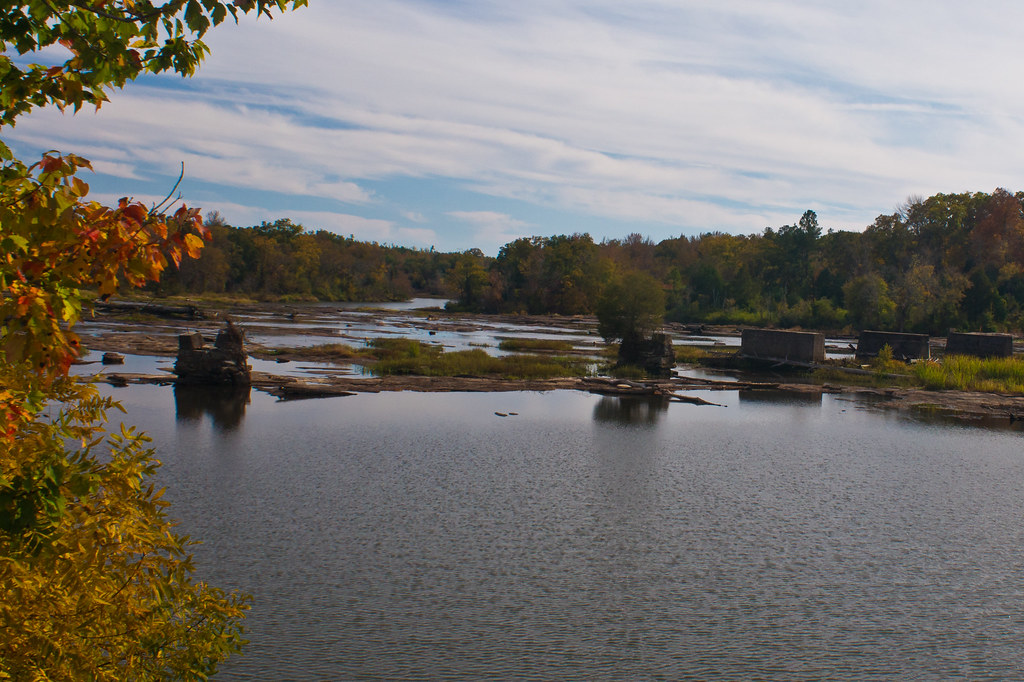
Mill pond

DSC_0062.jpg

Barn and Lens Flare - Landscape
Flint River
Dusk: Molena, Georgia
DSC_0088.jpg
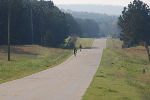
Tour de Pike
DSC_0053.jpg
DSC_0072.jpg
DSC_0054.jpg

DSC_0979.jpg

DSC_0959.jpg

DSC_0982.jpg

Best Effort
DSC_0001.jpg
Topographic Map of Massengale Mill Rd, Gay, GA, USA
Find elevation by address:

Places near Massengale Mill Rd, Gay, GA, USA:
Gay
Oakland Road
4452 Oakland Rd
4452 Oakland Rd
4452 Oakland Rd
Mount Carmel Road
Mount Carmel Road
Meriwether County
Friendship Circle
Roosevelt Hwy, Greenville, GA, USA
GA-, Williamson, GA, USA
1839 Bottoms Rd
Concord
1988 Eppinger Bridge Rd
2nd St, Concord, GA, USA
757 W Fossett Rd
2126 Eppinger Bridge Rd
2201 Green St
Rockbridge Farm Road
Rockbridge Farm Road
Recent Searches:
- Elevation of 30 Oak Lawn Dr, Barkhamsted, CT, USA
- Elevation of Luther Road, Luther Rd, Auburn, CA, USA
- Elevation of Unnamed Road, Respublika Severnaya Osetiya — Alaniya, Russia
- Elevation of Verkhny Fiagdon, North Ossetia–Alania Republic, Russia
- Elevation of F. Viola Hiway, San Rafael, Bulacan, Philippines
- Elevation of Herbage Dr, Gulfport, MS, USA
- Elevation of Lilac Cir, Haldimand, ON N3W 2G9, Canada
- Elevation of Harrod Branch Road, Harrod Branch Rd, Kentucky, USA
- Elevation of Wyndham Grand Barbados Sam Lords Castle All Inclusive Resort, End of Belair Road, Long Bay, Bridgetown Barbados
- Elevation of Iga Trl, Maggie Valley, NC, USA