Elevation of Gay, GA, USA
Location: United States > Georgia > Meriwether County >
Longitude: -84.573815
Latitude: 33.0937361
Elevation: 254m / 833feet
Barometric Pressure: 98KPa
Elevation Map:
Satellite Map:
Related Photos:
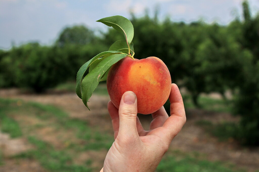
gregg farms pike county georgia
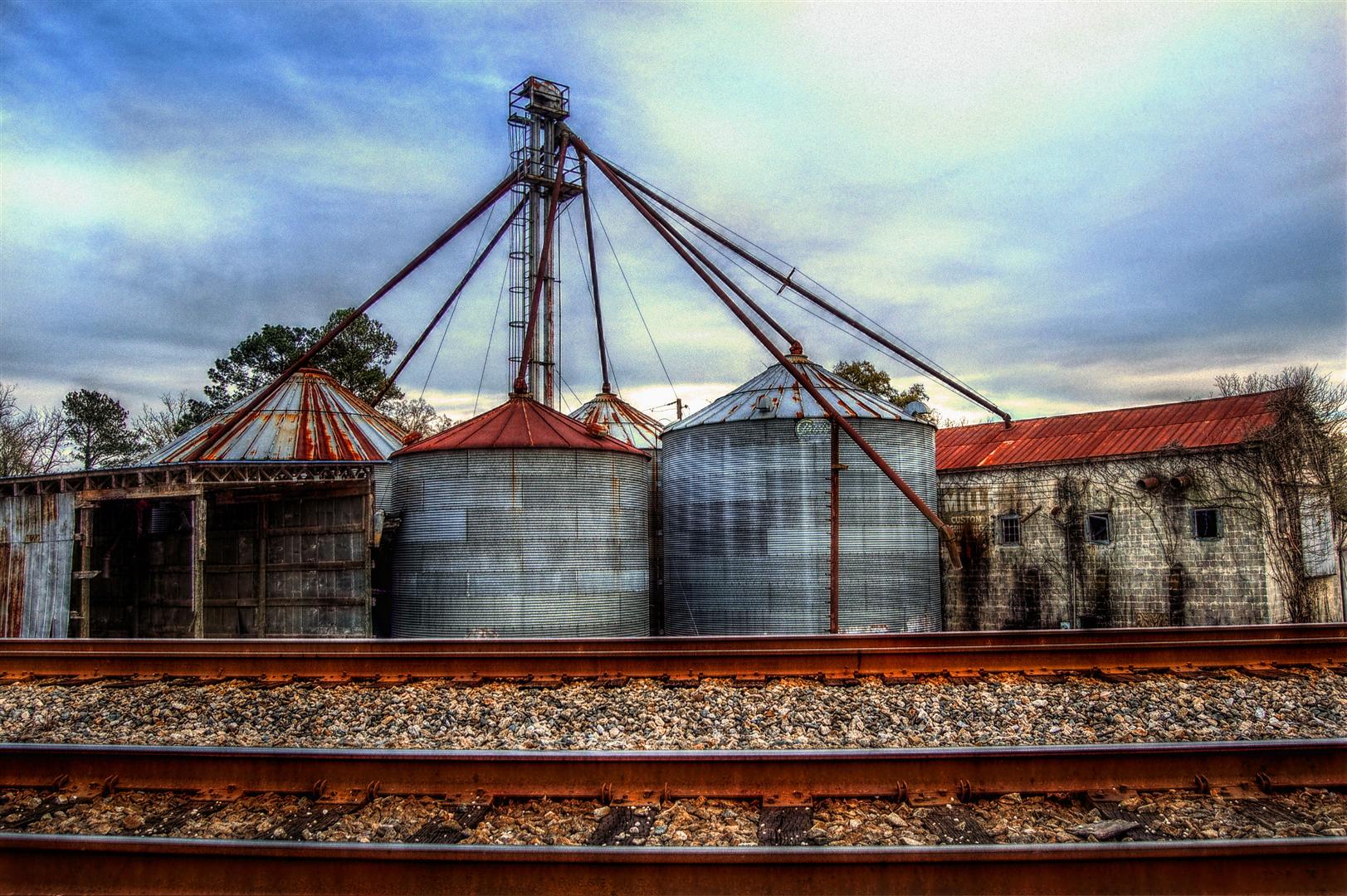
View from the Tracks, The ESCO Feed Mill in Haralson, Georgia, USA, HDR

Under a Sea of Clouds

River of Mercury

Gold on Still Branch

Way After Sunset

DSC_0083.jpg
DSC_0087.jpg

DSC_0953.jpg
Mill pond

DSC_0062.jpg

Barn and Lens Flare - Landscape
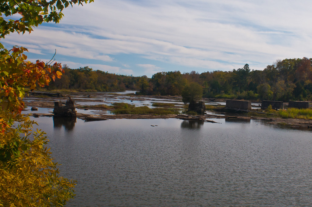
Flint River
Dusk: Molena, Georgia
DSC_0088.jpg
Tour de Pike
DSC_0053.jpg
DSC_0072.jpg
DSC_0054.jpg

DSC_0979.jpg

DSC_0959.jpg

DSC_0982.jpg

Best Effort
DSC_0001.jpg
Topographic Map of Gay, GA, USA
Find elevation by address:

Places in Gay, GA, USA:
Places near Gay, GA, USA:
Oakland Road
Massengale Mill Rd, Gay, GA, USA
4452 Oakland Rd
4452 Oakland Rd
4452 Oakland Rd
Mount Carmel Road
Mount Carmel Road
Friendship Circle
Meriwether County
1839 Bottoms Rd
GA-, Williamson, GA, USA
1988 Eppinger Bridge Rd
Concord
757 W Fossett Rd
2nd St, Concord, GA, USA
2126 Eppinger Bridge Rd
2201 Green St
Roosevelt Hwy, Greenville, GA, USA
Rockbridge Farm Road
Rockbridge Farm Road
Recent Searches:
- Elevation of Tenjo, Cundinamarca, Colombia
- Elevation of Côte-des-Neiges, Montreal, QC H4A 3J6, Canada
- Elevation of Bobcat Dr, Helena, MT, USA
- Elevation of Zu den Ihlowbergen, Althüttendorf, Germany
- Elevation of Badaber, Peshawar, Khyber Pakhtunkhwa, Pakistan
- Elevation of SE Heron Loop, Lincoln City, OR, USA
- Elevation of Slanický ostrov, 01 Námestovo, Slovakia
- Elevation of Spaceport America, Co Rd A, Truth or Consequences, NM, USA
- Elevation of Warwick, RI, USA
- Elevation of Fern Rd, Whitmore, CA, USA