Elevation of North Rod and Gun Road, N Rod and Gun Rd, Montmorency Township, MI, USA
Location: United States > Michigan > Montmorency County >
Longitude: -84.155009
Latitude: 45.121158
Elevation: 309m / 1014feet
Barometric Pressure: 98KPa
Elevation Map:
Satellite Map:
Related Photos:
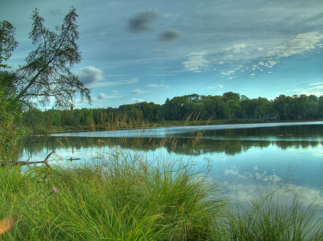
Canada Creek Ranch Lake #2
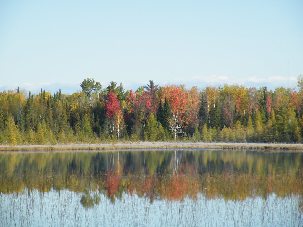
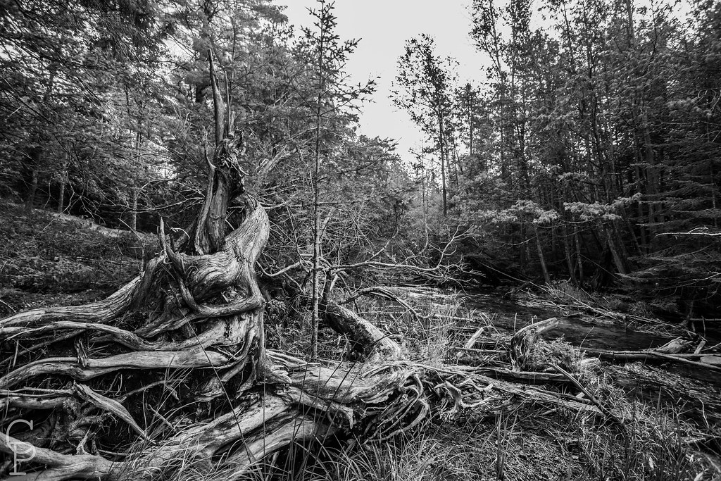
another view of decau lake
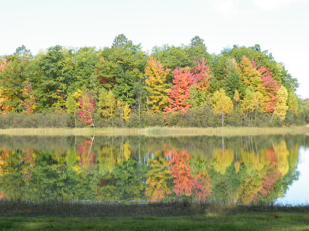
another view of the relections
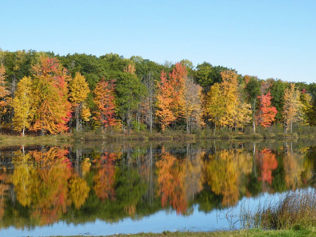
a view of grass lake
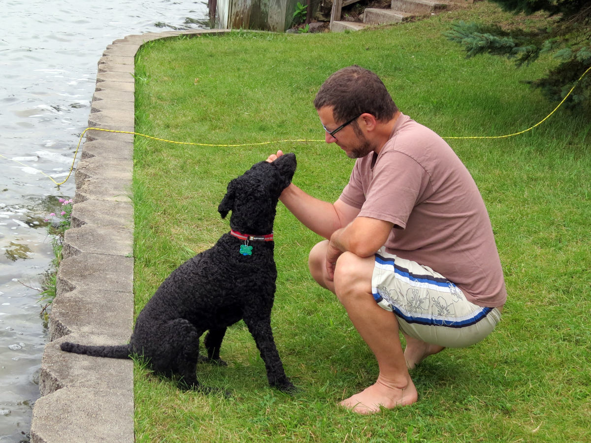
Good Morning, Kit Kat

Isaac and Bear Fishing for Smallies

Isaac Paddle Boarding
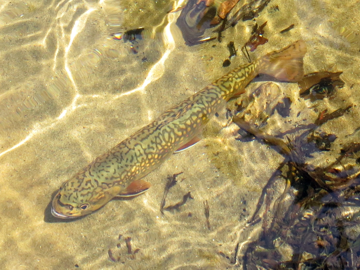
Brook Trout (Salvelinus fontinalis)
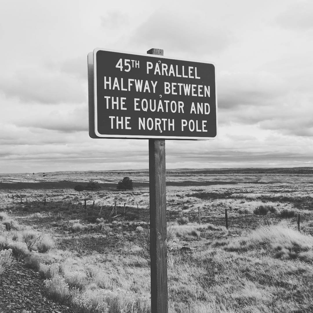
Halfway to the #northpole #santa #christmas #winter #elf

Eastlakes and Krafts (Full of Blueberries)

Into the light...
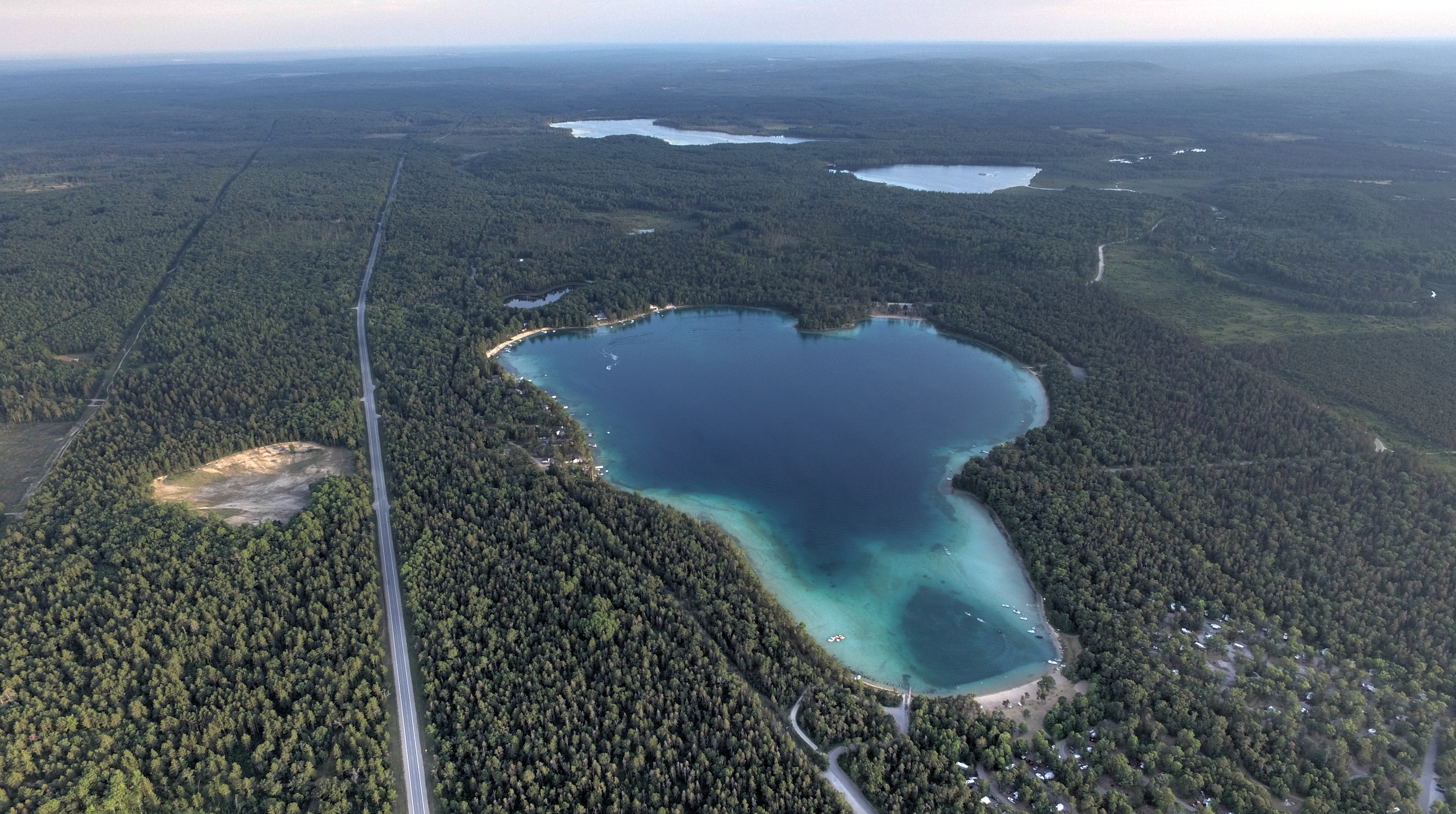
Clear Lake Clear Day

Clear Lake Sunset
We Call Home

Thank you Ashley for your kind words. #weddingreview #testimonials #reviews
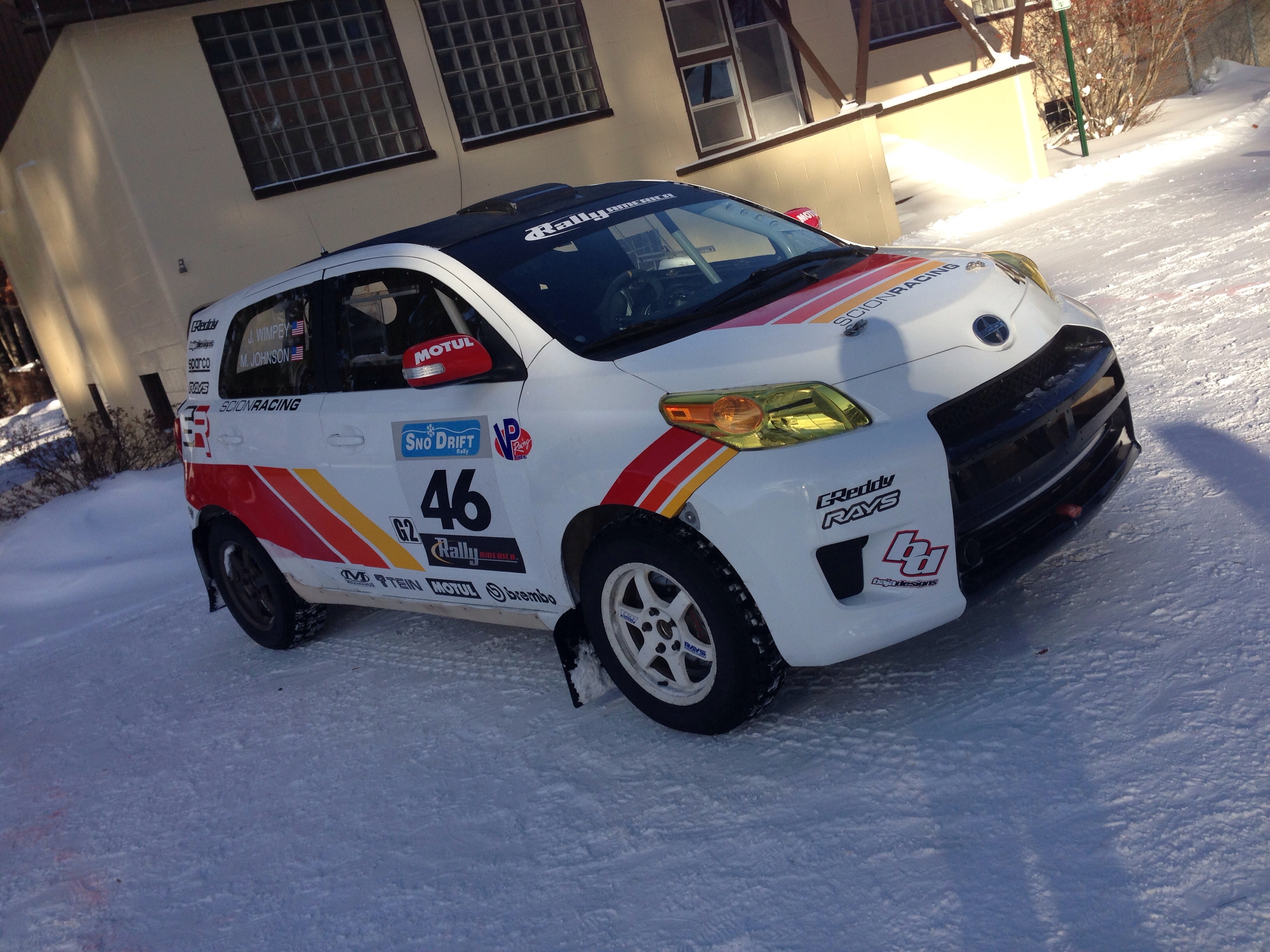
Sno*Drift
Topographic Map of North Rod and Gun Road, N Rod and Gun Rd, Montmorency Township, MI, USA
Find elevation by address:

Places near North Rod and Gun Road, N Rod and Gun Rd, Montmorency Township, MI, USA:
Montmorency County
Briley
12111 Reiman Rd
12111 Reiman Rd
12111 Reiman Rd
Atlanta
10875 River Dr
Case Township
Hillman Township
18343 Valerie Dr
Main St, Millersburg, MI, USA
Millersburg
Hillman
4624 S Black River Rd
Silver Beach Rd, Onaway, MI, USA
Black Lake
8334 Ross Rd
Grant Township
4210 M-65
N Black River Rd, Cheboygan, MI, USA
Recent Searches:
- Elevation of Elwyn Dr, Roanoke Rapids, NC, USA
- Elevation of Congressional Dr, Stevensville, MD, USA
- Elevation of Bellview Rd, McLean, VA, USA
- Elevation of Stage Island Rd, Chatham, MA, USA
- Elevation of Shibuya Scramble Crossing, 21 Udagawacho, Shibuya City, Tokyo -, Japan
- Elevation of Jadagoniai, Kaunas District Municipality, Lithuania
- Elevation of Pagonija rock, Kranto 7-oji g. 8"N, Kaunas, Lithuania
- Elevation of Co Rd 87, Jamestown, CO, USA
- Elevation of Tenjo, Cundinamarca, Colombia
- Elevation of Côte-des-Neiges, Montreal, QC H4A 3J6, Canada