Elevation of Grant Township, MI, USA
Location: United States > Michigan > Cheboygan County >
Longitude: -84.331465
Latitude: 45.5170214
Elevation: 189m / 620feet
Barometric Pressure: 99KPa
Elevation Map:
Satellite Map:
Related Photos:

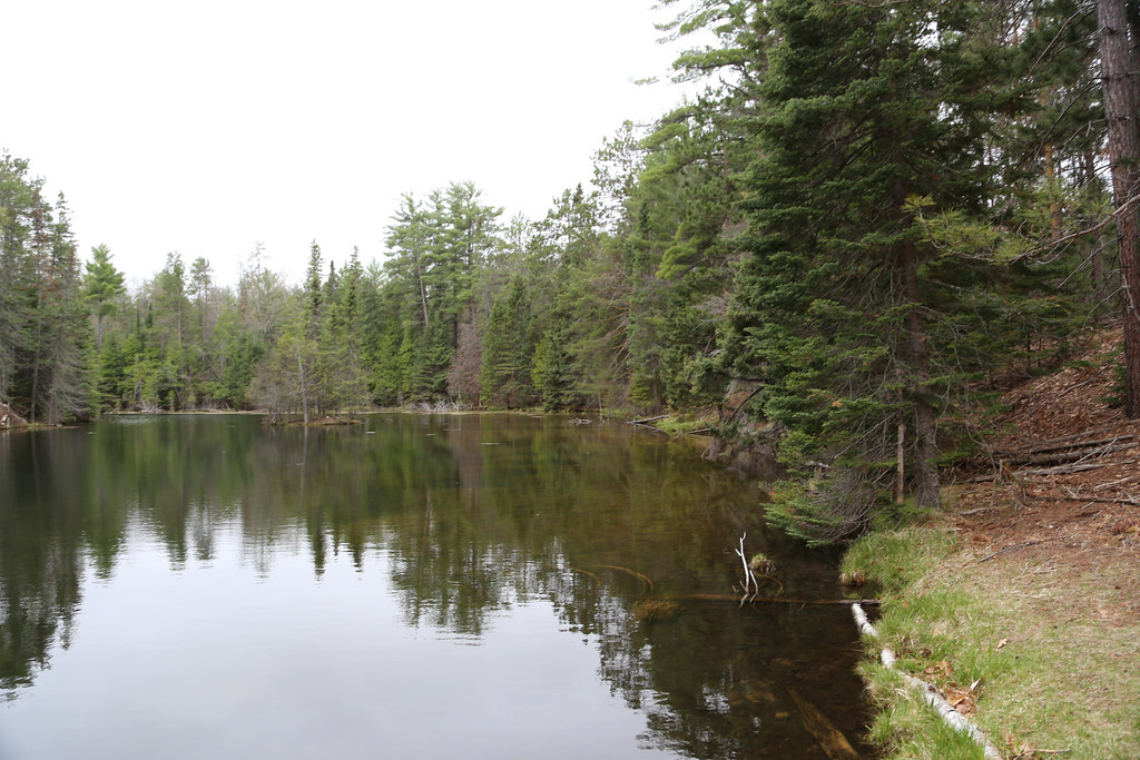
Fourth of July trip (3 of 7) - @ a scenic view
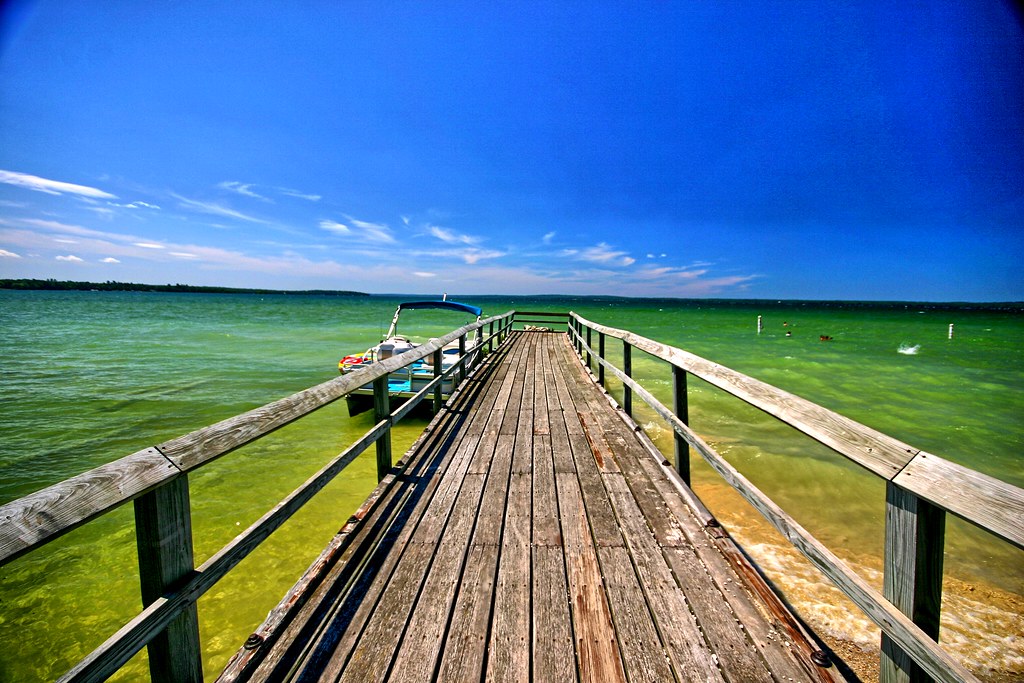
Pier going out into Mullet Lake
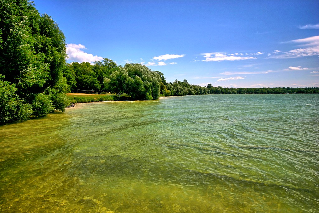
Lovely waters
Rocks reaching into the tropical waters
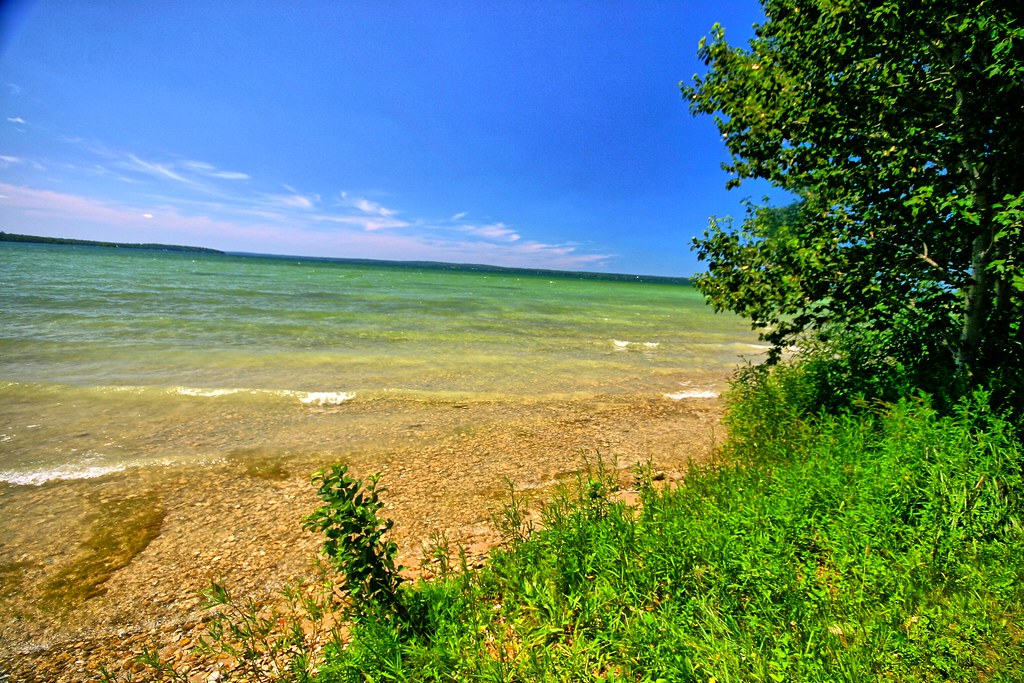
Pure Michigan!
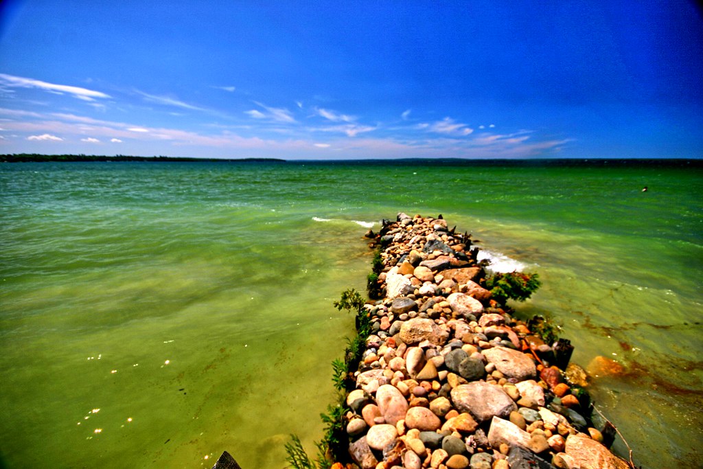
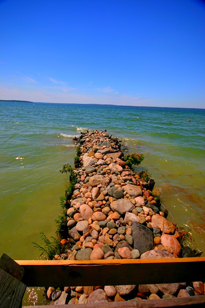
Pier of rocks
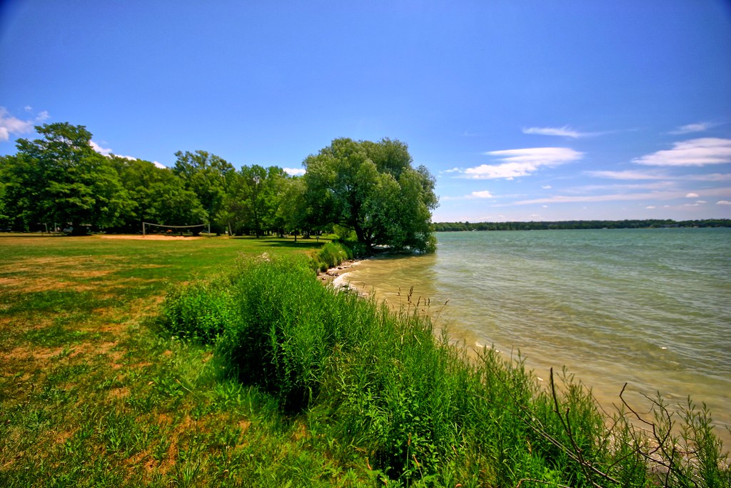
Lake side

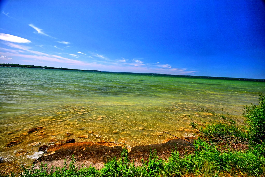
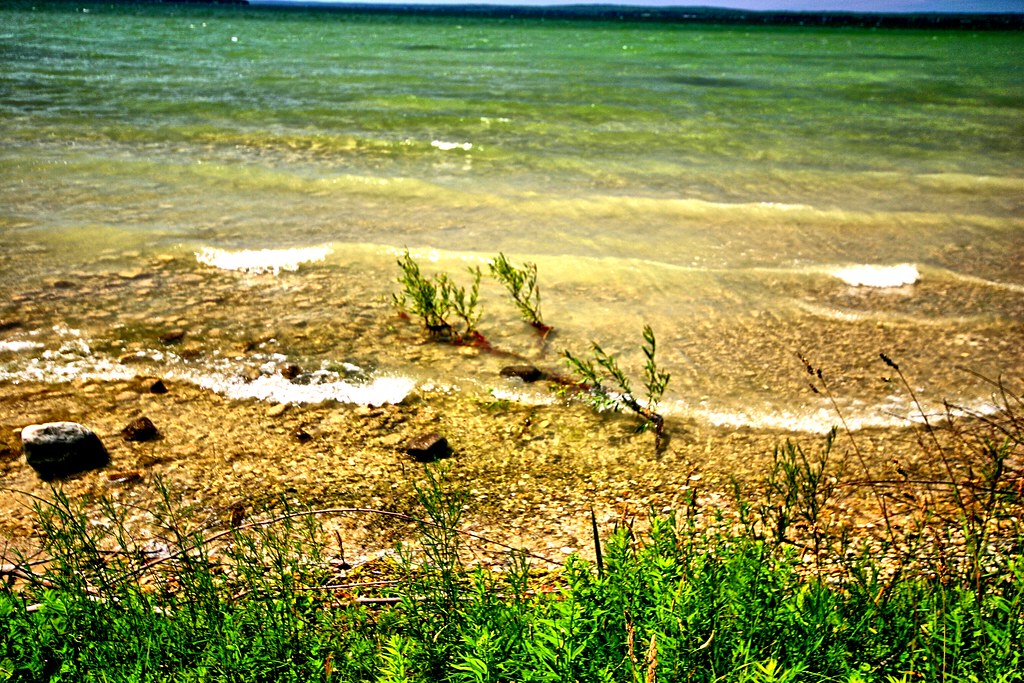
Inviting waters

Aloha State Park II
Majestic waters II
Majestic waters
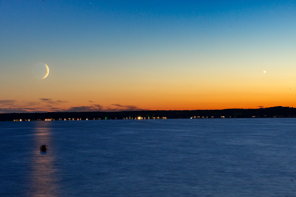
Moon & Venus Sets over Mullet Lake
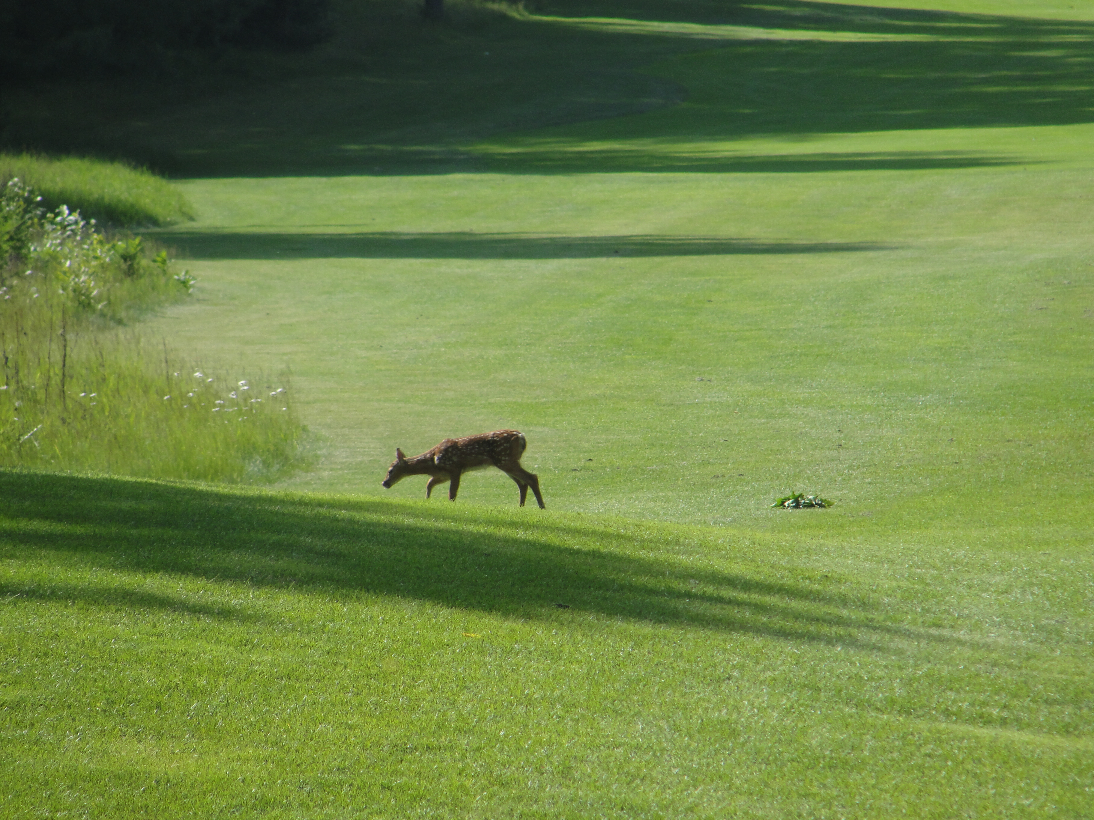
Deer on Black Lake Golf Course (5)
Black Lake Golf Course (8)
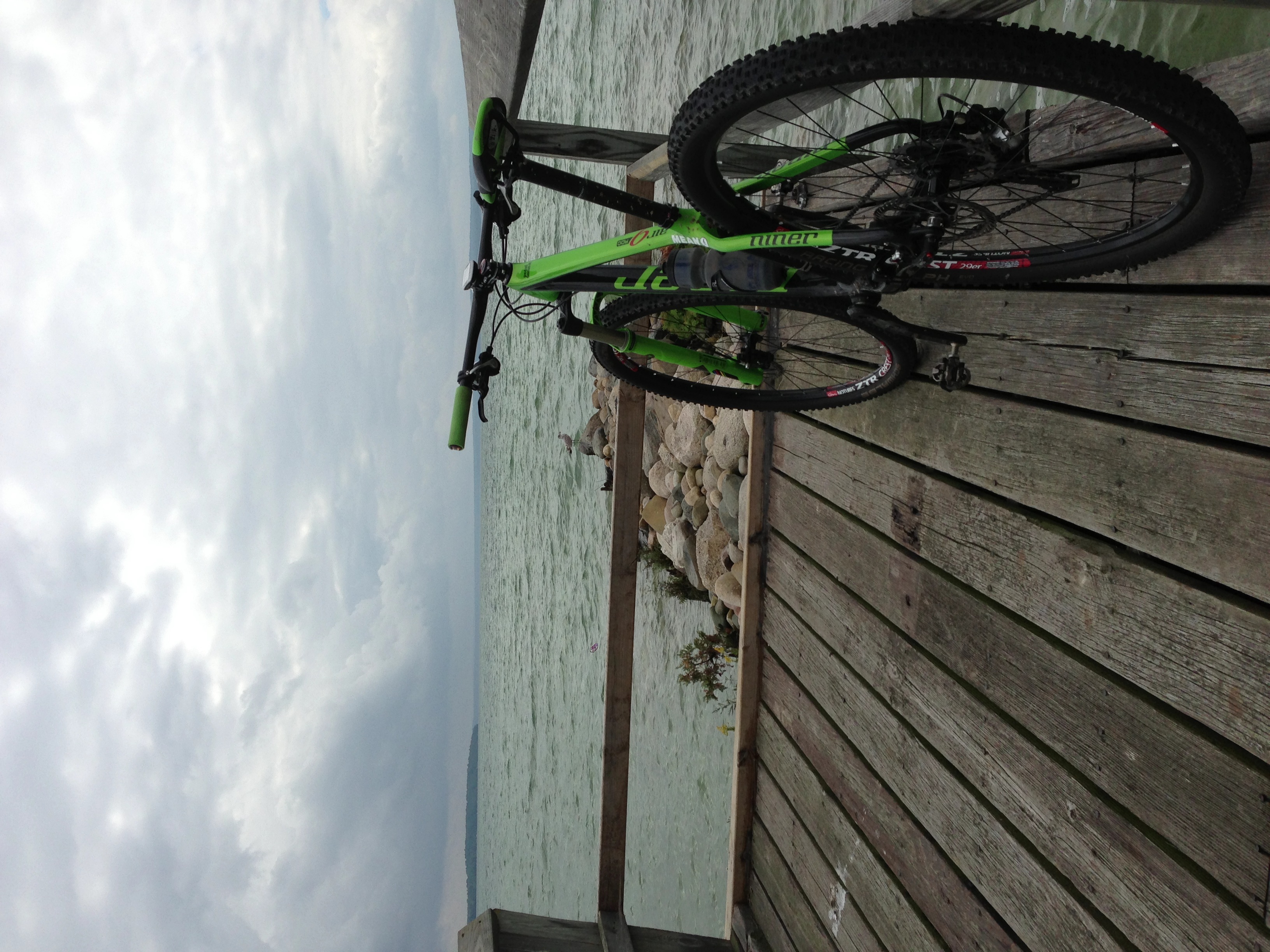
Niner Air 9 RDO
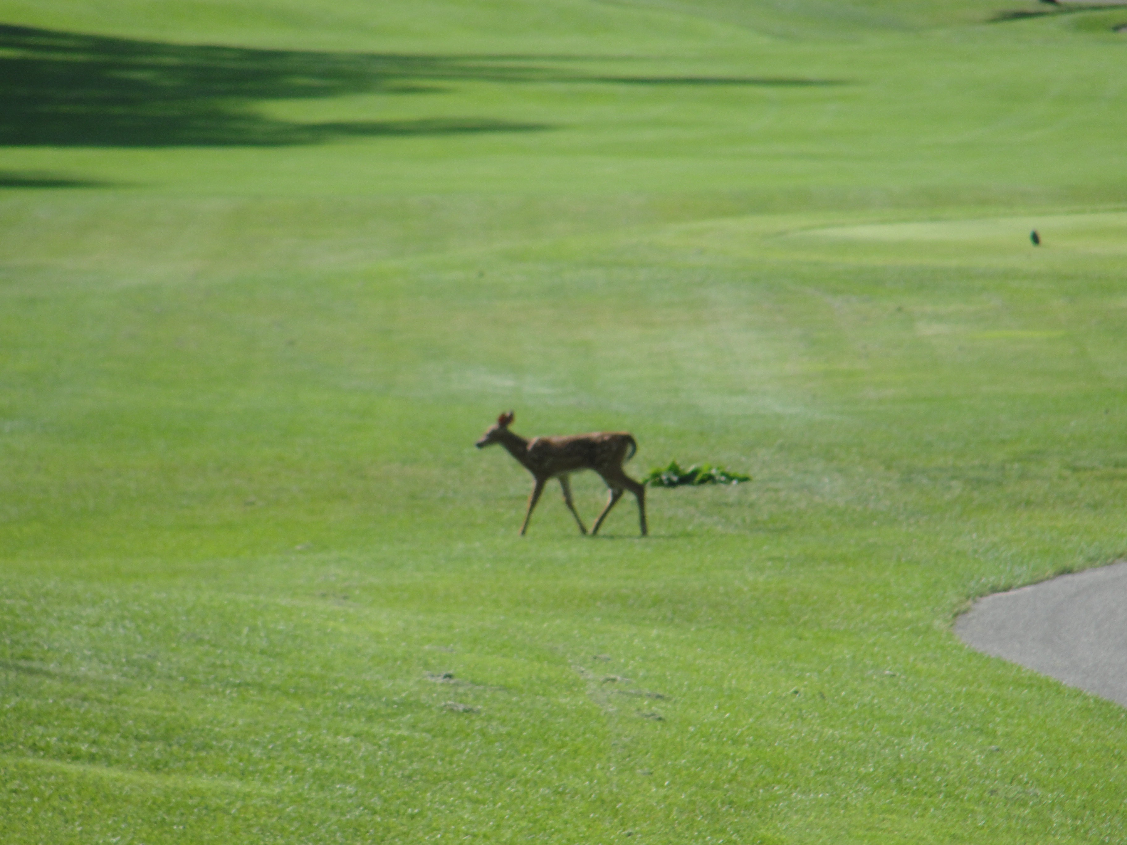
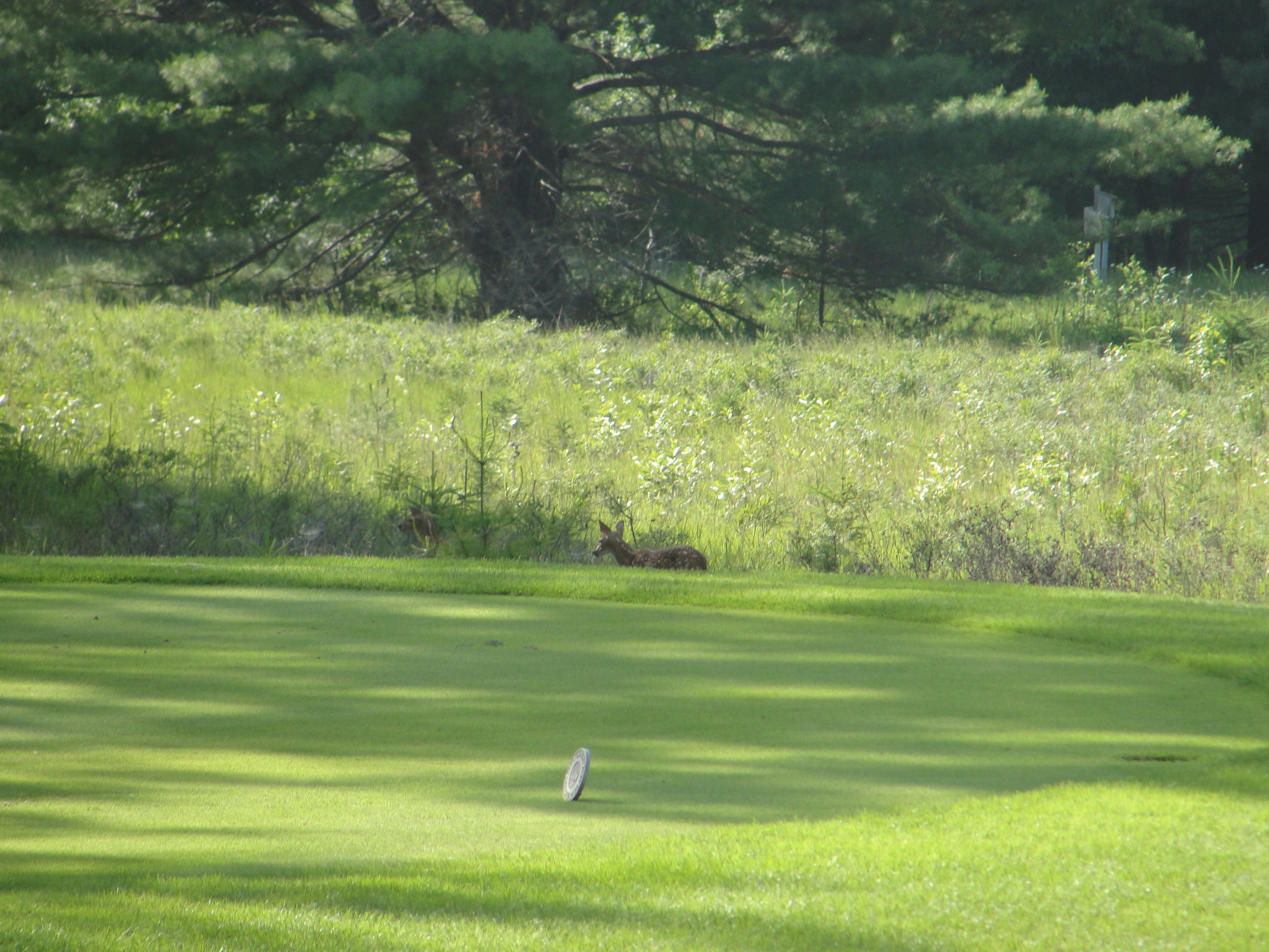
Deer on Black Lake Golf Course (6)
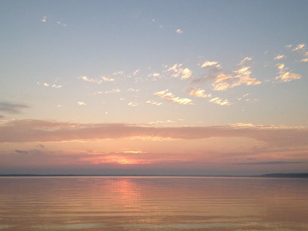
Black Lake Sunset
ML4 001

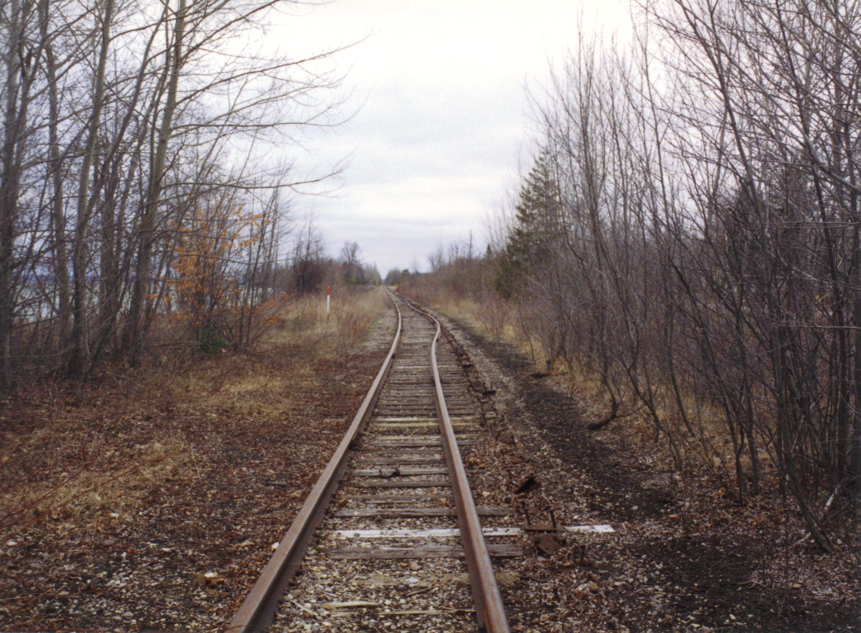
2008-10-04 0810 Inland Waterway Trip 028
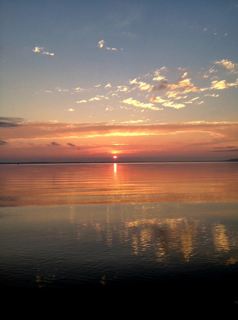
Black Lake Sunset
Black Lake, MI

20110703-DSC_0067-10
Topographic Map of Grant Township, MI, USA
Find elevation by address:

Places in Grant Township, MI, USA:
Places near Grant Township, MI, USA:
8334 Ross Rd
N Black River Rd, Cheboygan, MI, USA
4498 S River Rd
Black Lake
Silver Beach Rd, Onaway, MI, USA
10563 Huron Trail
4624 S Black River Rd
Millersburg
Main St, Millersburg, MI, USA
Case Township
North Rod And Gun Road
Montmorency County
Cedarville
Briley
Clark Township
12111 Reiman Rd
12111 Reiman Rd
12111 Reiman Rd
10875 River Dr
Atlanta
Recent Searches:
- Elevation of Corso Fratelli Cairoli, 35, Macerata MC, Italy
- Elevation of Tallevast Rd, Sarasota, FL, USA
- Elevation of 4th St E, Sonoma, CA, USA
- Elevation of Black Hollow Rd, Pennsdale, PA, USA
- Elevation of Oakland Ave, Williamsport, PA, USA
- Elevation of Pedrógão Grande, Portugal
- Elevation of Klee Dr, Martinsburg, WV, USA
- Elevation of Via Roma, Pieranica CR, Italy
- Elevation of Tavkvetili Mountain, Georgia
- Elevation of Hartfords Bluff Cir, Mt Pleasant, SC, USA