Elevation of Montmorency County, MI, USA
Location: United States > Michigan >
Longitude: -84.140314
Latitude: 45.0742794
Elevation: 309m / 1014feet
Barometric Pressure: 98KPa
Elevation Map:
Satellite Map:
Related Photos:
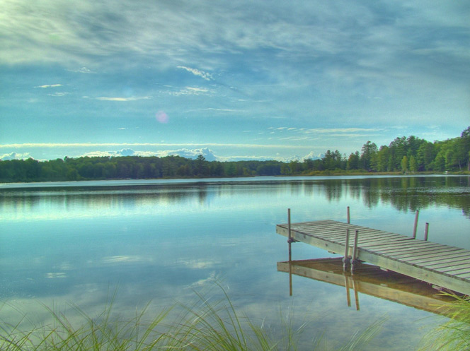
Canada Creek Ranch Lake #1
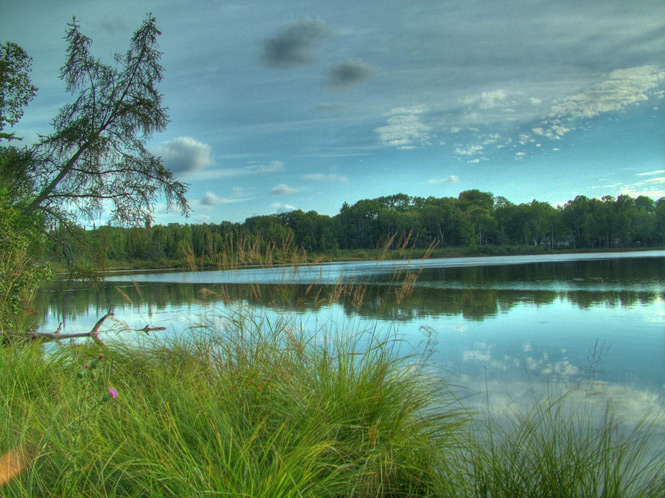
Canada Creek Ranch Lake #2
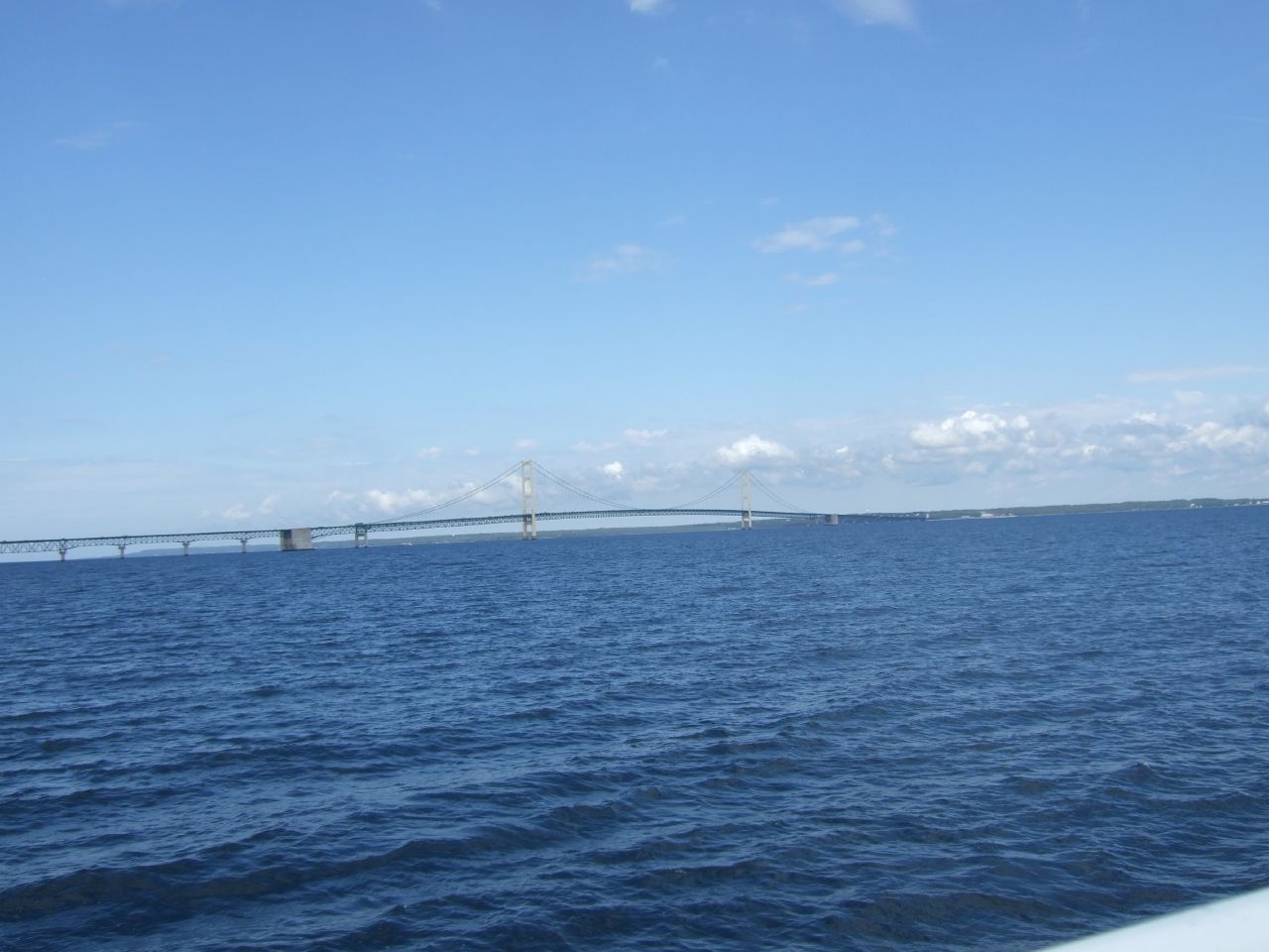
mackinac island bridge
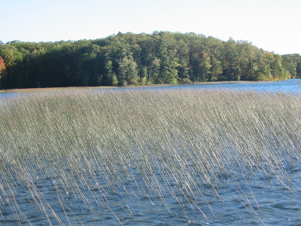
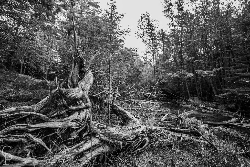
2004-10-02 Avery Lake

2004-10-02 Avery Lake
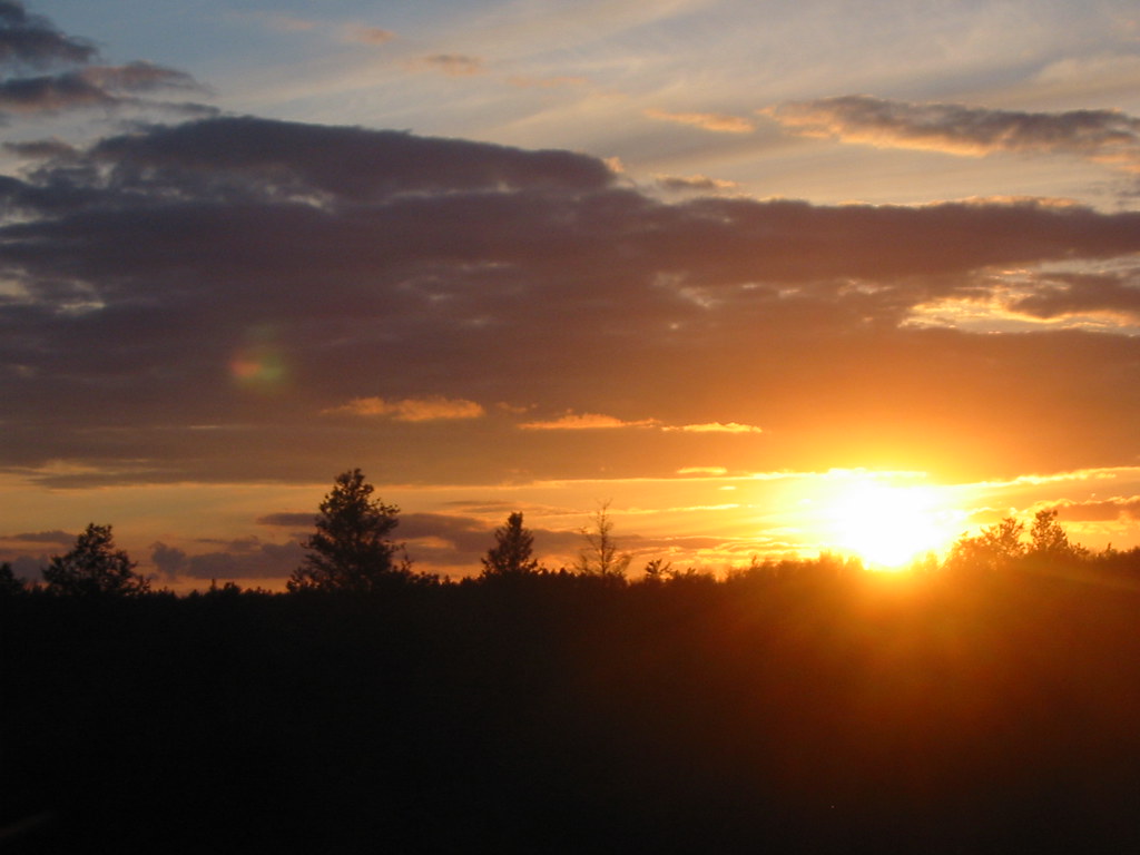
2005-05-27 Ess Lake Sunset

Pretty. And icy.

Anything Goes
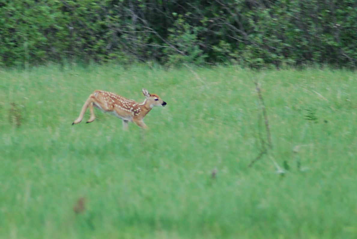
Wildlife Deer Fawn

Into the light...
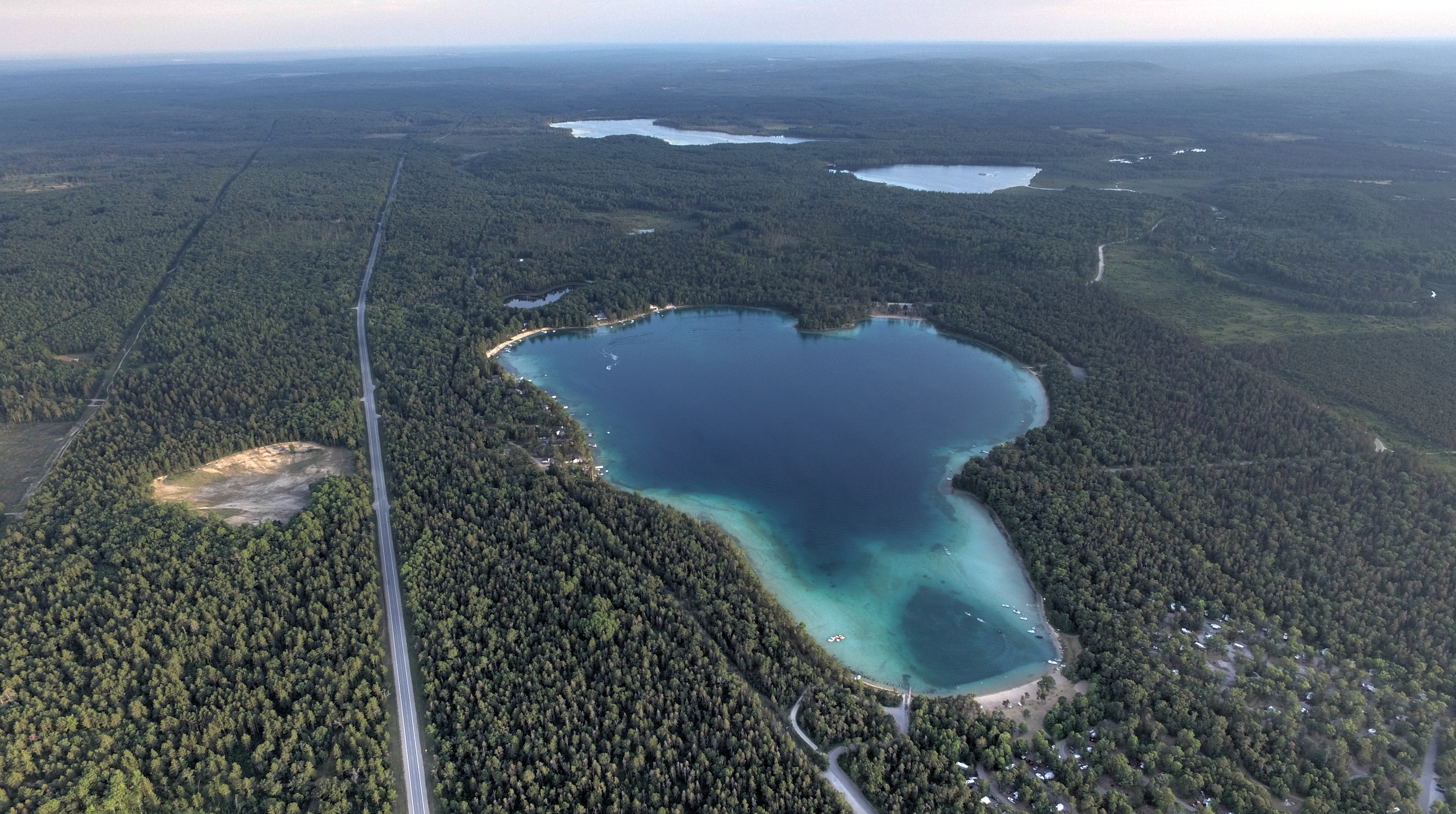
Clear Lake Clear Day

Clear Lake Sunset
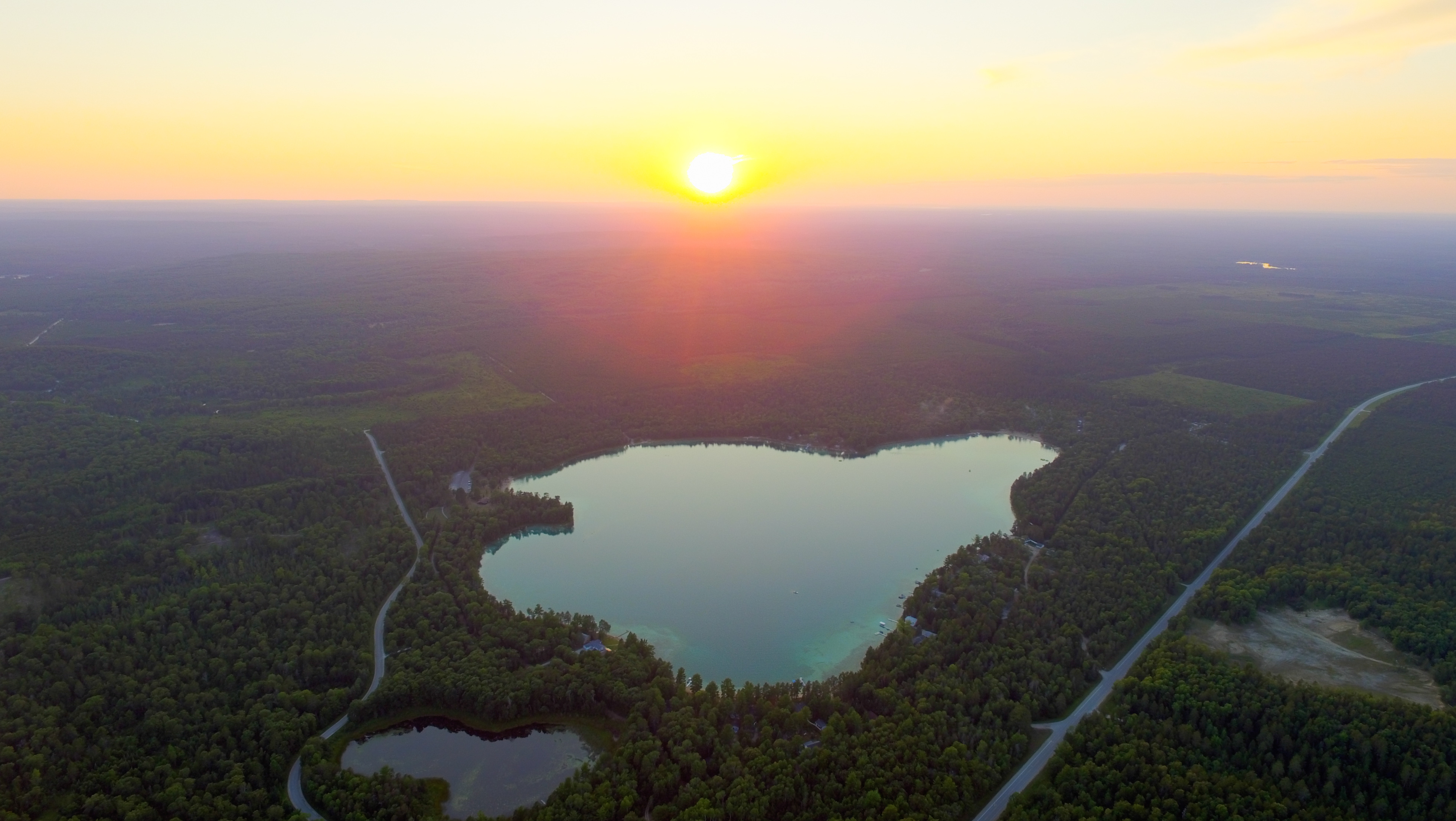
Clear Lake Sunset 20150726
We Call Home

Thank you Ashley for your kind words. #weddingreview #testimonials #reviews

Clear Lake Clear Day
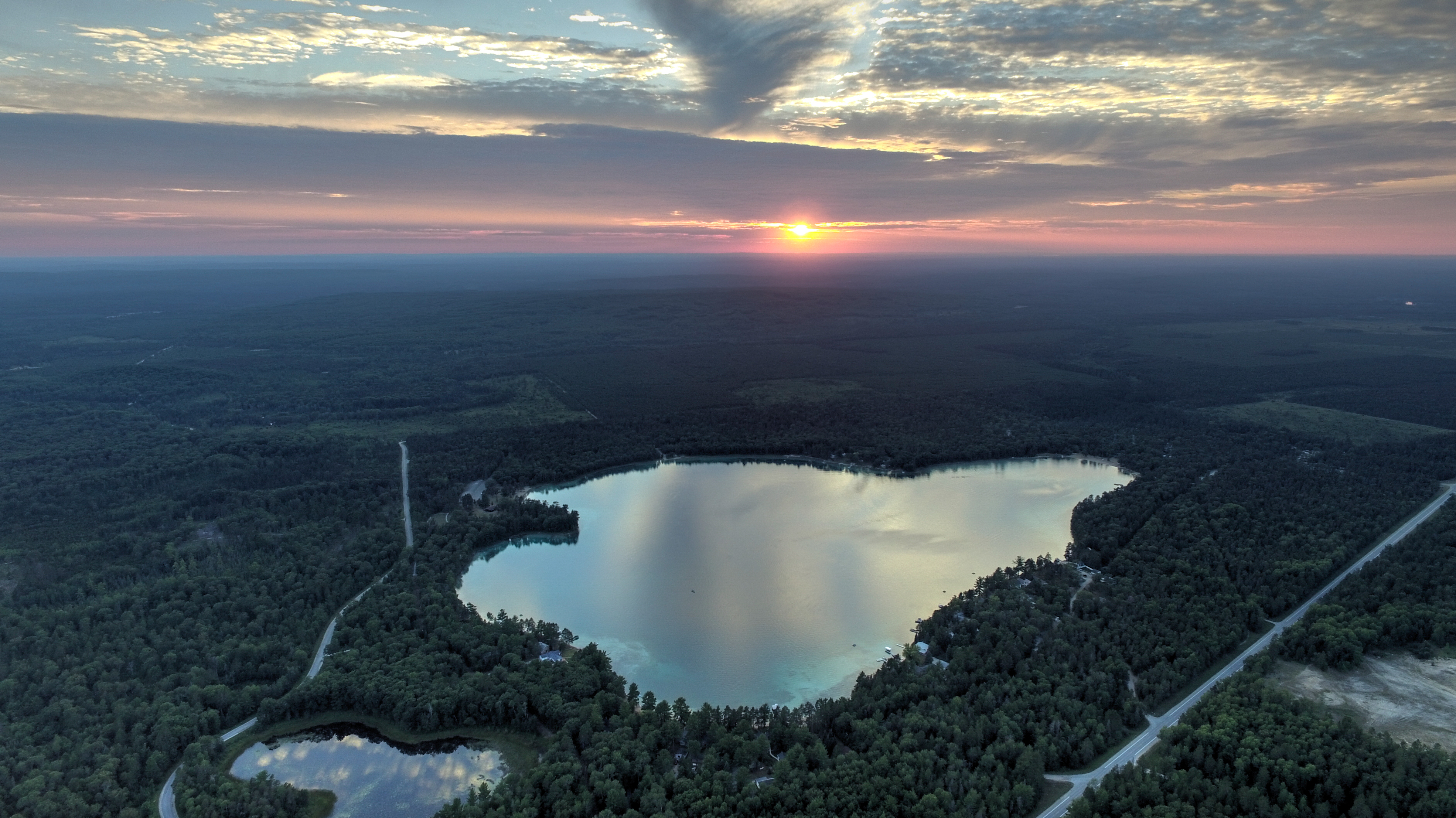
Clear Lake Sunset
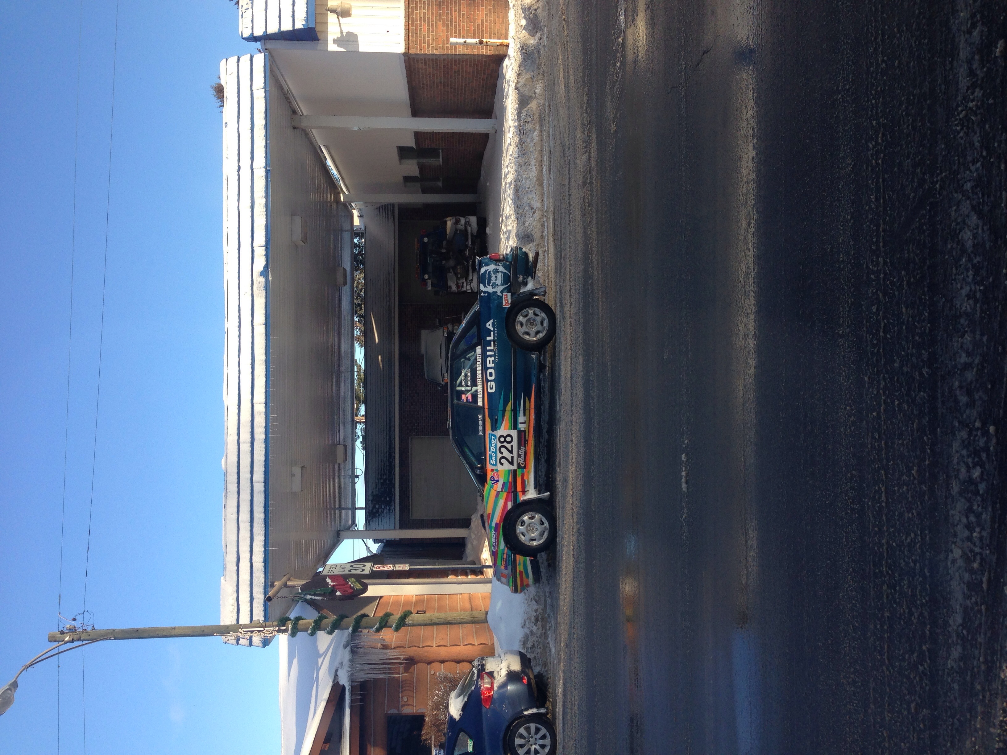
Sno*Drift

Sno*Drift
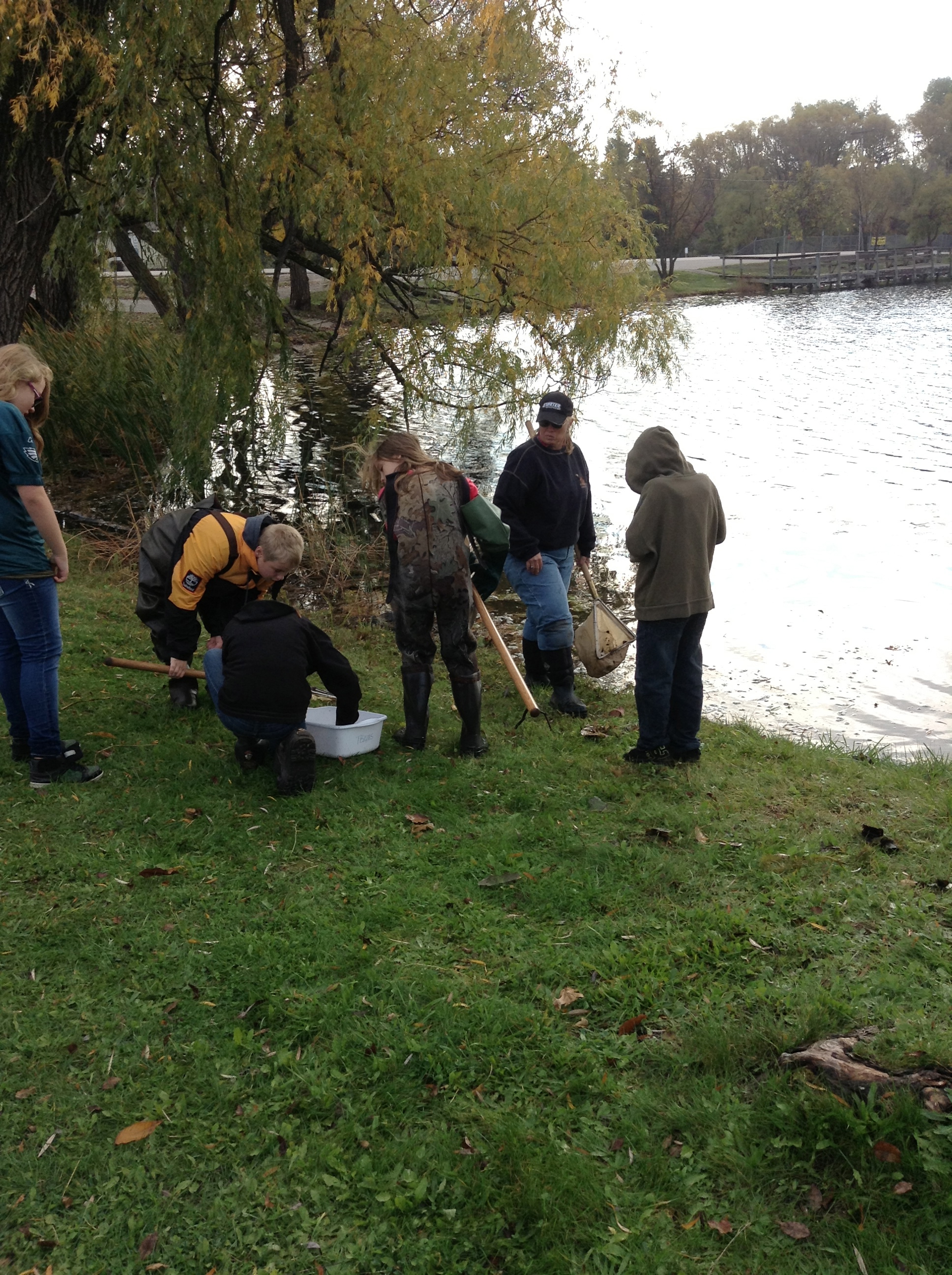
Rusty Crayfish collected by Atlanta Middle School 10.2013

Rusty Crayfish collected by Atlanta Middle Schools 10.2013
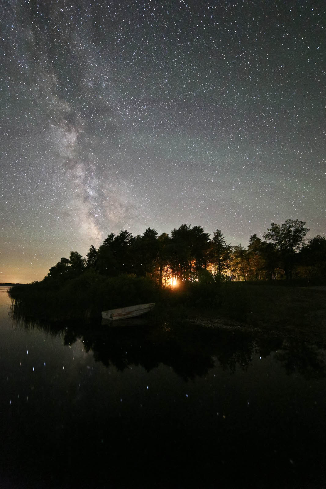
IMG_4547.jpg
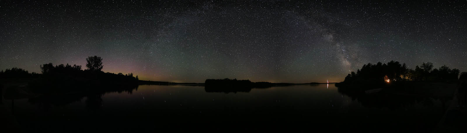
IMG_4510_stitch.jpg
Topographic Map of Montmorency County, MI, USA
Find elevation by address:

Places in Montmorency County, MI, USA:
Places near Montmorency County, MI, USA:
North Rod And Gun Road
Briley
12111 Reiman Rd
12111 Reiman Rd
12111 Reiman Rd
Atlanta
10875 River Dr
Hillman Township
18343 Valerie Dr
Case Township
Hillman
Main St, Millersburg, MI, USA
Millersburg
4624 S Black River Rd
Silver Beach Rd, Onaway, MI, USA
Black Lake
4210 M-65
Lachine
Long Rapids Township
4649 Bean Creek Rd
Recent Searches:
- Elevation of Rojo Ct, Atascadero, CA, USA
- Elevation of Flagstaff Drive, Flagstaff Dr, North Carolina, USA
- Elevation of Avery Ln, Lakeland, FL, USA
- Elevation of Woolwine, VA, USA
- Elevation of Lumagwas Diversified Farmers Multi-Purpose Cooperative, Lumagwas, Adtuyon, RV32+MH7, Pangantucan, Bukidnon, Philippines
- Elevation of Homestead Ridge, New Braunfels, TX, USA
- Elevation of Orchard Road, Orchard Rd, Marlborough, NY, USA
- Elevation of 12 Hutchinson Woods Dr, Fletcher, NC, USA
- Elevation of Holloway Ave, San Francisco, CA, USA
- Elevation of Norfolk, NY, USA