Elevation of North Pine, BC V0C 2A0, Canada
Location: Canada > British Columbia > Peace River >
Longitude: -120.76836
Latitude: 56.420944
Elevation: 701m / 2300feet
Barometric Pressure: 93KPa
Elevation Map:
Satellite Map:
Related Photos:
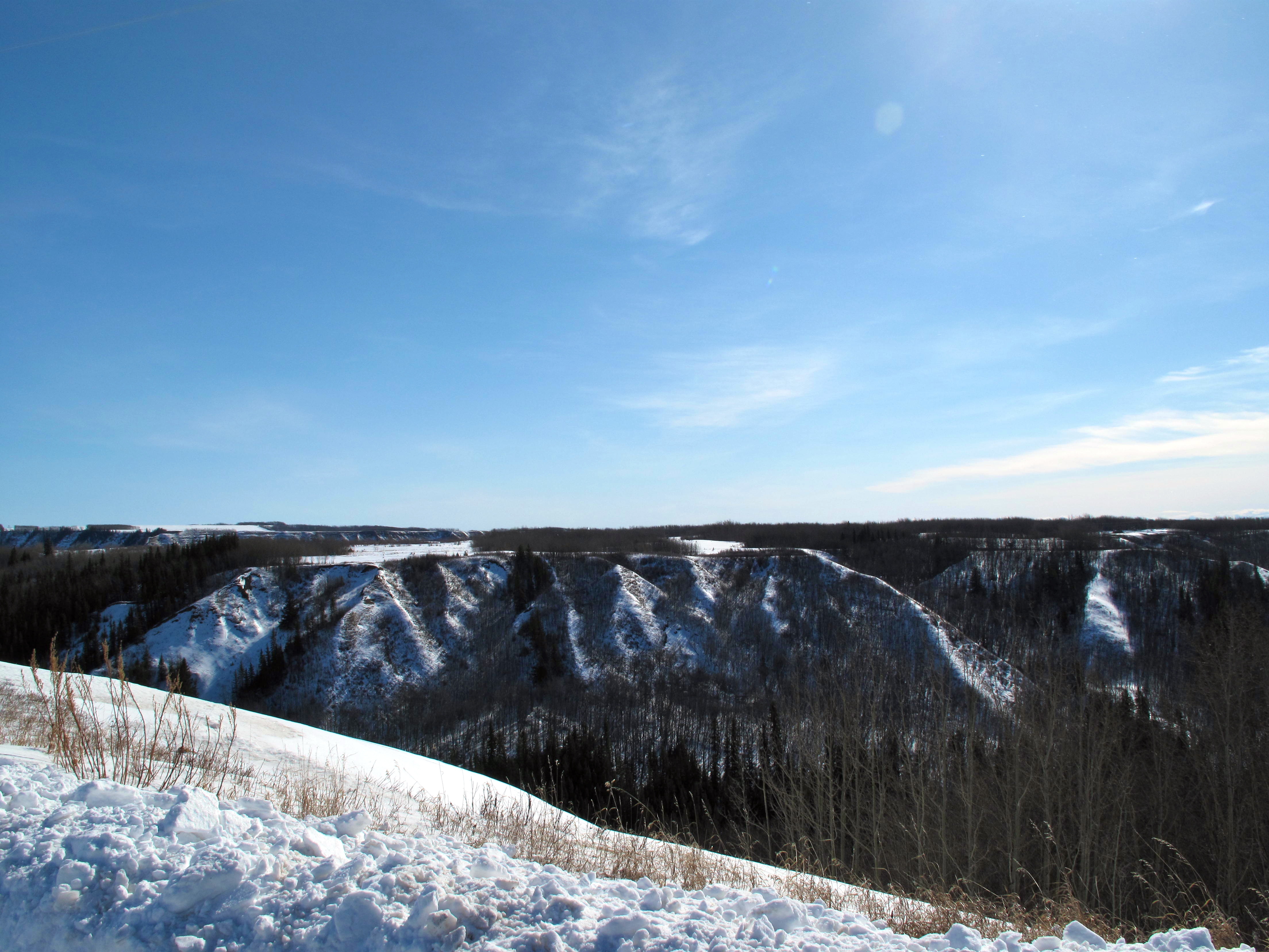
Coulee View

Song Sparrow (I think)
Guess where I am. #yxj
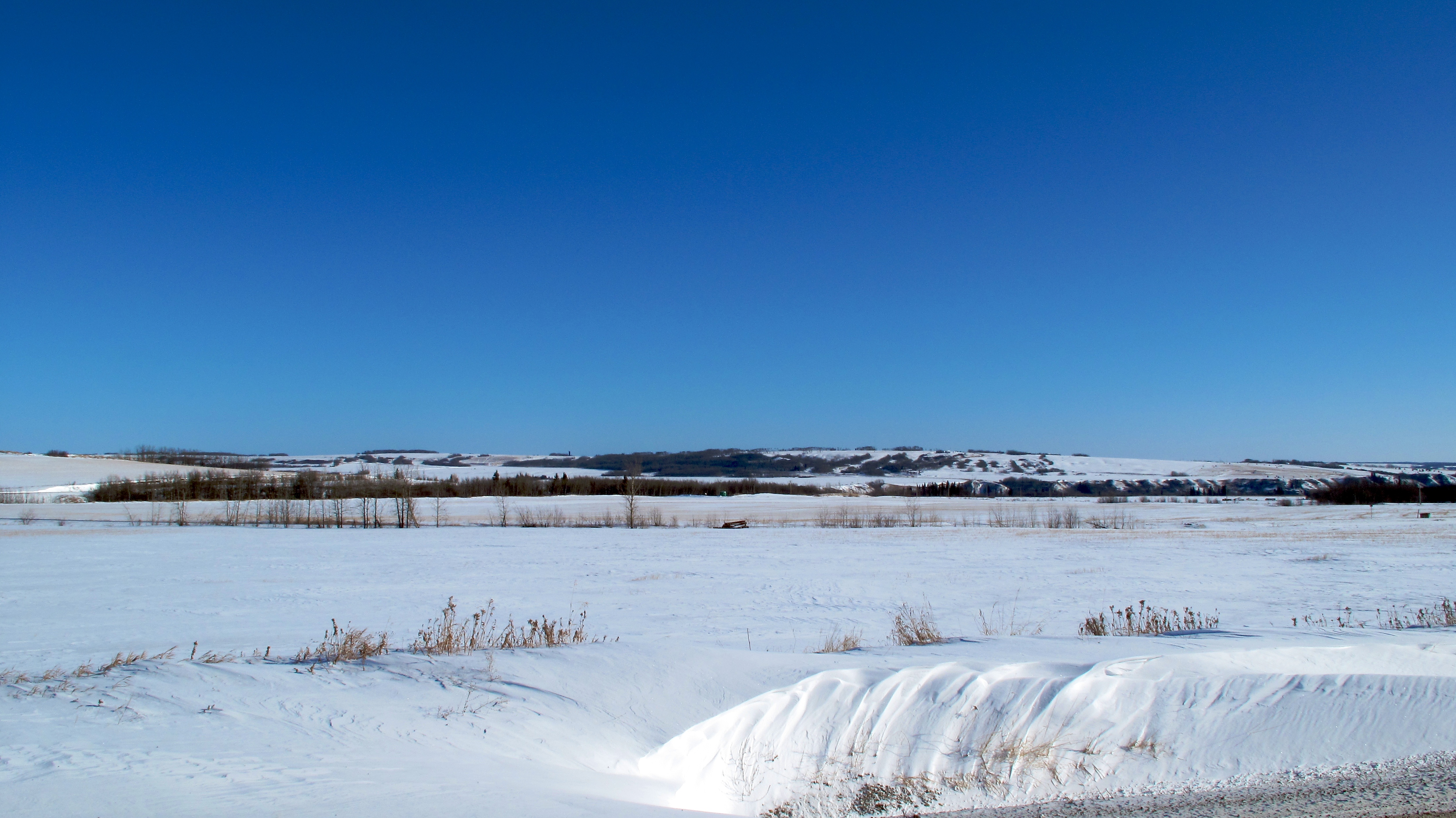
Looking Towards North Pine
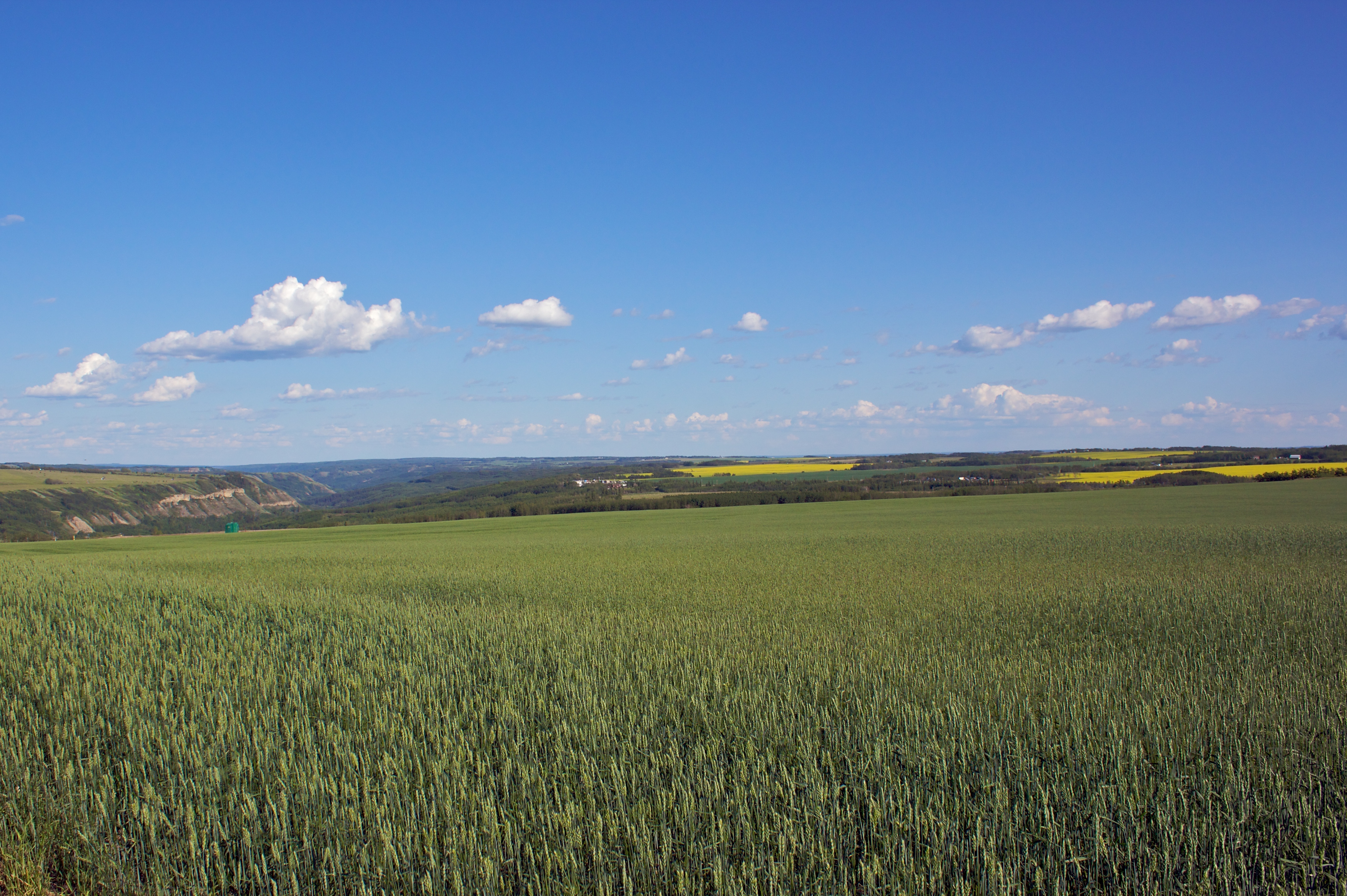
Crops in the Field
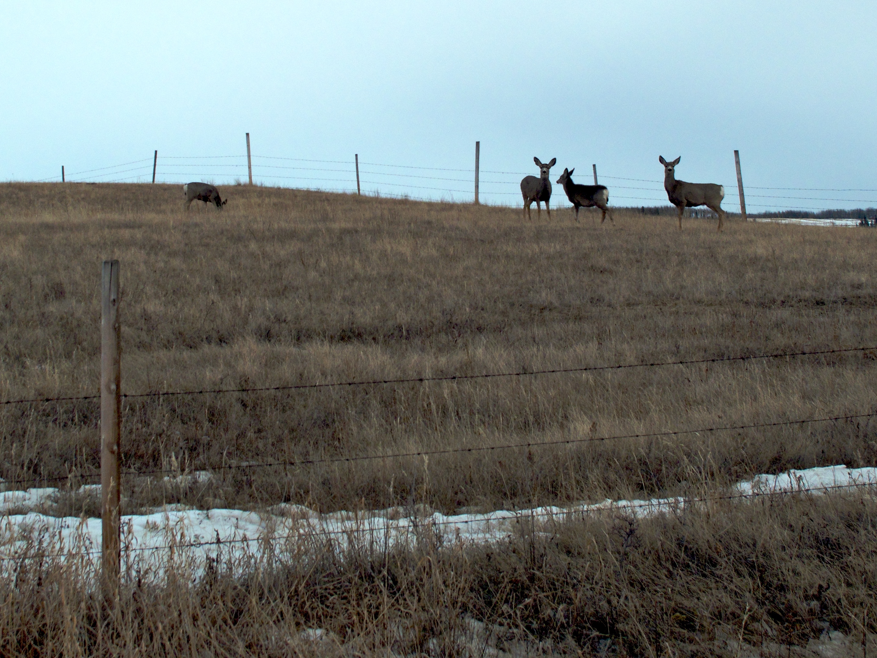
Melting Snow Invites Mule Deer
Fort St. John, 17-Jan-09
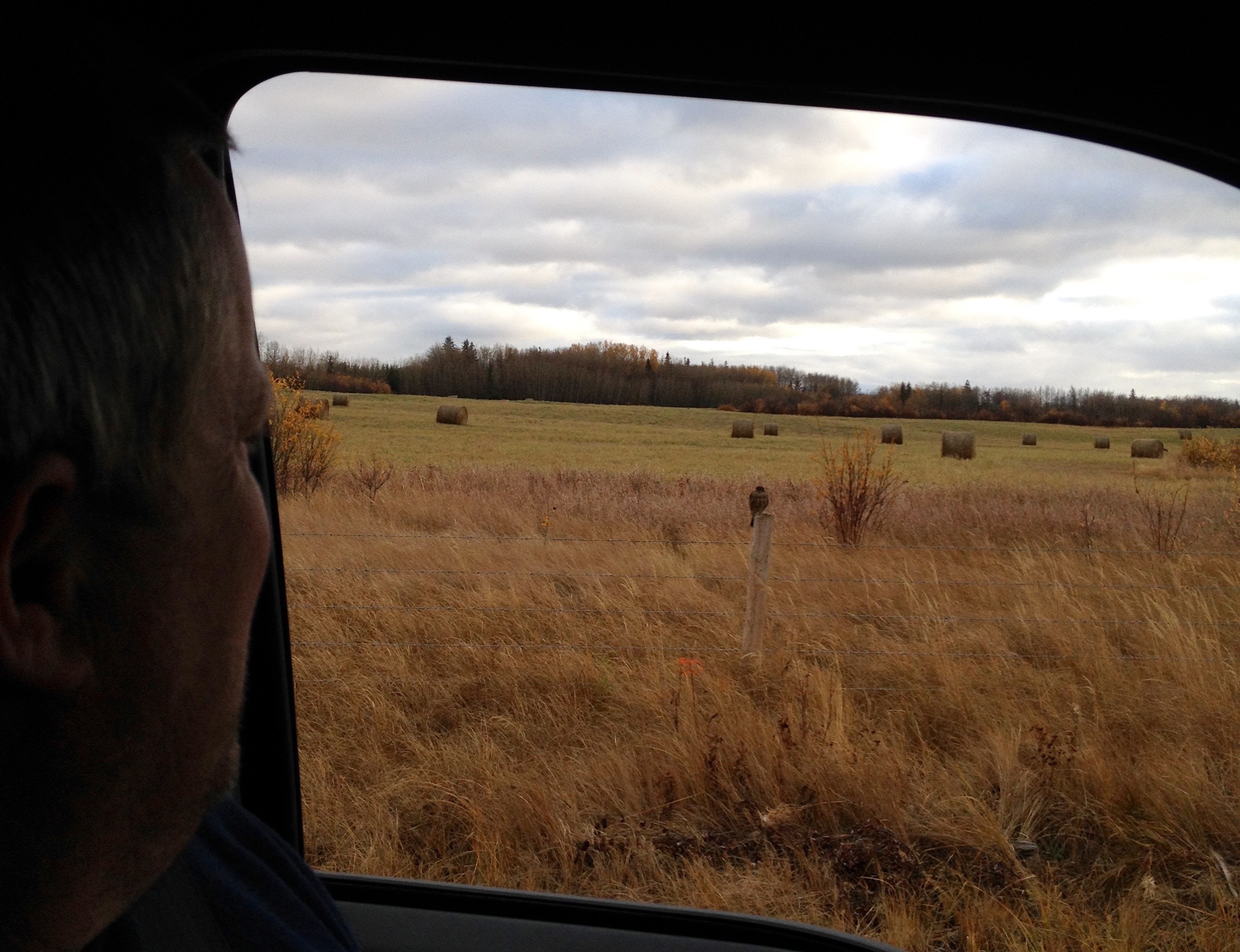
Through the Window

Crops in the Field
Valley Vista Tree Farm
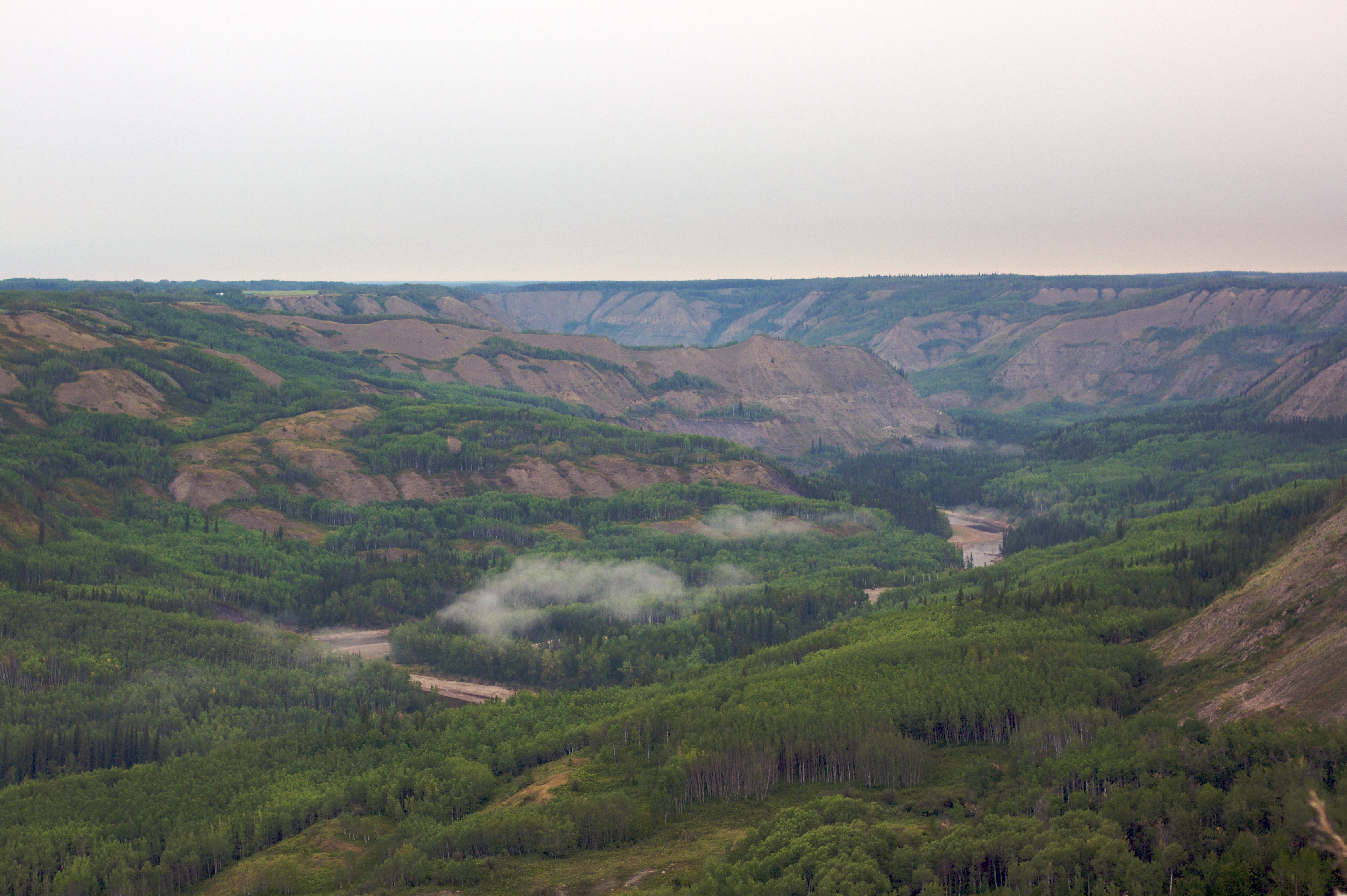
Beaton River Valley
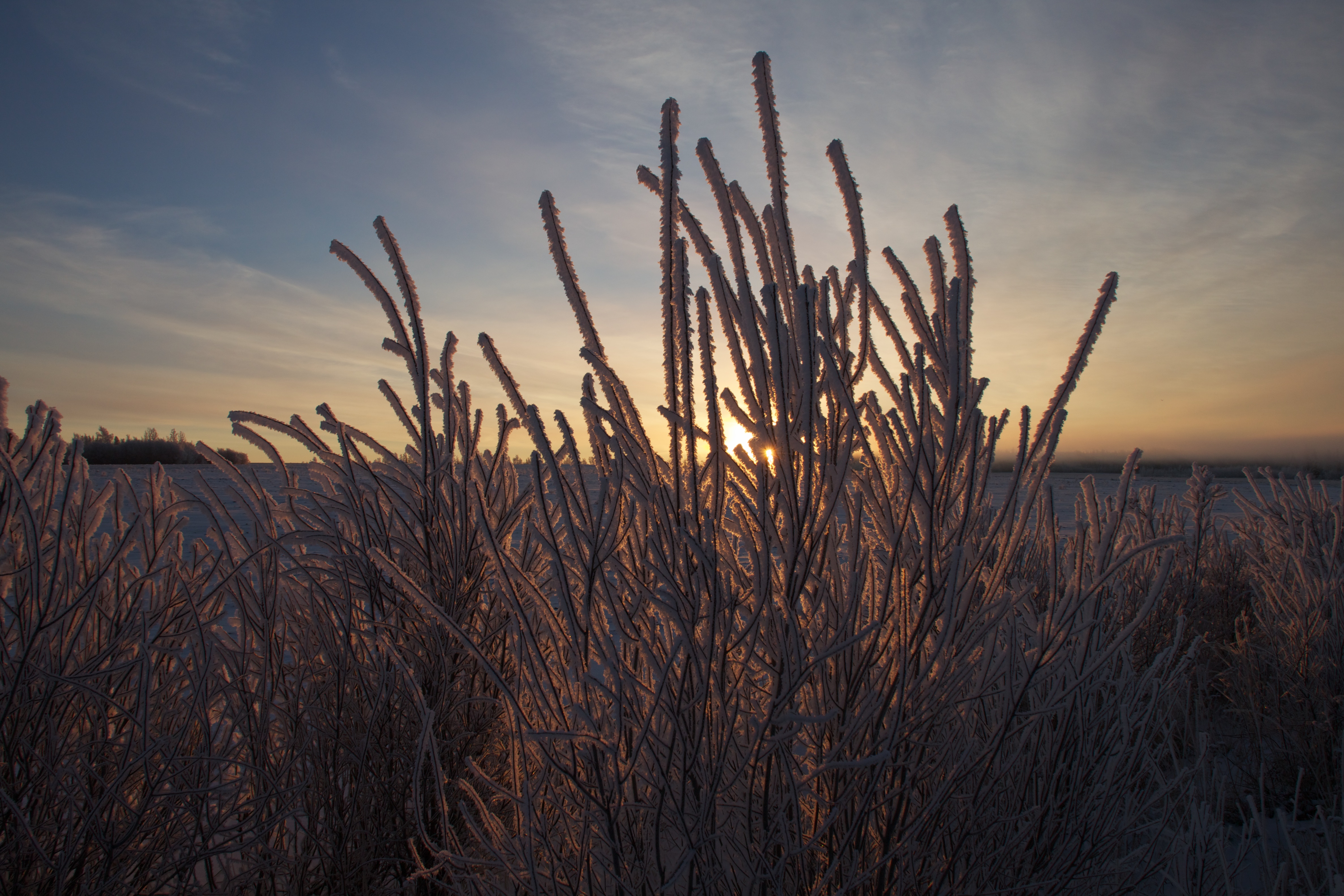
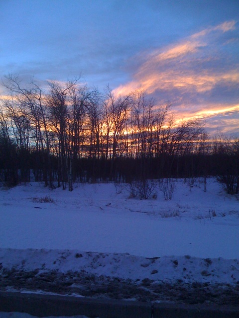
Sunrise and Hoar Frost
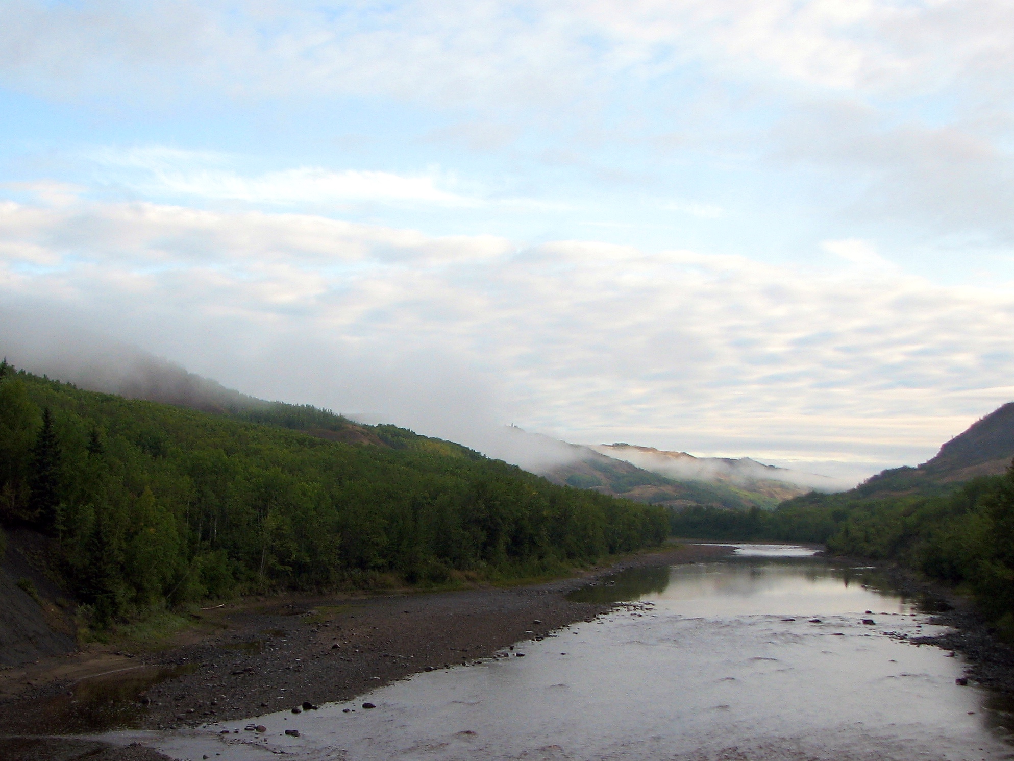
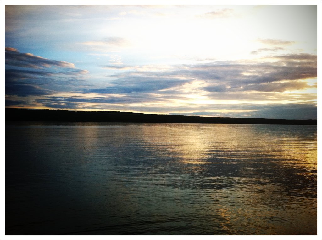
Fog Lifting from the Beaton River
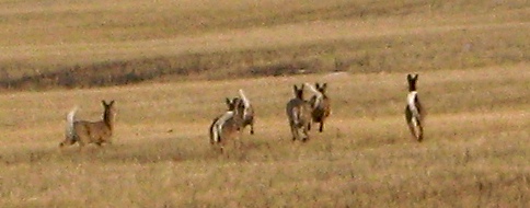
White-Tailed Deer on the Run
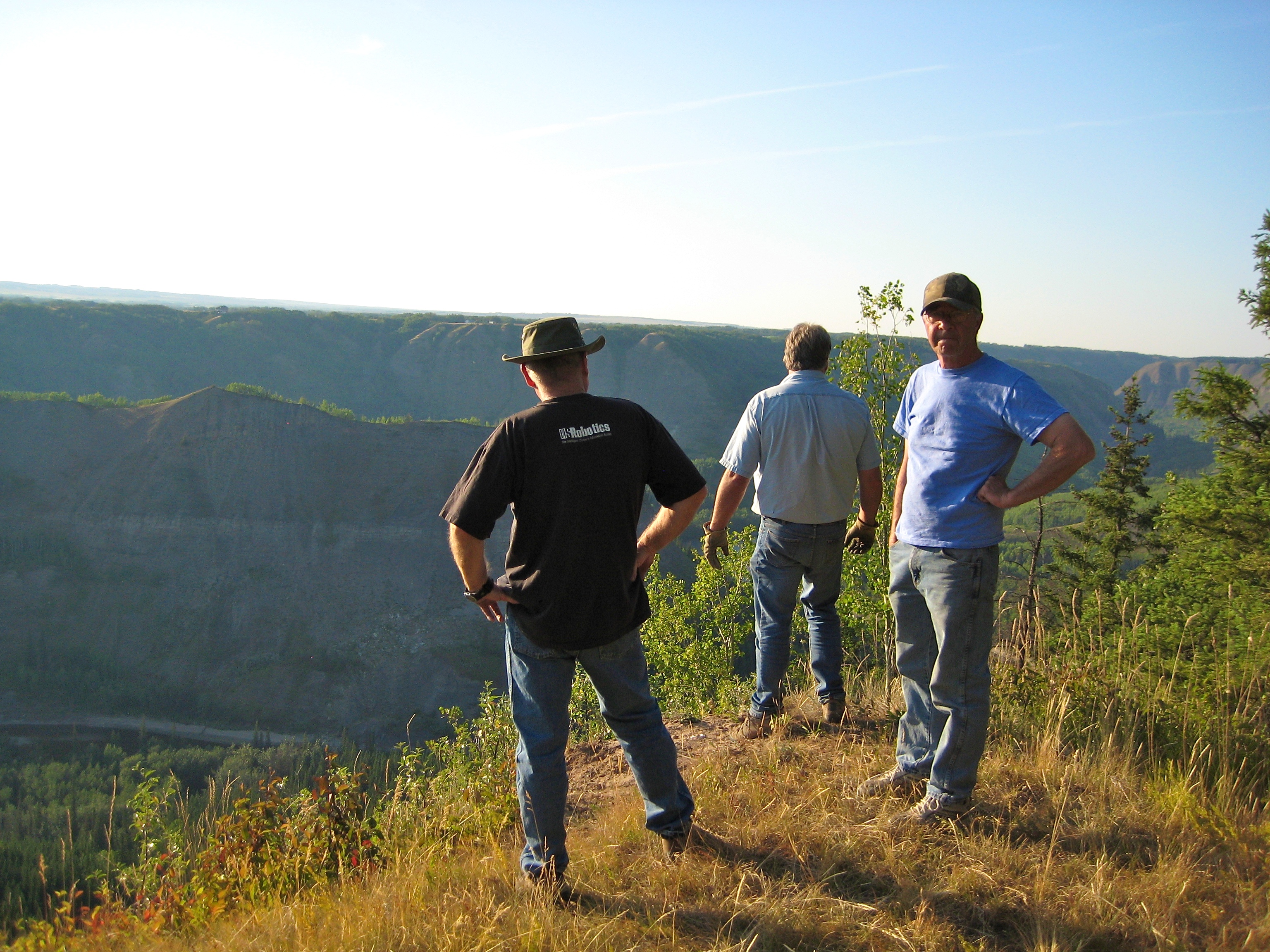
Beaton River Lookout

Peas Anyone?
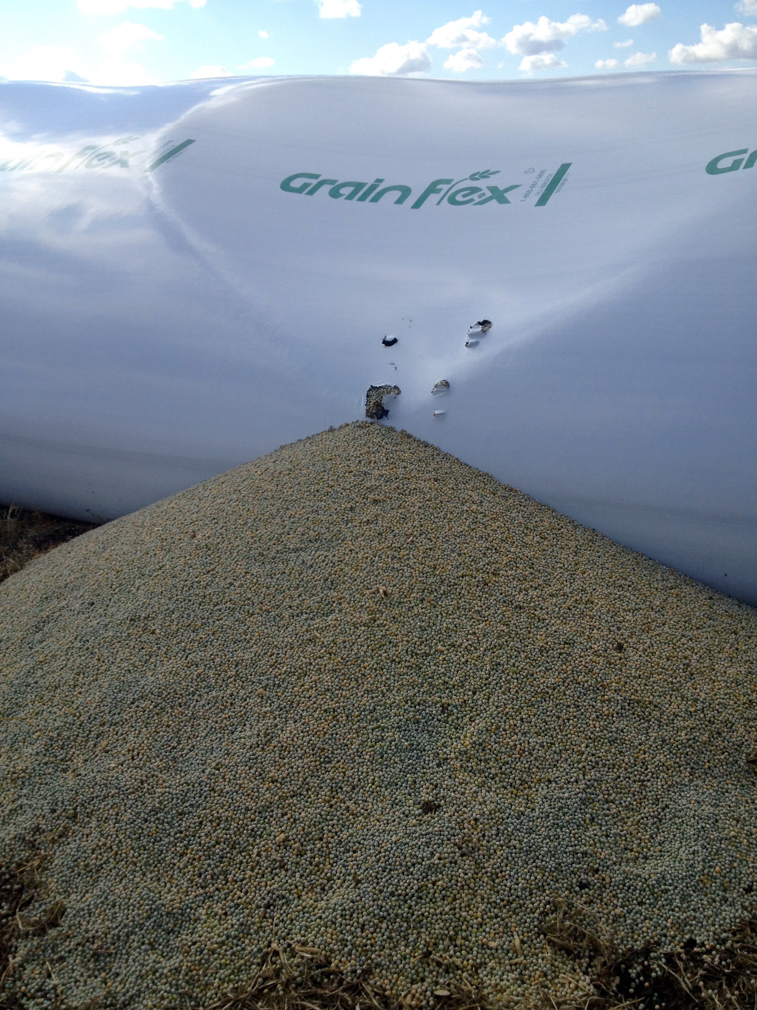
Peas Anyone?
Topographic Map of North Pine, BC V0C 2A0, Canada
Find elevation by address:

Places near North Pine, BC V0C 2A0, Canada:
9416 114 Ave
Fort Saint John
10662 106 St
10662 106 St
10662 106 St
10662 106 Ave
Clairmont
Cecil Lake
Recent Searches:
- Elevation of 6 Rue Jules Ferry, Beausoleil, France
- Elevation of Sattva Horizon, 4JC6+G9P, Vinayak Nagar, Kattigenahalli, Bengaluru, Karnataka, India
- Elevation of Great Brook Sports, Gold Star Hwy, Groton, CT, USA
- Elevation of 10 Mountain Laurels Dr, Nashua, NH, USA
- Elevation of 16 Gilboa Ln, Nashua, NH, USA
- Elevation of Laurel Rd, Townsend, TN, USA
- Elevation of 3 Nestling Wood Dr, Long Valley, NJ, USA
- Elevation of Ilungu, Tanzania
- Elevation of Yellow Springs Road, Yellow Springs Rd, Chester Springs, PA, USA
- Elevation of Rēzekne Municipality, Latvia