Elevation of Cecil Lake, BC V0C 1G0, Canada
Location: Canada > British Columbia > Peace River > Peace River B >
Longitude: -120.57525
Latitude: 56.304706
Elevation: 703m / 2306feet
Barometric Pressure: 93KPa
Elevation Map:
Satellite Map:
Related Photos:
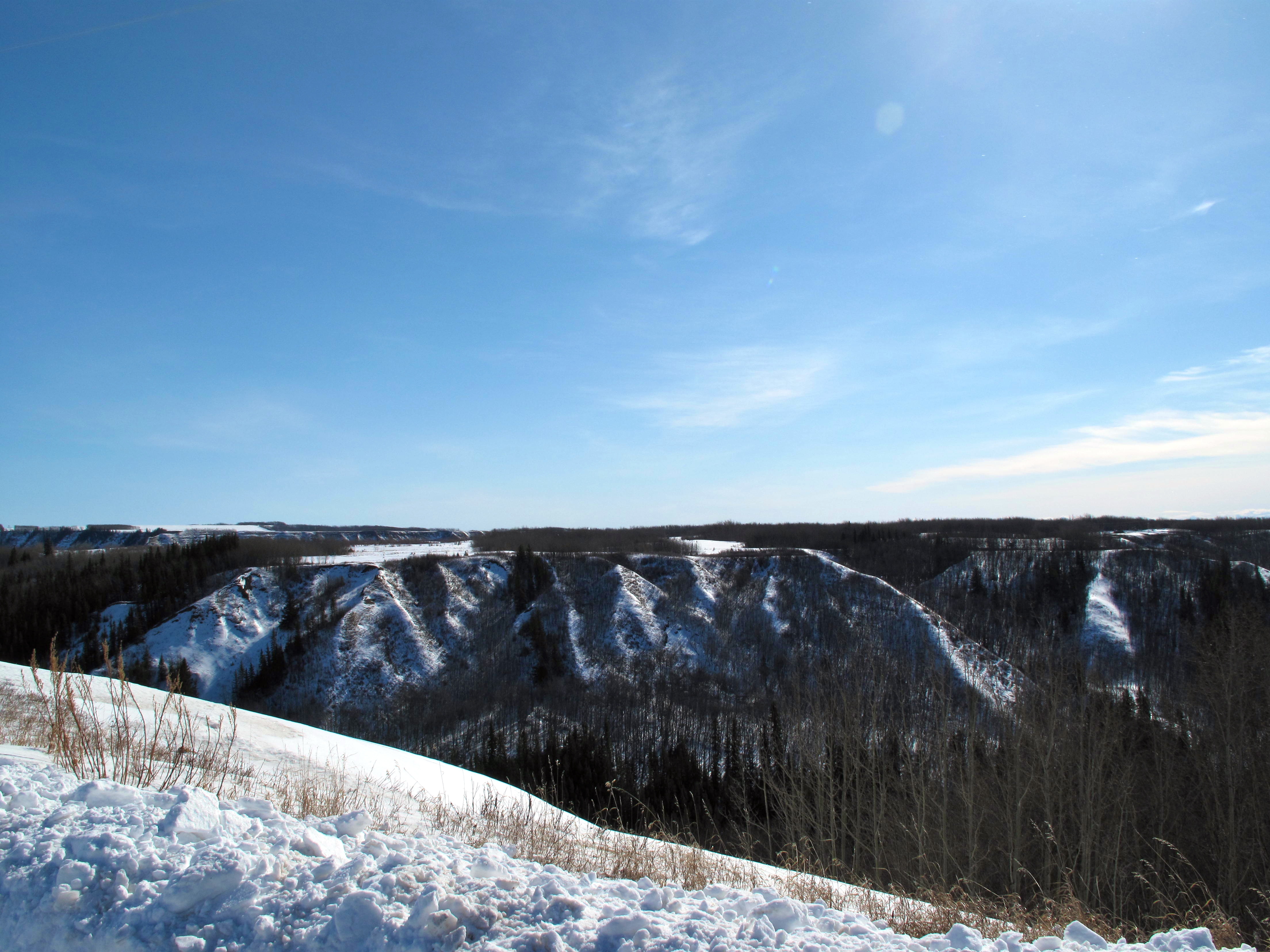
Coulee View
Several Shade of Grey
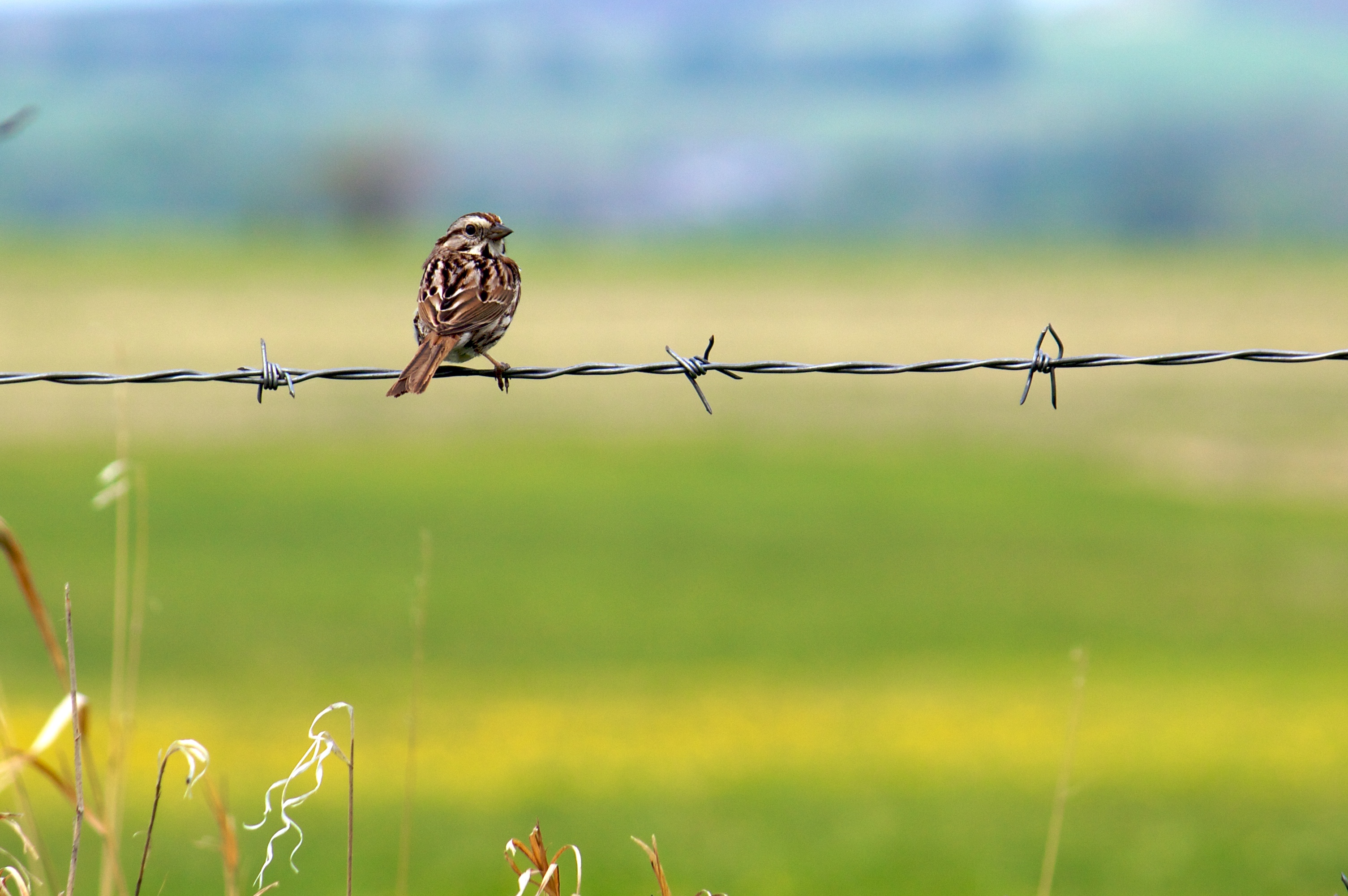
Song Sparrow (I think)
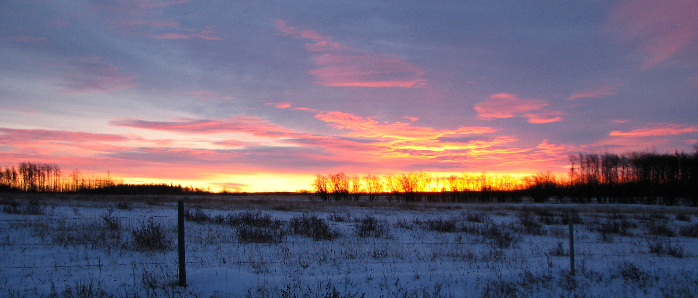
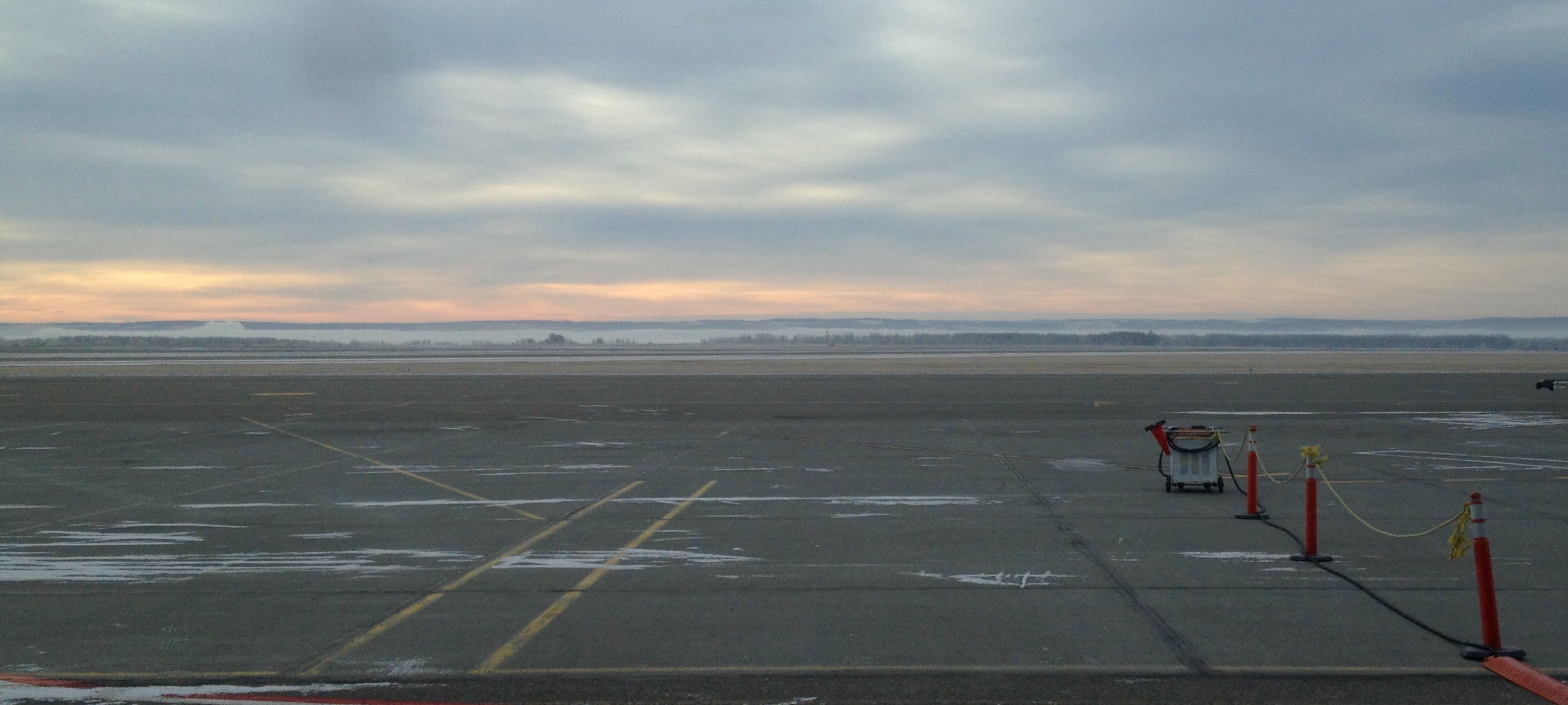
November Sunrise
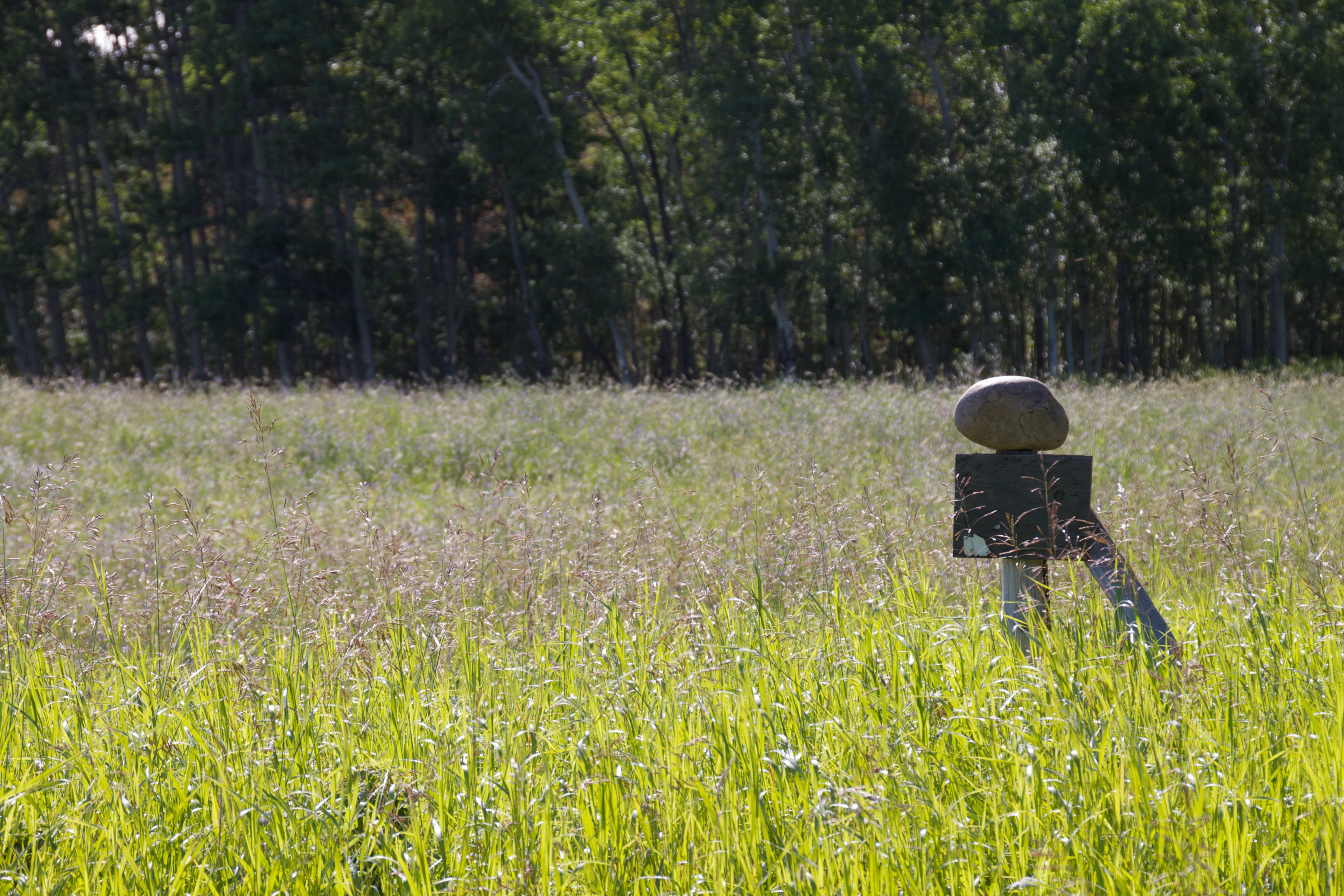
Balancing Act
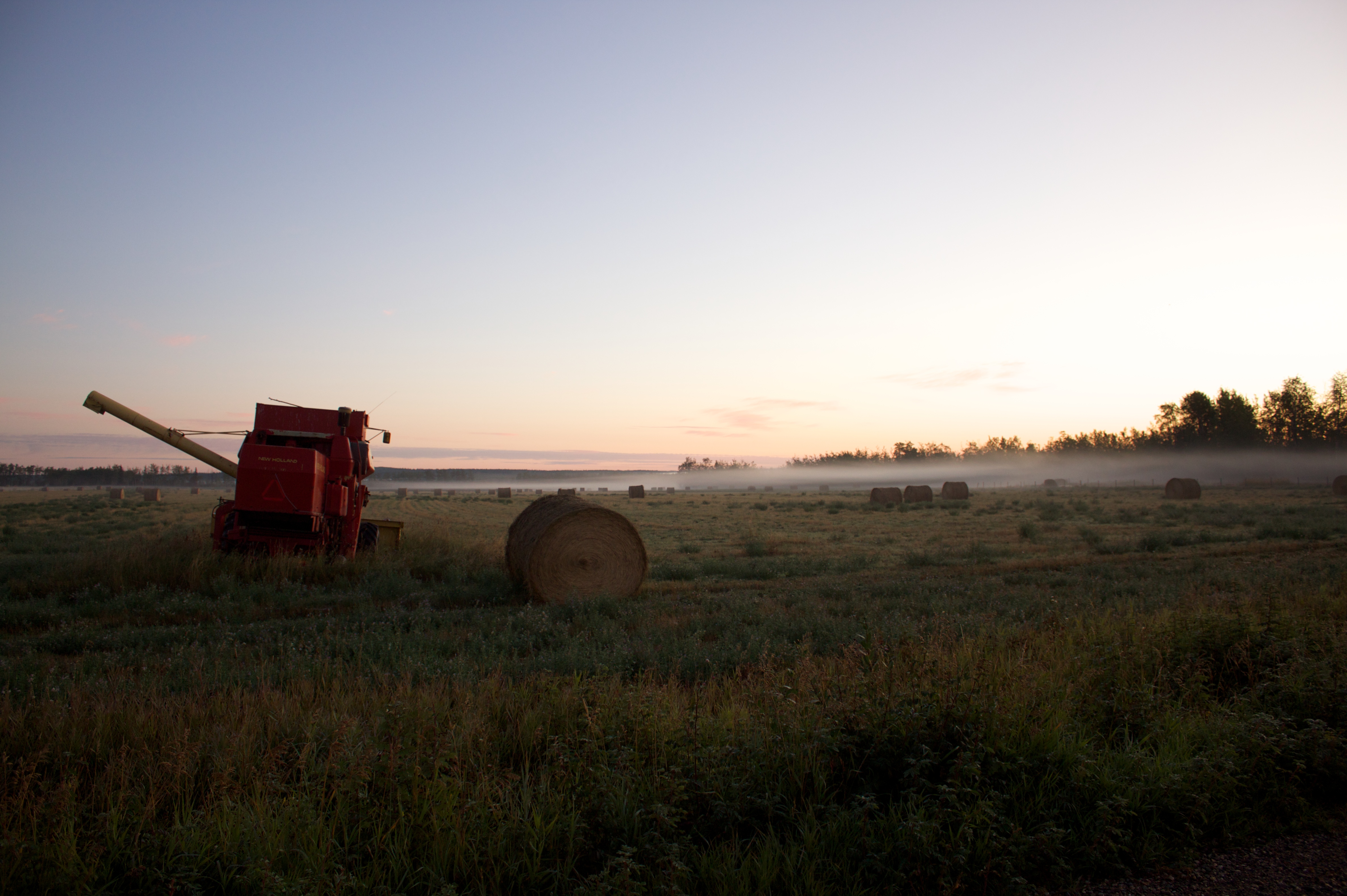
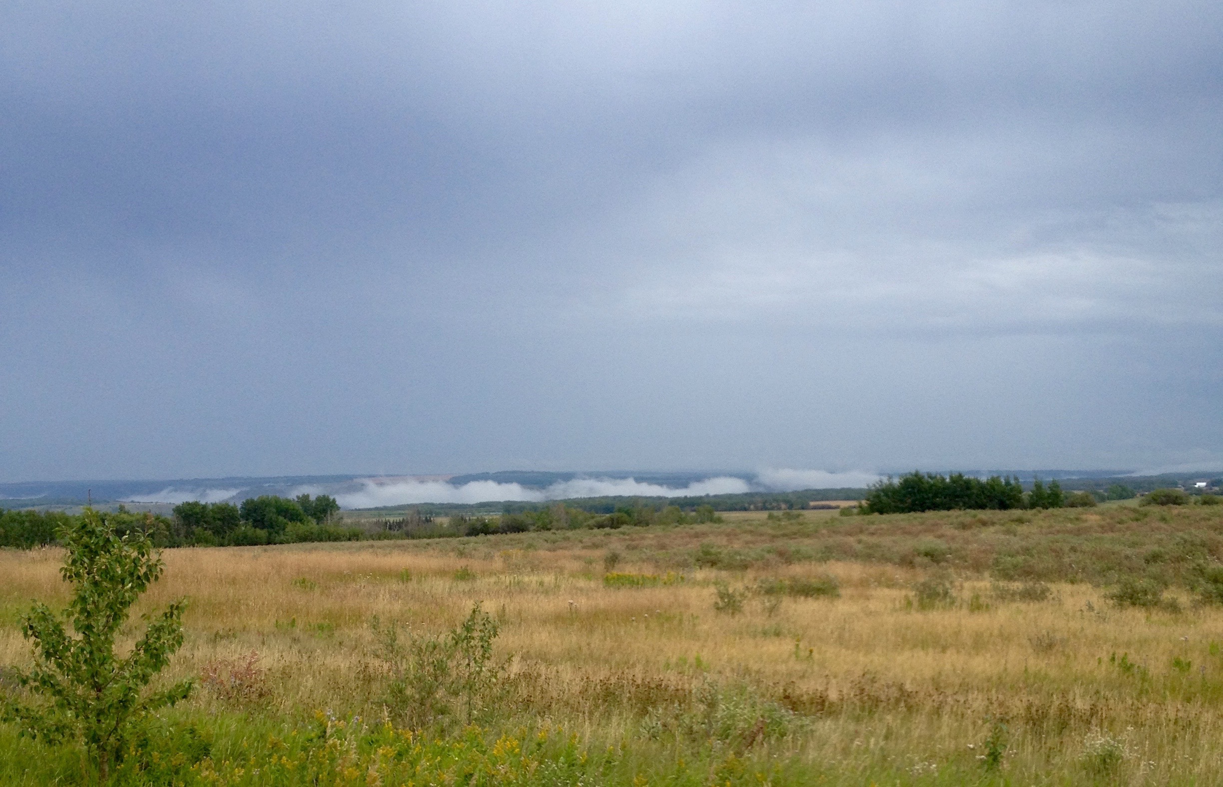
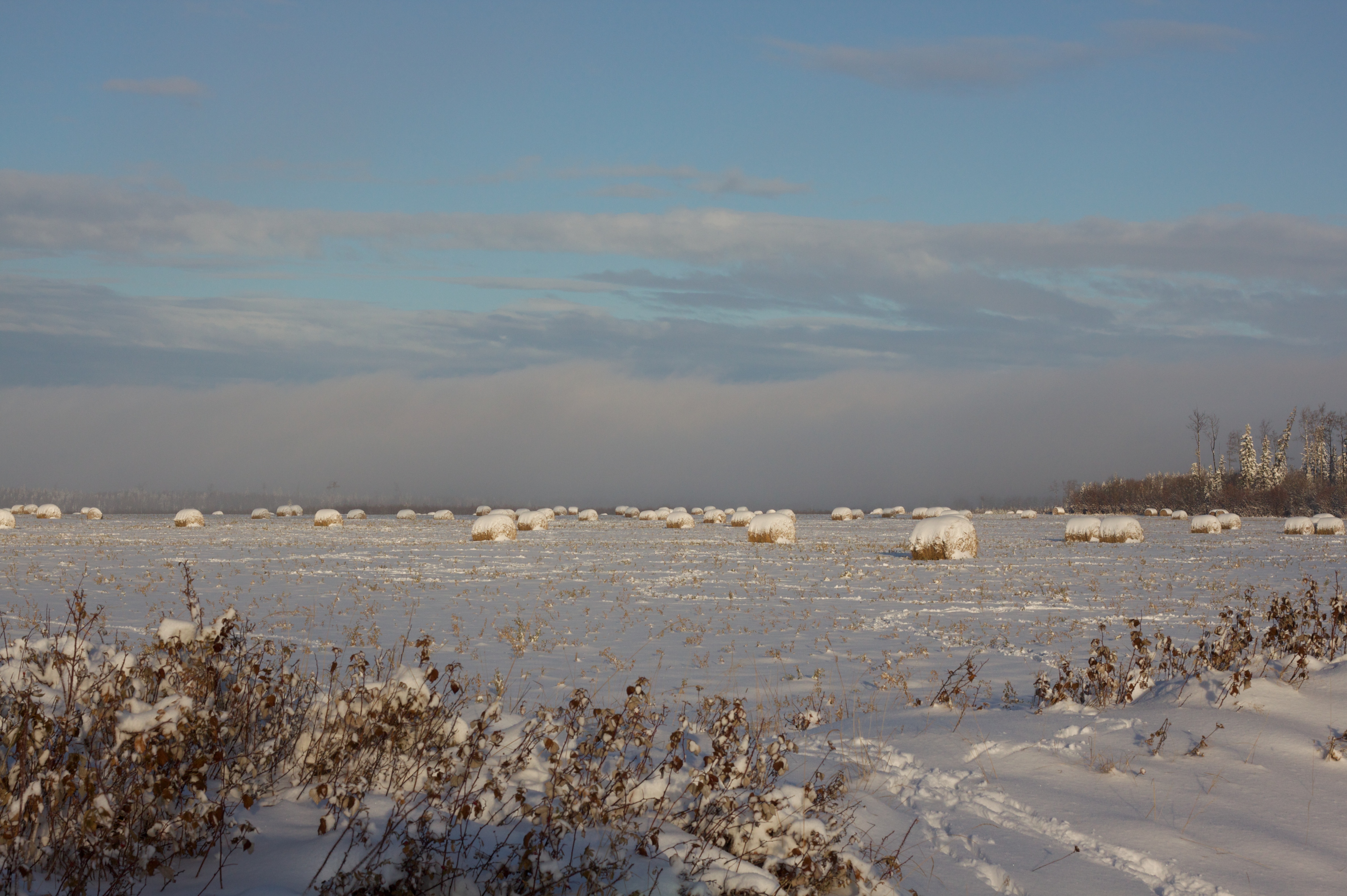
Foggy Field
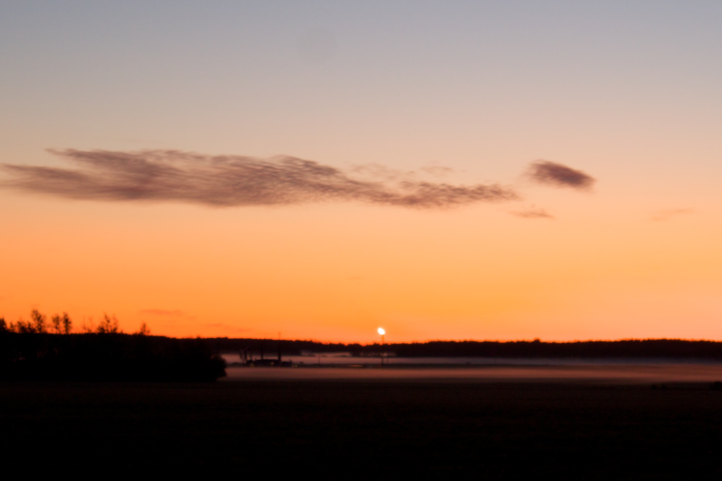
Saturday Morning Sunrise

Finding a little Peace in Peace Country!
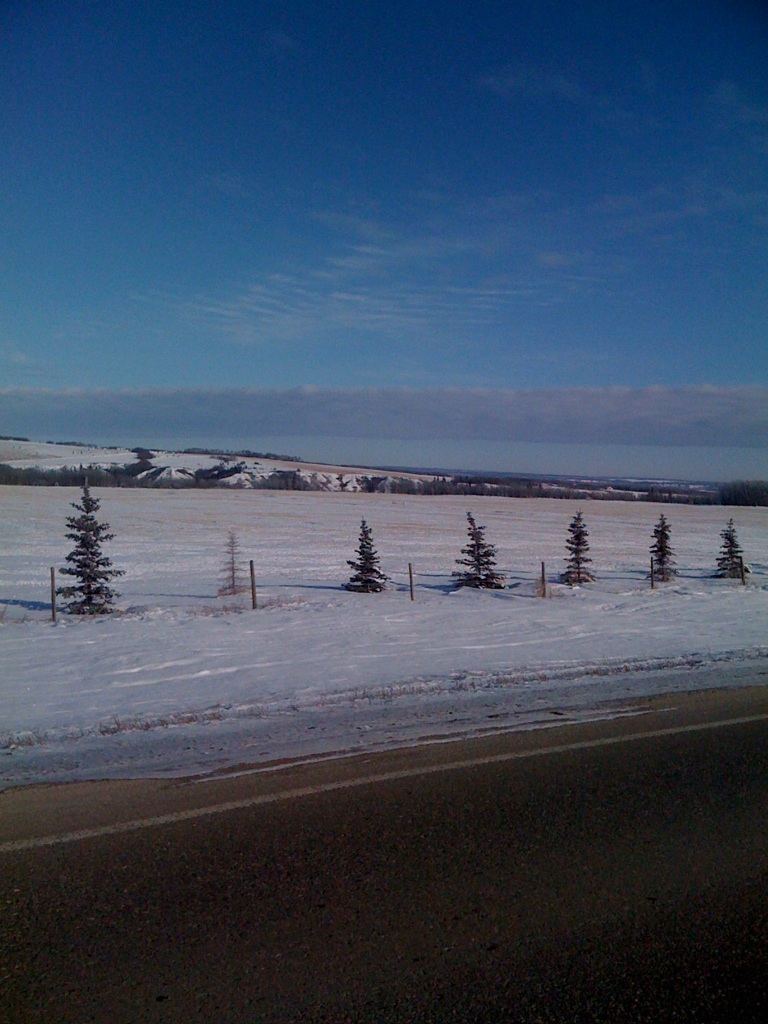
Fort St. John, 12-Feb-09
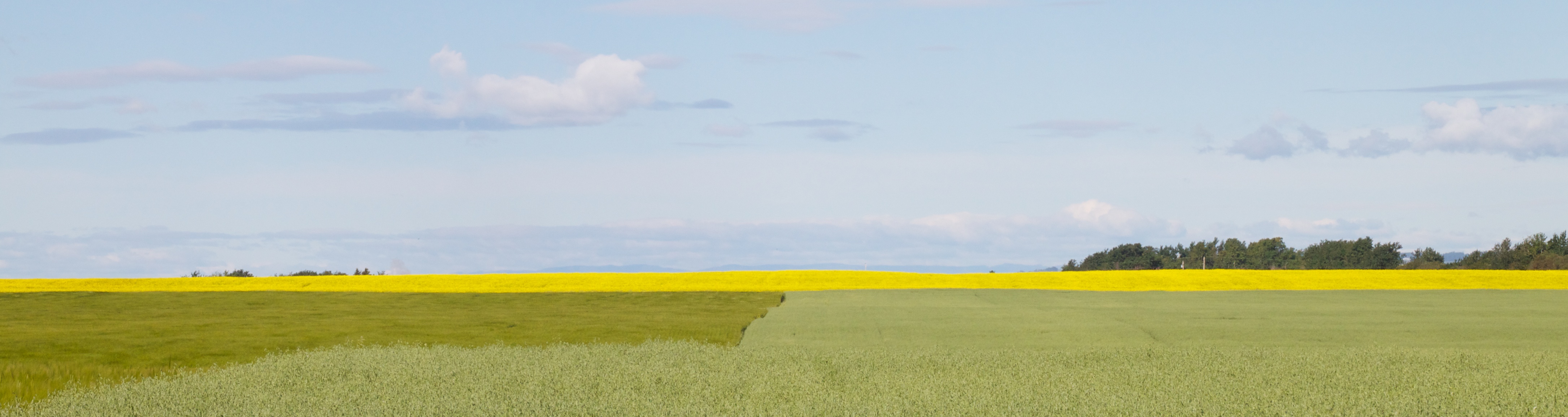
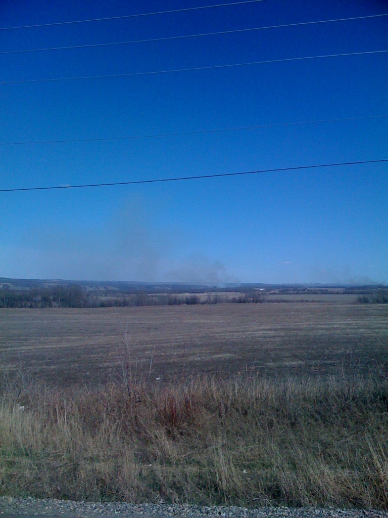
T-Field
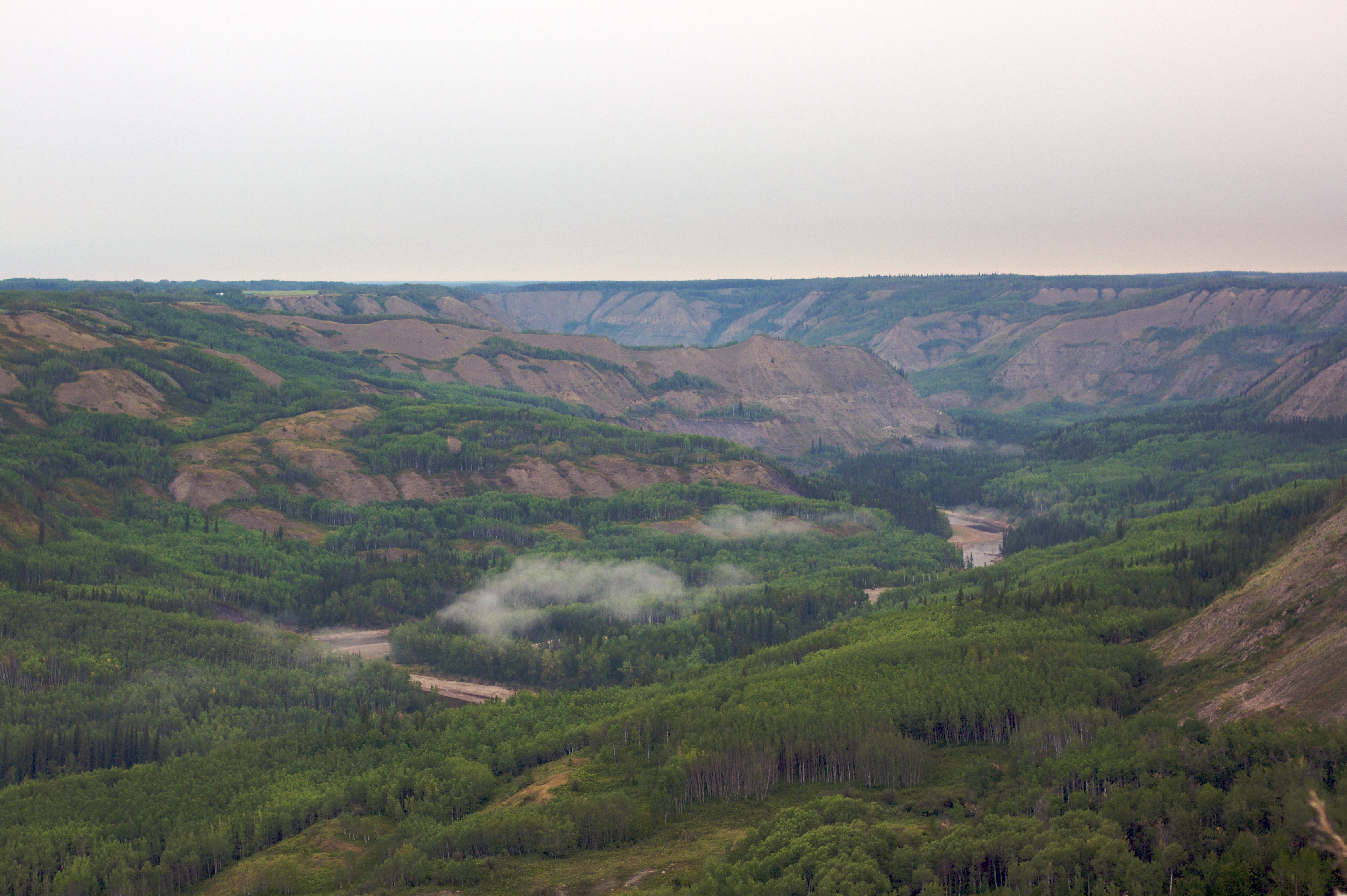
Beaton River Valley
Mom on the Run
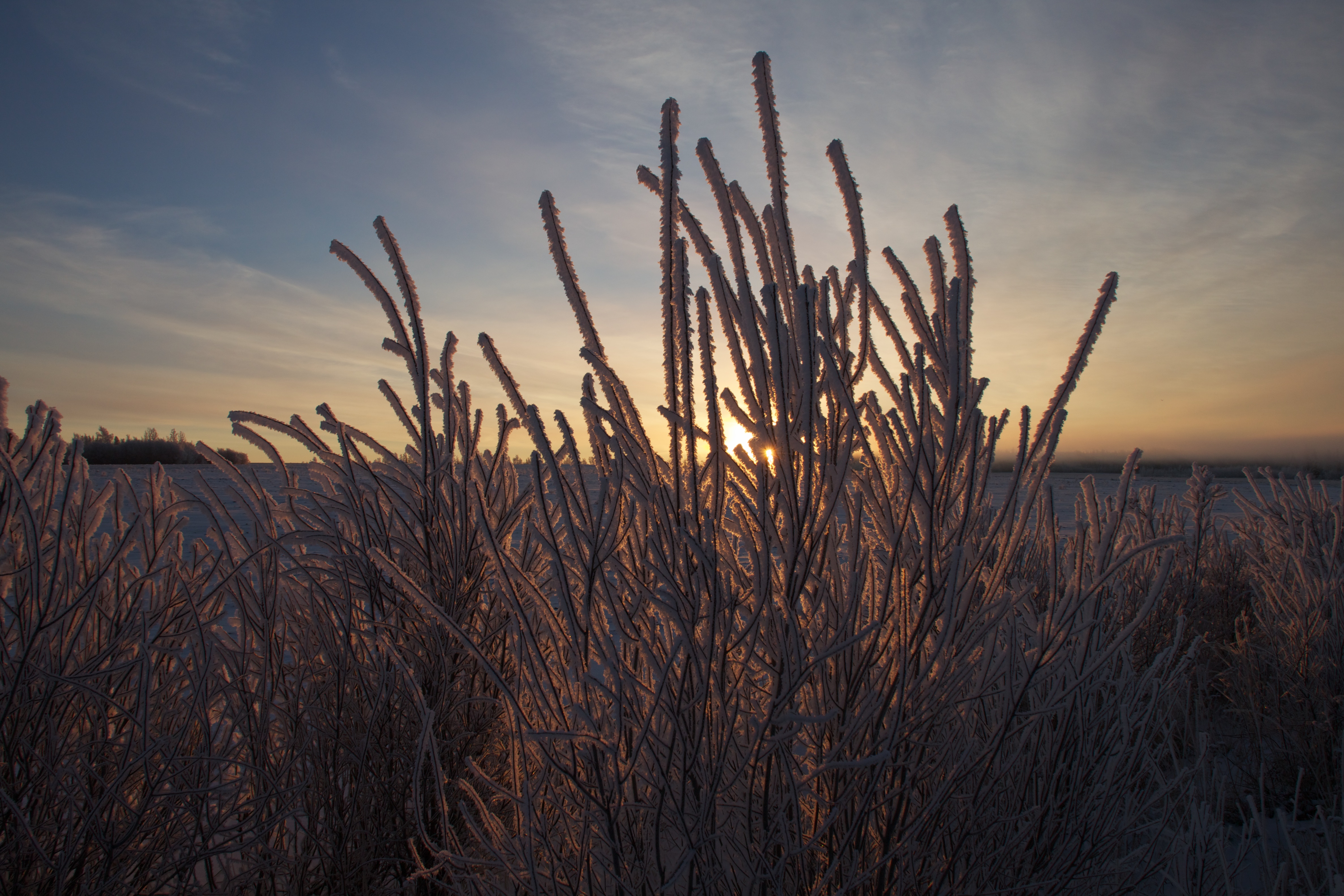
Sunrise and Hoar Frost
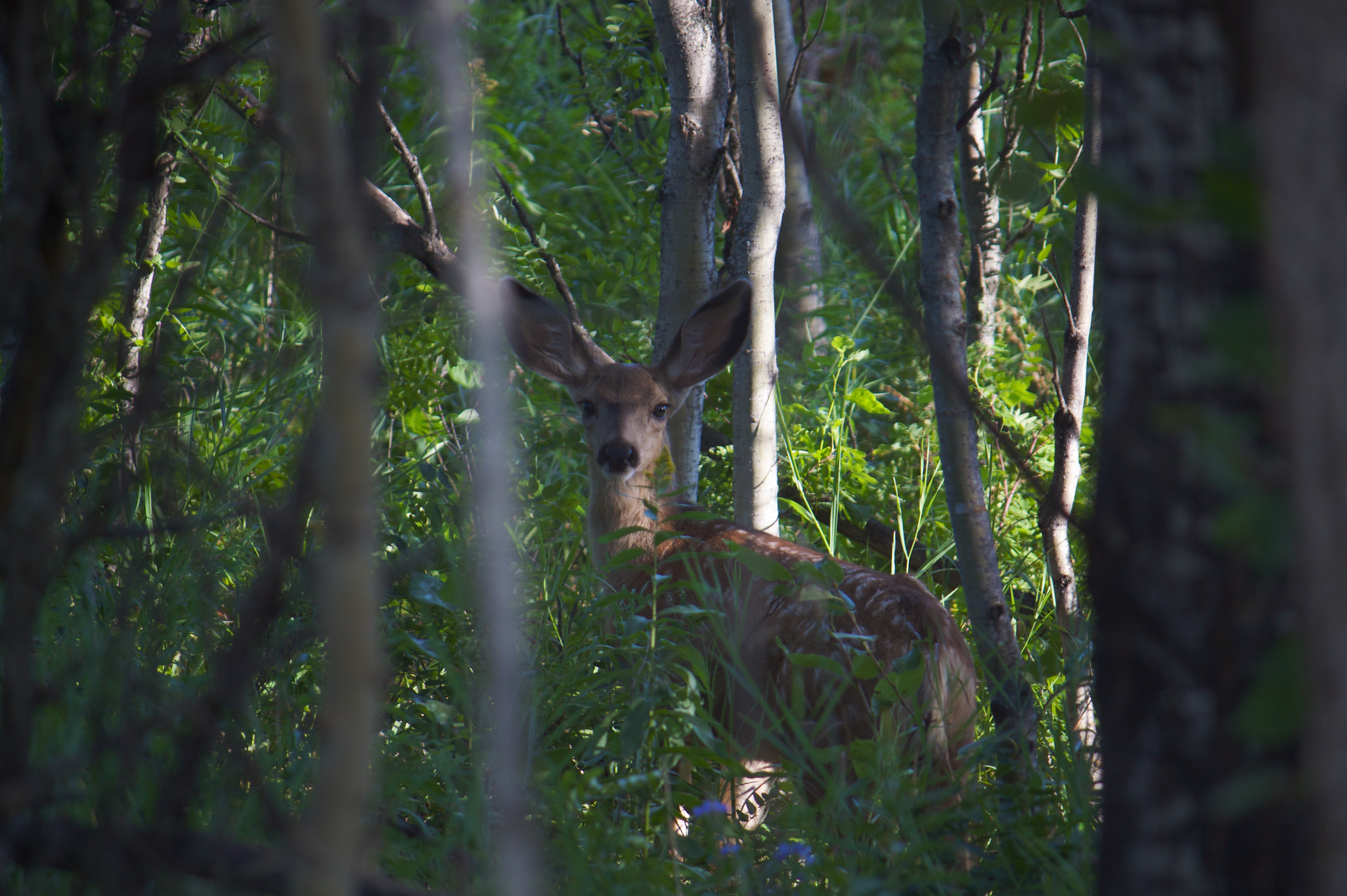
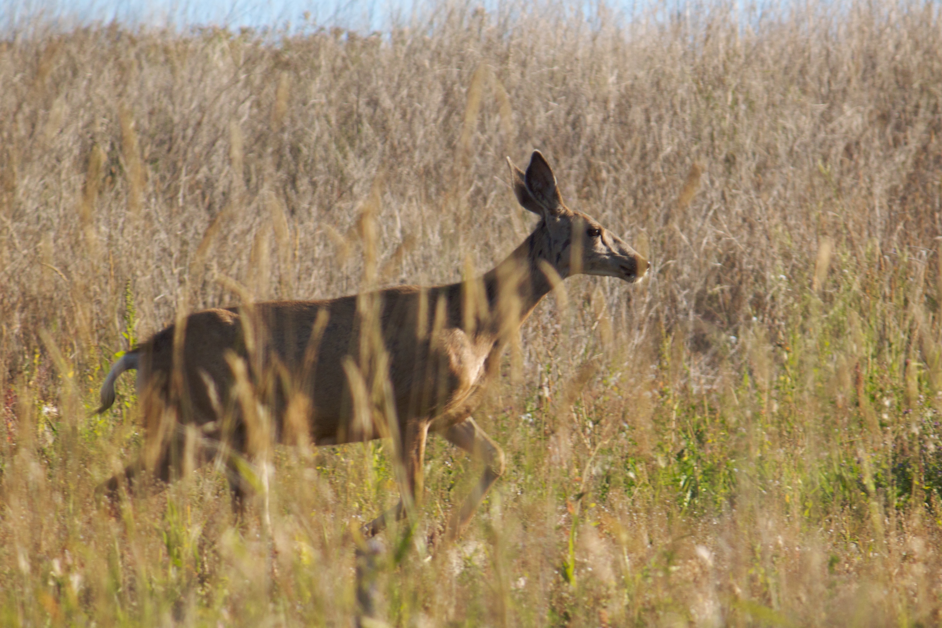
Curious Mule Deer Fawn
3/4 's Full
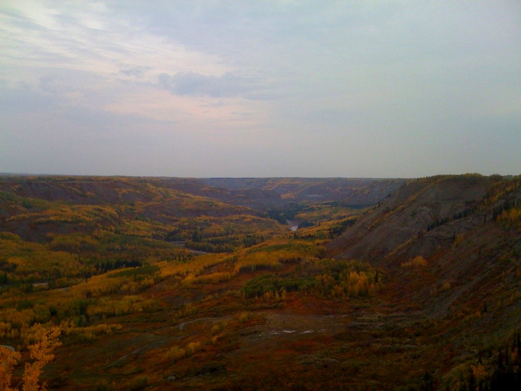
Beaton River
Fort St. John, 4-May-09
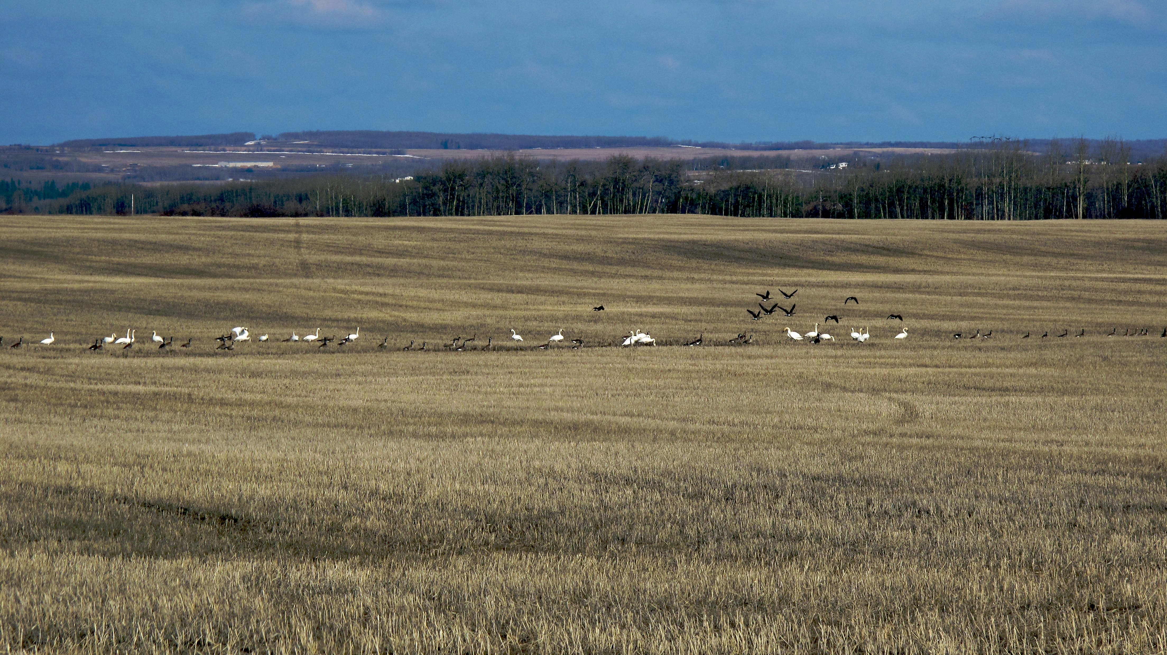
Feathered Friends
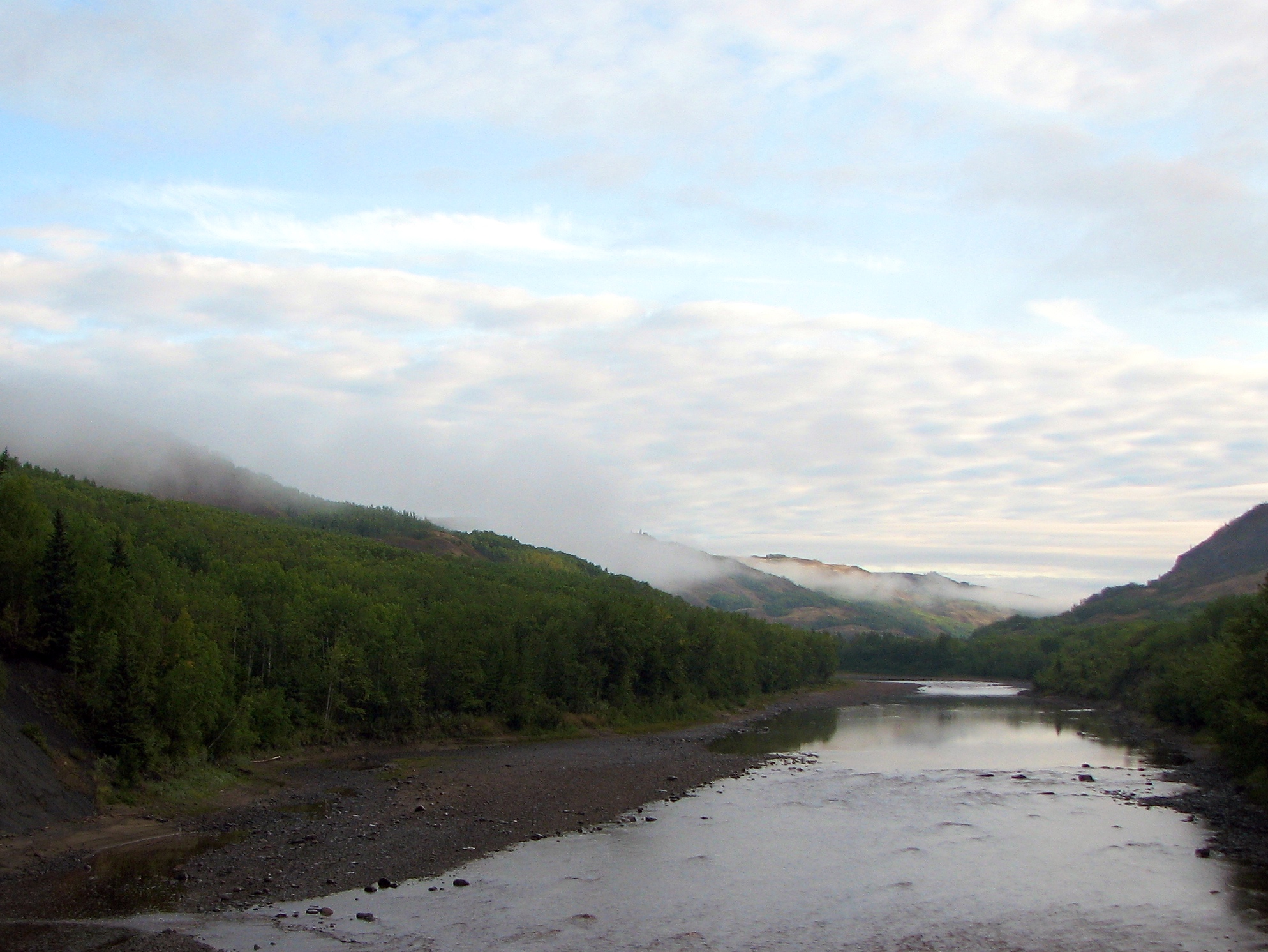
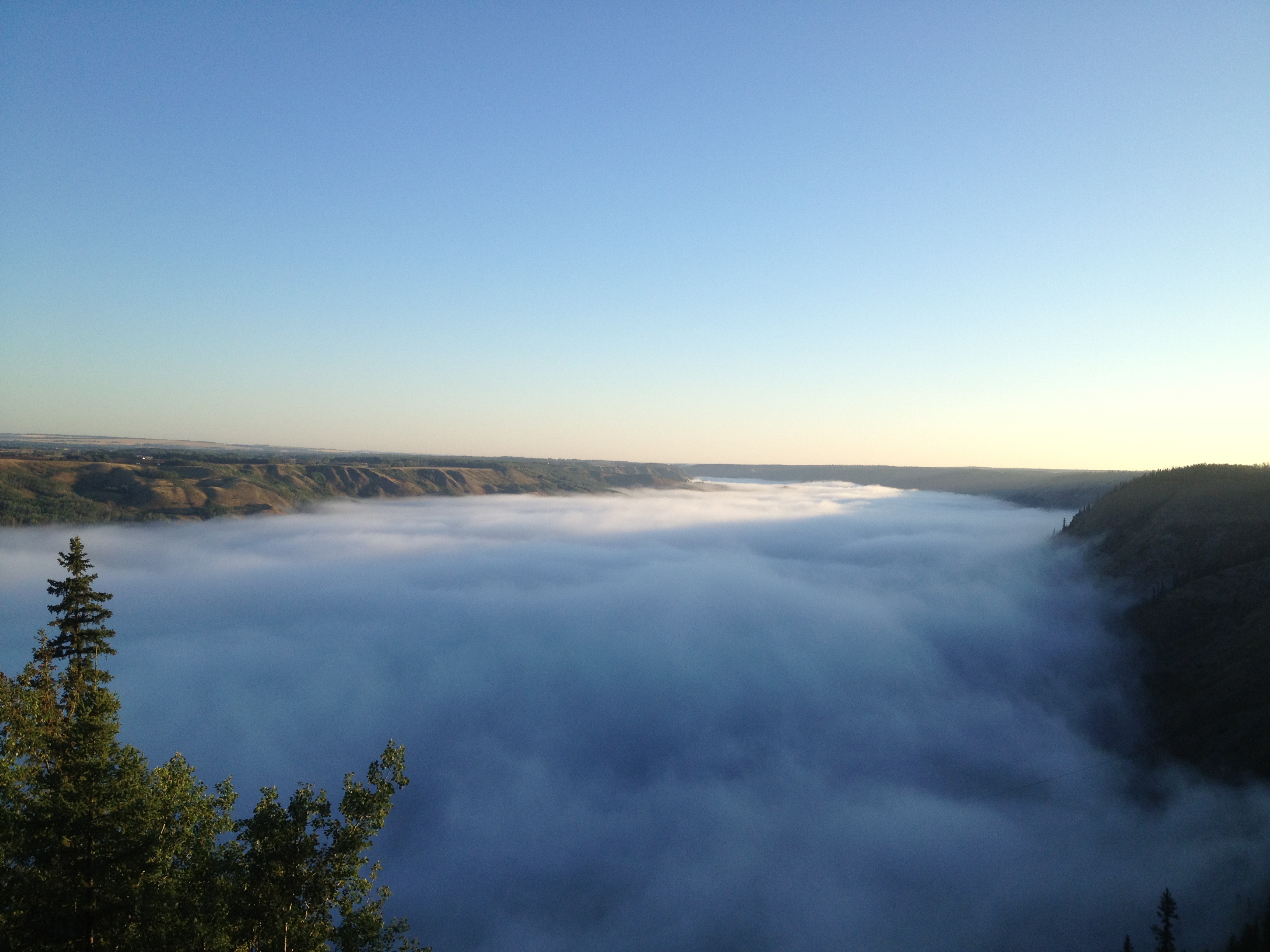
Fog Lifting from the Beaton River
Fog Has Lifted
Fog on the River
Feathered Friends
Topographic Map of Cecil Lake, BC V0C 1G0, Canada
Find elevation by address:

Places near Cecil Lake, BC V0C 1G0, Canada:
North Pine
9416 114 Ave
Fort Saint John
10662 106 St
10662 106 St
10662 106 St
10662 106 Ave
Clairmont
Recent Searches:
- Elevation of Dog Leg Dr, Minden, NV, USA
- Elevation of Dog Leg Dr, Minden, NV, USA
- Elevation of Kambingan Sa Pansol Atbp., Purok 7 Pansol, Candaba, Pampanga, Philippines
- Elevation of Pinewood Dr, New Bern, NC, USA
- Elevation of Mountain View, CA, USA
- Elevation of Foligno, Province of Perugia, Italy
- Elevation of Blauwestad, Netherlands
- Elevation of Bella Terra Blvd, Estero, FL, USA
- Elevation of Estates Loop, Priest River, ID, USA
- Elevation of Woodland Oak Pl, Thousand Oaks, CA, USA