Elevation of Ave, Fort St John, BC V1J 2X3, Canada
Location: Canada > British Columbia > Peace River > Peace River C > Fort Saint John >
Longitude: -120.83701
Latitude: 56.259905
Elevation: 685m / 2247feet
Barometric Pressure: 93KPa
Elevation Map:
Satellite Map:
Related Photos:

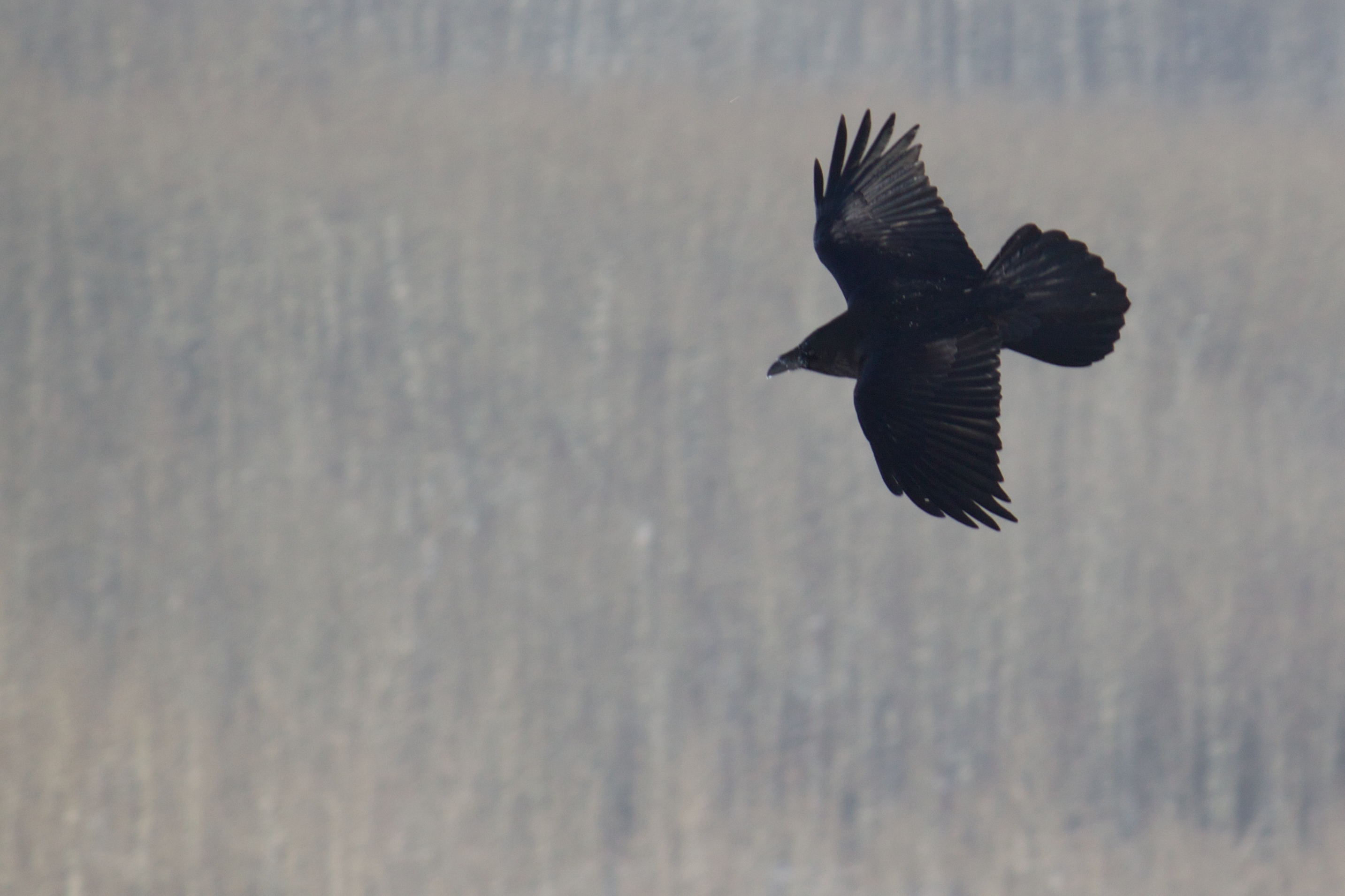
Wildlife in Northern British Columbia

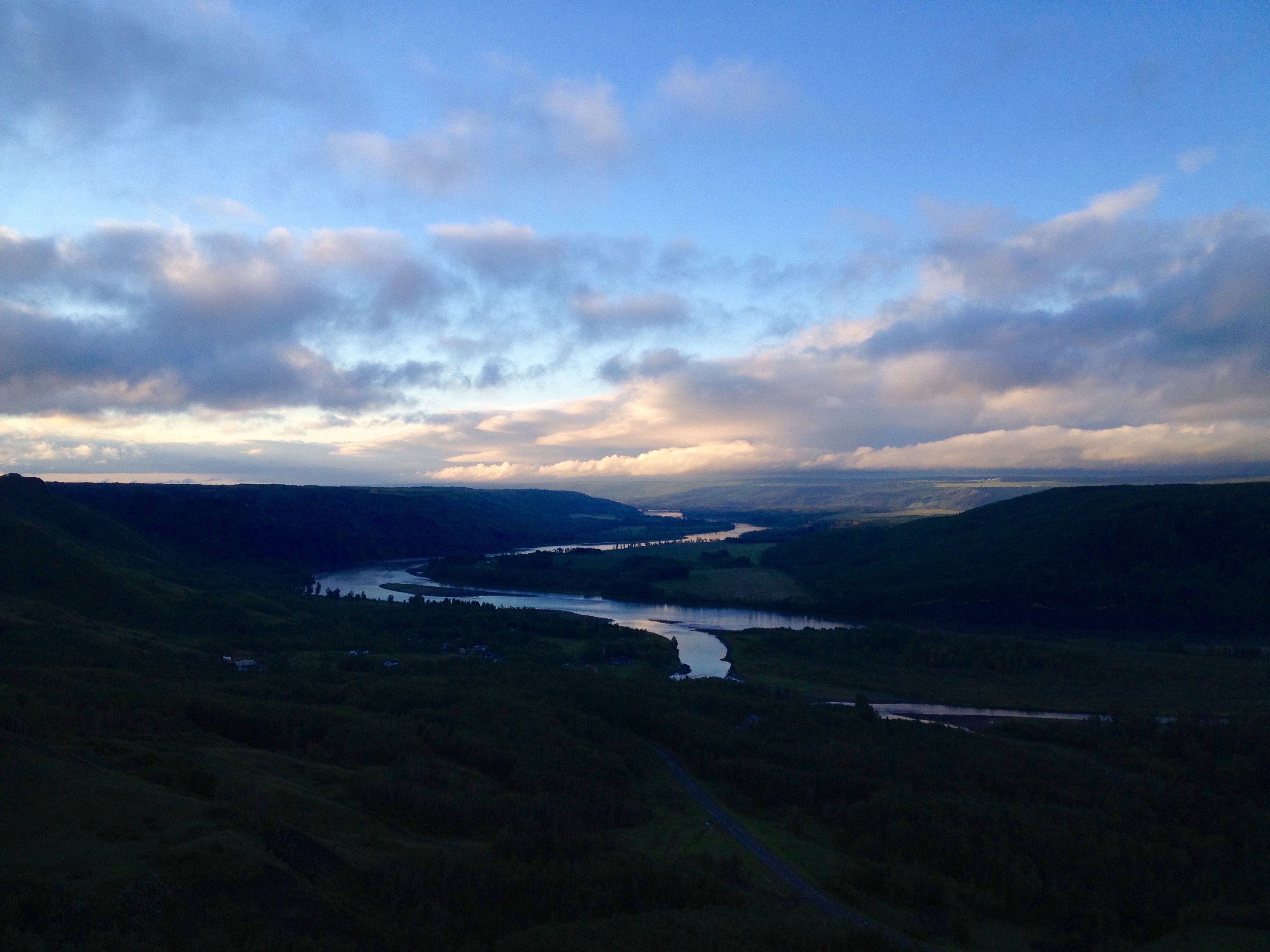
A Great Place to View the Peace
Bird's Eye View
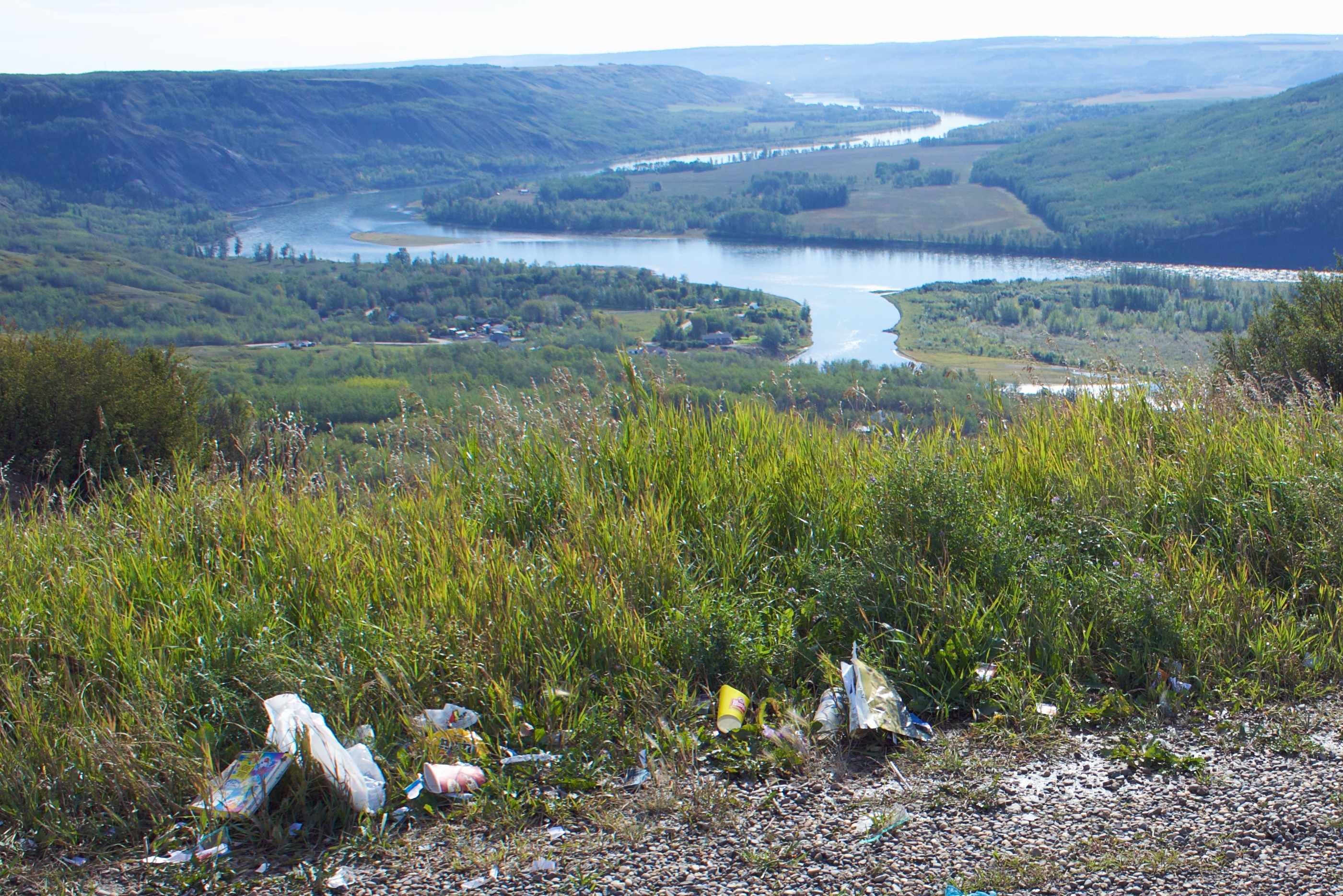
Why Do People Have to Spoil the View
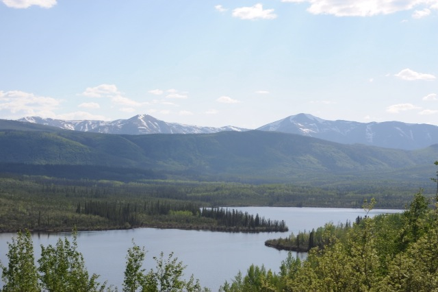
Lake view
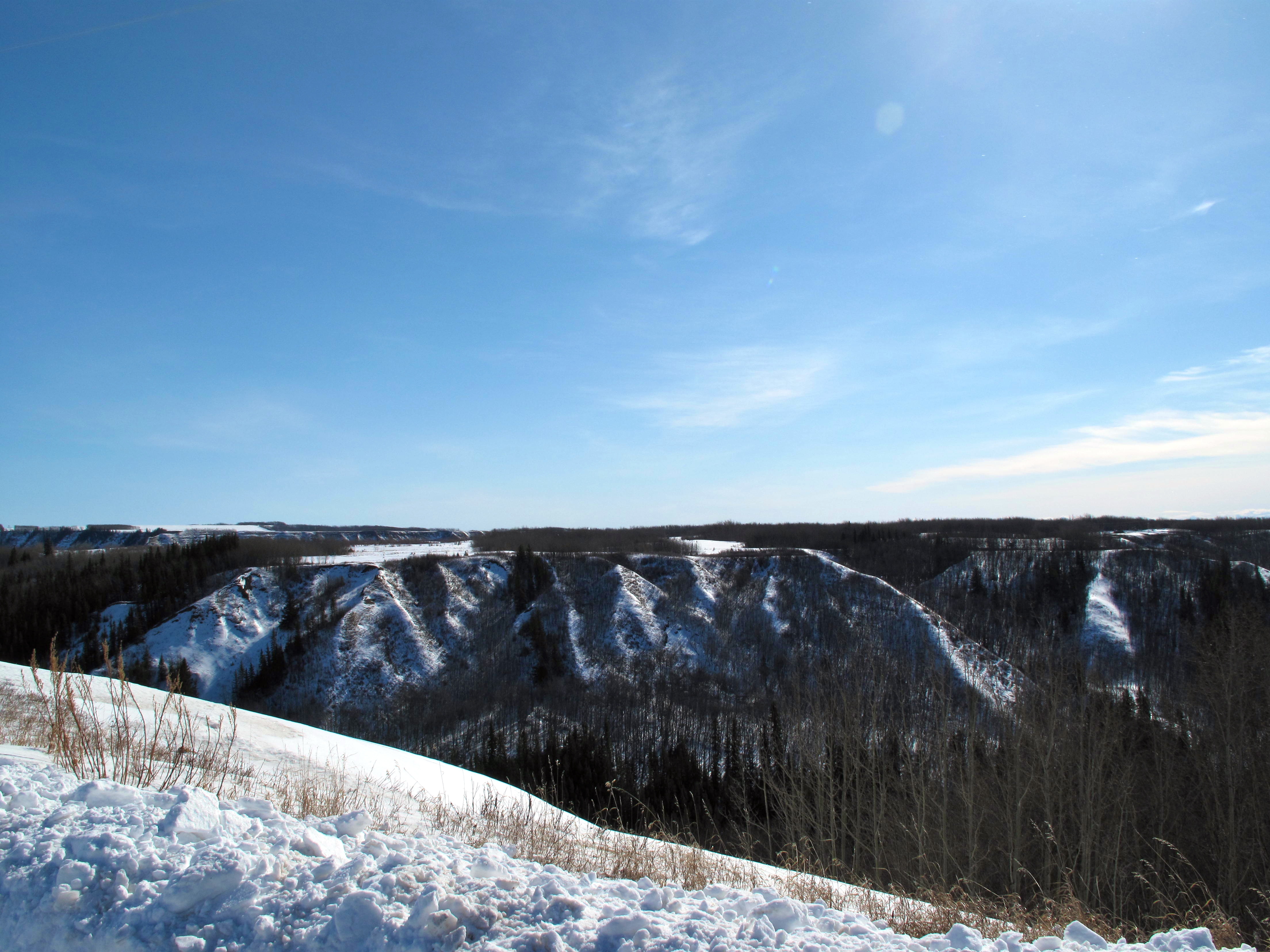
Coulee View
Peace Hills June 2013
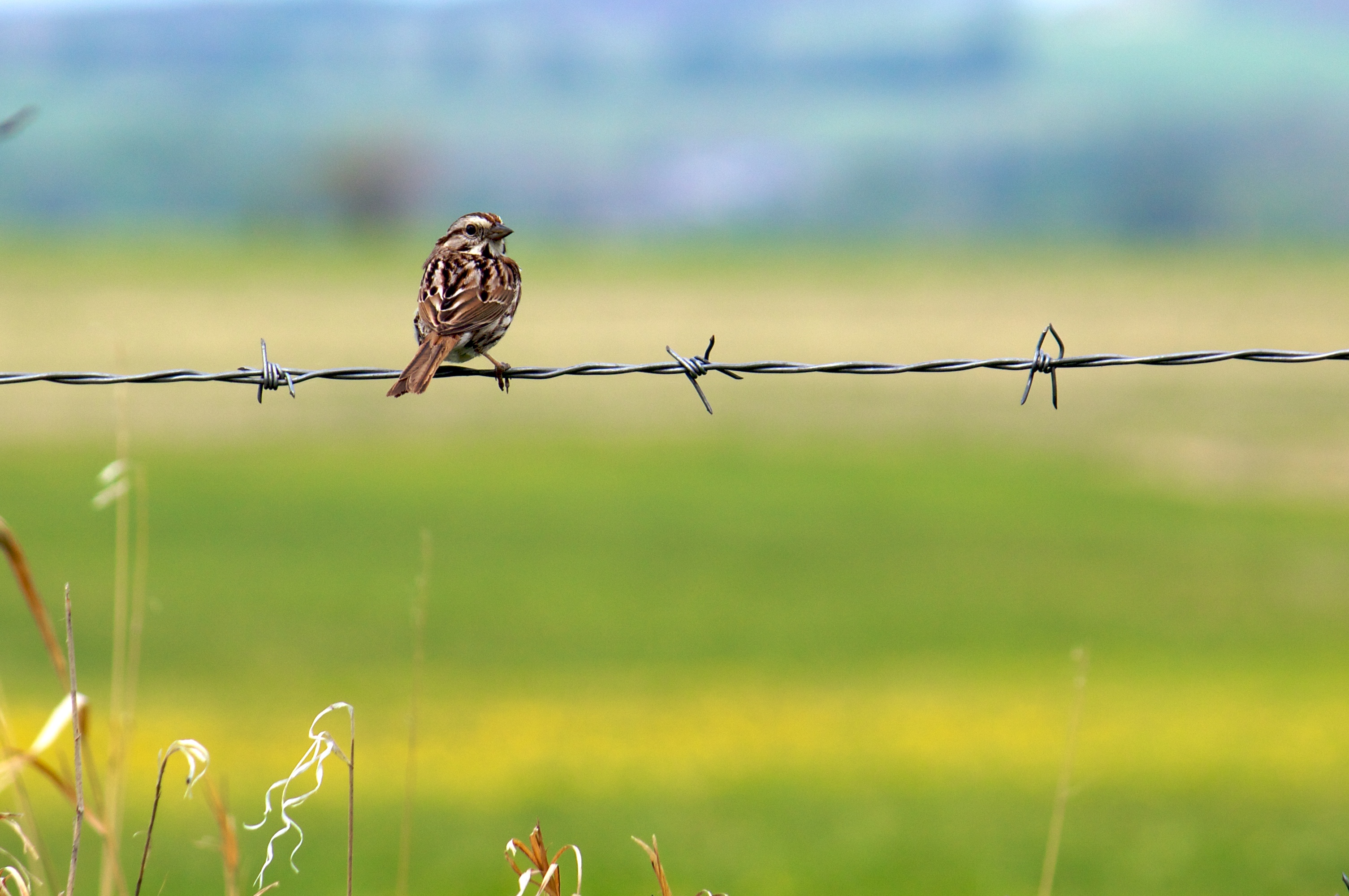
Song Sparrow (I think)

Finding a little Peace in Peace Country!
IMGP0694.JPG
IMGP0695.JPG
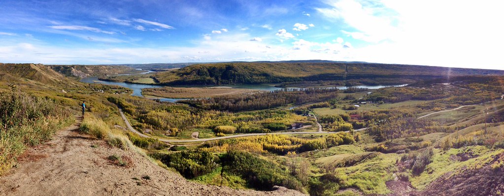
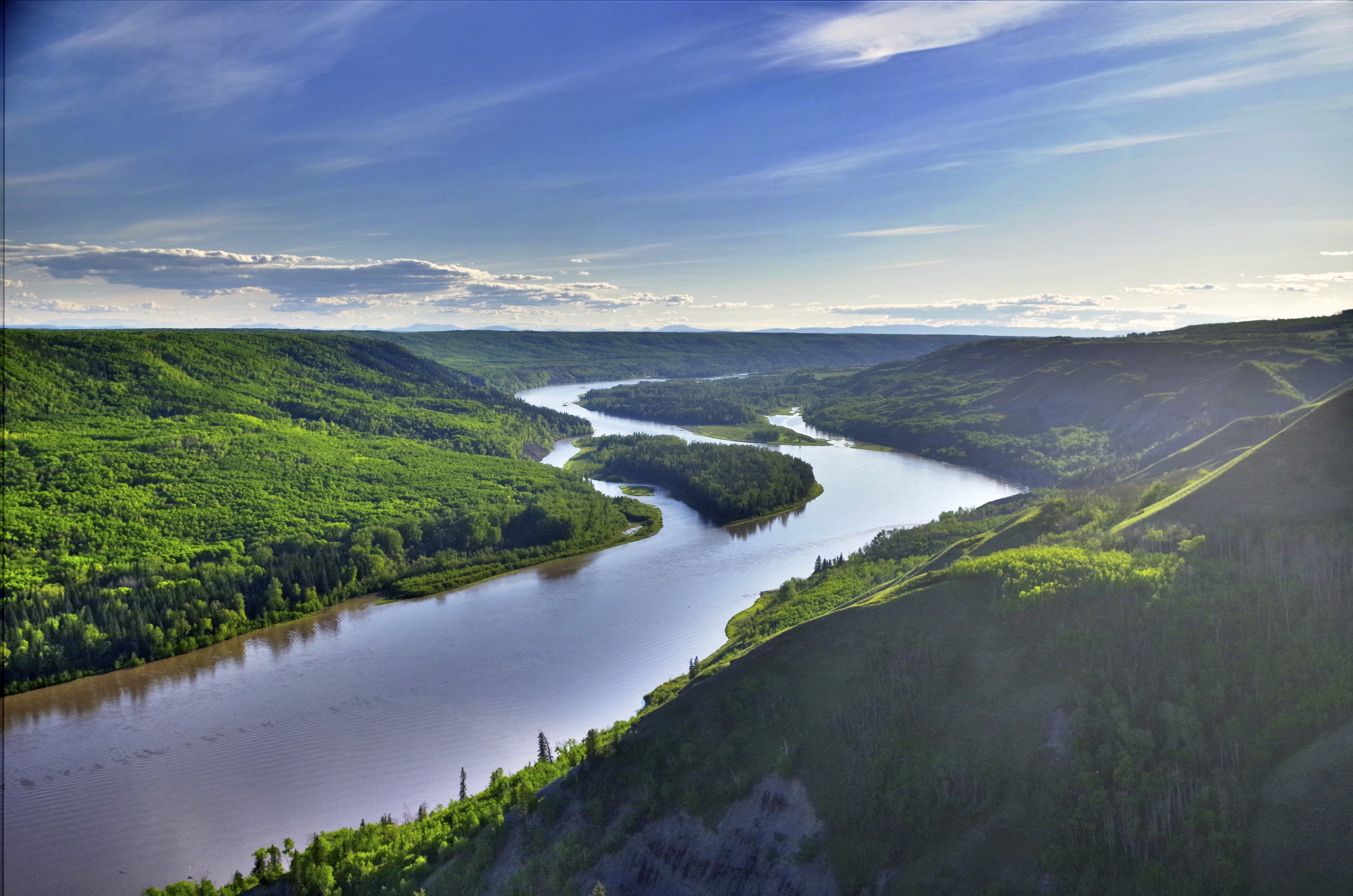
Peace River Pano
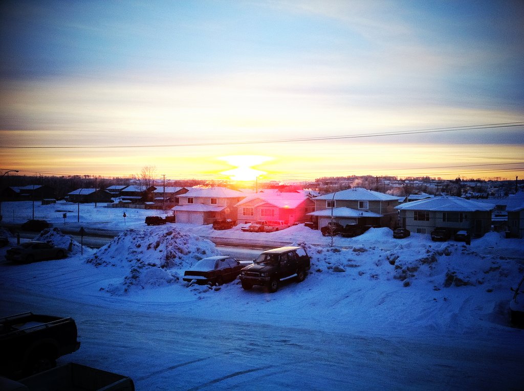
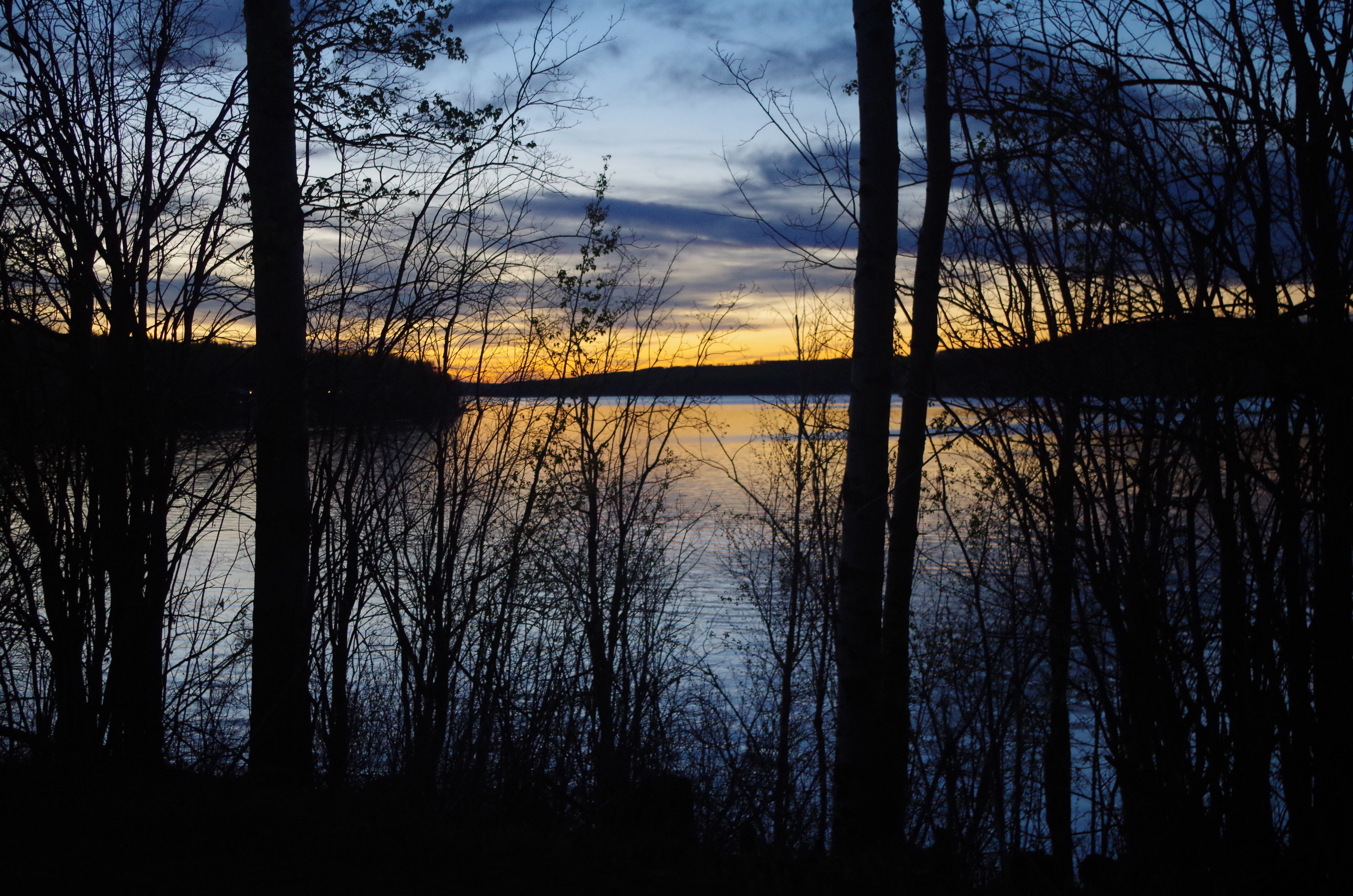
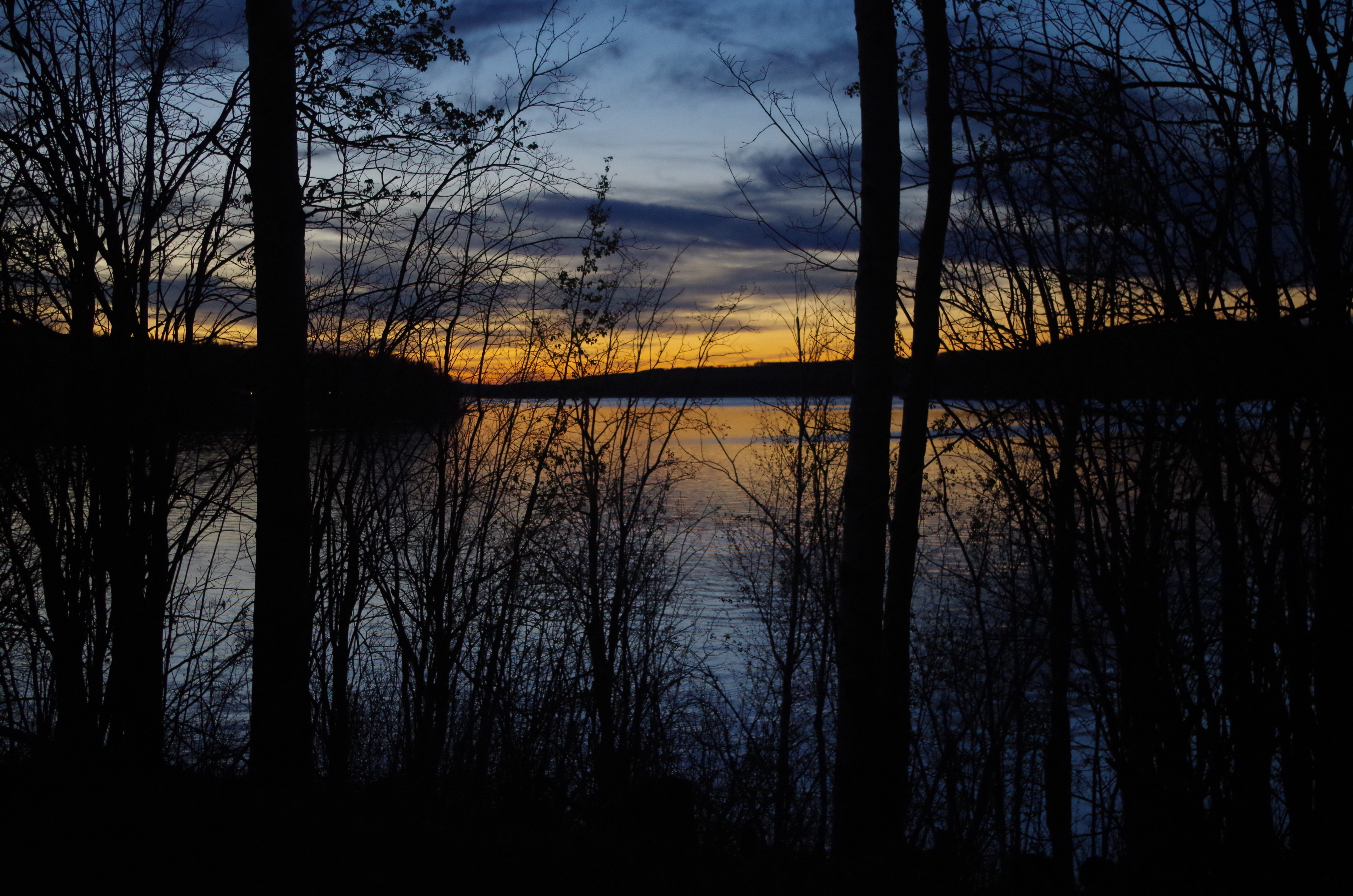
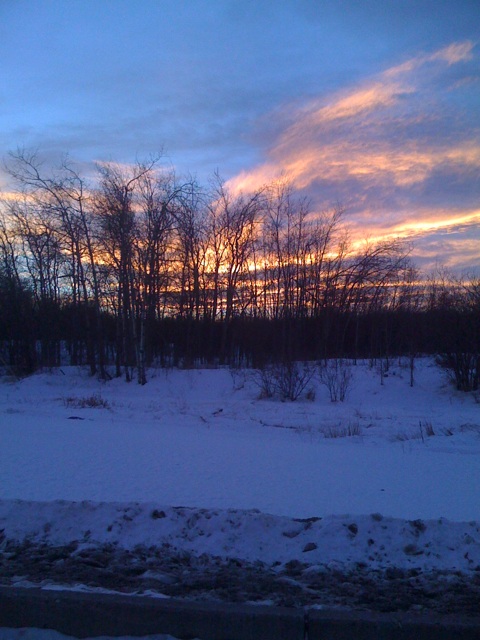
A sunset to finish the day.
IMGP0697.JPG
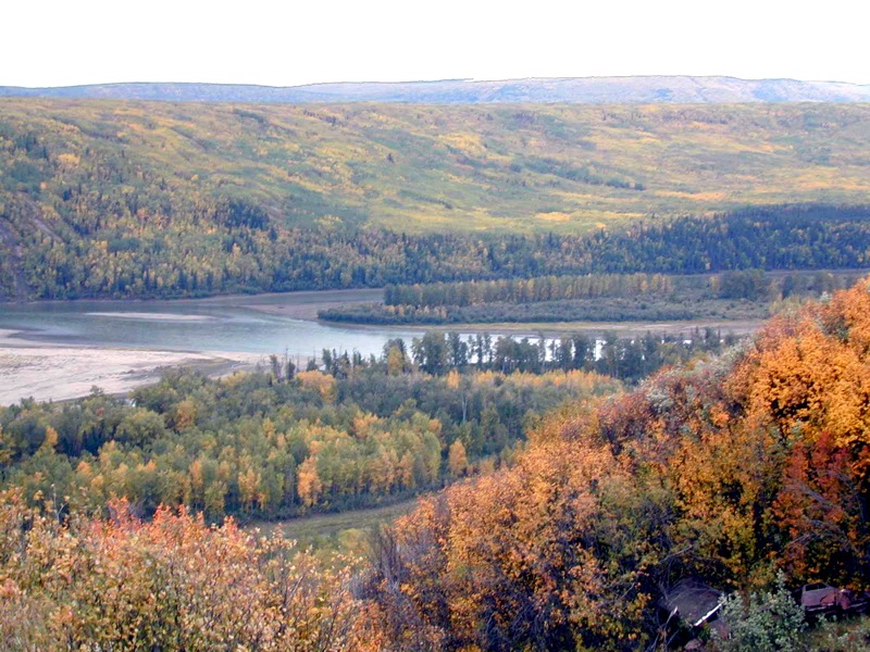
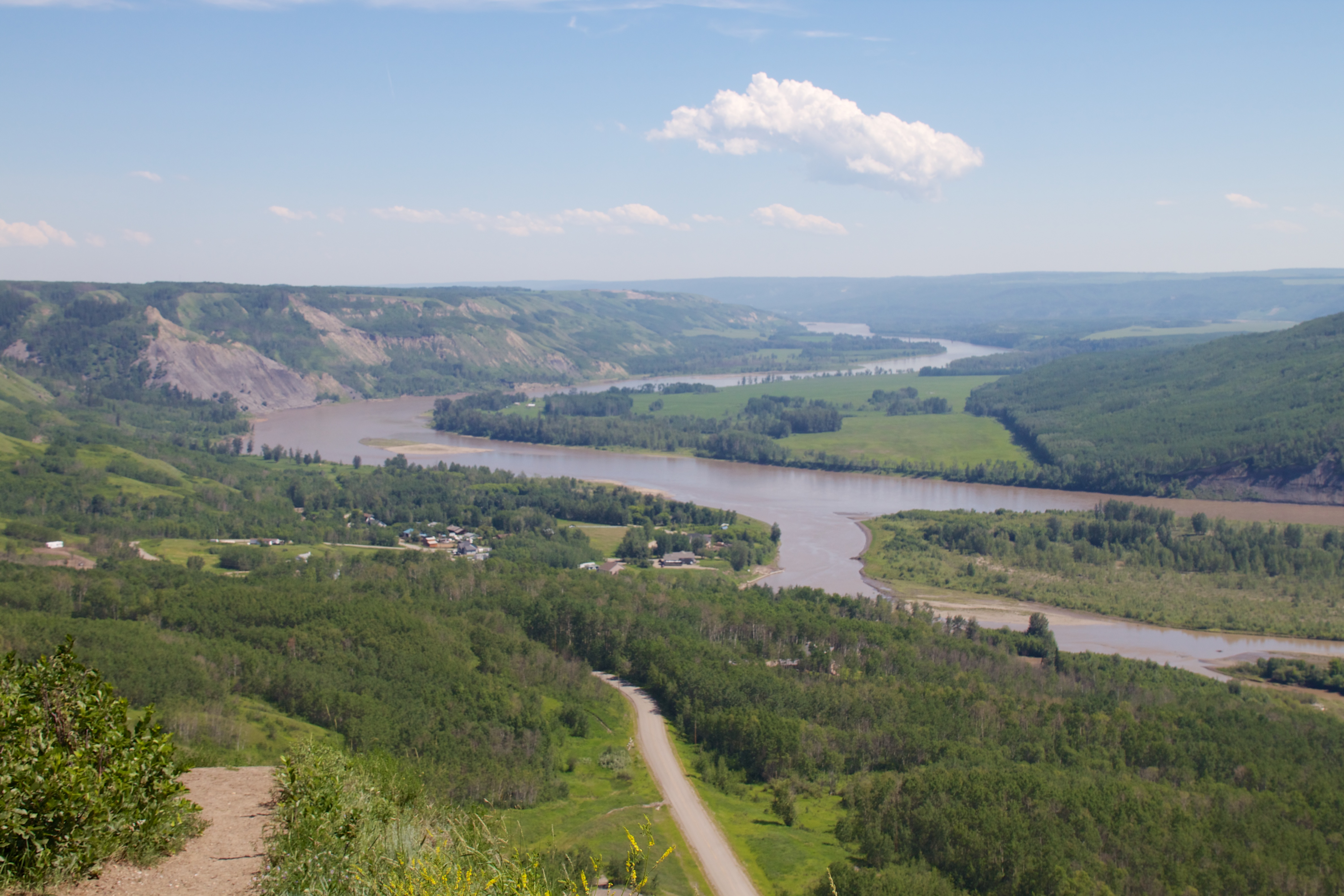
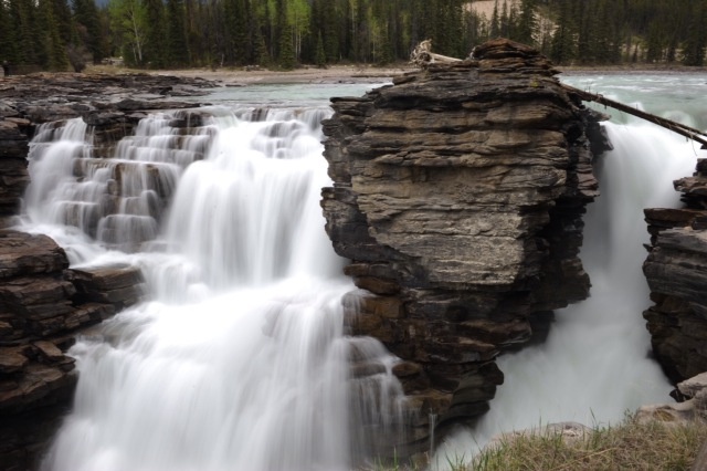
Northern Rocky Mountains & The Peace River
Peace Lookout
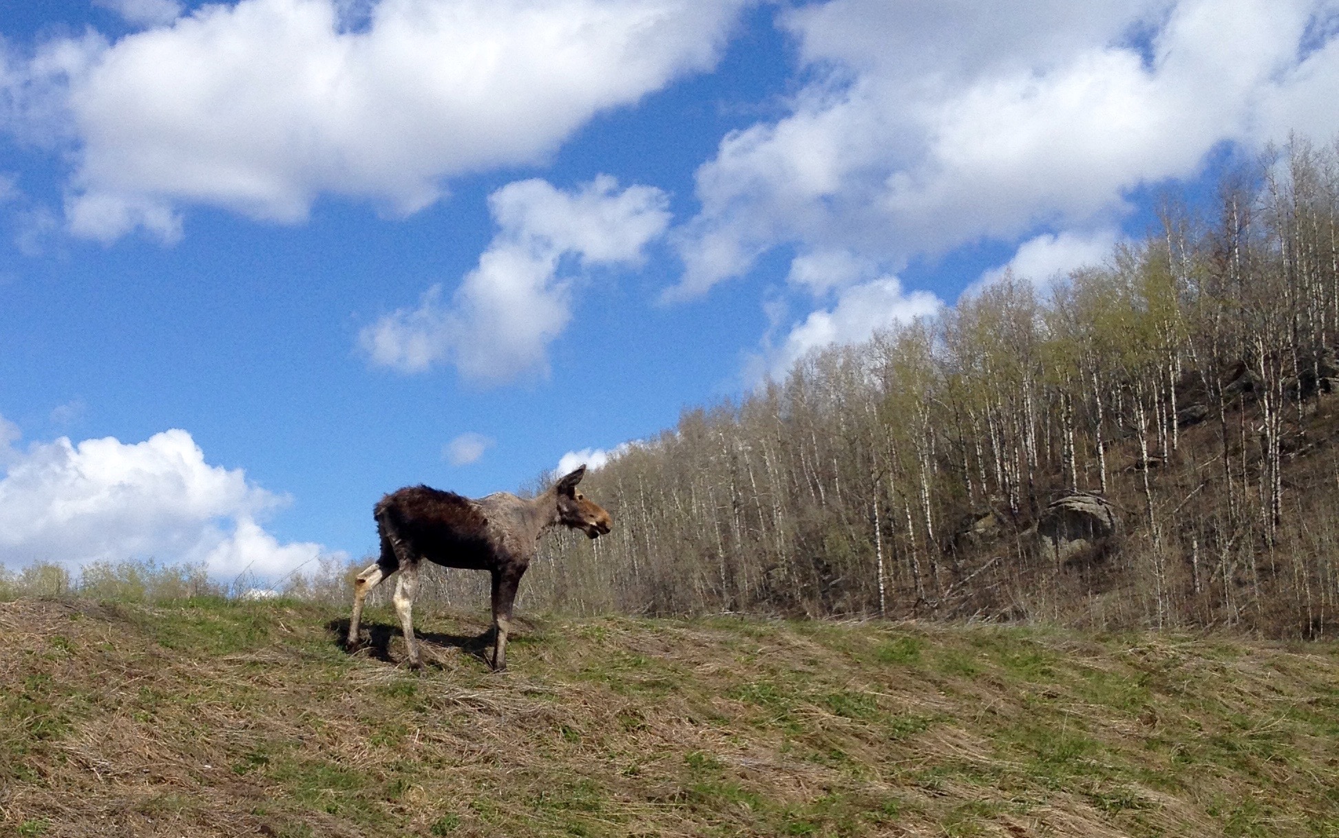
Cow Moose
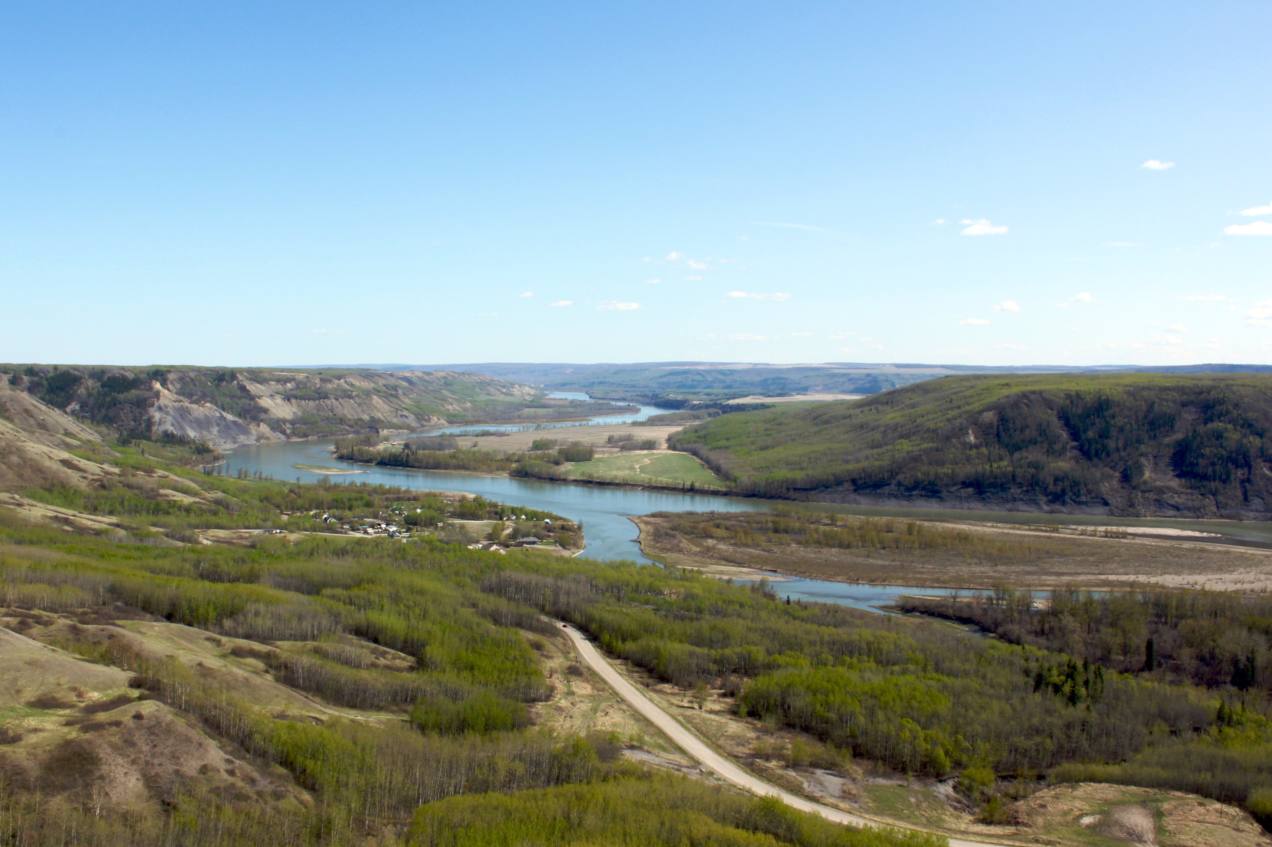
The Peace River in Spring
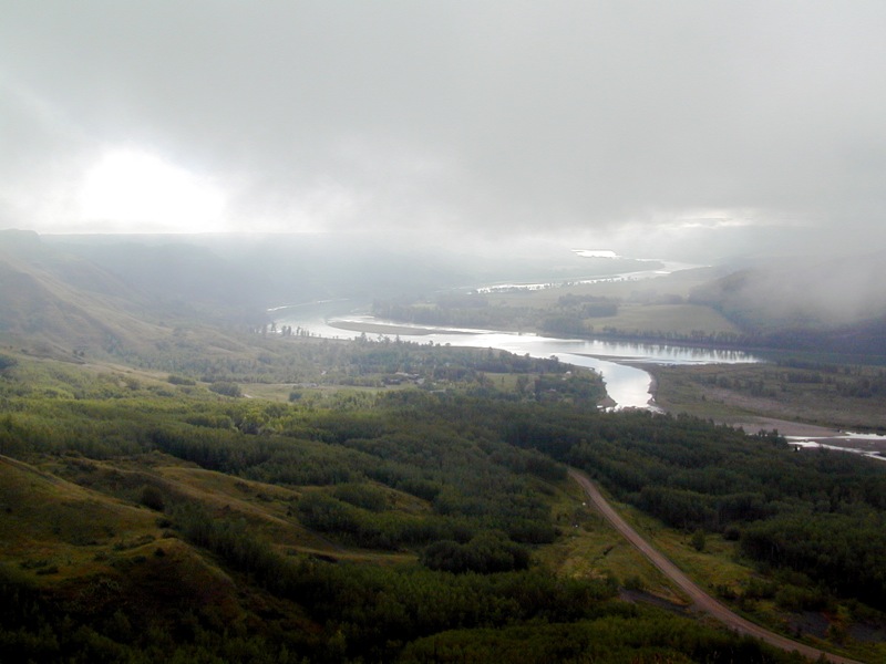
Peace River Fog
Sunrise on the Peace River
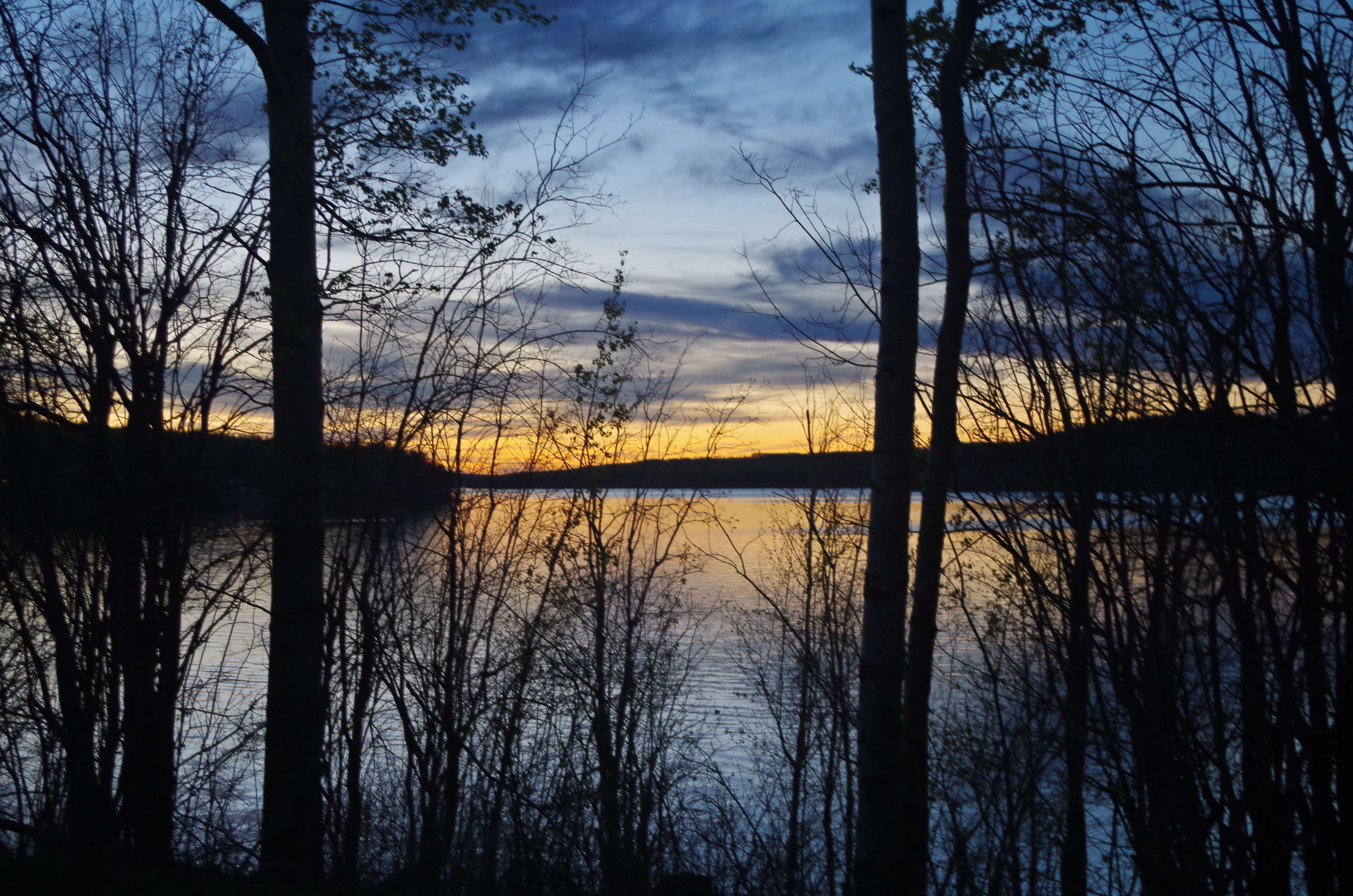
Last Light
Hazy Sky Muddy Water
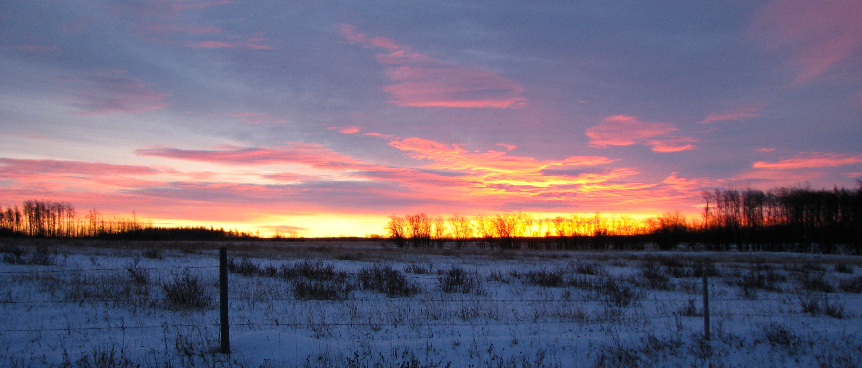
November Sunrise
Ribbons of white
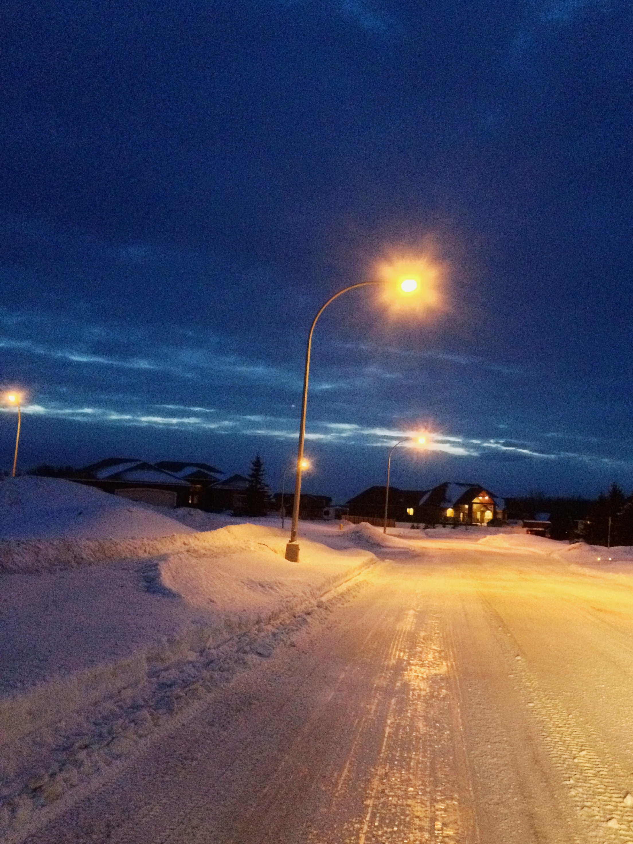
Fort St. John, 17-Jan-09
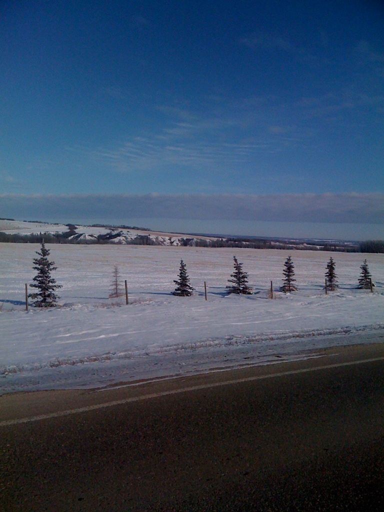
Fort St. John, 12-Feb-09
Topographic Map of Ave, Fort St John, BC V1J 2X3, Canada
Find elevation by address:

Places near Ave, Fort St John, BC V1J 2X3, Canada:
Fort Saint John
10662 106 St
10662 106 St
10662 106 St
10662 106 Ave
Clairmont
North Pine
Cecil Lake
Recent Searches:
- Elevation of Lytham Ln, Katy, TX, USA
- Elevation of Tater Hill, Oklahoma, USA
- Elevation of NY-, Friendship, NY, USA
- Elevation of 64 Danakas Dr, Winnipeg, MB R2C 5N7, Canada
- Elevation of 4 Vale Rd, Sheffield S3 9QX, UK
- Elevation of Keene Point Drive, Keene Point Dr, Grant, AL, USA
- Elevation of State St, Zanesville, OH, USA
- Elevation of Austin Stone Dr, Haslet, TX, USA
- Elevation of Bydgoszcz, Poland
- Elevation of Bydgoszcz, Poland