Elevation map of Niobrara County, WY, USA
Location: United States > Wyoming >
Longitude: -104.47233
Latitude: 43.0212373
Elevation: 1343m / 4406feet
Barometric Pressure: 86KPa
Elevation Map:
Satellite Map:
Related Photos:
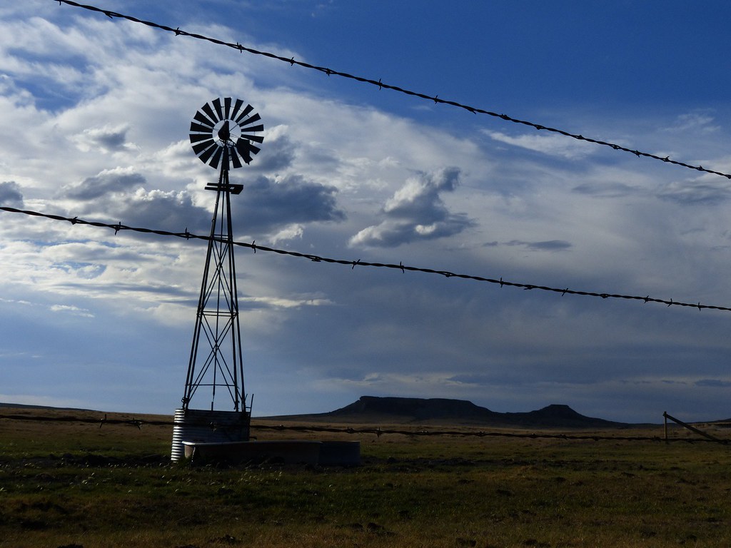
Tranquility (Explore 9/4/2012)
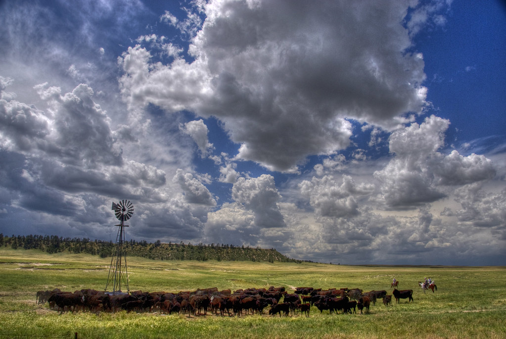
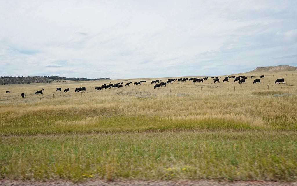
Round'em Up, Wyoming
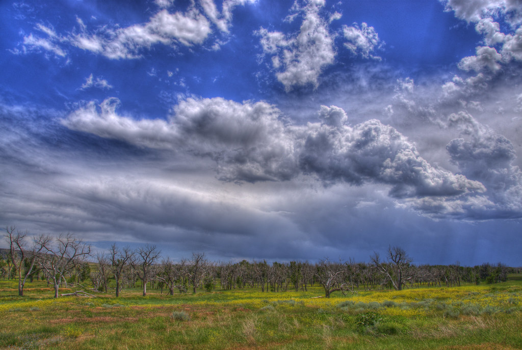
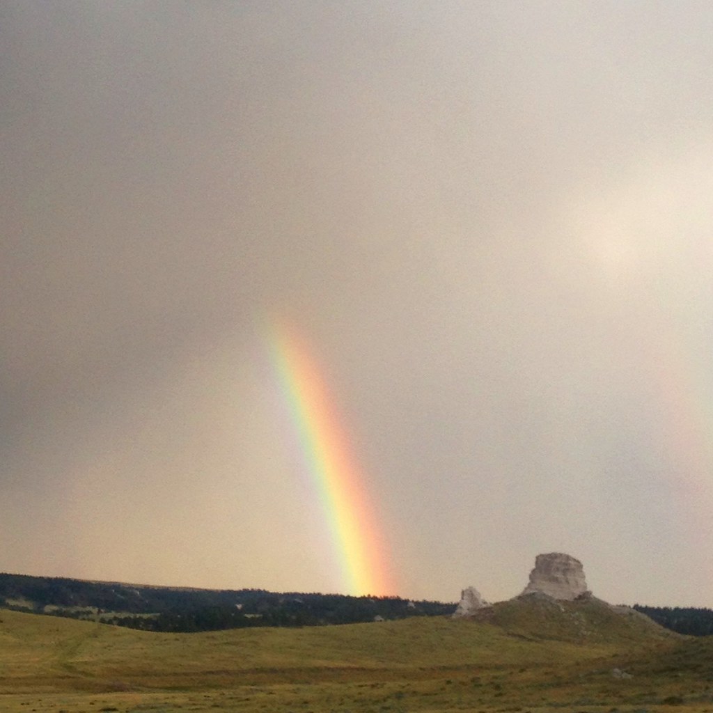
Ghost Trees & Wildflowers
Uploaded - 9\25\08-24
DSC_1865_2013-08-25_11-59-38

Post Office 82222 (Lance Creek, Wyoming)

2013-10-14 14.13.23

2013-10-14 14.13.17

2013-10-14 14.12.55

2013-10-14 14.12.23

2013-10-14 14.12.02

2013-10-14 14.11.37

2013-10-14 14.11.34

2013-10-14 14.08.48

2013-10-14 14.08.19

2013-10-14 14.08.10
#MtCRUSHmoreLOL

Some times adventure is found in the funniest places. #outdoorkids

The Savior
Uploaded - 9\25\08-30
Uploaded - 9\25\08-29
Topographic Map of Niobrara County, WY, USA
Find elevation by address:

Places in Niobrara County, WY, USA:
Places near Niobrara County, WY, USA:
Lance Creek
20 Mile Rd, Lance Creek, WY, USA
S Main St, Lusk, WY, USA
Lusk
Manville
Main St Lost Spring, Shawnee, WY, USA
0 Cedar Top Rd
Van Tassell
Hartville
Glendo
Big Moon Drive
Cassa Rd, Glendo, WY, USA
Guernsey State Park
18 S Wyoming Ave, Guernsey, WY, USA
Guernsey
50 Osprey Ln
Unnamed Road
Anvil Peak
Orin
Bill
Recent Searches:
- Elevation of Corso Fratelli Cairoli, 35, Macerata MC, Italy
- Elevation of Tallevast Rd, Sarasota, FL, USA
- Elevation of 4th St E, Sonoma, CA, USA
- Elevation of Black Hollow Rd, Pennsdale, PA, USA
- Elevation of Oakland Ave, Williamsport, PA, USA
- Elevation of Pedrógão Grande, Portugal
- Elevation of Klee Dr, Martinsburg, WV, USA
- Elevation of Via Roma, Pieranica CR, Italy
- Elevation of Tavkvetili Mountain, Georgia
- Elevation of Hartfords Bluff Cir, Mt Pleasant, SC, USA