Elevation of 20 Mile Rd, Lance Creek, WY, USA
Location: United States > Wyoming > Niobrara County > Lance Creek >
Longitude: -104.6995017
Latitude: 43.0451407
Elevation: 1342m / 4403feet
Barometric Pressure: 0KPa
Related Photos:
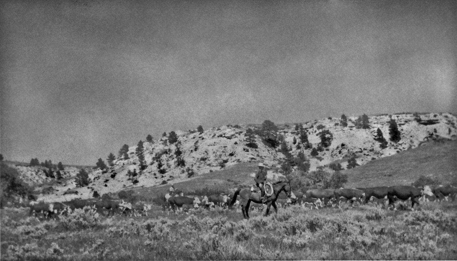
Horse Shoe Ranch cattle north of corrals on Lower lightning Creek- copy unknown photographer
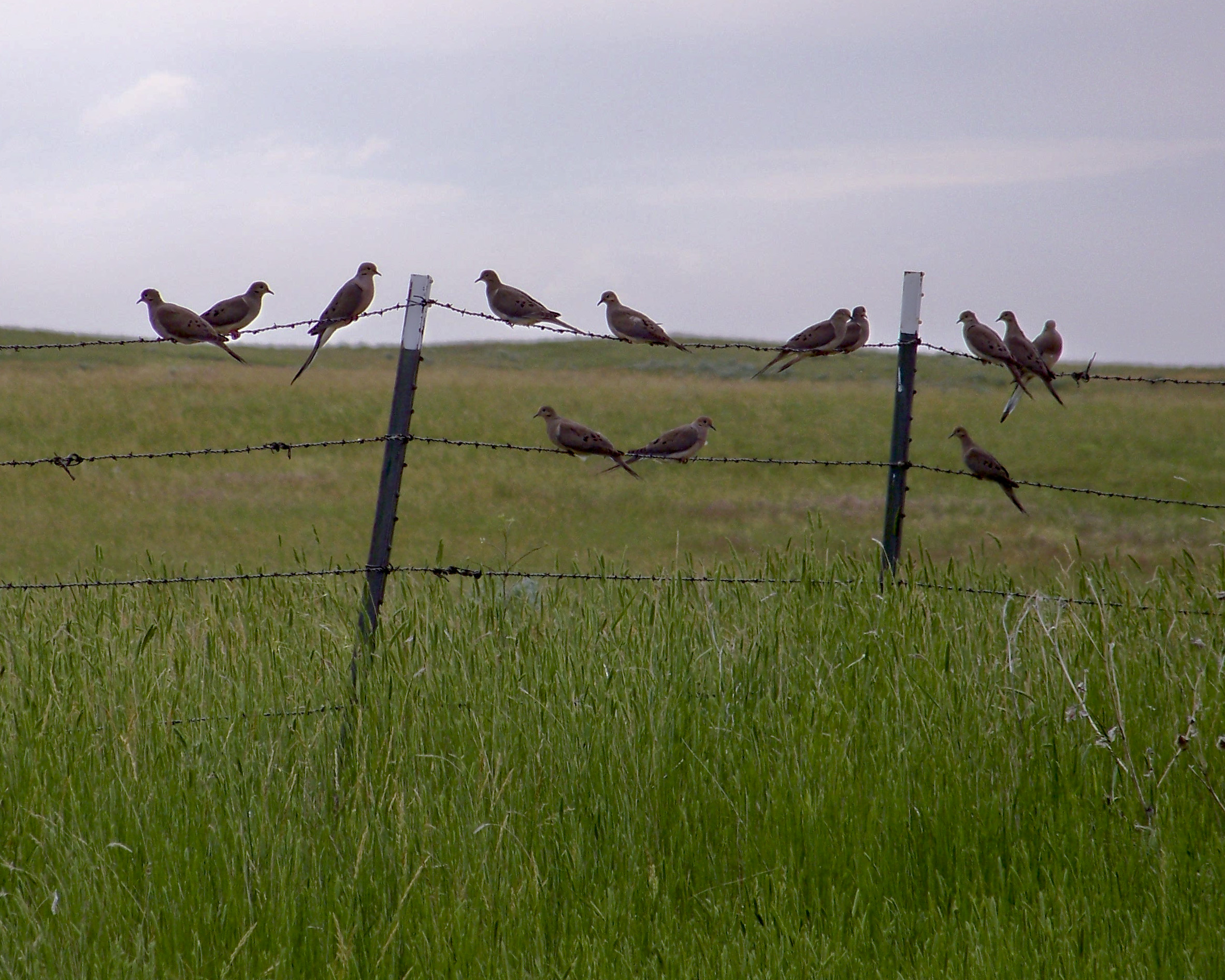
Hattie's North Fence Line
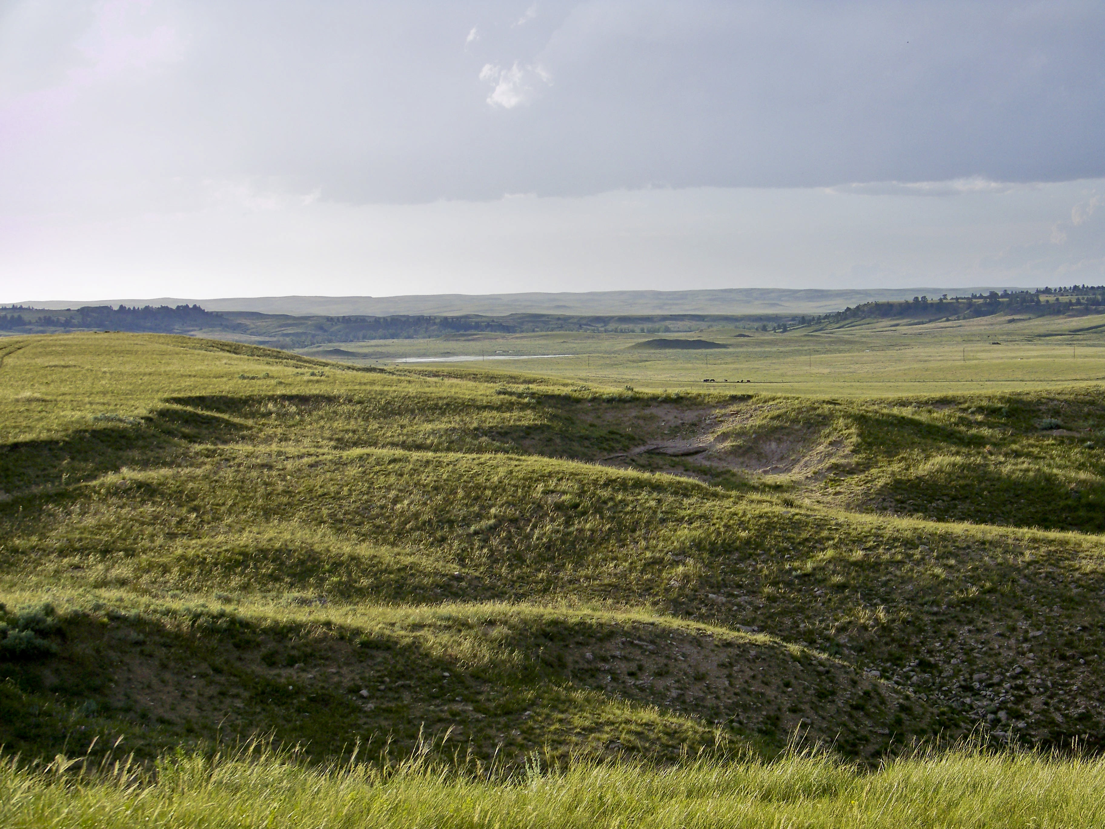
Where the buffalo used to roam

Post Office 82222 (Lance Creek, Wyoming)
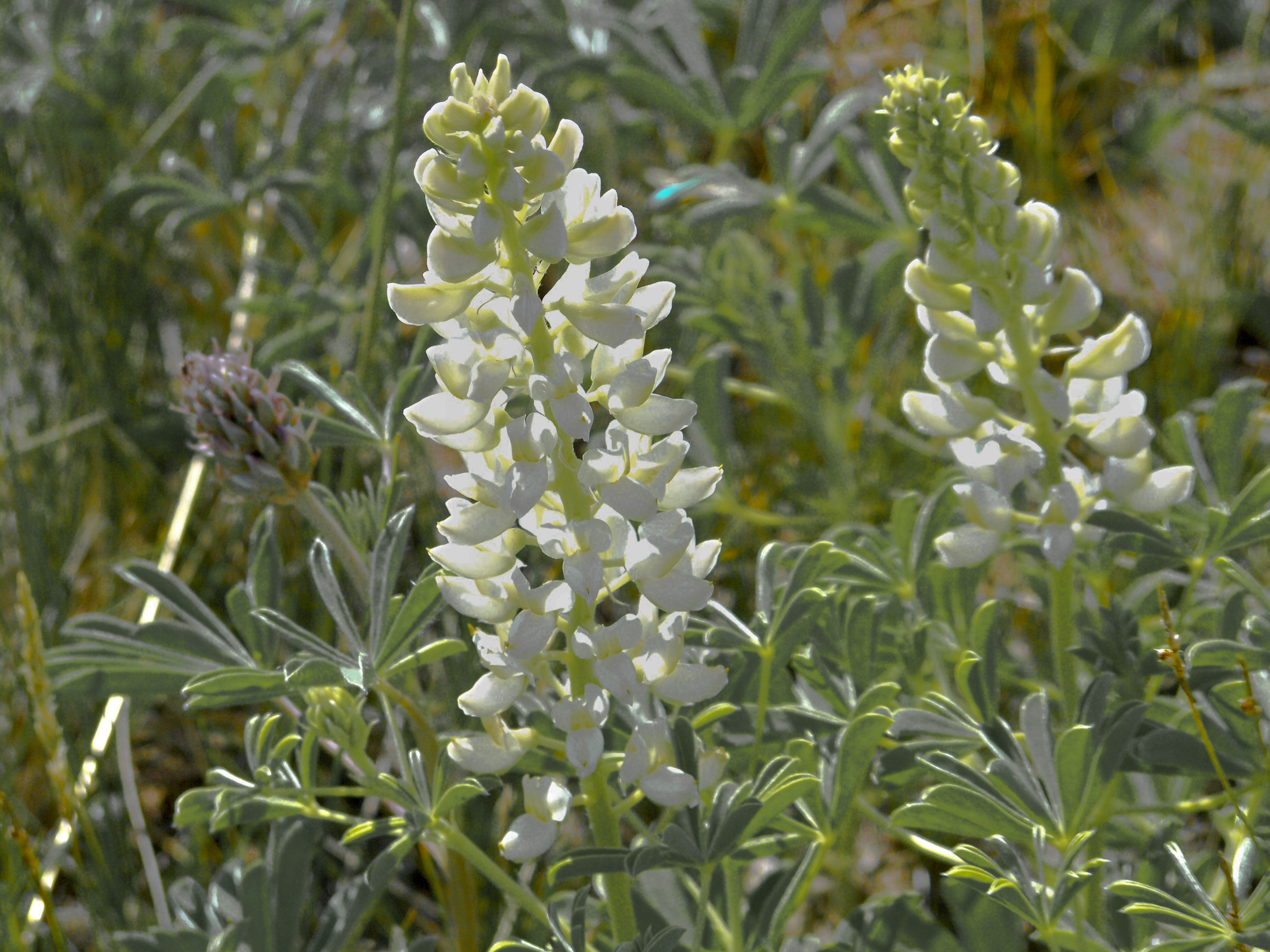
Lark spur - Sage Brush Prairie - Niobrara Co.
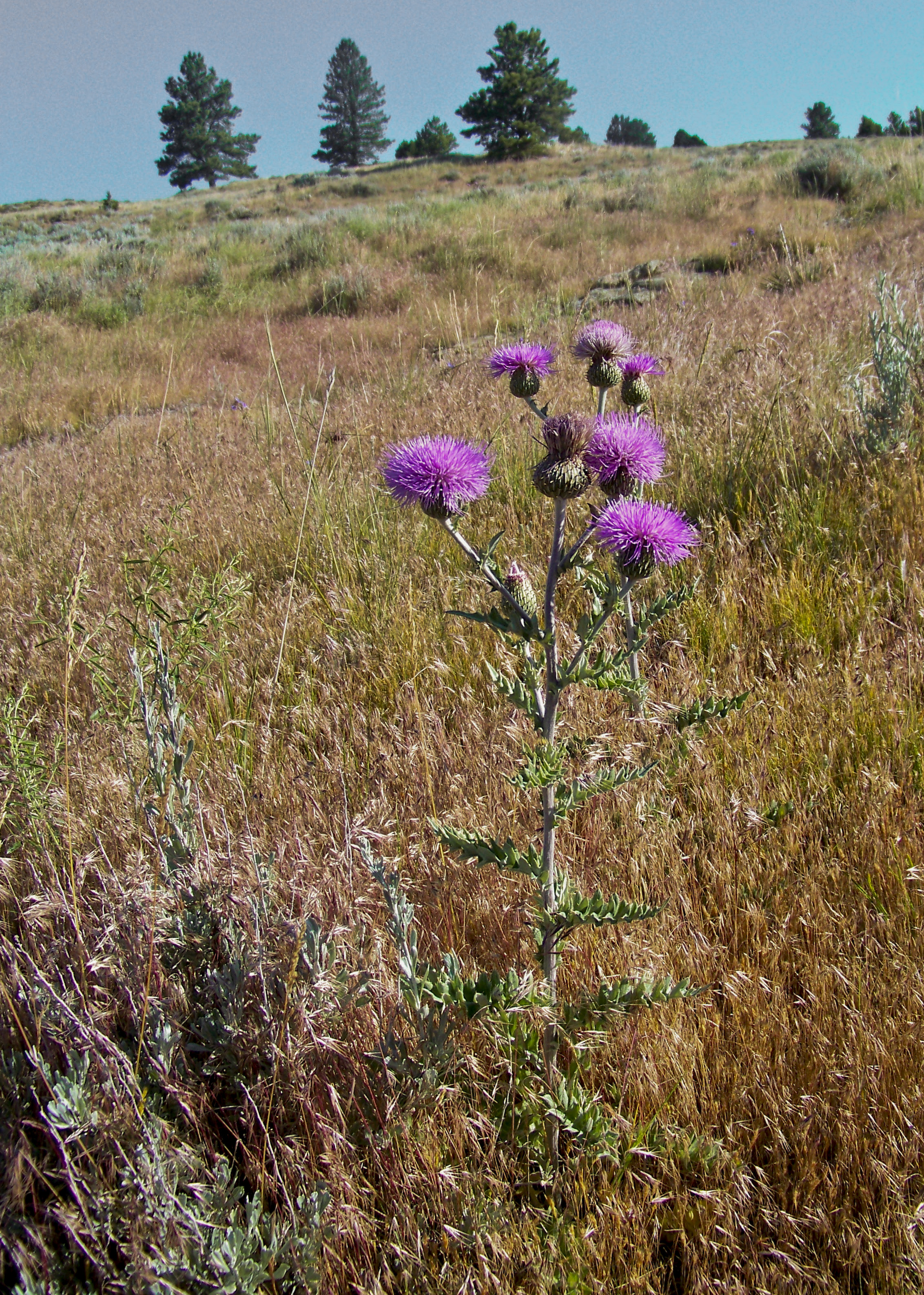
Thistle - Sage Brush Prairie - Niobrara Co.100_6521
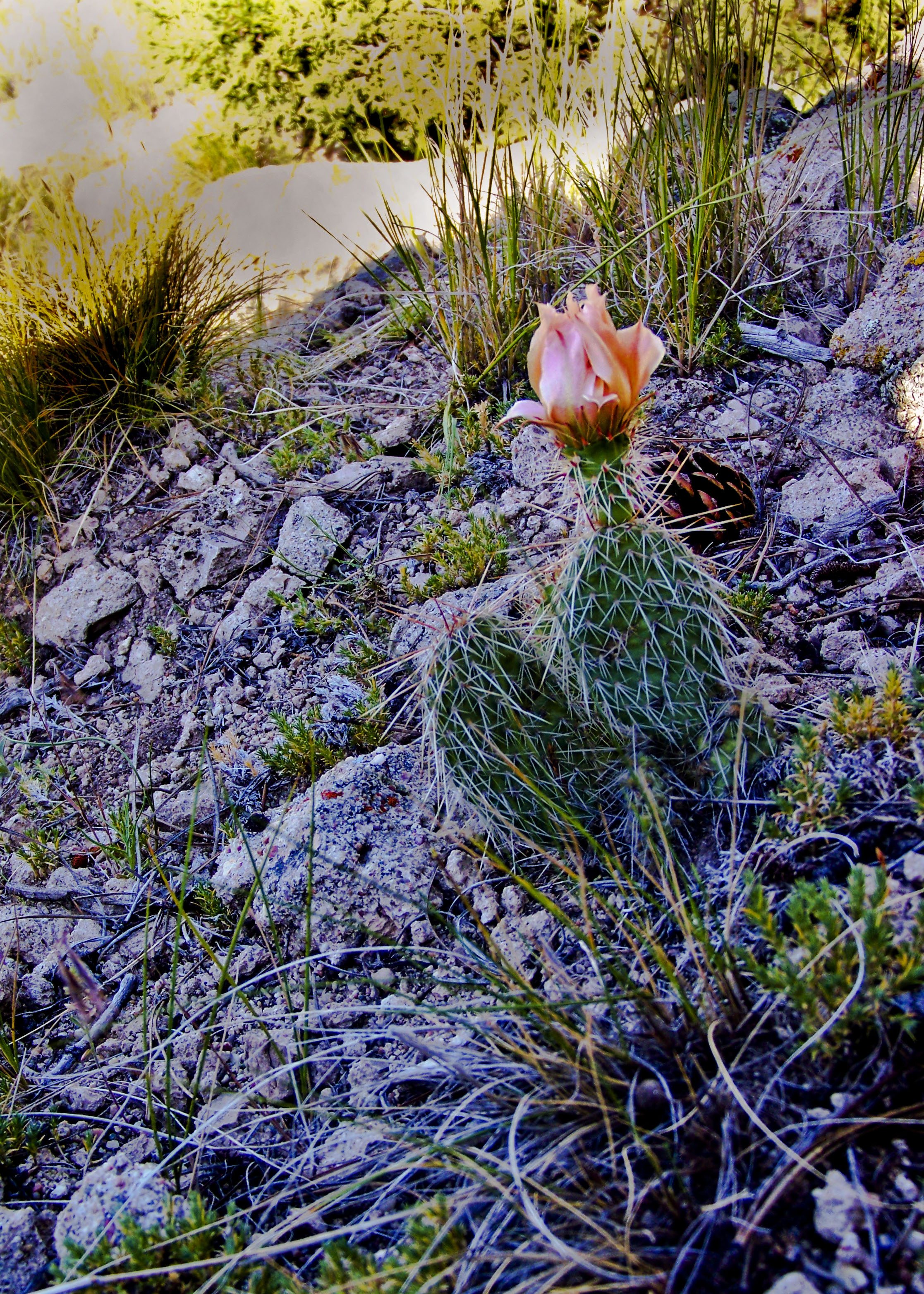
Prickley Pear Cactus - Sage Brush Prairie -Niobrara Co.
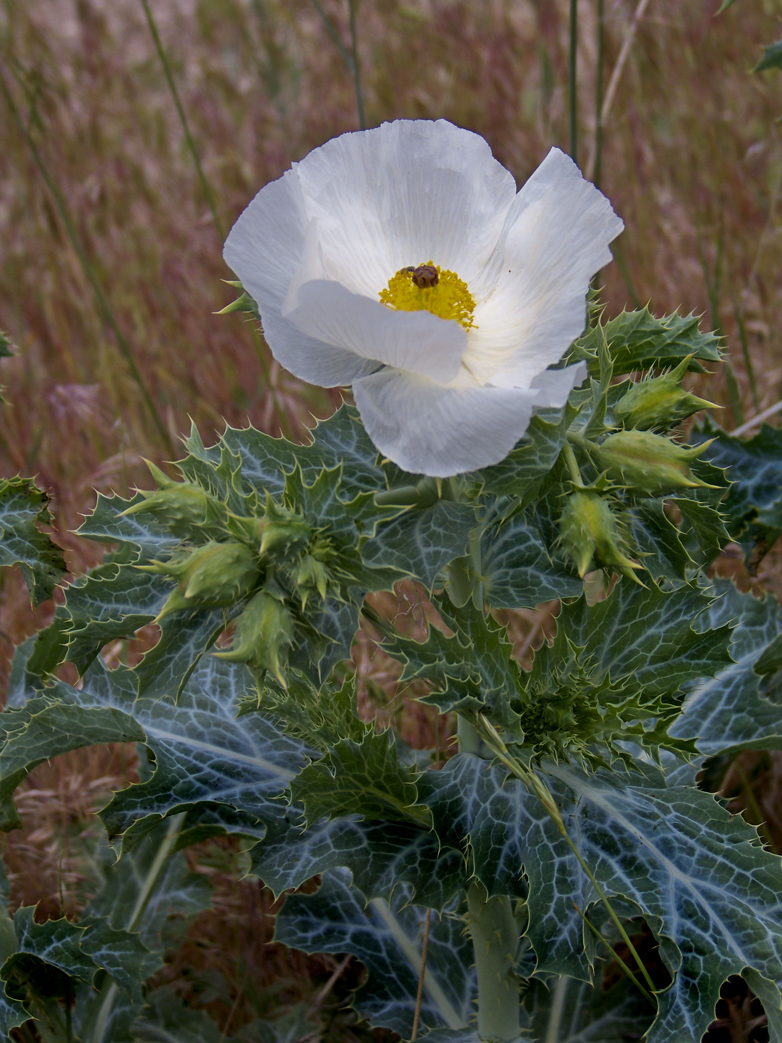
Prickley Poppy - Sage Brush Prairie -Niobrara Co.
Topographic Map of 20 Mile Rd, Lance Creek, WY, USA
Find elevation by address:

Places near 20 Mile Rd, Lance Creek, WY, USA:
Lance Creek
Niobrara County
Manville
Main St Lost Spring, Shawnee, WY, USA
S Main St, Lusk, WY, USA
Lusk
0 Cedar Top Rd
Unnamed Road
Bill
Bill
Orin
Glendo
Anvil Peak
Cassa Rd, Glendo, WY, USA
Converse County
Irvine Rd, Douglas, WY, USA
Hartville
Van Tassell
332 N 4th St
Douglas
Recent Searches:
- Elevation map of Greenland, Greenland
- Elevation of Sullivan Hill, New York, New York, 10002, USA
- Elevation of Morehead Road, Withrow Downs, Charlotte, Mecklenburg County, North Carolina, 28262, USA
- Elevation of 2800, Morehead Road, Withrow Downs, Charlotte, Mecklenburg County, North Carolina, 28262, USA
- Elevation of Yangbi Yi Autonomous County, Yunnan, China
- Elevation of Pingpo, Yangbi Yi Autonomous County, Yunnan, China
- Elevation of Mount Malong, Pingpo, Yangbi Yi Autonomous County, Yunnan, China
- Elevation map of Yongping County, Yunnan, China
- Elevation of North 8th Street, Palatka, Putnam County, Florida, 32177, USA
- Elevation of 107, Big Apple Road, East Palatka, Putnam County, Florida, 32131, USA
- Elevation of Jiezi, Chongzhou City, Sichuan, China
- Elevation of Chongzhou City, Sichuan, China
- Elevation of Huaiyuan, Chongzhou City, Sichuan, China
- Elevation of Qingxia, Chengdu, Sichuan, China
- Elevation of Corso Fratelli Cairoli, 35, Macerata MC, Italy
- Elevation of Tallevast Rd, Sarasota, FL, USA
- Elevation of 4th St E, Sonoma, CA, USA
- Elevation of Black Hollow Rd, Pennsdale, PA, USA
- Elevation of Oakland Ave, Williamsport, PA, USA
- Elevation of Pedrógão Grande, Portugal