Elevation of Manville, WY, USA
Location: United States > Wyoming > Niobrara County >
Longitude: -104.61773
Latitude: 42.7791337
Elevation: 1601m / 5253feet
Barometric Pressure: 84KPa
Elevation Map:
Satellite Map:
Related Photos:
IMG_0148 (3)
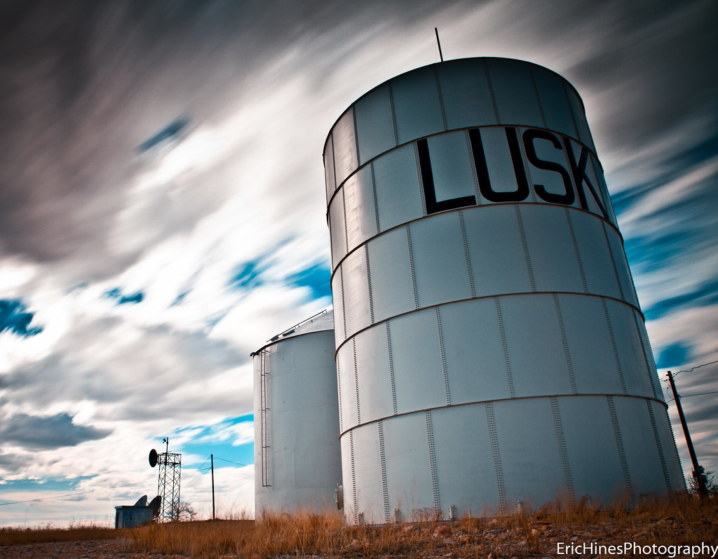
Lusk, Wyoming
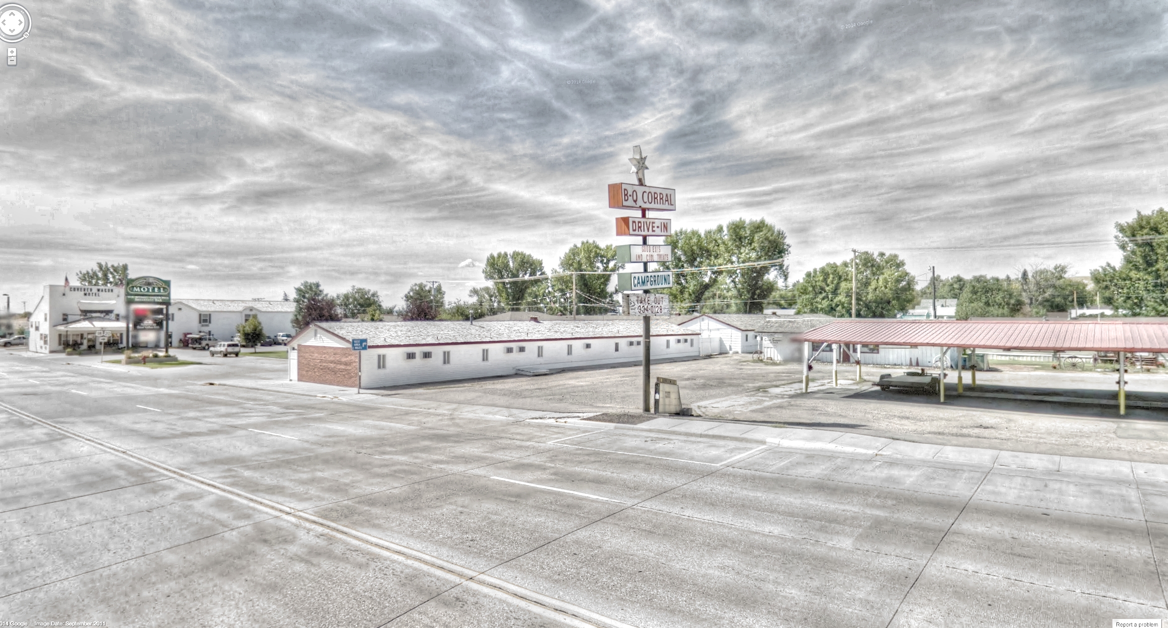
Google Street View - Pan-American Trek - Lusk, Wyoming
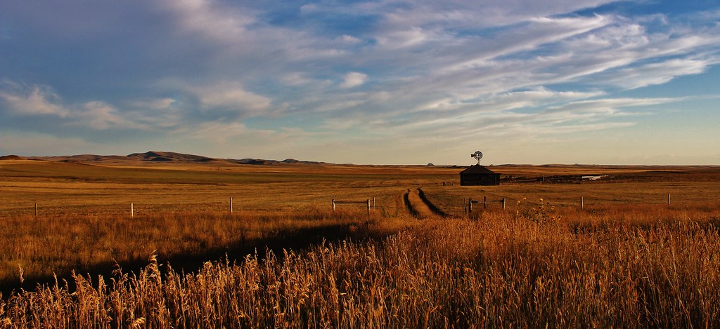
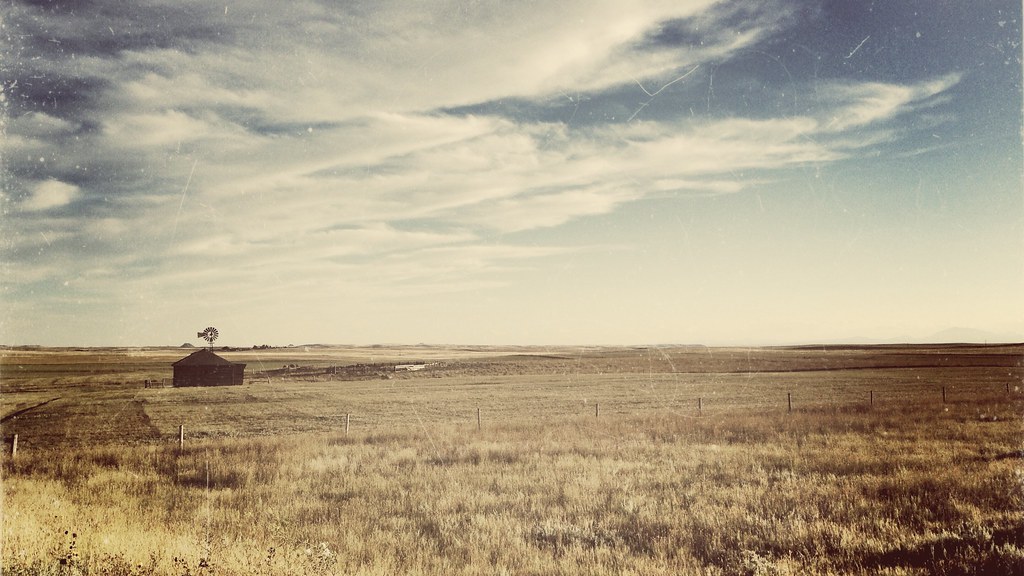
My Town - Manville WY
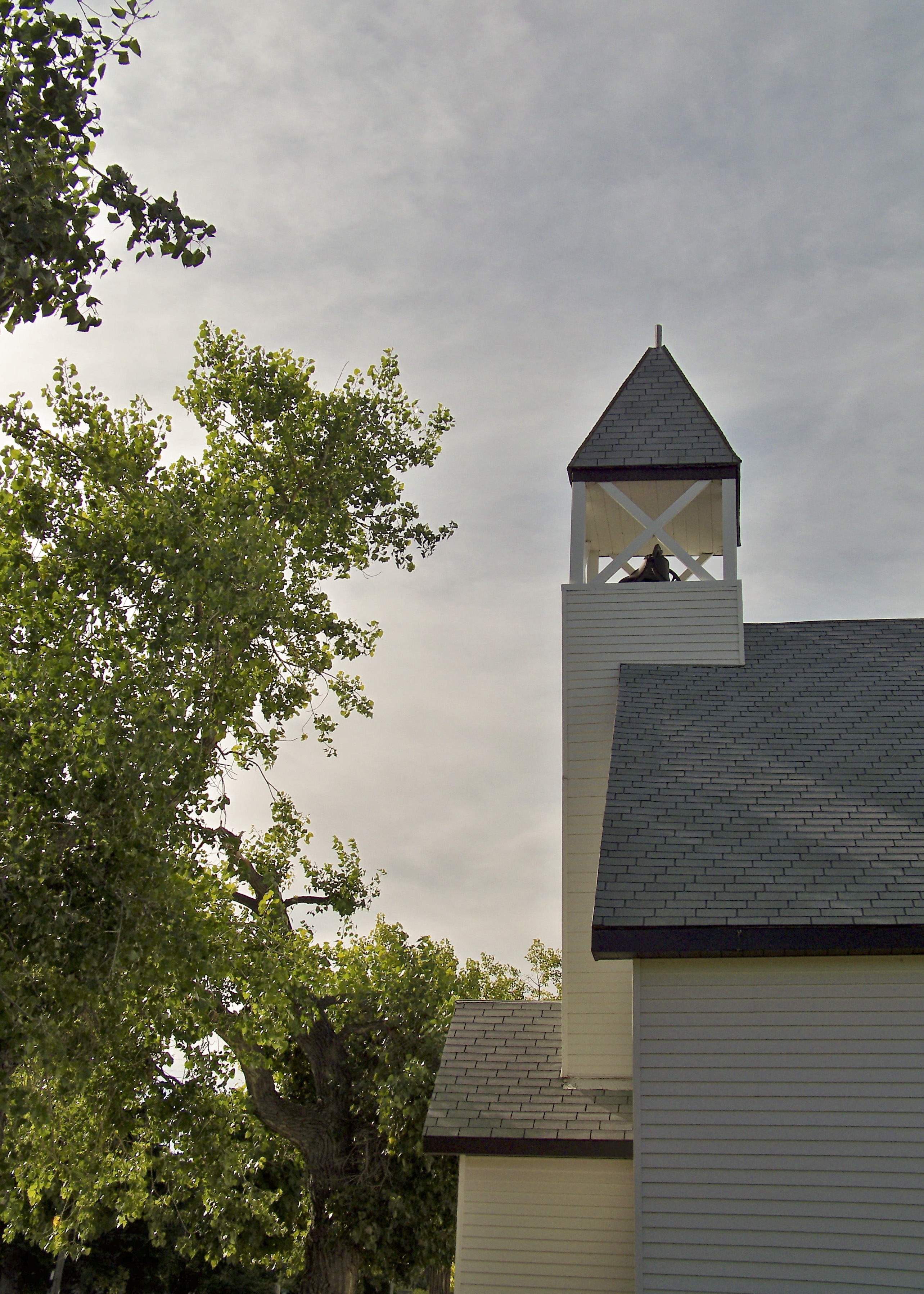
Community Church Manville, WY
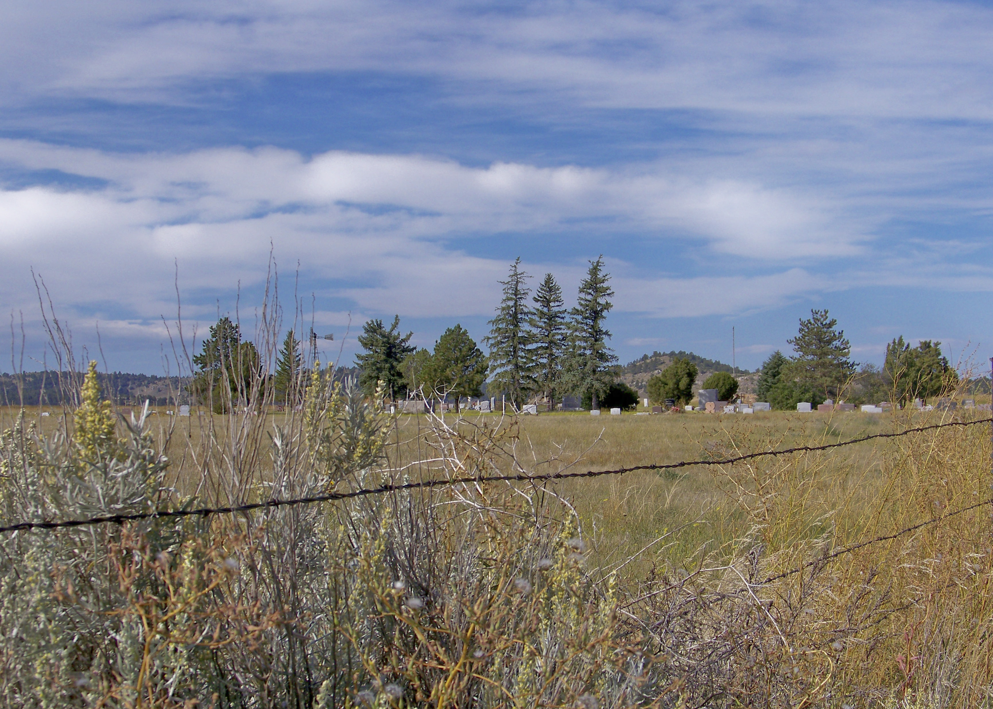
Del View Cemetary- Manville, WY_1
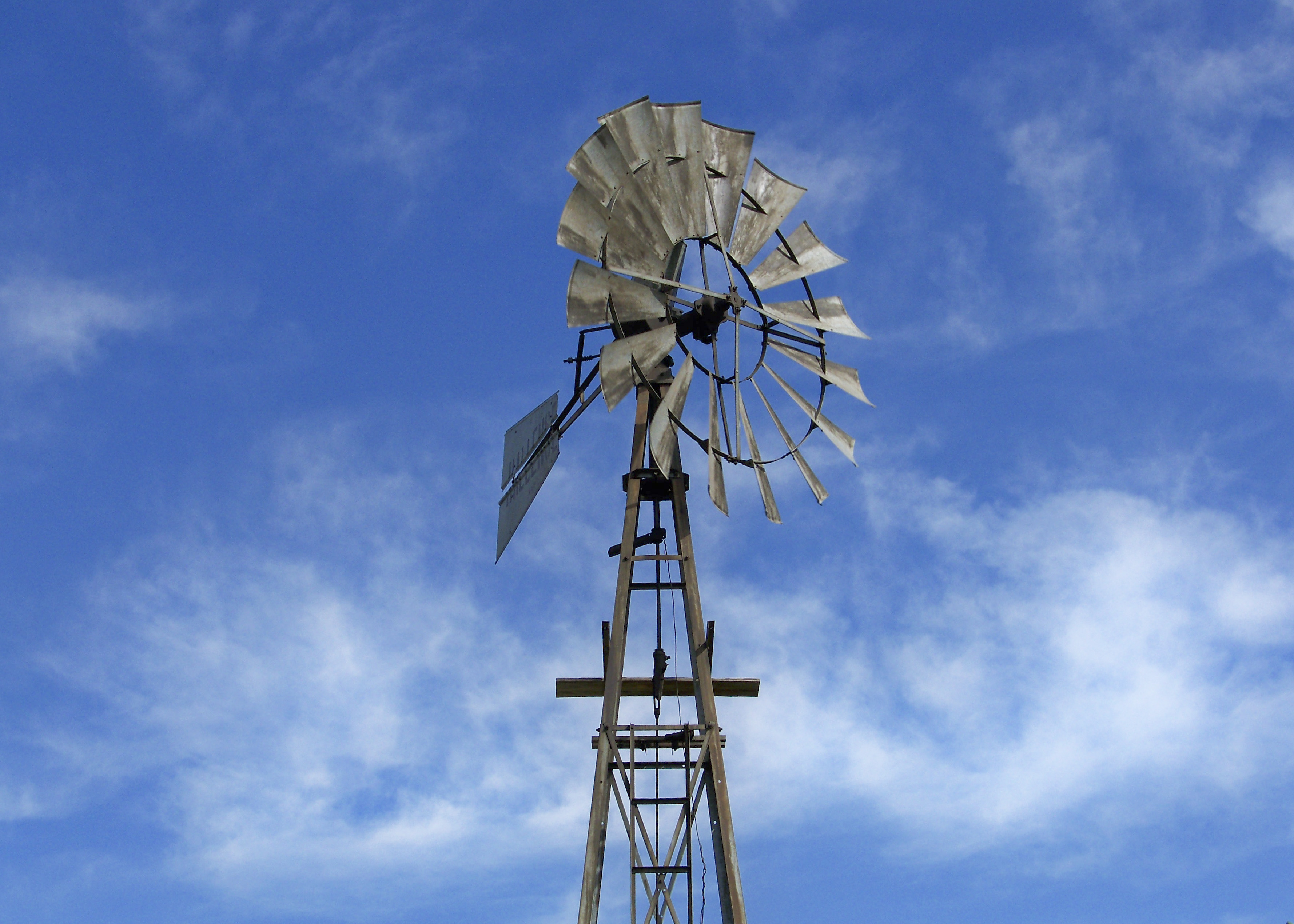
WESTERN WATER-
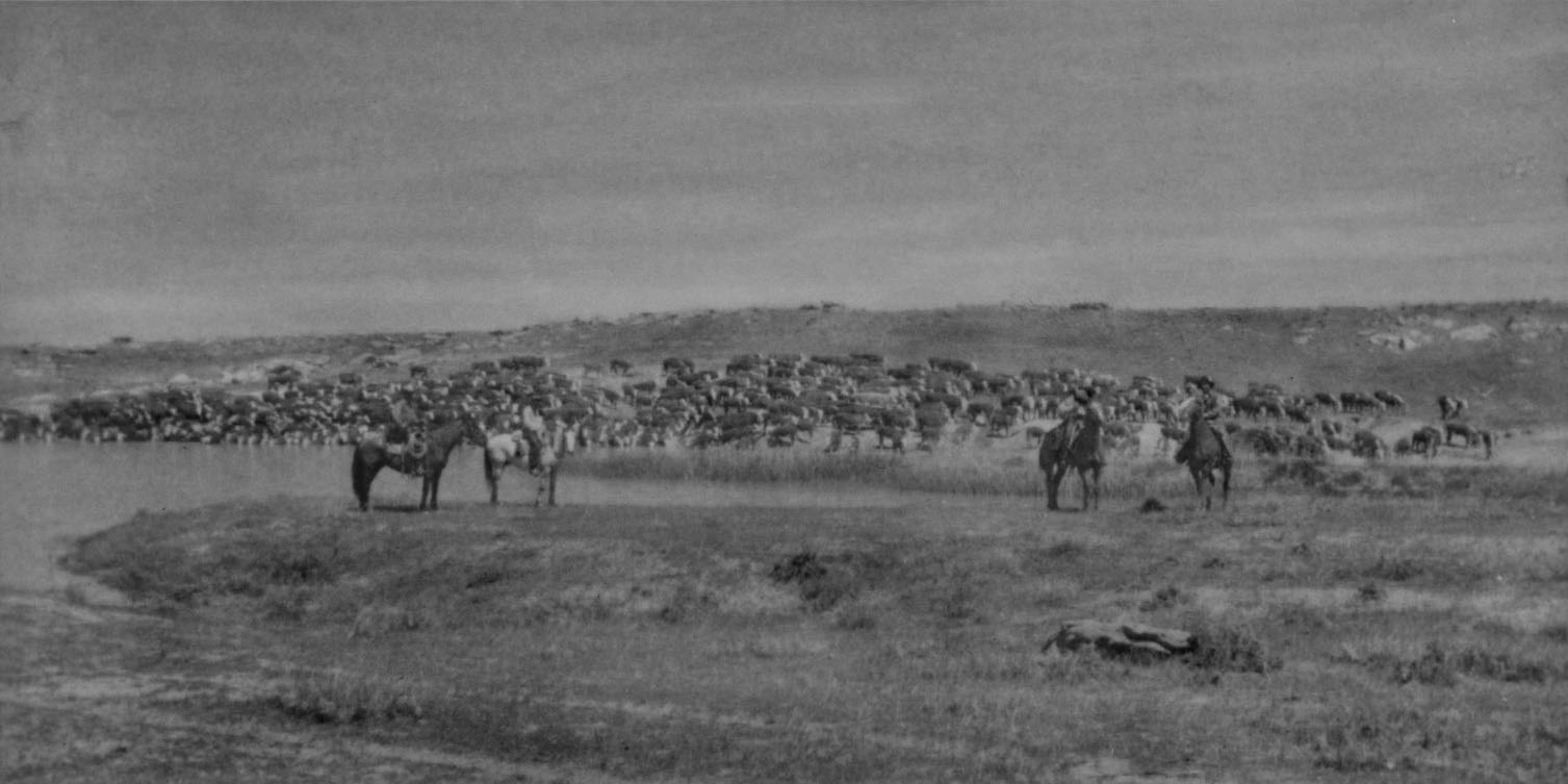
HORSESHOE RANCH -WATERING CATTLE LITTLE DIKE - copy unknown photographer
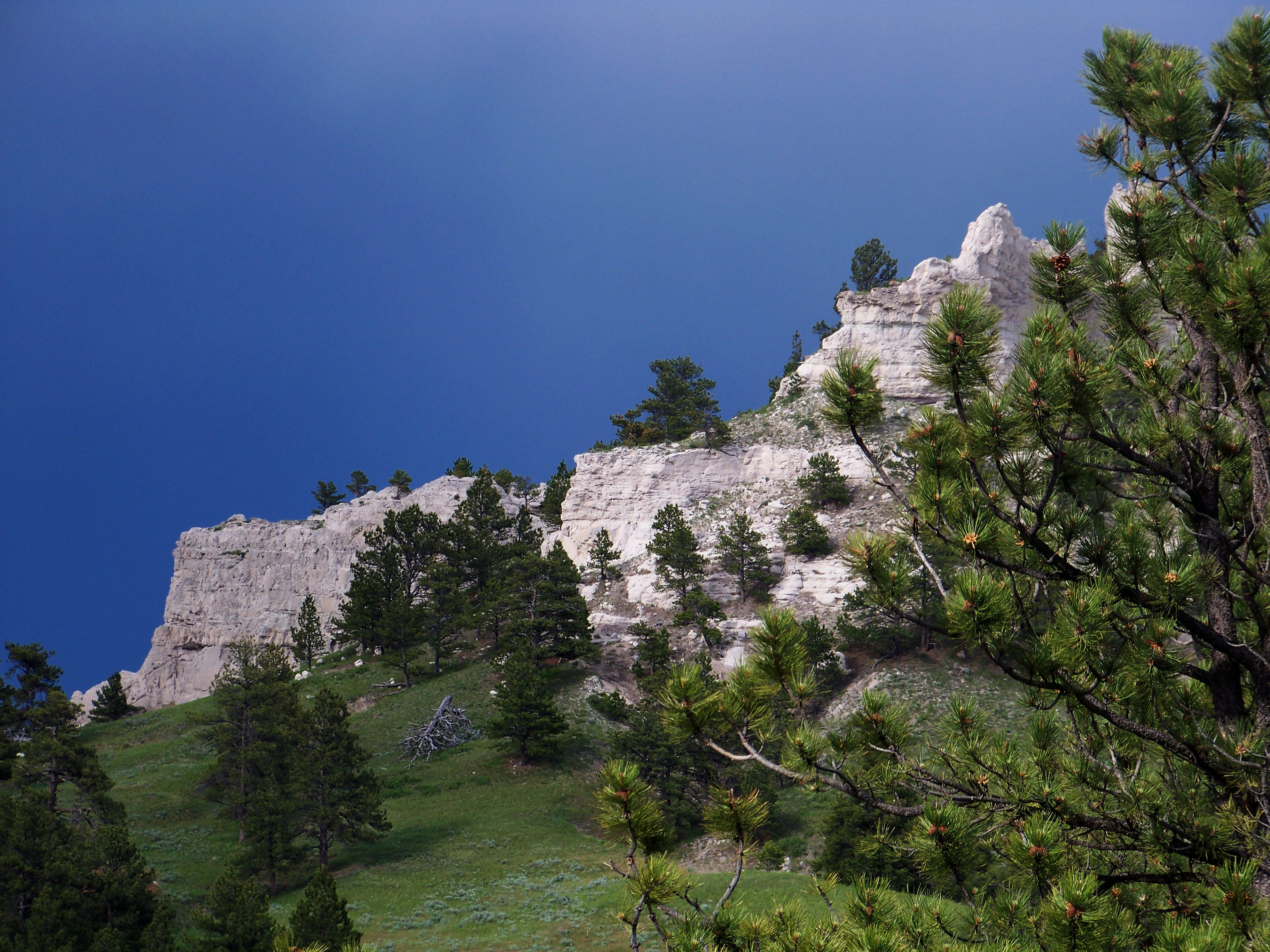
77 HILLS
iPhone Wyoming
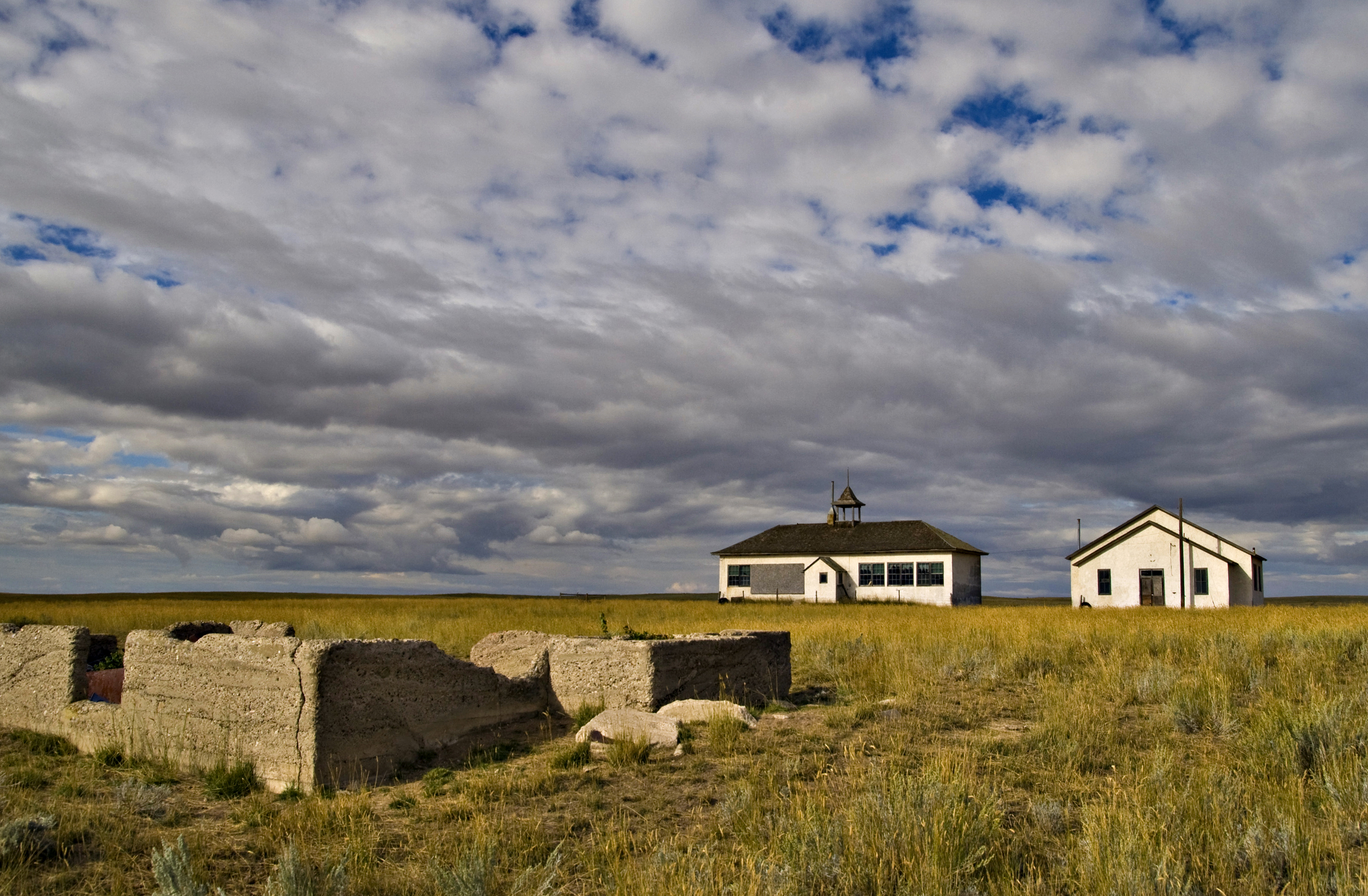
Old School

Old School ll
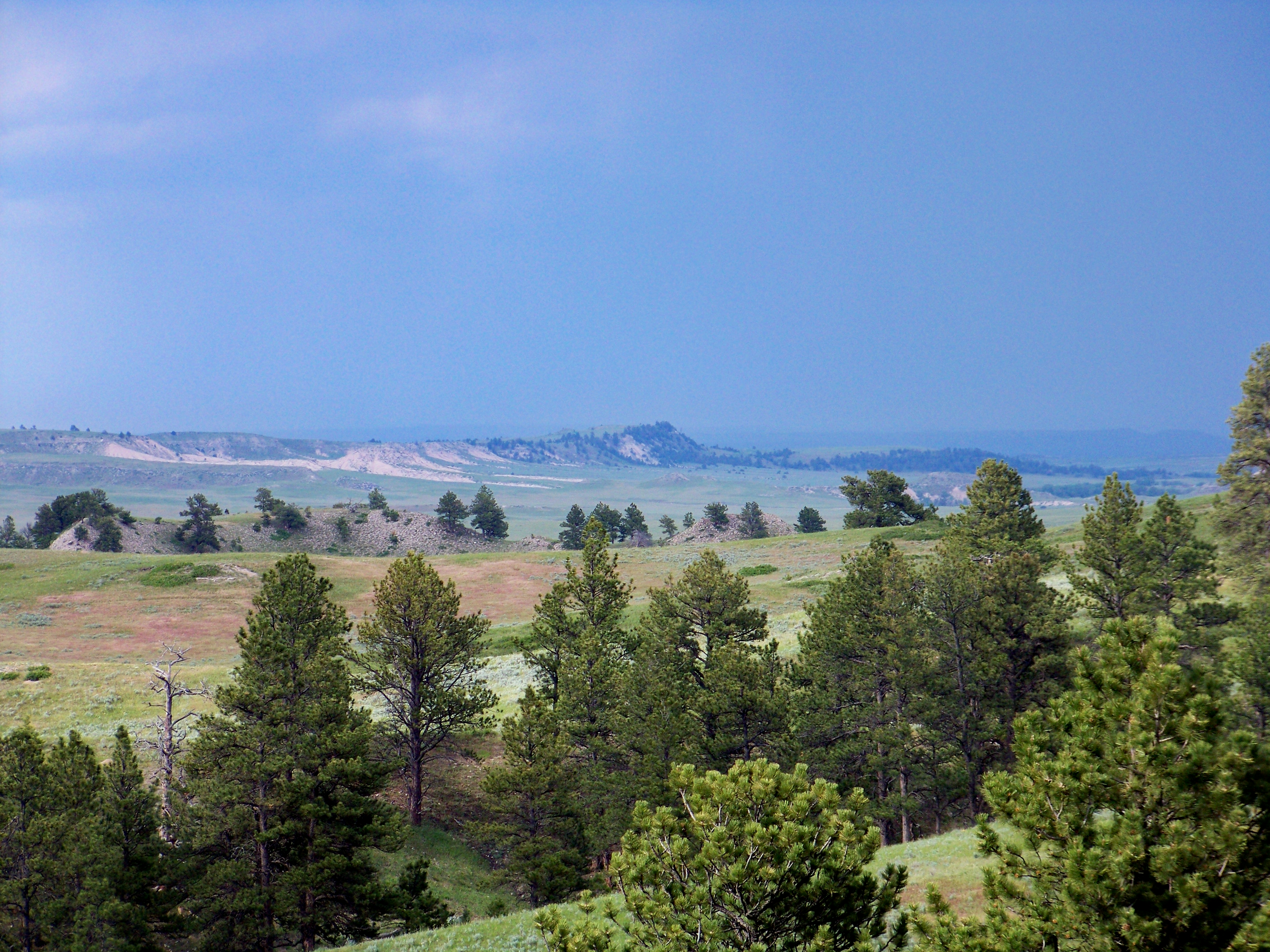
from the ridge
Topographic Map of Manville, WY, USA
Find elevation by address:

Places near Manville, WY, USA:
S Main St, Lusk, WY, USA
Lusk
0 Cedar Top Rd
Lance Creek
20 Mile Rd, Lance Creek, WY, USA
Niobrara County
Main St Lost Spring, Shawnee, WY, USA
Hartville
Glendo
Cassa Rd, Glendo, WY, USA
Guernsey State Park
Guernsey
18 S Wyoming Ave, Guernsey, WY, USA
50 Osprey Ln
Anvil Peak
Van Tassell
Big Moon Drive
Orin
Irvine Rd, Douglas, WY, USA
Unnamed Road
Recent Searches:
- Elevation of Luther Road, Luther Rd, Auburn, CA, USA
- Elevation of Unnamed Road, Respublika Severnaya Osetiya — Alaniya, Russia
- Elevation of Verkhny Fiagdon, North Ossetia–Alania Republic, Russia
- Elevation of F. Viola Hiway, San Rafael, Bulacan, Philippines
- Elevation of Herbage Dr, Gulfport, MS, USA
- Elevation of Lilac Cir, Haldimand, ON N3W 2G9, Canada
- Elevation of Harrod Branch Road, Harrod Branch Rd, Kentucky, USA
- Elevation of Wyndham Grand Barbados Sam Lords Castle All Inclusive Resort, End of Belair Road, Long Bay, Bridgetown Barbados
- Elevation of Iga Trl, Maggie Valley, NC, USA
- Elevation of N Co Rd 31D, Loveland, CO, USA