Elevation of Neal Rd, Wharton, TX, USA
Location: United States > Texas > Wharton County > Wharton >
Longitude: -96.047583
Latitude: 29.3045864
Elevation: 32m / 105feet
Barometric Pressure: 101KPa
Elevation Map:
Satellite Map:
Related Photos:

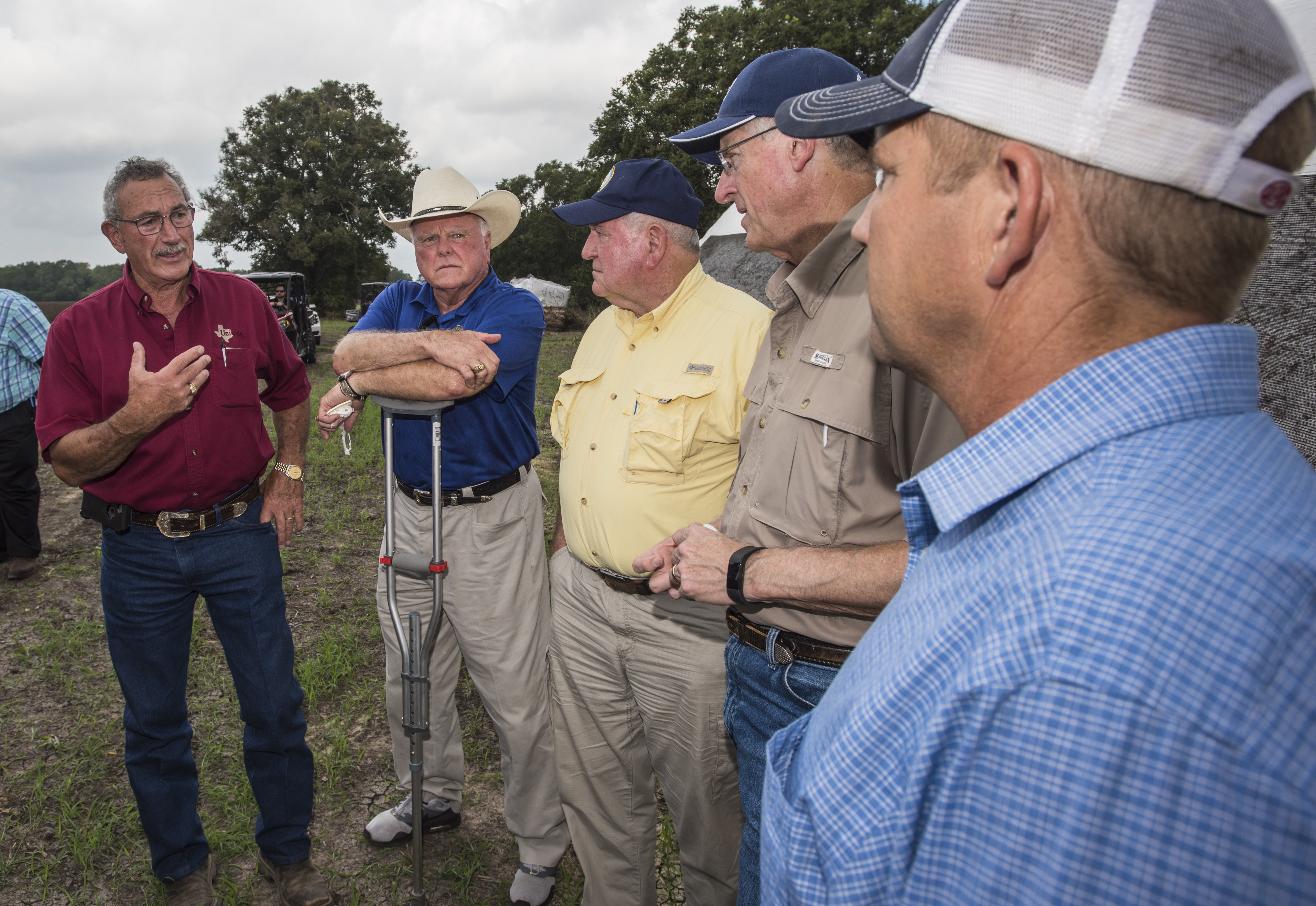
20170921-OSEC-LSC-0676

1948 Anglia Rear View

Cemetery and Abandoned Church

"MEATS"
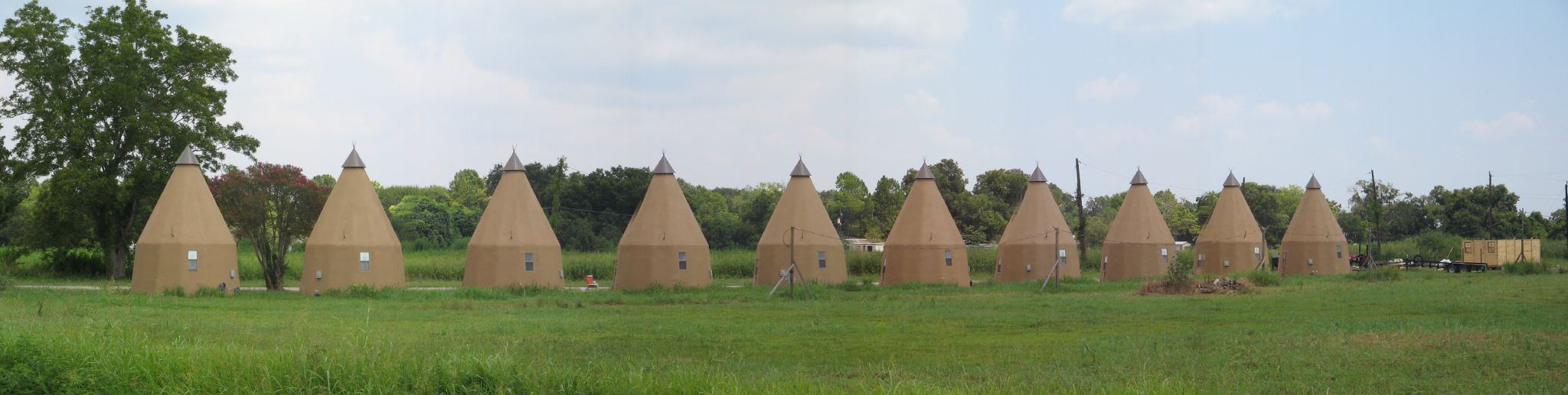
Line of Tee Pees

20170921-OSEC-LSC-0654

20170921-OSEC-LSC-0634

20170921-OSEC-LSC-0921

20170921-OSEC-LSC-0696

20170921-OSEC-LSC-0621
20170921-OSEC-LSC-0981
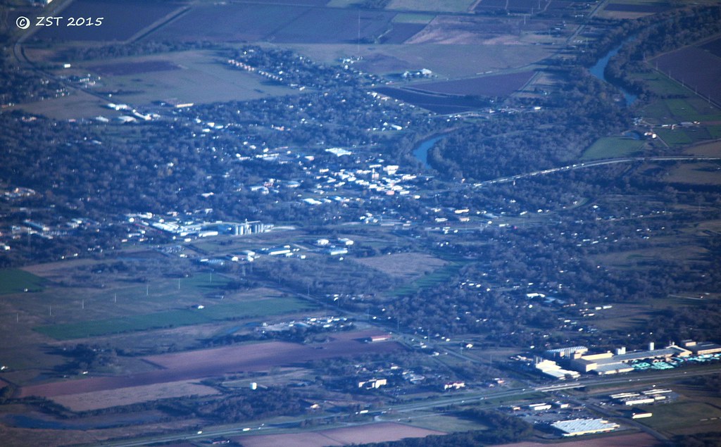
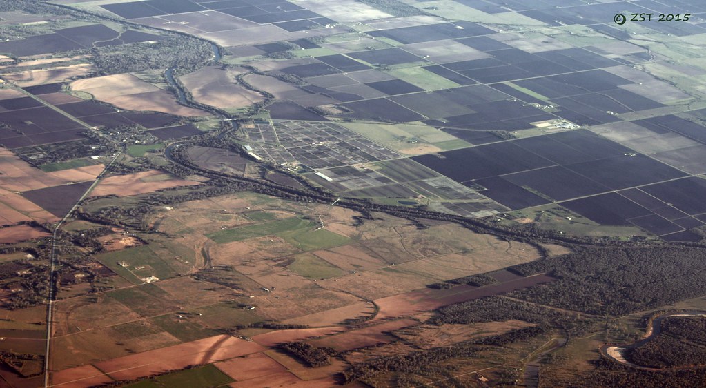
Wharton, TX

One place, three views

20170921-OSEC-LSC-0667

20170921-OSEC-LSC-0662

View from the Balcony
Glen Flora, TX
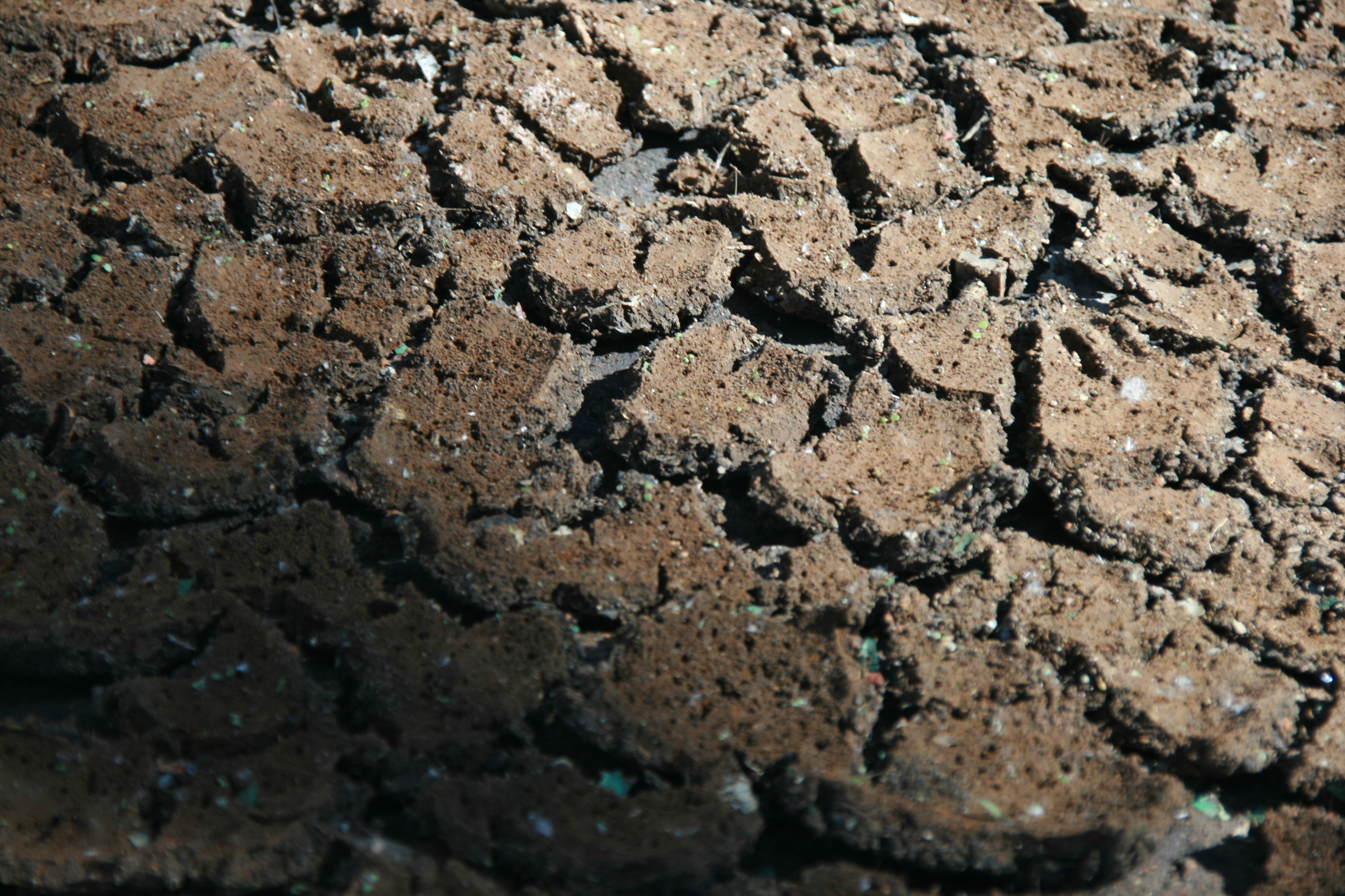
Textural Study
Topographic Map of Neal Rd, Wharton, TX, USA
Find elevation by address:

Places near Neal Rd, Wharton, TX, USA:
Knox Drive
Knox Drive
1010 Knox Ln
219 Caney Trails Dr
Fairway Drive
320 Old Caney Rd
4159 Co Rd 161
County Road 161
1818 Kelving Way Ct
1818 Kelving Way Ct
Croom Drive
2011 Briar Ln
2005 Tx-60
1823 Linwood Dr
810 Co Rd 133
1616 N Alabama Rd
810 Freedom Rd
1107 Wisteria Way
1107 Wisteria Way
1103 Wisteria Way
Recent Searches:
- Elevation of Elwyn Dr, Roanoke Rapids, NC, USA
- Elevation of Congressional Dr, Stevensville, MD, USA
- Elevation of Bellview Rd, McLean, VA, USA
- Elevation of Stage Island Rd, Chatham, MA, USA
- Elevation of Shibuya Scramble Crossing, 21 Udagawacho, Shibuya City, Tokyo -, Japan
- Elevation of Jadagoniai, Kaunas District Municipality, Lithuania
- Elevation of Pagonija rock, Kranto 7-oji g. 8"N, Kaunas, Lithuania
- Elevation of Co Rd 87, Jamestown, CO, USA
- Elevation of Tenjo, Cundinamarca, Colombia
- Elevation of Côte-des-Neiges, Montreal, QC H4A 3J6, Canada