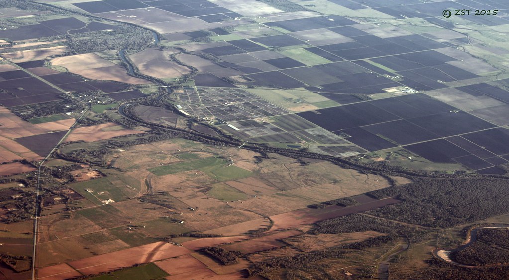
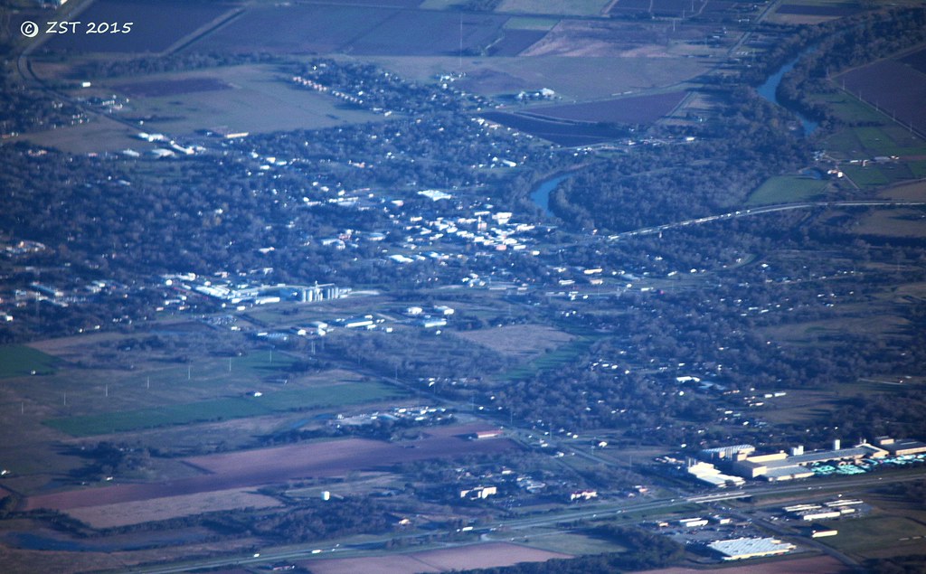
Elevation of Co Rd, Wharton, TX, USA
Location: United States > Texas > Wharton County > Wharton >
Longitude: -96.044580
Latitude: 29.3346325
Elevation: 27m / 89feet
Barometric Pressure: 101KPa
Elevation Map:
Satellite Map:
Related Photos:

"MEATS"

Line of Tee Pees

20170921-OSEC-LSC-0634

20170921-OSEC-LSC-0621

Cemetery and Abandoned Church

Two KCS locomotives, silhouette view

Hoppers at KCS Rosenberg Intermodal Terminal

20170921-OSEC-LSC-0662

View from the Balcony
Glen Flora, TX
Wharton, TX
20170921-OSEC-LSC-0012

Manifest freight in Kendleton TX

Switching at KCS Rosenberg Intermodal Terminal
Topographic Map of Co Rd, Wharton, TX, USA
Find elevation by address:

Places near Co Rd, Wharton, TX, USA:
County Road 161
810 Co Rd 133
810 Freedom Rd
1010 Knox Ln
114 Neal Rd
Knox Drive
Knox Drive
4021 Co Rd 135
219 Caney Trails Dr
Fairway Drive
320 Old Caney Rd
1818 Kelving Way Ct
1818 Kelving Way Ct
1616 N Alabama Rd
2011 Briar Ln
Croom Drive
1823 Linwood Dr
419 Helms Ave
2005 Tx-60
522 Davis St
Recent Searches:
- Elevation of Congressional Dr, Stevensville, MD, USA
- Elevation of Bellview Rd, McLean, VA, USA
- Elevation of Stage Island Rd, Chatham, MA, USA
- Elevation of Shibuya Scramble Crossing, 21 Udagawacho, Shibuya City, Tokyo -, Japan
- Elevation of Jadagoniai, Kaunas District Municipality, Lithuania
- Elevation of Pagonija rock, Kranto 7-oji g. 8"N, Kaunas, Lithuania
- Elevation of Co Rd 87, Jamestown, CO, USA
- Elevation of Tenjo, Cundinamarca, Colombia
- Elevation of Côte-des-Neiges, Montreal, QC H4A 3J6, Canada
- Elevation of Bobcat Dr, Helena, MT, USA