Elevation of Davis St, Wharton, TX, USA
Location: United States > Texas > Wharton County > Wharton >
Longitude: -96.094489
Latitude: 29.3110411
Elevation: 33m / 108feet
Barometric Pressure: 101KPa
Elevation Map:
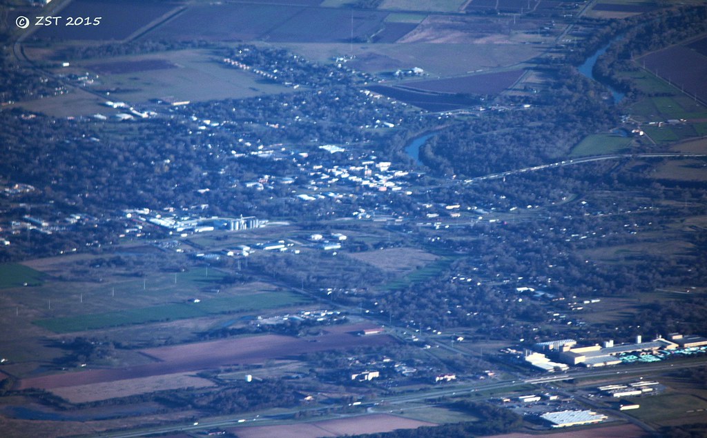
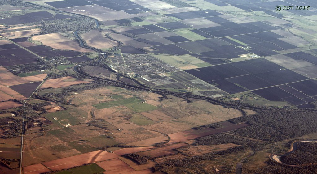
Satellite Map:
Related Photos:

Cemetery and Abandoned Church

"MEATS"

1948 Anglia Rear View
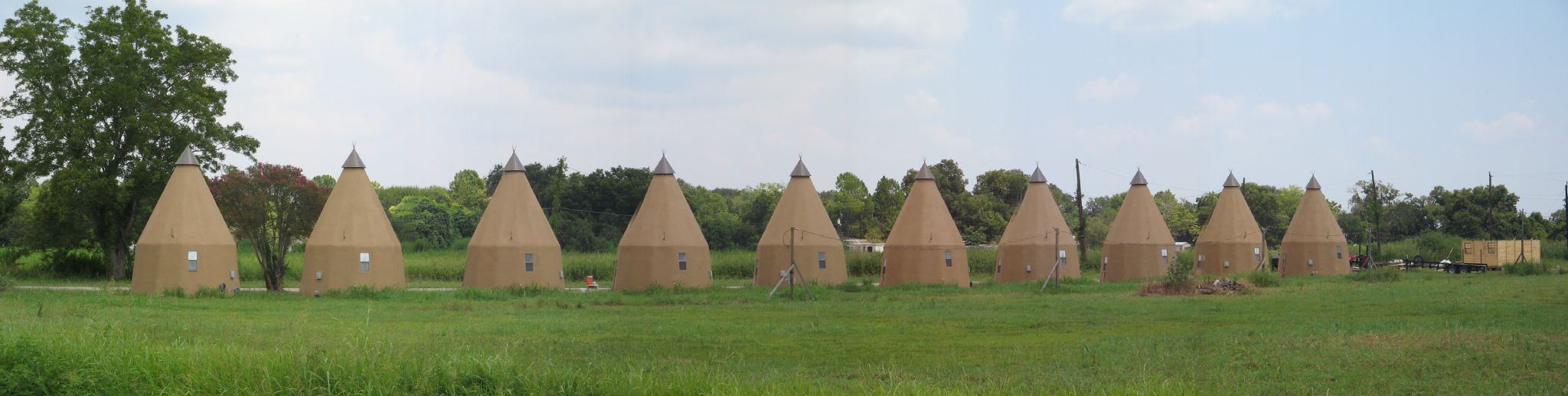
Line of Tee Pees
Wharton, TX

View from the Balcony
Glen Flora, TX

Round bales of hay near El Campo, Texas
Topographic Map of Davis St, Wharton, TX, USA
Find elevation by address:

Places near Davis St, Wharton, TX, USA:
522 Davis St
412 N Fulton St
143 E Burleson St
143 W Burleson St
S Polk St, Wharton, TX, USA
Wharton
314 W Burleson St
314 W Burleson St
1103 Wisteria Way
1103 Wisteria Way
1103 Wisteria Way
1107 Wisteria Way
1107 Wisteria Way
1823 Linwood Dr
2005 Tx-60
2011 Briar Ln
212 S Ford St
Croom Drive
1616 N Alabama Rd
419 Helms Ave
Recent Searches:
- Elevation of 12 Hutchinson Woods Dr, Fletcher, NC, USA
- Elevation of Holloway Ave, San Francisco, CA, USA
- Elevation of Norfolk, NY, USA
- Elevation of - San Marcos Pass Rd, Santa Barbara, CA, USA
- Elevation of th Pl SE, Issaquah, WA, USA
- Elevation of 82- D Rd, Captain Cook, HI, USA
- Elevation of Harlow CM20 2PR, UK
- Elevation of Shenyang Agricultural University, Dong Ling Lu, Shen He Qu, Shen Yang Shi, Liao Ning Sheng, China
- Elevation of Alpha Dr, Melbourne, FL, USA
- Elevation of Hiroshima University, 1-chōme-3-2 Kagamiyama, Higashihiroshima, Hiroshima -, Japan