Elevation of Wisteria Way, Wharton, TX, USA
Location: United States > Texas > Wharton County > Wharton >
Longitude: -96.092317
Latitude: 29.3010332
Elevation: 31m / 102feet
Barometric Pressure: 101KPa
Elevation Map:
Satellite Map:
Related Photos:

Cemetery and Abandoned Church

1948 Anglia Rear View

"MEATS"
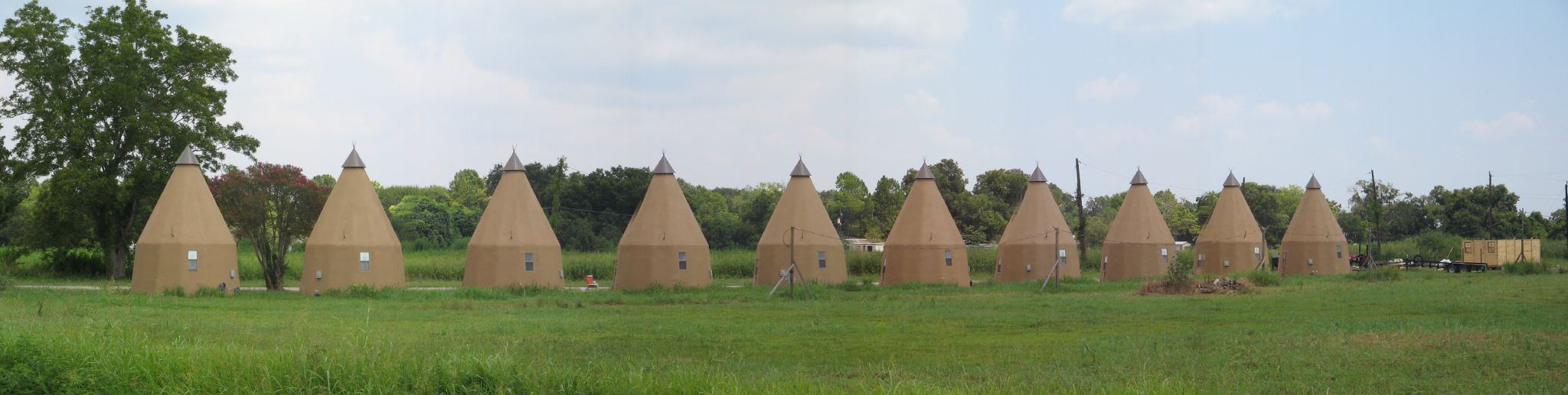
Line of Tee Pees
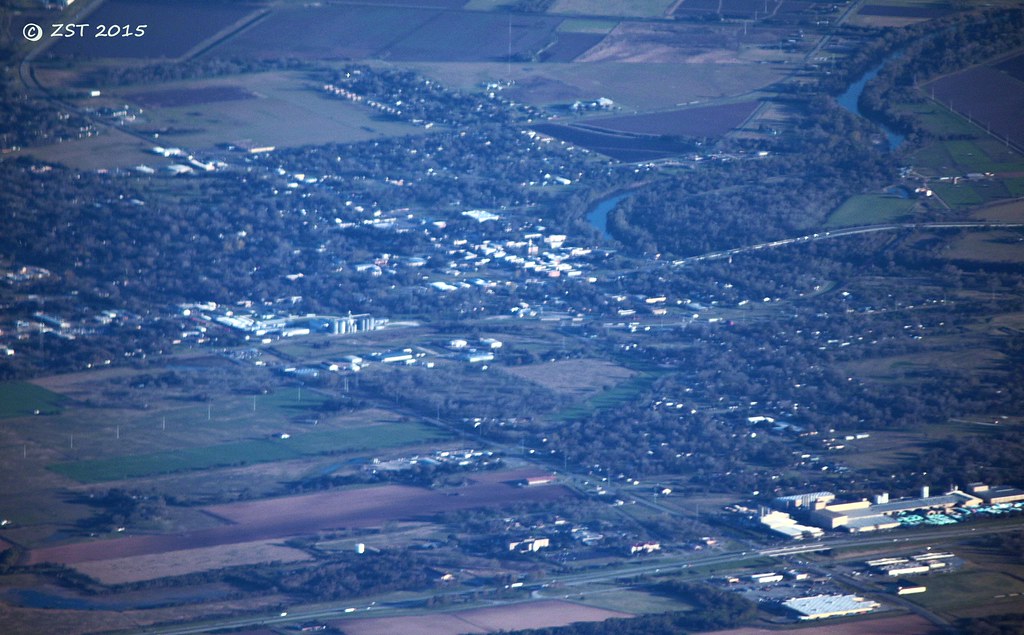
Wharton, TX

View from the Balcony
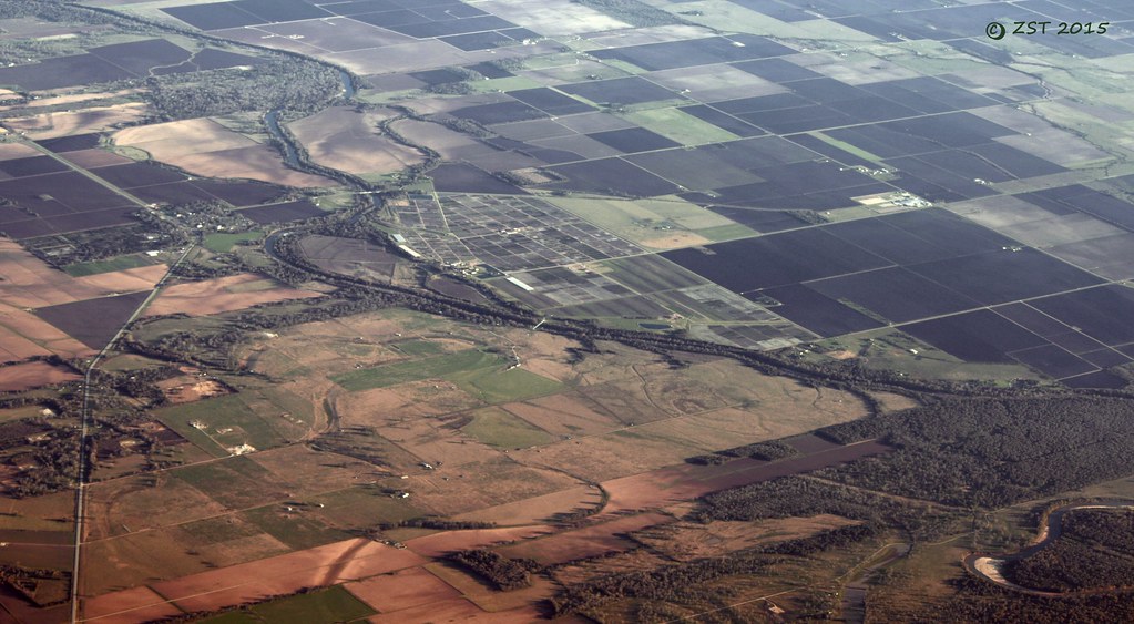
Glen Flora, TX

Round bales of hay near El Campo, Texas
Topographic Map of Wisteria Way, Wharton, TX, USA
Find elevation by address:

Places near Wisteria Way, Wharton, TX, USA:
1107 Wisteria Way
1103 Wisteria Way
1103 Wisteria Way
1103 Wisteria Way
522 Davis St
522 Davis St
2005 Tx-60
143 E Burleson St
143 W Burleson St
1823 Linwood Dr
Croom Drive
2011 Briar Ln
314 W Burleson St
314 W Burleson St
S Polk St, Wharton, TX, USA
412 N Fulton St
Wharton
1818 Kelving Way Ct
1818 Kelving Way Ct
212 S Ford St
Recent Searches:
- Elevation of Congressional Dr, Stevensville, MD, USA
- Elevation of Bellview Rd, McLean, VA, USA
- Elevation of Stage Island Rd, Chatham, MA, USA
- Elevation of Shibuya Scramble Crossing, 21 Udagawacho, Shibuya City, Tokyo -, Japan
- Elevation of Jadagoniai, Kaunas District Municipality, Lithuania
- Elevation of Pagonija rock, Kranto 7-oji g. 8"N, Kaunas, Lithuania
- Elevation of Co Rd 87, Jamestown, CO, USA
- Elevation of Tenjo, Cundinamarca, Colombia
- Elevation of Côte-des-Neiges, Montreal, QC H4A 3J6, Canada
- Elevation of Bobcat Dr, Helena, MT, USA