Elevation of Neal Hotsprings US Geothermal, Bully Creek Rd, Vale, OR, USA
Location: United States > Oregon > Malheur County > Vale >
Longitude: -117.46769
Latitude: 44.0233446
Elevation: 783m / 2569feet
Barometric Pressure: 92KPa
Elevation Map:
Satellite Map:
Related Photos:

Vale, Oregon

Vale, Oregon

Vale, Oregon

Eastern Oregon
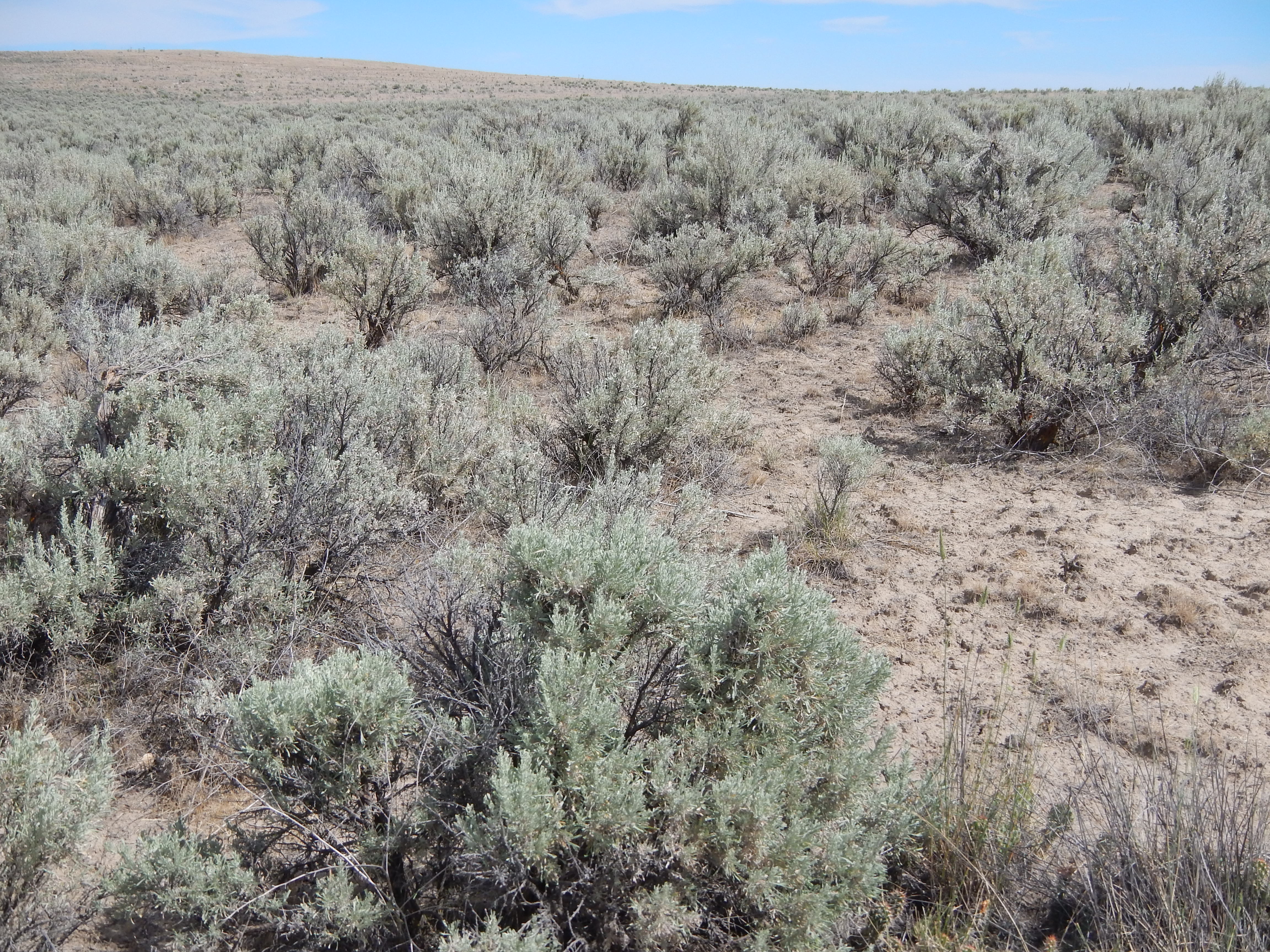
Sagebrush steppe in the area of Vale, Oregon

2009_07_18-19_51_50-IMG_1047

2009_07_18-19_42_08-IMG_1042

2009_07_18-19_41_38-IMG_1038

Leaf cutter bees 2

Leaf cutter bees 4

Leaf cutter bees 5

Leaf cutter bees 3

Leaf cutter bees 6

Leaf cutter bees 1

Abandoned Oregon Farm House

High Desert Farm House

High Desert Farm House

US-20 East - Malheur River

Rainy Drive

Vale OR

A big owl
Topographic Map of Neal Hotsprings US Geothermal, Bully Creek Rd, Vale, OR, USA
Find elevation by address:

Places near Neal Hotsprings US Geothermal, Bully Creek Rd, Vale, OR, USA:
Bully Creek Reservoir
4325 S Rd D
John Day Hwy, Brogan, OR, USA
Vale
1319 Foothill Dr
Captain Keeney Pass
Farewell Bend
Huntington
Interstate 84
1049 Grand Ave
2221 Kurtz Rd
1017 Mendiola Rd
Dixie
Conductor Rd, Huntington, OR, USA
927 Conductor Rd
Ontario Heights Rd, Ontario, OR, USA
770 River Bend Ln
57 Nw 16th St
Weatherby
Adrian
Recent Searches:
- Elevation of Congressional Dr, Stevensville, MD, USA
- Elevation of Bellview Rd, McLean, VA, USA
- Elevation of Stage Island Rd, Chatham, MA, USA
- Elevation of Shibuya Scramble Crossing, 21 Udagawacho, Shibuya City, Tokyo -, Japan
- Elevation of Jadagoniai, Kaunas District Municipality, Lithuania
- Elevation of Pagonija rock, Kranto 7-oji g. 8"N, Kaunas, Lithuania
- Elevation of Co Rd 87, Jamestown, CO, USA
- Elevation of Tenjo, Cundinamarca, Colombia
- Elevation of Côte-des-Neiges, Montreal, QC H4A 3J6, Canada
- Elevation of Bobcat Dr, Helena, MT, USA