Elevation of Foothill Dr, Vale, OR, USA
Location: United States > Oregon > Malheur County > Vale >
Longitude: -117.16813
Latitude: 44.0032973
Elevation: 678m / 2224feet
Barometric Pressure: 93KPa
Elevation Map:
Satellite Map:
Related Photos:
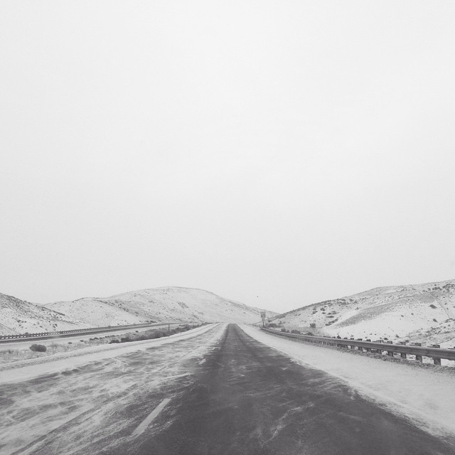
Well, we have been driving for hours through the sleet and snow and will most likely miss our flight. The silver lining is this beautiful view and the fact that we can see the road again! ❄️????⛄️☁️

DSC_0134 (2) - Copy

DSC_0128 (2)

DSC_0134 (2)

DSC_0139 (3) - Copy

DSC_0133 (1)

DSC_0139 (2) - Copy

DSC_0138 (2) - Copy

Malheur Butte

DSC_0138 (3)

DSC_0139 - Copy

DSC_0138 - Copy

DSC_0140 (3)

DSC_0138 (1)

DSC_0124 (1)

DSC_0140 - Copy
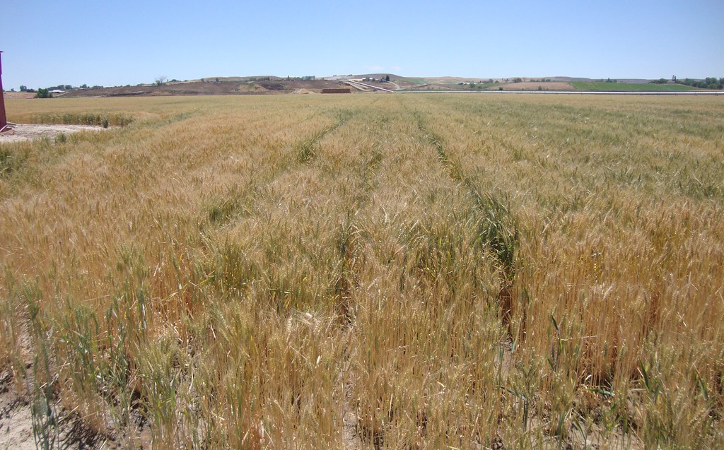
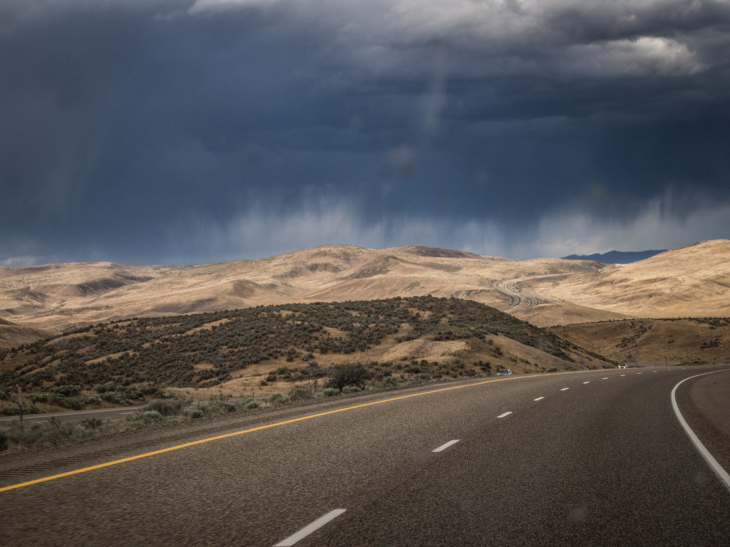
Malheur River Valley Wheat Field (Malheur County, Oregon)
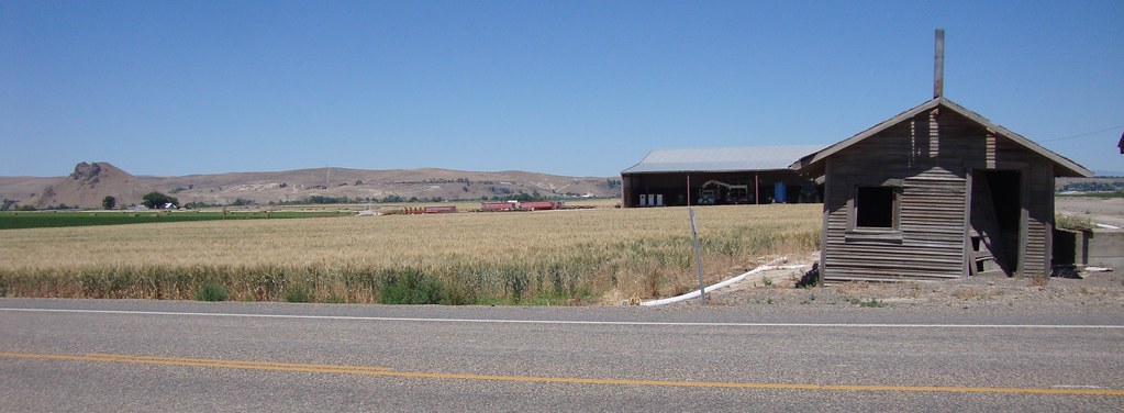
Malheur River Valley (Malheur County, Oregon)
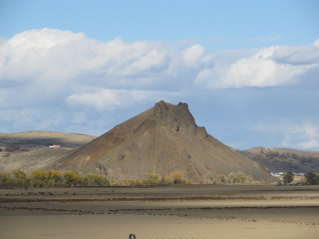
Malheur Butte - an extinct volcano
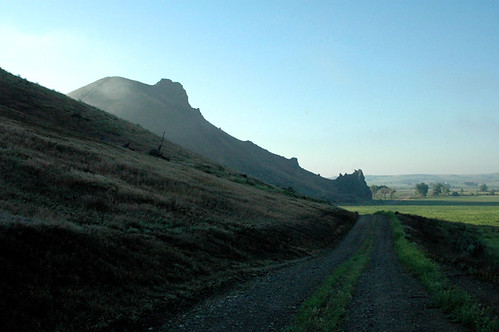
Malheur Butte, Oregon
Road Trip 2013: Heading Home
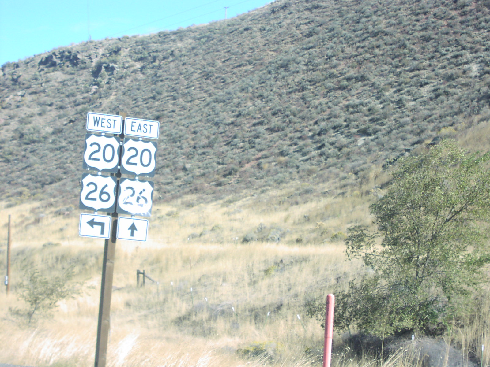
US-20/US-26 East in Vale
Topographic Map of Foothill Dr, Vale, OR, USA
Find elevation by address:

Places near Foothill Dr, Vale, OR, USA:
Vale
Captain Keeney Pass
4325 S Rd D
Ontario Heights Rd, Ontario, OR, USA
1049 Grand Ave
57 Nw 16th St
Idaho Elks Hearing And Balance Center: Ontario
2317 Nw 11th St
Onion Ave, Ontario, OR, USA
517 Sw 2nd St
Ontario
4655 Hyline Rd
Southeast 1st Avenue
Nyssa
Ramey
1120 N 6th St
1273 Spring Creek Ln
Payette
602 W 1st St
NW 16th St, Fruitland, ID, USA
Recent Searches:
- Elevation of Tenjo, Cundinamarca, Colombia
- Elevation of Côte-des-Neiges, Montreal, QC H4A 3J6, Canada
- Elevation of Bobcat Dr, Helena, MT, USA
- Elevation of Zu den Ihlowbergen, Althüttendorf, Germany
- Elevation of Badaber, Peshawar, Khyber Pakhtunkhwa, Pakistan
- Elevation of SE Heron Loop, Lincoln City, OR, USA
- Elevation of Slanický ostrov, 01 Námestovo, Slovakia
- Elevation of Spaceport America, Co Rd A, Truth or Consequences, NM, USA
- Elevation of Warwick, RI, USA
- Elevation of Fern Rd, Whitmore, CA, USA