Elevation of NC-, Grantsboro, NC, USA
Location: United States > North Carolina > Pamlico County > > Grantsboro >
Longitude: -76.840892
Latitude: 35.133066
Elevation: 12m / 39feet
Barometric Pressure: 101KPa
Elevation Map:
Satellite Map:
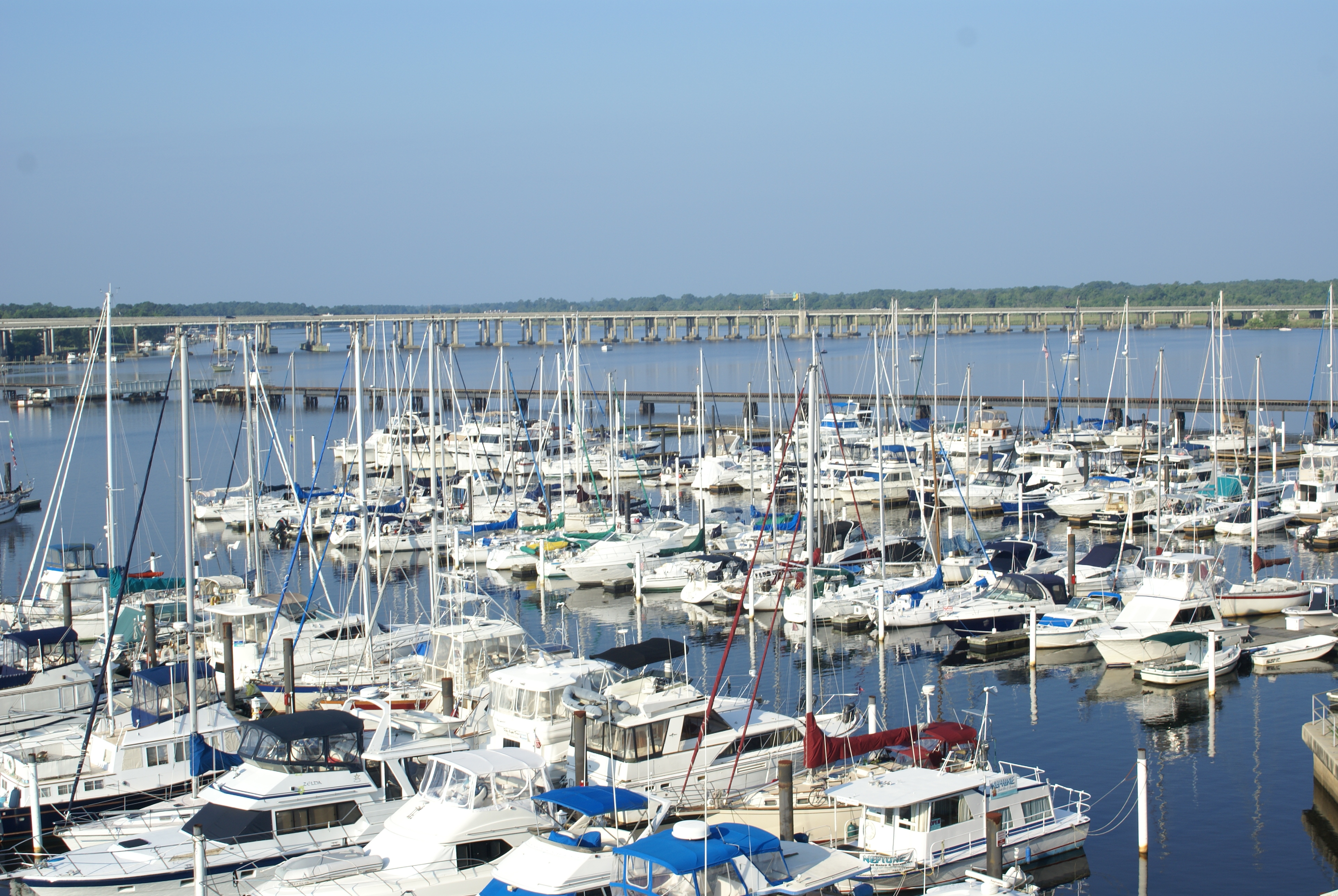
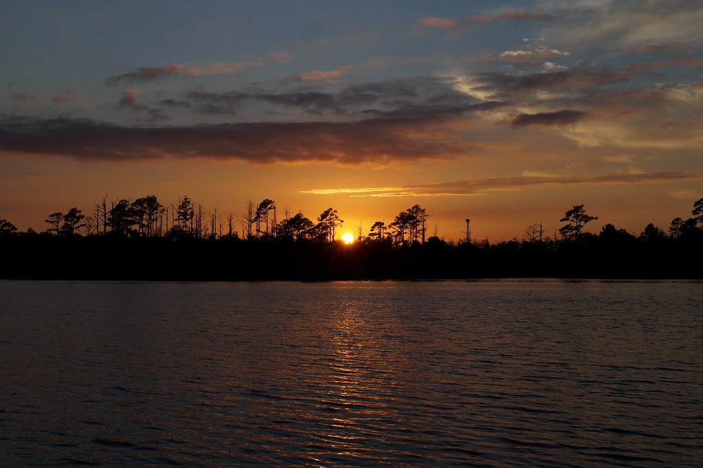
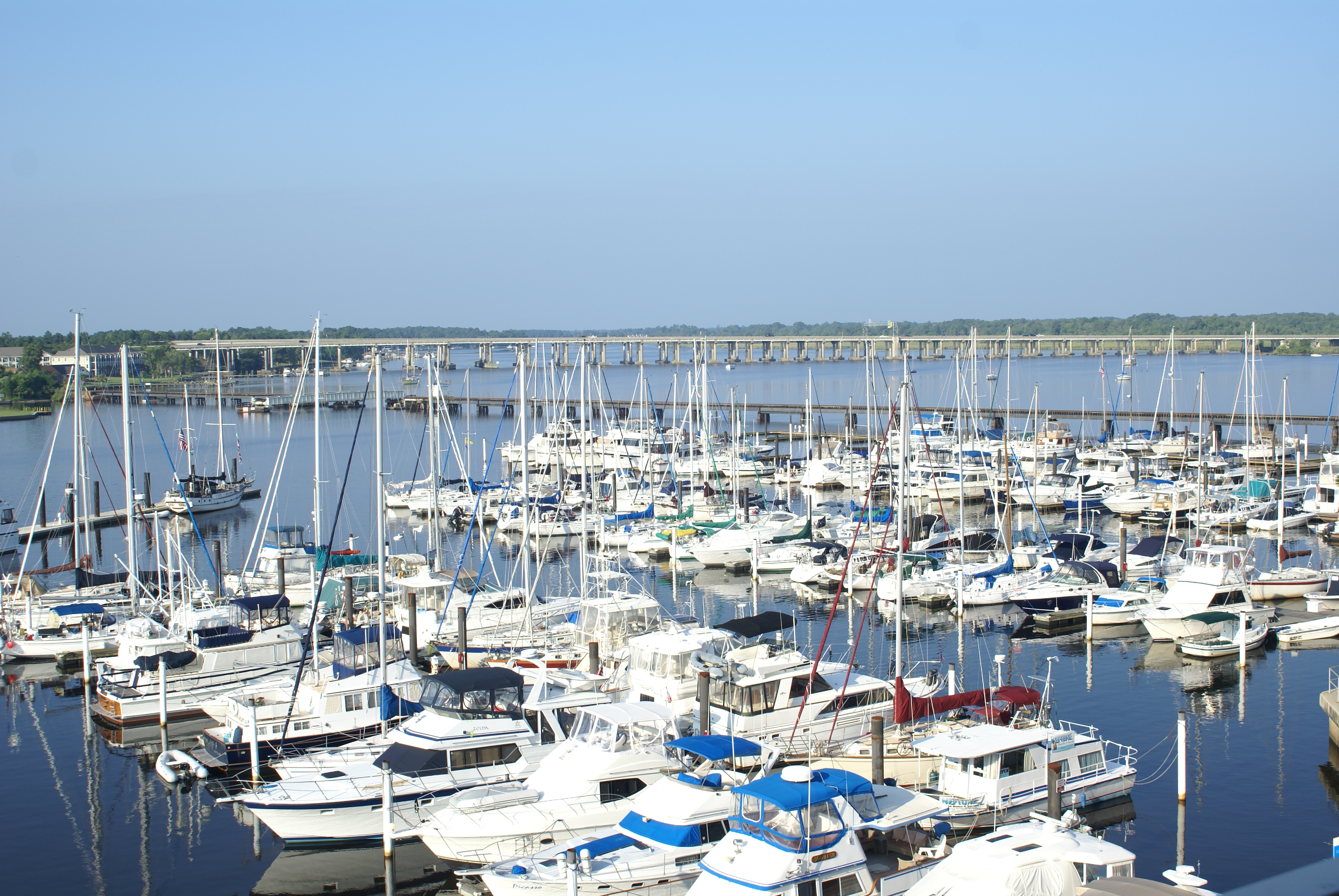
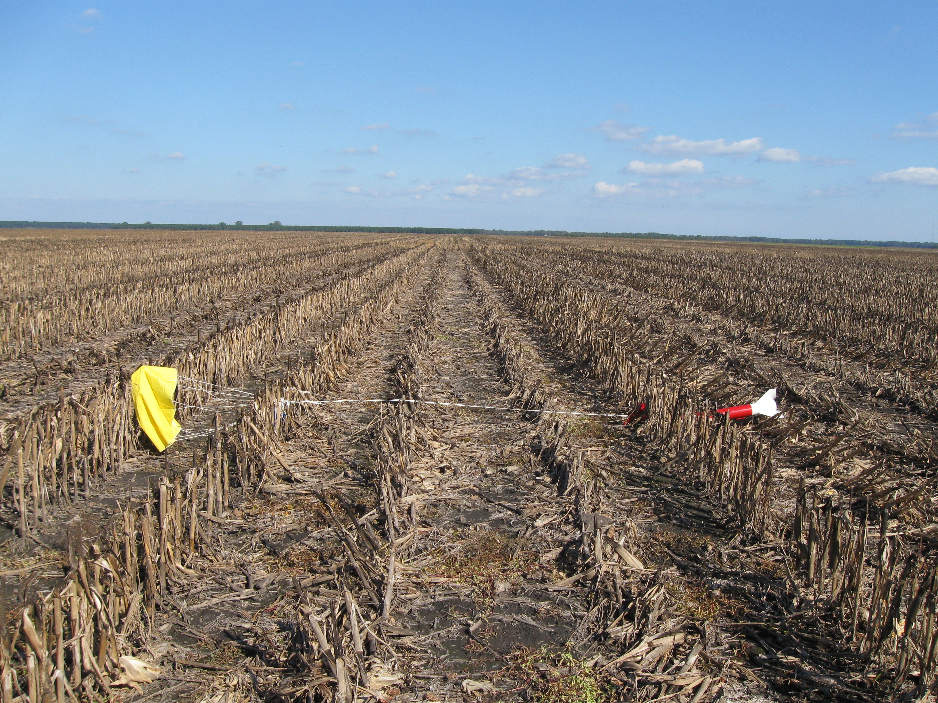
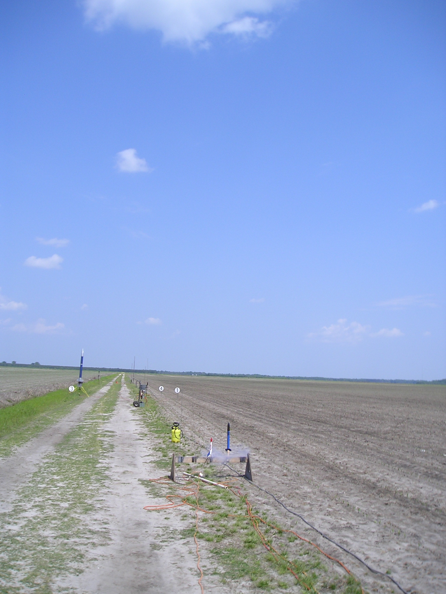
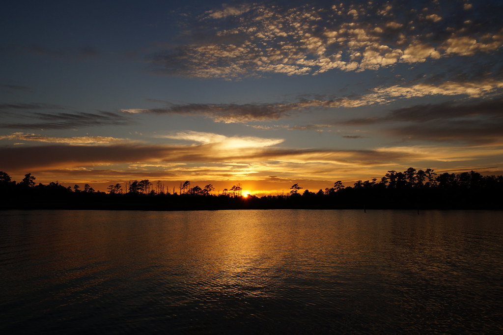
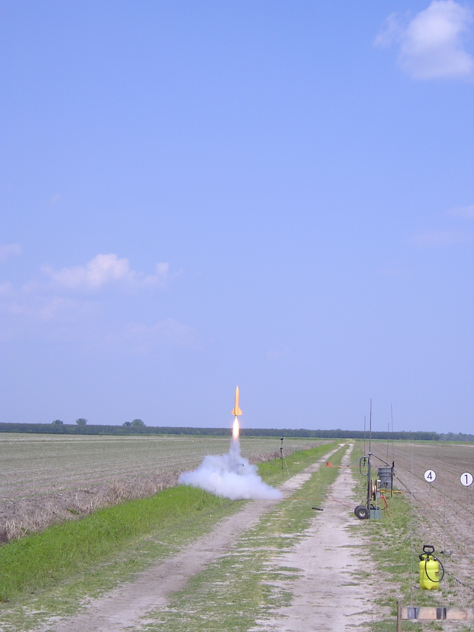
Related Photos:

My Kit (updated)
Dawn...

Shadows of the Sun
How Old Are You?
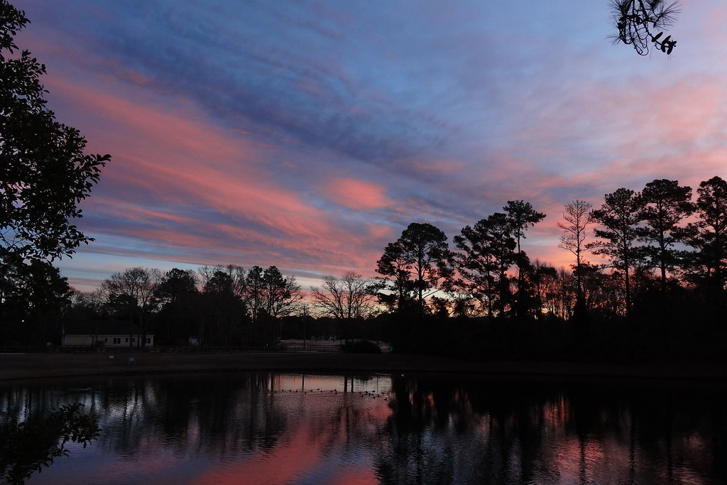
Pastel Sunset

"Birds Flying South"

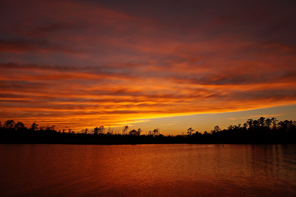
Sunset Fire

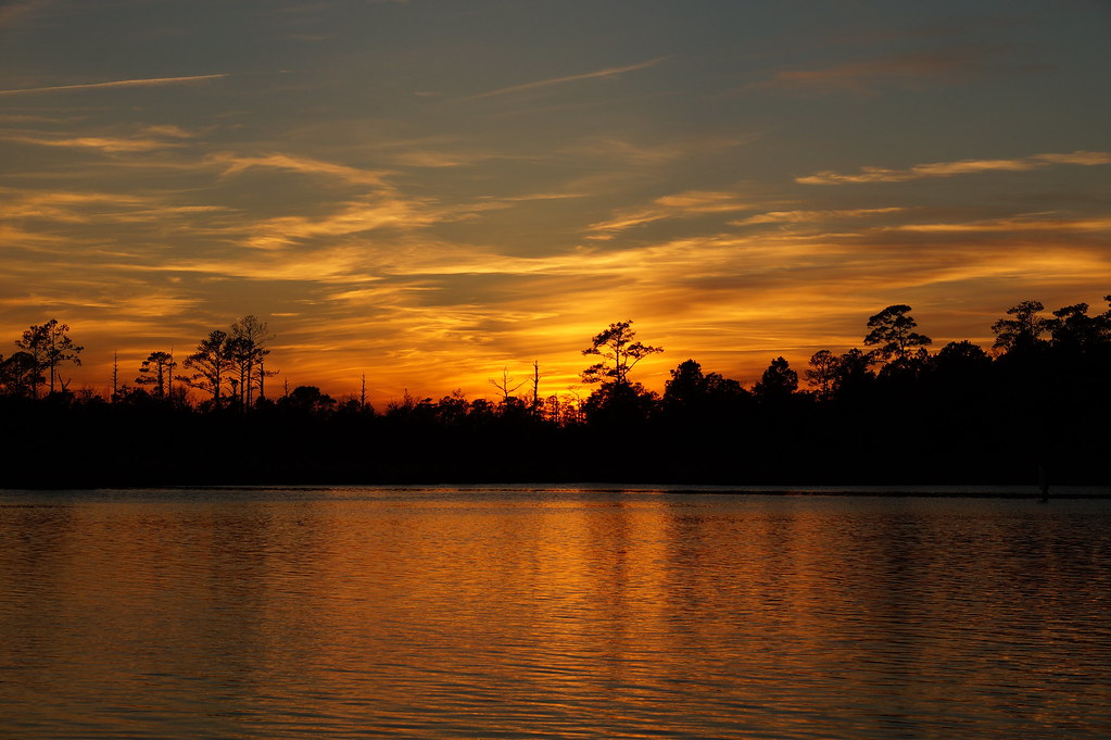
Golden Sunset
September Sky

September Sunset
Beyond the Forest

Northwest Creek Sunset

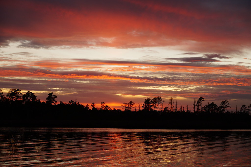
Red Dawn
Gravity Wave Clouds
Pink Twilight
Sunset Glow
Chris's Camera
Harbour Sunset
Chris's Camera
IMG_1114.JPG
P1010030.JPG

Baird Creek Pier
September Sunset
P1010033.JPG
Topographic Map of NC-, Grantsboro, NC, USA
Find elevation by address:

Places near NC-, Grantsboro, NC, USA:
941 Nc-306
Grantsboro
Old Bay River Road
Walmart
Food Lion
686 Nc-306
1446 Old Bay River Rd
1757 Old Bay River Rd
493 Main St
2505 Nc-306
Campen Road
2758 Nc-306
232 Mill Pond Rd
369 Mill Pond Rd
Alliance
166 Connett Ln
207 Cowell Rd
250 Cowell Rd
Hardison Tire & Oil Co
1991 Prescott Rd
Recent Searches:
- Elevation of Congressional Dr, Stevensville, MD, USA
- Elevation of Bellview Rd, McLean, VA, USA
- Elevation of Stage Island Rd, Chatham, MA, USA
- Elevation of Shibuya Scramble Crossing, 21 Udagawacho, Shibuya City, Tokyo -, Japan
- Elevation of Jadagoniai, Kaunas District Municipality, Lithuania
- Elevation of Pagonija rock, Kranto 7-oji g. 8"N, Kaunas, Lithuania
- Elevation of Co Rd 87, Jamestown, CO, USA
- Elevation of Tenjo, Cundinamarca, Colombia
- Elevation of Côte-des-Neiges, Montreal, QC H4A 3J6, Canada
- Elevation of Bobcat Dr, Helena, MT, USA