Elevation of NC-99, Pantego, NC, USA
Location: United States > North Carolina > Hyde County > Currituck >
Longitude: -76.635486
Latitude: 35.703735
Elevation: 3m / 10feet
Barometric Pressure: 101KPa
Elevation Map:
Satellite Map:
Related Photos:

Sunrise at Pocosin Lakes NWR, NC

20090320CarolinaCoast 003.jpg
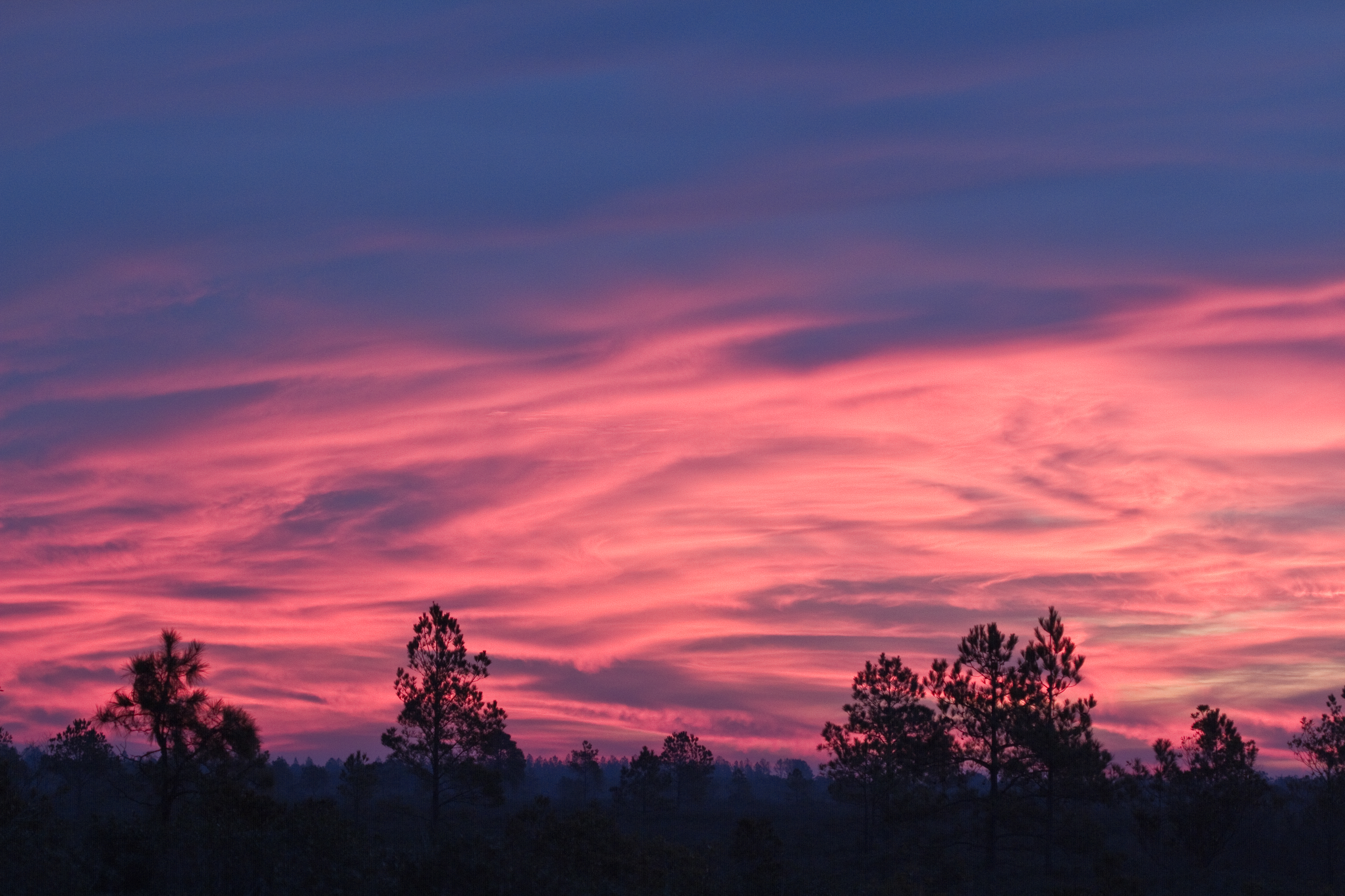
Sunrise At Pungo Lake
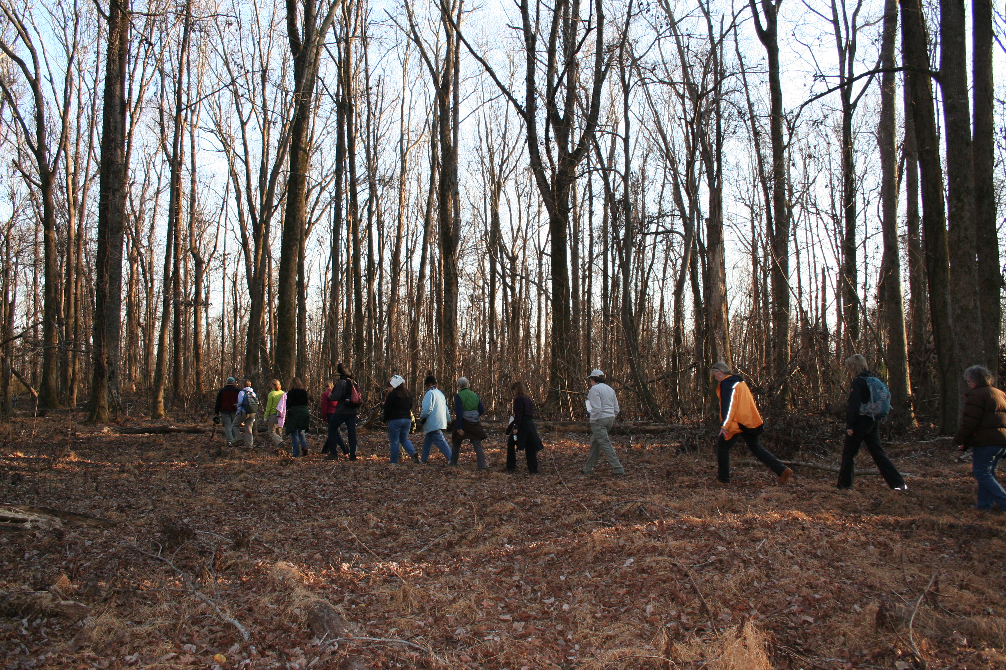
Walking Through the Bear Woods
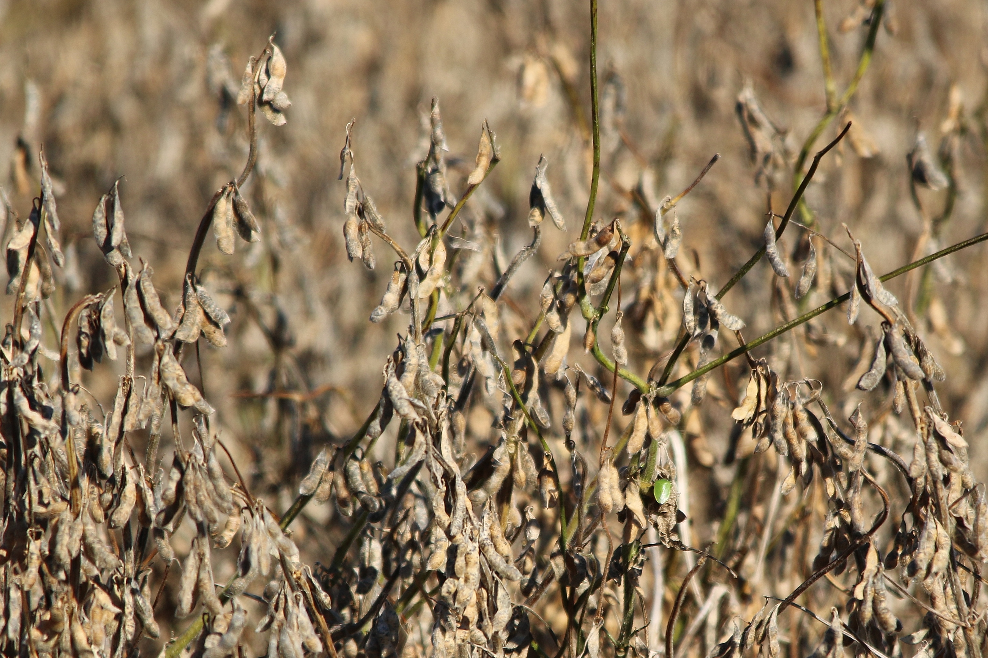
Soy beans ready for harvest
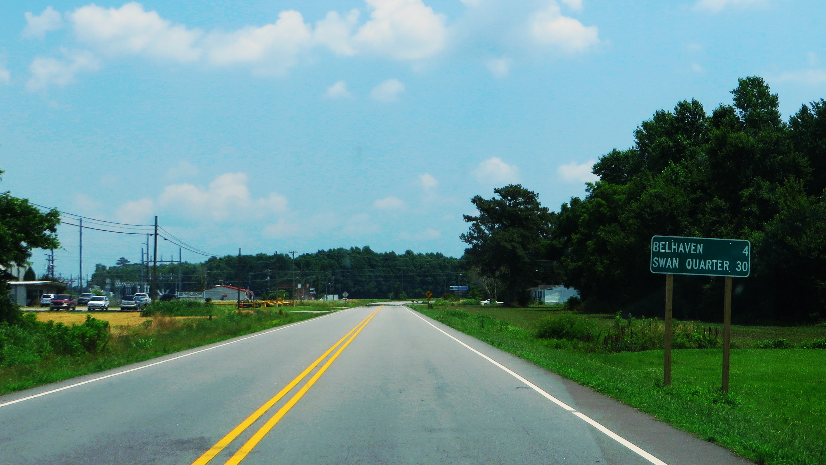
4 Miles to Belhaven, U.S. 264, Pantego, North Carolina
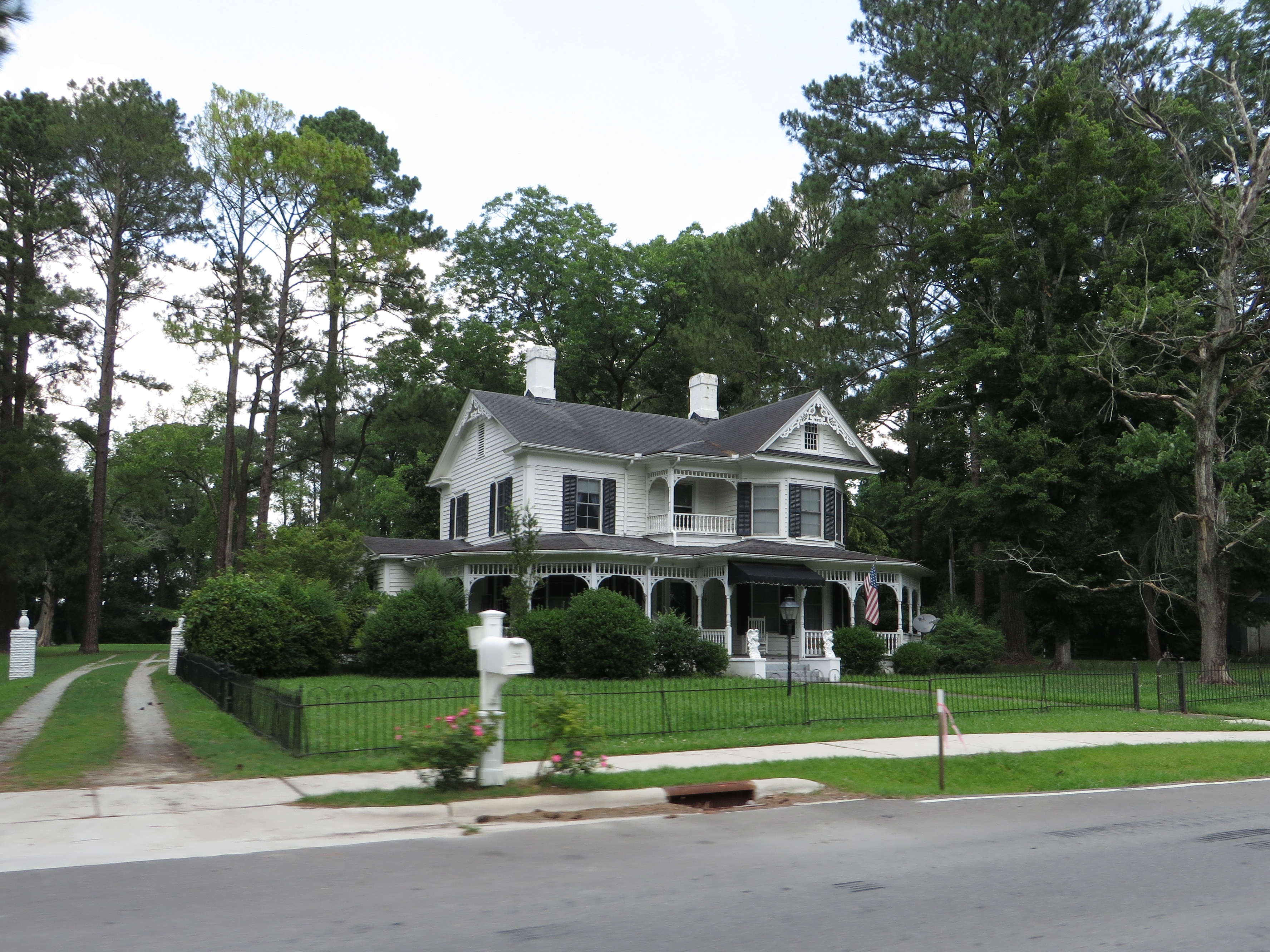
Pantego, North Carolina
Bear Road

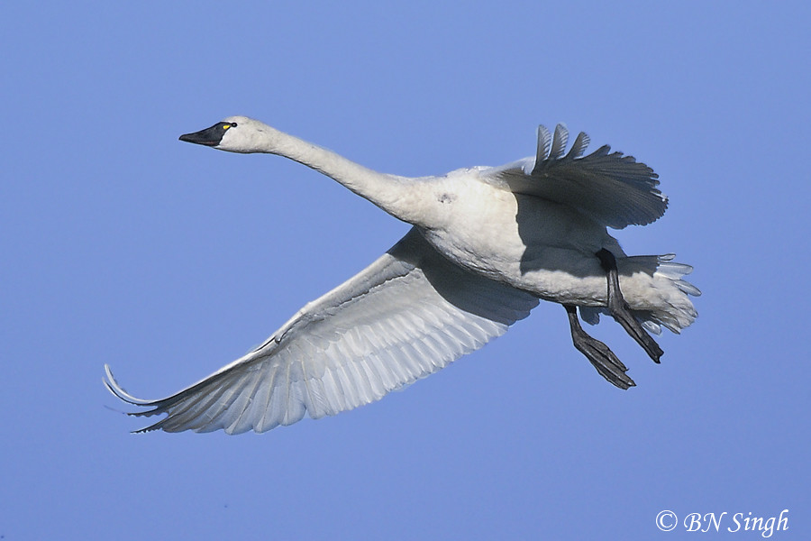
Swans in Flight

Wilson's Snipe, North Carolina
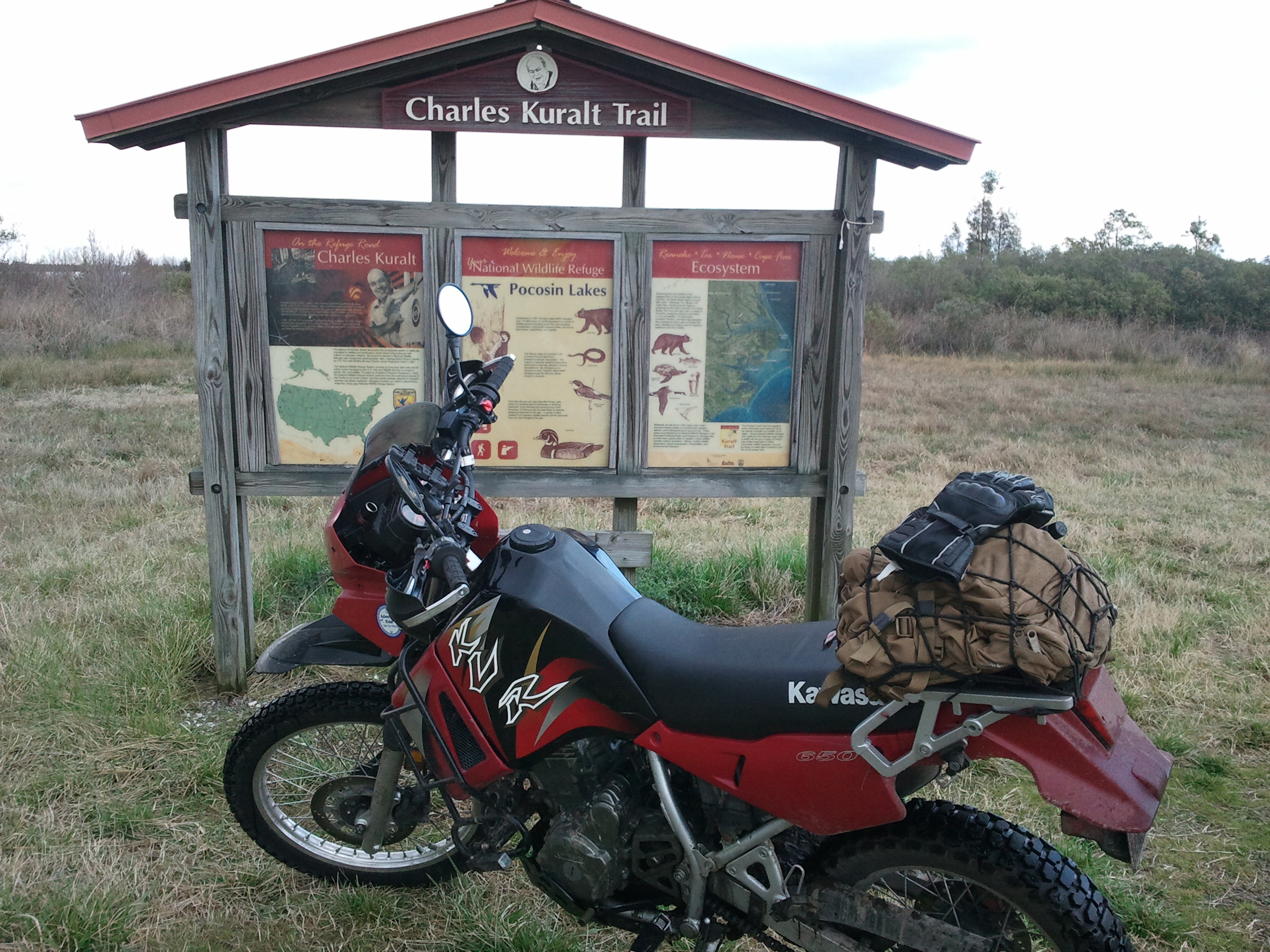
Charles Karalt trail 1
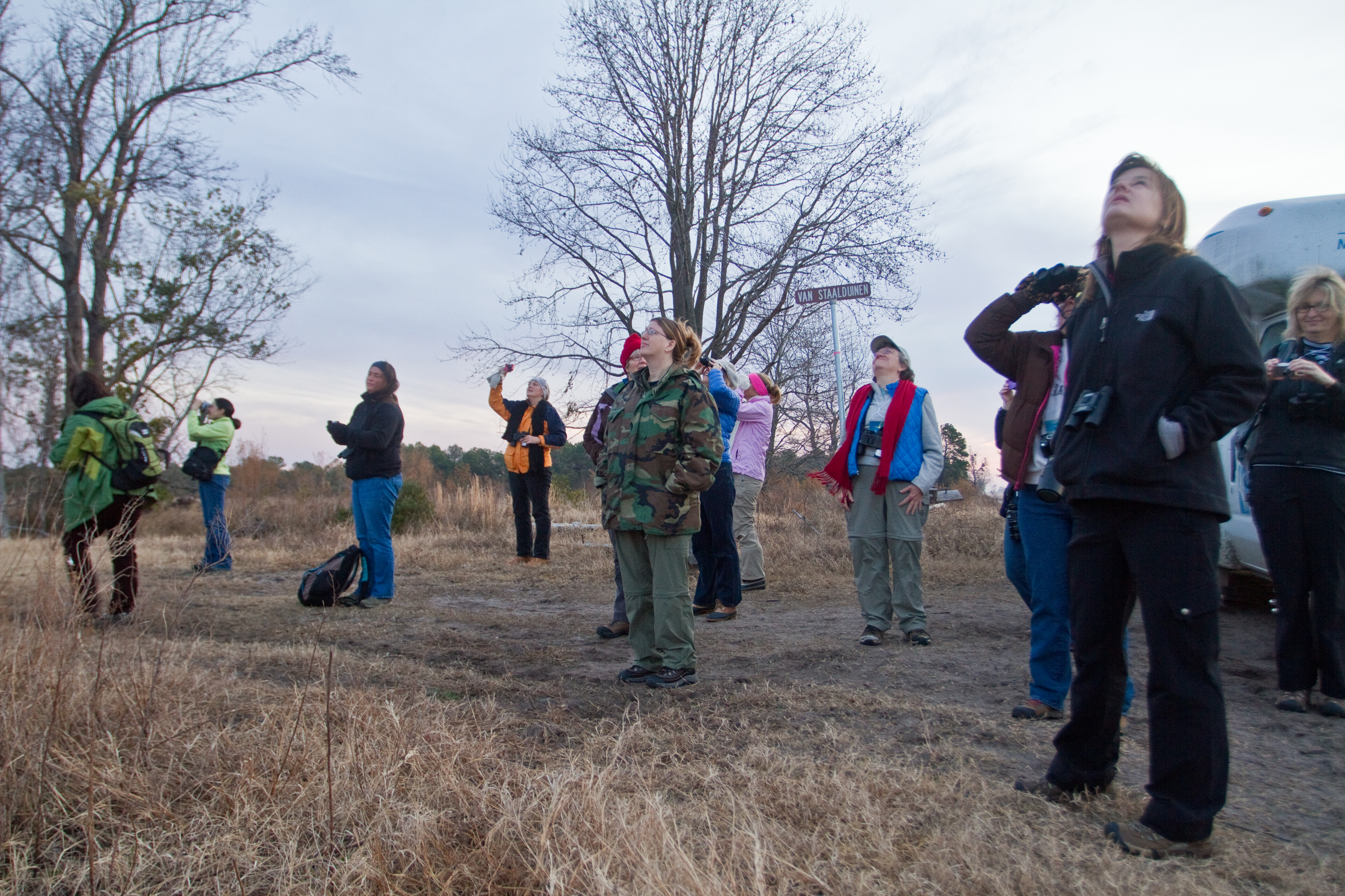
Watching Snow Geese
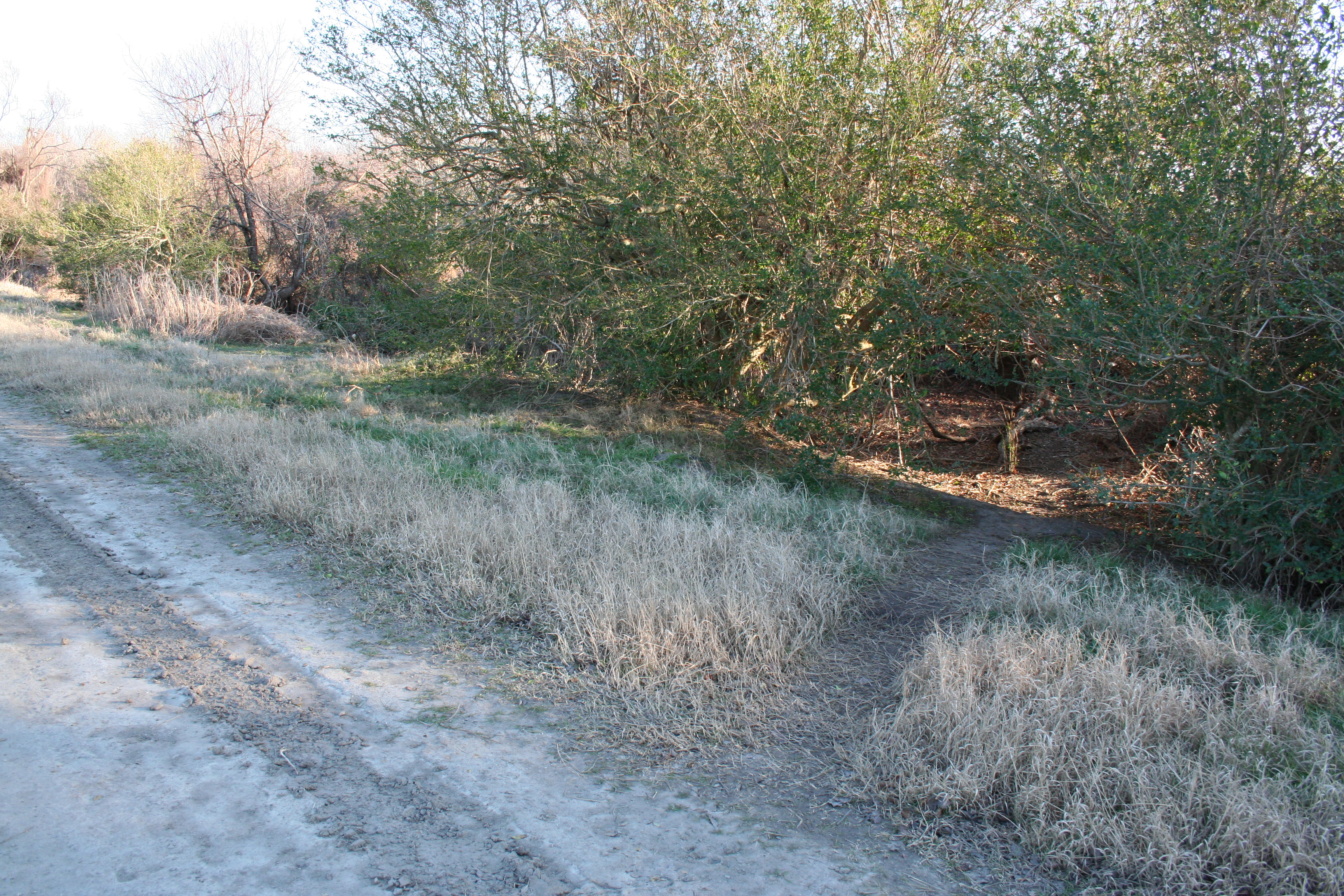
Bear Path
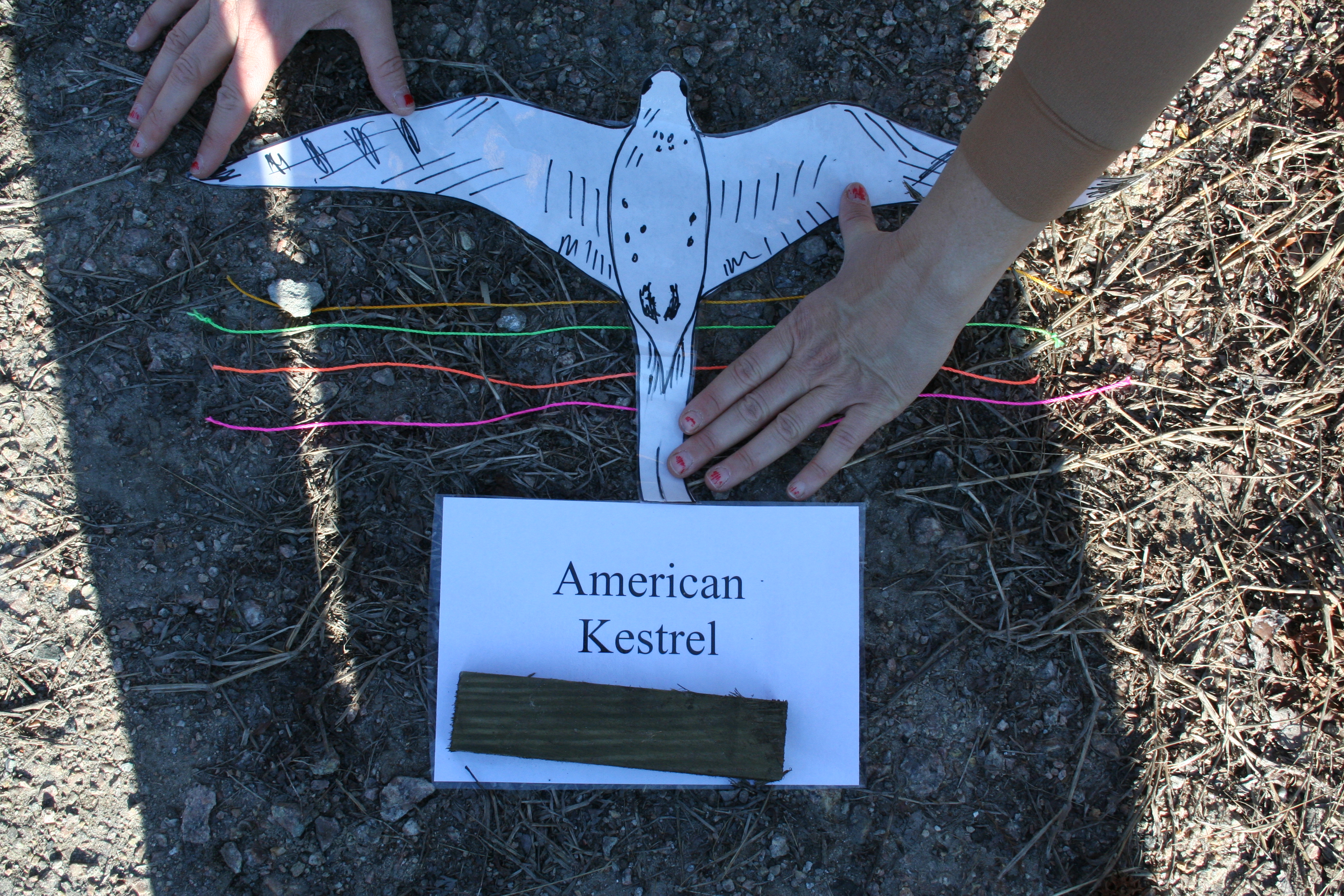
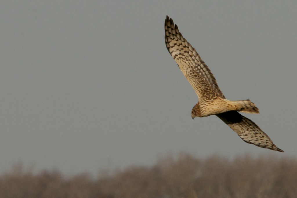
Birds in Flight Activity

Red Wolf
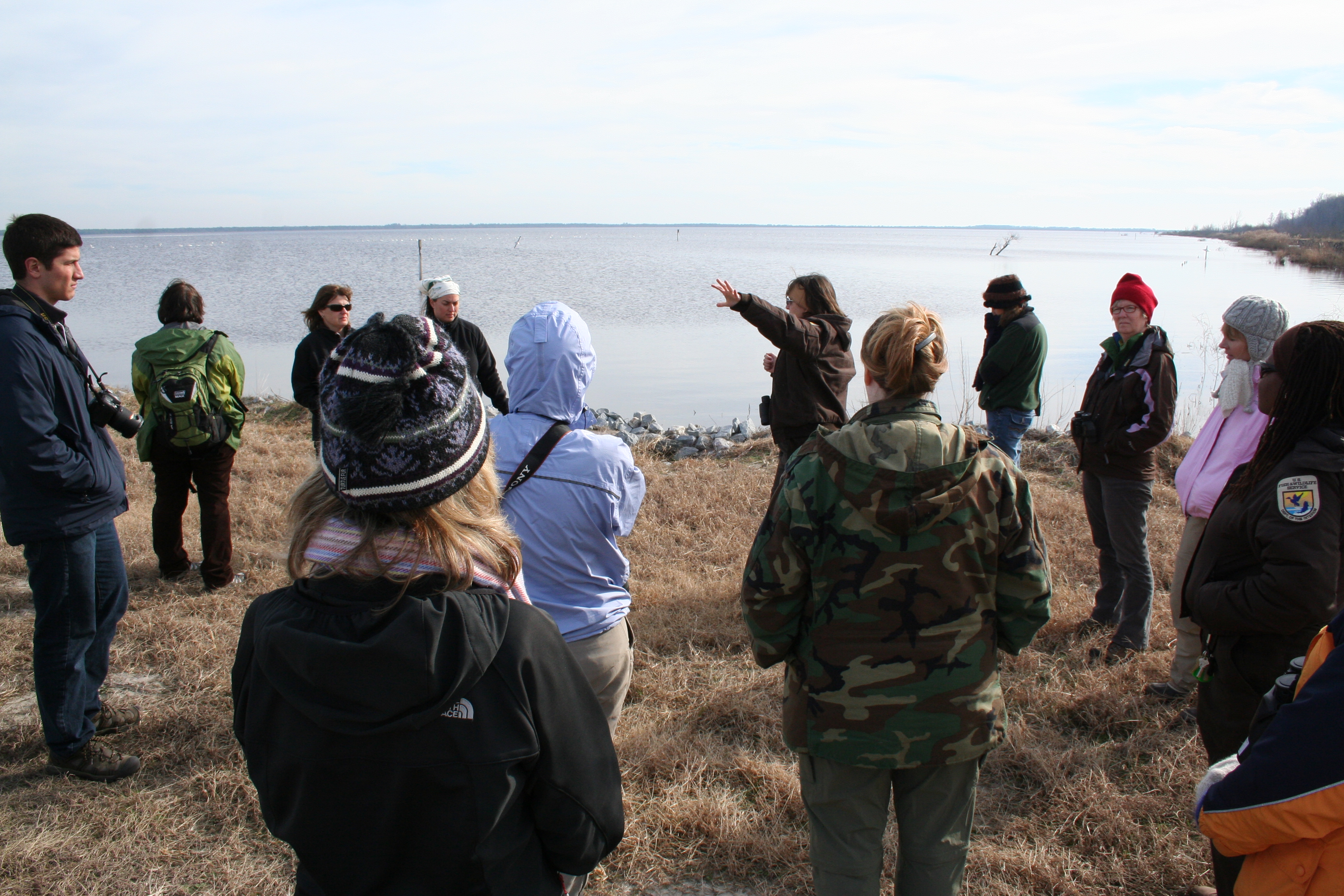
Learning from Wendy
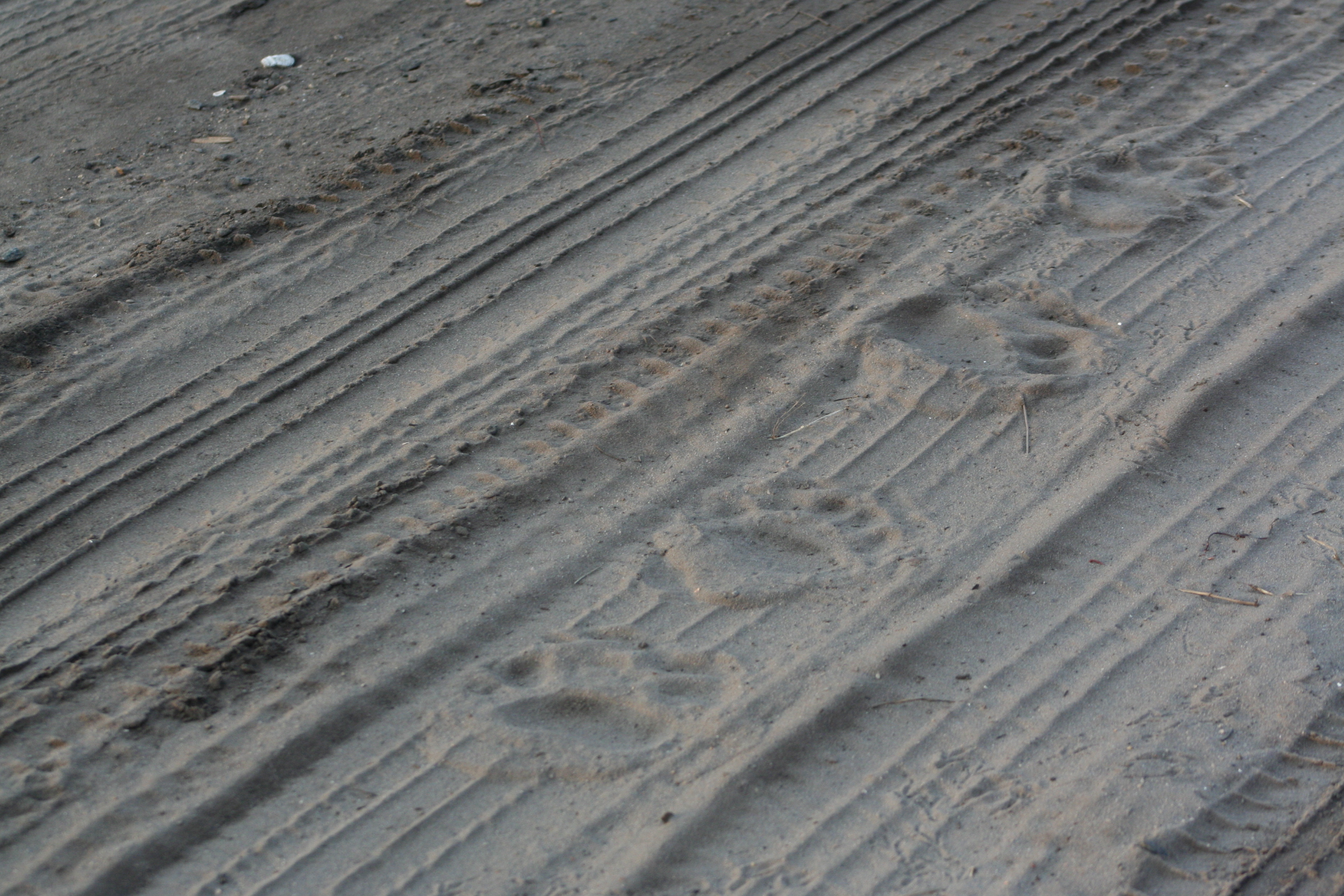
Bear Tracks
Tundra Swan
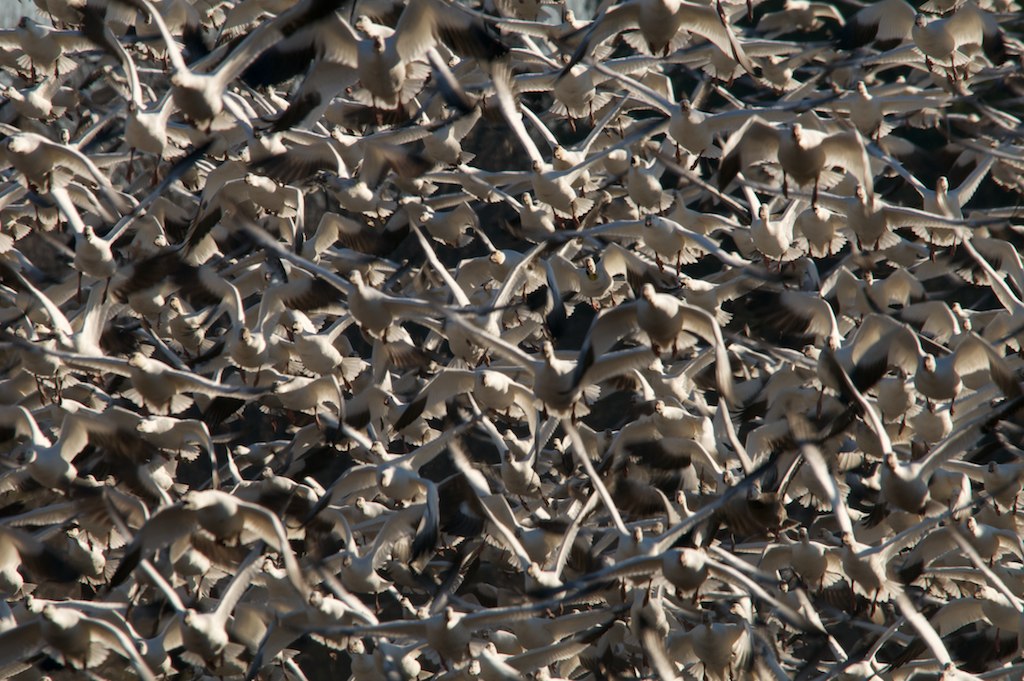
Snow Geese Blast off!
Looking for breakfast
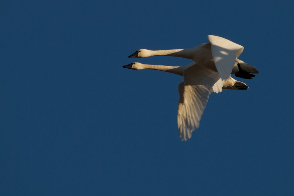
Pair of Tundra Swans in flight
Topographic Map of NC-99, Pantego, NC, USA
Find elevation by address:

Places near NC-99, Pantego, NC, USA:
8899 Railroad Bed Rd
1761 Pat's Rd
Pantego
Swindell Rd, Pantego, NC, USA
946 Hyde Park Canal Rd
Washington County
Pantego
U.S. E, Belhaven, NC, USA
Nc 45 Hwy N, Belhaven, NC, USA
Lees Mill
7566 Terra Ceia Rd
6320 Nc-45
Plymouth
374 W Main St
295 Campbell Ln
Belhaven
Christian School Rd, Pantego, NC, USA
Main Street
377 E Pungo St
377 E Pungo St
Recent Searches:
- Elevation of 15th Ave SE, St. Petersburg, FL, USA
- Elevation of Beall Road, Beall Rd, Florida, USA
- Elevation of Leguwa, Nepal
- Elevation of County Rd, Enterprise, AL, USA
- Elevation of Kolchuginsky District, Vladimir Oblast, Russia
- Elevation of Shustino, Vladimir Oblast, Russia
- Elevation of Lampiasi St, Sarasota, FL, USA
- Elevation of Elwyn Dr, Roanoke Rapids, NC, USA
- Elevation of Congressional Dr, Stevensville, MD, USA
- Elevation of Bellview Rd, McLean, VA, USA