Elevation of Terra Ceia Rd, Pantego, NC, USA
Location: United States > North Carolina > Beaufort County > Pantego > Pantego >
Longitude: -76.698638
Latitude: 35.5854481
Elevation: 3m / 10feet
Barometric Pressure: 101KPa
Elevation Map:
Satellite Map:
Related Photos:

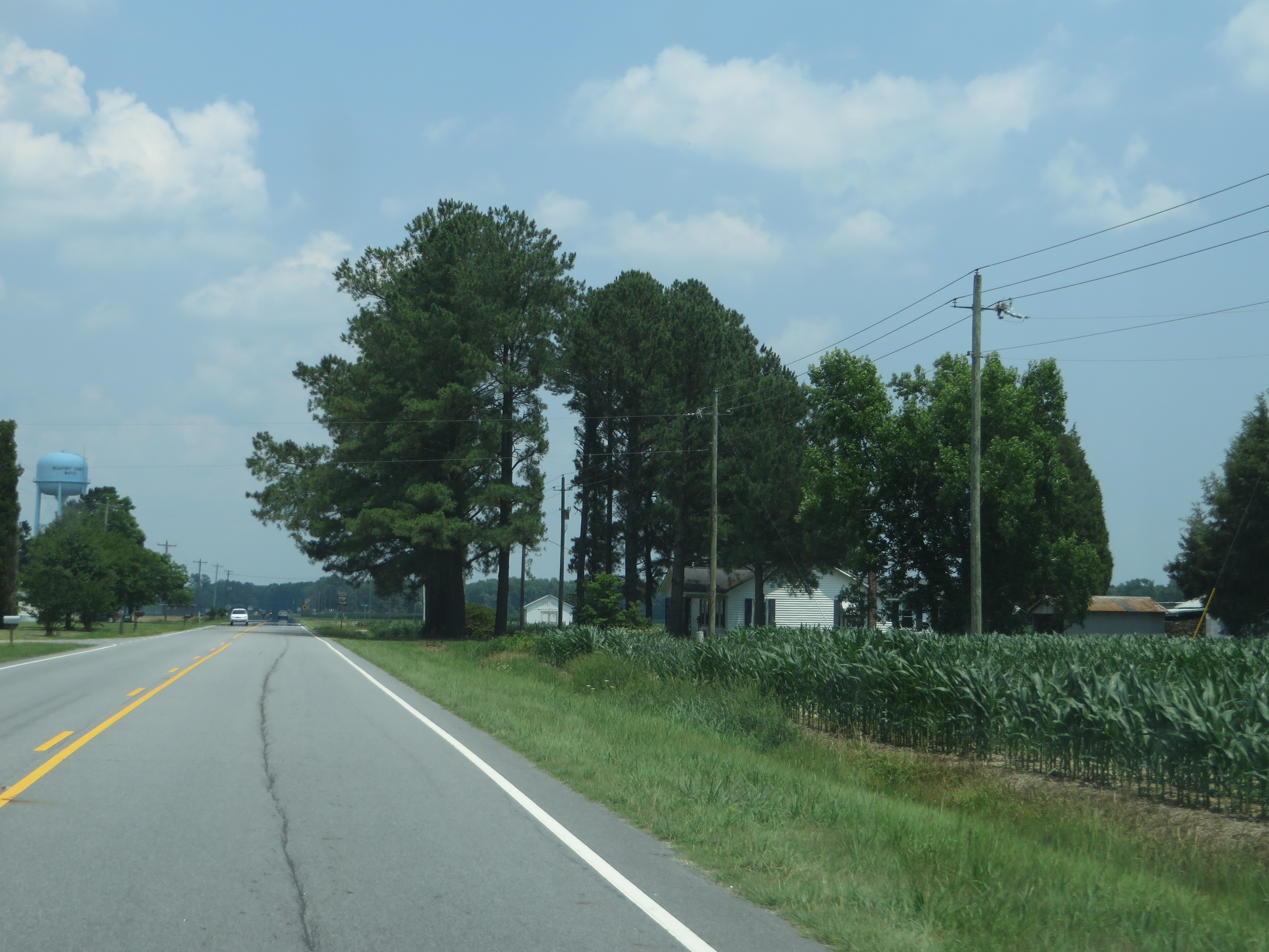
U.S. 264 Between Washington and Belhaven, North Carolina
U.S. 264 Between Washington and Belhaven, North Carolina

U.S. 264 Between Washington and Belhaven, North Carolina

U.S. 264 Between Washington and Belhaven, North Carolina

U.S. 264 Between Washington and Belhaven, North Carolina

Northeast Elementary School, Pinetown, NC

Belhaven, NC

Pantego Creek Belhaven

Pungo River sunrise

Pungo River sunrise

Pungo River sunrise

Sunrise at Pocosin Lakes NWR, NC

Soy beans ready for harvest

9-28_2

9-24_3

9-30_4

9-30sunset
Topographic Map of Terra Ceia Rd, Pantego, NC, USA
Find elevation by address:

Places near Terra Ceia Rd, Pantego, NC, USA:
Swindell Rd, Pantego, NC, USA
Pantego
U.S. E, Belhaven, NC, USA
Pantego
Christian School Rd, Pantego, NC, USA
2310 Nc-99
374 W Main St
Foreman Ln, Belhaven, NC, USA
Belhaven
Main Street
377 E Pungo St
377 E Pungo St
East Water Street
406 E Main St
406 E Main St
East Pungo Street
295 Campbell Ln
Bath
NC-99, Pantego, NC, USA
1761 Pat's Rd
Recent Searches:
- Elevation of Lampiasi St, Sarasota, FL, USA
- Elevation of Elwyn Dr, Roanoke Rapids, NC, USA
- Elevation of Congressional Dr, Stevensville, MD, USA
- Elevation of Bellview Rd, McLean, VA, USA
- Elevation of Stage Island Rd, Chatham, MA, USA
- Elevation of Shibuya Scramble Crossing, 21 Udagawacho, Shibuya City, Tokyo -, Japan
- Elevation of Jadagoniai, Kaunas District Municipality, Lithuania
- Elevation of Pagonija rock, Kranto 7-oji g. 8"N, Kaunas, Lithuania
- Elevation of Co Rd 87, Jamestown, CO, USA
- Elevation of Tenjo, Cundinamarca, Colombia