Elevation of NB-11, Tabusintac, NB E9H 1H4, Canada
Location: Canada > New Brunswick > Northumberland County > Alnwick > Tabusintac >
Longitude: -65.010750
Latitude: 47.3299205
Elevation: 10m / 33feet
Barometric Pressure: 101KPa
Elevation Map:
Satellite Map:
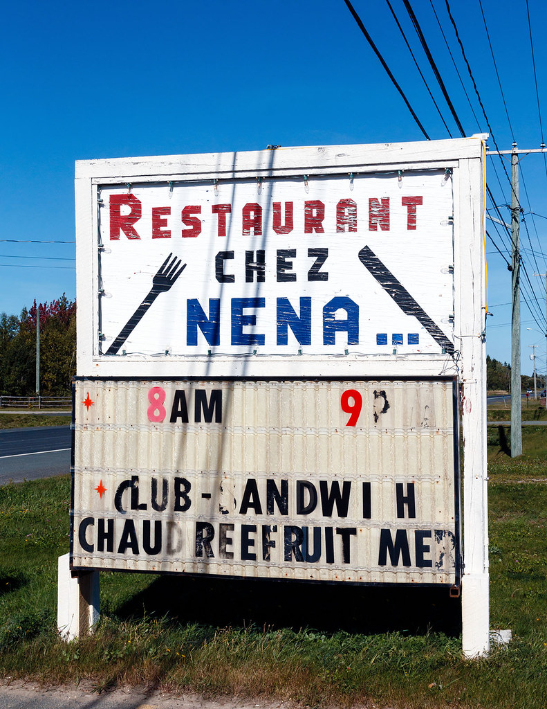
Related Photos:
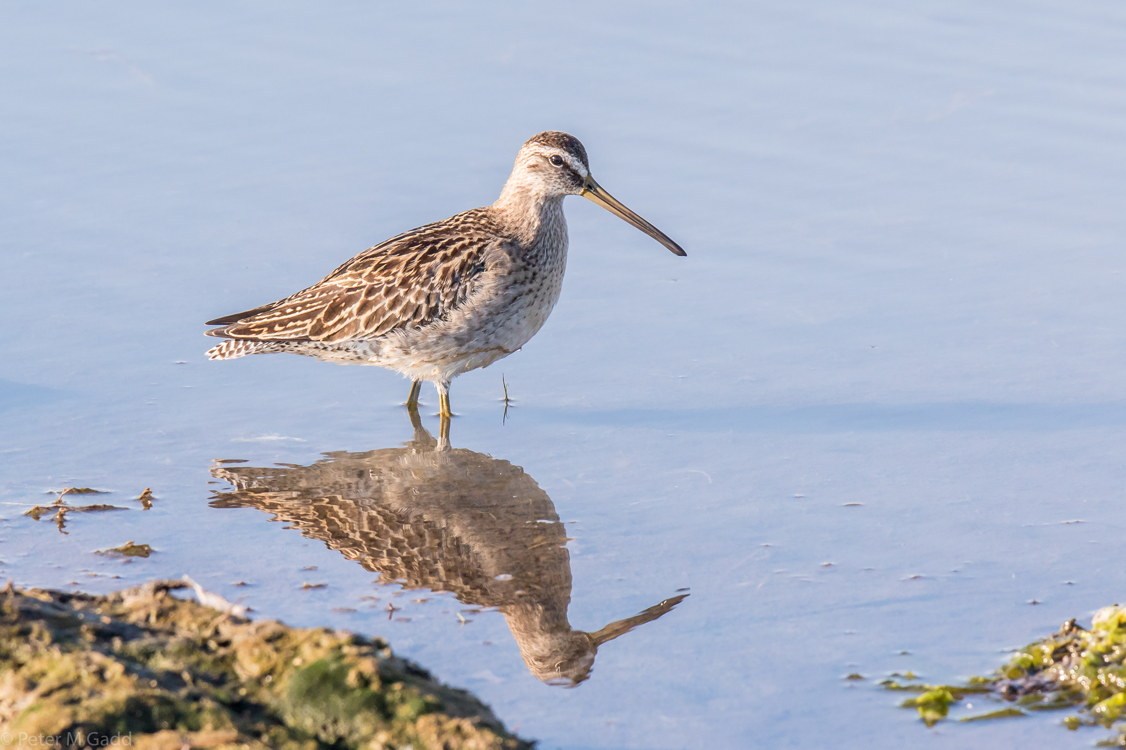
20180915 Short-billed Dowitcher, Hay Island (1)
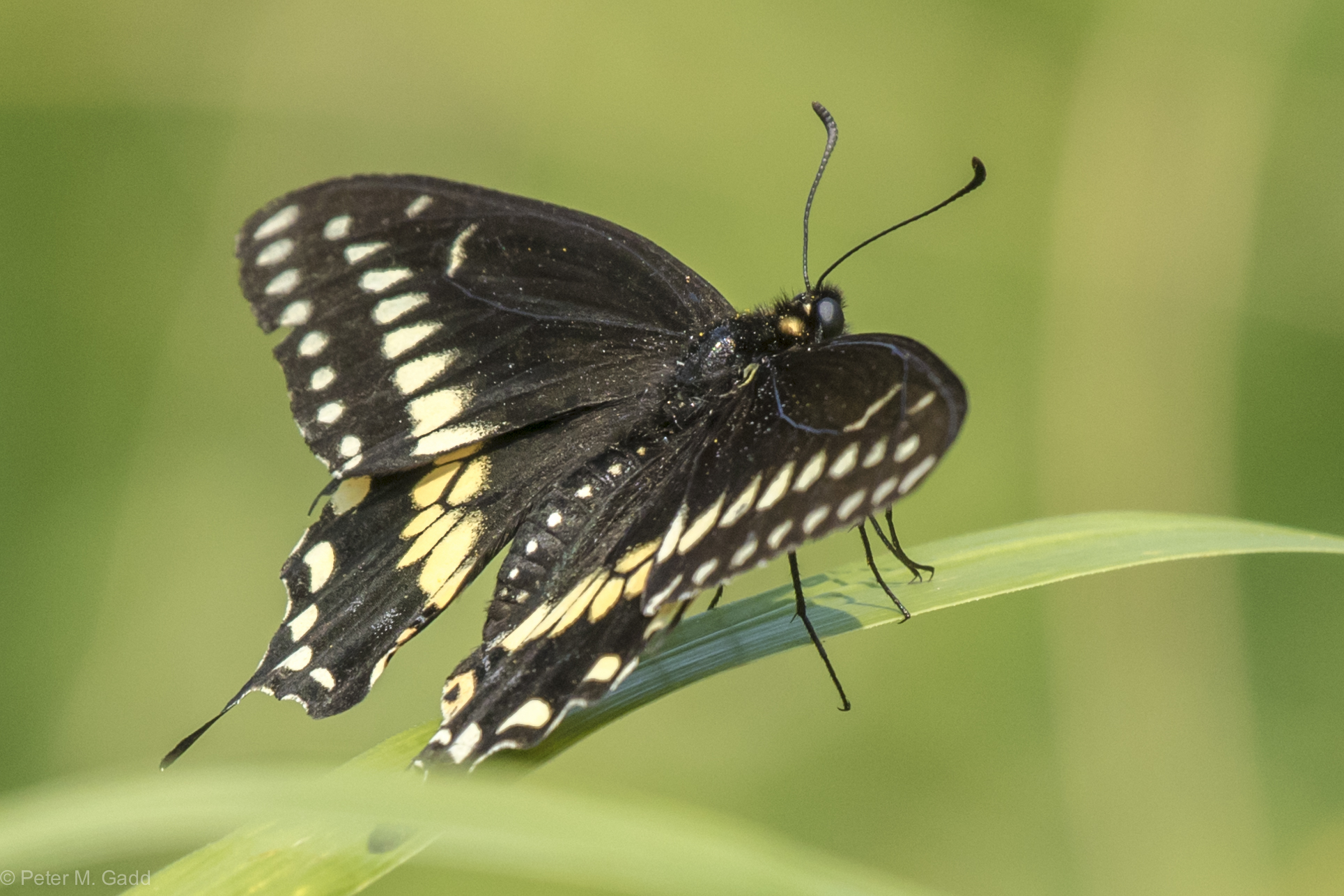
Black Swallowtail 20150819 Hay Island (9)
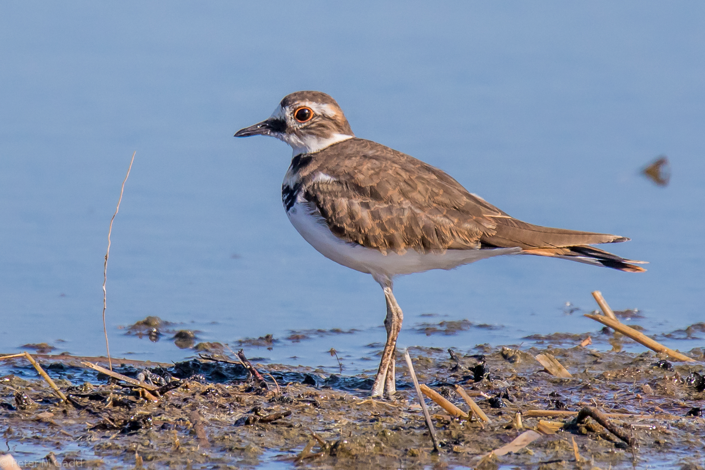
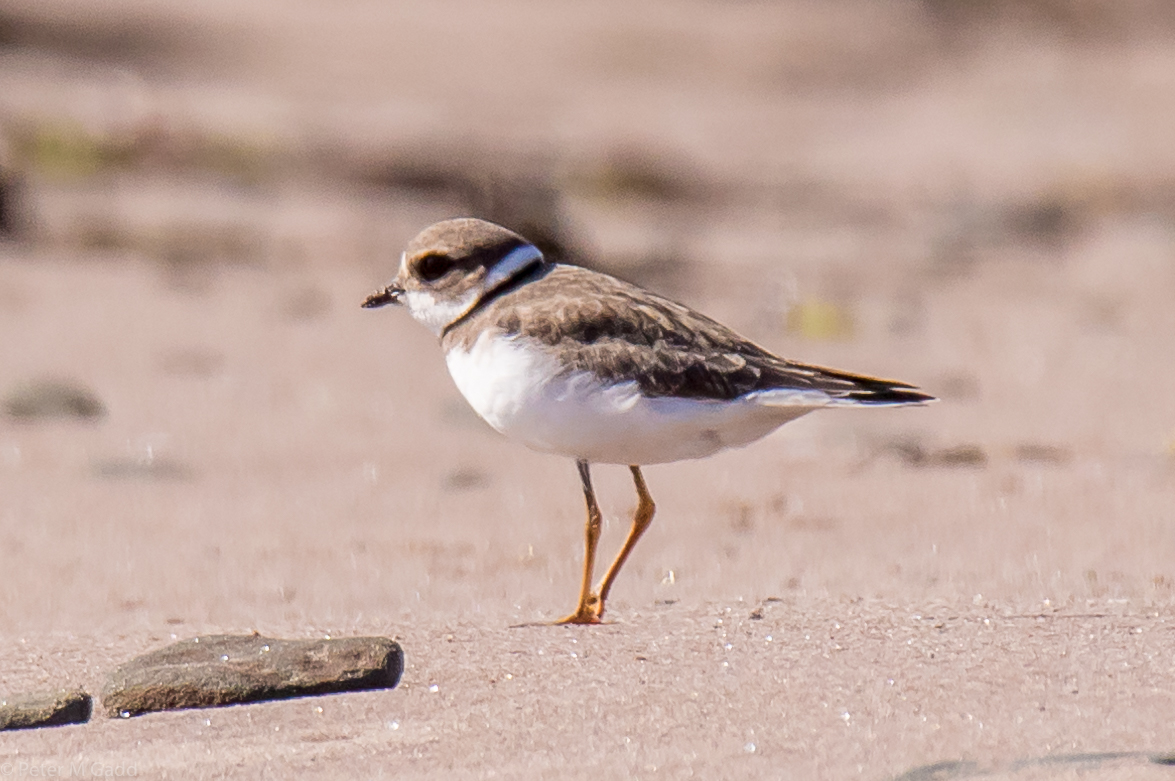
20180915 Killdeer, Hay Island
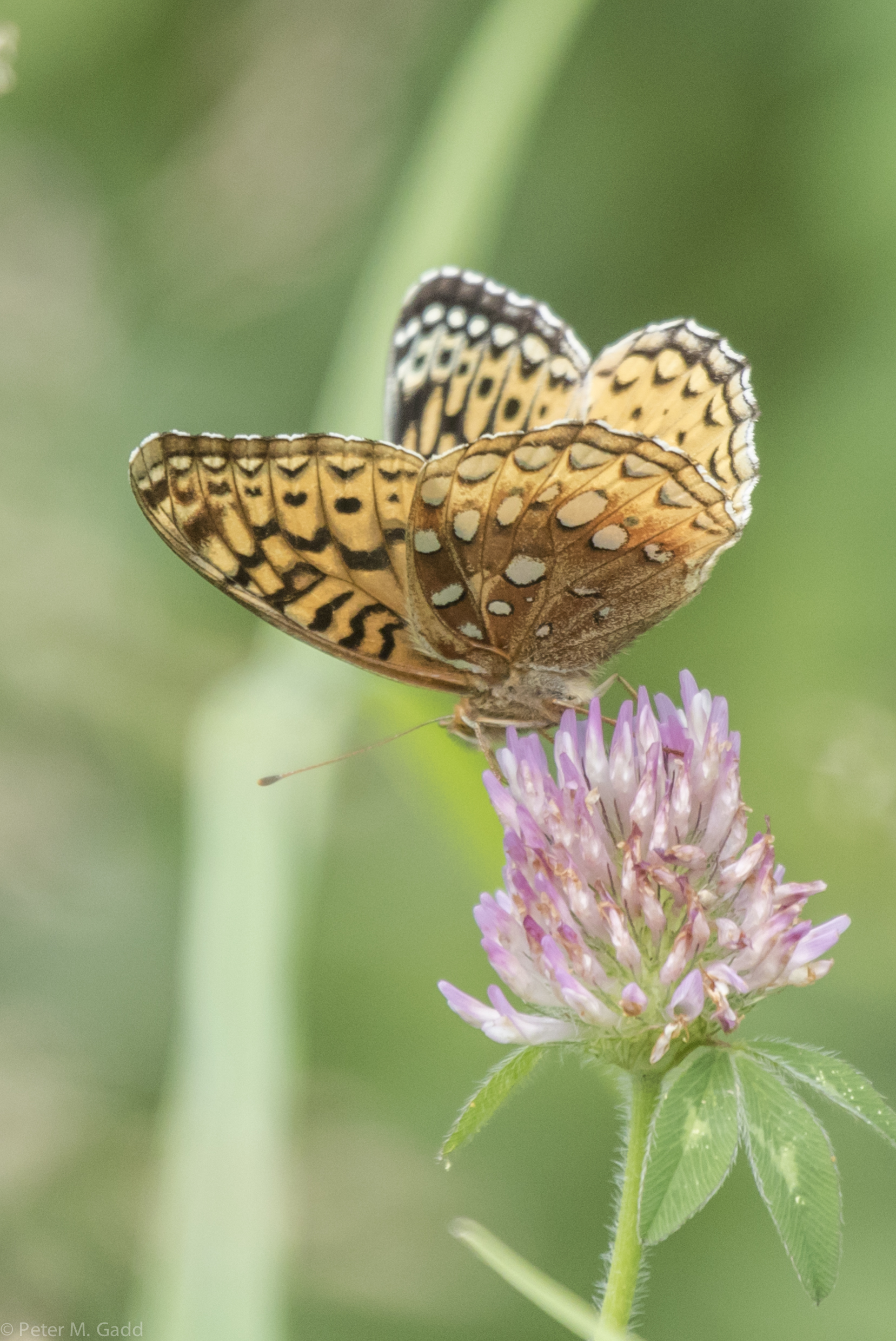
Great Spangled Fritillary (yellow) 4 20150729 Malpec Road, Tabusintac Area (7)
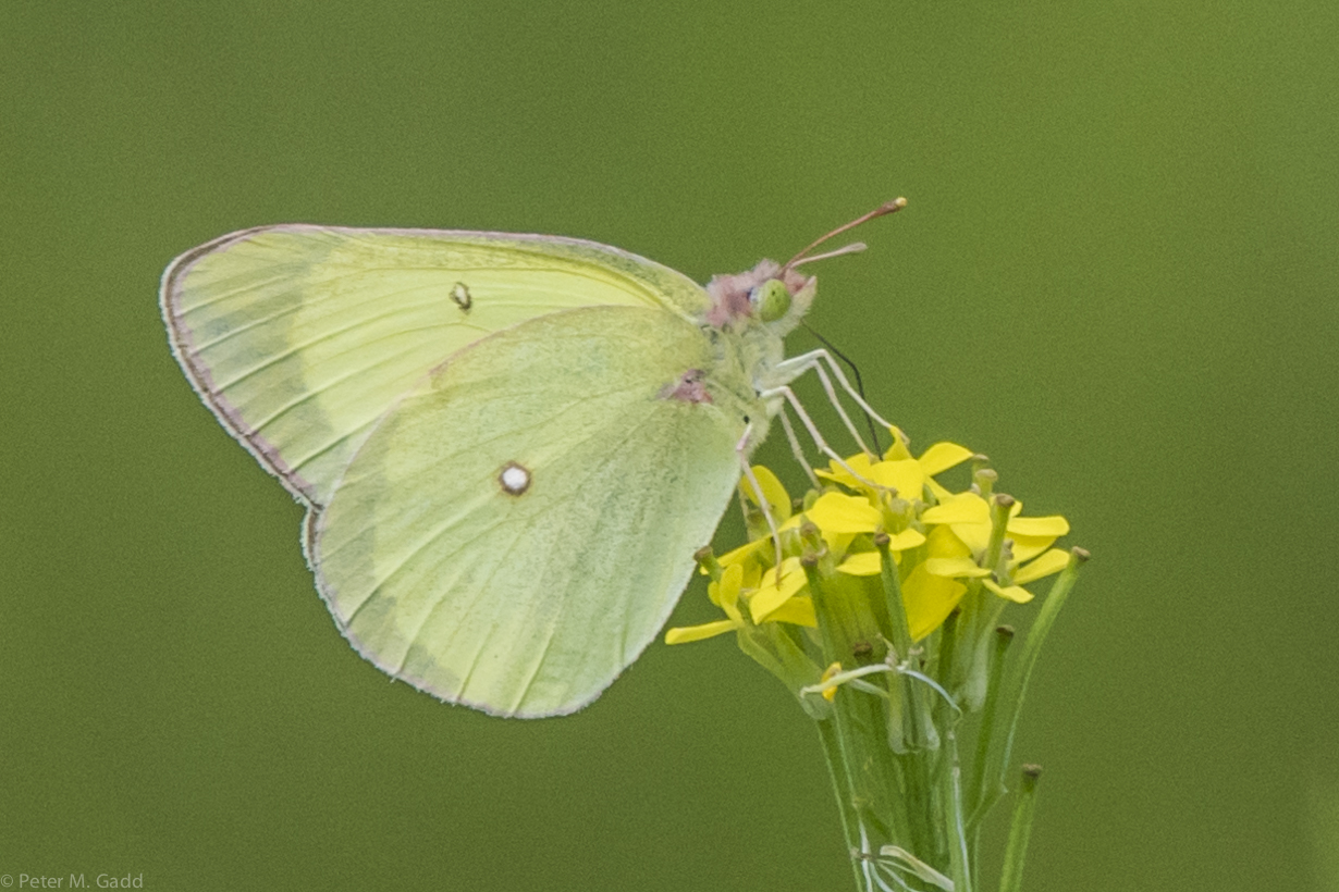
Pink-edged Sulphur 20150729 Malpec Road, Tabusintac Area (16)
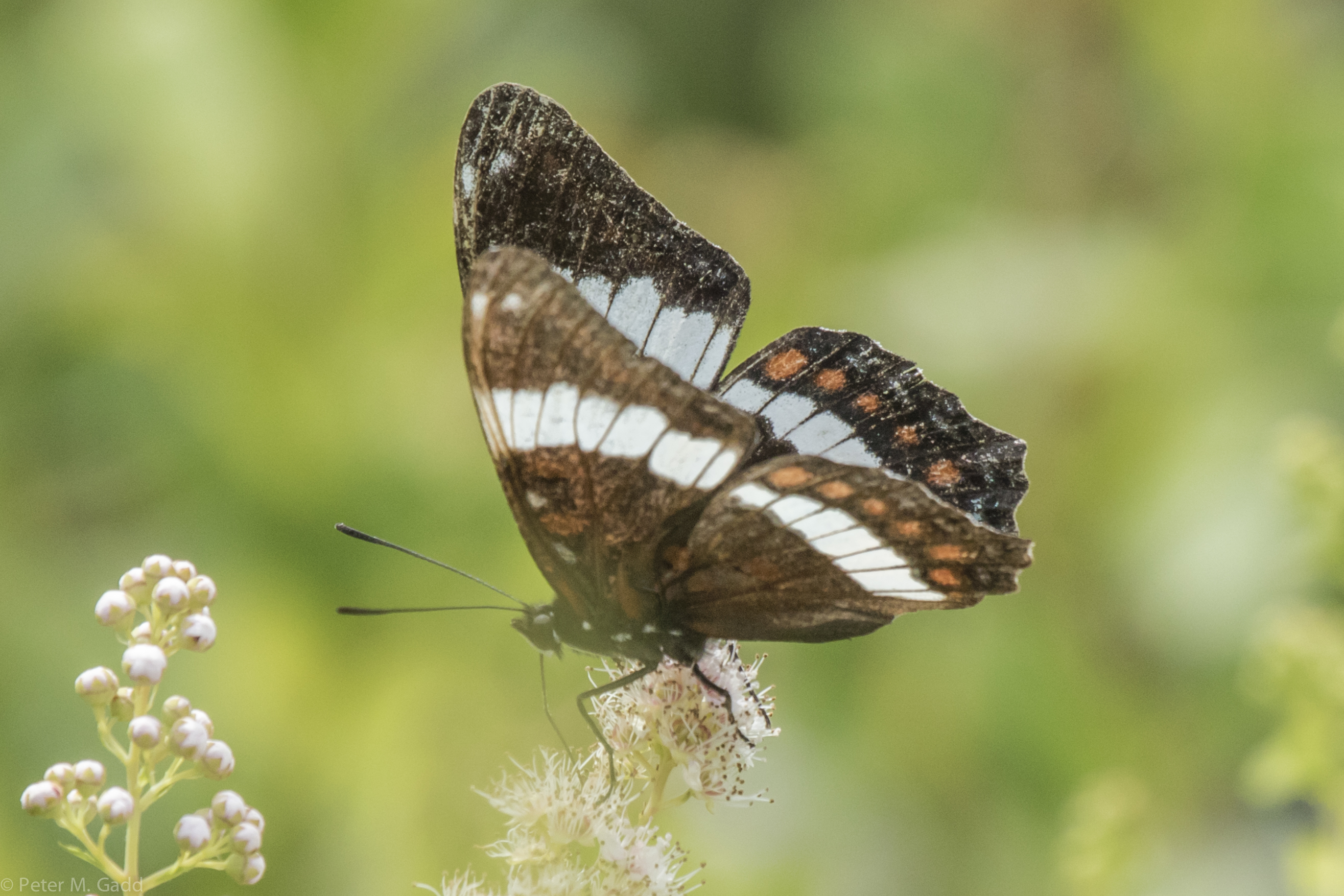
White Admiral 20150729 Hay Island

Black Swallowtail 20150819 Hay Island (7)
20180910 Semipalmated Plover, Cedriere Beach
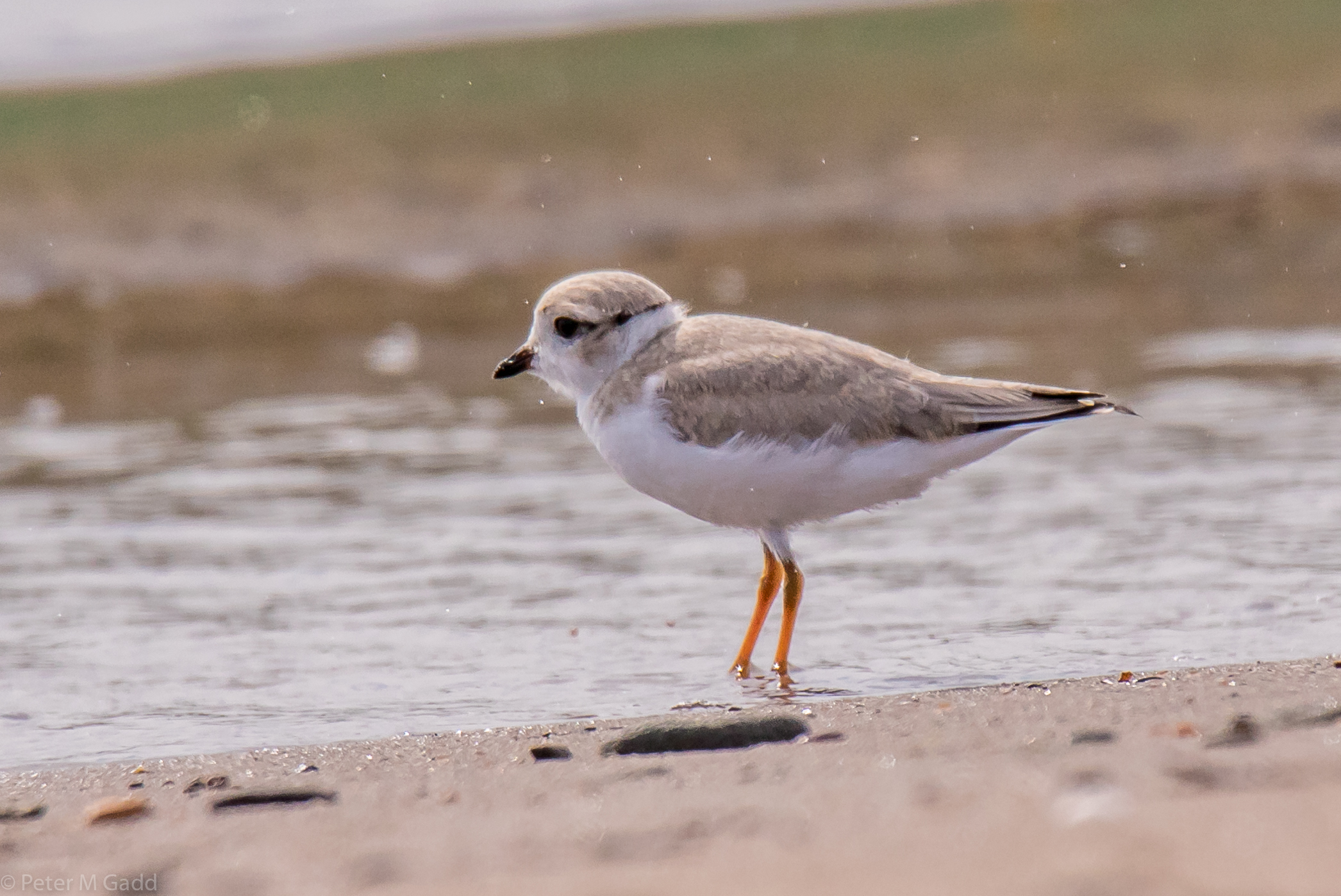
20180731 Cedriere Beach - Piping Plovers (3)
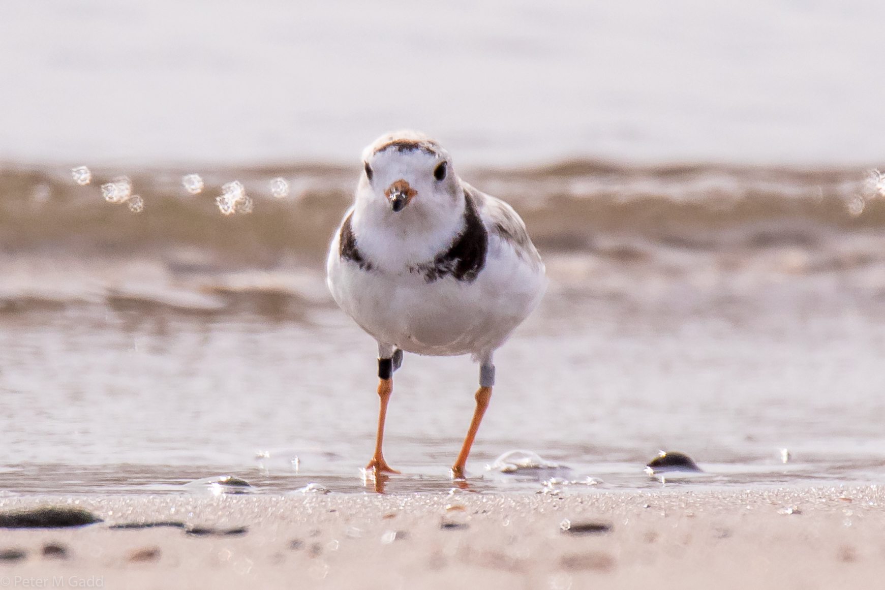
20180731 Cedriere Beach - Piping Plovers (1)
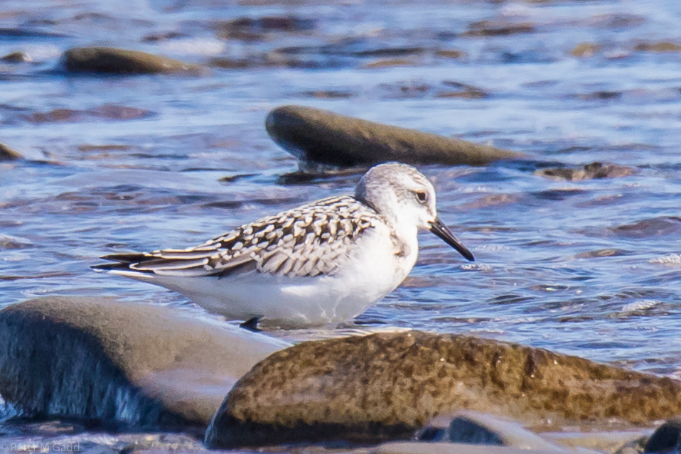
20180910 Sanderling, Cedriere Beach

Ile aux foins

Ile aux foins

Ile aux foins

Riviere-du-Portage, Route 11
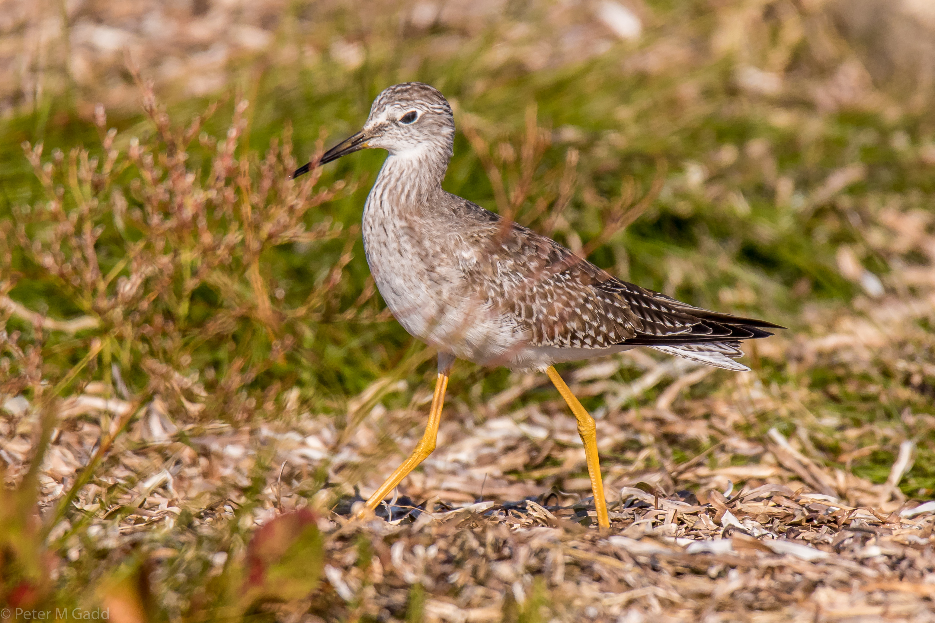
20180915 Lesser Yellowlegs,Hay Island
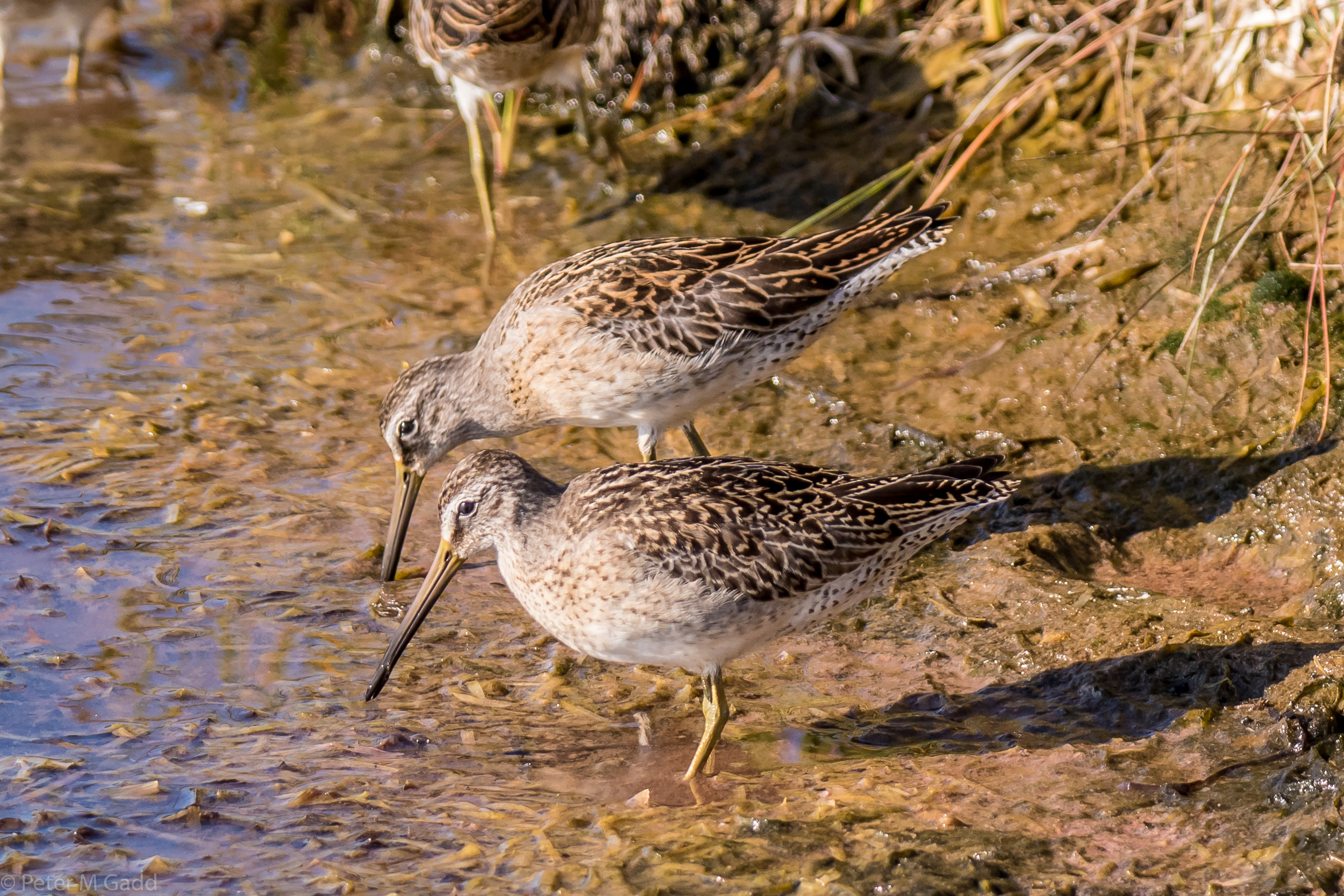
20180915 Short-billed Dowitcher, Hay Island (2)
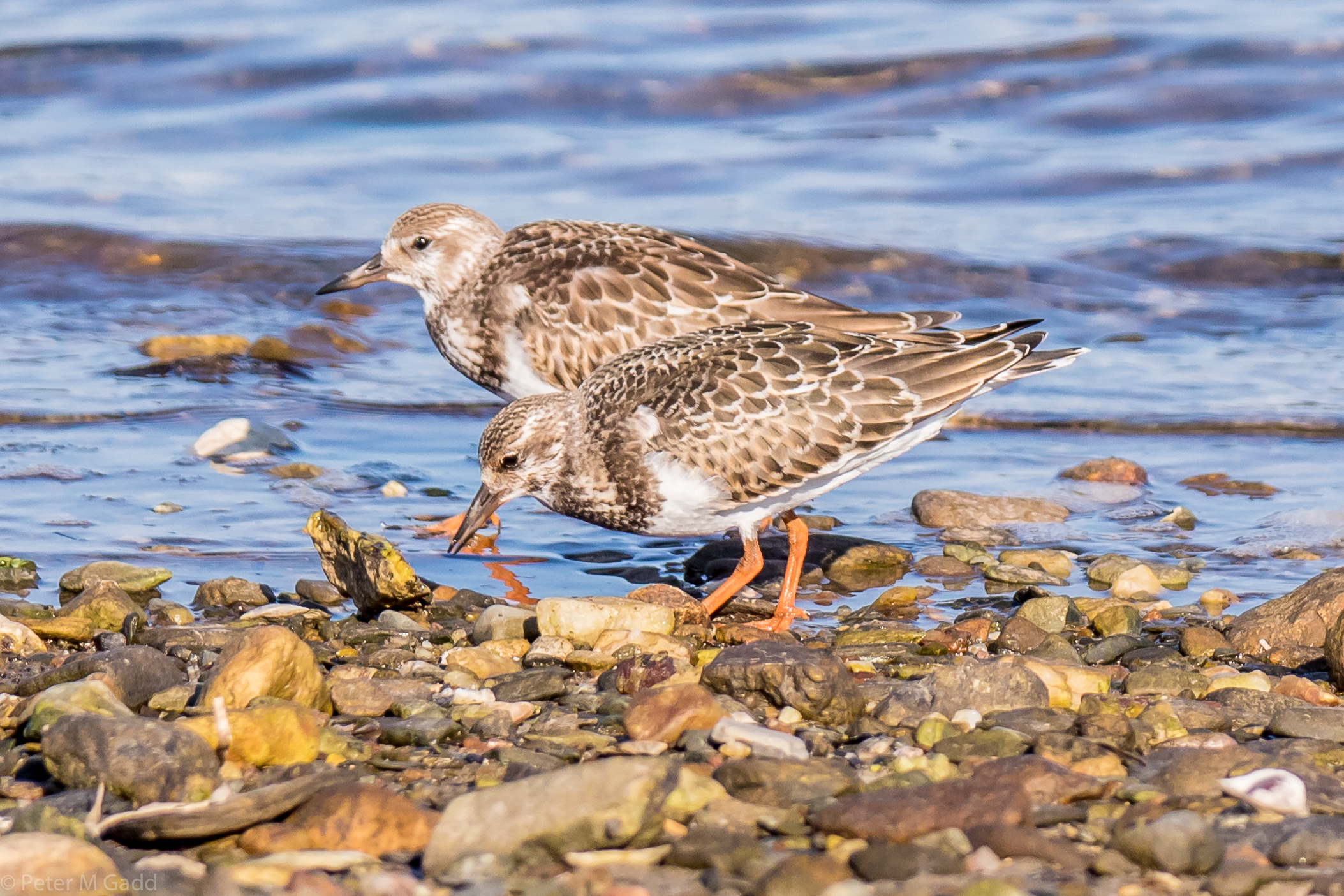
20180915 Rudy Turnstones, Hay Island
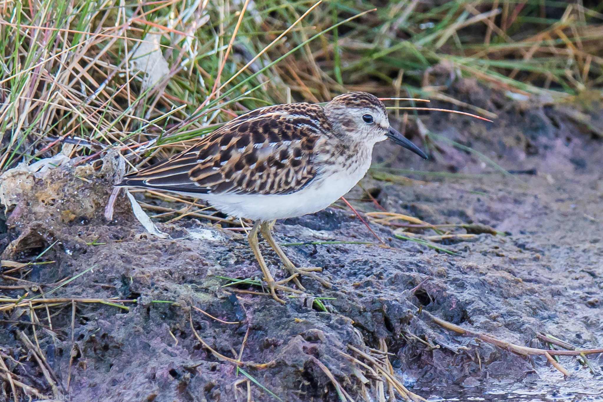
20180915 Least Sandpiper, Hay Island
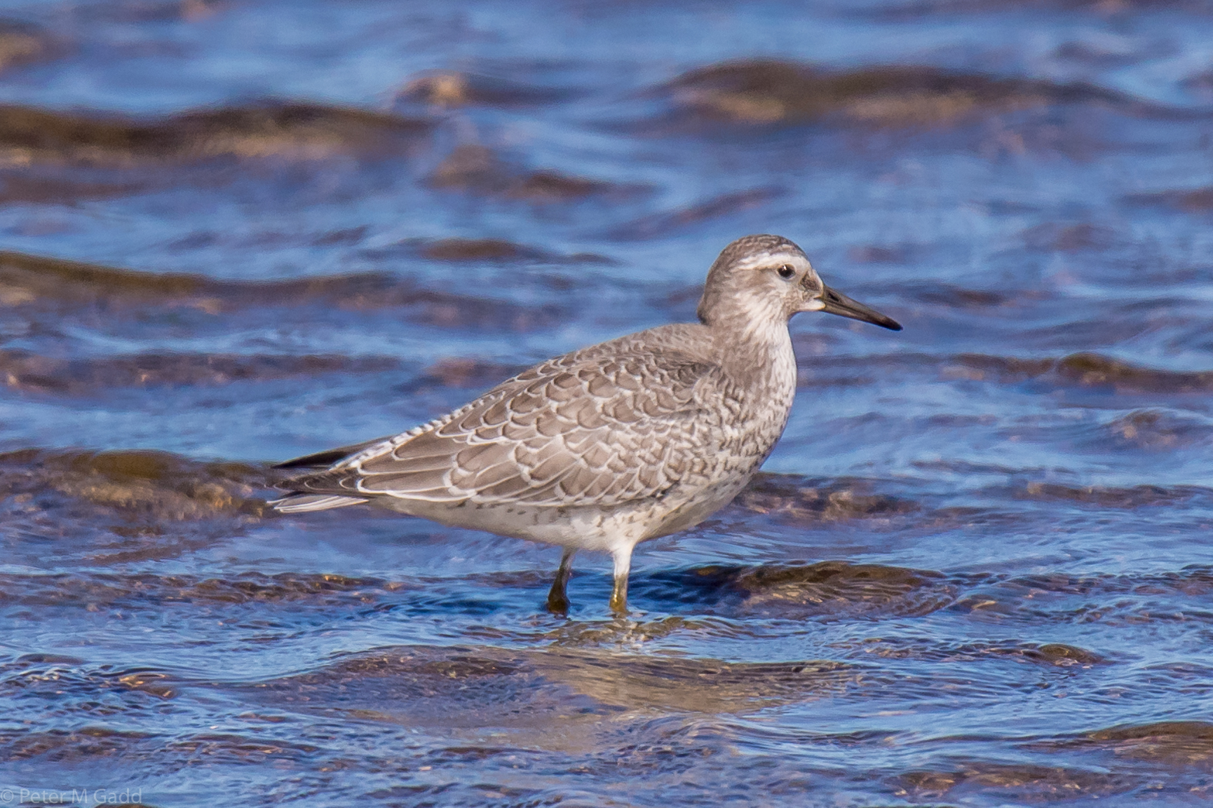
20180910 Red Knot, Hay Island
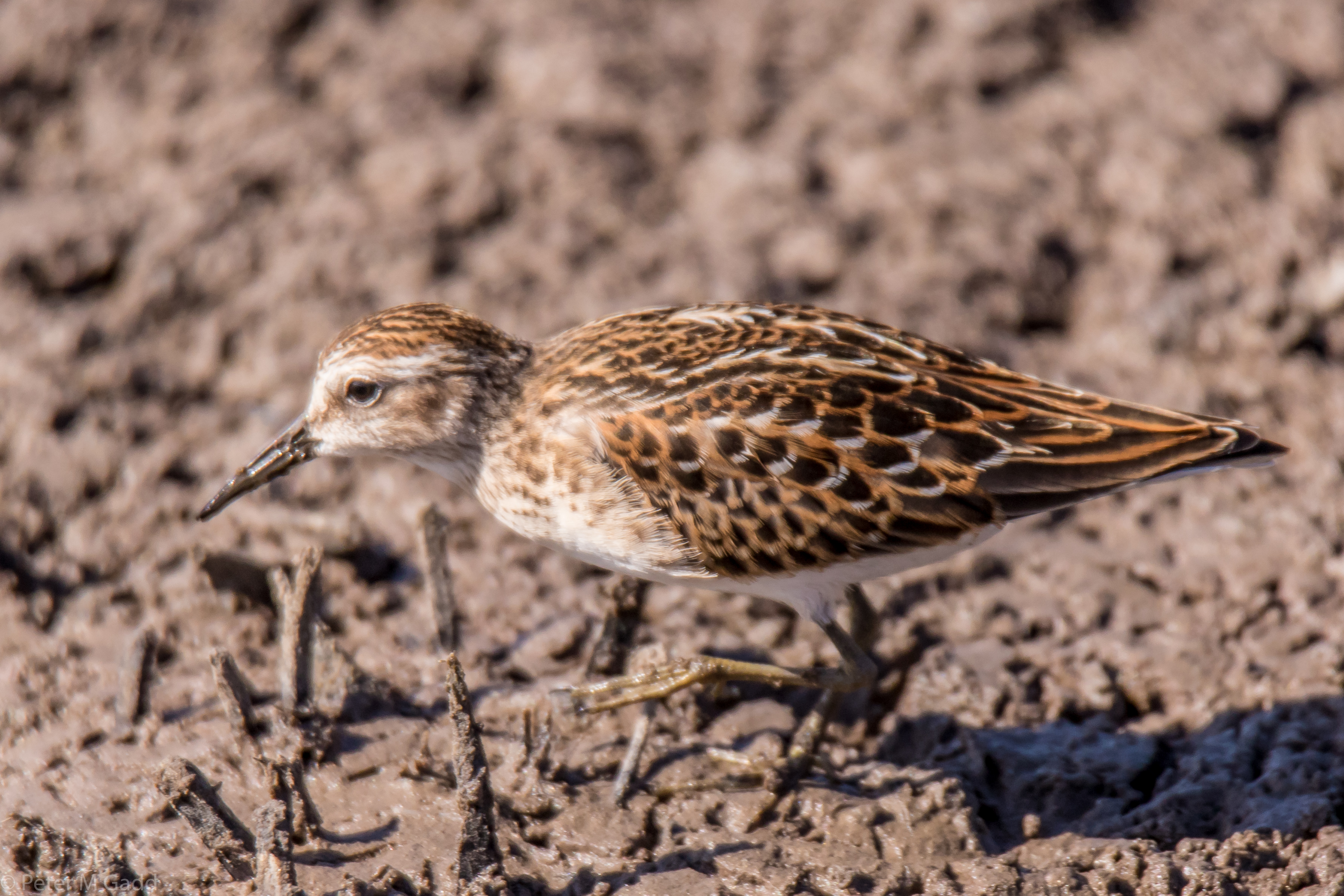
20180910 Least Sandpiper, Hay Island
Kanada – Land der Seen und Wälder - 19. September bis 14. Oktober 2015
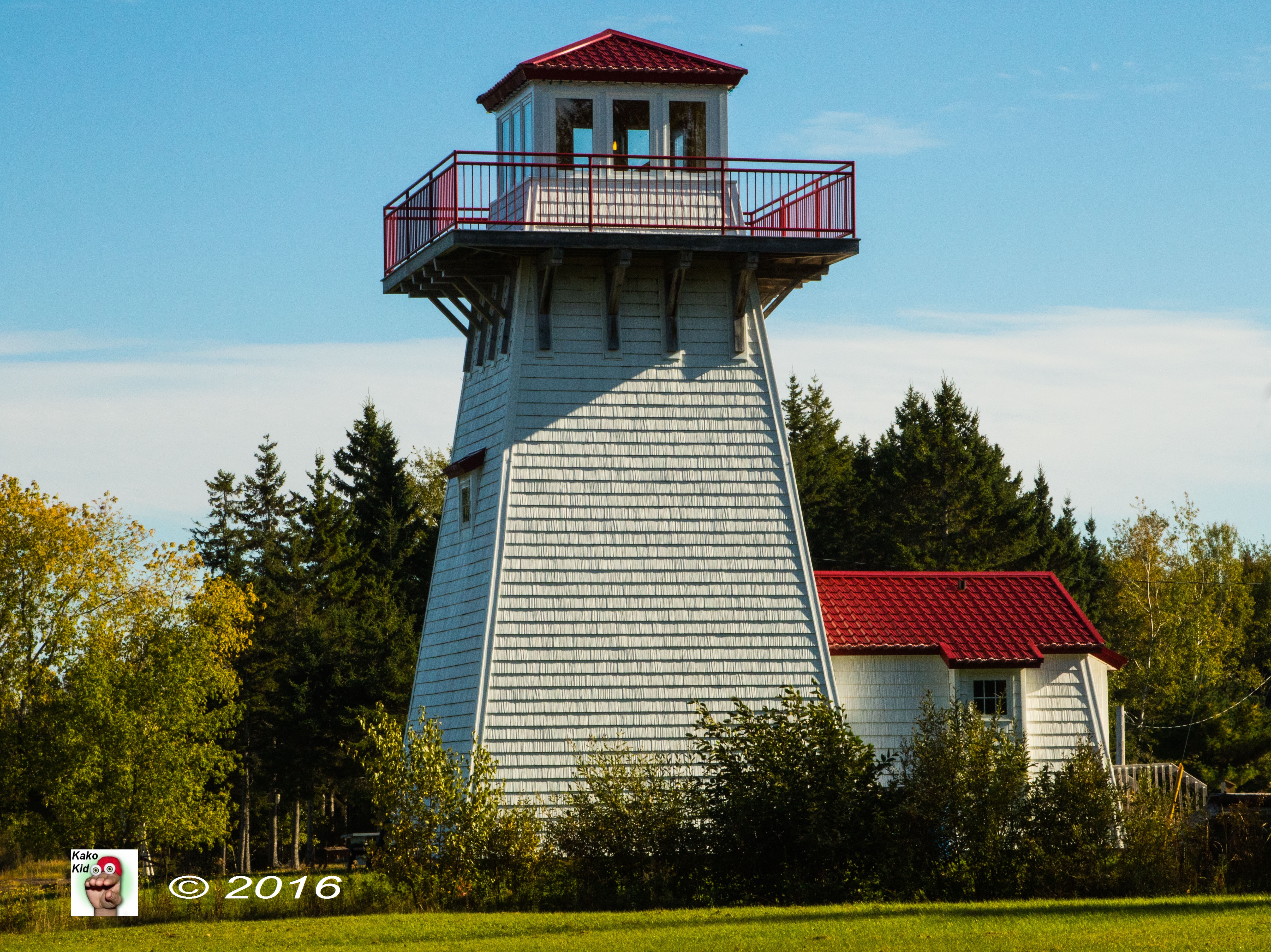
#9--Phare de Tabusintac Lighthouse
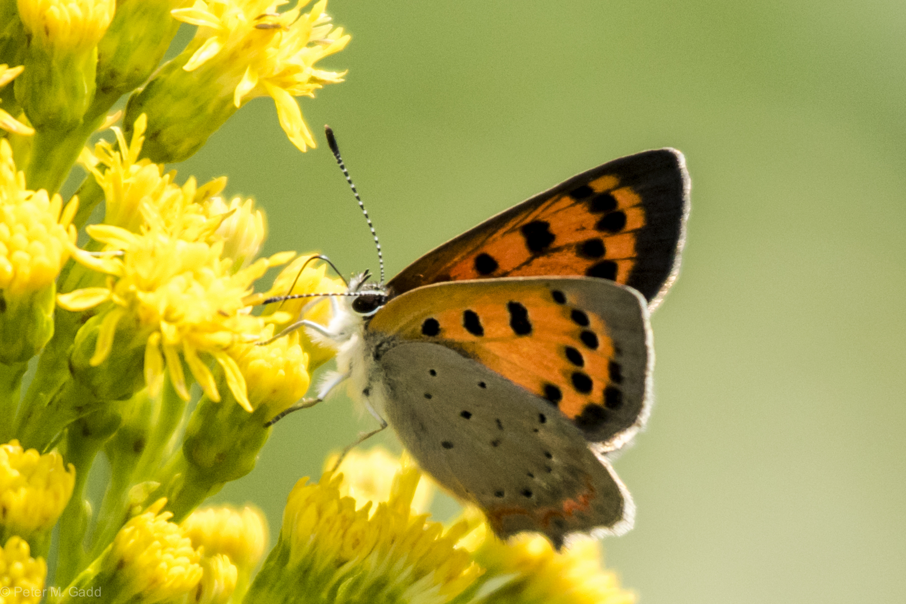
American Copper 20150819 Hay Island (13)
Topographic Map of NB-11, Tabusintac, NB E9H 1H4, Canada
Find elevation by address:

Places near NB-11, Tabusintac, NB E9H 1H4, Canada:
Tabusintac
Covedell
NB-11, Tabusintac, NB E9H 1H2, Canada
222 Covedell Rd
271 Covedell Rd
283 Covedell Rd
280 Covedell Rd
Neguac
11 Rue Gregoire, Néguac, NB E9G 4L1, Canada
Rivière-du-portage
NB-11, Pointe des Robichaud, NB E1X 3E2, Canada
Bayview Dr, New Brunswick E9G 2A8, Canada
Saumarez
Saumarez
Saumarez
NB-11, Village-Saint-Laurent, NB E9G 2J1, Canada
Village-saint-laurent
Saumarez
Chemin Saulnier O, Saumarez, NB E1X 3J3, Canada
Lagacéville
Recent Searches:
- Elevation of Elwyn Dr, Roanoke Rapids, NC, USA
- Elevation of Congressional Dr, Stevensville, MD, USA
- Elevation of Bellview Rd, McLean, VA, USA
- Elevation of Stage Island Rd, Chatham, MA, USA
- Elevation of Shibuya Scramble Crossing, 21 Udagawacho, Shibuya City, Tokyo -, Japan
- Elevation of Jadagoniai, Kaunas District Municipality, Lithuania
- Elevation of Pagonija rock, Kranto 7-oji g. 8"N, Kaunas, Lithuania
- Elevation of Co Rd 87, Jamestown, CO, USA
- Elevation of Tenjo, Cundinamarca, Colombia
- Elevation of Côte-des-Neiges, Montreal, QC H4A 3J6, Canada