Elevation of NB-11, Tabusintac, NB E9H 1H2, Canada
Location: Canada > New Brunswick > Northumberland County > Alnwick > Tabusintac >
Longitude: -65.014934
Latitude: 47.3153057
Elevation: 9m / 30feet
Barometric Pressure: 101KPa
Elevation Map:
Satellite Map:
Related Photos:
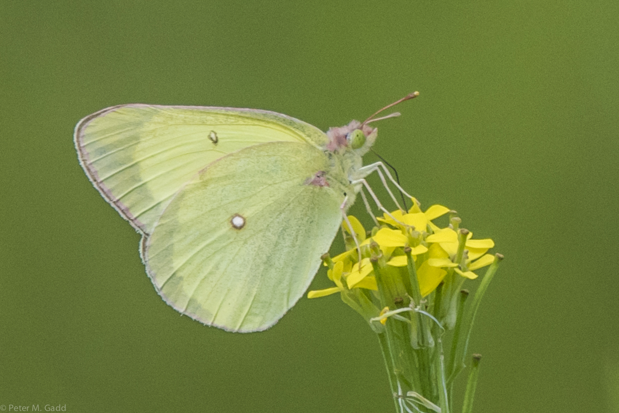
Pink-edged Sulphur 20150729 Malpec Road, Tabusintac Area (16)
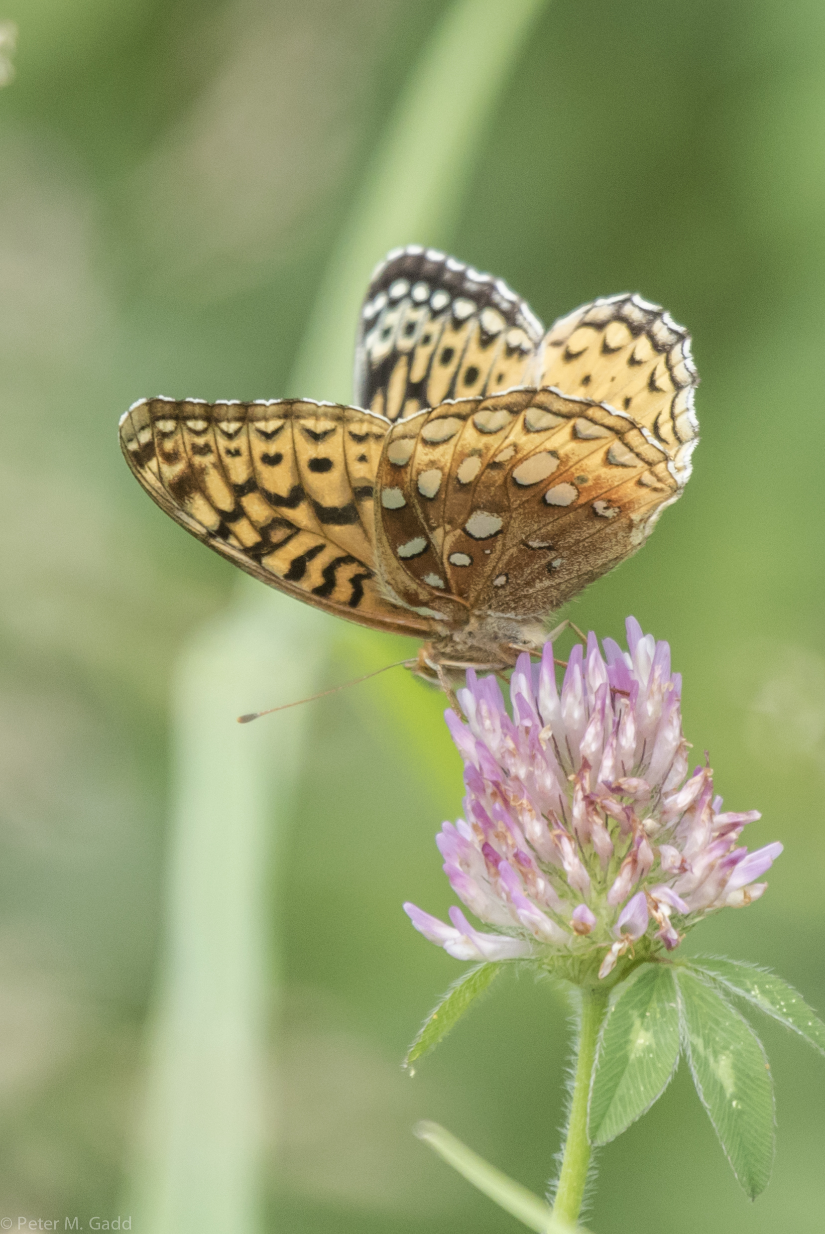
Great Spangled Fritillary (yellow) 4 20150729 Malpec Road, Tabusintac Area (7)
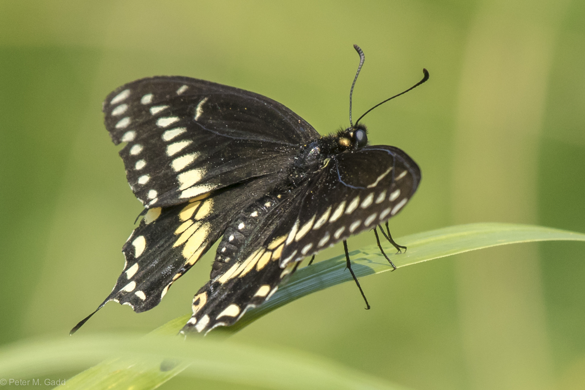
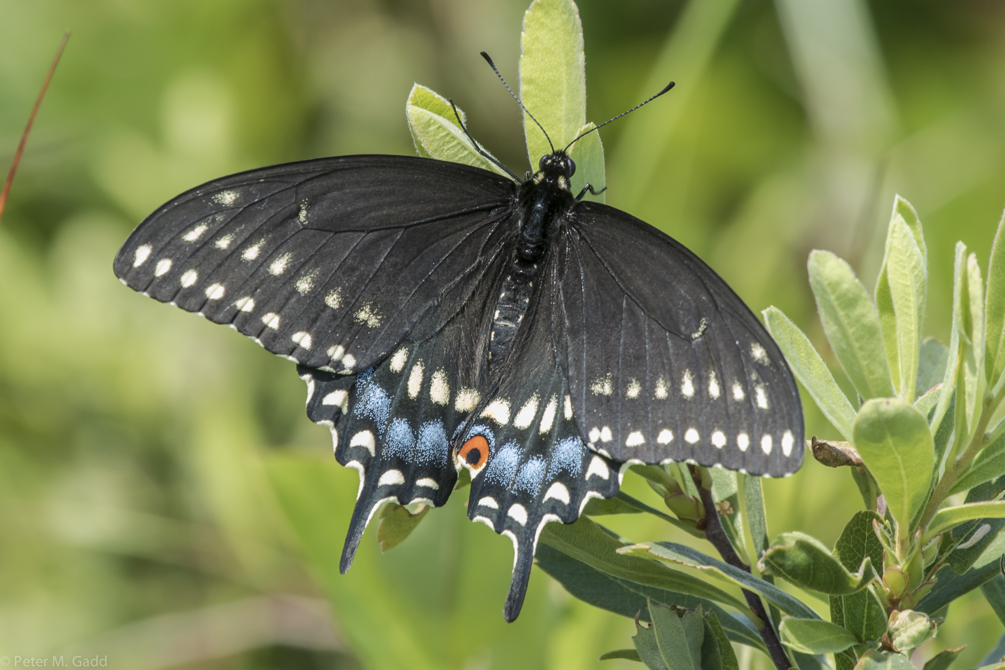
Black Swallowtail 20150819 Hay Island (9)
Black Swallowtail 20150819 Malpec Road (2)

Black Swallowtail 20150819 Hay Island (7)
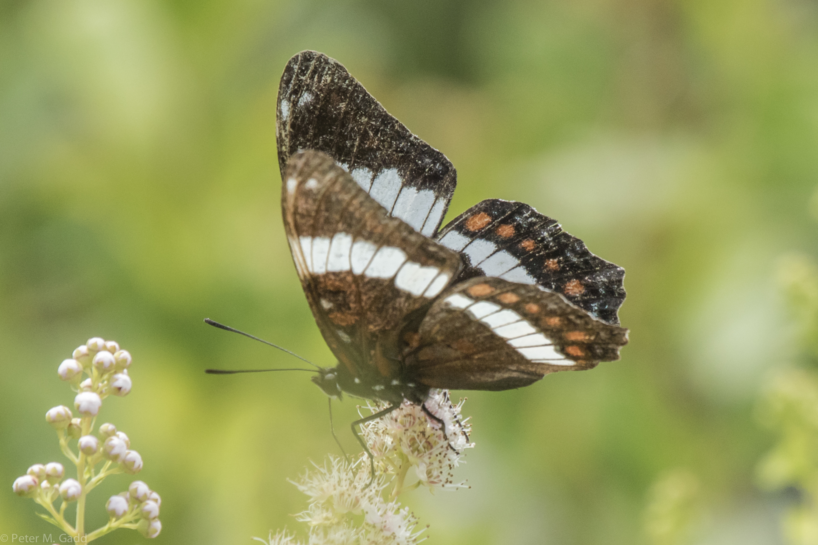
White Admiral 20150729 Hay Island
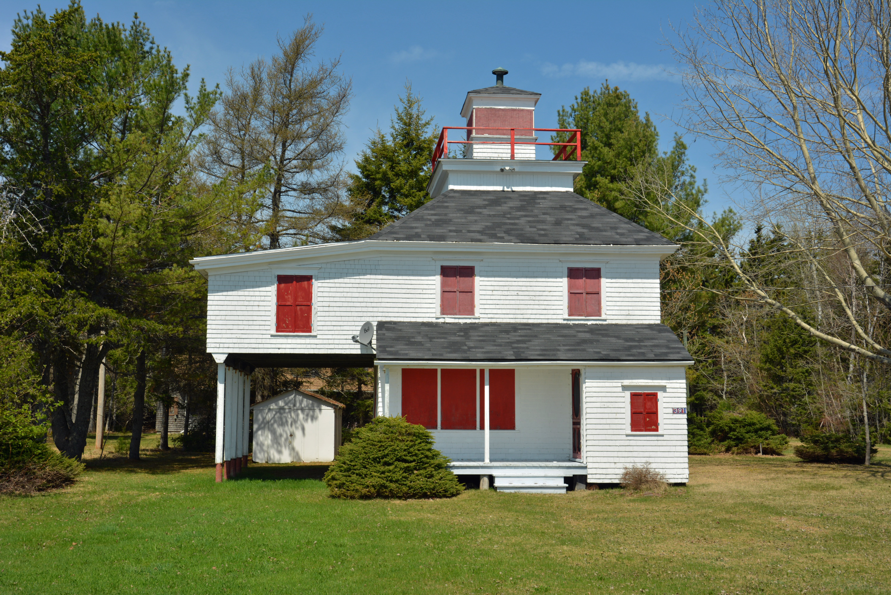
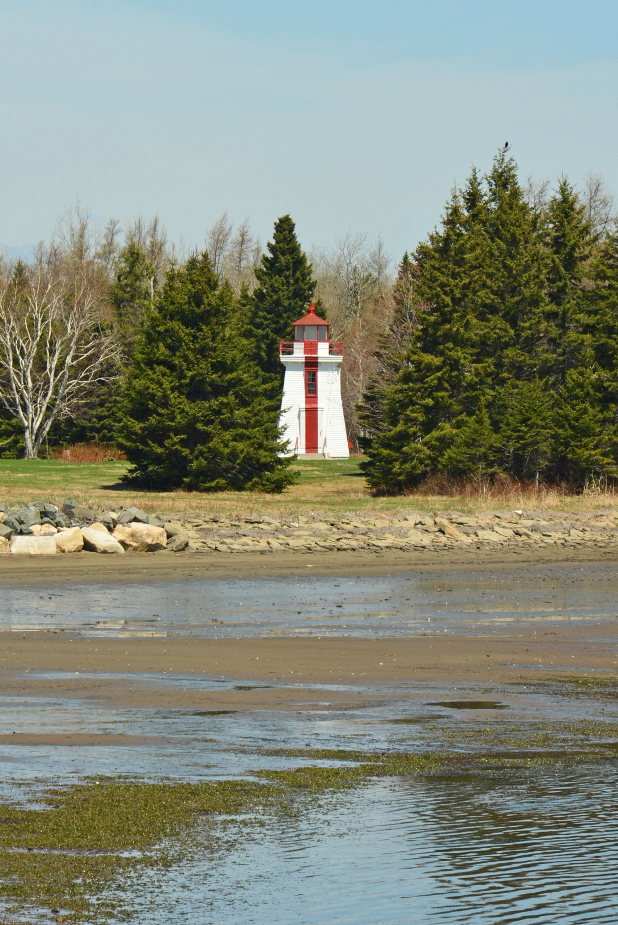
Grand Dune Flats Range (front) Lighthouse, NB

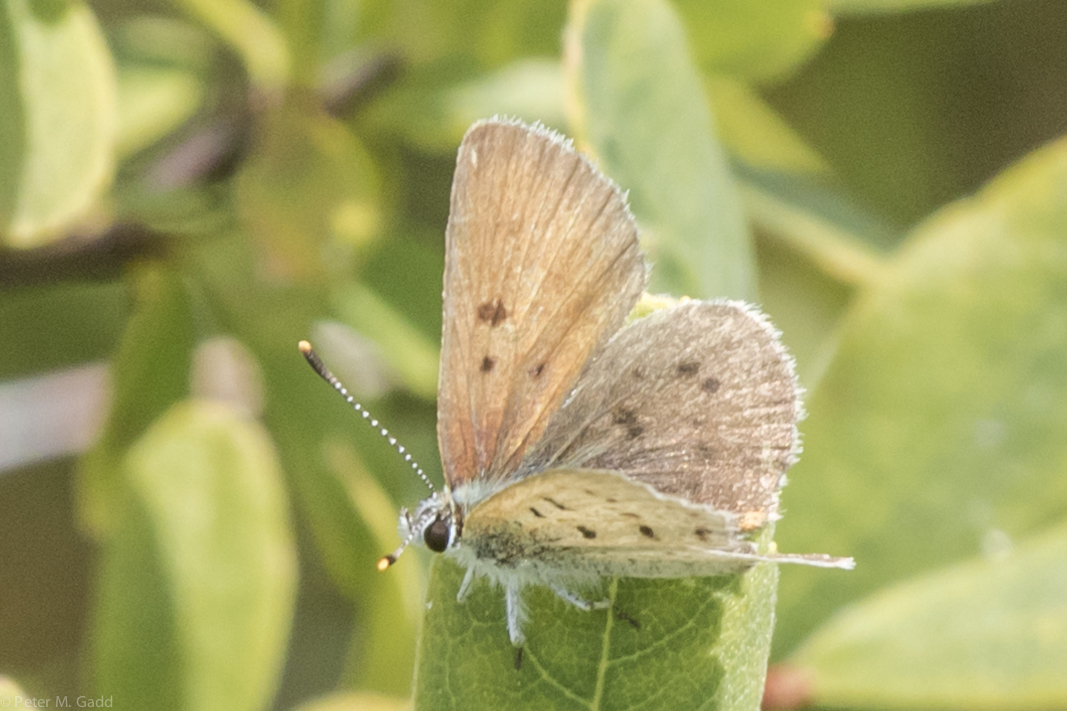
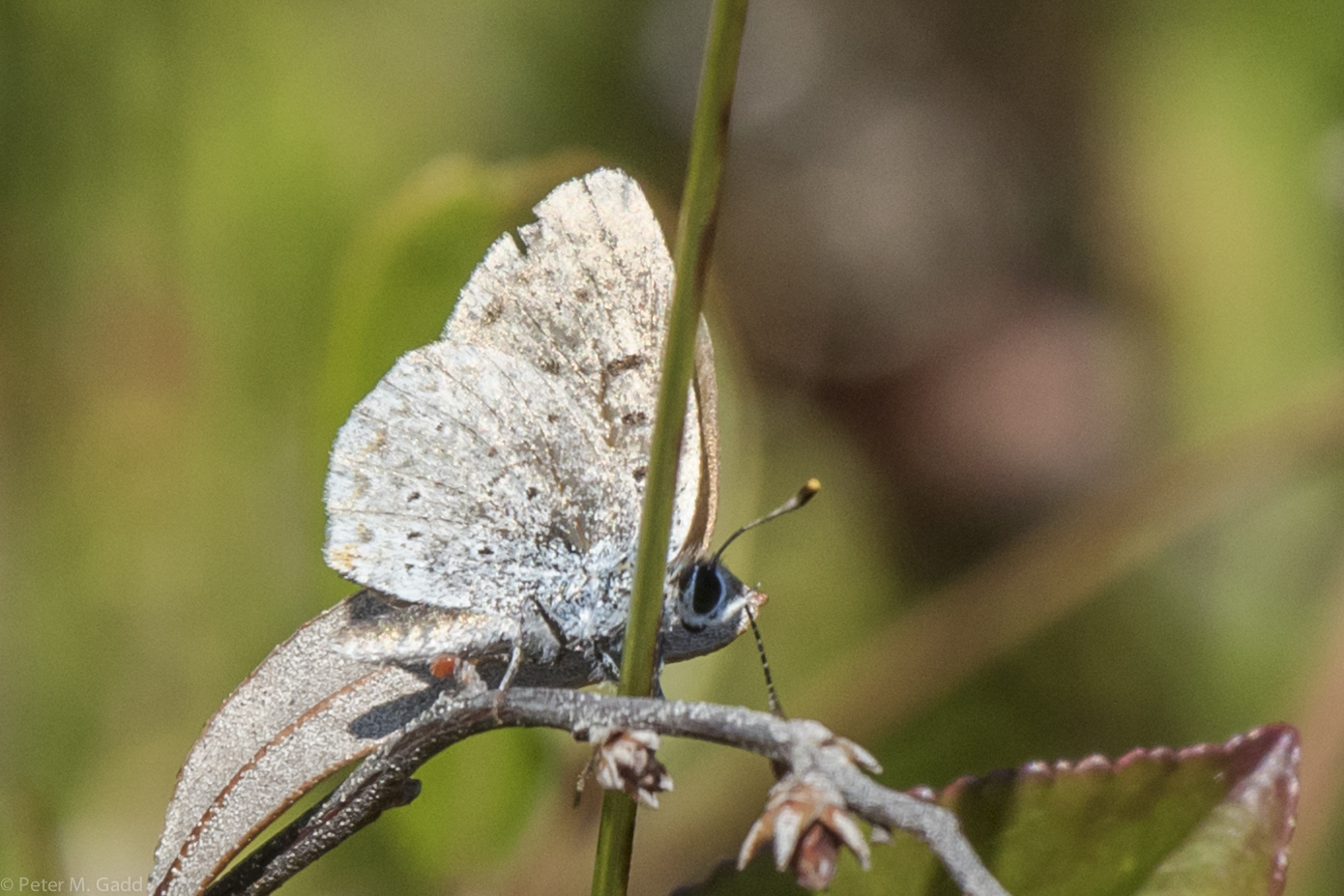
American Copper 20150819 Hay Island (13)
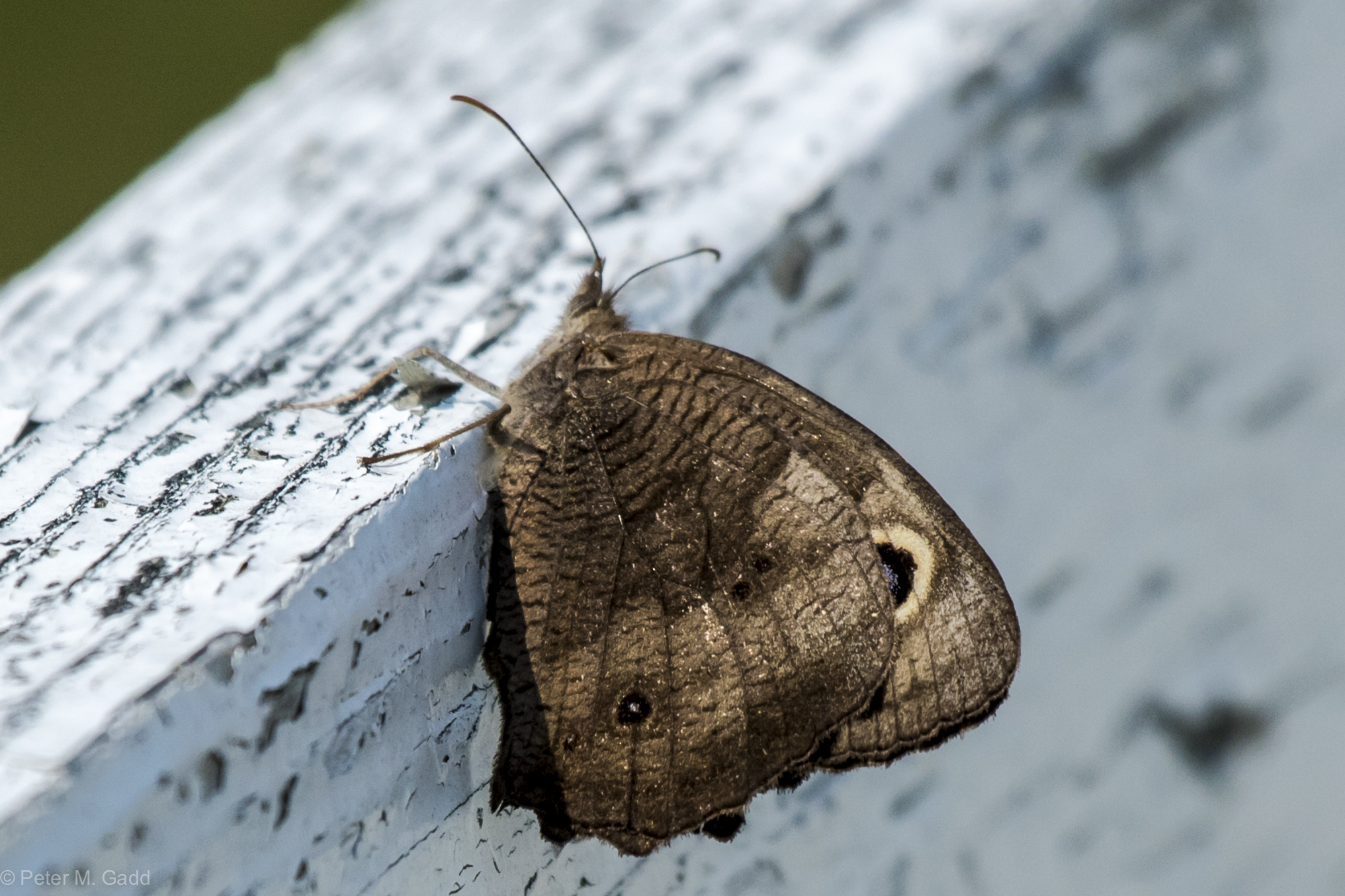
20150819 Common Wood Nymph, Hay Island
Bog Copper 20150729 Malpec Road, Tabusintac Area (8)
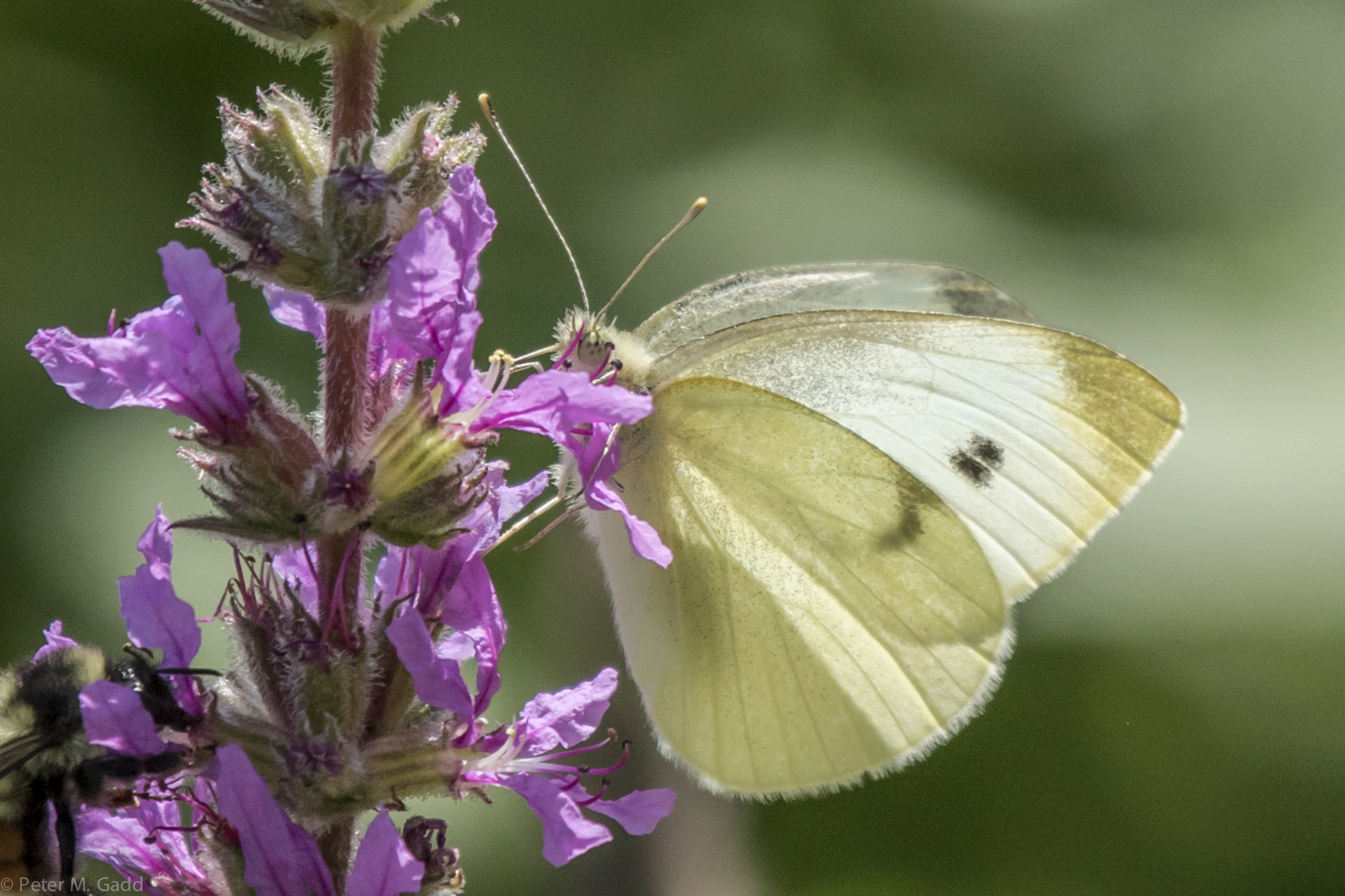
Cabbage White 20150729 Malpec Road, tabusintac Area (14)
Bog Copper 20150729 Malpec Road, Tabusintac Area (7)
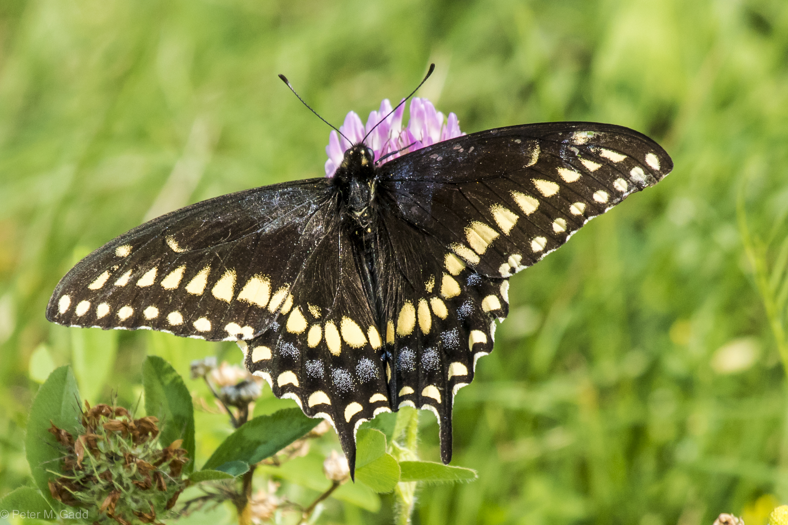
Black Swallowtail 20150729 Malpec Road, tabusintac Area (5)
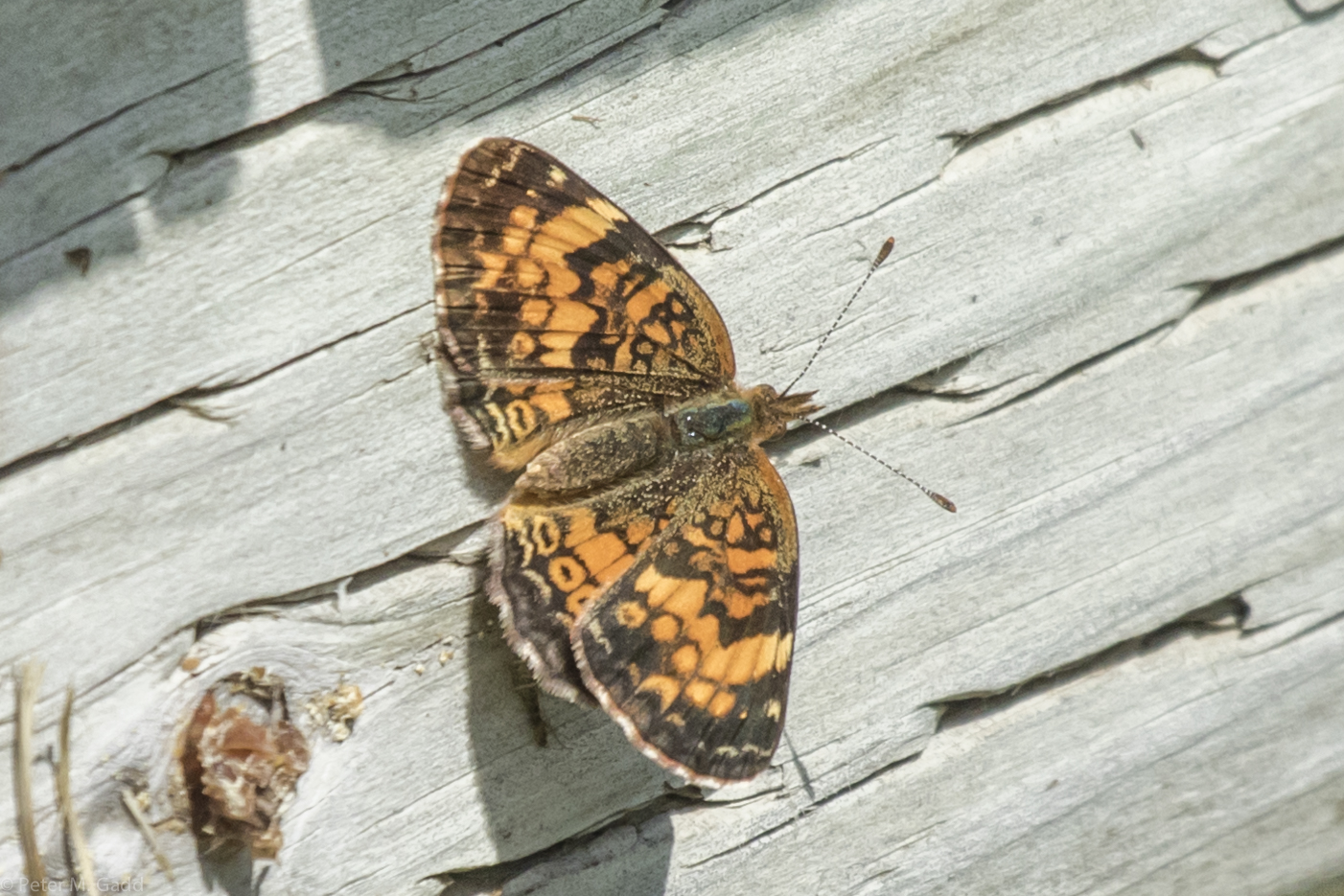
Northern Crescent 20150729 Hay Island Trip-9 (4)
Lower Neguac Range (rear) Lighthouse, NB

Besökare Samtidigt

Ile aux foins

Ile aux foins

Ile aux foins

Ile aux foins

Ile aux foins
Topographic Map of NB-11, Tabusintac, NB E9H 1H2, Canada
Find elevation by address:

Places near NB-11, Tabusintac, NB E9H 1H2, Canada:
Covedell
Tabusintac
4521 Nb-11
222 Covedell Rd
271 Covedell Rd
280 Covedell Rd
283 Covedell Rd
Neguac
11 Rue Gregoire, Néguac, NB E9G 4L1, Canada
Rivière-du-portage
Bayview Dr, New Brunswick E9G 2A8, Canada
NB-11, Village-Saint-Laurent, NB E9G 2J1, Canada
Village-saint-laurent
NB-11, Pointe des Robichaud, NB E1X 3E2, Canada
Saumarez
Saumarez
Saumarez
Lagacéville
Saumarez
Chemin Saulnier O, Saumarez, NB E1X 3J3, Canada
Recent Searches:
- Elevation of Corso Fratelli Cairoli, 35, Macerata MC, Italy
- Elevation of Tallevast Rd, Sarasota, FL, USA
- Elevation of 4th St E, Sonoma, CA, USA
- Elevation of Black Hollow Rd, Pennsdale, PA, USA
- Elevation of Oakland Ave, Williamsport, PA, USA
- Elevation of Pedrógão Grande, Portugal
- Elevation of Klee Dr, Martinsburg, WV, USA
- Elevation of Via Roma, Pieranica CR, Italy
- Elevation of Tavkvetili Mountain, Georgia
- Elevation of Hartfords Bluff Cir, Mt Pleasant, SC, USA