Elevation of Covedell Rd, Tabusintac, NB E9H 1E7, Canada
Location: Canada > New Brunswick > Northumberland County > Alnwick > Tabusintac >
Longitude: -64.980615
Latitude: 47.3266322
Elevation: 4m / 13feet
Barometric Pressure: 101KPa
Elevation Map:
Satellite Map:
Related Photos:
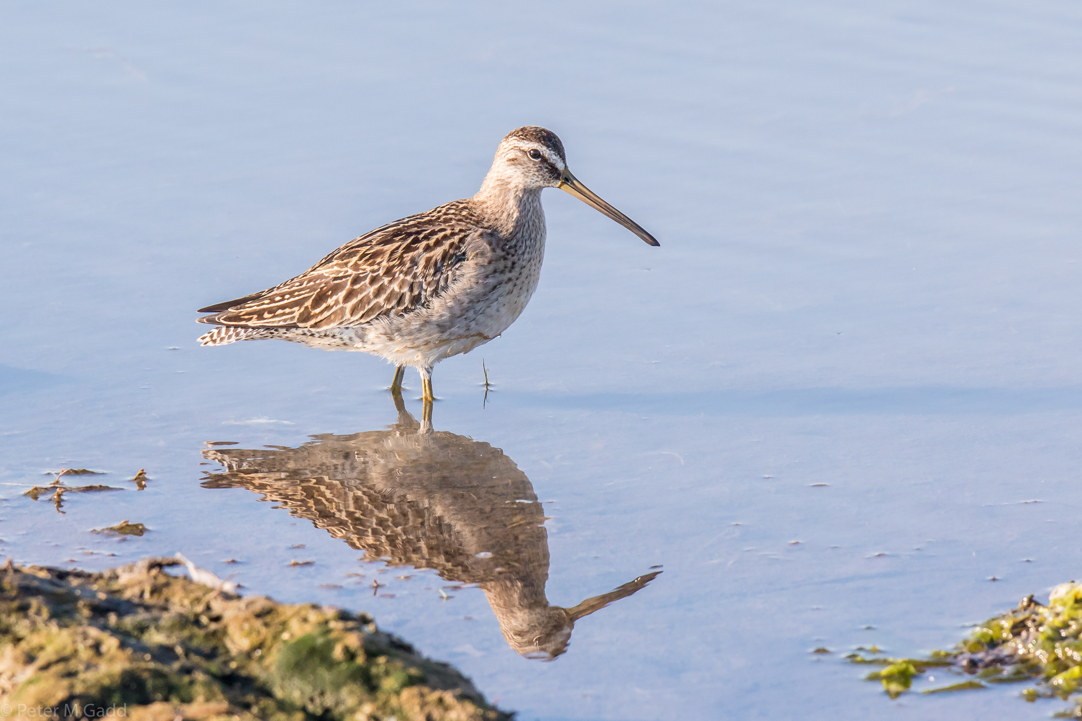
20180915 Short-billed Dowitcher, Hay Island (1)
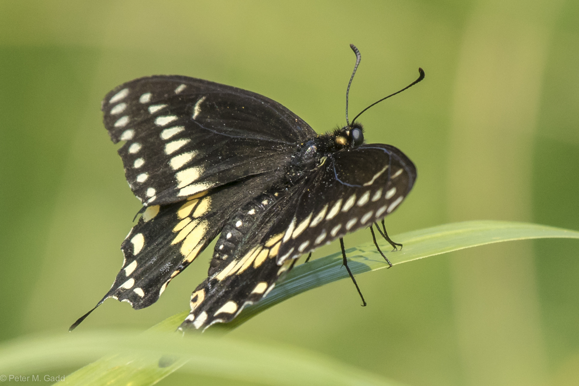
Black Swallowtail 20150819 Hay Island (9)
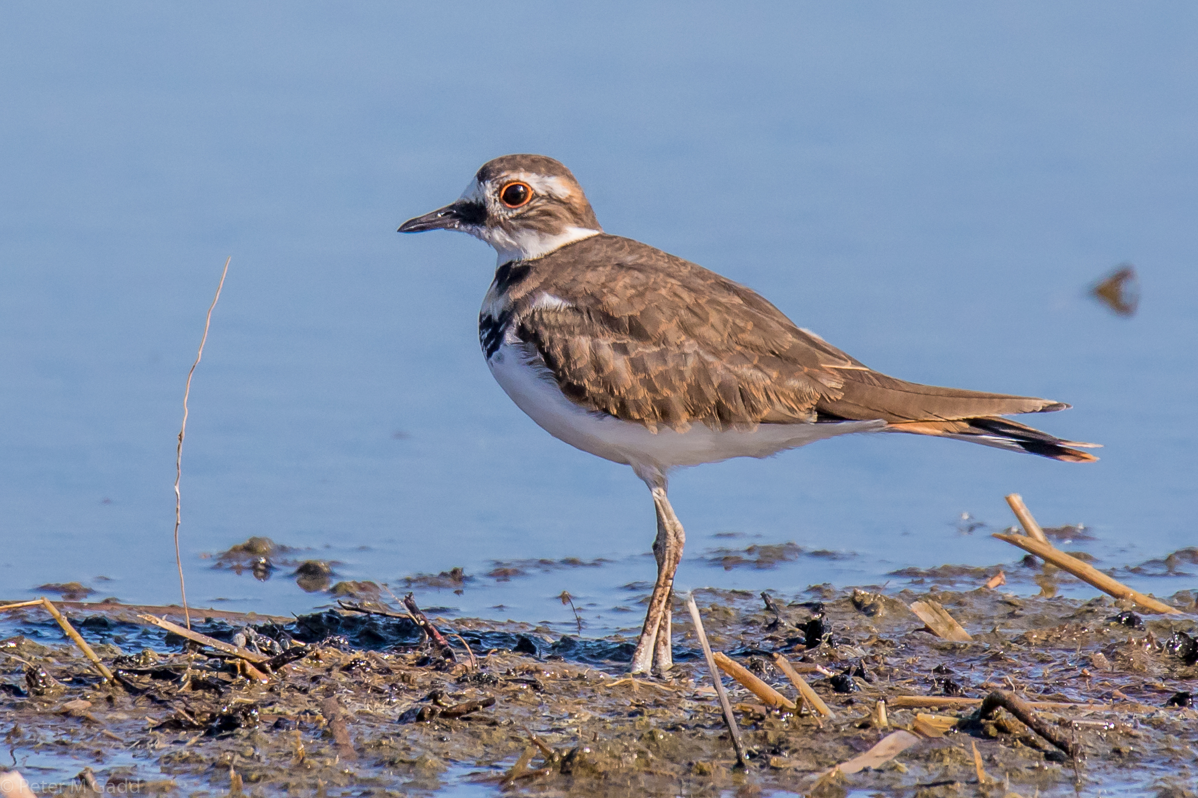
20180915 Killdeer, Hay Island
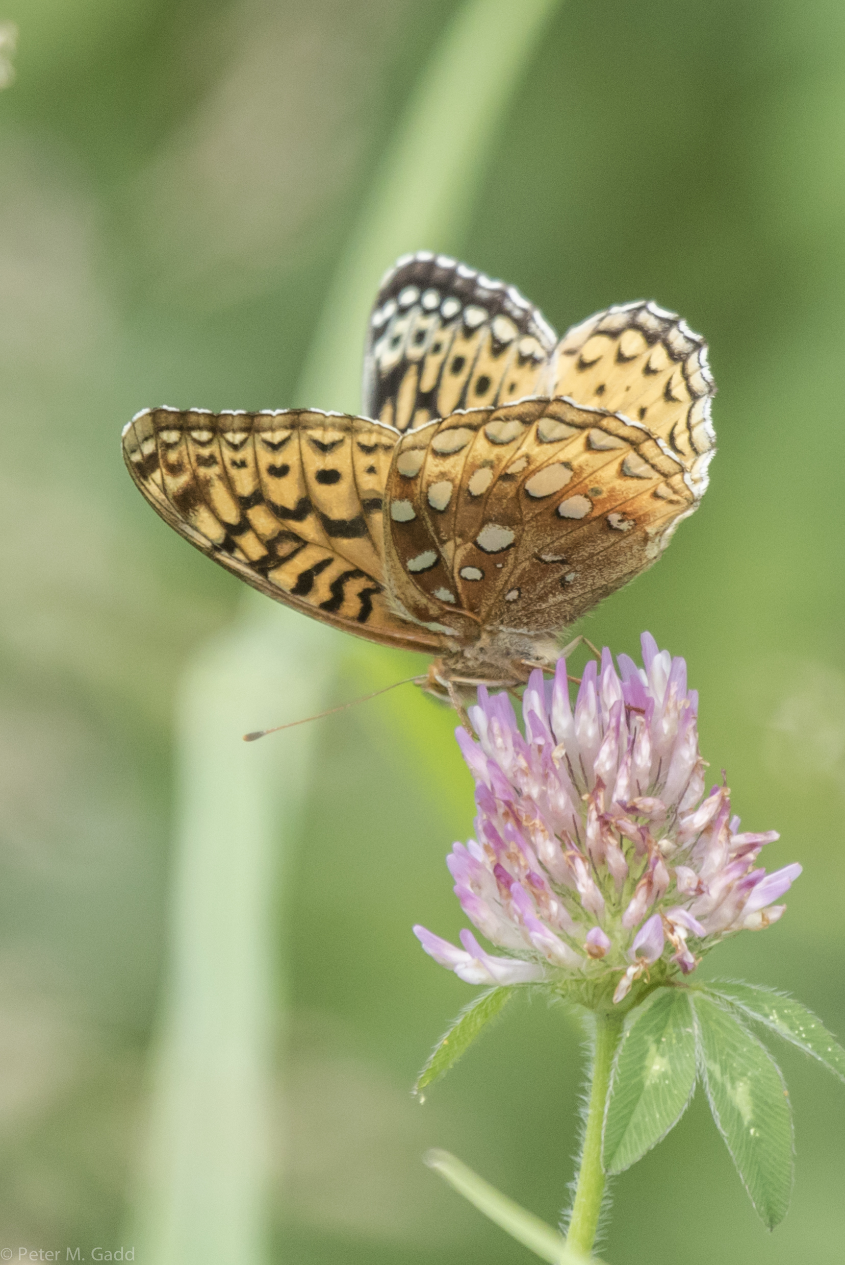
Great Spangled Fritillary (yellow) 4 20150729 Malpec Road, Tabusintac Area (7)
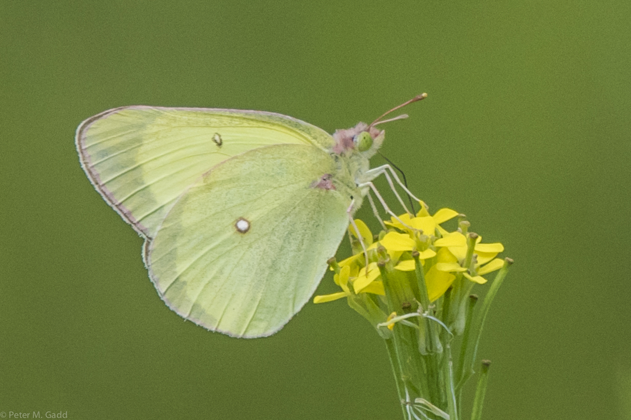
Pink-edged Sulphur 20150729 Malpec Road, Tabusintac Area (16)
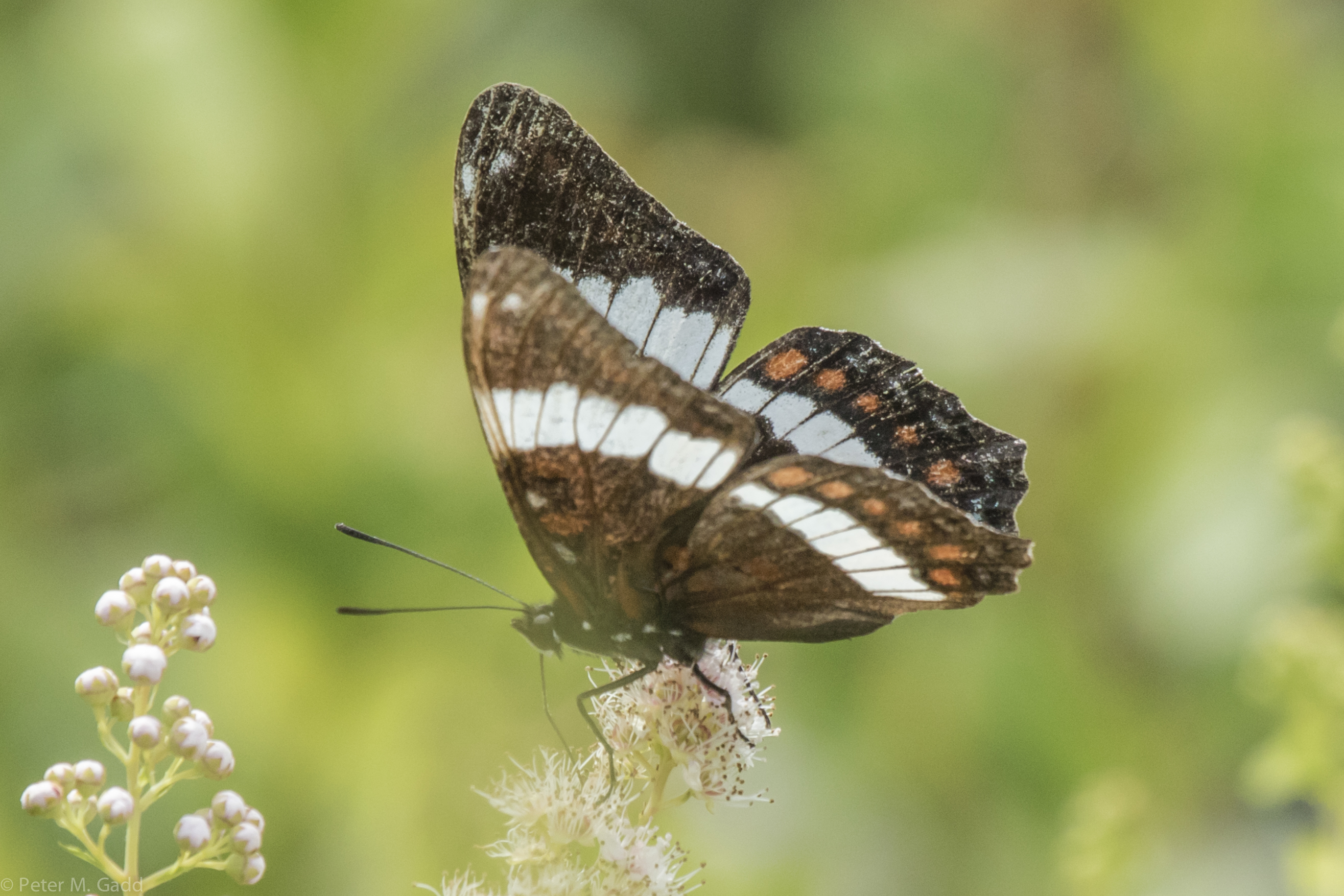
White Admiral 20150729 Hay Island

Black Swallowtail 20150819 Hay Island (7)
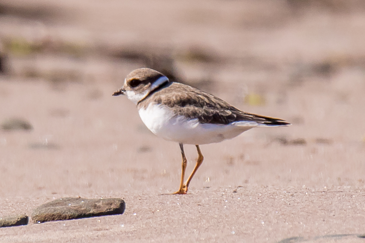
20180910 Semipalmated Plover, Cedriere Beach
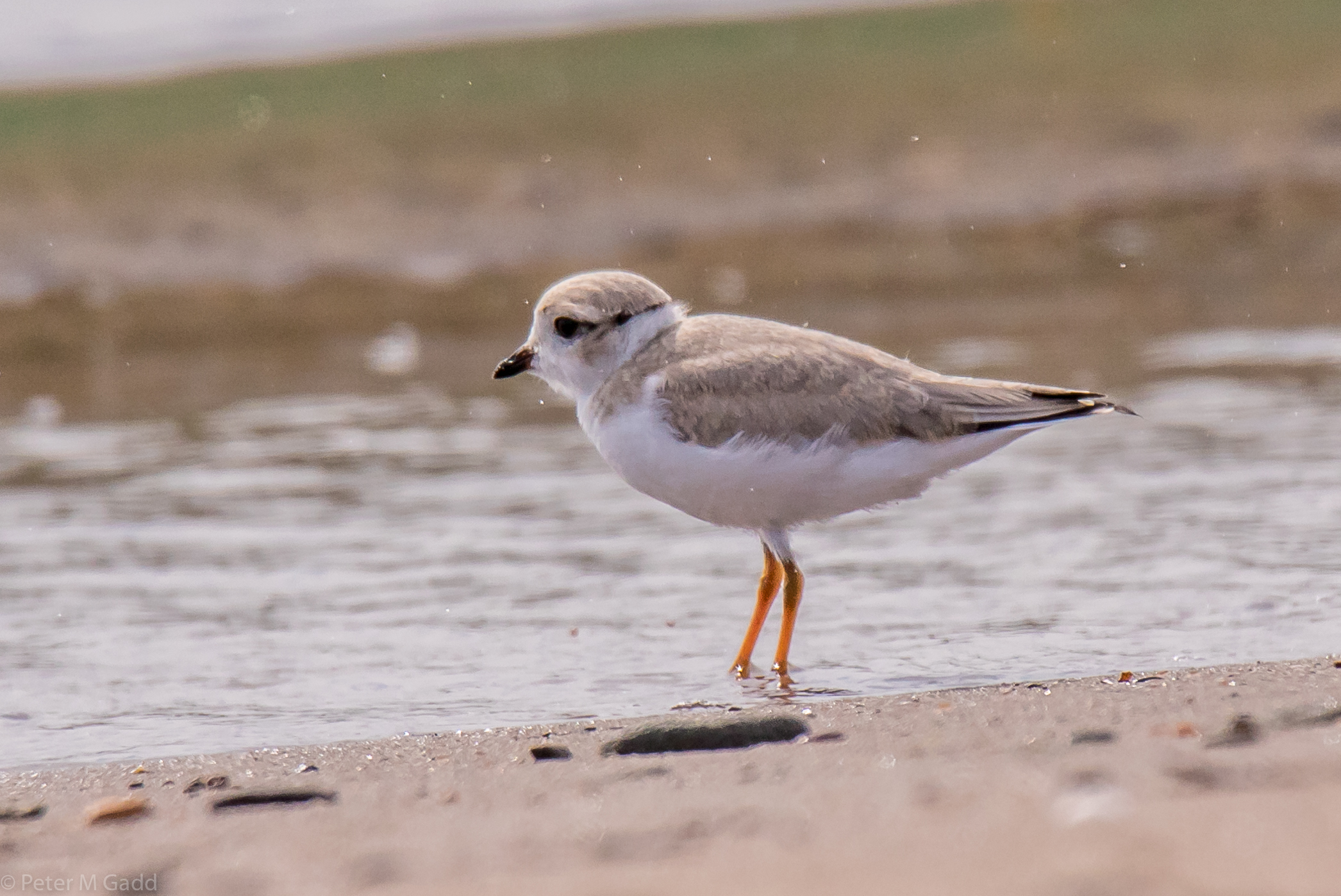
20180731 Cedriere Beach - Piping Plovers (3)
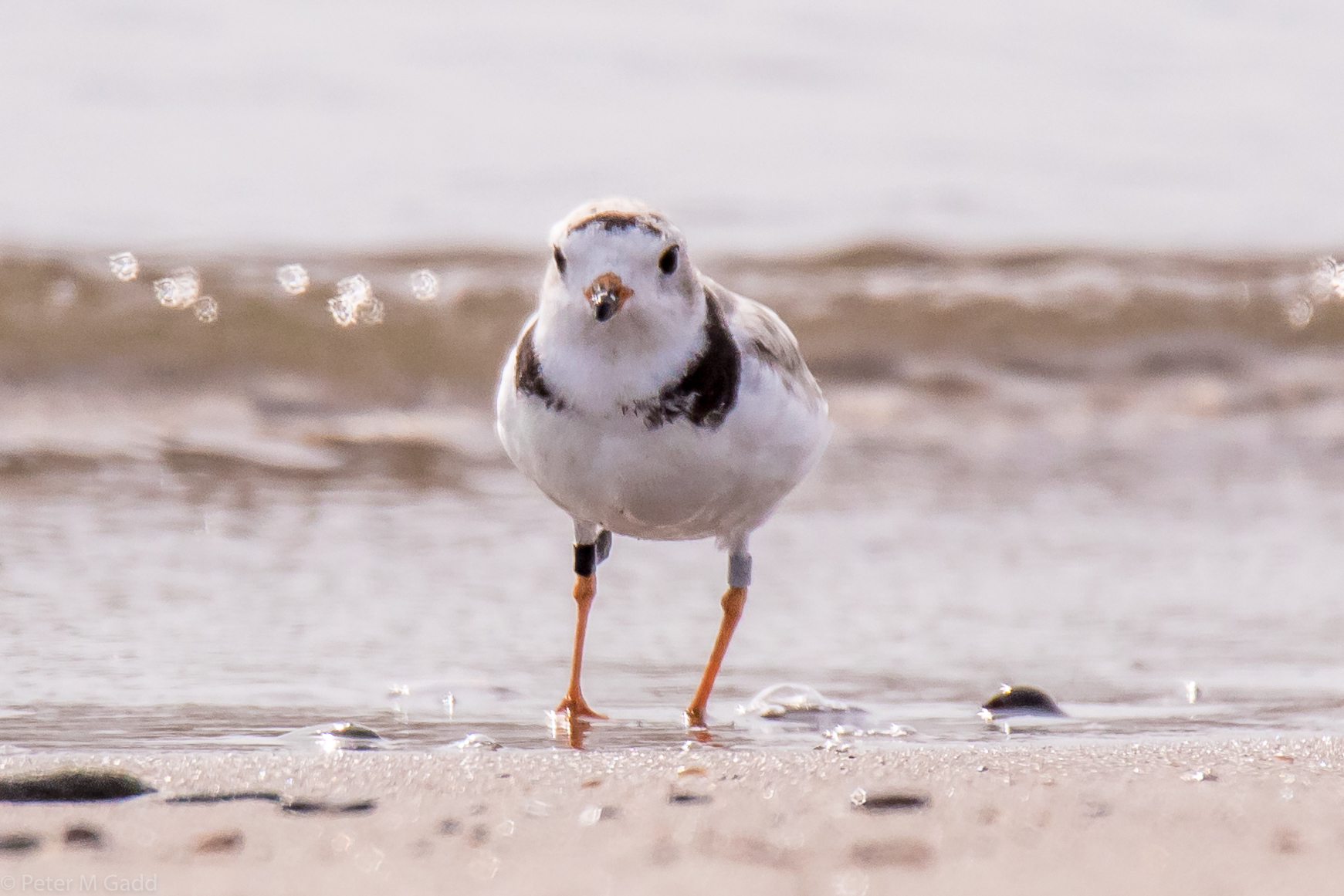
20180731 Cedriere Beach - Piping Plovers (1)
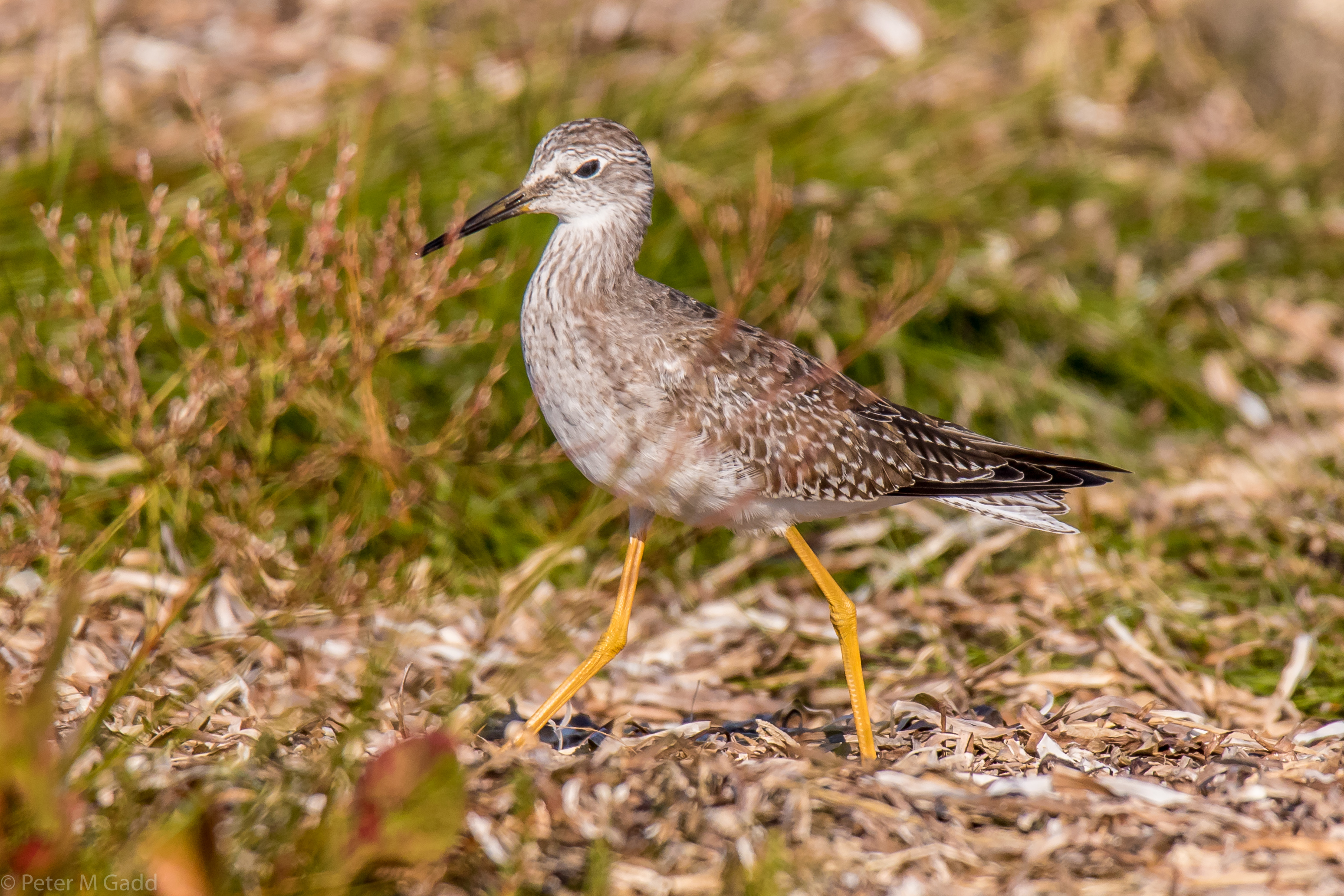
20180915 Lesser Yellowlegs,Hay Island
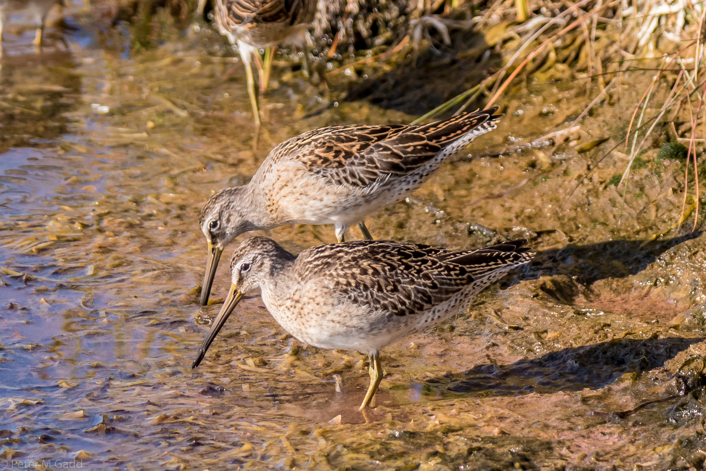
20180915 Short-billed Dowitcher, Hay Island (2)
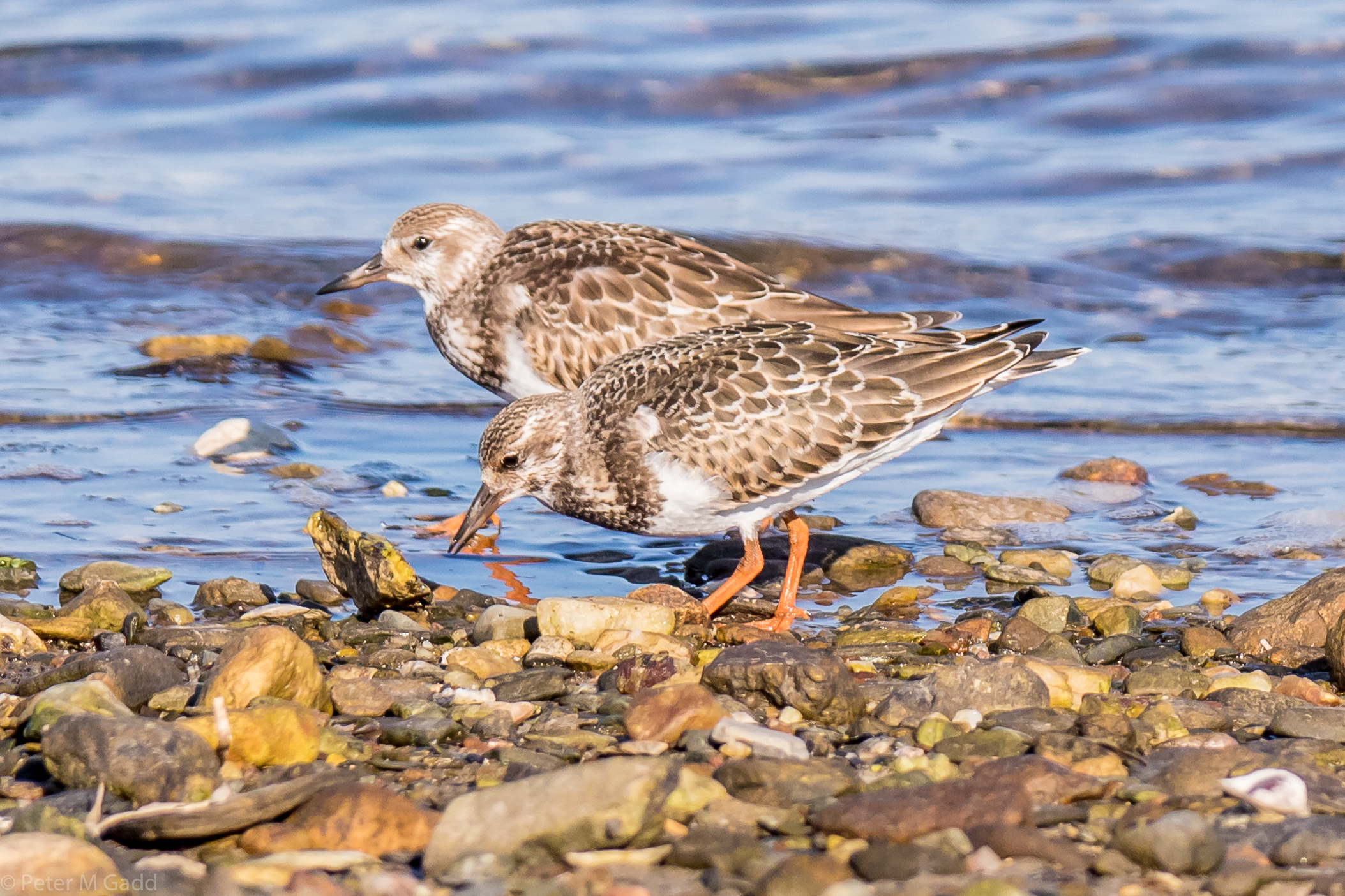
20180915 Rudy Turnstones, Hay Island
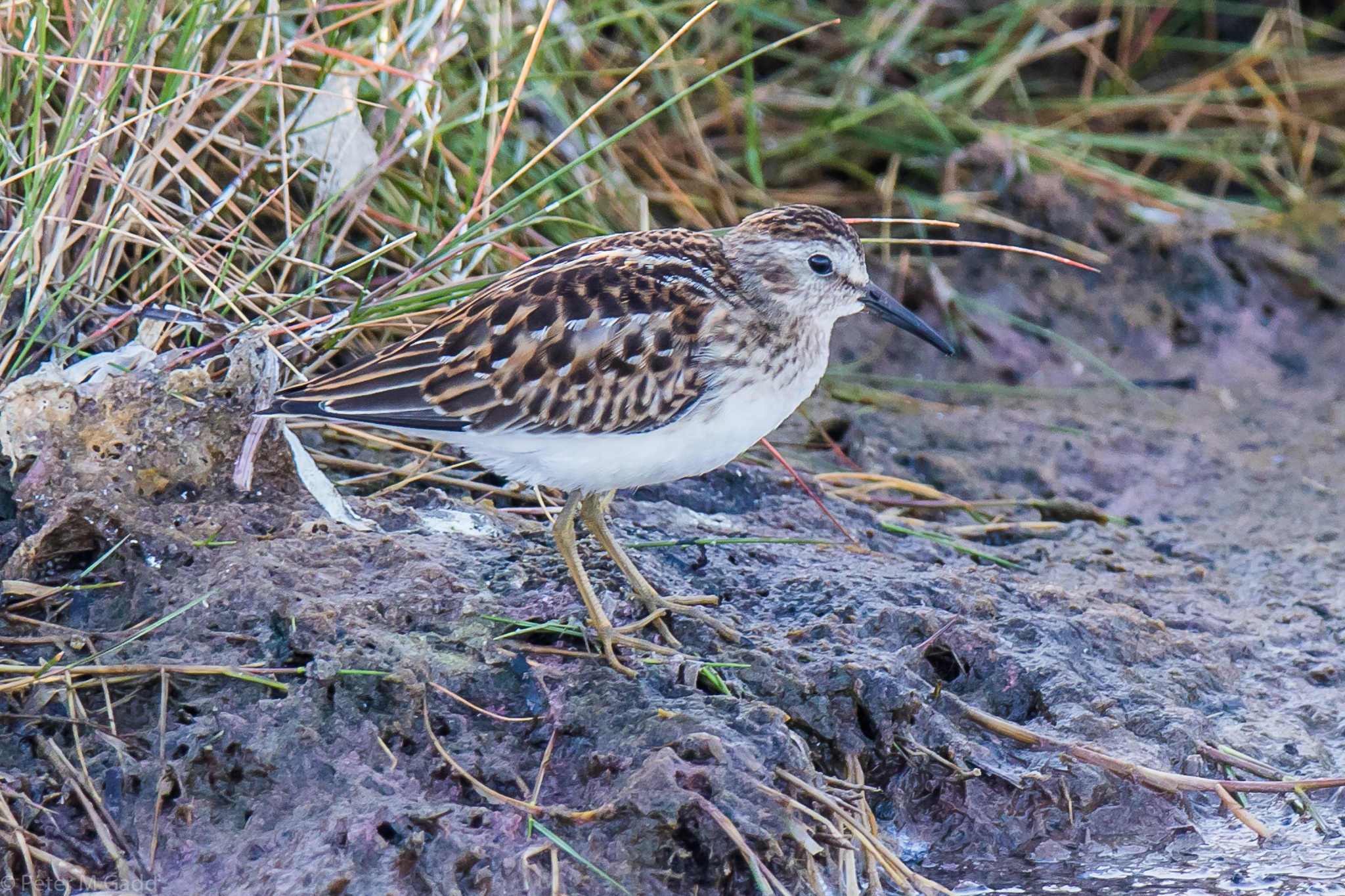
20180915 Least Sandpiper, Hay Island
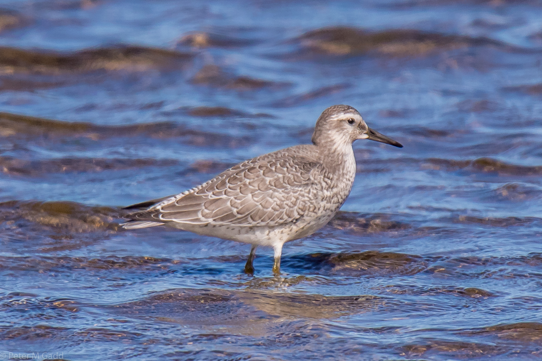
20180910 Red Knot, Hay Island
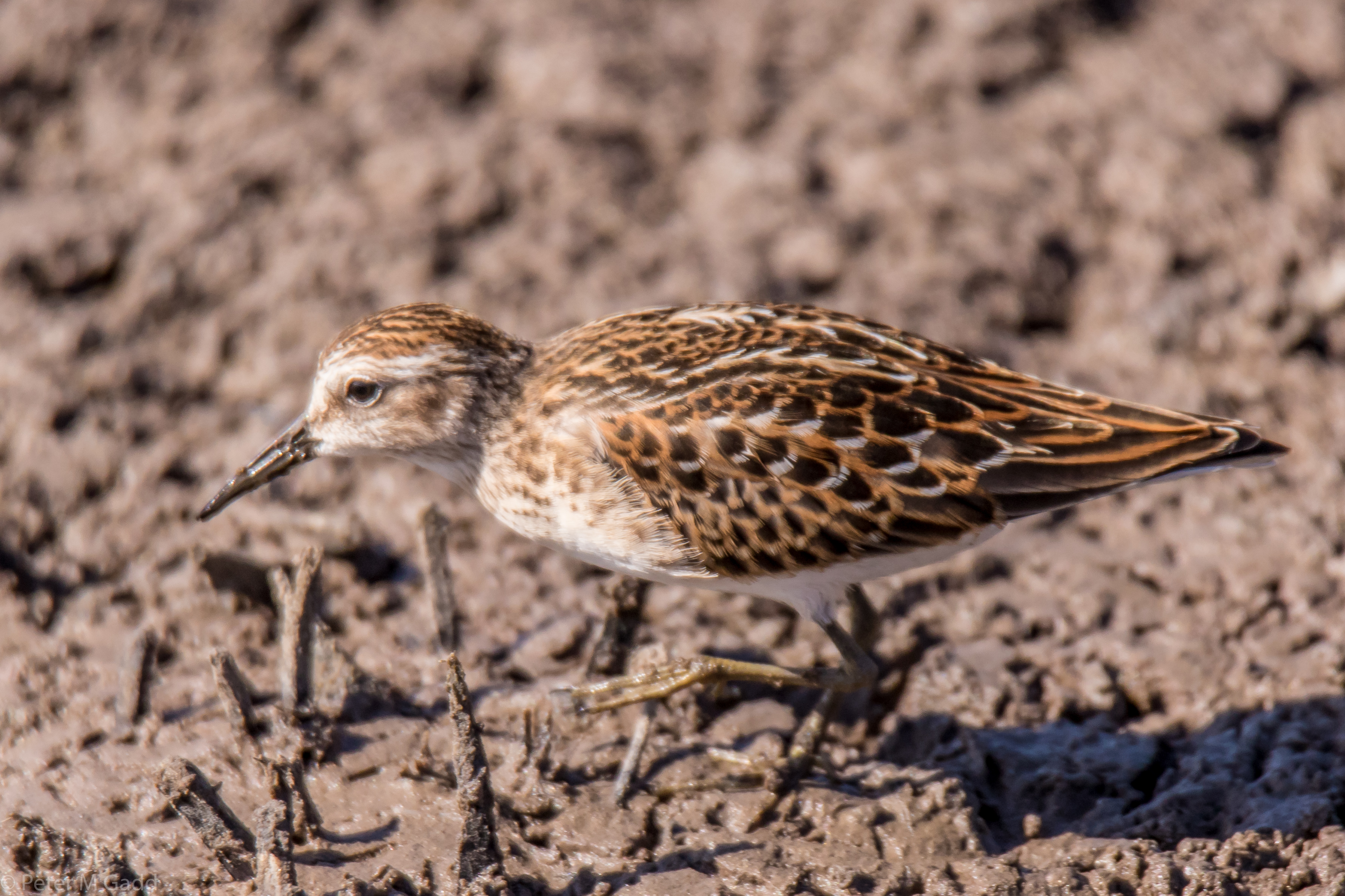
20180910 Least Sandpiper, Hay Island
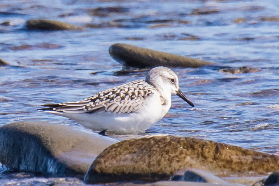
20180910 Sanderling, Cedriere Beach
Kanada – Land der Seen und Wälder - 19. September bis 14. Oktober 2015
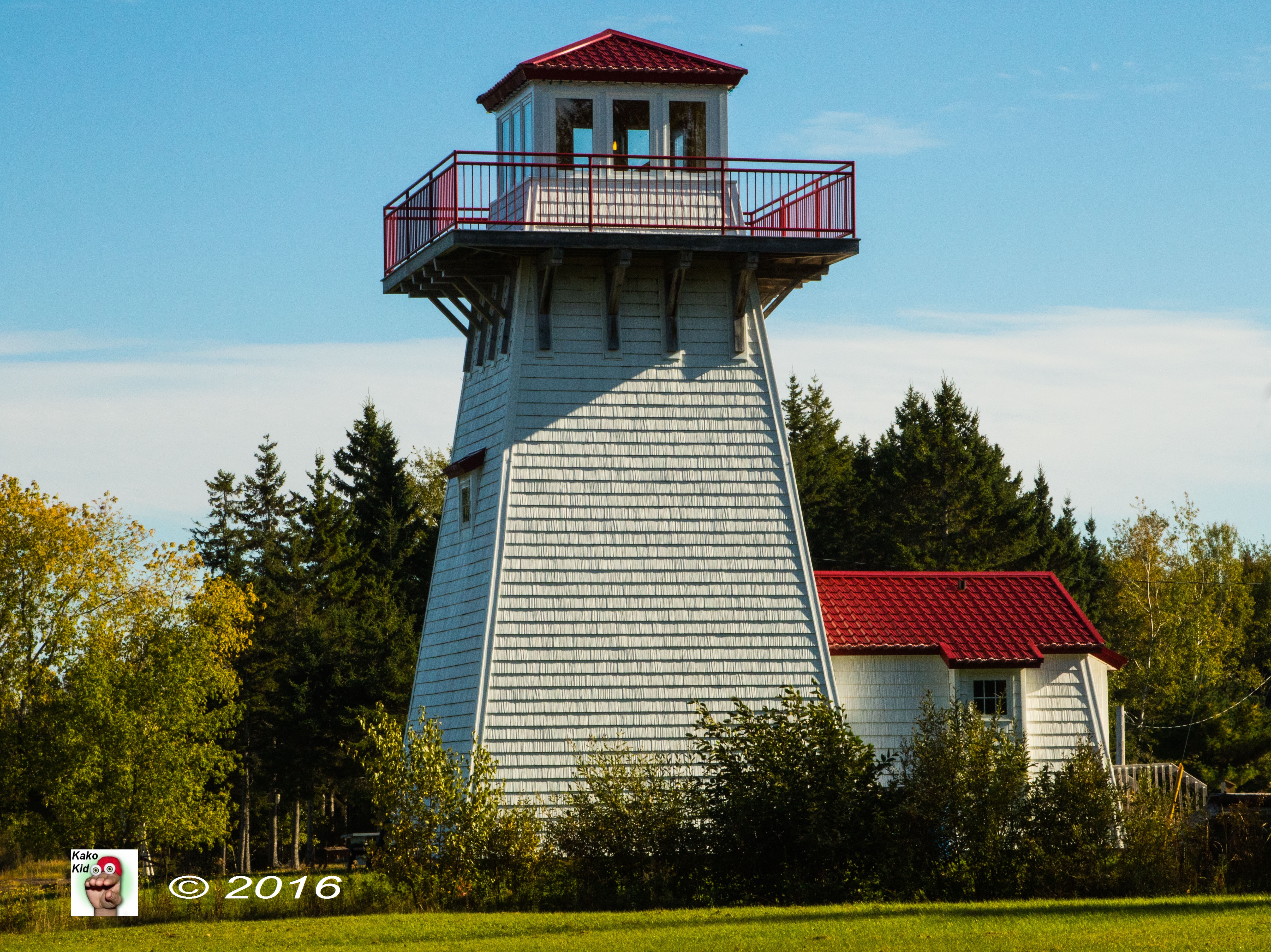
#9--Phare de Tabusintac Lighthouse
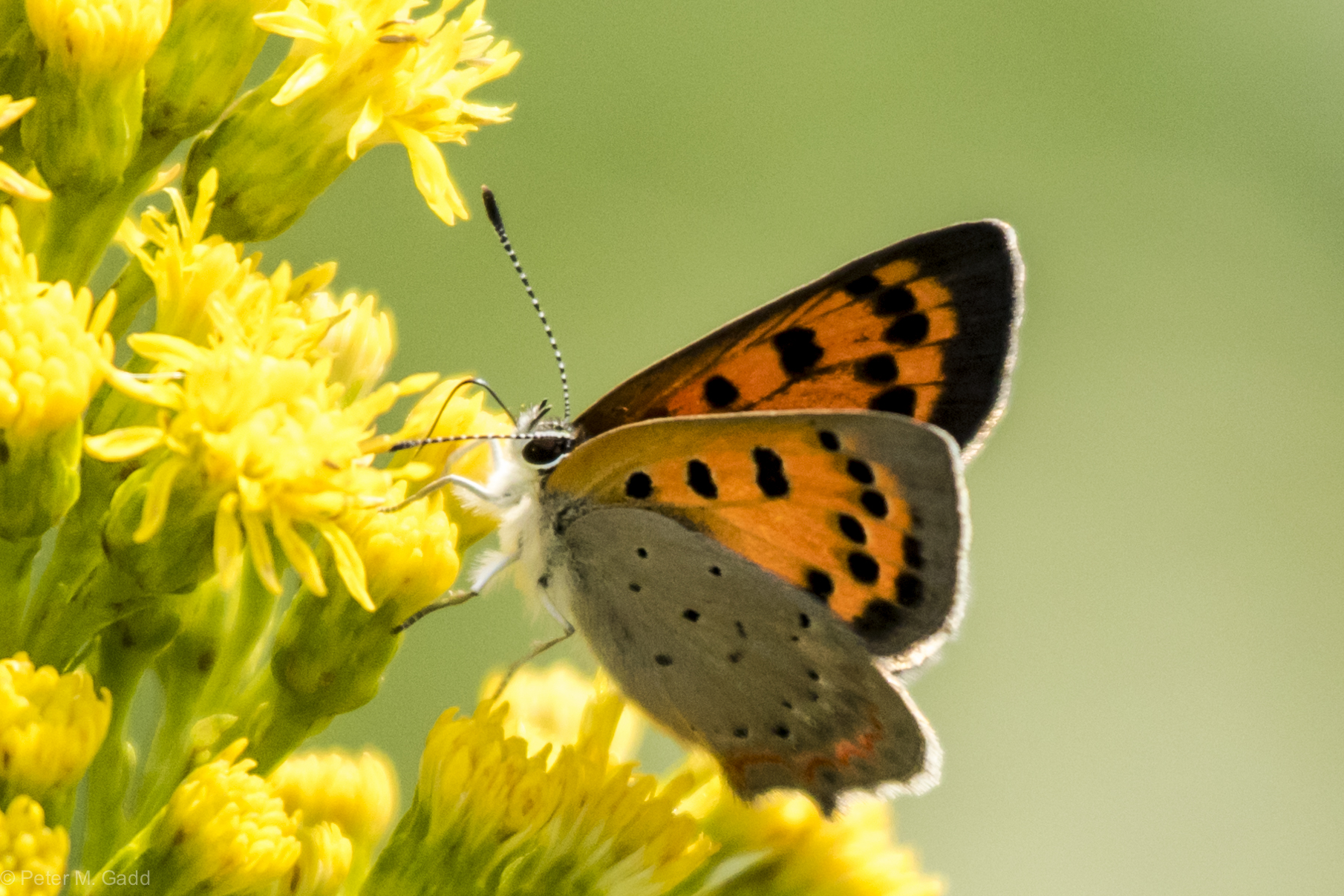
American Copper 20150819 Hay Island (13)
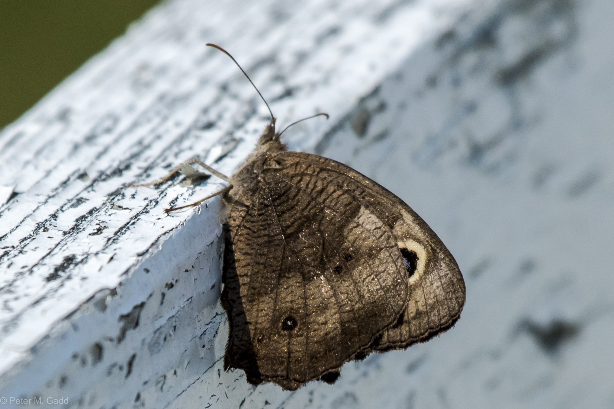
20150819 Common Wood Nymph, Hay Island
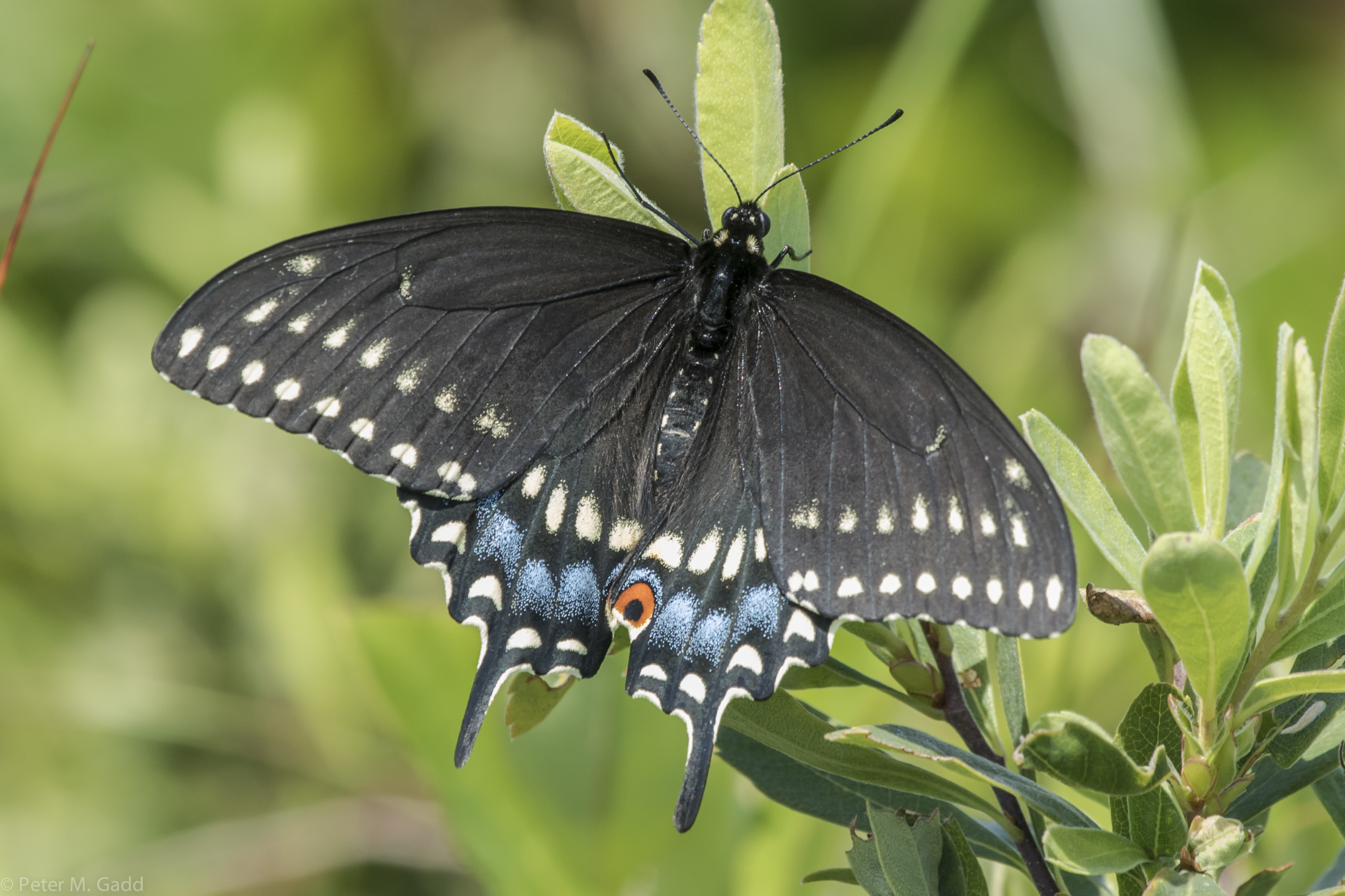
Black Swallowtail 20150729 Malpec Road, tabusintac Area (5)
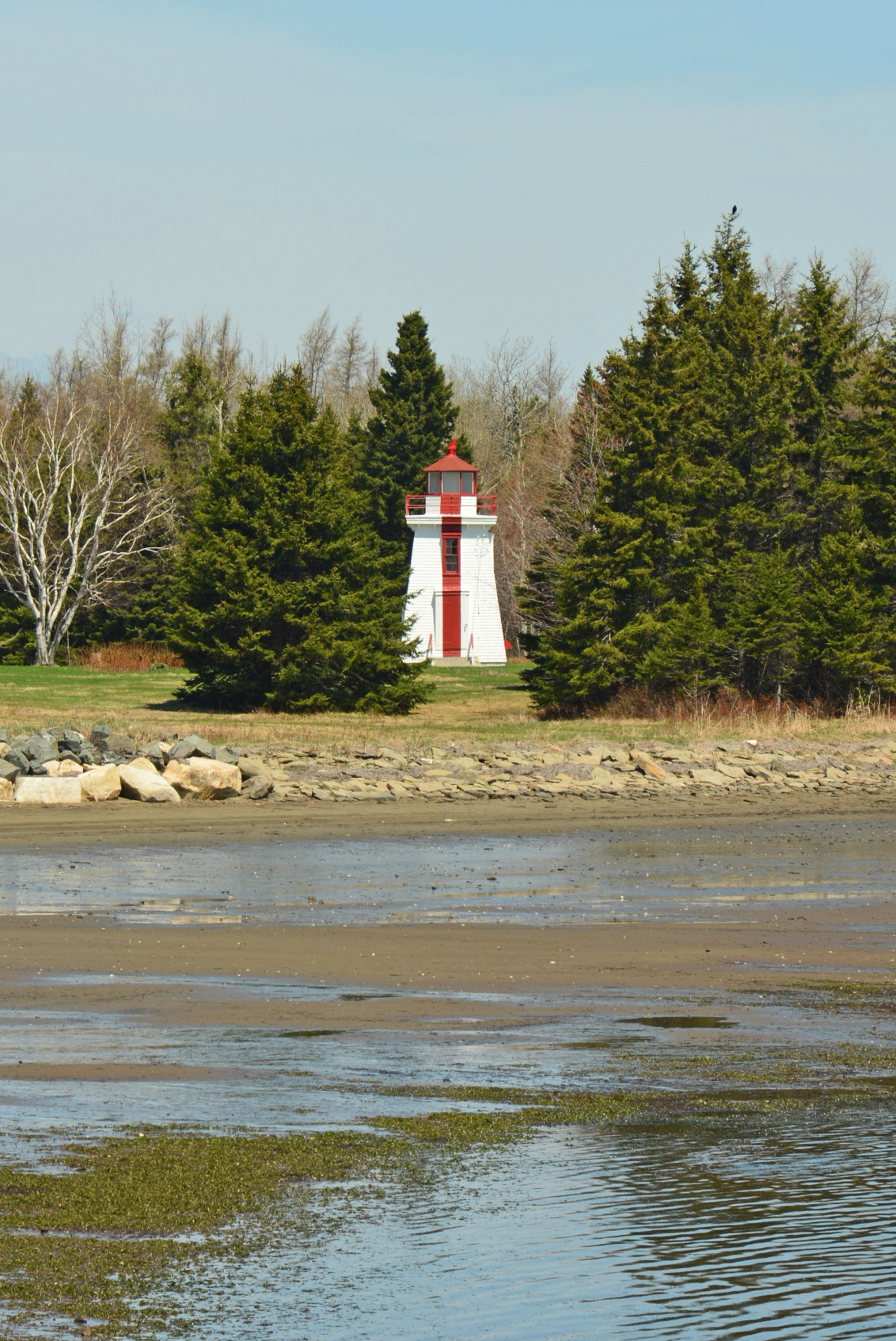
Lower Neguac Range (rear) Lighthouse, NB

Ile aux foins
Topographic Map of Covedell Rd, Tabusintac, NB E9H 1E7, Canada
Find elevation by address:

Places near Covedell Rd, Tabusintac, NB E9H 1E7, Canada:
271 Covedell Rd
280 Covedell Rd
222 Covedell Rd
4521 Nb-11
Tabusintac
Covedell
NB-11, Tabusintac, NB E9H 1H2, Canada
Rivière-du-portage
Neguac
11 Rue Gregoire, Néguac, NB E9G 4L1, Canada
NB-11, Pointe des Robichaud, NB E1X 3E2, Canada
Saumarez
Chemin Saulnier O, Saumarez, NB E1X 3J3, Canada
Bayview Dr, New Brunswick E9G 2A8, Canada
Saumarez
Saumarez
Saumarez
Tracadie-sheila
Rue Brideau, Tracadie-Sheila, NB E1X 1A5, Canada
NB-11, Village-Saint-Laurent, NB E9G 2J1, Canada
Recent Searches:
- Elevation of Corcoran Ln, Suffolk, VA, USA
- Elevation of Mamala II, Sariaya, Quezon, Philippines
- Elevation of Sarangdanda, Nepal
- Elevation of 7 Waterfall Way, Tomball, TX, USA
- Elevation of SW 57th Ave, Portland, OR, USA
- Elevation of Crocker Dr, Vacaville, CA, USA
- Elevation of Pu Ngaol Community Meeting Hall, HWHM+3X7, Krong Saen Monourom, Cambodia
- Elevation of Royal Ontario Museum, Queens Park, Toronto, ON M5S 2C6, Canada
- Elevation of Groblershoop, South Africa
- Elevation of Power Generation Enterprises | Industrial Diesel Generators, Oak Ave, Canyon Country, CA, USA