Elevation of N th Pl, Scottsdale, AZ, USA
Location: United States > Arizona > Maricopa County > Scottsdale > Desert Mountain, Phase Iii >
Longitude: -111.84622
Latitude: 33.866506
Elevation: 1010m / 3314feet
Barometric Pressure: 90KPa
Elevation Map:
Satellite Map:
Related Photos:
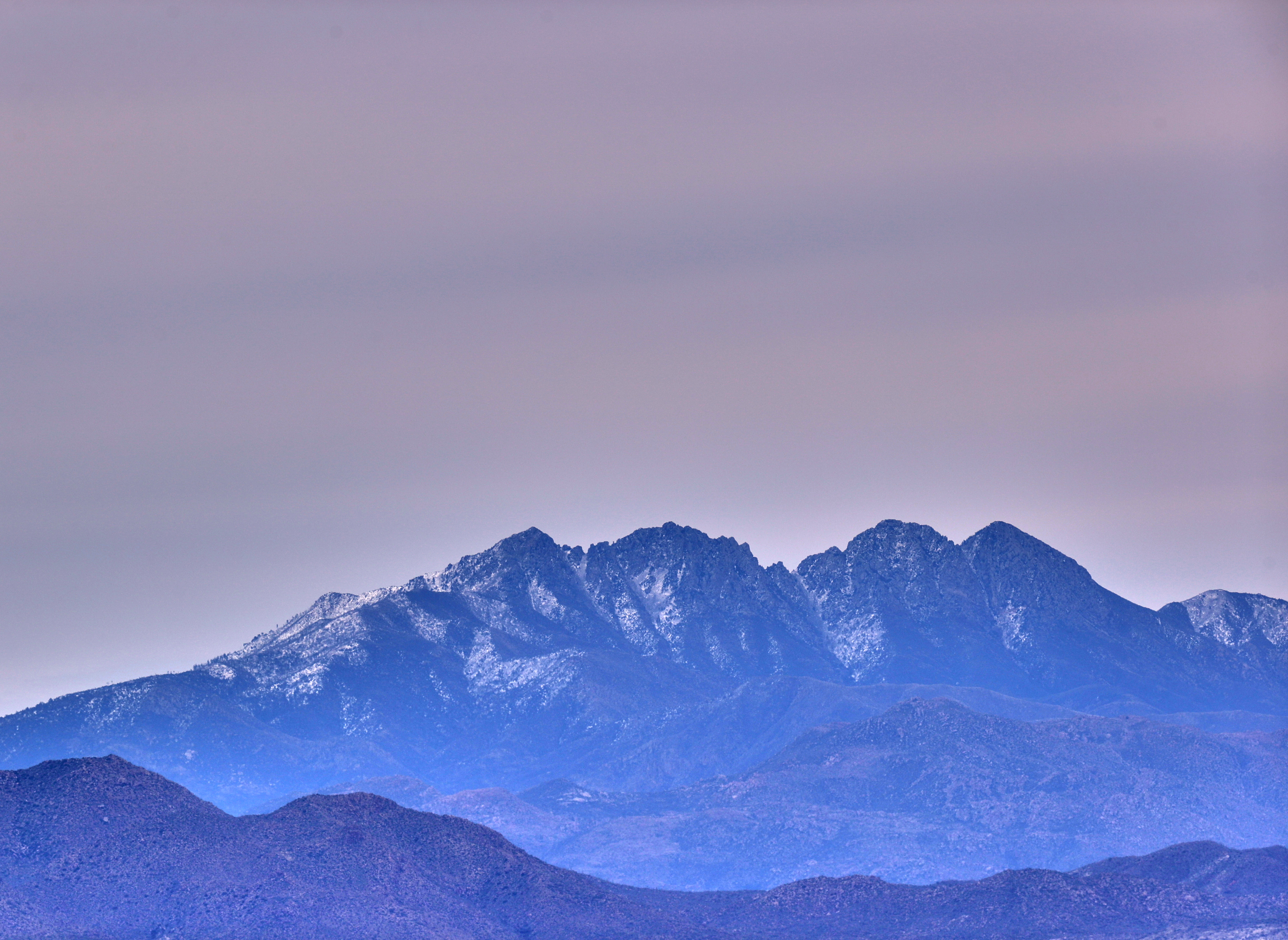
32. View along Bartlett Dam Road toward St. Clair Peak on a crisp New Year's Day
USA Surfaces and Textures

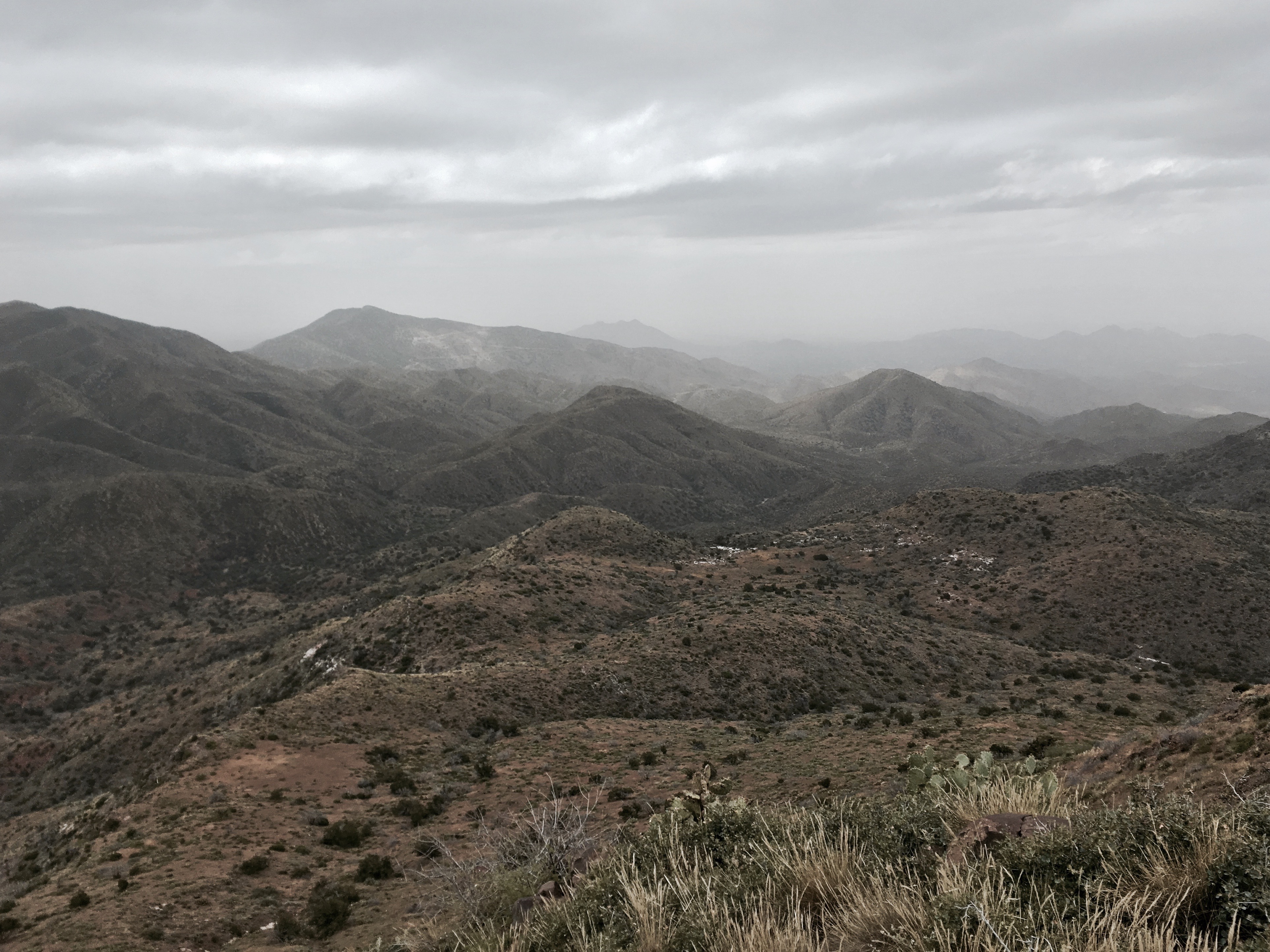
Winter in the Sonoran Desert

Sugarloaf Mountain and Skull Mesa from Black Mesa Trail - Spur Cross
Elephant Mountain view to east south east
Cave Creek Recreation Area Nature Center

Sears-Kay Ruins - Tonto National Forest
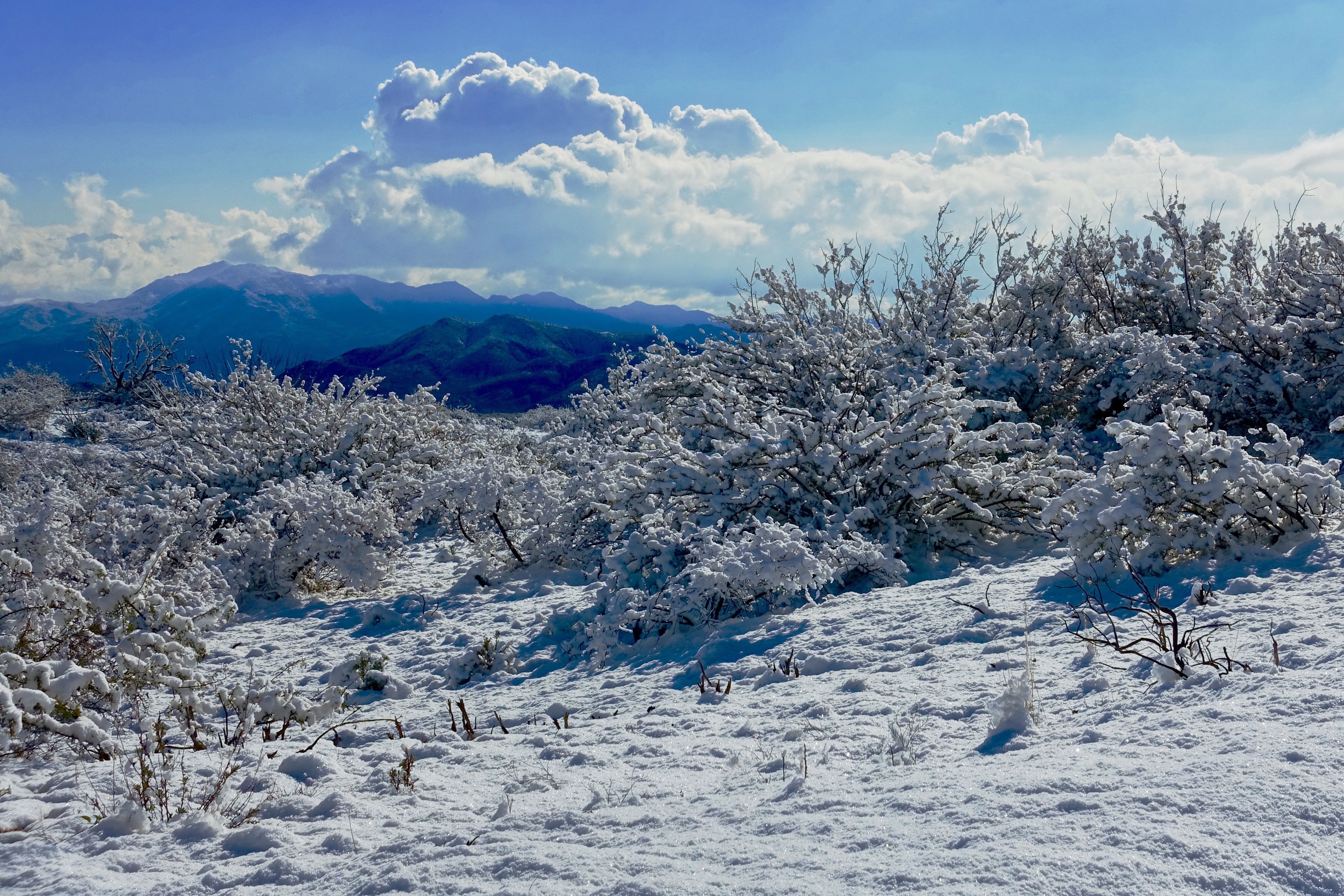
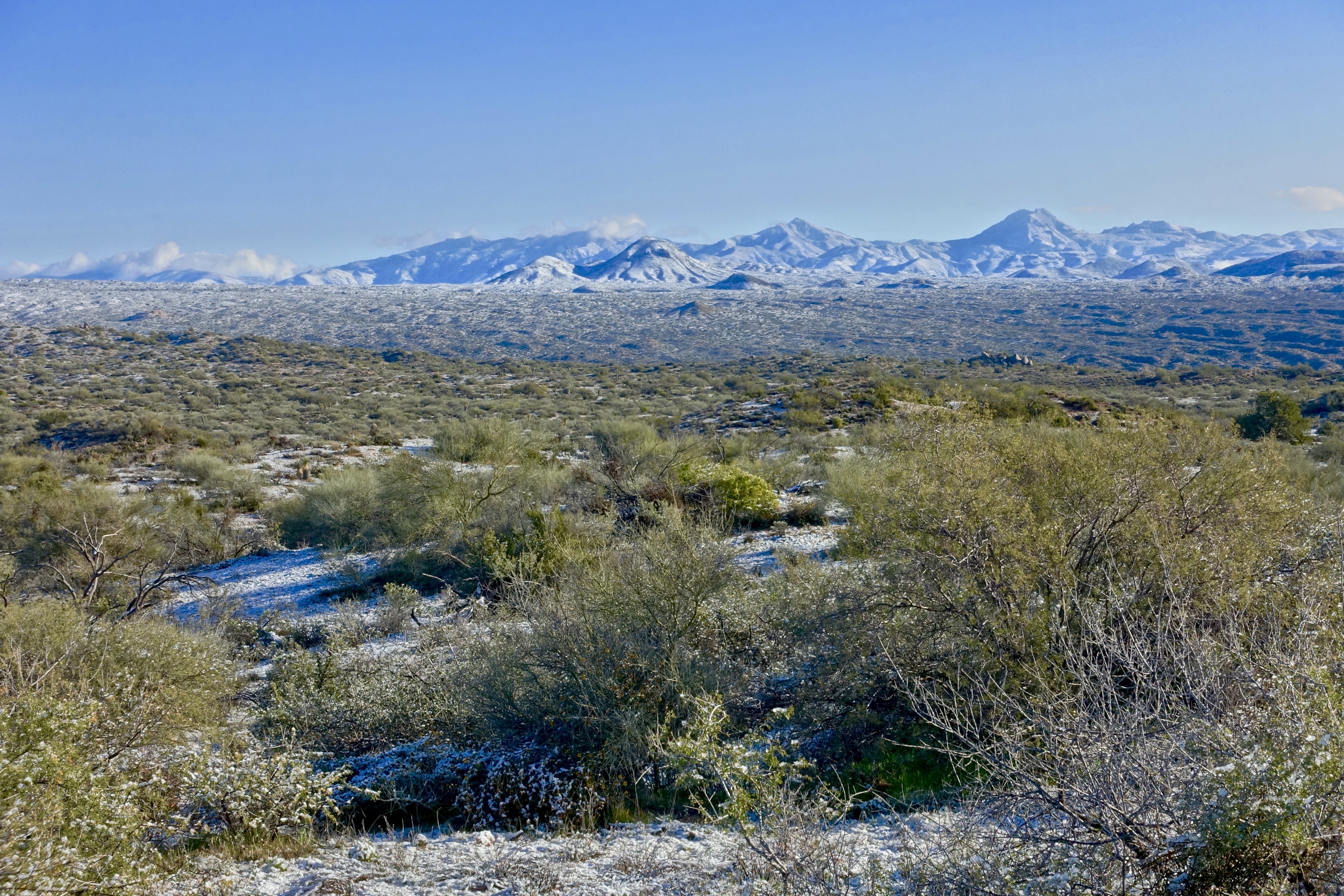
46. View along Horseshoe Dam Road of an unusually snowy landscape
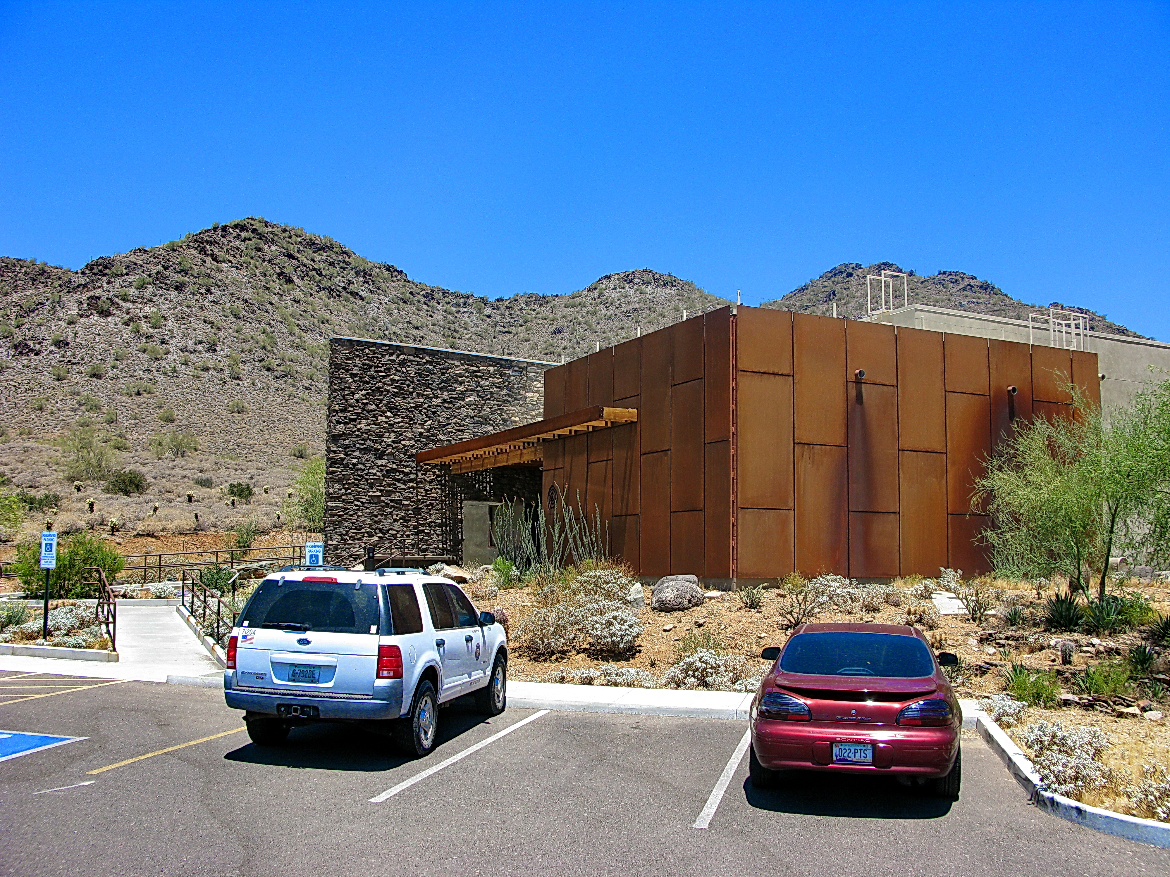
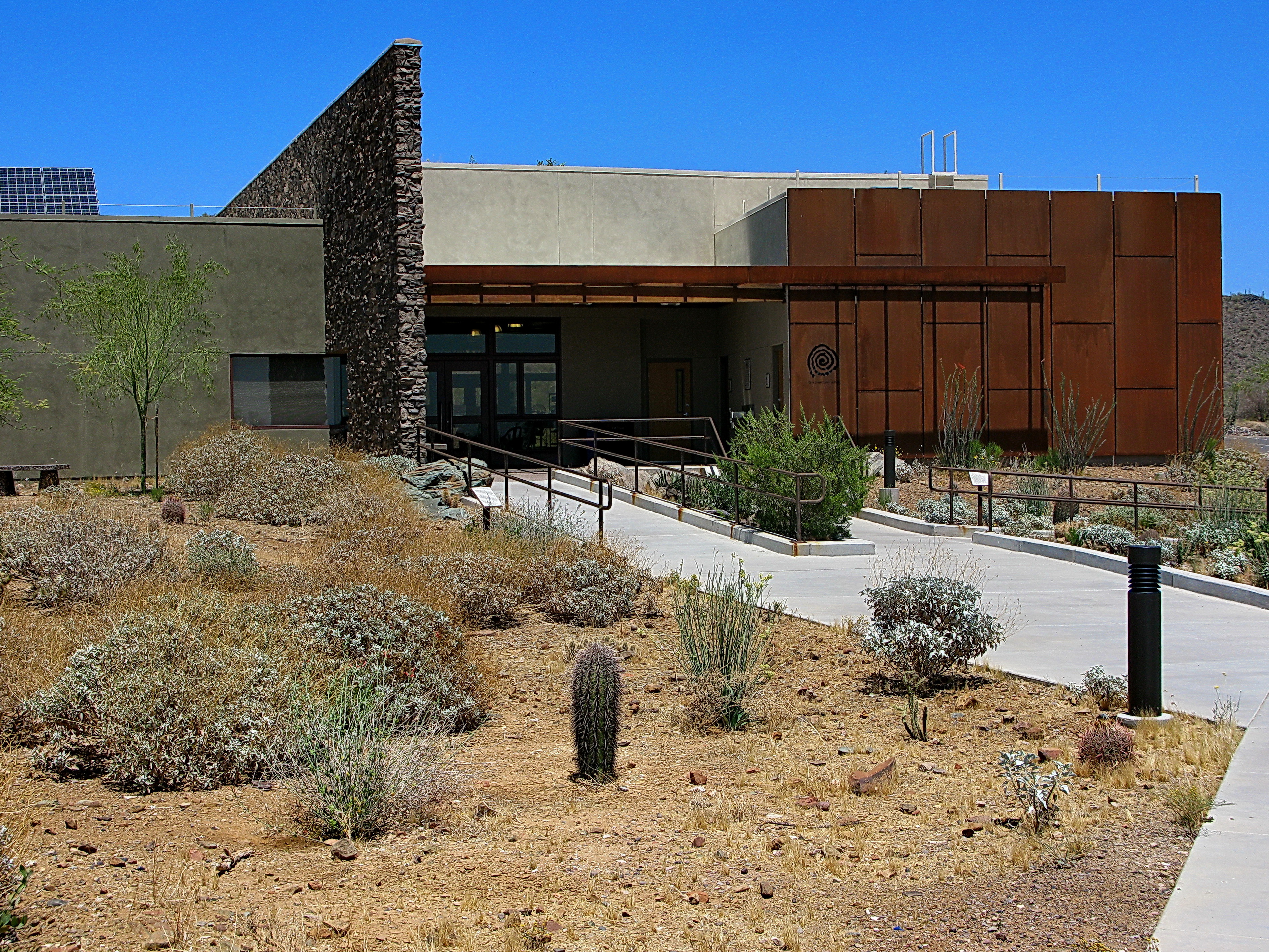
Cave Creek Recreation Area Visitor Center - LEED Certified
Desert Horizons
Sears-Kay Ruins

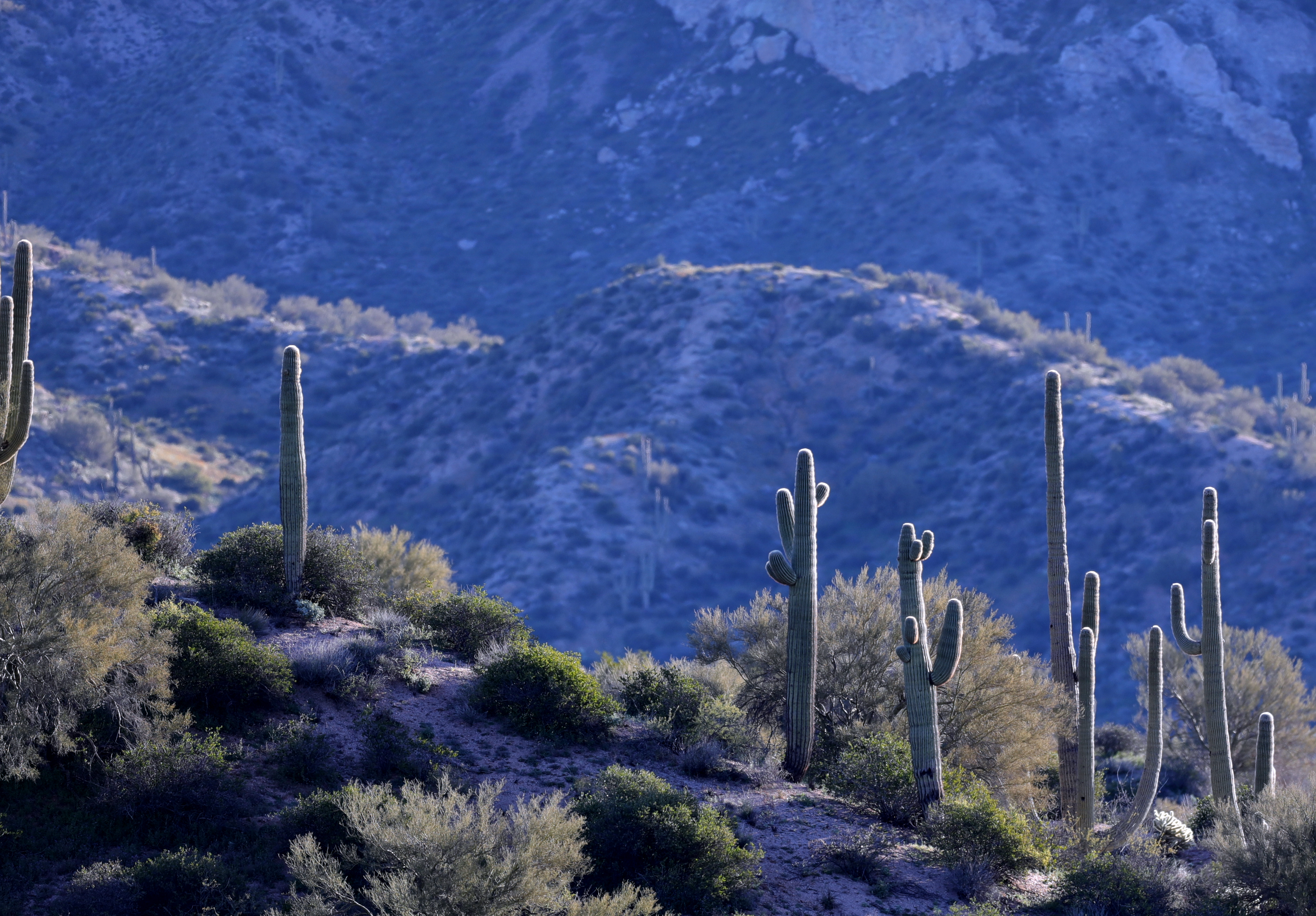
377. Portrait view of Sugarloaf Mountain with saguaros in the foreground
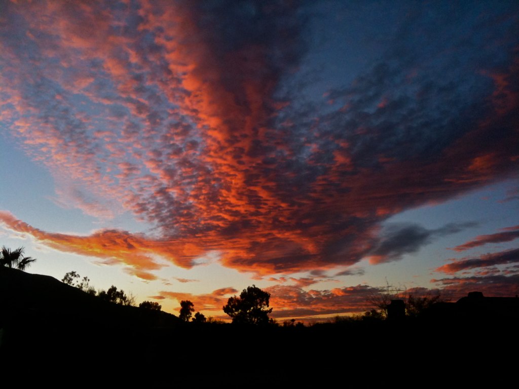
108. Sunset as viewed looking down Happy Hollow Drive
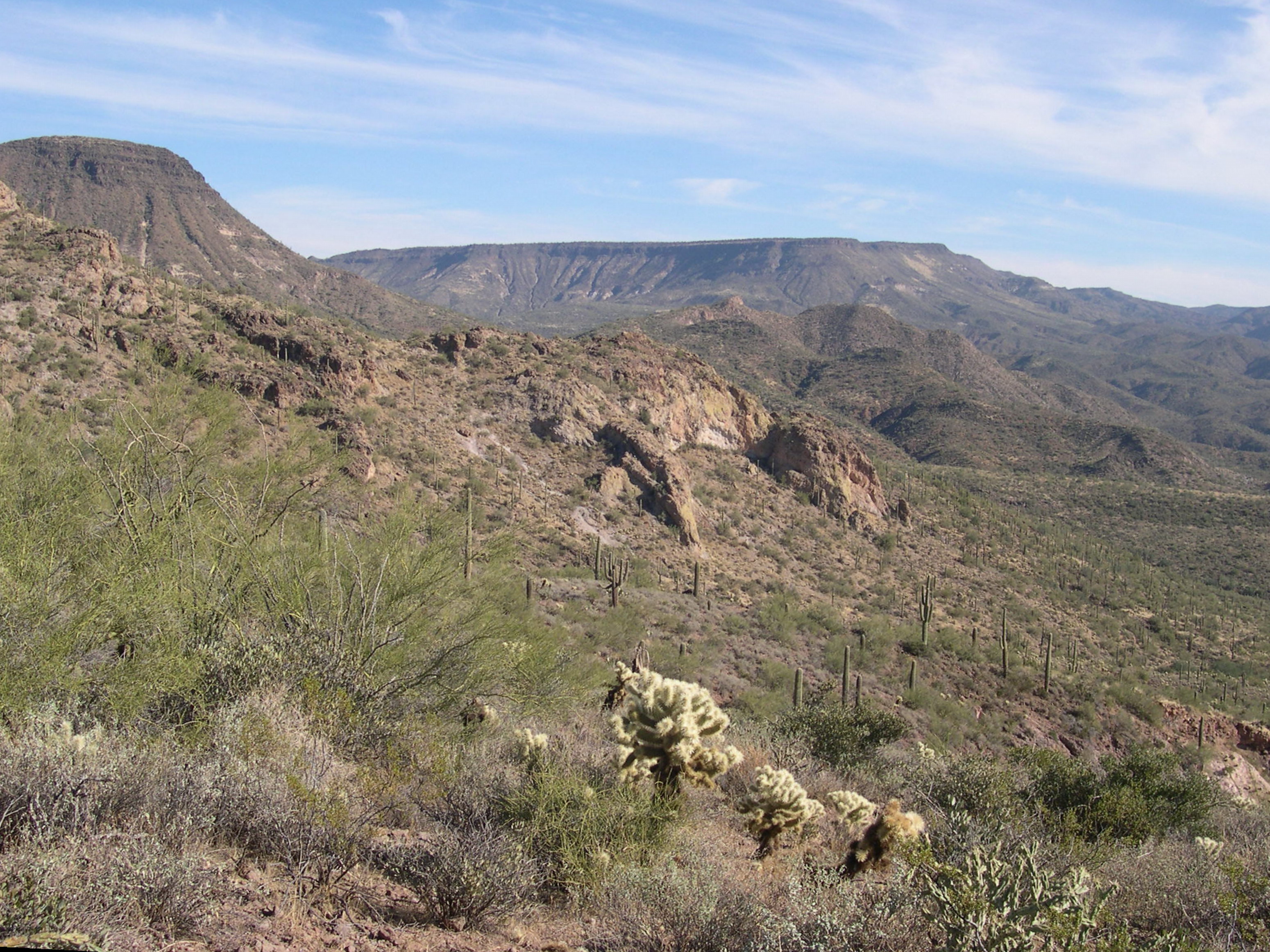
Elephant Mountain in the Spur Cross Ranch looking NE at Skull Mesa in the Tonto National Forest

Yuccas on the Mesa
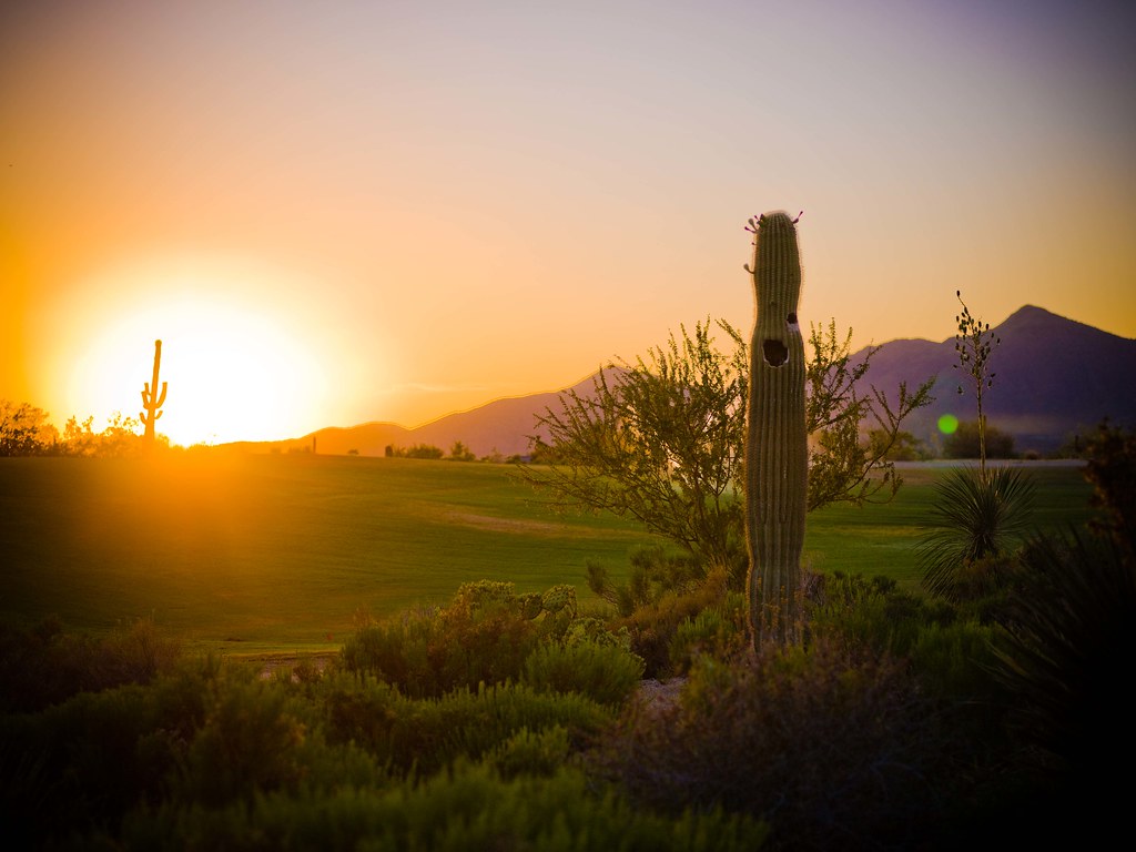
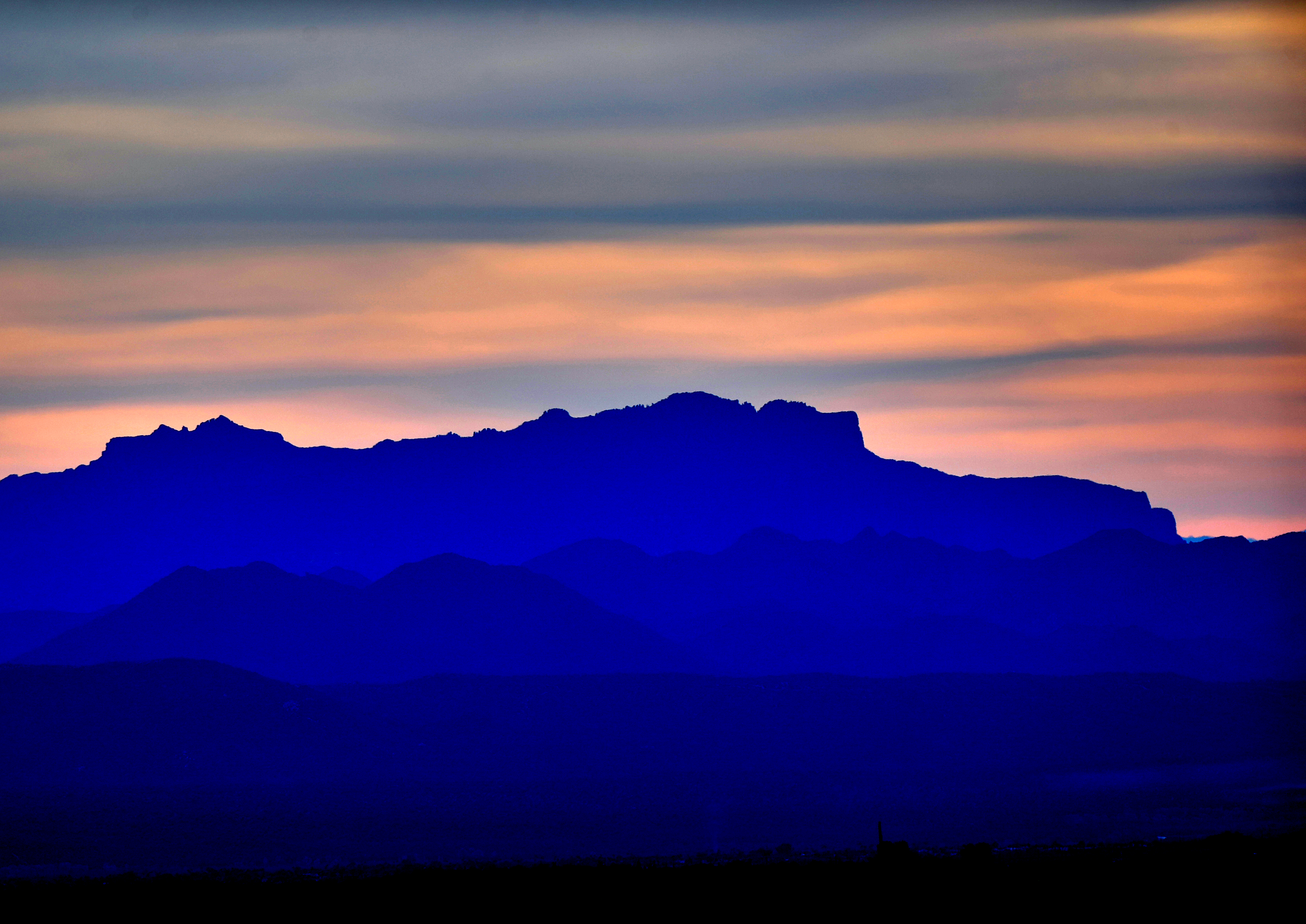
Desert Sunset

Sears-Kay Ruins Interpretive Sign - hawks eye view
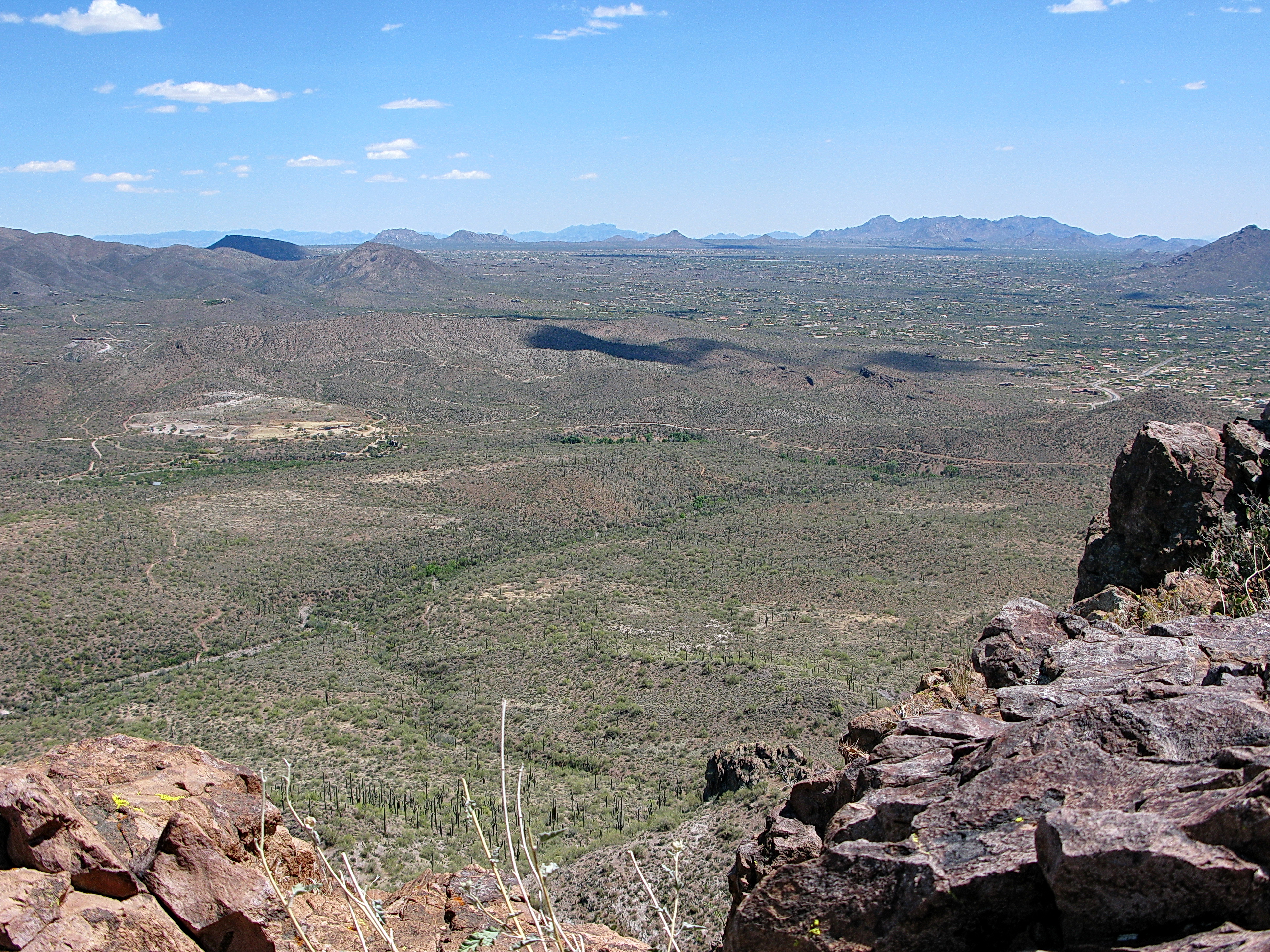
371. View from atop Quien Sabe summit centered on Black Mountain in the distance

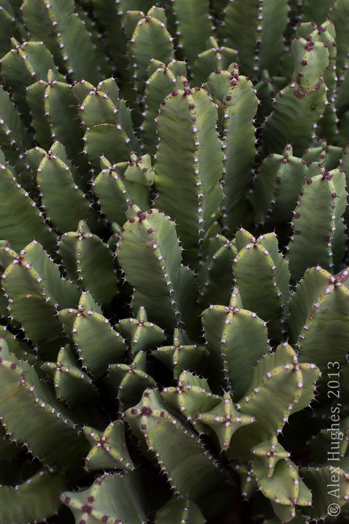
Pink Snow Cactus

All I Asked Was, "Which Way?"
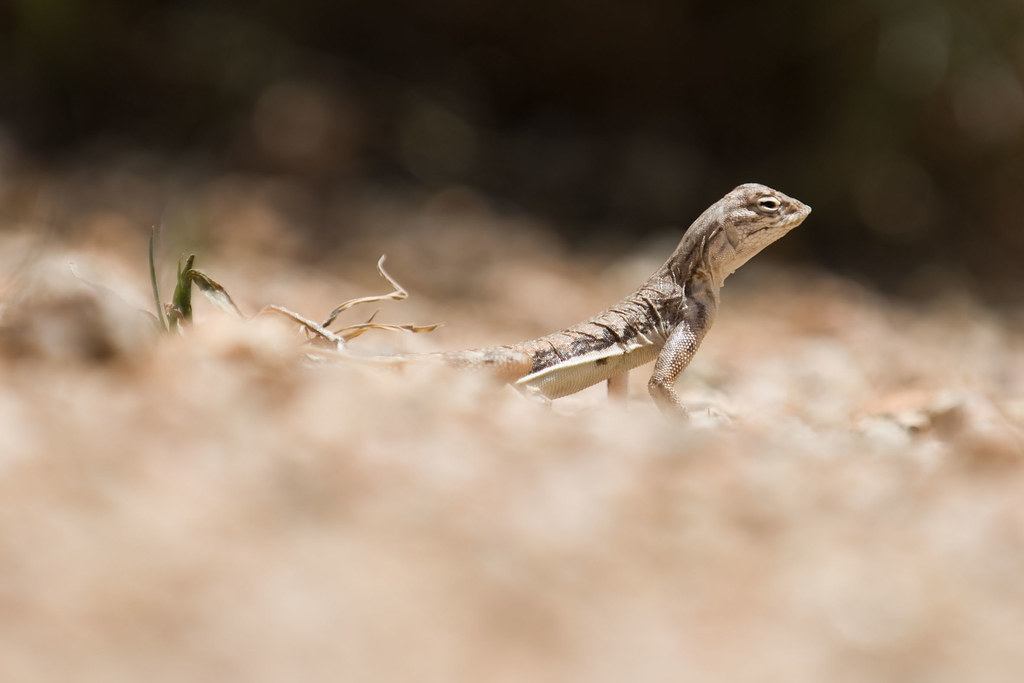
Zebra-tailed Lizard

02-13-19-0047547
02-13-19-0047442 3

02-13-19-0047555

02-13-19-0047549

02-13-19-0047449
02-13-19-0047553

02-13-19-0047446 1
02-13-19-0047447

02-13-19-0047453 1
02-13-19-0047451
02-13-19-0047462
02-11-19-0047295
02-11-19-0047293
Pinnacle Peak from Greasewood Flats
02-13-19-0047552
02-13-19-0047548

02-11-19-0047292
02-13-19-0047443
02-11-19-0047289
02-13-19-0047461 1

02-11-19-0047349
Topographic Map of N th Pl, Scottsdale, AZ, USA
Find elevation by address:

Places near N th Pl, Scottsdale, AZ, USA:
10710 E Honey Mesquite Dr
10992 E Oatman Dr
41552 N 107th Way
41212 N 111th St
40916 N 107th Pl
42725 North 102nd Street
10665 E Prospect Point Dr
10811 E Prospect Point Dr #79
40648 N 107th St
41917 N 101st Pl
Desert Mountain, Phase Iii
10725 E Palo Brea Dr #178
Desert Mountain, Phase Ii
10216 E Venado Trail
10947 E Graythorn Dr
42644 N 98th Pl
10687 E Fernwood Ln
39077 N 110th St #1
39077 N 110th St #1
42882 N Chiricahua Pass
Recent Searches:
- Elevation of Côte-des-Neiges, Montreal, QC H4A 3J6, Canada
- Elevation of Bobcat Dr, Helena, MT, USA
- Elevation of Zu den Ihlowbergen, Althüttendorf, Germany
- Elevation of Badaber, Peshawar, Khyber Pakhtunkhwa, Pakistan
- Elevation of SE Heron Loop, Lincoln City, OR, USA
- Elevation of Slanický ostrov, 01 Námestovo, Slovakia
- Elevation of Spaceport America, Co Rd A, Truth or Consequences, NM, USA
- Elevation of Warwick, RI, USA
- Elevation of Fern Rd, Whitmore, CA, USA
- Elevation of 62 Abbey St, Marshfield, MA, USA