Elevation of N th St, Scottsdale, AZ, USA
Location: United States > Arizona > Maricopa County > Scottsdale > Desert Mountain, Phase Ii >
Longitude: -111.85001
Latitude: 33.8540047
Elevation: 954m / 3130feet
Barometric Pressure: 90KPa
Elevation Map:
Satellite Map:
Related Photos:

Cool Retro Diner Arrow Sign: Big Earl's Greasy Eats, Cave Creek, Close-up, West View
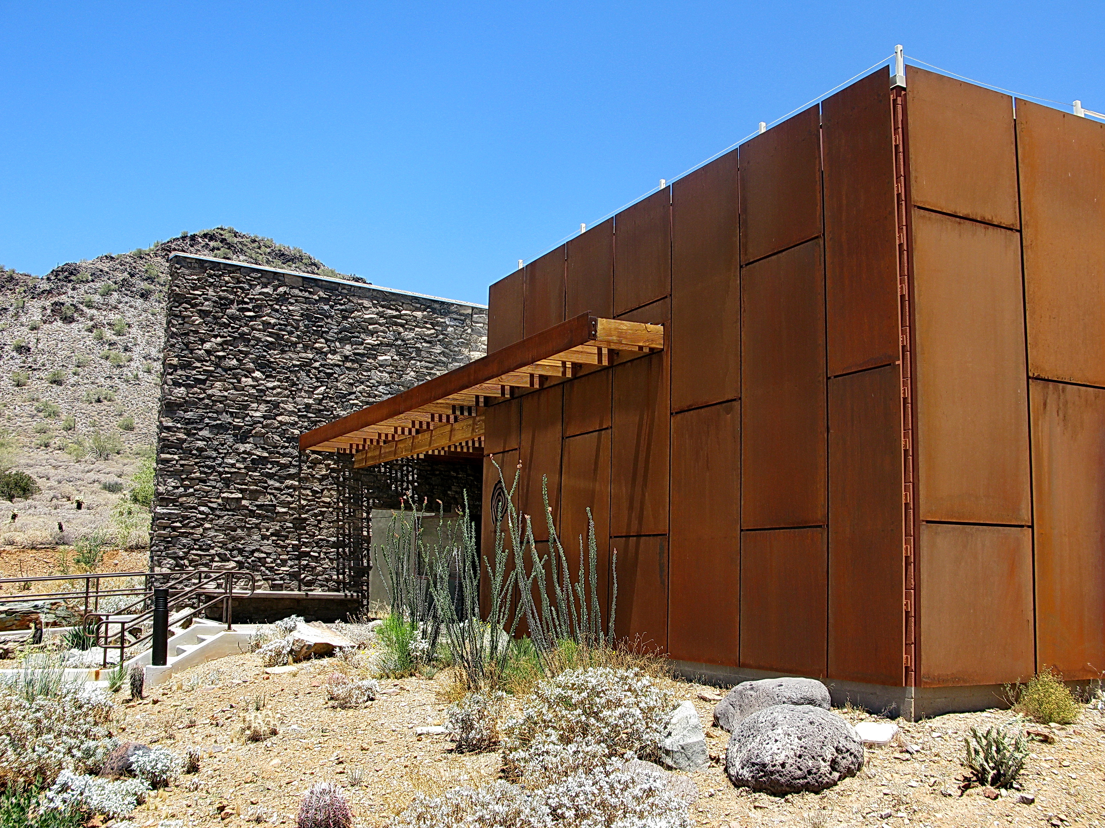
Cave Creek Recreation Area Nature Center
Cave Creek Recreation Area Nature Center

Harmony Hollow Ranch - whimsical fence - Cave Creek
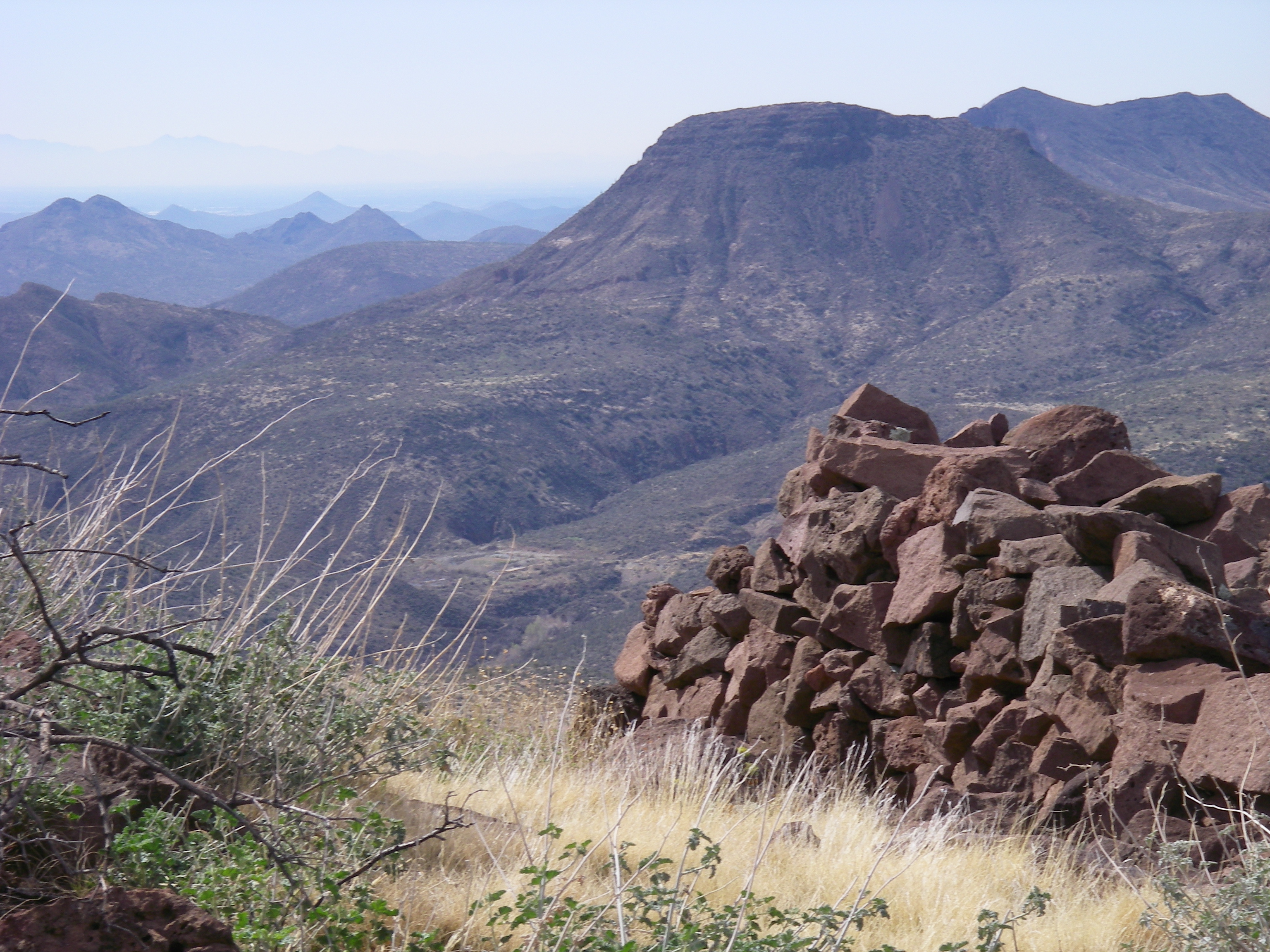
View from the Skull Mesa Fort

Sugarloaf Mountain and Skull Mesa from Black Mesa Trail - Spur Cross
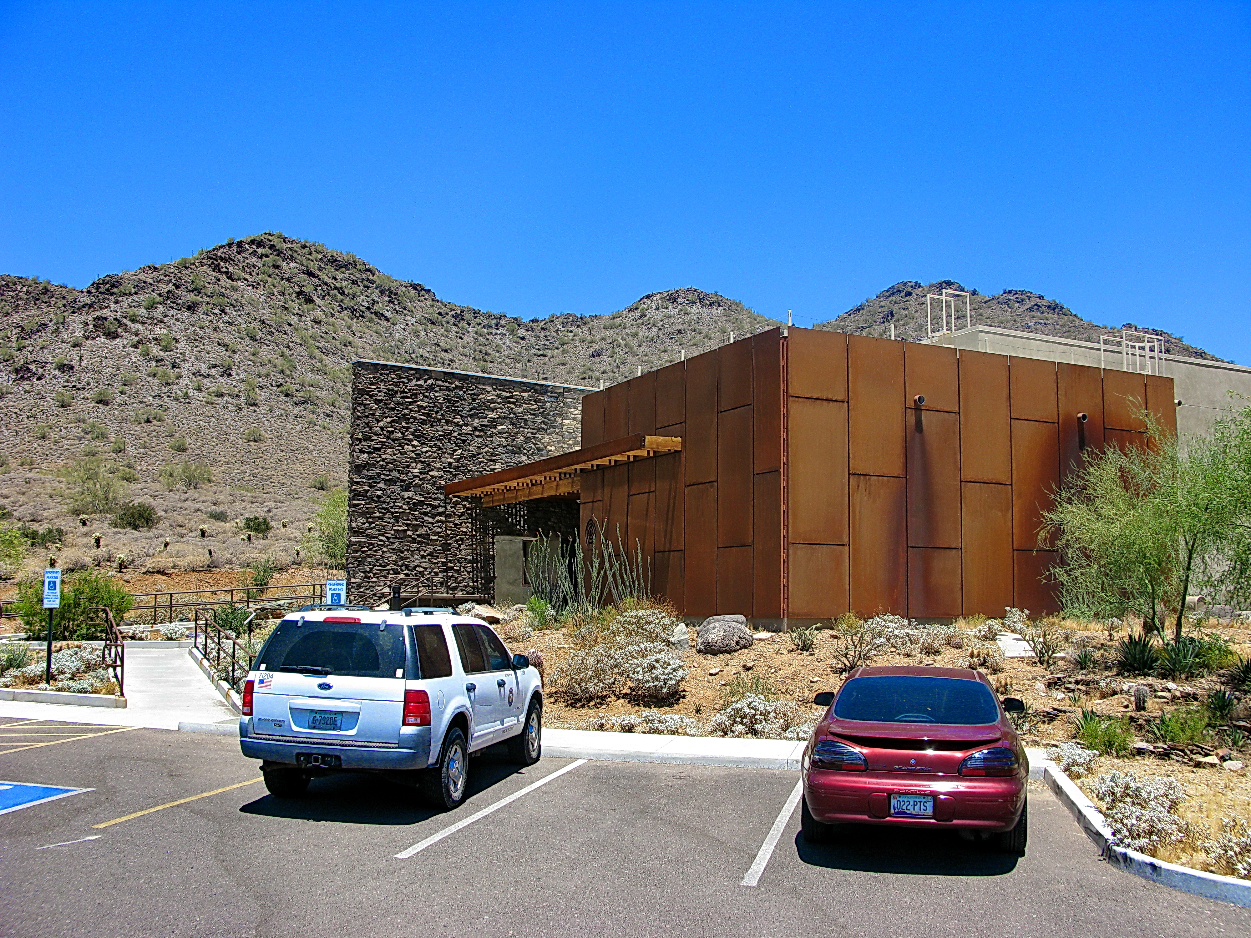
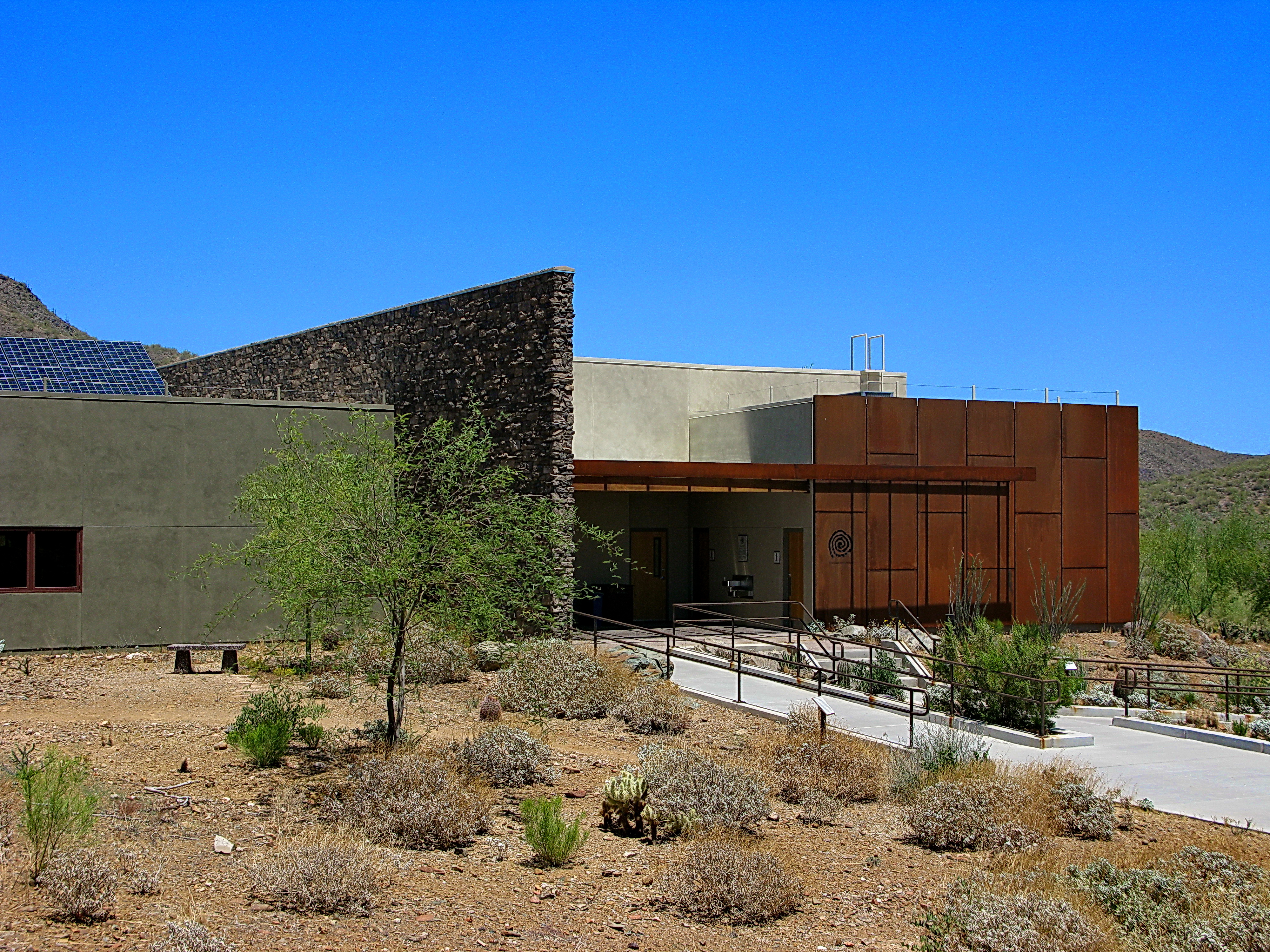
Cave Creek Recreation Area Visitor Center - LEED Certified

Sears-Kay Ruins Interpretive Sign - hawks eye view

Elephant Mountain in the Spur Cross Ranch looking NE at Skull Mesa in the Tonto National Forest
371. View from atop Quien Sabe summit centered on Black Mountain in the distance

Pink Snow Cactus
Another beautiful view from #pinnaclepeak hike this morning
Cactus Sunset
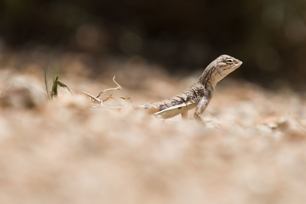
Zebra-tailed Lizard

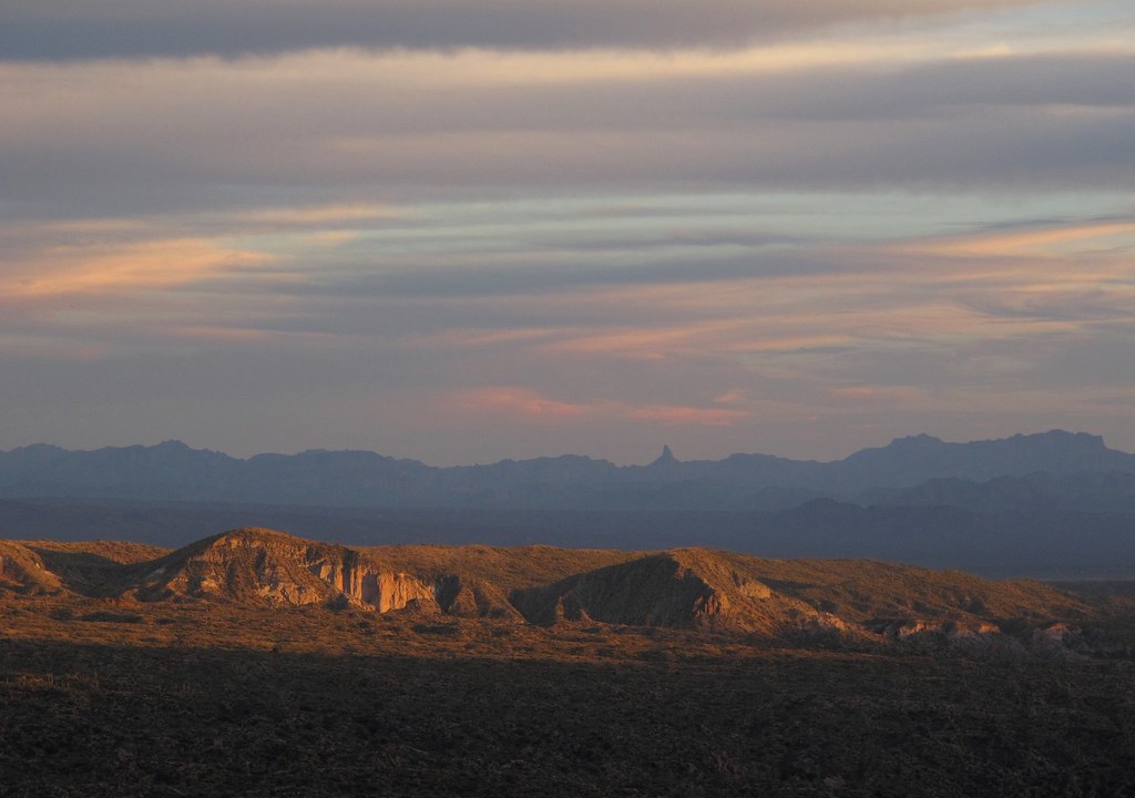
The evening view from Black Mountain.
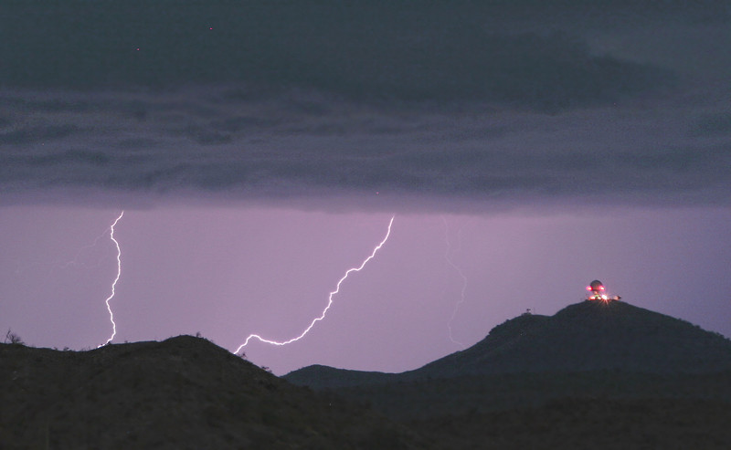
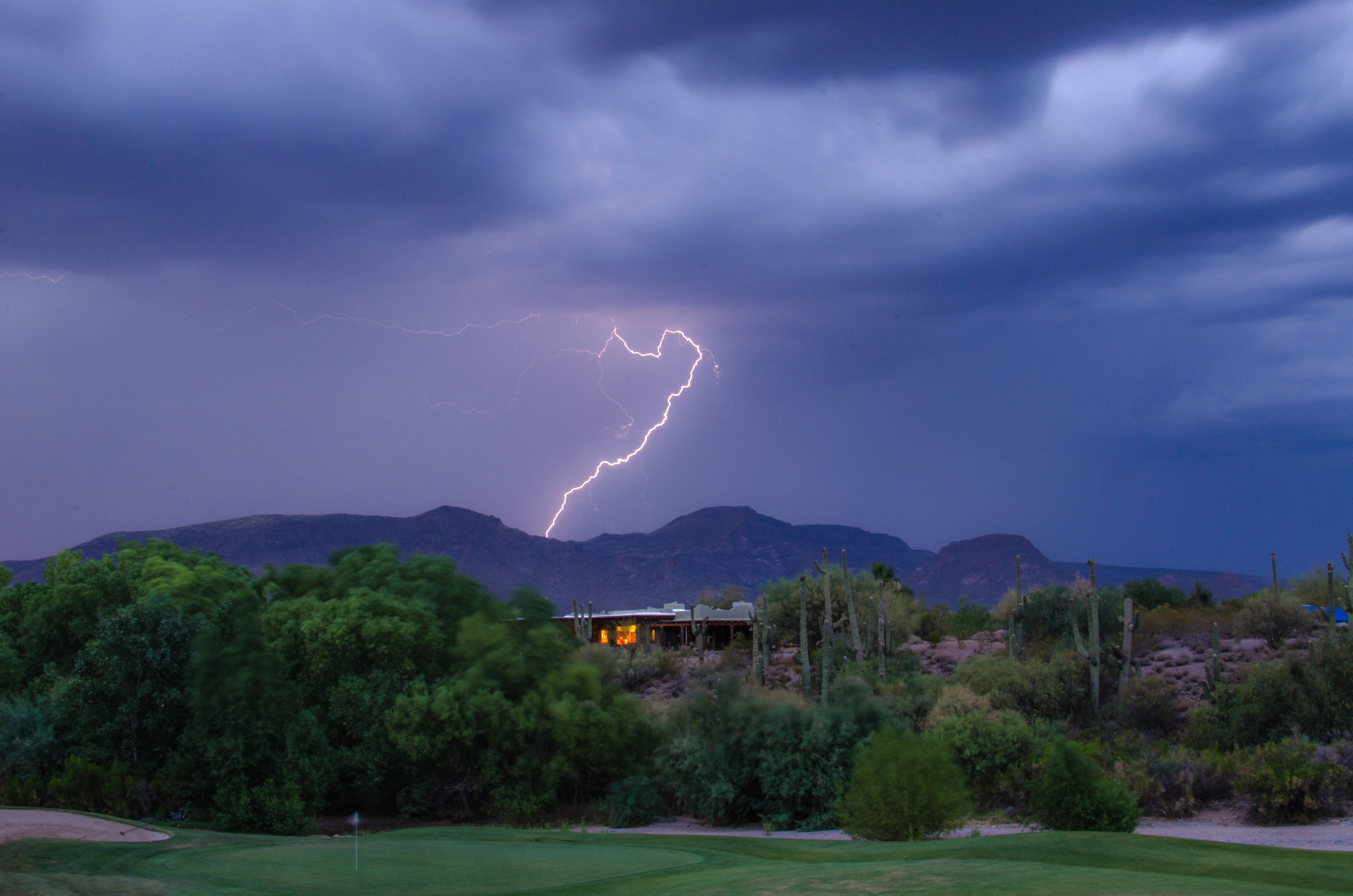
Seven Springs Lightning Strikes

Land of the Giants

"Saguaro You Here?"--pun by Paul Ewing and Tim Lefler

View from Onyx at The Four Seasons Scottsdsle
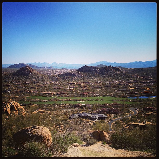
View from #pinnaclepeak highest point #scottsdale
Desert Horizons
Welcome to Arizona. Here's a (tone)Map of the Area!
Lightning from Cave Creek

Estancia - #6
Pinnacle Peak from Greasewood Flats

Sunset 4.7.13
Geronimo Golf

Golf Ball on Renegade

What a fabulous day in Scottsdale #hike #arizona #hike #scottsdale #pinnaclepeak

Pinnacle Peak
Tree on Geronimo

372. Panorama of distant mountaintop landmarks as seen from summit of Quien Sabe
Clouds Over Pinnacle Peak
farewell cave creek

474. Looking back at my return hike along FR 468 from hilltop west of old stone ruin
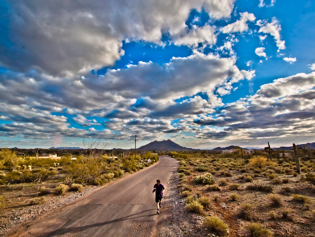
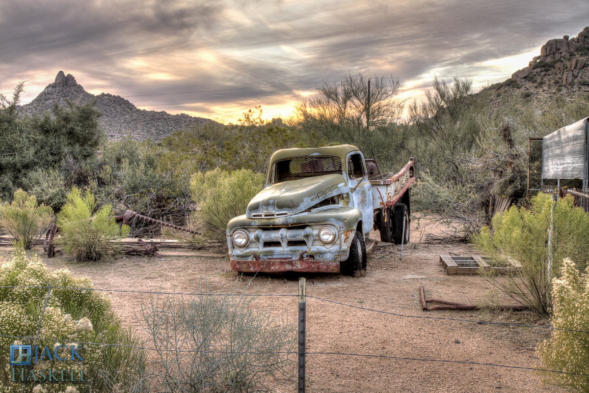
Arizona country scene

Sunrise from Lone Mountain
Sky on fire.
Topographic Map of N th St, Scottsdale, AZ, USA
Find elevation by address:

Places near N th St, Scottsdale, AZ, USA:
10665 E Prospect Point Dr
40916 N 107th Pl
10811 E Prospect Point Dr #79
10725 E Palo Brea Dr #178
41552 N 107th Way
Desert Mountain, Phase Ii
10992 E Oatman Dr
10710 E Honey Mesquite Dr
41212 N 111th St
10947 E Graythorn Dr
10216 E Venado Trail
42088 N 108th Pl
10687 E Fernwood Ln
39077 N 110th St #1
39077 N 110th St #1
41917 N 101st Pl
10044 E Graythorn Dr
42725 North 102nd Street
42644 N 98th Way
9898 E Filaree Ln
Recent Searches:
- Elevation of Felindre, Swansea SA5 7LU, UK
- Elevation of Leyte Industrial Development Estate, Isabel, Leyte, Philippines
- Elevation of W Granada St, Tampa, FL, USA
- Elevation of Pykes Down, Ivybridge PL21 0BY, UK
- Elevation of Jalan Senandin, Lutong, Miri, Sarawak, Malaysia
- Elevation of Bilohirs'k
- Elevation of 30 Oak Lawn Dr, Barkhamsted, CT, USA
- Elevation of Luther Road, Luther Rd, Auburn, CA, USA
- Elevation of Unnamed Road, Respublika Severnaya Osetiya — Alaniya, Russia
- Elevation of Verkhny Fiagdon, North Ossetia–Alania Republic, Russia