Elevation of E Graythorn Dr, Scottsdale, AZ, USA

Location: United States > Arizona > Maricopa County > Scottsdale > Desert Mountain, Phase Ii >

Longitude: -111.84507

Latitude: 33.8428832

Elevation: 948m / 3110feet

Barometric Pressure: 90KPa

Elevation Map:

elevation map of E Graythorn Dr, Scottsdale, AZ, USA

Satellite Map:

Satellite map of E Graythorn Dr, Scottsdale, AZ, USA

Related Photos:

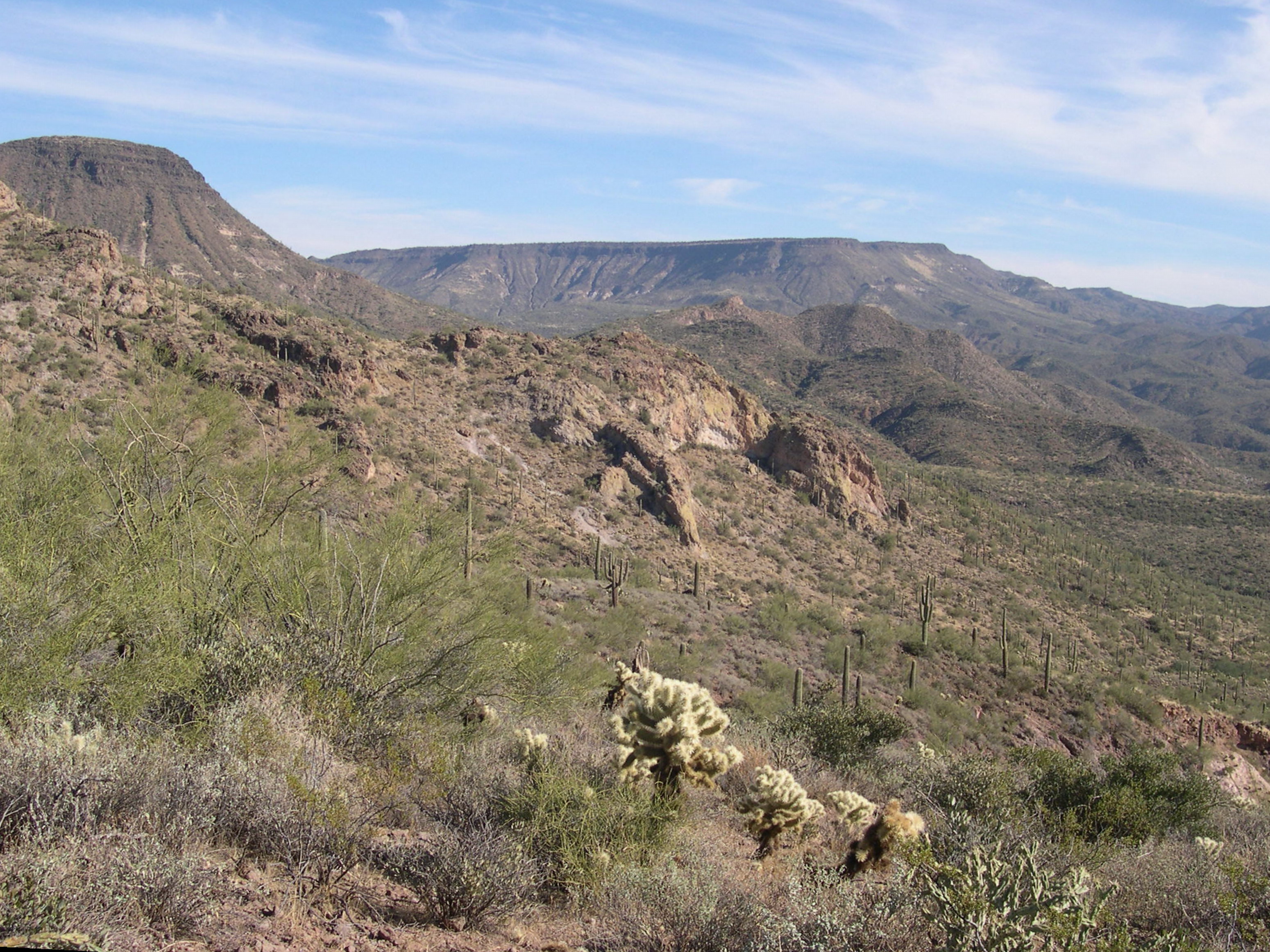
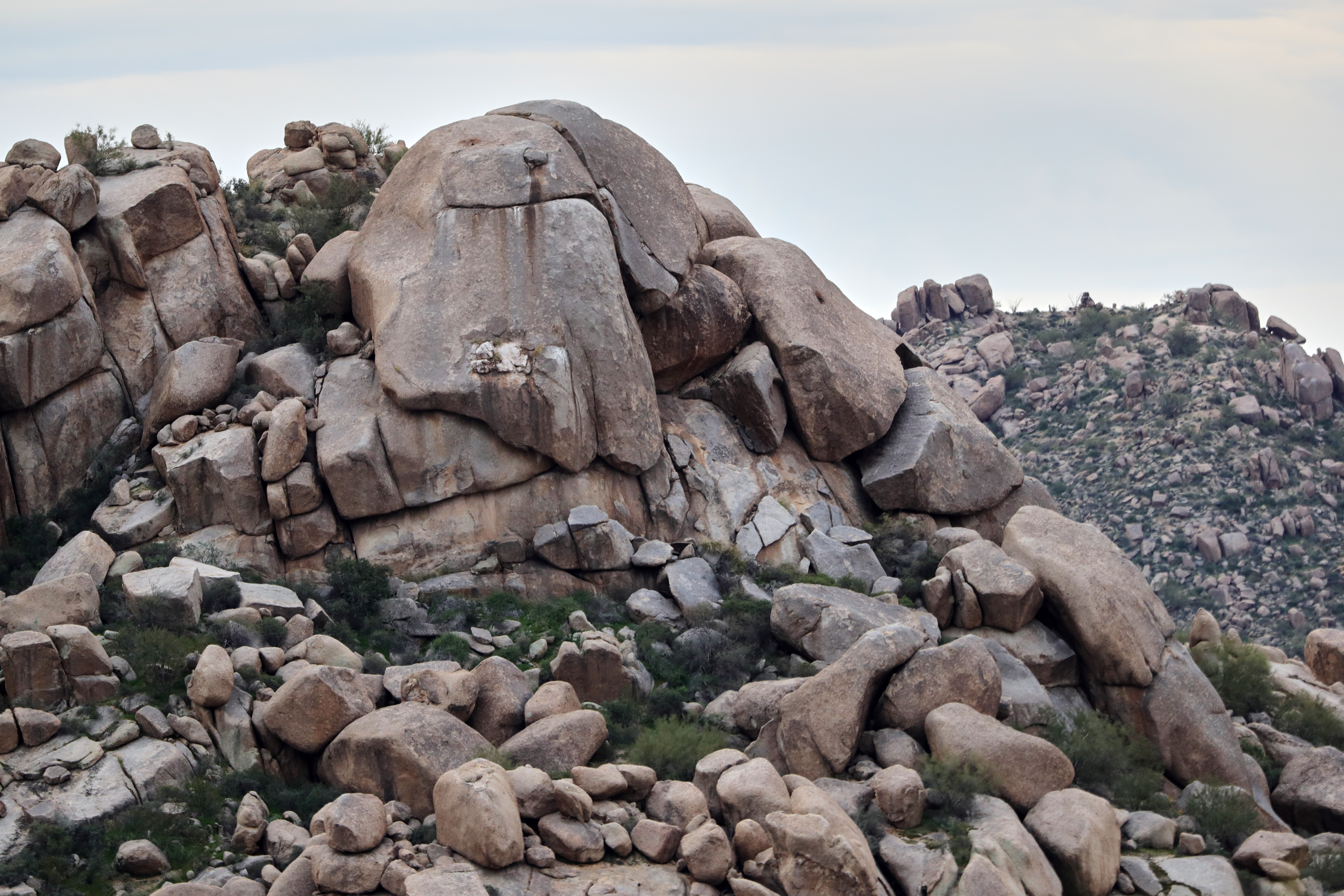
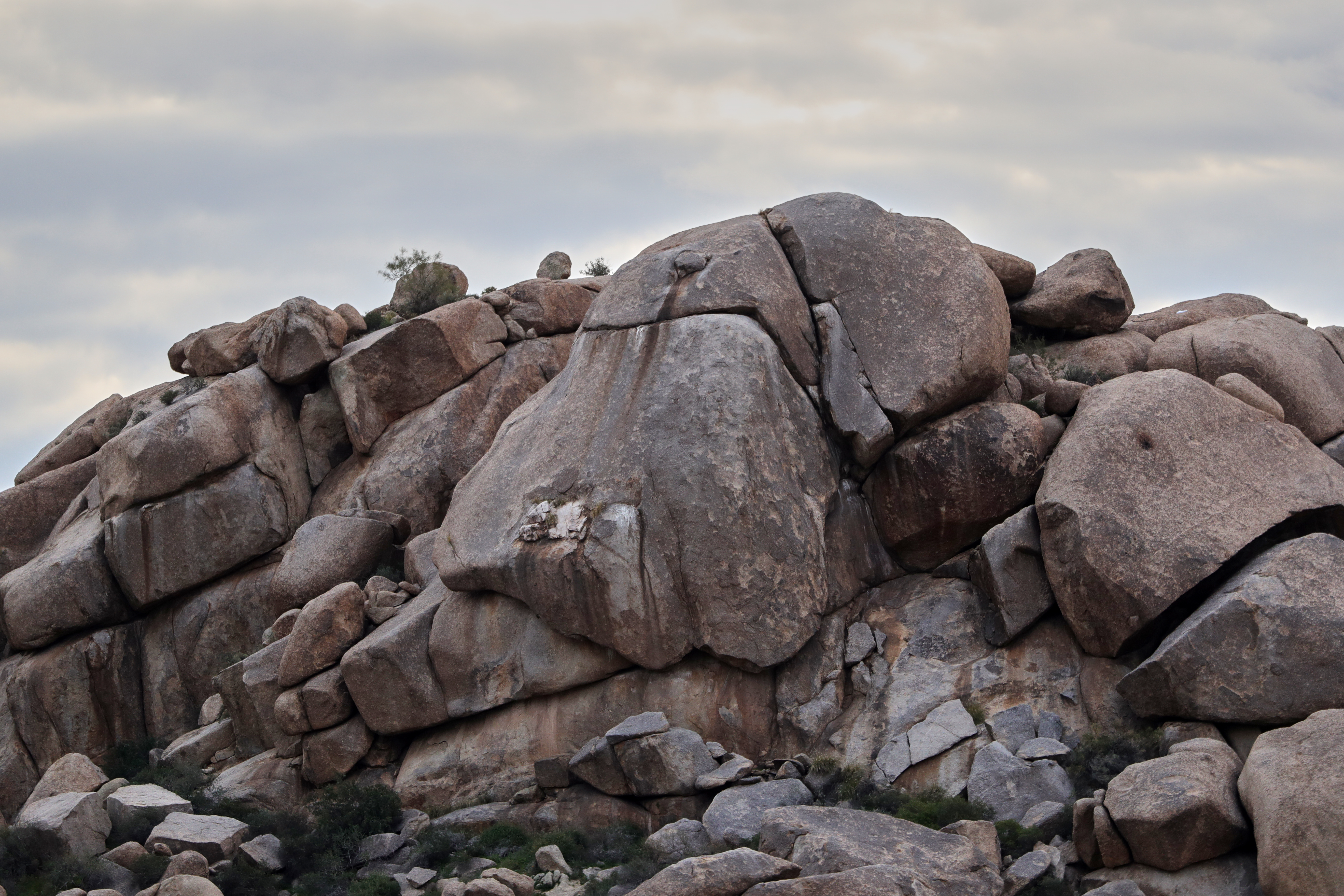
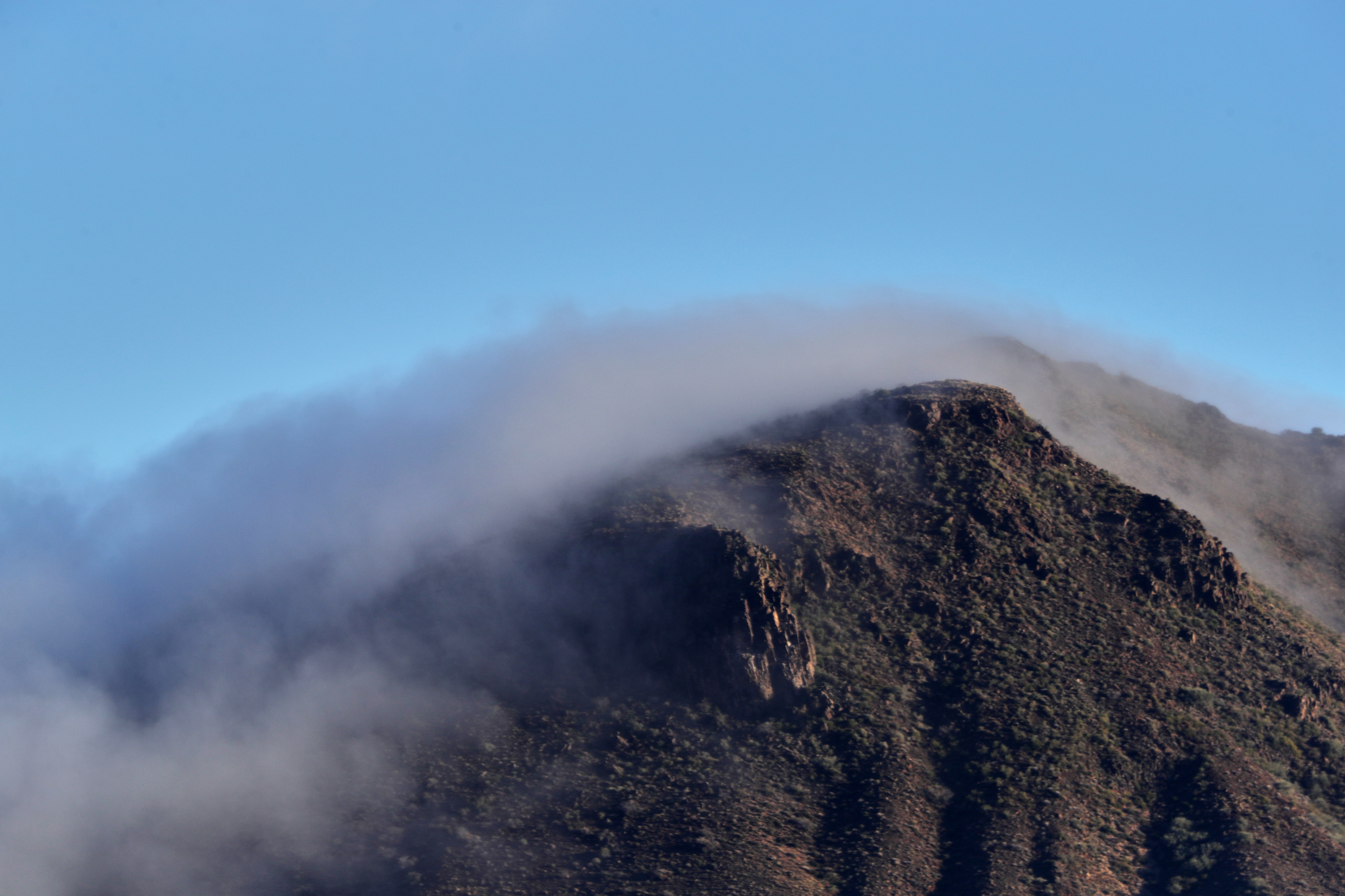
371. View from atop Quien Sabe summit centered on Black Mountain in the distance
arizona cactus saguaro cavecreek saguarocactus supershot spurcrossranch anawesomeshot impressedbeauty photocontesttnc10 waynebierbaum
All I Asked Was, "Which Way?"
sunset arizona cactus sky cloud sun fall phoenix weather topv111 clouds cacti landscape desert cloudy scenic naturallight topv222 valley vista orangesky goldensunset dramaticsky hdr beautifulclouds beautifulview sunray desertview 2007 eveninglight phoenixarizona afternoonlight phoenixaz scenicview desertmountain eerielight maricopacounty goldensky welltaken nikond200 unusuallight flickrsbest glowingcloud dearflickrfriend shieldofexcellence jimhankey arizonaweather phoenixweather phoenixariz arizonafall
The Middle Of Nowhere Shows Its Good Side
32. View along Bartlett Dam Road toward St. Clair Peak on a crisp New Year's Day
city arizona southwest street canon vintage old retro diner cafe restaurant food cavecreek bigearls nostalgic nostalgia classic gasstation 1930s thirties ephemeral sign signage tree america unitedstates southwestern nourriture nahrungsmittel maricopacounty schild signo signe alimentation eten comestible pagkain letrero american usa añejo época clásico teken uithangbord skilt skylt comhartha segno seña baum árbol arbre
Cool Retro Diner Arrow Sign: Big Earl's Greasy Eats, Cave Creek, Close-up, West View
ranch arizona mountain forest landscape spur cross outdoor hiking az hike national tonto hikes cavecreek tontonationalforest elephantmountain spurcross unature azhike alhikesaz
Elephant Mountain Sunrise
ranch arizona mountains southwest landscape hiking nationalforest saguaro tonto sonorandesert hikes cavecreek blackmesa tontonationalforest spurcross azhike alhikesaz intphoenix
View to southwest approaching Black Mesa - Spur Cross
city arizona southwest street canon vintage old retro diner cafe restaurant food cavecreek bigearls nostalgic nostalgia classic gasstation 1930s thirties ephemeral sign signage america unitedstates southwestern nourriture nahrungsmittel maricopacounty schild signo signe alimentation eten comestible pagkain letrero american usa añejo época clásico teken uithangbord skilt skylt comhartha segno seña
Cool Retro AZ Diner Sign: Big Earl's Greasy Eats, Cave Creek, View to the East
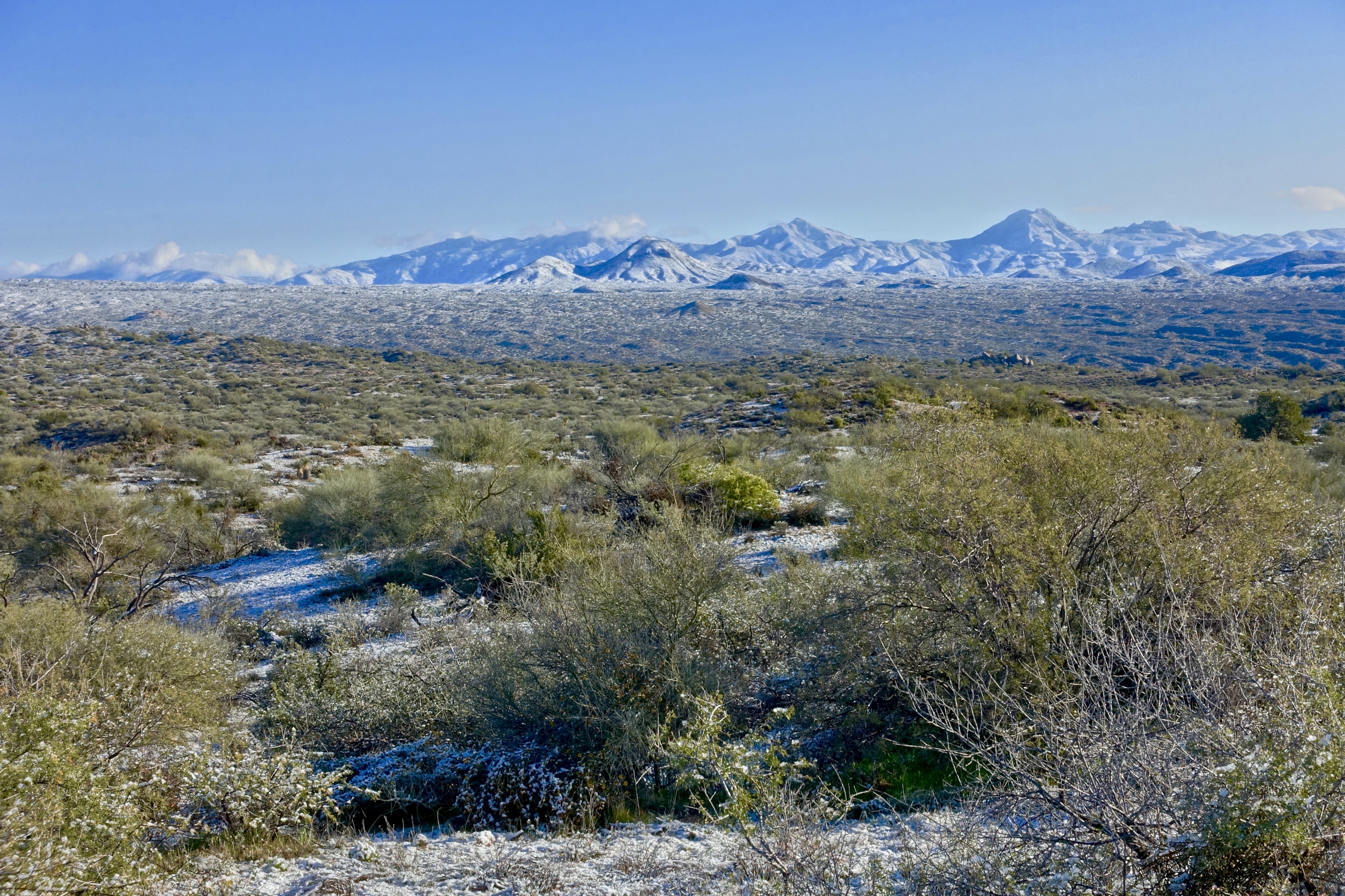
46. View along Horseshoe Dam Road of an unusually snowy landscape
red arizona people italy panorama cars yellow clouds spider italian automobile italia dino crowd convertible 360 az ferrari spyder 328 resort vehicles boulders giallo 09 f gathering 365 modena daytona lamborghini 2009 coupe v8 carshow yellowferrari exotics f430 v6 gtb gts targa 430 pantera f355 detomaso testarossa mondial v12 308 355 concorso gtb4 rossocorsa dethomaso
Concorso Arizona 2009
ranch arizona mountain mountains southwest clouds landscape day cloudy hiking nationalforest sugarloaf saguaro tonto sonorandesert hikes cavecreek blackmesa tontonationalforest spurcross skullmesa azhike alhikesaz intphoenix
Sugarloaf Mountain and Skull Mesa from Black Mesa Trail - Spur Cross
ranch park county arizona mountain elephant mountains forest landscape spur cross desert hiking national sonoran tonto sonorandesert hikes cavecreek maricopa tontonationalforest elephantmountain spurcrossranch azhike alhikesaz intphoenix
Elephant Mountain view to east south east
park county arizona mountains building green nature rock architecture creek energy desert hiking leed country parks center structure system area cave recreation visitor sonoran regional sonorandesert hikes cavecreek visitorcenter naturecenter maricopa usgbc maricopacounty efficient energyefficient leedcertified azhike alhikesaz cavecreekrecreationarea maricopacountyparkssystem intphoenix
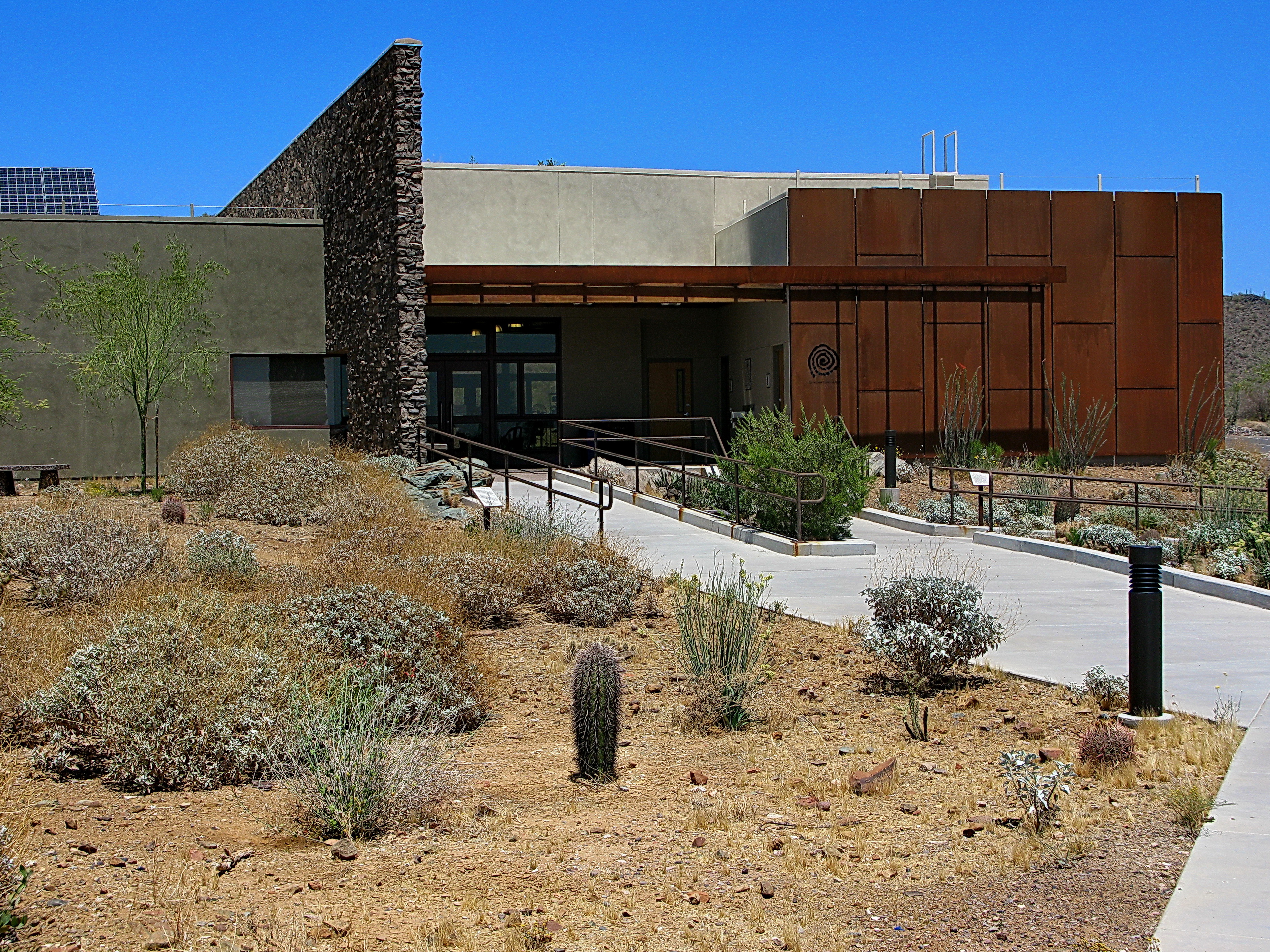
Cave Creek Recreation Area Nature Center
arizona usa forest ruins native hiking sears ruin kay nativeamerican national american seven springs tonto archeology carefree hohokam hikes sevensprings tontonationalforest searskayruin searskayruins azhike alhikesaz
Sears-Kay Ruins - Tonto National Forest
city arizona southwest street canon vintage old retro diner cafe restaurant food cavecreek bigearls nostalgic nostalgia classic gasstation 1930s thirties ephemeral sign signage america unitedstates southwestern nourriture nahrungsmittel maricopacounty schild signo signe alimentation eten comestible pagkain letrero american usa añejo época clásico teken uithangbord skilt skylt comhartha segno seña
Retro Diner, Red Arrow Sign: Big Earl's Greasy Eats, Cave Creek, Street View to West, Cave Creek, AZ
park county arizona mountains building green nature rock architecture creek solar energy desert hiking leed country parks center structure system area cave recreation visitor sonoran regional sonorandesert hikes cavecreek visitorcenter certified naturecenter maricopa usgbc maricopacounty efficient energyefficient leedcertified azhike alhikesaz cavecreekrecreationarea maricopacountyparkssystem intphoenix
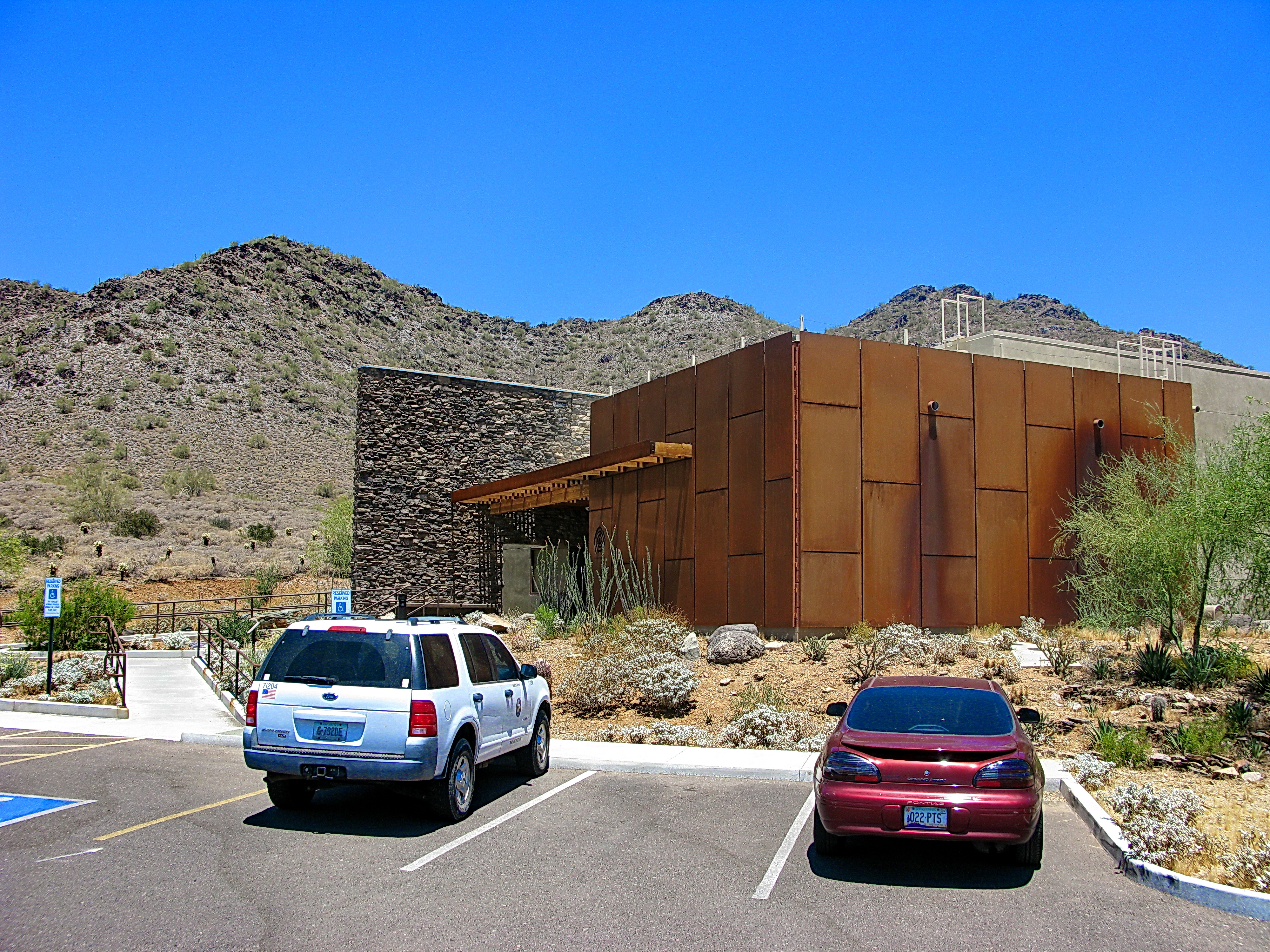
Cave Creek Recreation Area Visitor Center - LEED Certified
43. View along Horseshoe Dam Road toward snowy St. Clair Peak
frommobileme
108. Sunset as viewed looking down Happy Hollow Drive
ranch arizona mountain skull hiking conservation hike nationalforest explore backpacking backpack tonto mesa hikes cavecreek elephantmountain spurcross azwexplore azhike alhikesaz
Elephant Mountain in the Spur Cross Ranch looking NE at Skull Mesa in the Tonto National Forest
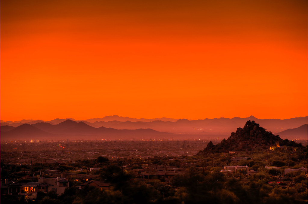
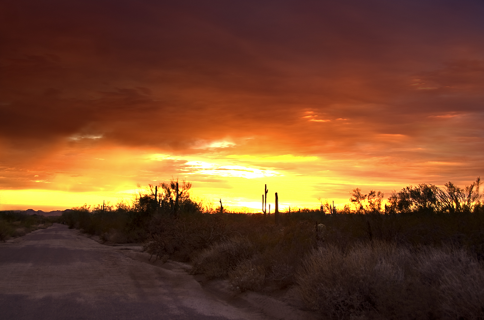
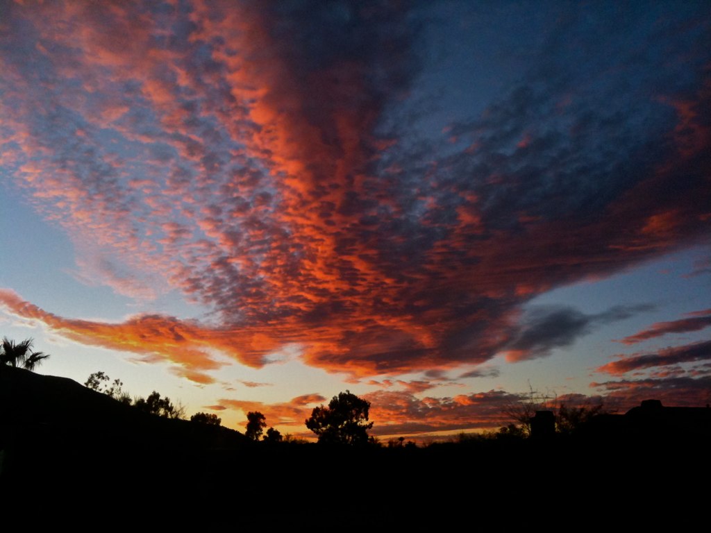
sunset night az clear scottsdale hdr photomatix platinumphoto goldstaraward 2008101300070
Scottsdale Sunset
pink arizona cactus snow southwest detail macro nature weather closeup outdoors spring desert adventure pricklypear exploration discovery sunburnt snowcovered sevensprings pricklypearcactus tontonationalforest opuntiaengelmannii engelmannspricklypear zoniedude1 canonpowershotg11 earthnaturelife desertspring2012 equinoxsnowstorm pinksnowcactus
Pink Snow Cactus
nature landscape
01-17-19-0044625
nature landscape
01-17-19-0044624
road blue arizona cactus sky 3 green college phoenix yellow creek canon lens landscape rebel concentration driving desert angle zoom quality wide land cave steven douglas hdr prep lightroom brophy t1i stouglas12 cschroeder12
Welcome to Arizona. Here's a (tone)Map of the Area!
nature arizona tontonationalforest sonorandesert
01-07-19-0043931
nature landscape
01-17-19-0044600
nature landscape
01-17-19-0044598
nature landscape birds
01-09-19-0044044
nature landscape
01-11-19-0044184
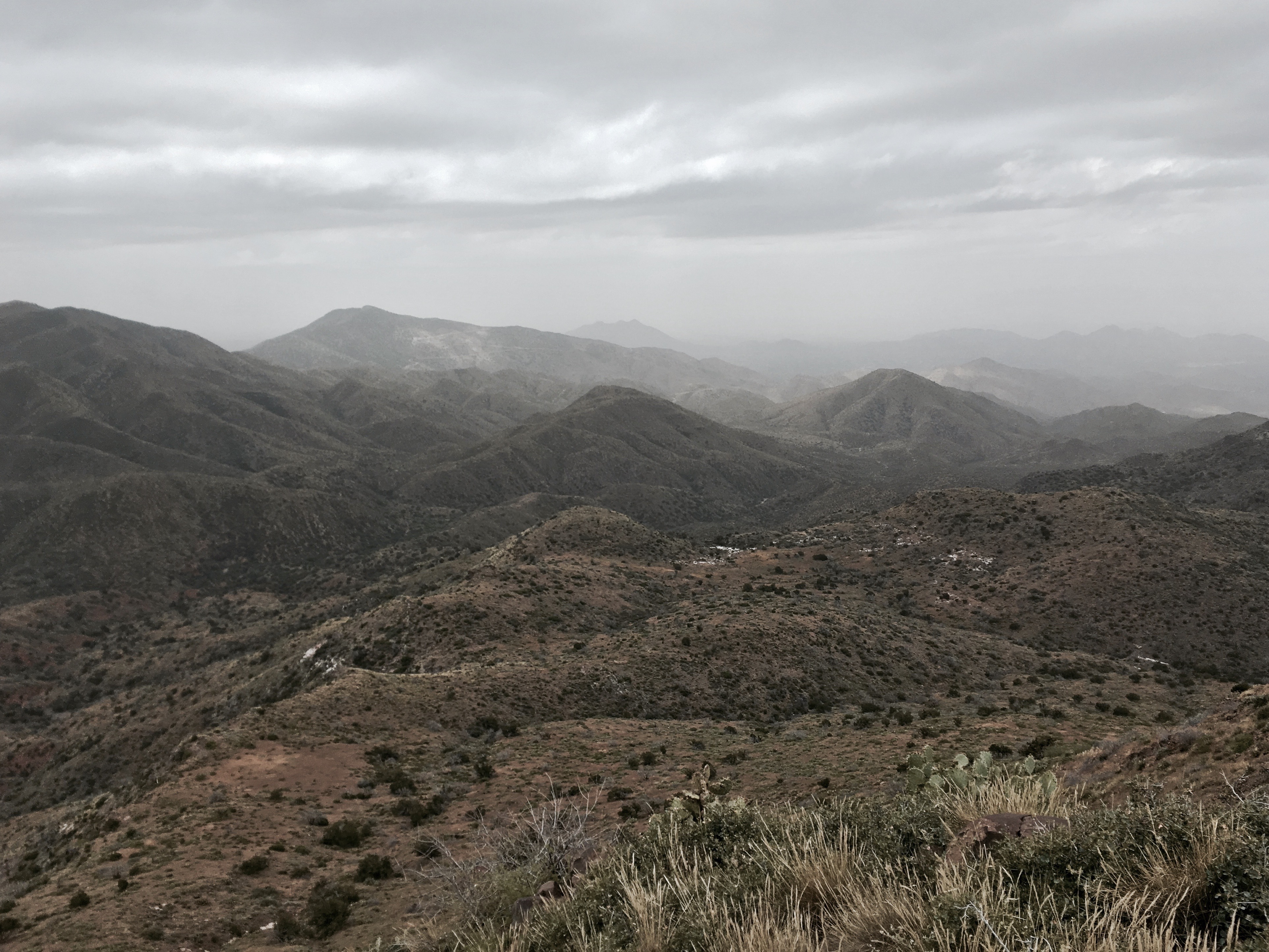
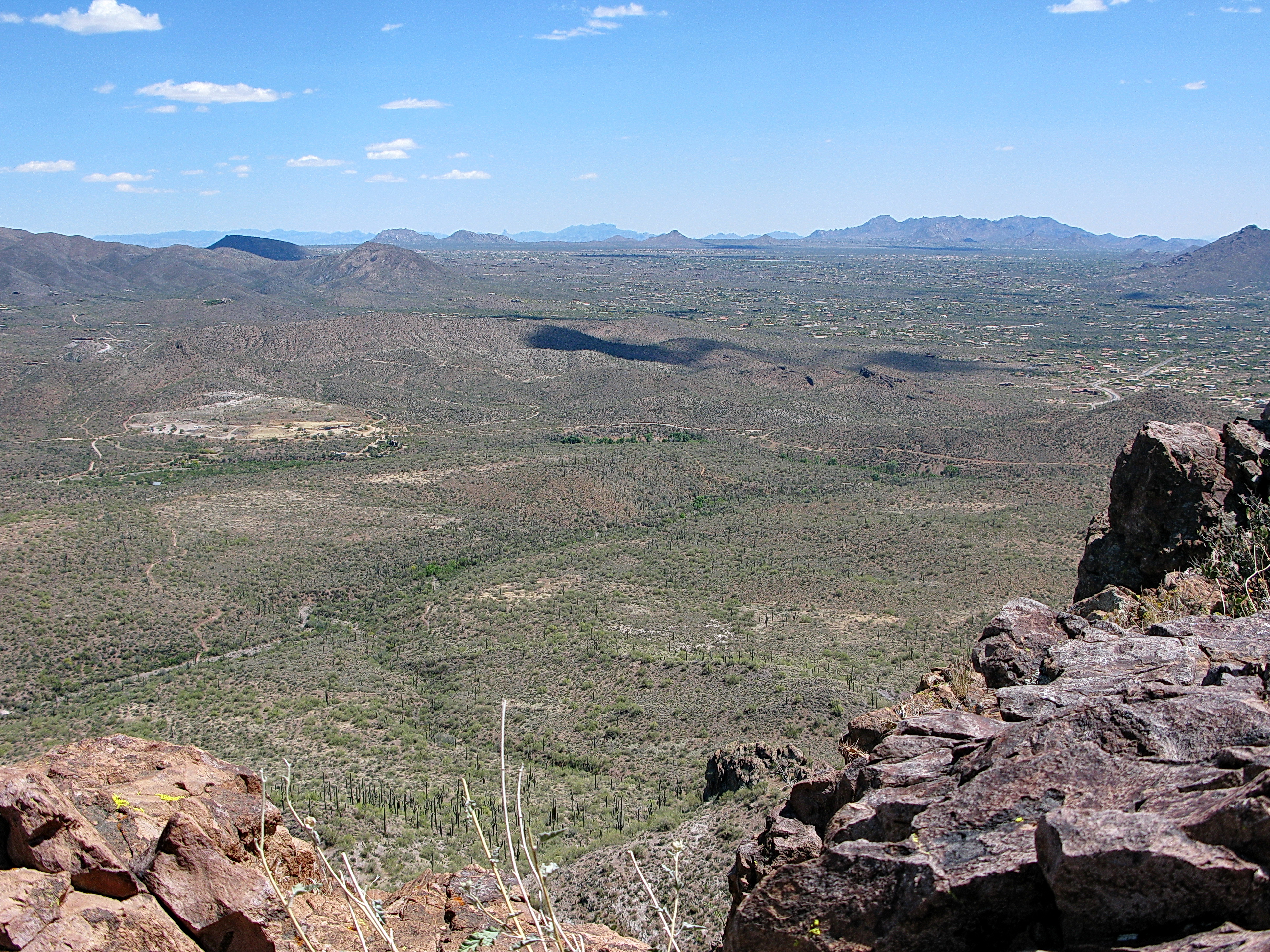
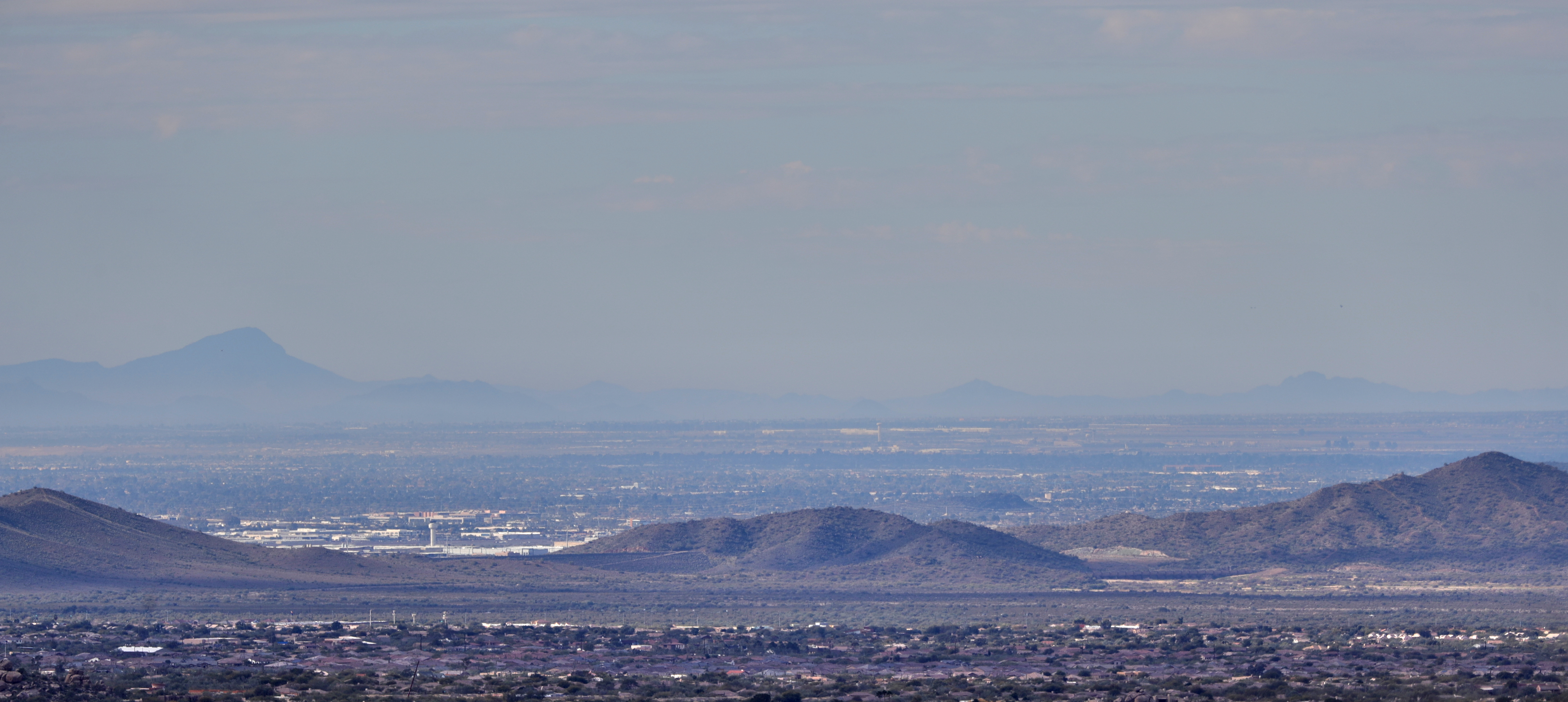
372. Panorama of distant mountaintop landmarks as seen from summit of Quien Sabe
nature landscape
01-11-19-0044286
nature landscape
01-17-19-0044674
nature landscape birds
01-09-19-0044041
nature landscape birds
01-09-19-0043957
nature arizona tontonationalforest sonorandesert
01-07-19-0043894
nature landscape
01-17-19-0044608
square squareformat iphoneography instagramapp uploaded:by=instagram foursquare:venue=4e446810628485fd4c6058c0
The evening view from Black Mountain.
nature landscape
01-17-19-0044675
nature landscape birds
01-09-19-0043987
nature arizona tontonationalforest sonorandesert
01-07-19-0043924
01-01-19-0043812