Elevation of N Seven Springs Rd, Scottsdale, AZ, USA
Location: United States > Arizona > Maricopa County > Scottsdale >
Longitude: -111.81697
Latitude: 33.9056367
Elevation: 1036m / 3399feet
Barometric Pressure: 89KPa
Elevation Map:
Satellite Map:
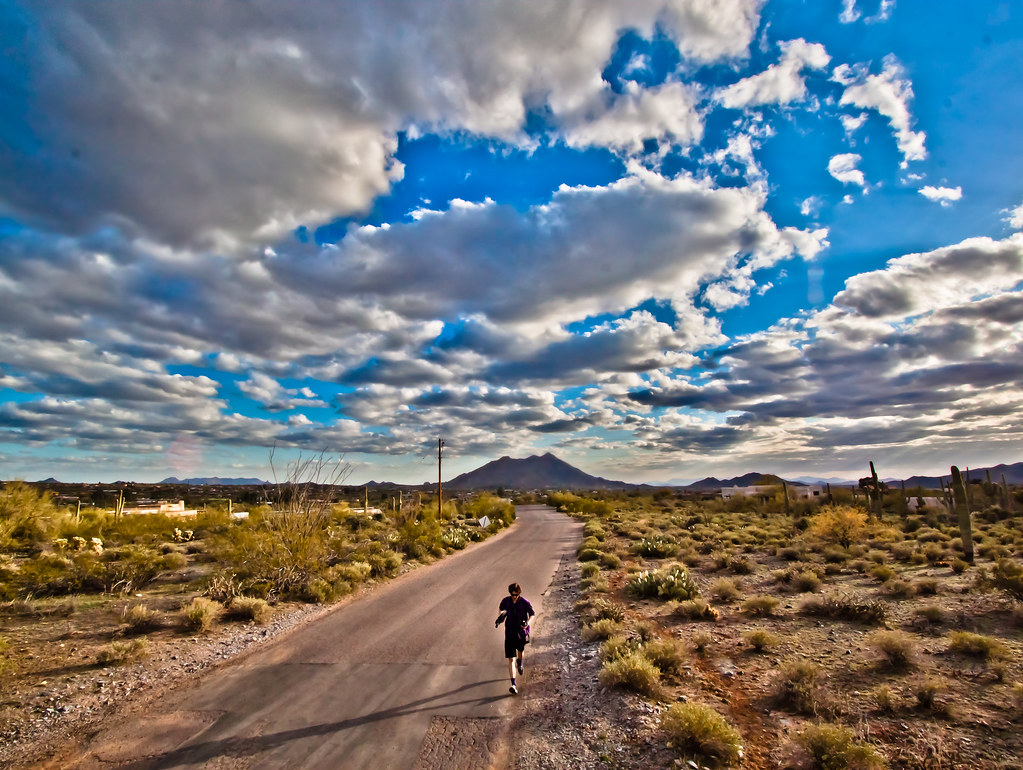
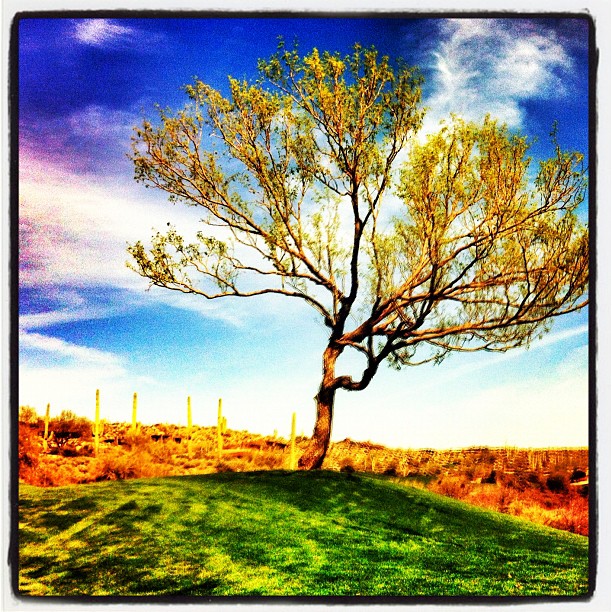
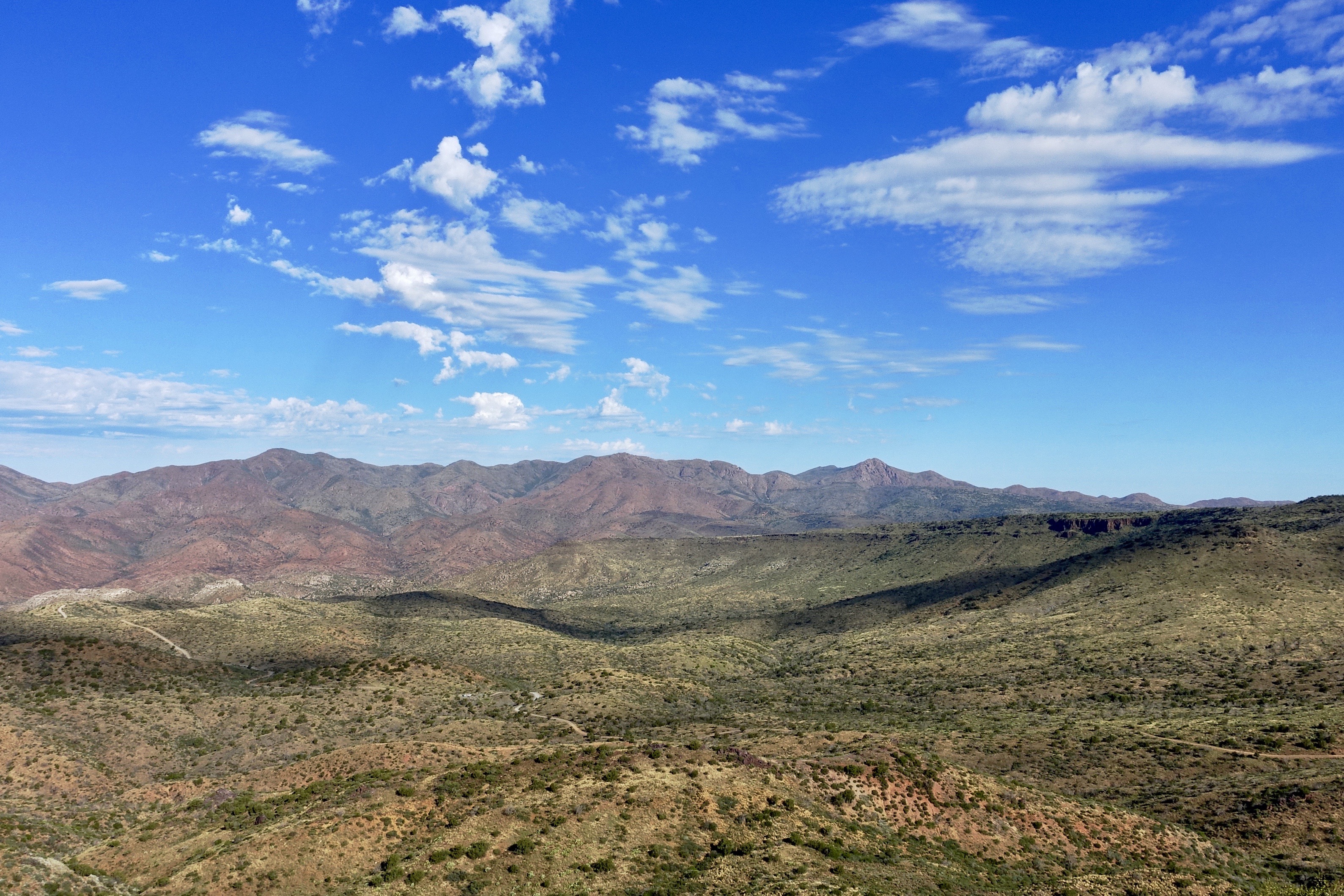
Related Photos:

The evening view from Black Mountain.

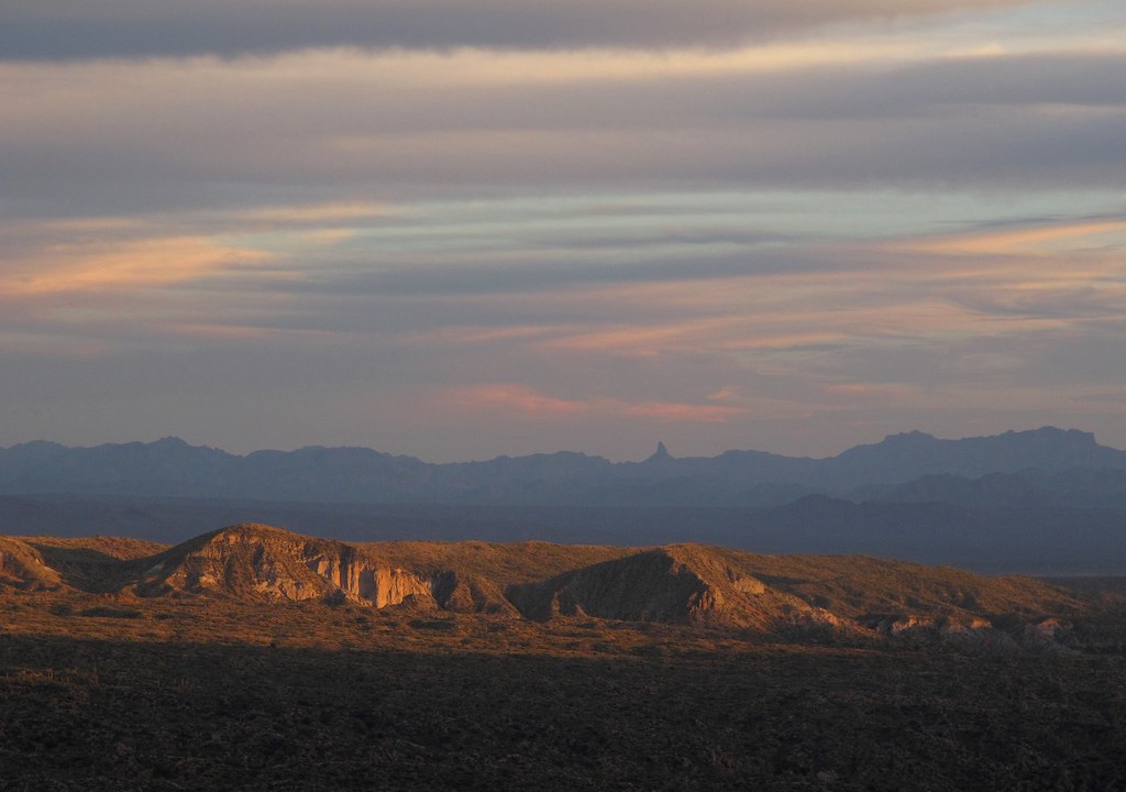
Elephant Mountain Sunrise
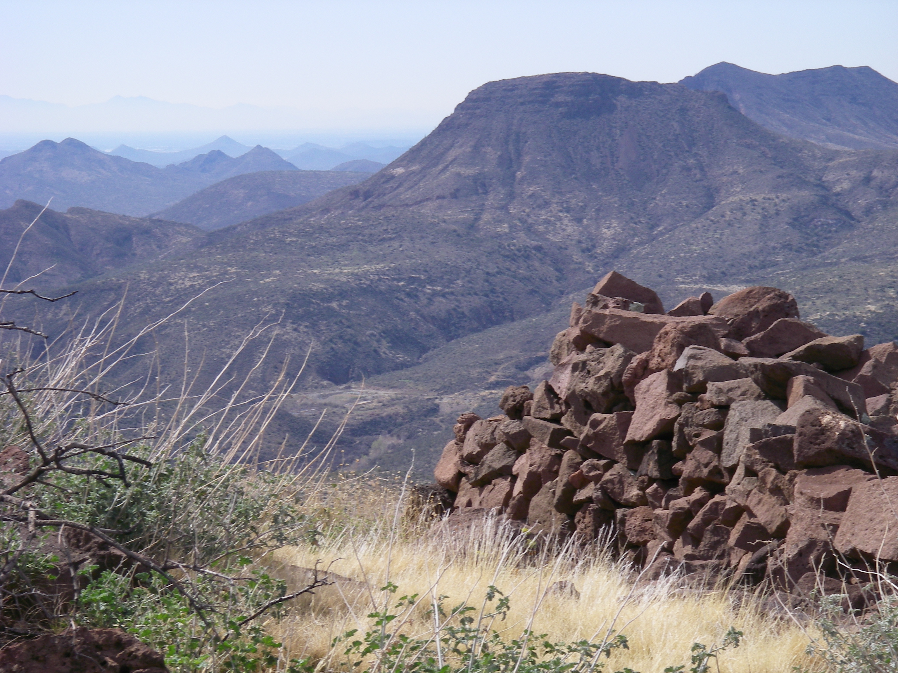
View from the Skull Mesa Fort

Elephant Mountain in the Spur Cross Ranch looking NE at Skull Mesa in the Tonto National Forest
View from Skull Mesa
371. View from atop Quien Sabe summit centered on Black Mountain in the distance

Pink Snow Cactus
Horseshoe and Humboldt
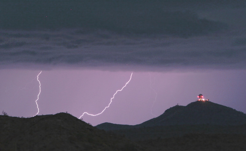
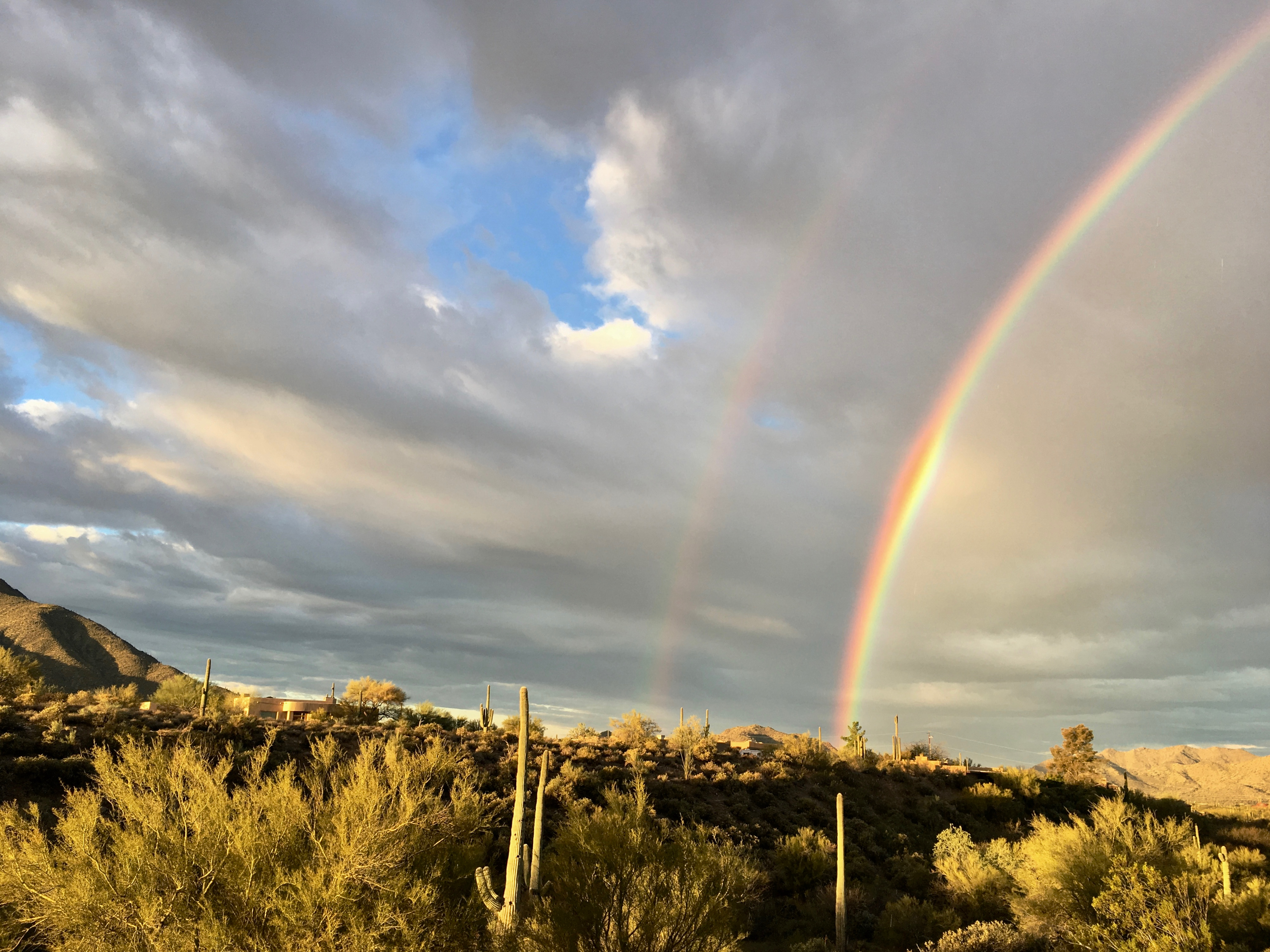
Seven Springs Lightning Strikes

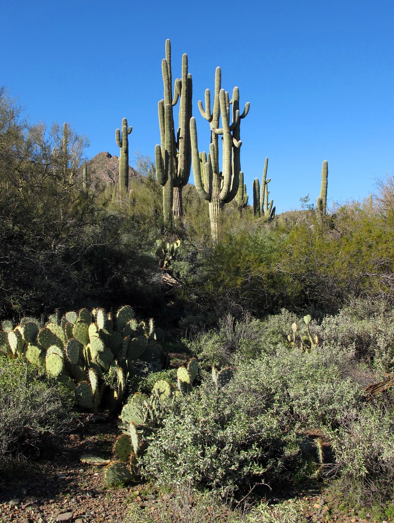
Land of the Giants

Cool Retro Diner Arrow Sign: Big Earl's Greasy Eats, Cave Creek, Close-up, West View

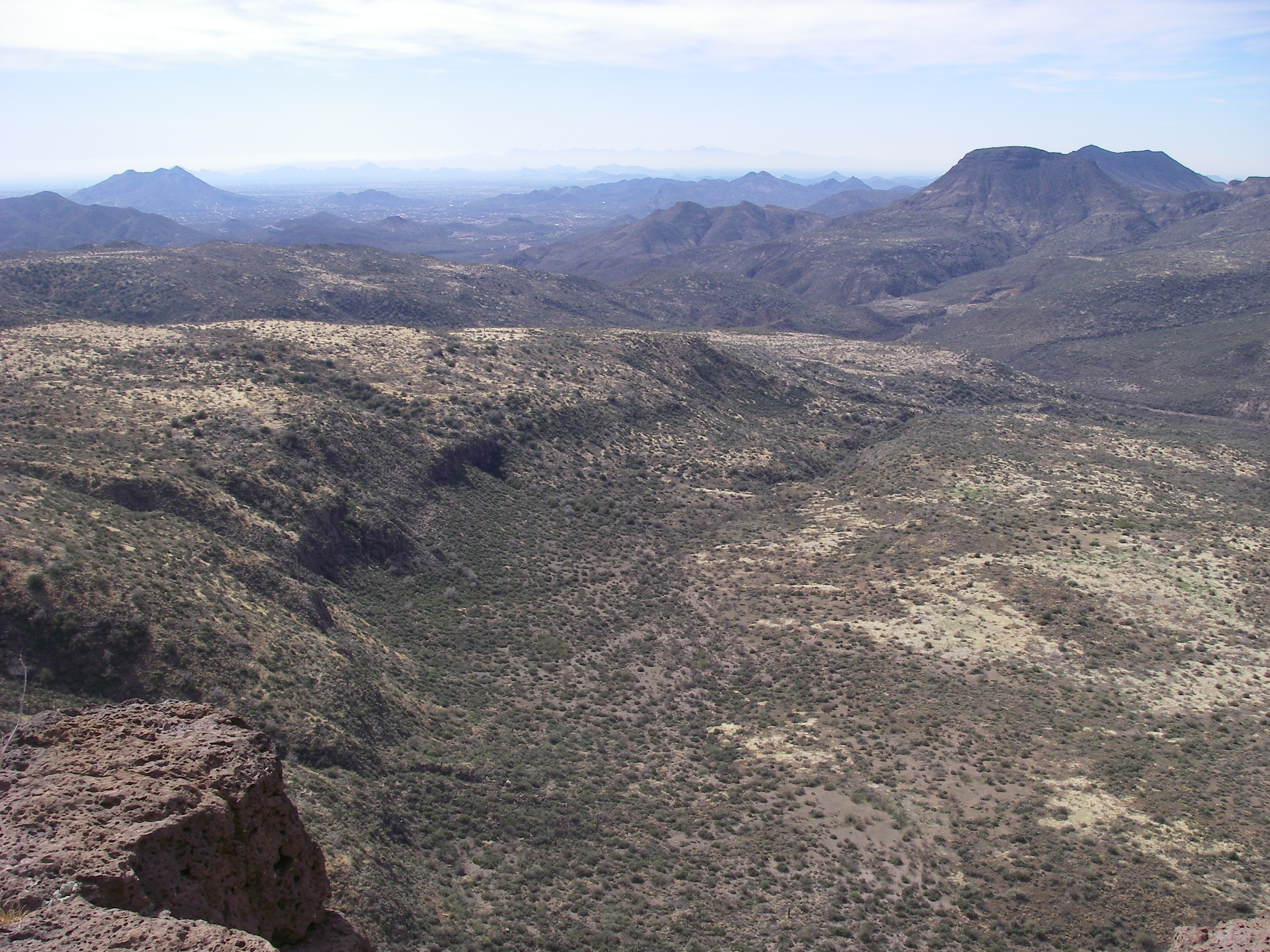
470. Panoramic view from hilltop west of old stone ruin along FR 468
Desert Horizons
432. View from hilltop below Grapevine Mesa with New River Mountains as backdrop

View to southwest approaching Black Mesa - Spur Cross

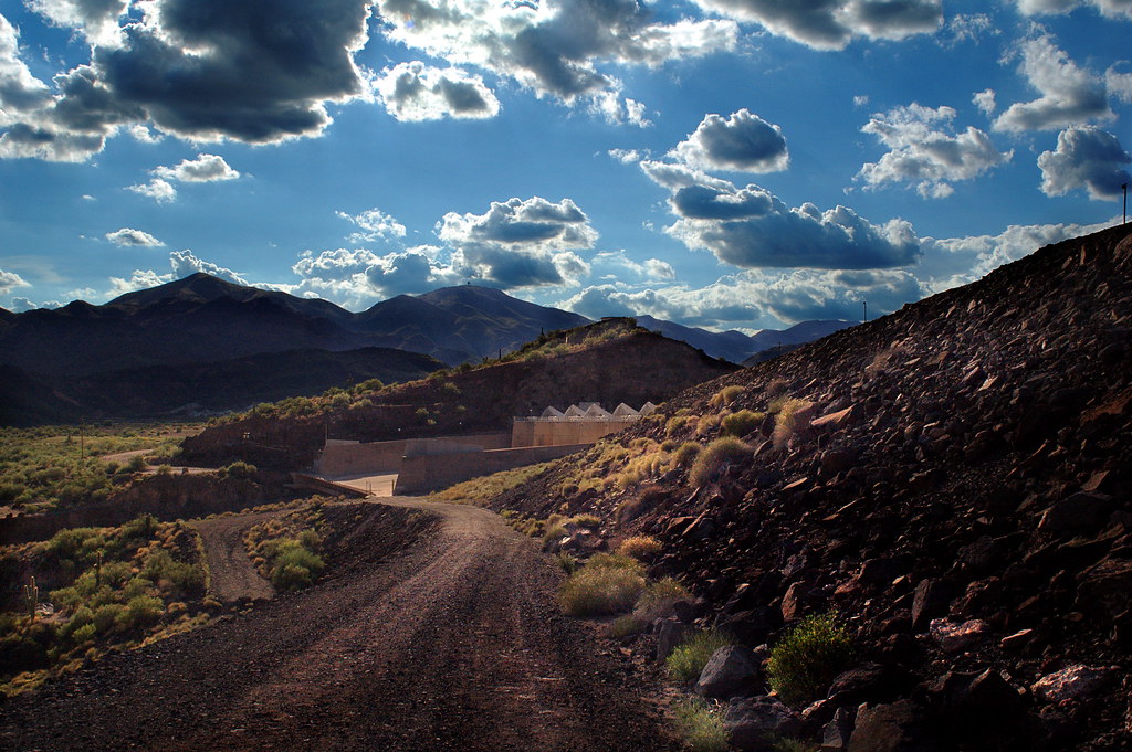
Horseshoe Dam

Cool Retro AZ Diner Sign: Big Earl's Greasy Eats, Cave Creek, View to the East

36. View toward McDowell Mountains from Double D Ranch Mine
Desert Green Scene

Harmony Hollow Ranch - whimsical fence - Cave Creek

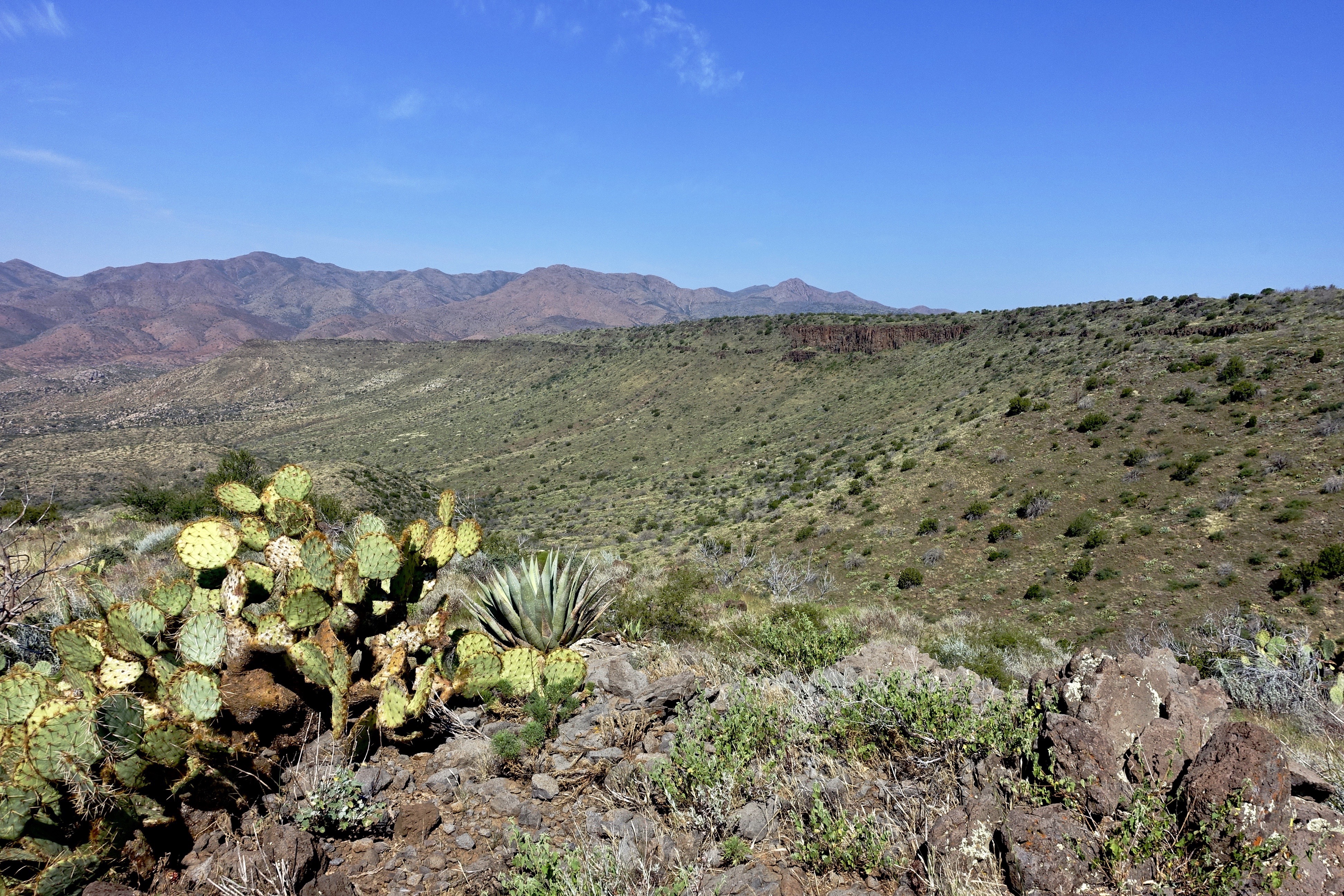
Sugarloaf Mountain and Skull Mesa from Black Mesa Trail - Spur Cross
farewell cave creek
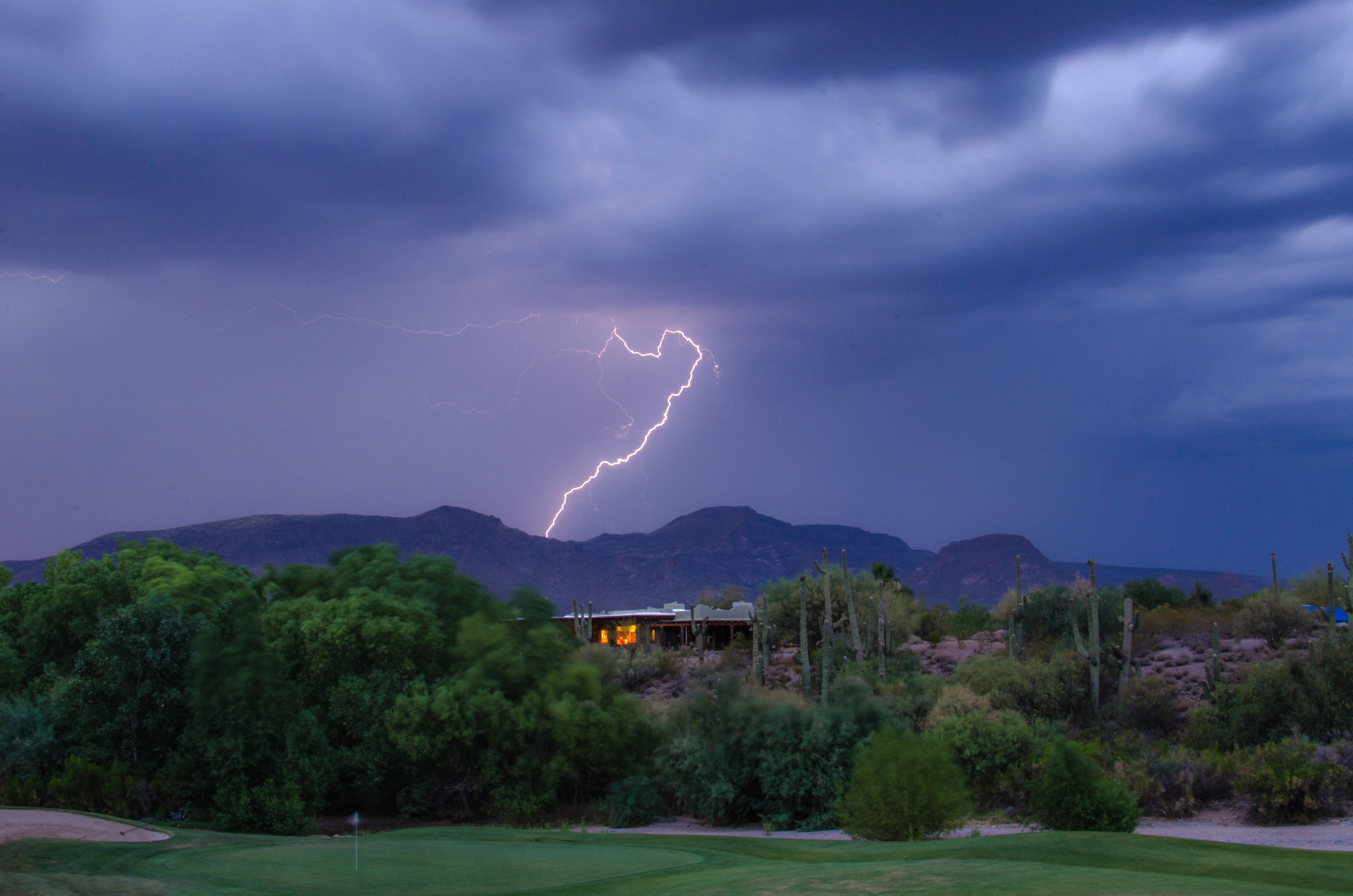
Lightning from Cave Creek
Geronimo Golf
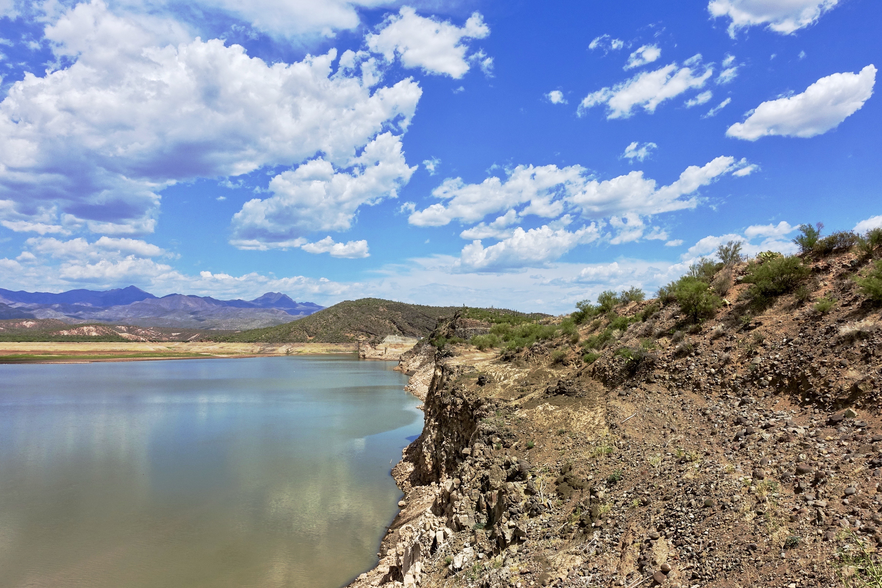
79. Horseshoe Reservoir at about 2% capacity on July 7th

Sunset 4.7.13
Welcome to Arizona. Here's a (tone)Map of the Area!
Tree on Geronimo

372. Panorama of distant mountaintop landmarks as seen from summit of Quien Sabe
411. New River Mountains and Grapevine Mesa as seen from south of FR 3193
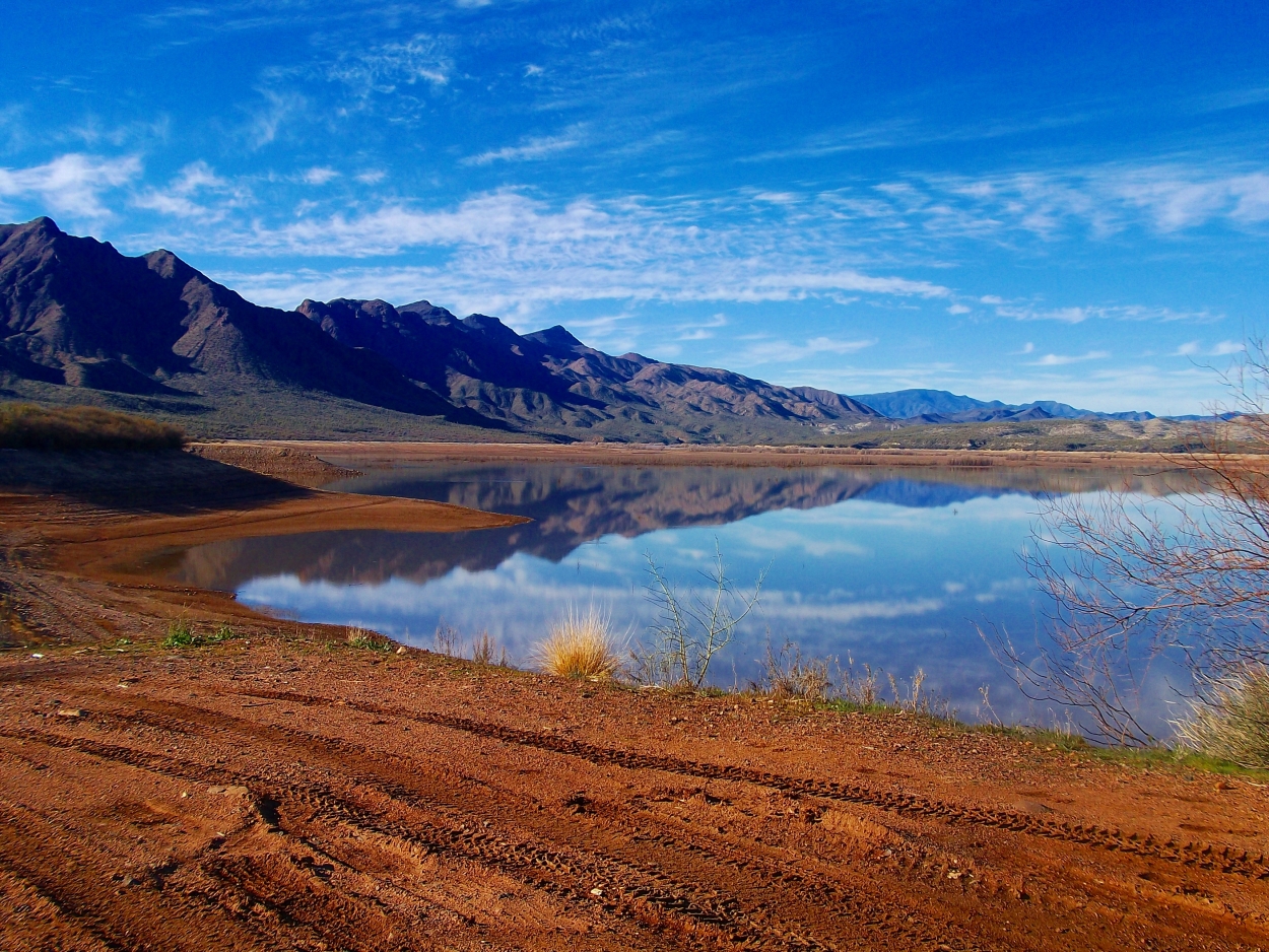
Horseshoe Lake, Arizona

Horseshoe Dam at Night
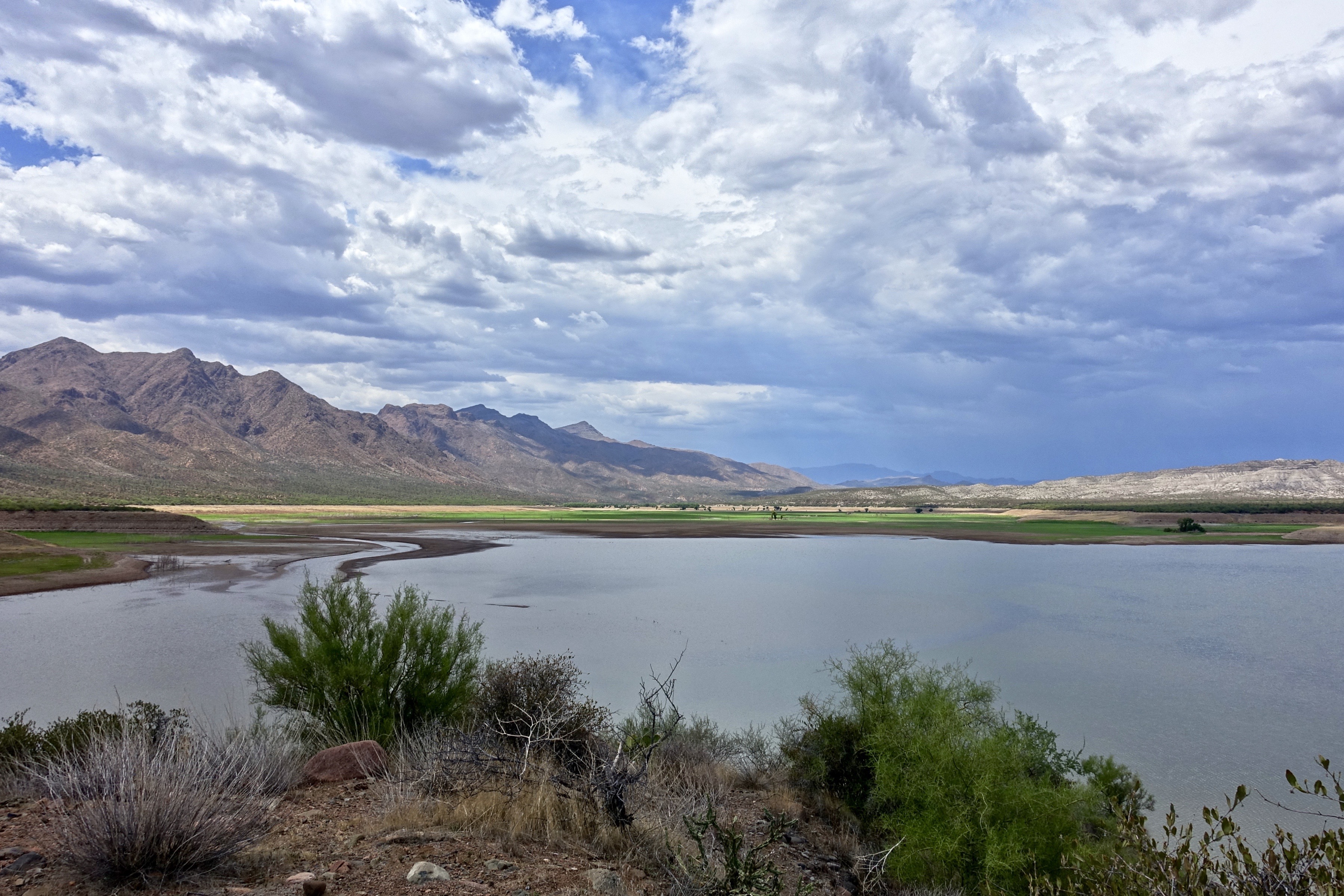
77. Horseshoe Reservoir at 2% capacity on July 7th
Arizona country scene
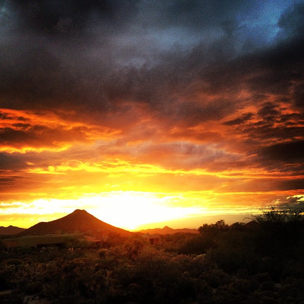
Sky on fire.
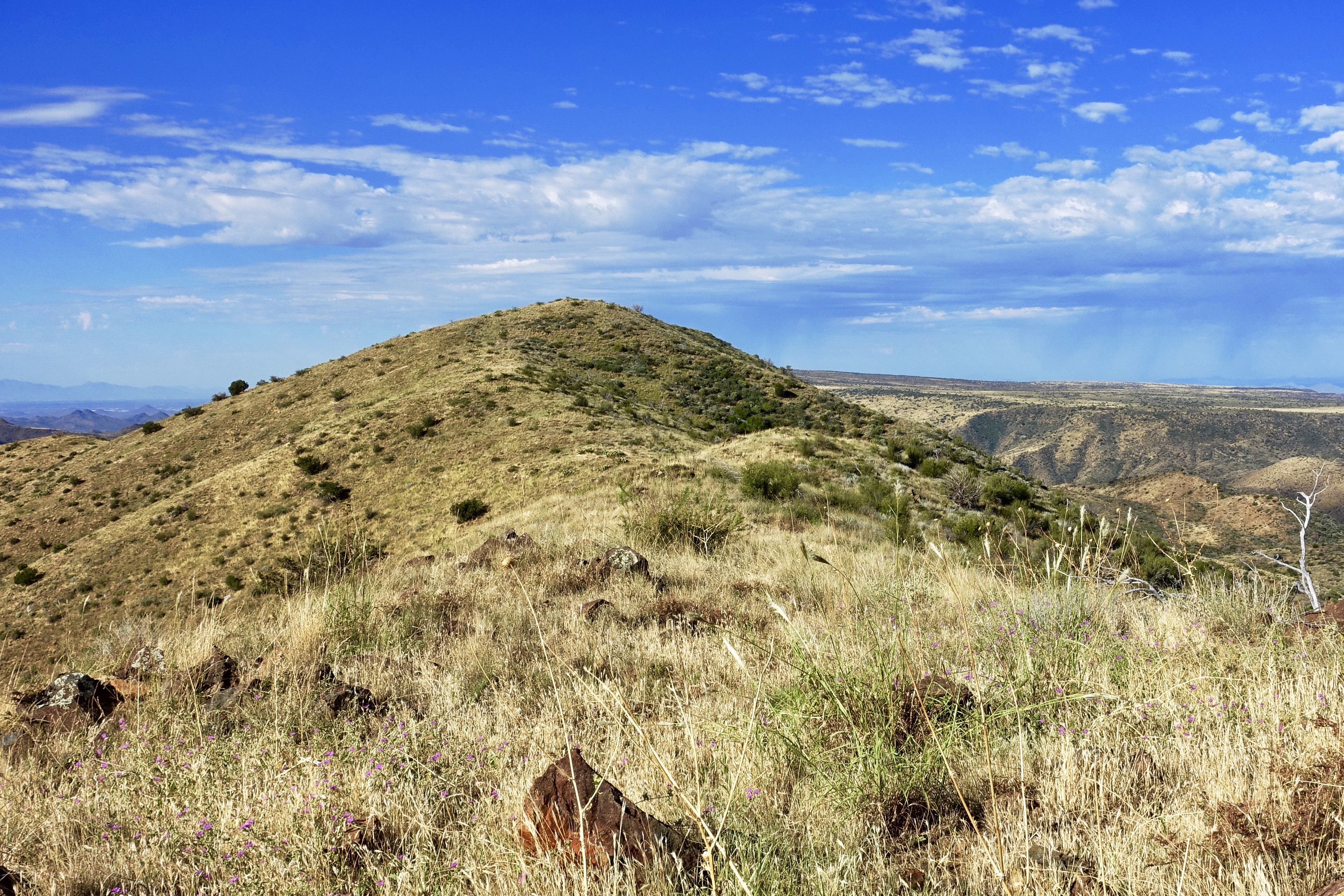
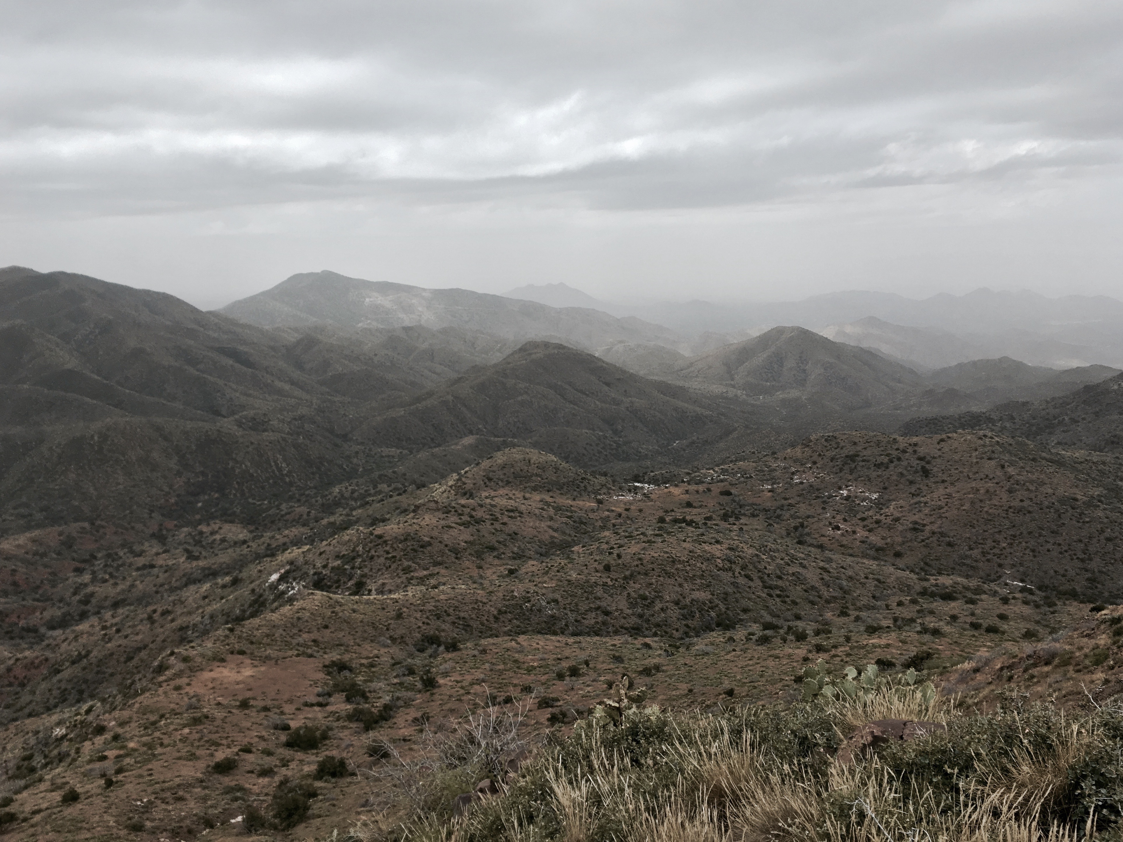
413. Heading up to the unnamed local peak south of FR 3193

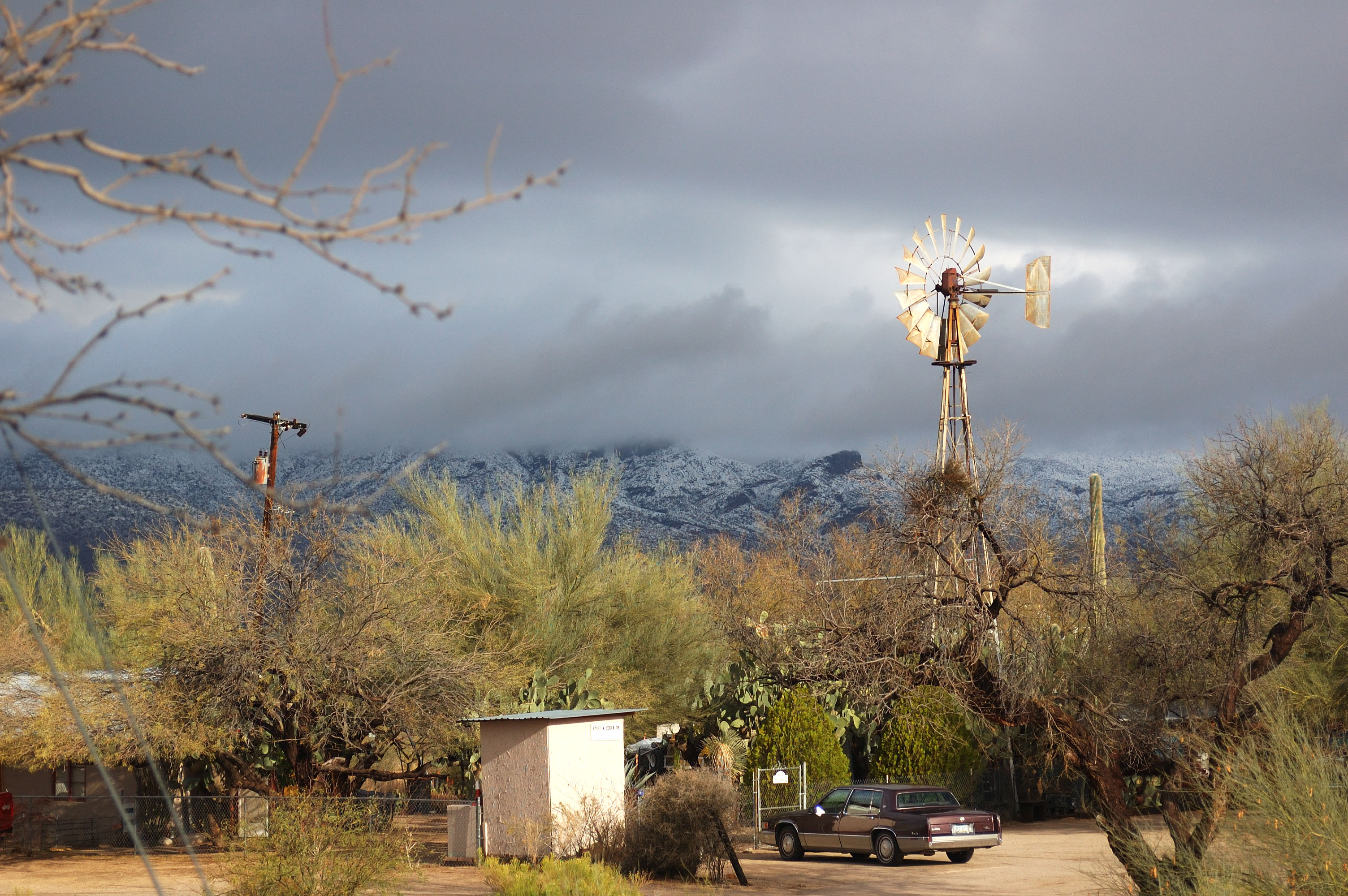
Arizona snow

476. Skull Mesa - Sugarloaf Mountain - Elephant Mountain - Black Mesa
Topographic Map of N Seven Springs Rd, Scottsdale, AZ, USA
Find elevation by address:

Places near N Seven Springs Rd, Scottsdale, AZ, USA:
46200 N Seven Springs Rd #19
46200 N Seven Springs Rd
N Seven Springs Rd, Scottsdale, AZ, USA
Camp Creek
46200 N Seven Springs Rd
11802 E Blue Wash Rd
Tonto Hills
43031 N 111th Pl
42220 N La Plata Rd
42208 N La Plata Rd
42401 N Old Mine Rd
42029 N La Plata Rd #47
North Deer Trail Road
Desert Mountain, Apache Peak
41777 N 111th Pl
42088 N 108th Pl
41212 N 111th St
42725 North 102nd Street
11157 E Mesquite Dr
10992 E Oatman Dr
Recent Searches:
- Elevation of Woodland Oak Pl, Thousand Oaks, CA, USA
- Elevation of Brownsdale Rd, Renfrew, PA, USA
- Elevation of Corcoran Ln, Suffolk, VA, USA
- Elevation of Mamala II, Sariaya, Quezon, Philippines
- Elevation of Sarangdanda, Nepal
- Elevation of 7 Waterfall Way, Tomball, TX, USA
- Elevation of SW 57th Ave, Portland, OR, USA
- Elevation of Crocker Dr, Vacaville, CA, USA
- Elevation of Pu Ngaol Community Meeting Hall, HWHM+3X7, Krong Saen Monourom, Cambodia
- Elevation of Royal Ontario Museum, Queens Park, Toronto, ON M5S 2C6, Canada