Elevation of N Seven Springs Rd, Scottsdale, AZ, USA
Location: United States > Arizona > Maricopa County > Scottsdale >
Longitude: -111.81638
Latitude: 33.9079024
Elevation: 1019m / 3343feet
Barometric Pressure: 90KPa
Elevation Map:
Satellite Map:
Related Photos:
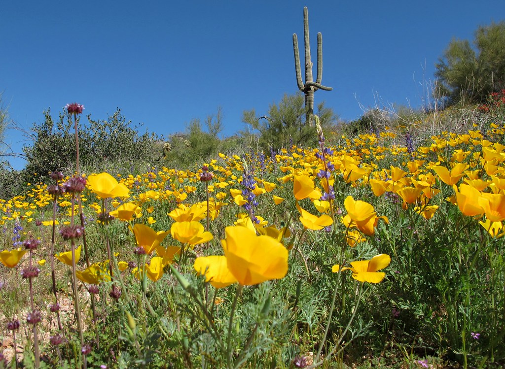
Spring Has Sprung!

Cool Retro Diner Arrow Sign: Big Earl's Greasy Eats, Cave Creek, Close-up, West View

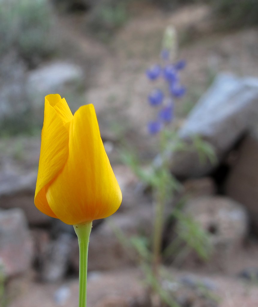
Pink Snow Cactus
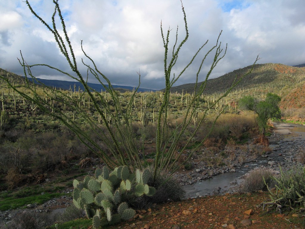
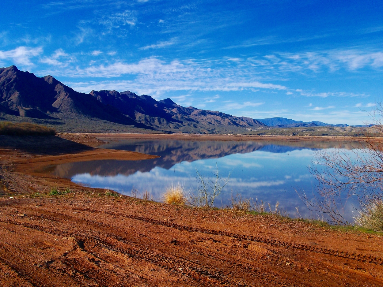
El Niño Desert
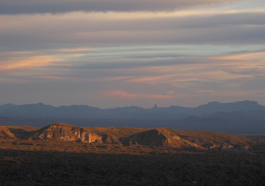
Desert Horizons

Cool Retro AZ Diner Sign: Big Earl's Greasy Eats, Cave Creek, View to the East

View to southwest approaching Black Mesa - Spur Cross
Opening Soon

Elephant Mountain Sunrise

Retro Diner, Red Arrow Sign: Big Earl's Greasy Eats, Cave Creek, Street View to West, Cave Creek, AZ

Sugarloaf Mountain and Skull Mesa from Black Mesa Trail - Spur Cross

Sears-Kay Ruins - Tonto National Forest

Yuccas on the Mesa
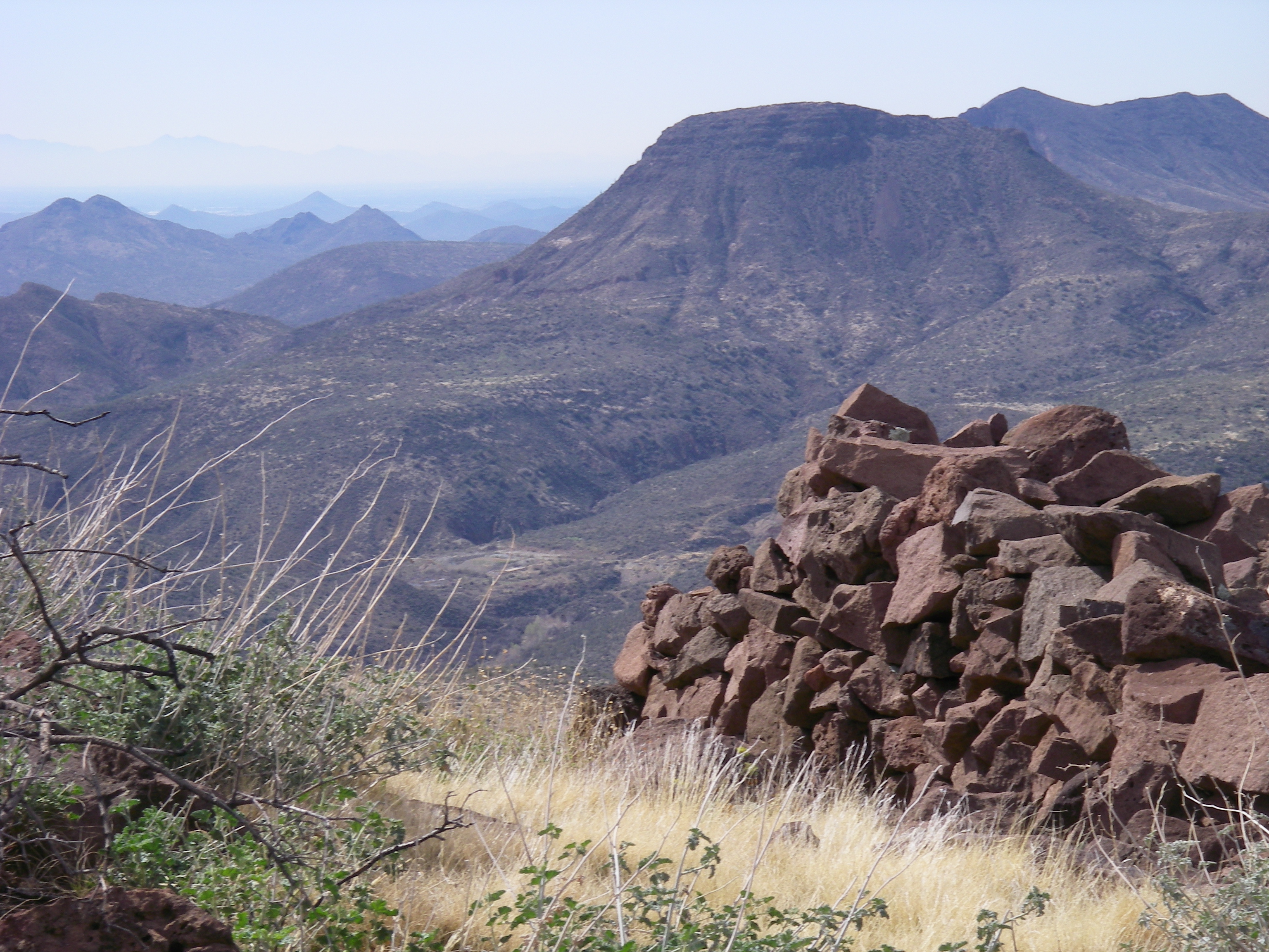
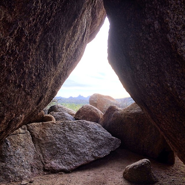
View from the Skull Mesa Fort
View to southwest from markers on Black Mesa - Cave Creek

All I Asked Was, "Which Way?"
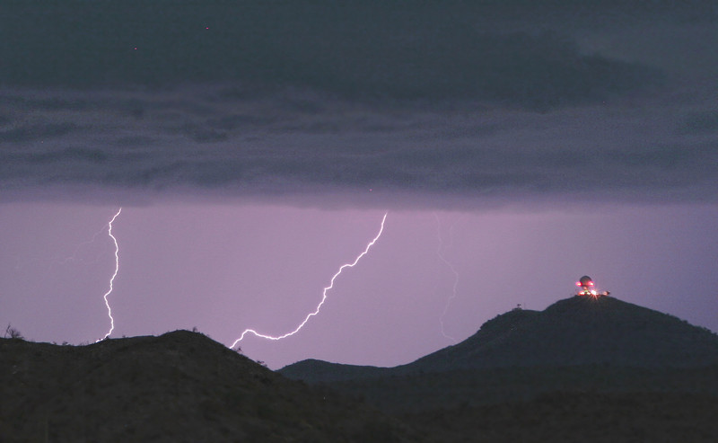
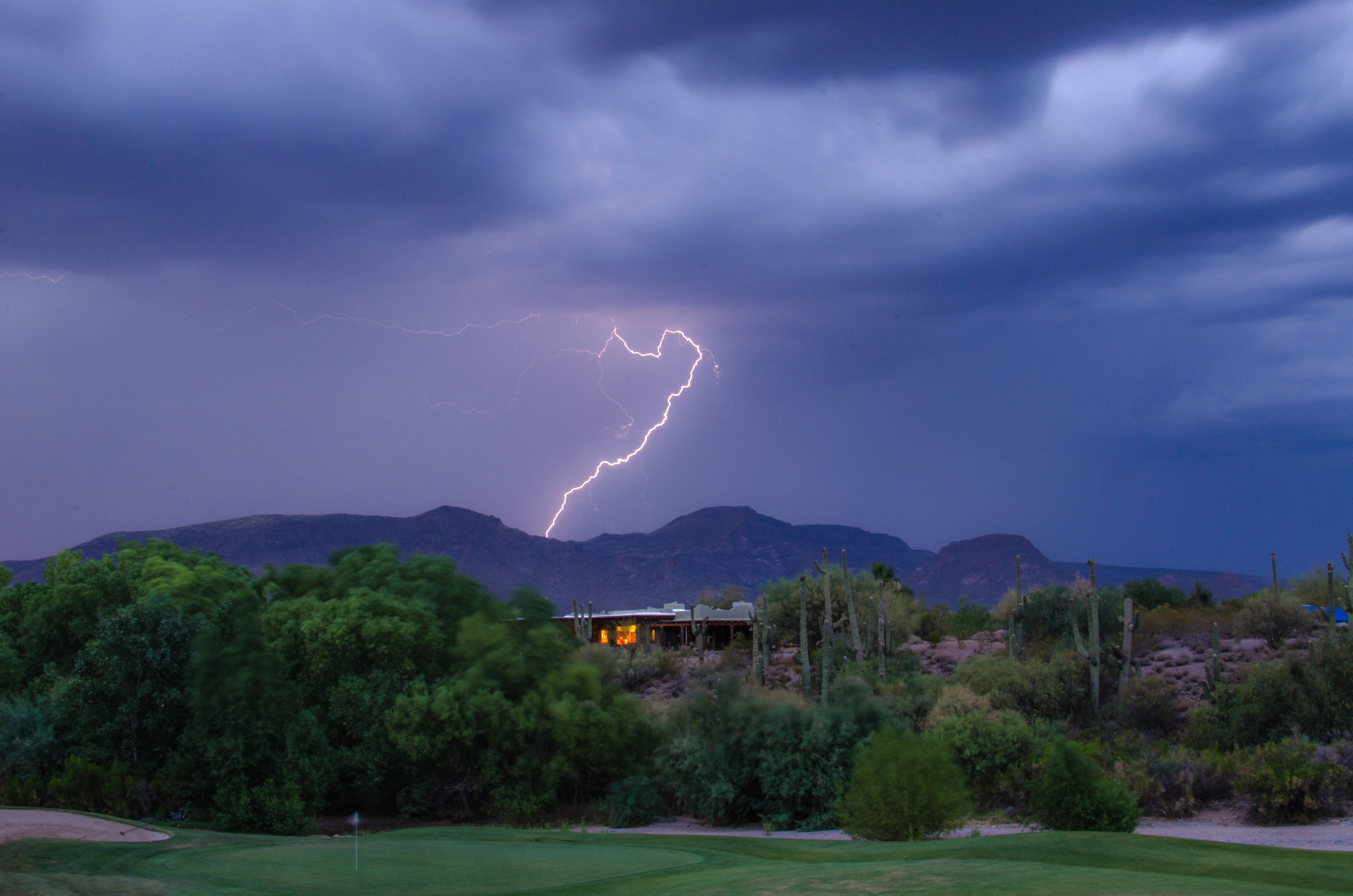
Seven Springs Lightning Strikes

Land of the Giants
Horseshoe and Humboldt

39. A landscape view looking south from underneath the Tonto Natural Bridge

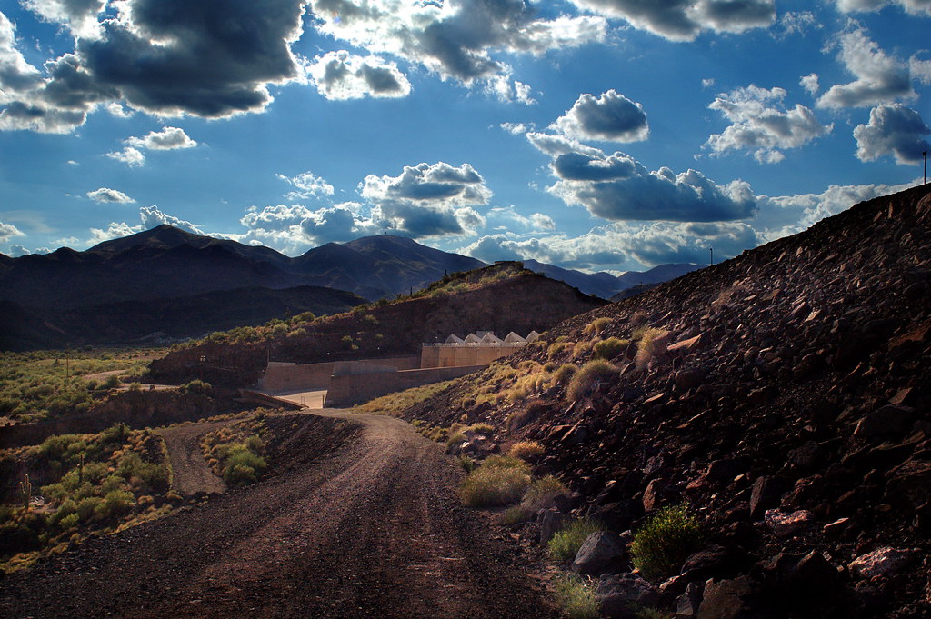
Horseshoe Dam

Sunset at Sears Kay
Had to hit the Cathedral (Rock) on my Sunday ride! #MTB #igersaz #igersphx #instagramaz #instaphoto #iphone5s #hdr #beautiful #landscape #Scottsdale
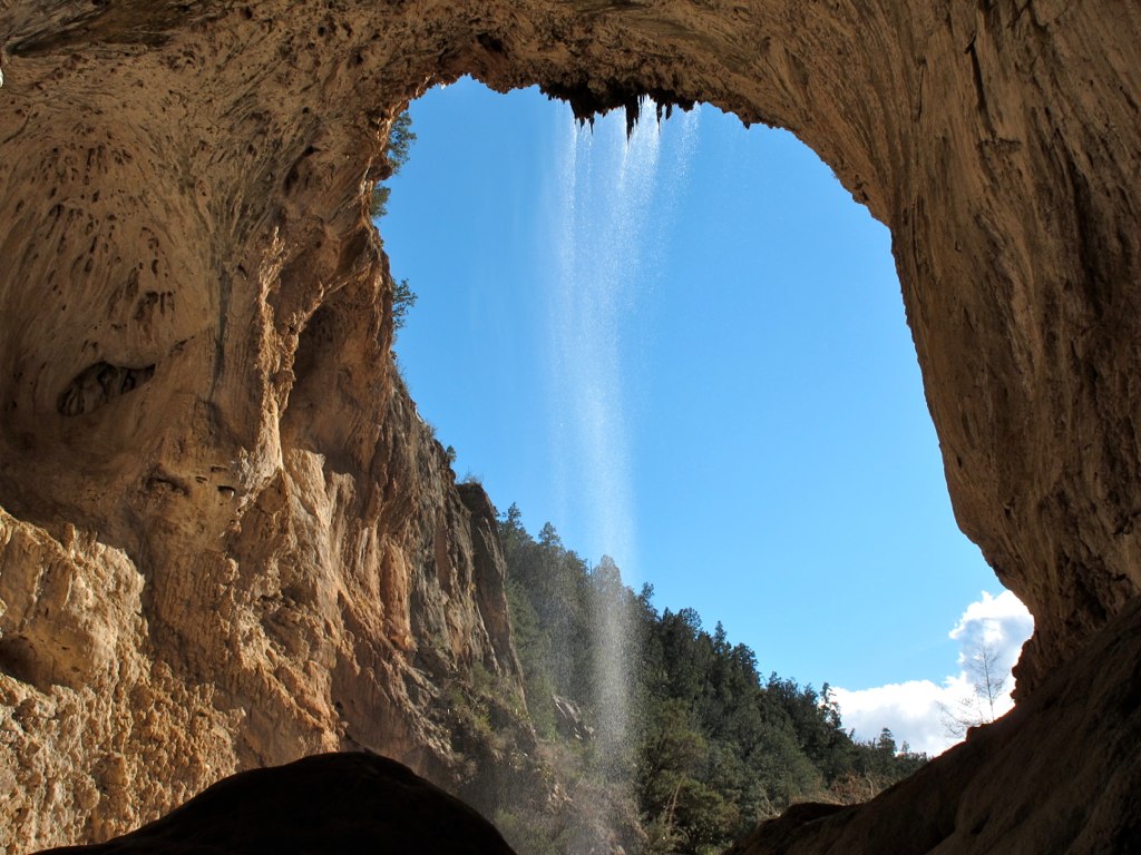
39. A landscape view looking south from underneath the Tonto Natural Bridge
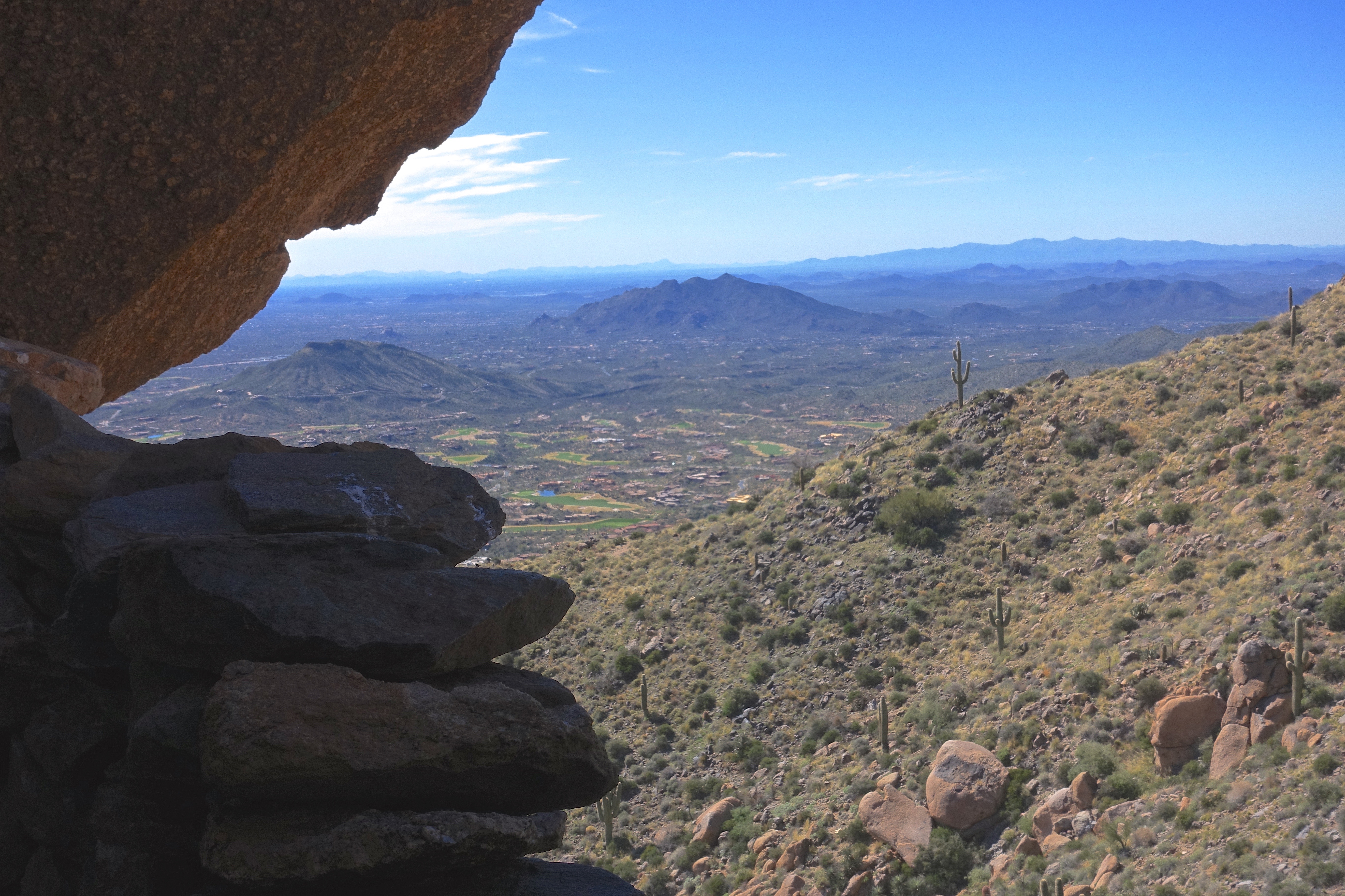
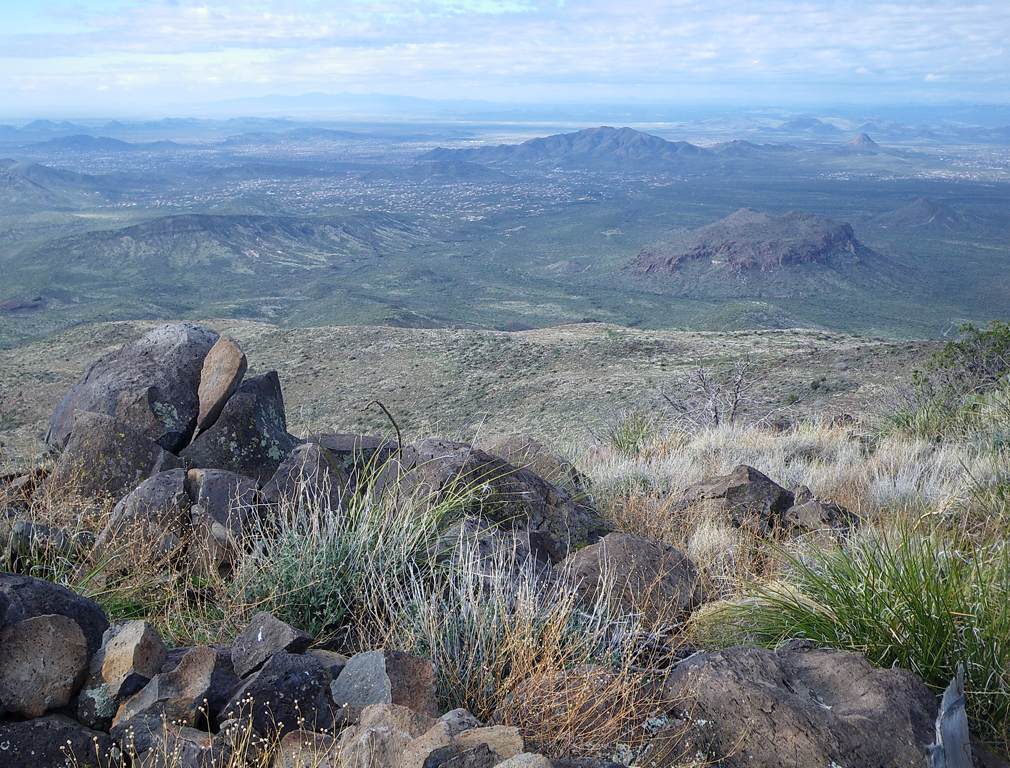
36. The view toward Black Mountain from the Apache Peak boulder fortress ruin

Sunset 4.7.13
Lightning from Cave Creek

Horseshoe Dam at Night
Horseshoe Lake, Arizona

Soooo do not want to leave this spot right now. 6pm flight, better go change in a few mins :S
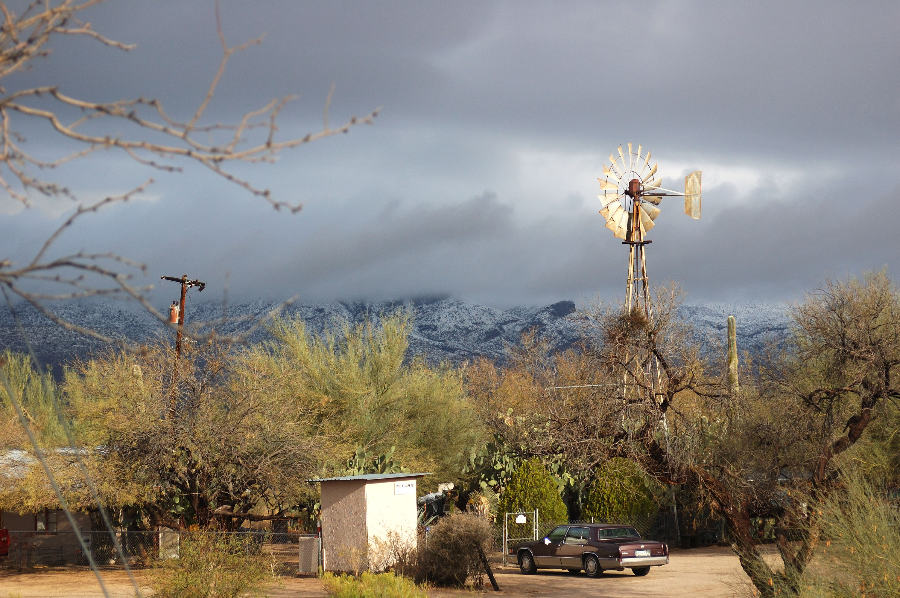
Arizona country scene

The desert landscape

Golf Ball on Renegade

Desert Mountain
Topographic Map of N Seven Springs Rd, Scottsdale, AZ, USA
Find elevation by address:

Places near N Seven Springs Rd, Scottsdale, AZ, USA:
46200 N Seven Springs Rd
46200 N Seven Springs Rd #19
46200 N Seven Springs Rd
Camp Creek
46200 N Seven Springs Rd
11802 E Blue Wash Rd
Tonto Hills
43031 N 111th Pl
42220 N La Plata Rd
42208 N La Plata Rd
42401 N Old Mine Rd
42029 N La Plata Rd #47
North Deer Trail Road
Desert Mountain, Apache Peak
41777 N 111th Pl
42088 N 108th Pl
41212 N 111th St
42725 North 102nd Street
11157 E Mesquite Dr
10992 E Oatman Dr
Recent Searches:
- Elevation of Zimmer Trail, Pennsylvania, USA
- Elevation of 87 Kilmartin Ave, Bristol, CT, USA
- Elevation of Honghe National Nature Reserve, QP95+PJP, Tongjiang, Heilongjiang, Jiamusi, Heilongjiang, China
- Elevation of Hercules Dr, Colorado Springs, CO, USA
- Elevation of Szlak pieszy czarny, Poland
- Elevation of Griffing Blvd, Biscayne Park, FL, USA
- Elevation of Kreuzburger Weg 13, Düsseldorf, Germany
- Elevation of Gateway Blvd SE, Canton, OH, USA
- Elevation of East W.T. Harris Boulevard, E W.T. Harris Blvd, Charlotte, NC, USA
- Elevation of West Sugar Creek, Charlotte, NC, USA