Elevation of N Rd, Sayre, OK, USA
Location: United States > Oklahoma > Beckham County > Sayre >
Longitude: -99.716932
Latitude: 35.3635062
Elevation: 628m / 2060feet
Barometric Pressure: 94KPa
Elevation Map:
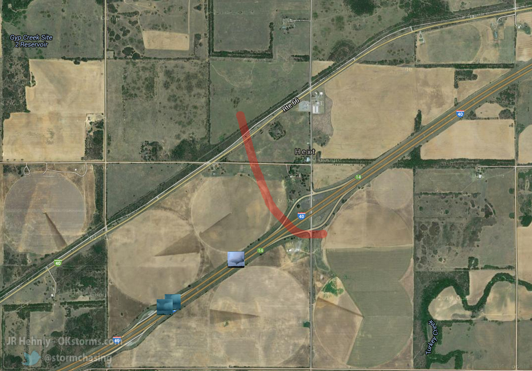
Satellite Map:
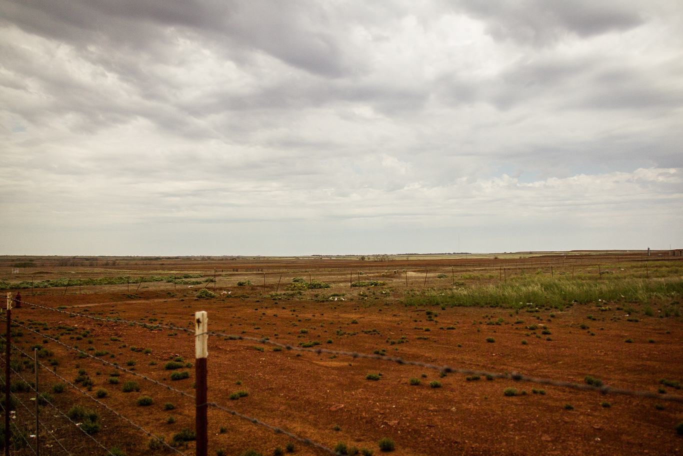
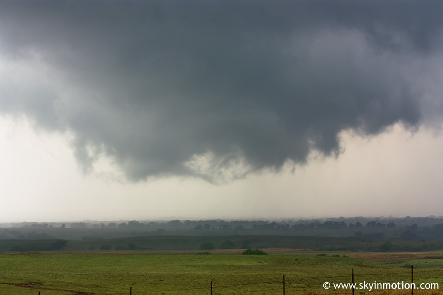
Related Photos:

Road Trip 201209010074

Road Trip 201212050065

Barn - Sayre, OK

Truck_112012_LR-173.jpg
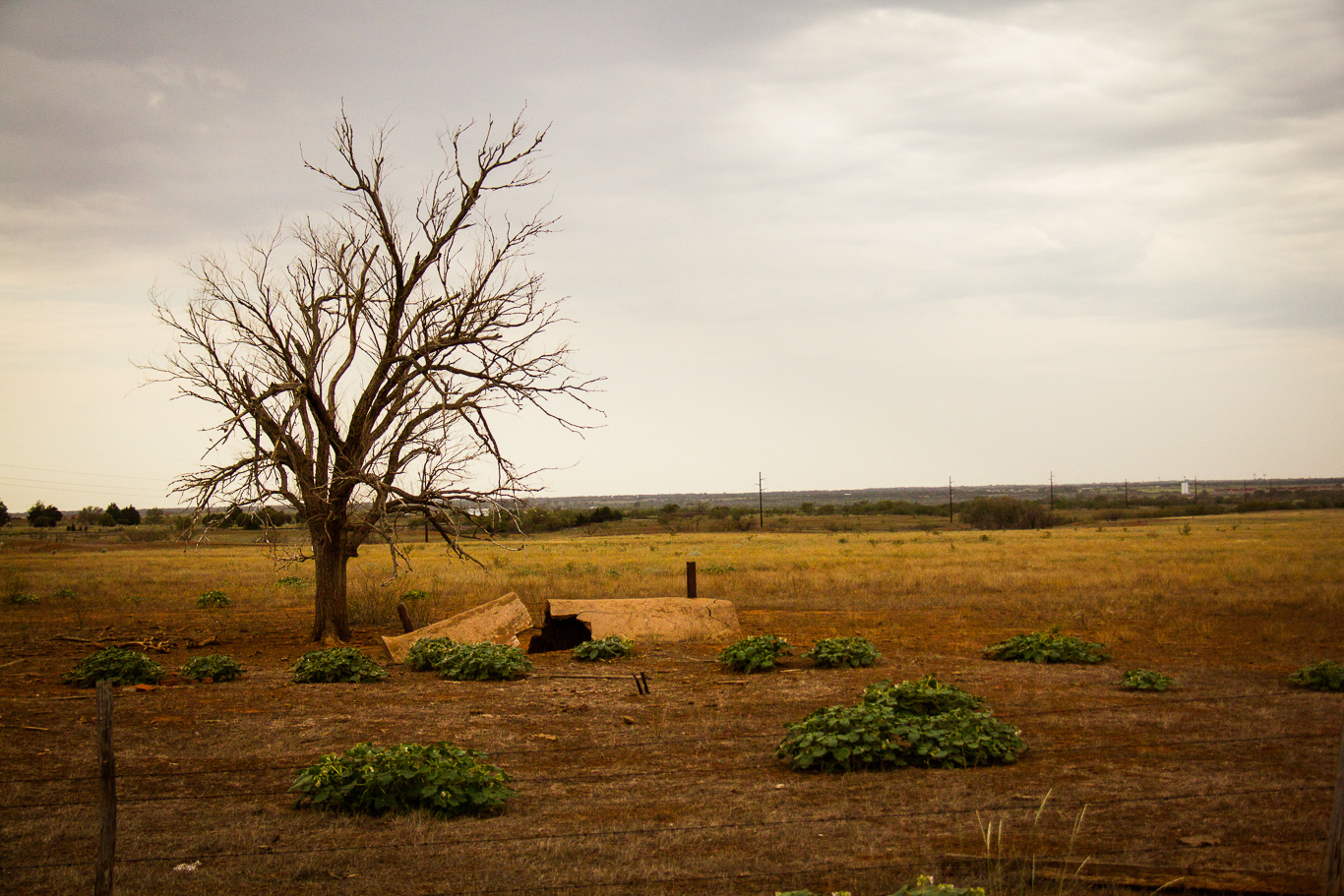
Pipe & tree
l'Oklahoma, c'est riant.
2010-05-12_2840

Wind Power 10
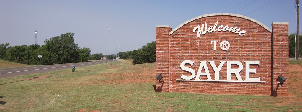
Sayre, Oklahoma
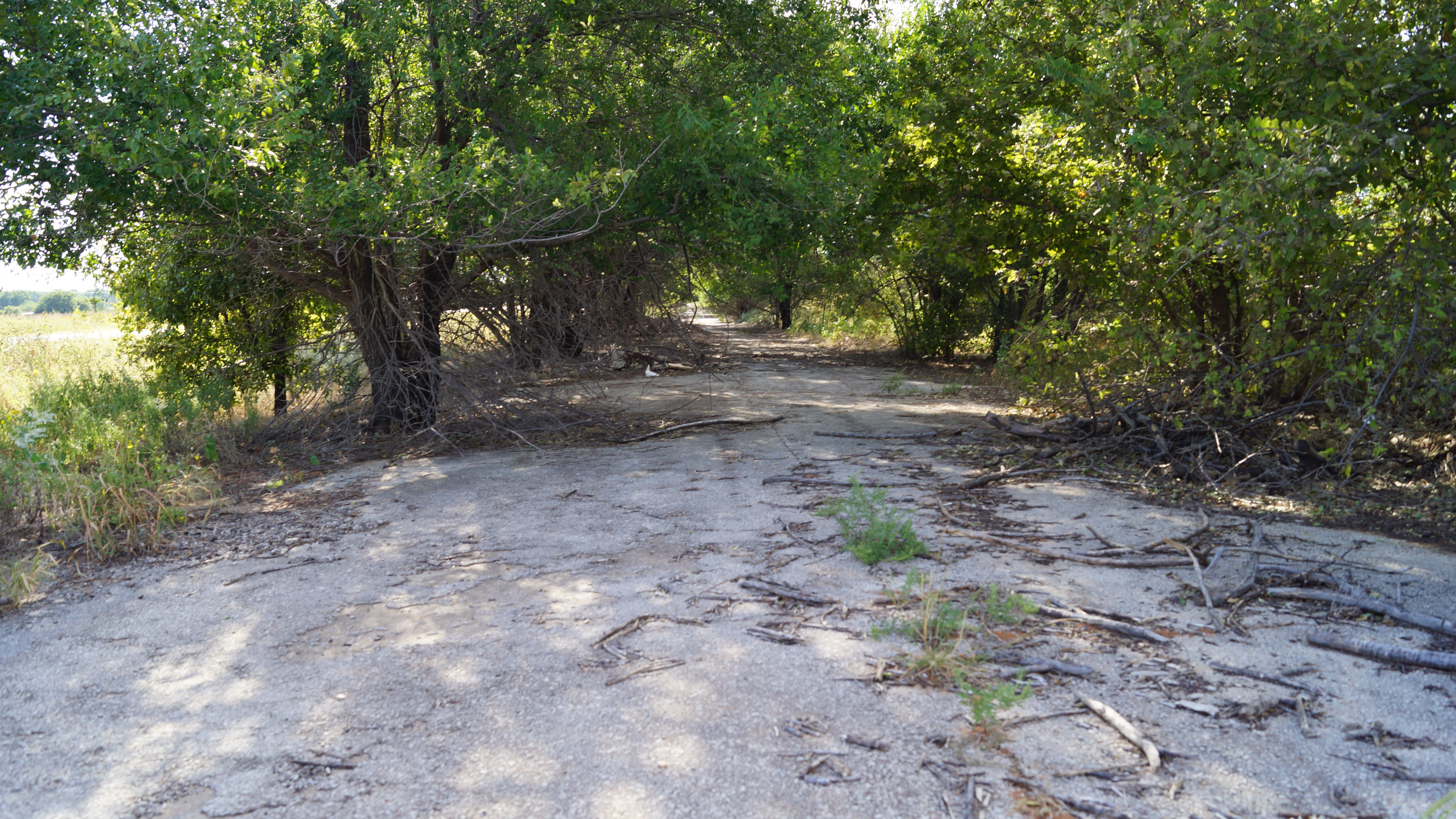
Abandoned Route 66
Topographic Map of N Rd, Sayre, OK, USA
Find elevation by address:

Places near N Rd, Sayre, OK, USA:
Sayre
Beckham County
Cheyenne, OK, USA
Cheyenne
Roger Mills County
1707 W Country Club Blvd
919 W E Ave
Elk City
E 3rd St, Elk City, OK, USA
Cheyenne
Retrop
Canute
OK-44, Foss, OK, USA
Marina Road
Sentinel
Great Western Cattle Trail
N Rd, Clinton, OK, USA
Main St, Bessie, OK, USA
Clinton
N 5th St, Clinton, OK, USA
Recent Searches:
- Elevation of 15th Ave SE, St. Petersburg, FL, USA
- Elevation of Beall Road, Beall Rd, Florida, USA
- Elevation of Leguwa, Nepal
- Elevation of County Rd, Enterprise, AL, USA
- Elevation of Kolchuginsky District, Vladimir Oblast, Russia
- Elevation of Shustino, Vladimir Oblast, Russia
- Elevation of Lampiasi St, Sarasota, FL, USA
- Elevation of Elwyn Dr, Roanoke Rapids, NC, USA
- Elevation of Congressional Dr, Stevensville, MD, USA
- Elevation of Bellview Rd, McLean, VA, USA