Elevation of OK-44, Foss, OK, USA
Location: United States > Oklahoma >
Longitude: -99.170086
Latitude: 35.3485019
Elevation: 578m / 1896feet
Barometric Pressure: 95KPa
Elevation Map:
Satellite Map:
Related Photos:

2005dec22 110

Storm Coming

Anchor Supercell
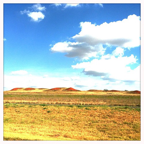
red sands in OK

fading light

Why Hello

Ice Tree
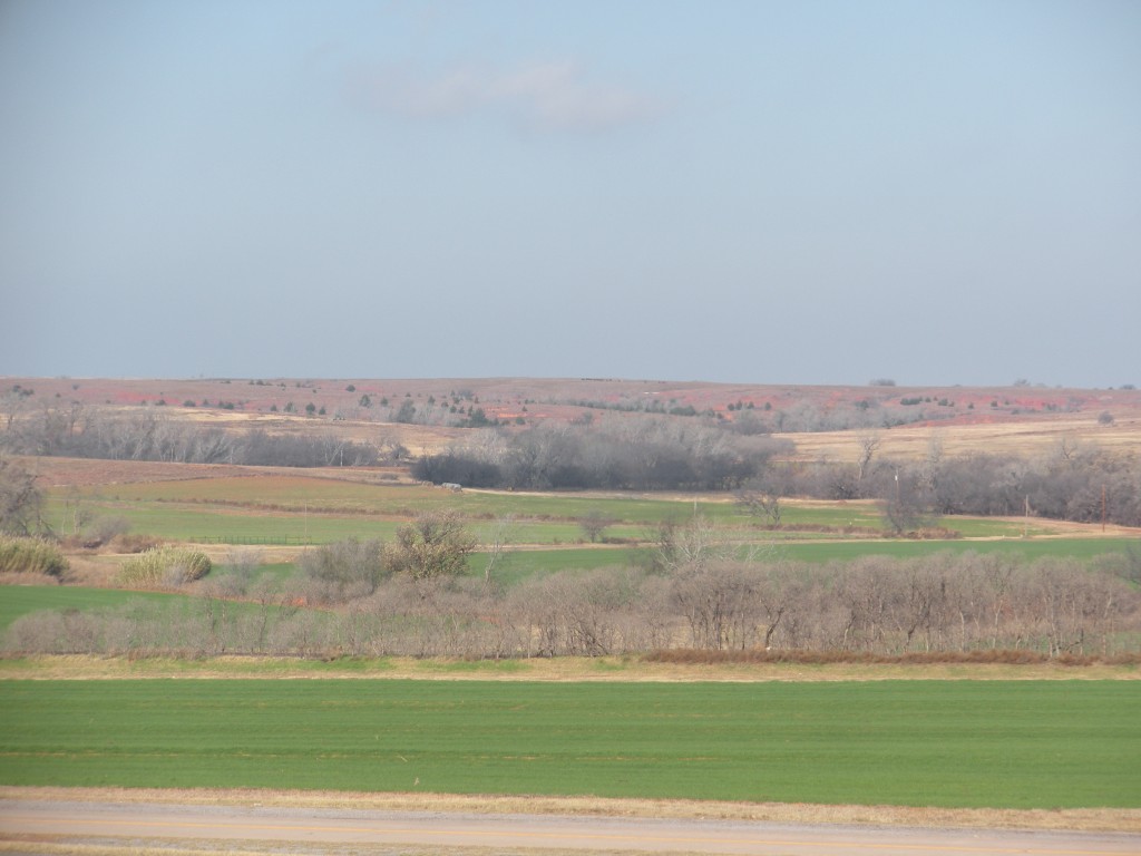
Different colors of land

2011-07-10_Route 66 & California_001
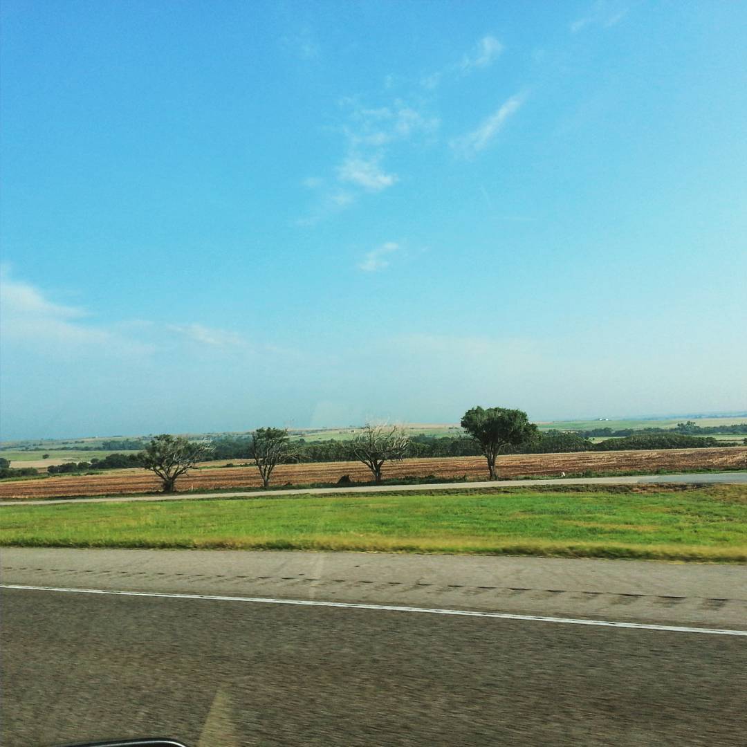
Doesn't get much prettier #wheresannemarie
Topographic Map of OK-44, Foss, OK, USA
Find elevation by address:

Places near OK-44, Foss, OK, USA:
Canute
Main St, Bessie, OK, USA
Marina Road
Sentinel
N Rd, Clinton, OK, USA
E 3rd St, Elk City, OK, USA
Elk City
Washita County
919 W E Ave
Clinton
1707 W Country Club Blvd
Retrop
N 5th St, Clinton, OK, USA
Great Western Cattle Trail
Prairie View Cemetery
Custer County
N Rd, Custer City, OK, USA
Beckham County
Sayre
Weatherford
Recent Searches:
- Elevation of Pykes Down, Ivybridge PL21 0BY, UK
- Elevation of Jalan Senandin, Lutong, Miri, Sarawak, Malaysia
- Elevation of Bilohirs'k
- Elevation of 30 Oak Lawn Dr, Barkhamsted, CT, USA
- Elevation of Luther Road, Luther Rd, Auburn, CA, USA
- Elevation of Unnamed Road, Respublika Severnaya Osetiya — Alaniya, Russia
- Elevation of Verkhny Fiagdon, North Ossetia–Alania Republic, Russia
- Elevation of F. Viola Hiway, San Rafael, Bulacan, Philippines
- Elevation of Herbage Dr, Gulfport, MS, USA
- Elevation of Lilac Cir, Haldimand, ON N3W 2G9, Canada