Elevation of Beckham County, OK, USA
Location: United States > Oklahoma >
Longitude: -99.634135
Latitude: 35.2687266
Elevation: 564m / 1850feet
Barometric Pressure: 95KPa
Elevation Map:
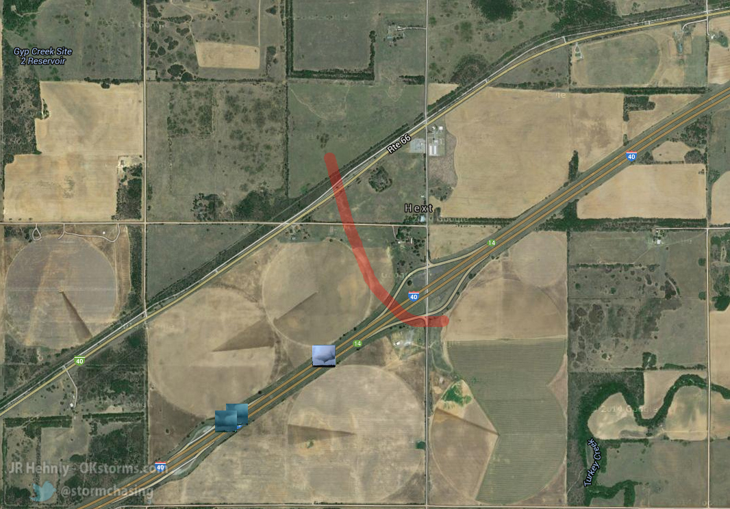
Satellite Map:
Related Photos:

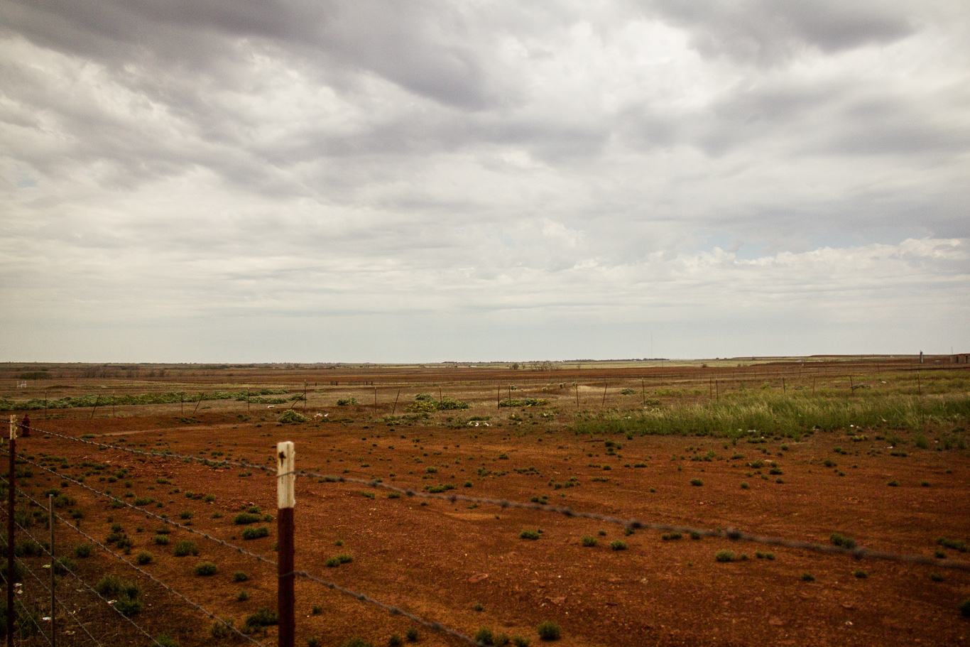
Road Trip 201209010074

Road Trip 201212050065

Barn - Sayre, OK

Truck_112012_LR-173.jpg
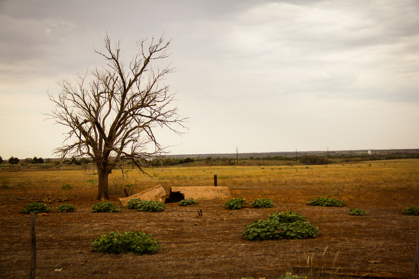
Pipe & tree
l'Oklahoma, c'est riant.
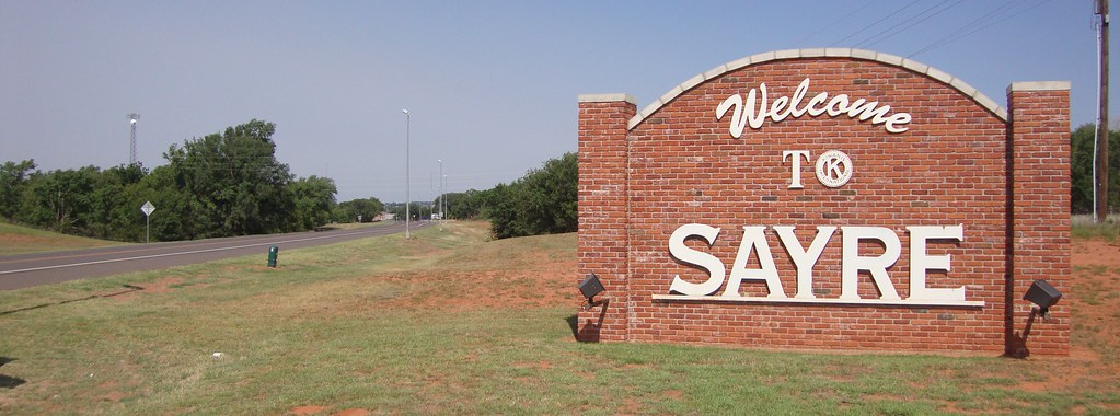
Sayre, Oklahoma
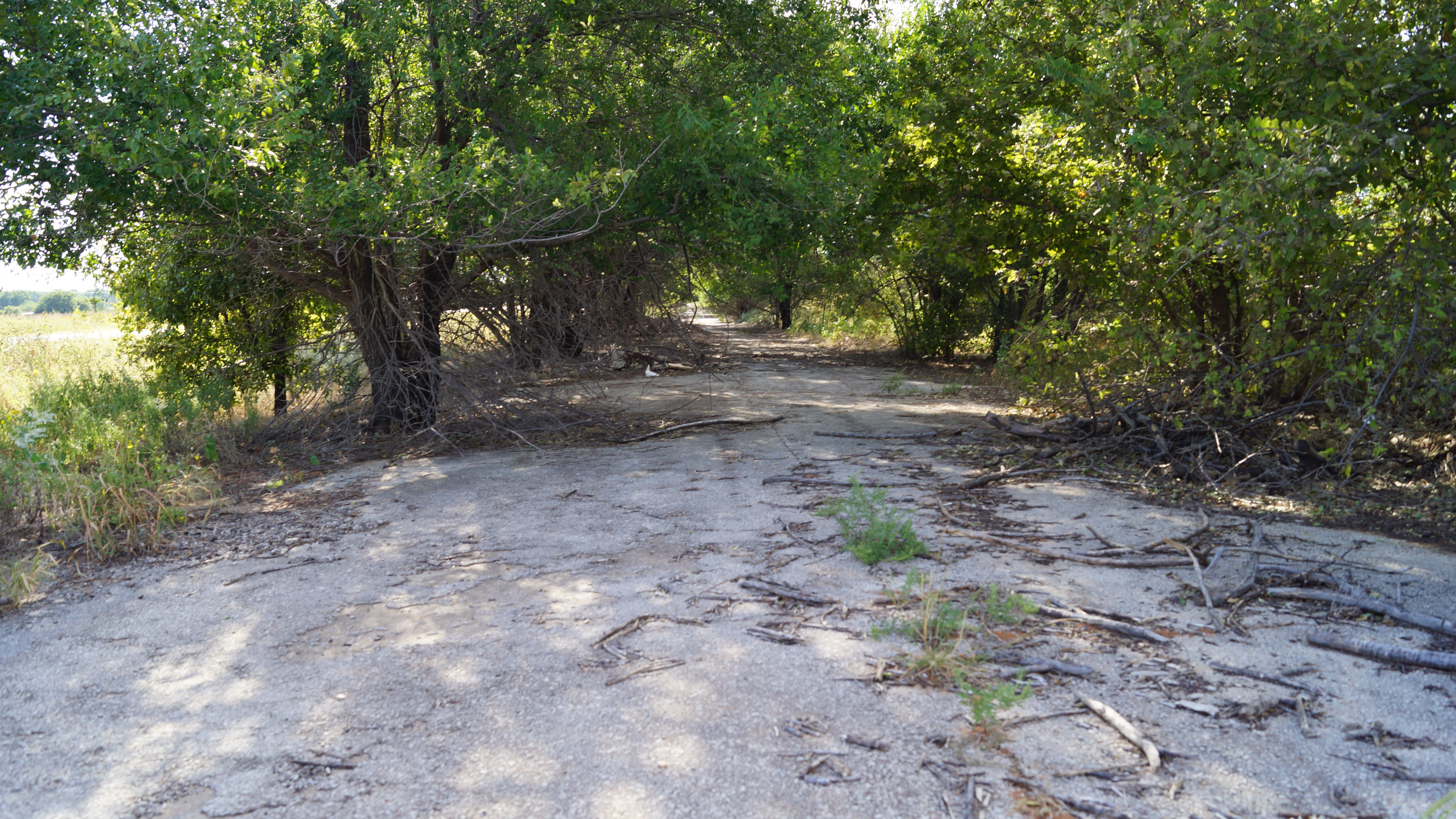
Abandoned Route 66

Oklahoma sunset

Truck_112012_LR-171.jpg
Topographic Map of Beckham County, OK, USA
Find elevation by address:

Places in Beckham County, OK, USA:
Places near Beckham County, OK, USA:
Sayre
N Rd, Sayre, OK, USA
1707 W Country Club Blvd
919 W E Ave
Elk City
E 3rd St, Elk City, OK, USA
Retrop
Cheyenne, OK, USA
Cheyenne
Roger Mills County
Canute
OK-44, Foss, OK, USA
Sentinel
Cheyenne
Marina Road
N Rd, Clinton, OK, USA
Great Western Cattle Trail
Main St, Bessie, OK, USA
Clinton
Washita County
Recent Searches:
- Elevation of Tenjo, Cundinamarca, Colombia
- Elevation of Côte-des-Neiges, Montreal, QC H4A 3J6, Canada
- Elevation of Bobcat Dr, Helena, MT, USA
- Elevation of Zu den Ihlowbergen, Althüttendorf, Germany
- Elevation of Badaber, Peshawar, Khyber Pakhtunkhwa, Pakistan
- Elevation of SE Heron Loop, Lincoln City, OR, USA
- Elevation of Slanický ostrov, 01 Námestovo, Slovakia
- Elevation of Spaceport America, Co Rd A, Truth or Consequences, NM, USA
- Elevation of Warwick, RI, USA
- Elevation of Fern Rd, Whitmore, CA, USA