Elevation of N Rancho Viejo Rd, Fond du Lac, WI, USA
Location: United States > Wisconsin > Fond Du Lac County > Empire >
Longitude: -88.328875
Latitude: 43.738992
Elevation: 329m / 1079feet
Barometric Pressure: 97KPa
Elevation Map:
Satellite Map:
Related Photos:

WC 6002 - 2/4/1996

View from above

Power Hour
Shops Yard
Shops Yard Overview #1
NS 8105 (Interstate)
Broken Knuckle at Byron
Blazing Sunrise
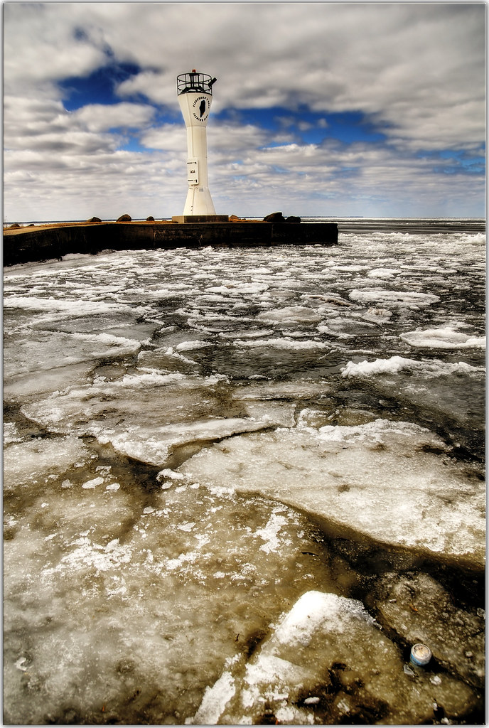
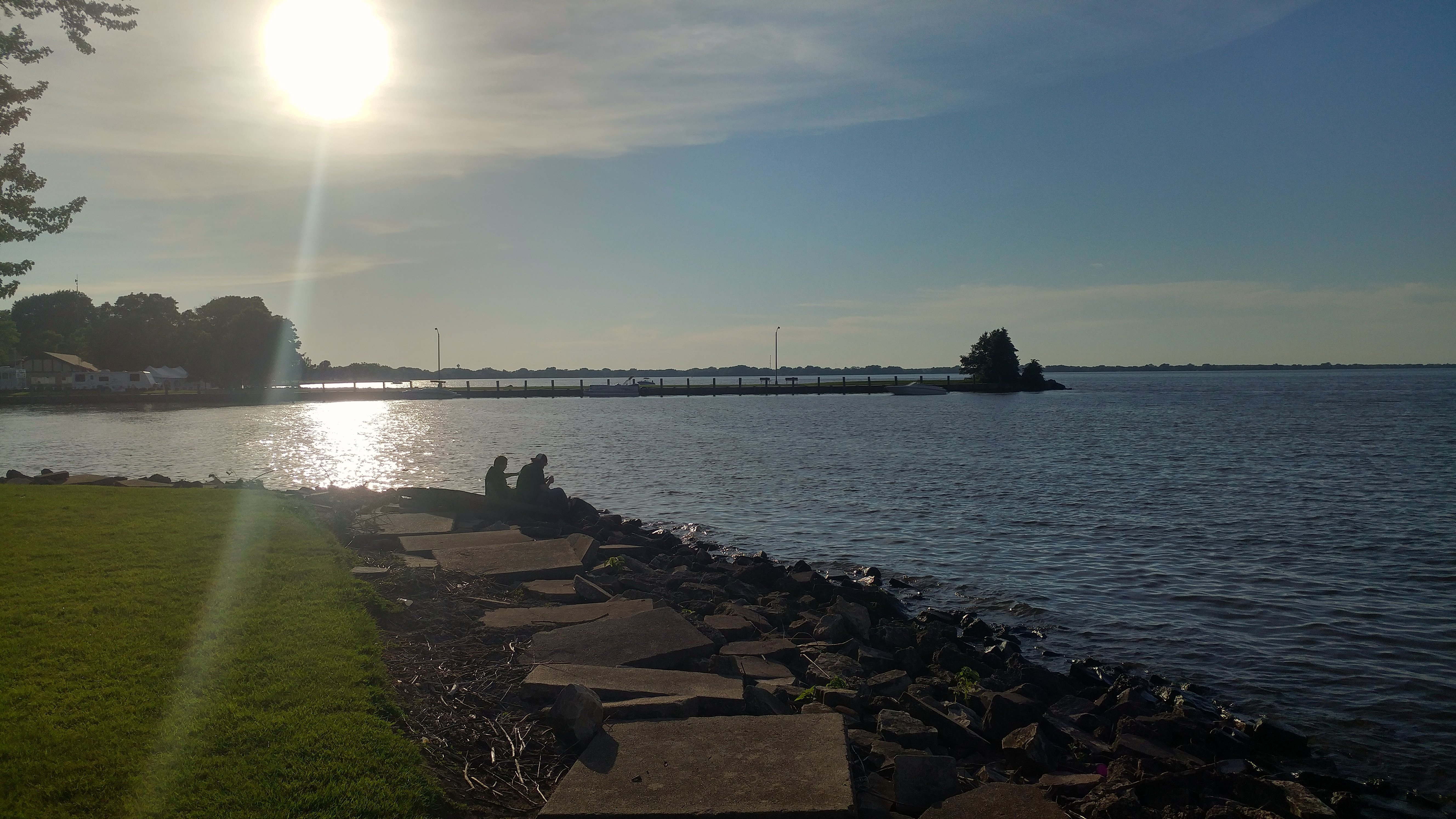
Fisherman's Road Lighthouse 2

Another view of Byron hill

More Than Maroon & Gold
Bridge over the Lake HDR Tone Mapped
wood bridge_1899pmx_tonemapped
side view of white tailer in Eden, Wisconsin; foggy day P2020181
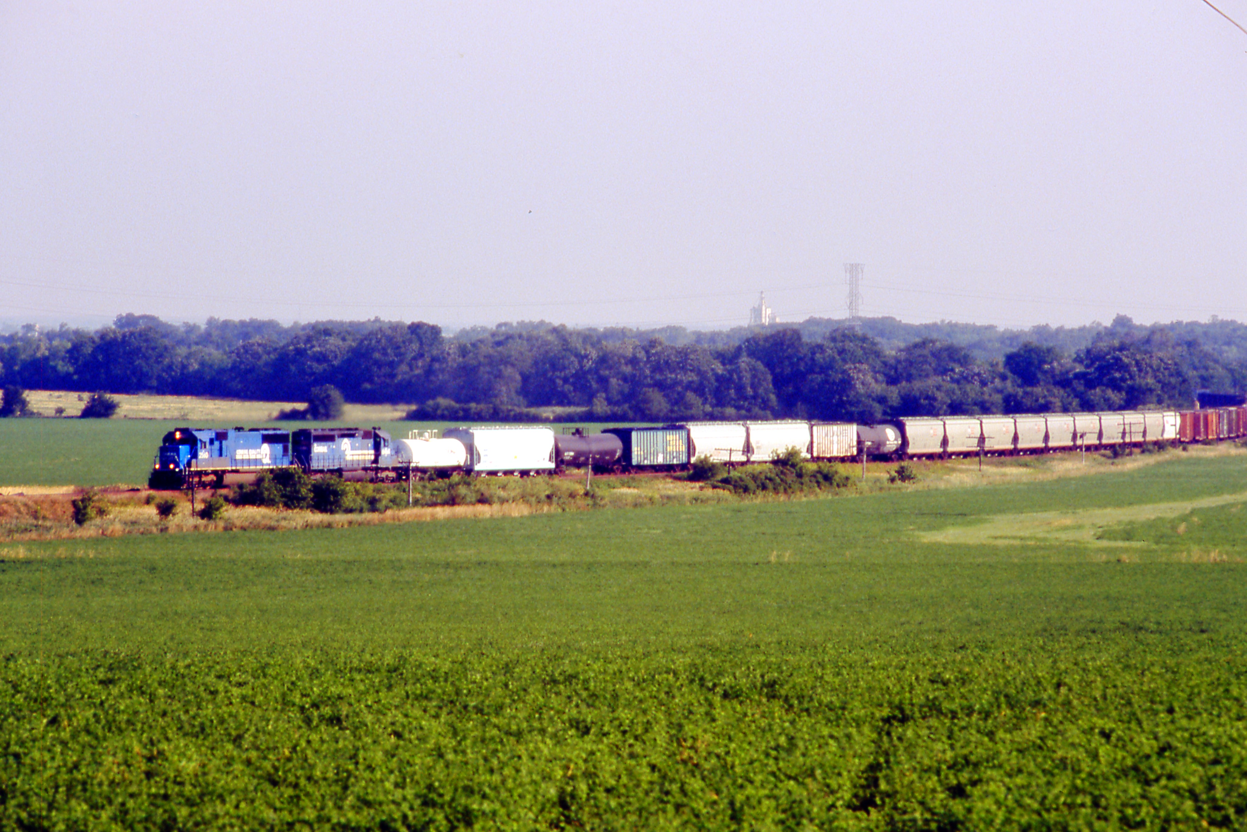
EMDX 6501 on WC - 1/7/1996
WC #6582 North Fon du Lac, Wisconsin
CN 5425--A446
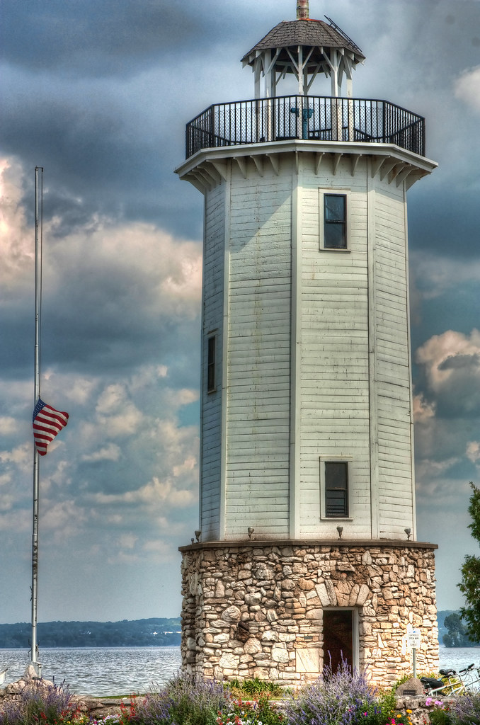
lighthouse_1869pmx flag half-mast

August sunrise
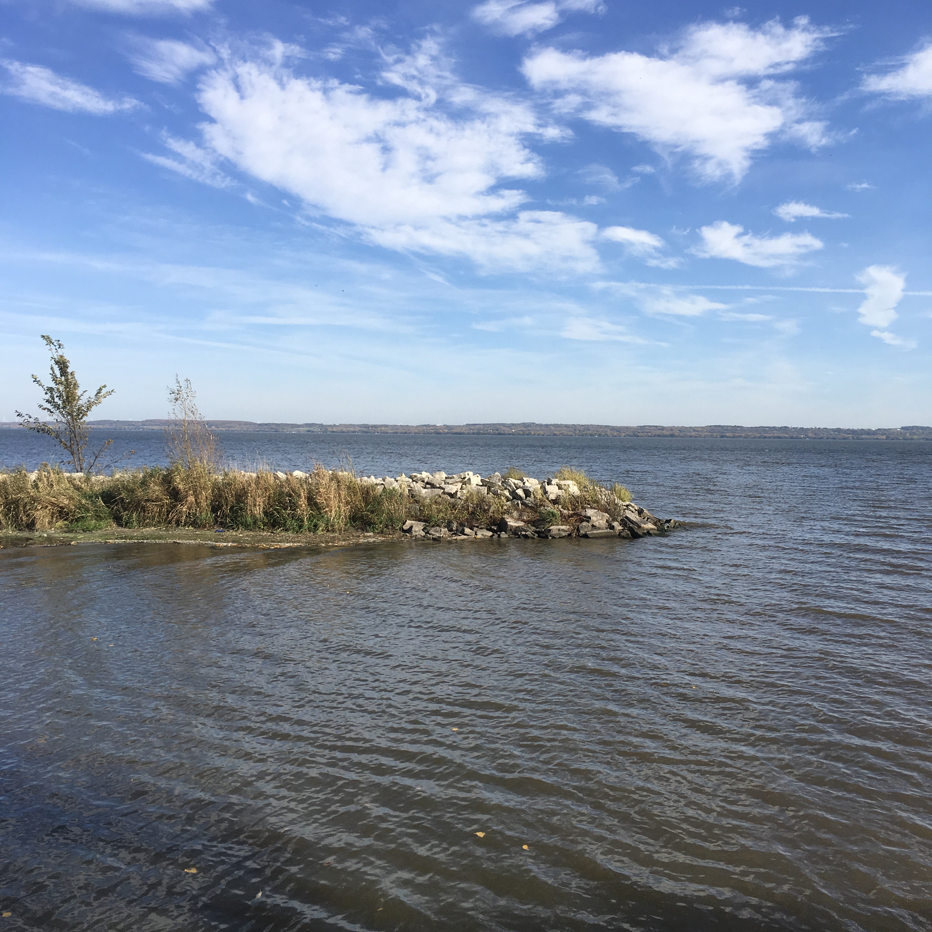
Lake Winnebago

Ledgeview Springs

CN M341

Blue Skies

Odd Couple Comin' Down Byron

What's This?
Highway 45 Wayside

Zebra Twins
Mullet Creek Wildlife Area

Tree and Sky
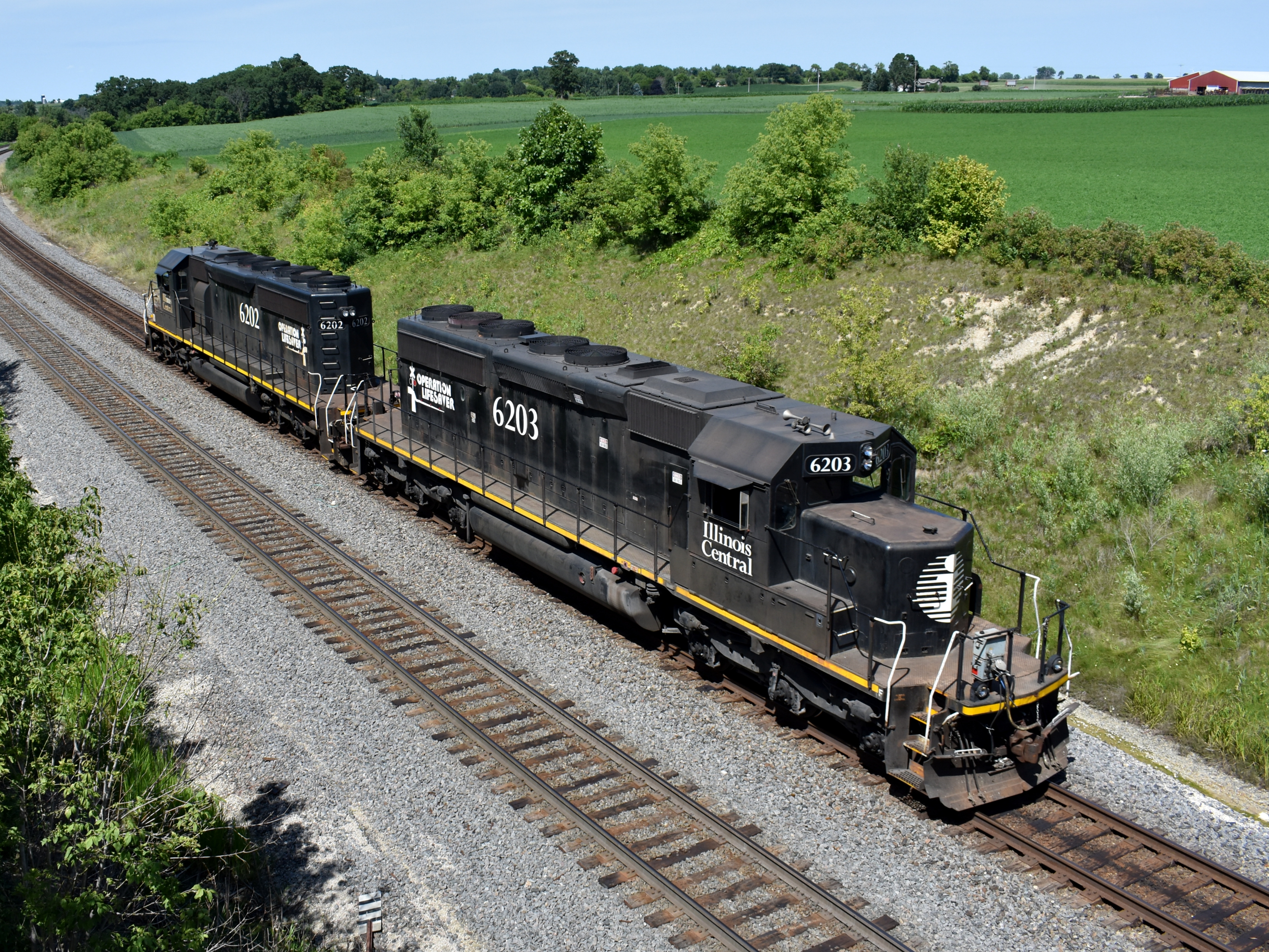
Canadian National

I Spy...

Over the hill

CN Northbound
I lost my can of Coke

CN 4100 & 4711 | CN L508
Heading Home
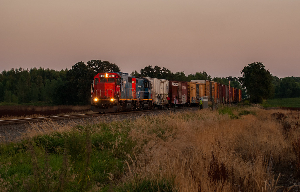
Rolling Out of Fond du lac
Highway 45 Wayside
Tree!
summertime...

What Became Of Us
Topographic Map of N Rancho Viejo Rd, Fond du Lac, WI, USA
Find elevation by address:

Places near N Rancho Viejo Rd, Fond du Lac, WI, USA:
Empire
Walnut Road
Eden
Eden
855 Estate Dr
Fond Du Lac County
1077 Danbury Ave
East Pioneer Road
963 Buttermilk Creek Dr
W4708 Branch Rd
816 Sterling Dr
US-45, Campbellsport, WI, USA
Fanna Street
186 W 12th St
1479 S Hickory St
Byron
N3069
Hobb's Woods
Elm St, Campbellsport, WI, USA
Byron
Recent Searches:
- Elevation of Elwyn Dr, Roanoke Rapids, NC, USA
- Elevation of Congressional Dr, Stevensville, MD, USA
- Elevation of Bellview Rd, McLean, VA, USA
- Elevation of Stage Island Rd, Chatham, MA, USA
- Elevation of Shibuya Scramble Crossing, 21 Udagawacho, Shibuya City, Tokyo -, Japan
- Elevation of Jadagoniai, Kaunas District Municipality, Lithuania
- Elevation of Pagonija rock, Kranto 7-oji g. 8"N, Kaunas, Lithuania
- Elevation of Co Rd 87, Jamestown, CO, USA
- Elevation of Tenjo, Cundinamarca, Colombia
- Elevation of Côte-des-Neiges, Montreal, QC H4A 3J6, Canada