Elevation of Eden, WI, USA
Location: United States > Wisconsin > Fond Du Lac County >
Longitude: -88.304490
Latitude: 43.6825482
Elevation: 316m / 1037feet
Barometric Pressure: 98KPa
Elevation Map:
Satellite Map:
Related Photos:

A Baldwin Beauty

WC 6002 - 2/4/1996

Mauthe Lake

Niagara Escarpment

CN 5688 - 9/8/2010

Another view of Byron hill

View from above

Blazing Sunrise

NS 8105 (Interstate)

NS 8436 on CN - 1/30/2011

Ice Age Trail

Pleasant View Dairy Farm - Dundee, Wisconsin

CTH F

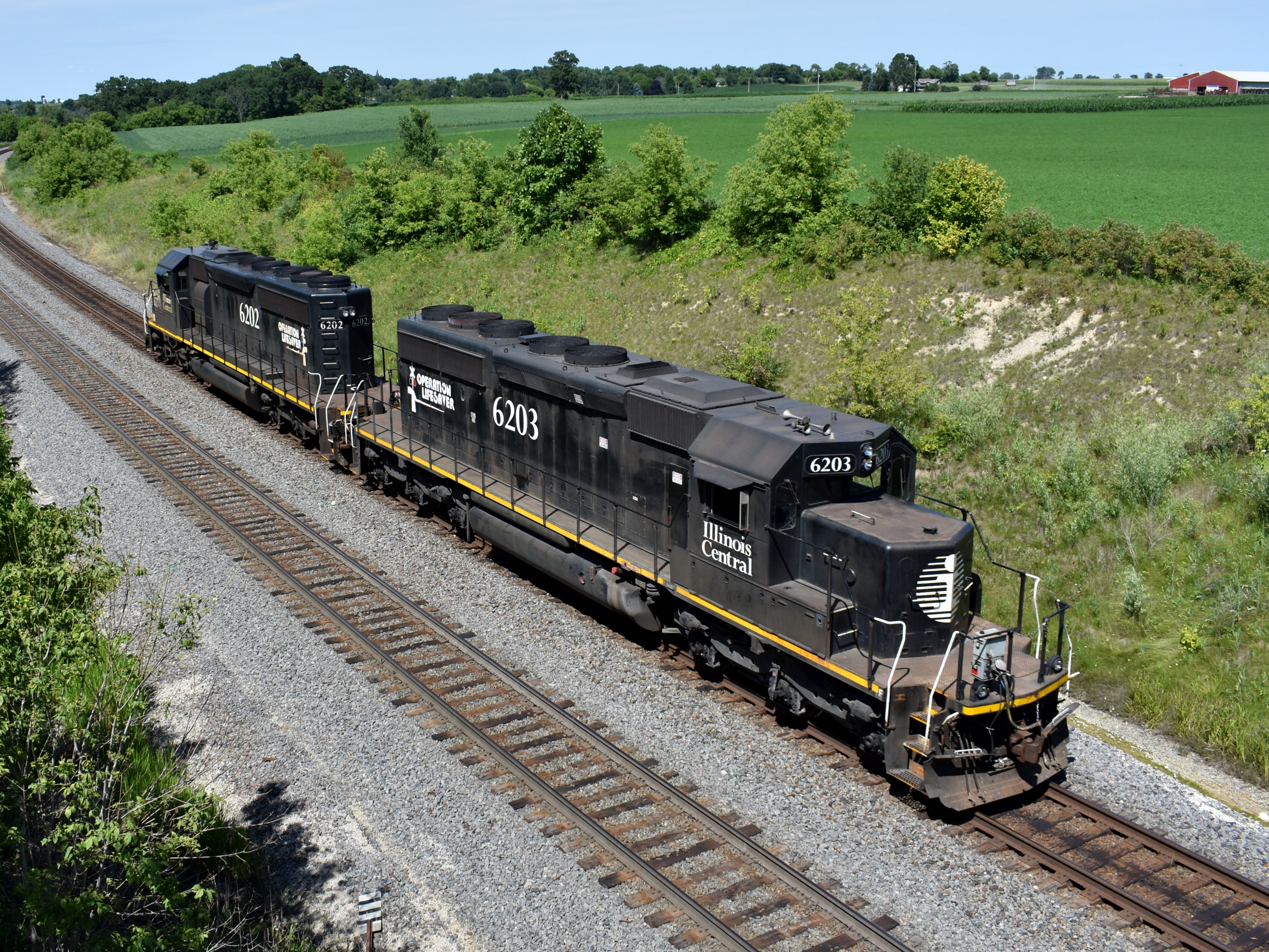
"El Repus"

Broken Knuckle at Byron

Mauthe Lake View

#icecream #viewing #restrooms #sign #outofcontext #unintentionallyfunny #humor #lynnfriedman

Lake Winnebago

August sunrise

Ledgeview Springs

View out the window of the cabin. #wisconsin #snow #cabin

CN 3000 - 9/9/2015

Ice Age Trail

Kettle Moraine State Forest - Mauthe Lake #1

RENTIT, memorable in a way that RENT IT is not. Because of TIT.

Sunset Spotlight

Brian and His Ladies

06-01-2012 Ride - Rustic Road R82

They're back

I Spy...

Over the hill
Heading Home

Tamarack Trail 270/365

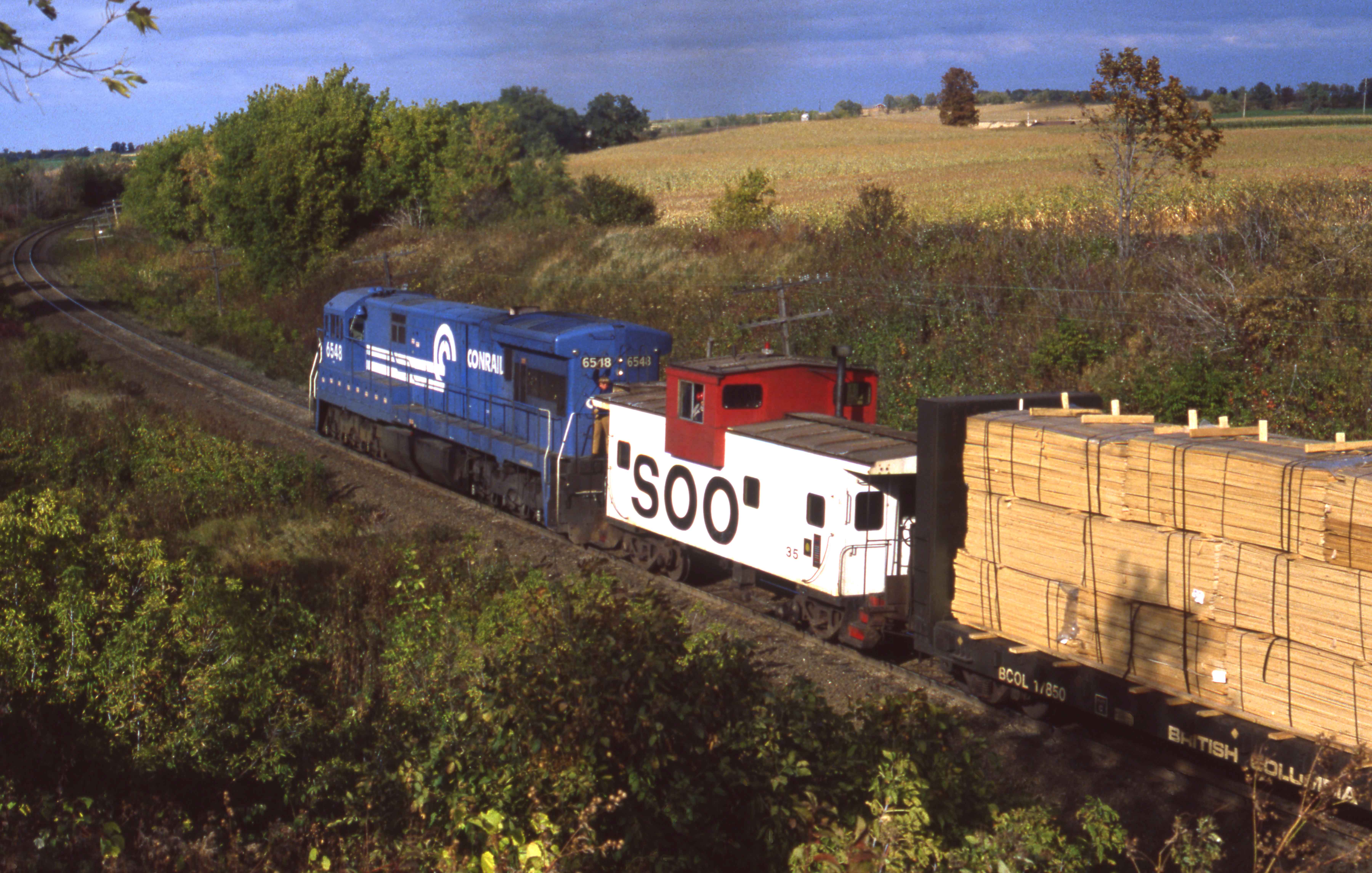
Odd Couple Comin' Down Byron

Land of cows, cheese, and beer-farts

Look At Me

Brief morning light
What's This?

No explanation needed

Zebra Twins

"Glinty Tunnel Motors"
Topographic Map of Eden, WI, USA
Find elevation by address:

Places in Eden, WI, USA:
Places near Eden, WI, USA:
US-45, Campbellsport, WI, USA
Eden
Fond Du Lac County
N5453 Rancho Viejo Rd
Walnut Road
Empire
Elm St, Campbellsport, WI, USA
Campbellsport
W4708 Branch Rd
855 Estate Dr
1077 Danbury Ave
East Pioneer Road
963 Buttermilk Creek Dr
N3069
Byron
816 Sterling Dr
Byron
Fanna Street
Hobb's Woods
186 W 12th St
Recent Searches:
- Elevation of Elwyn Dr, Roanoke Rapids, NC, USA
- Elevation of Congressional Dr, Stevensville, MD, USA
- Elevation of Bellview Rd, McLean, VA, USA
- Elevation of Stage Island Rd, Chatham, MA, USA
- Elevation of Shibuya Scramble Crossing, 21 Udagawacho, Shibuya City, Tokyo -, Japan
- Elevation of Jadagoniai, Kaunas District Municipality, Lithuania
- Elevation of Pagonija rock, Kranto 7-oji g. 8"N, Kaunas, Lithuania
- Elevation of Co Rd 87, Jamestown, CO, USA
- Elevation of Tenjo, Cundinamarca, Colombia
- Elevation of Côte-des-Neiges, Montreal, QC H4A 3J6, Canada