Elevation of Byron, WI, USA
Location: United States > Wisconsin > Fond Du Lac County >
Longitude: -88.459767
Latitude: 43.6847388
Elevation: 290m / 951feet
Barometric Pressure: 98KPa
Elevation Map:
Satellite Map:
Related Photos:
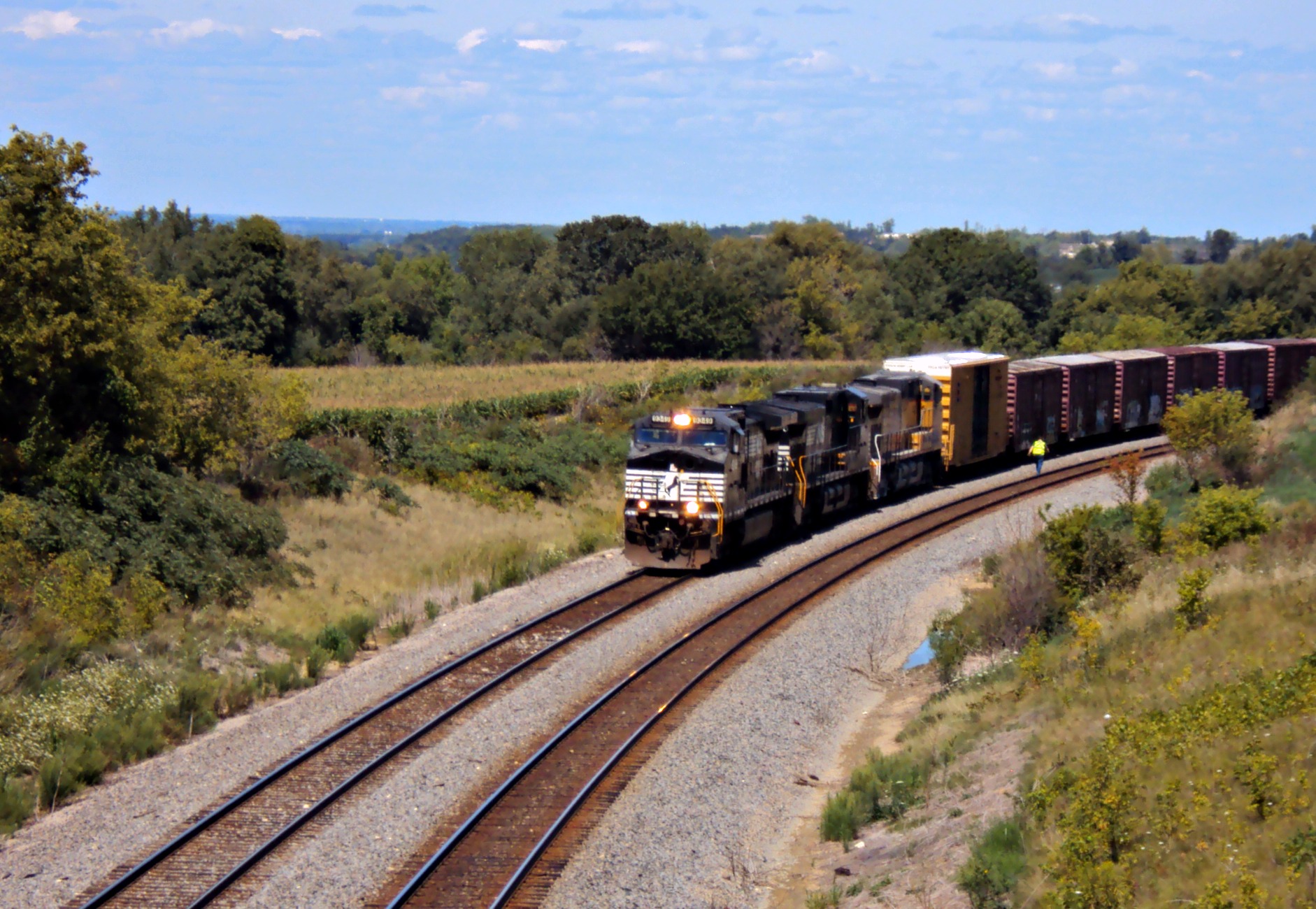
NS 8436 on CN - 1/30/2011
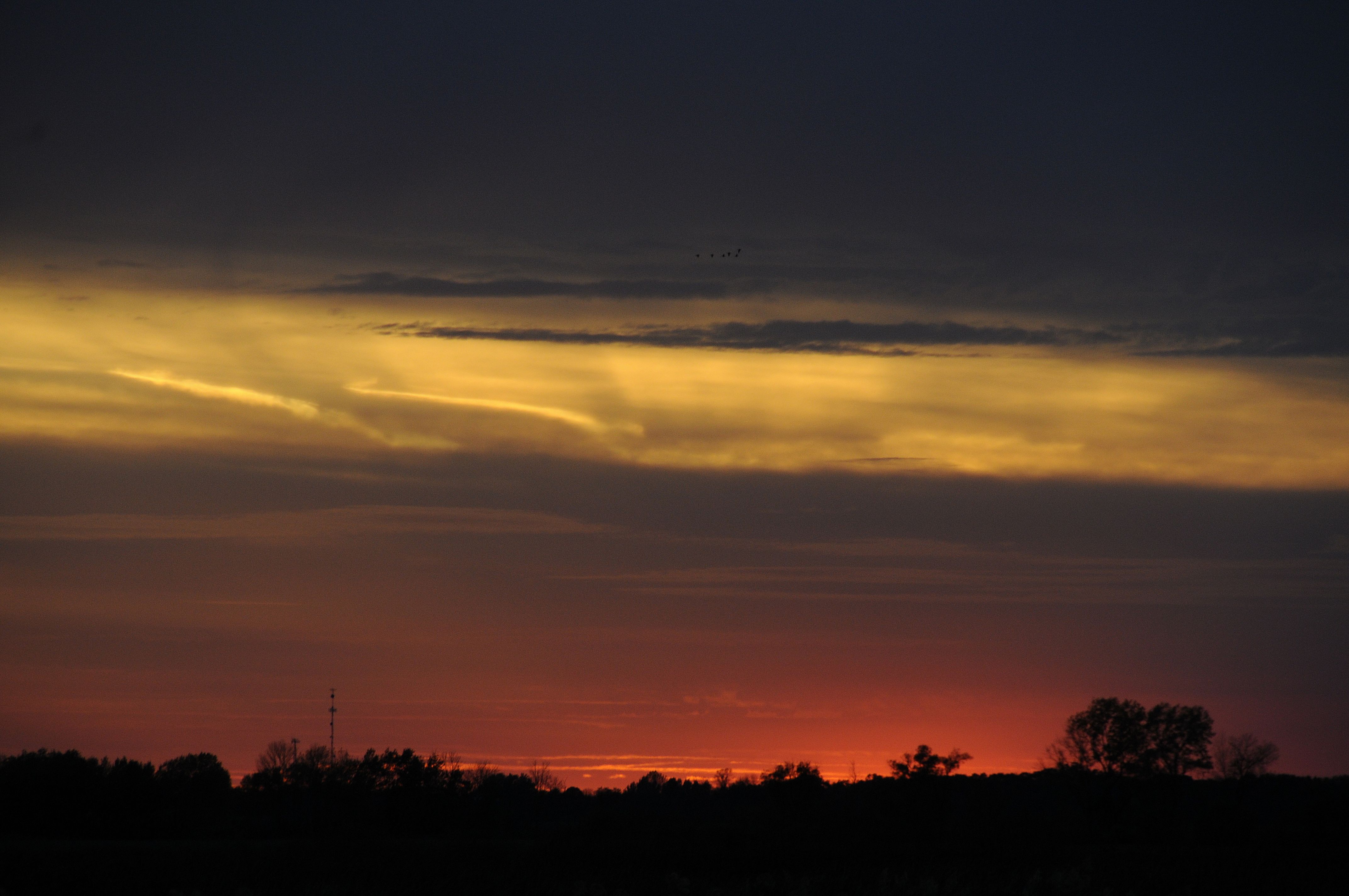
Blazing Sunrise
Summer Impressions 4
side view of white tailer in Eden, Wisconsin; foggy day P2020181
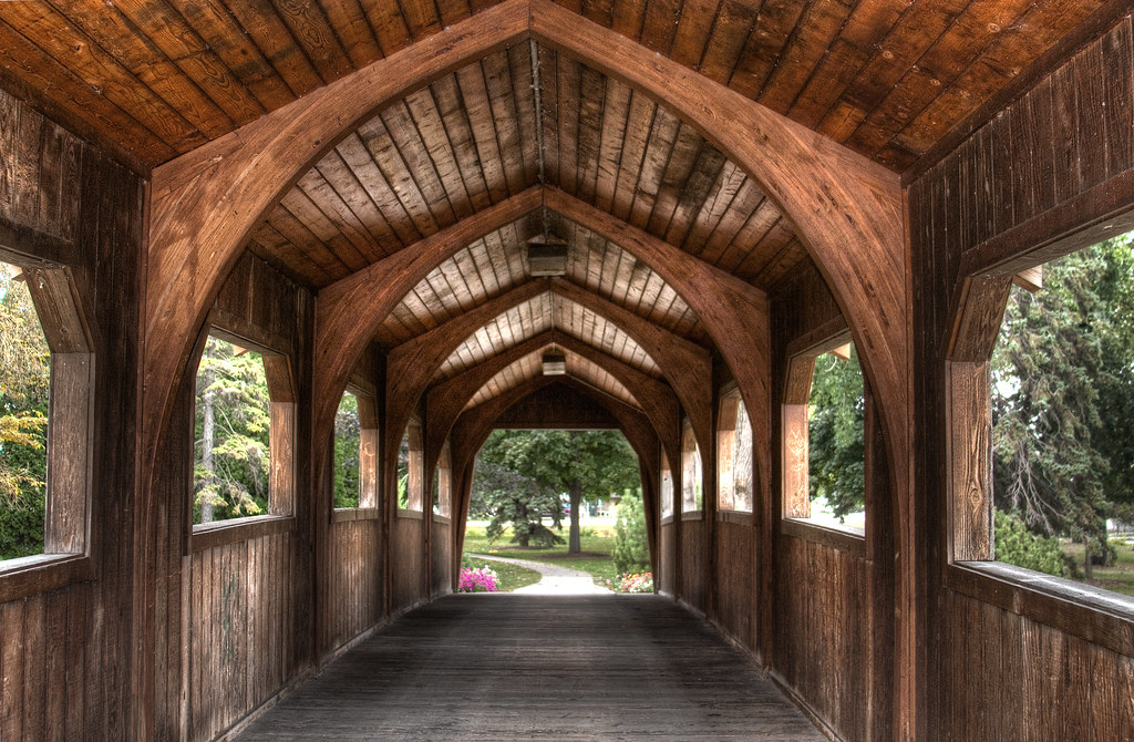
wood bridge_1899pmx_tonemapped
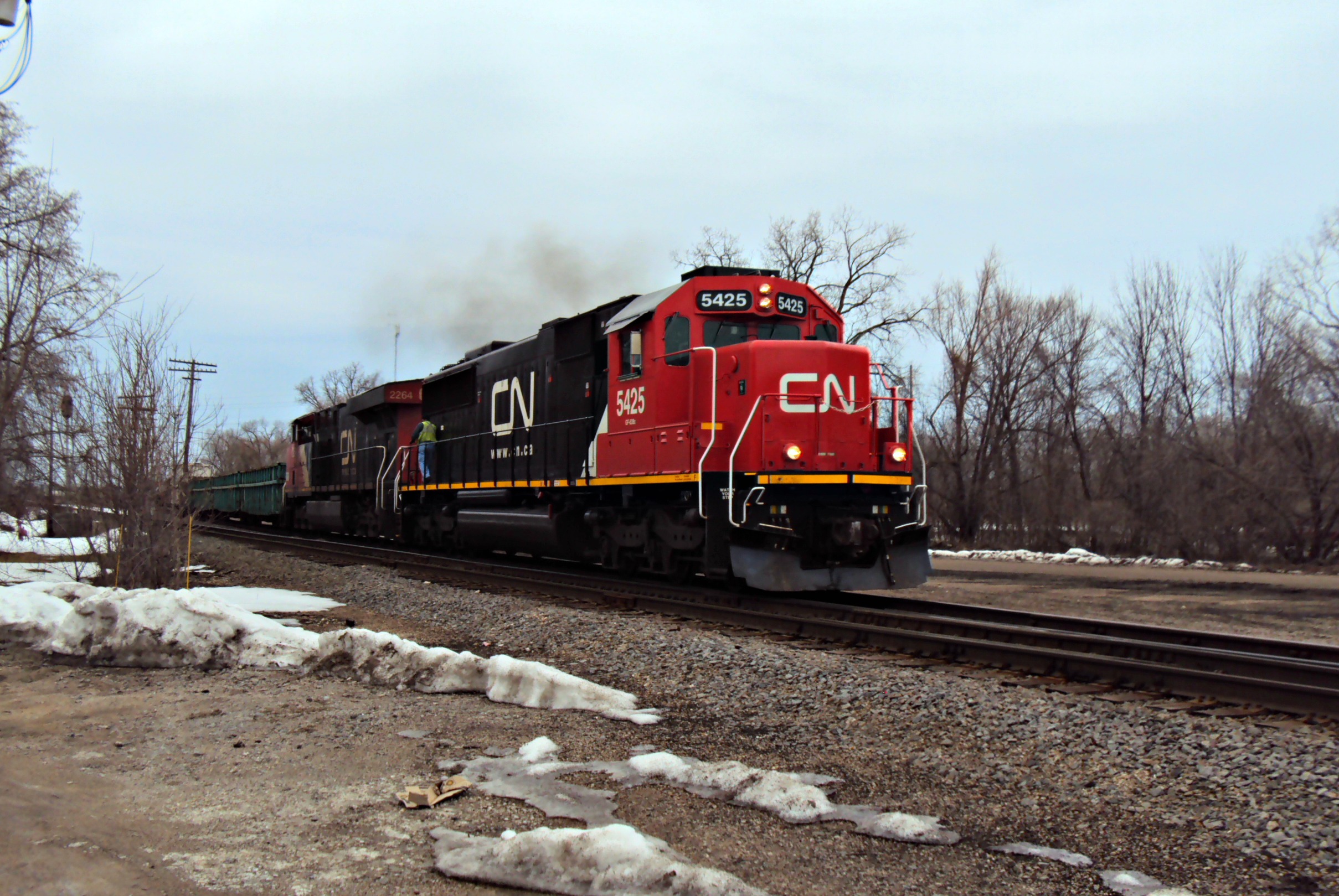
CN 5425--A446
Broken Knuckle at Byron
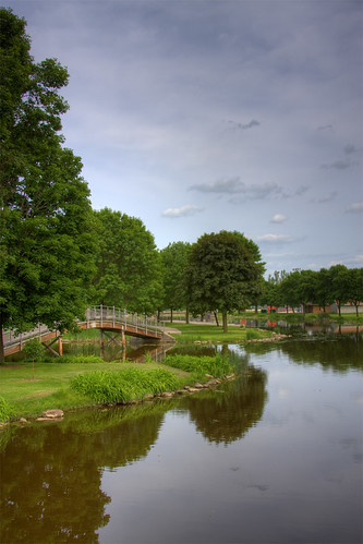
Bridge over the Lake HDR Tone Mapped

Lighthouse in Fall
CTH F
A Bird's View

August sunrise
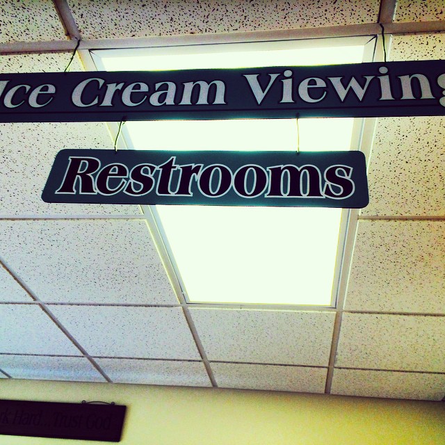
#icecream #viewing #restrooms #sign #outofcontext #unintentionallyfunny #humor #lynnfriedman
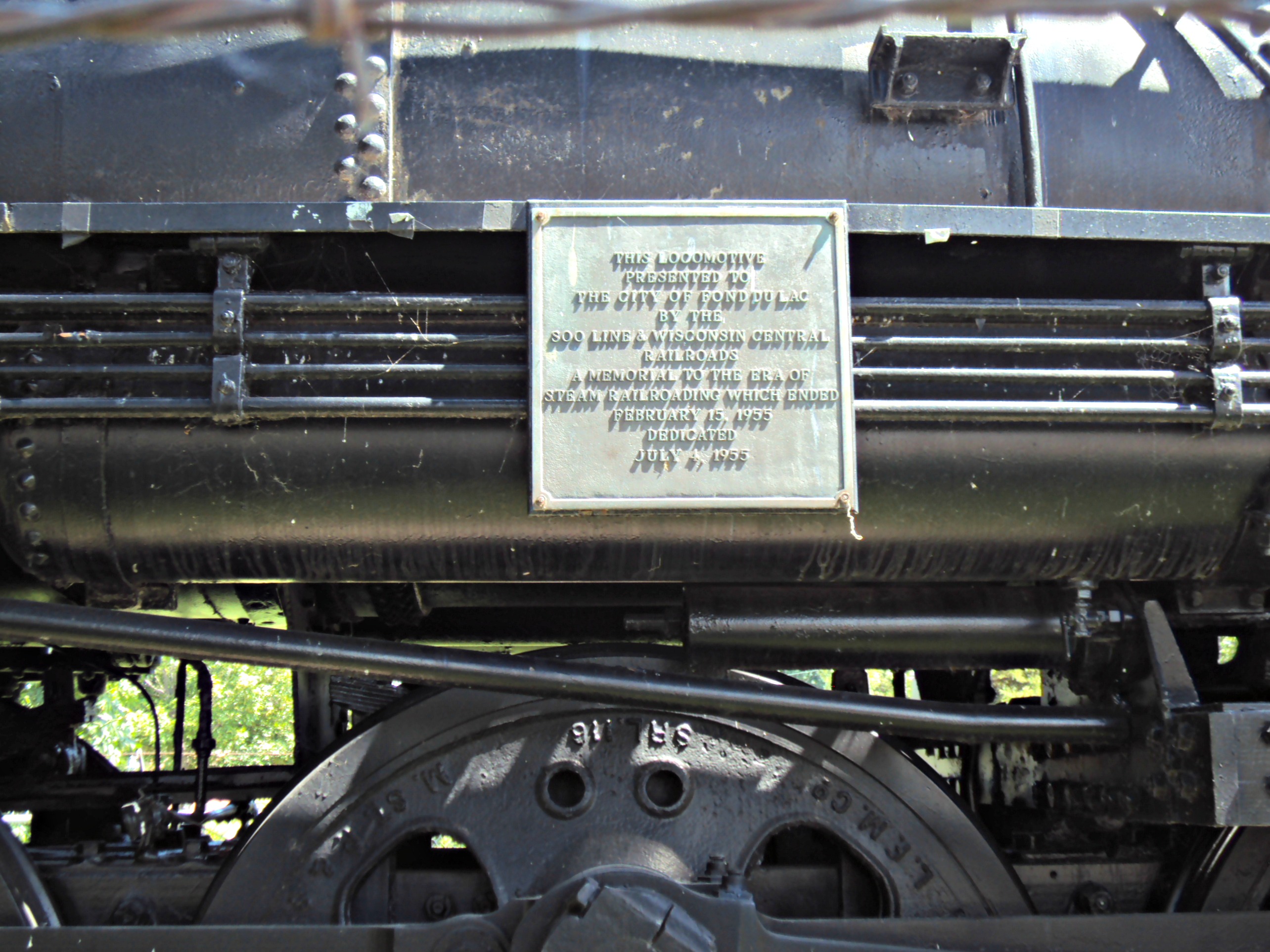
SOO 2714 (Dedication Plaque)

The View
ledge park

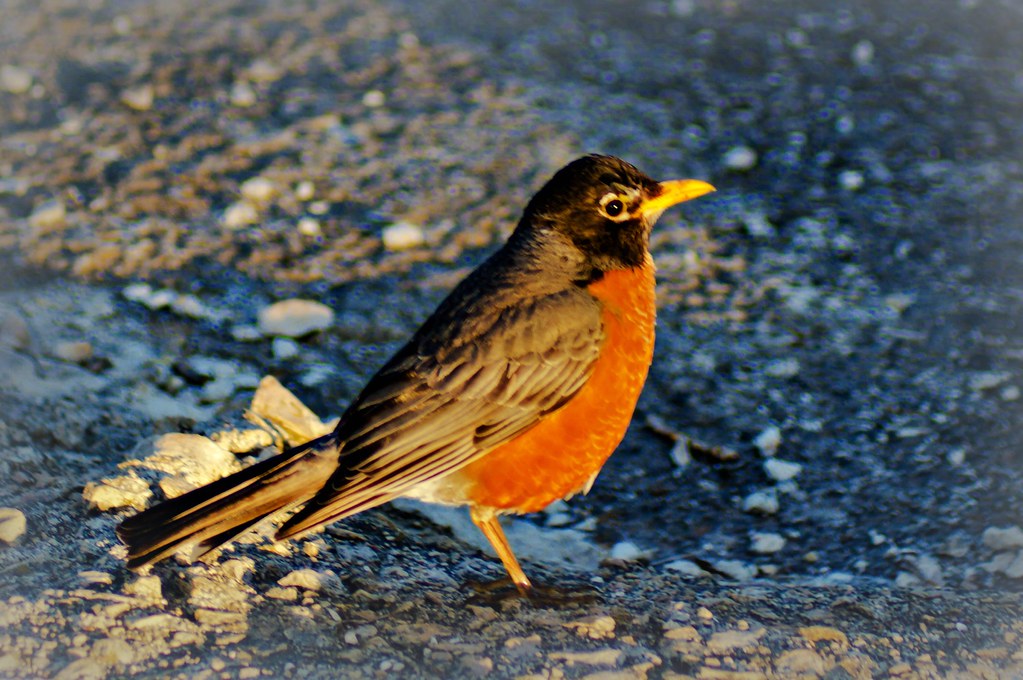
Common Gallinule
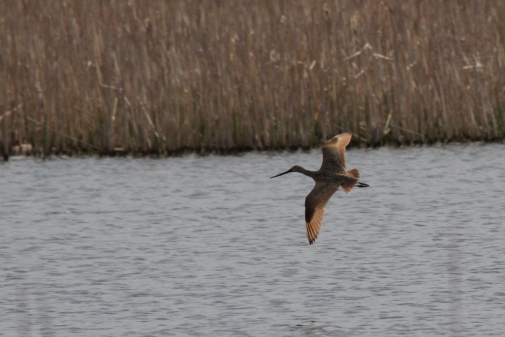
Marbled Godwit in flight
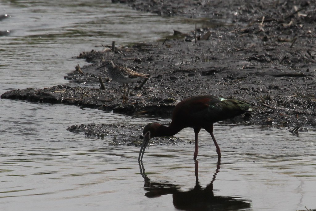
White-faced Ibis
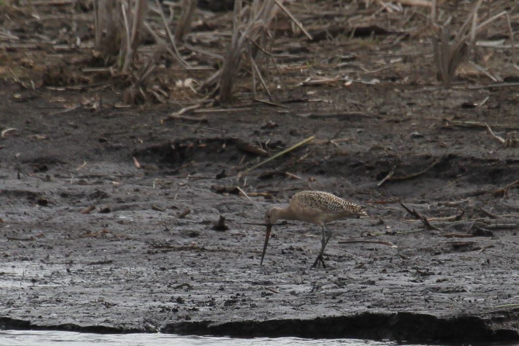
Marbled Godwit
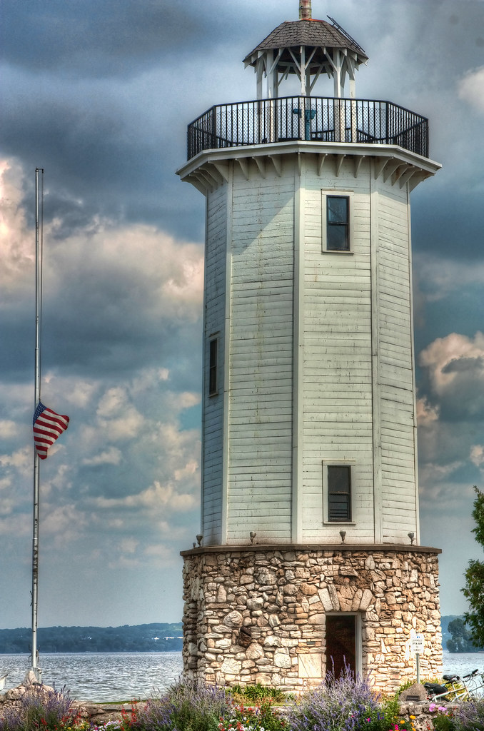
lighthouse_1869pmx flag half-mast
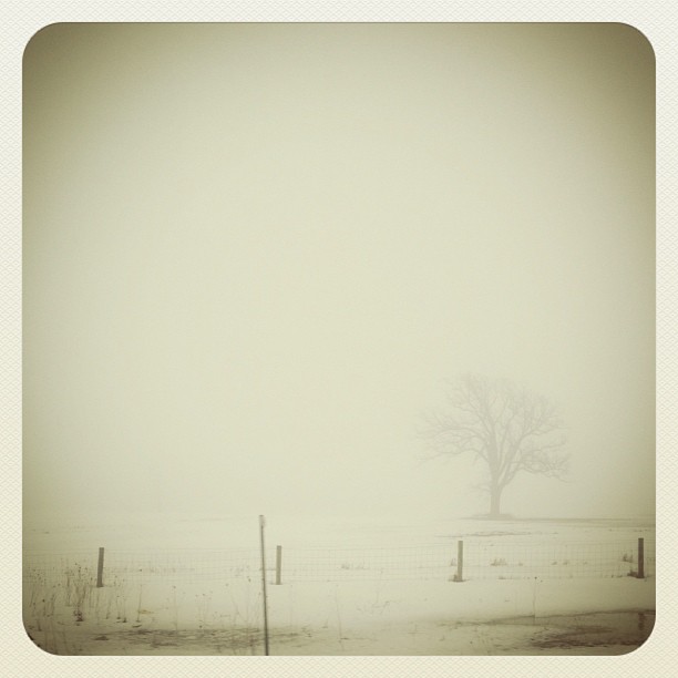
#fog #wisconsn #landscape #monochrome
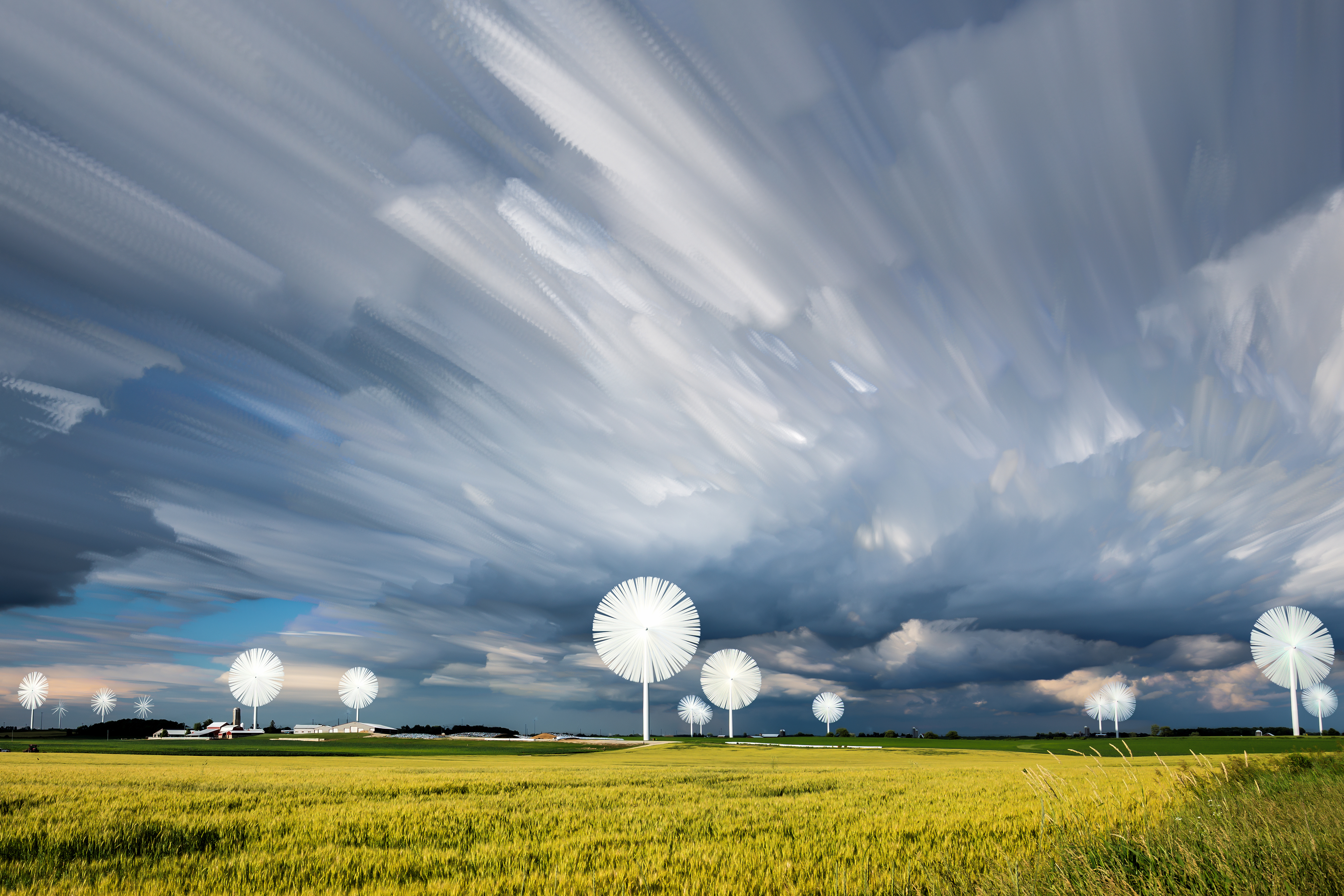
Farmersville Timestack

Brief morning light
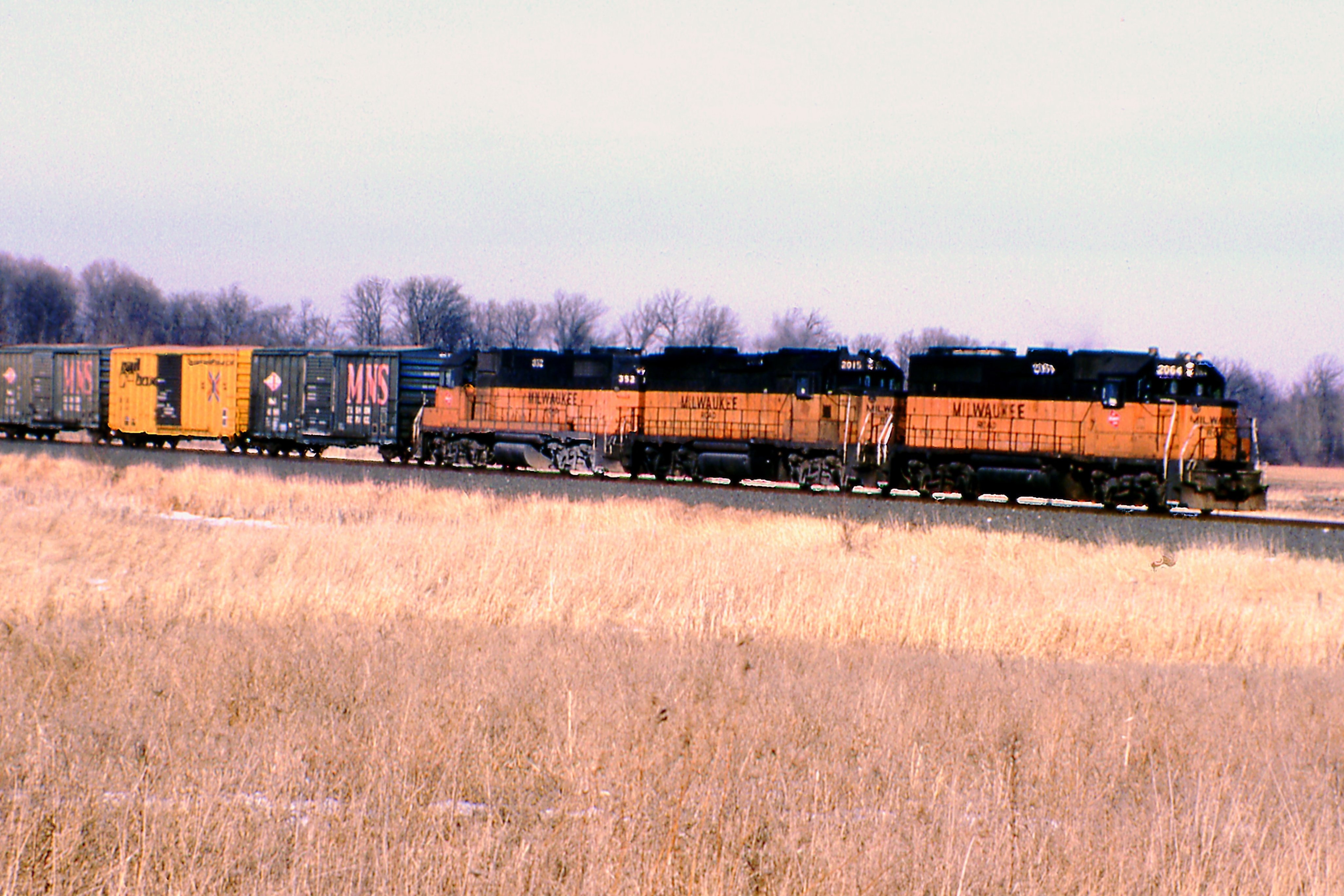
Pure Milwaukee Road Lashup

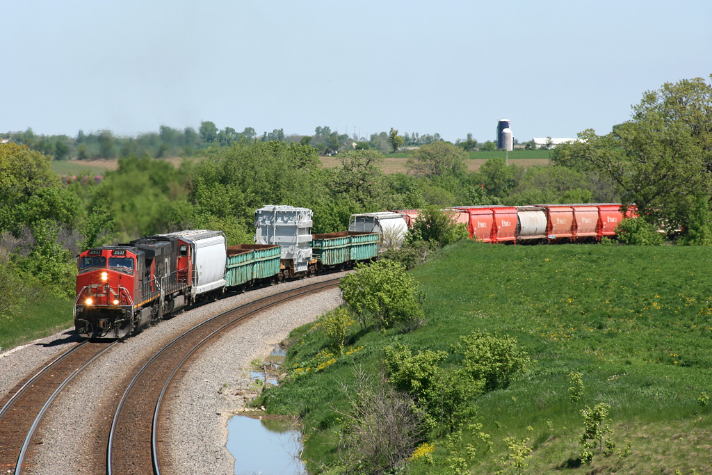
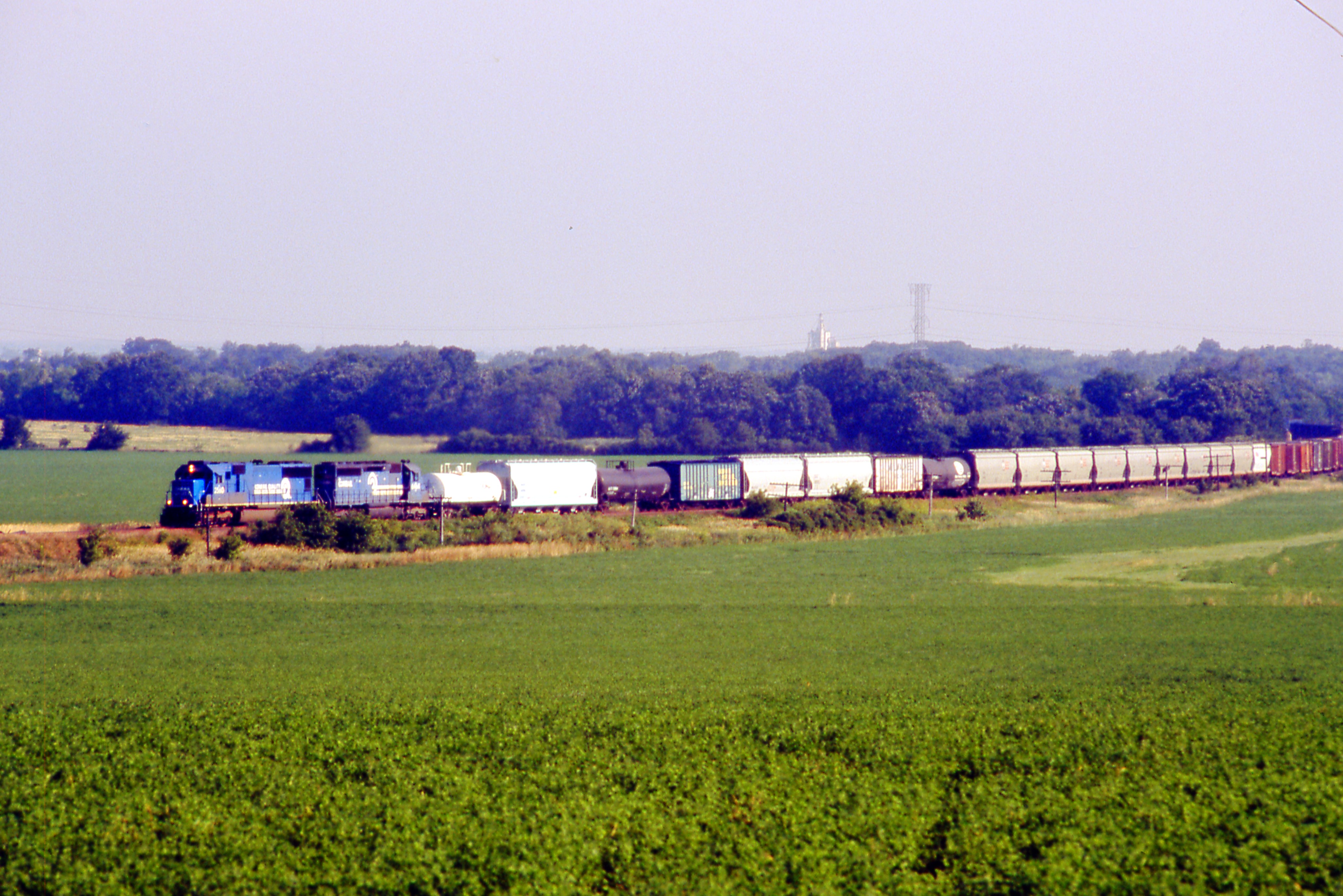
Odd Couple Comin' Down Byron

What's This?
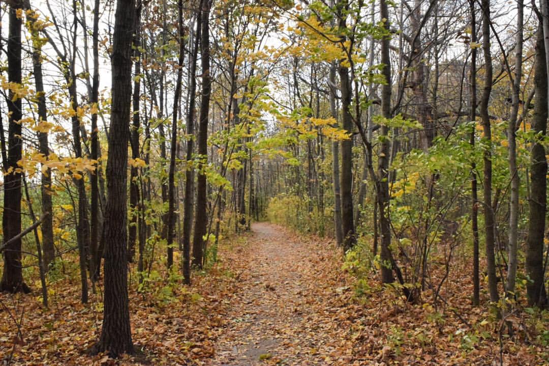
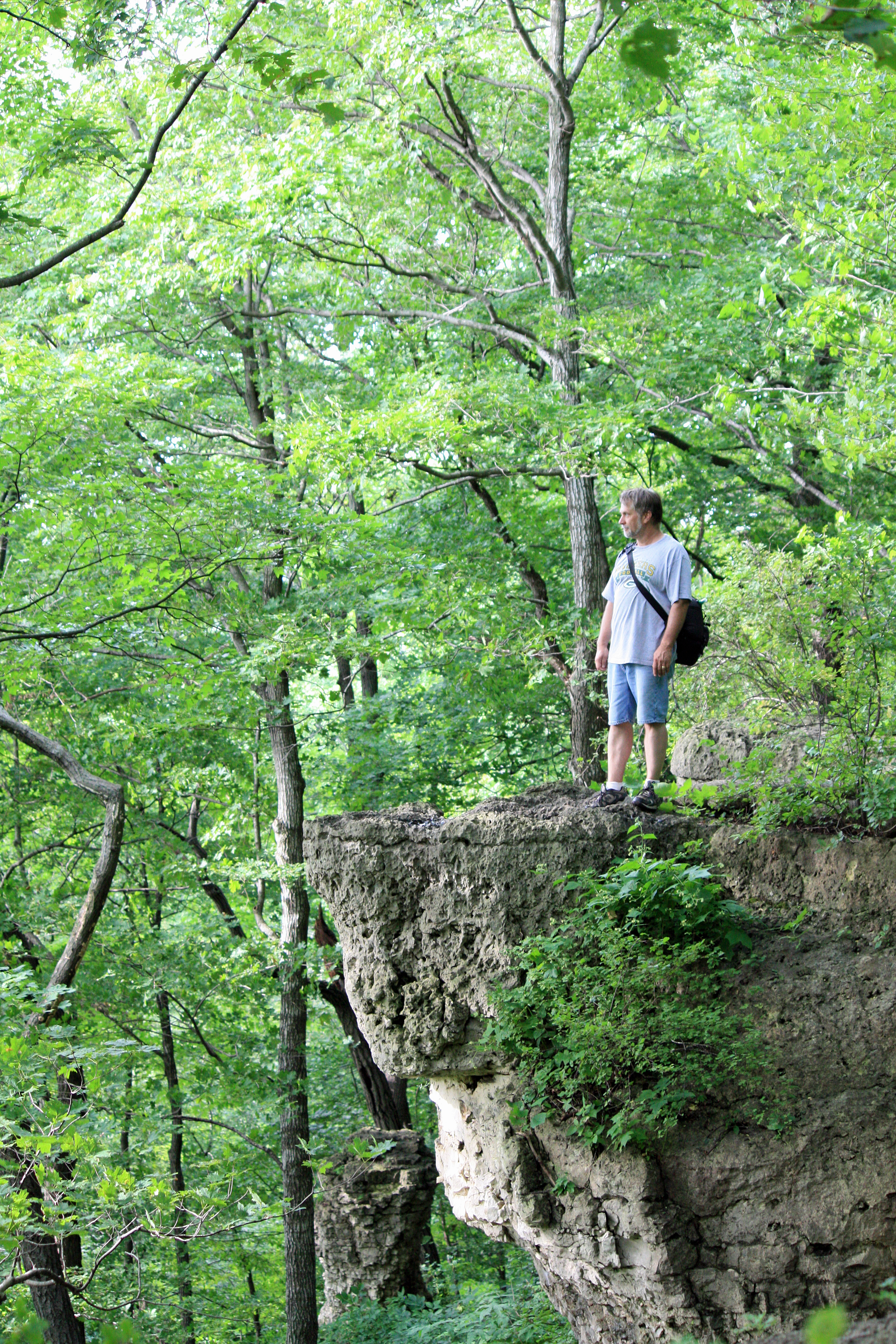
The wooded path through Hobbs Woods.

Zebra Twins
443569472948512467_4028996820131119-17937-1g9an3n

CN 4100 & 4711 | CN L508

Apr2012-9341-Edit
@fdlreporter #moon
Tree!
Rolling Out of Fond du lac

DSC05451.JPG
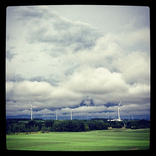
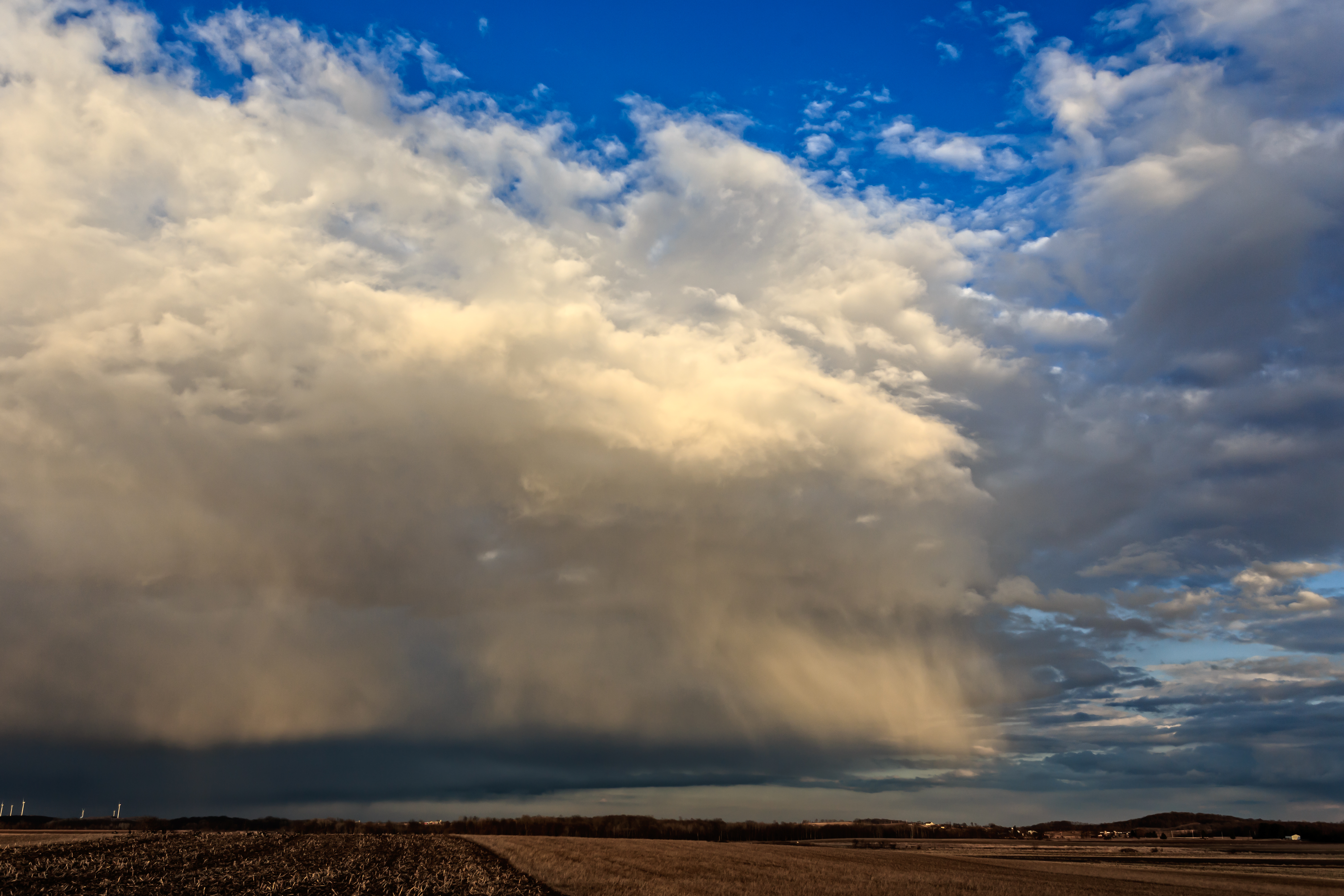
Wind and clouds...
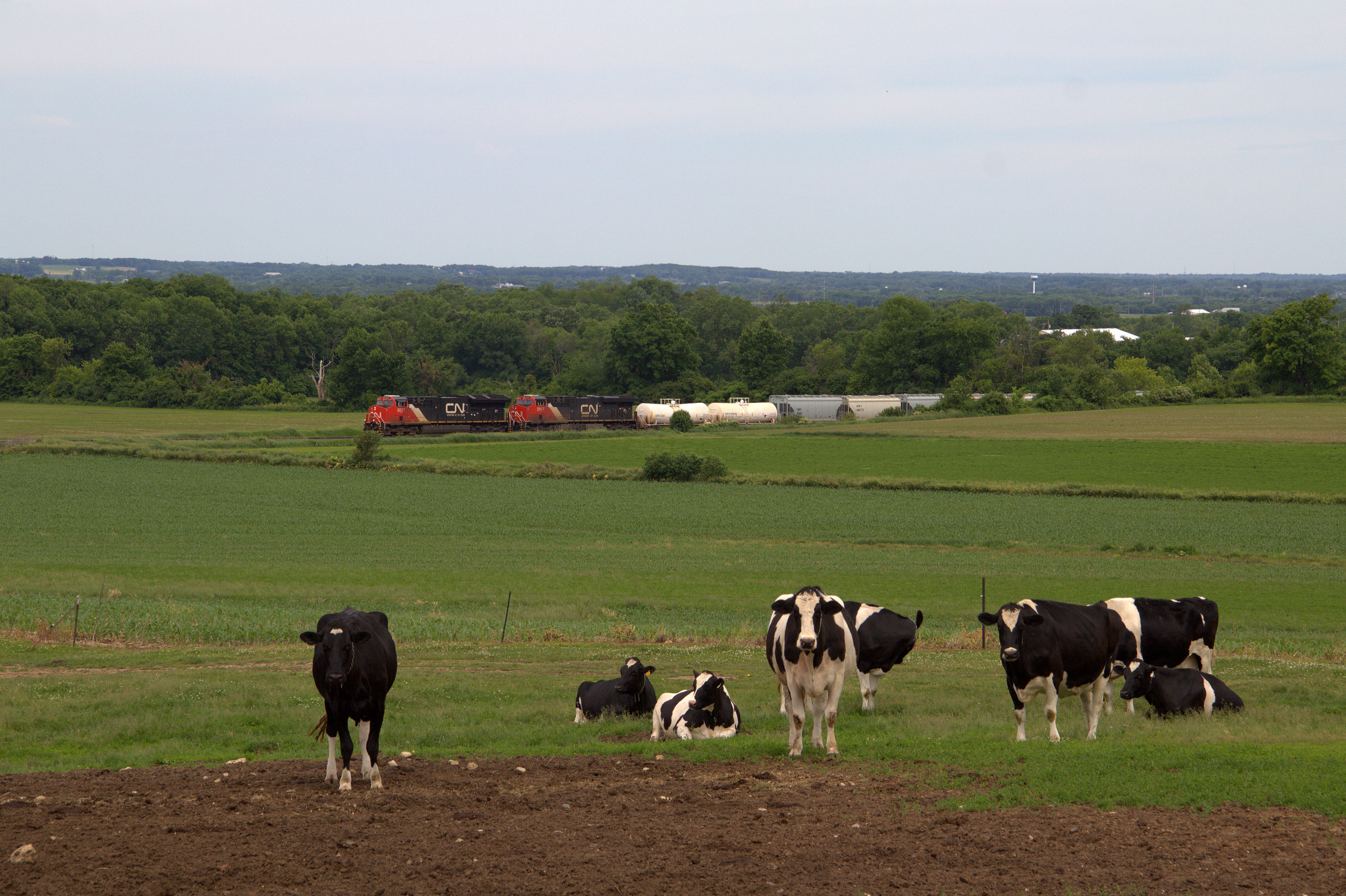
Land of cows, cheese, and beer-farts
Shawn Conrad20140702--2.JPG
20140408-IMG_6962
2013 Horicon Marsh Sunset 56
Topographic Map of Byron, WI, USA
Find elevation by address:

Places in Byron, WI, USA:
Places near Byron, WI, USA:
Hobb's Woods
Byron
N3069
1479 S Hickory St
963 Buttermilk Creek Dr
1077 Danbury Ave
816 Sterling Dr
East Pioneer Road
W4708 Branch Rd
Fanna Street
186 W 12th St
855 Estate Dr
Eden
Empire
N5453 Rancho Viejo Rd
Eden
Walnut Road
Elm St, Campbellsport, WI, USA
Campbellsport
US-45, Campbellsport, WI, USA
Recent Searches:
- Elevation of Luther Road, Luther Rd, Auburn, CA, USA
- Elevation of Unnamed Road, Respublika Severnaya Osetiya — Alaniya, Russia
- Elevation of Verkhny Fiagdon, North Ossetia–Alania Republic, Russia
- Elevation of F. Viola Hiway, San Rafael, Bulacan, Philippines
- Elevation of Herbage Dr, Gulfport, MS, USA
- Elevation of Lilac Cir, Haldimand, ON N3W 2G9, Canada
- Elevation of Harrod Branch Road, Harrod Branch Rd, Kentucky, USA
- Elevation of Wyndham Grand Barbados Sam Lords Castle All Inclusive Resort, End of Belair Road, Long Bay, Bridgetown Barbados
- Elevation of Iga Trl, Maggie Valley, NC, USA
- Elevation of N Co Rd 31D, Loveland, CO, USA