Elevation of Mystic Mountain Ridge, Franklin, NC, USA
Location: United States > North Carolina > Macon County > Franklin > Franklin >
Longitude: -83.448994
Latitude: 35.2533
Elevation: 695m / 2280feet
Barometric Pressure: 93KPa
Elevation Map:
Satellite Map:
Related Photos:

Nantahala Ranger House #3

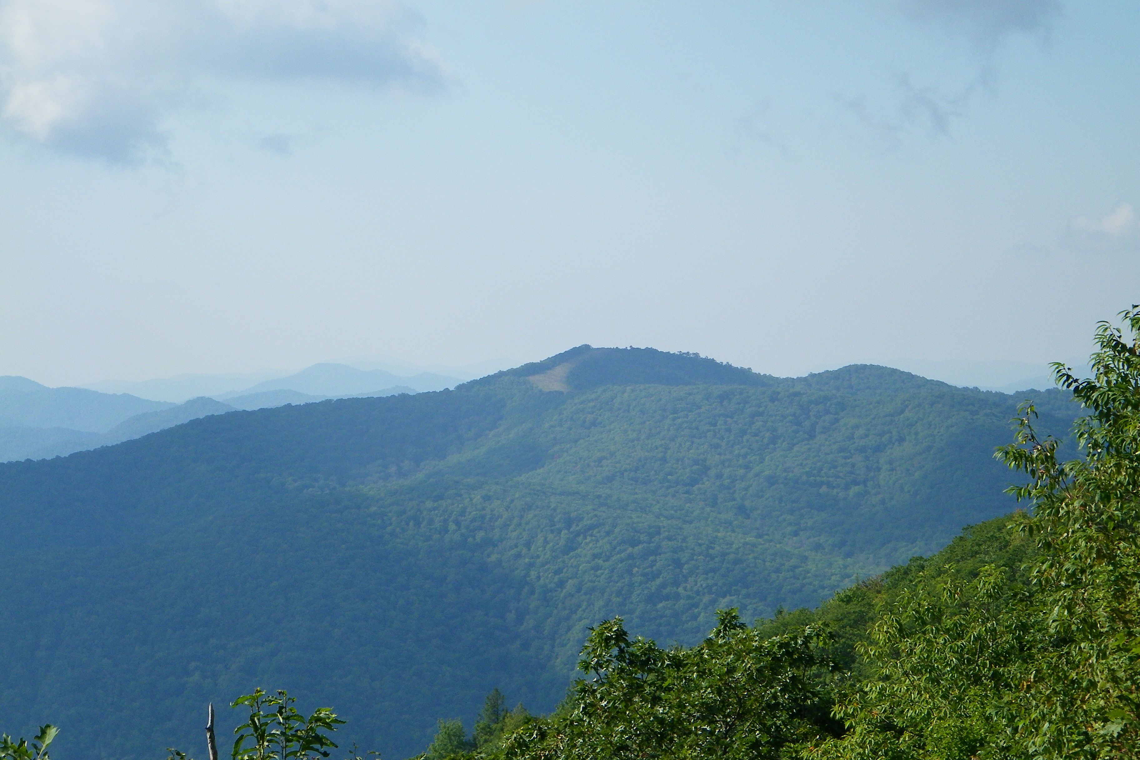
Summer Mountain View

Observation Tower View

Tower Mountain View

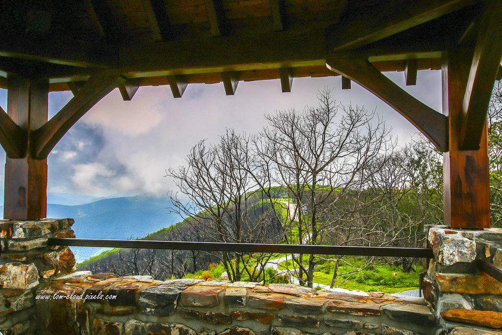
Cloudy Mountain View
Wayah Bald View

Wayah Bald Mountain View

Nantahala River Gorge - Land of the Noon Day Sun
For when U need it

Wayah Bald Fire Tower - Franklin, North Carolina (HDR)

Fringed Phacelia

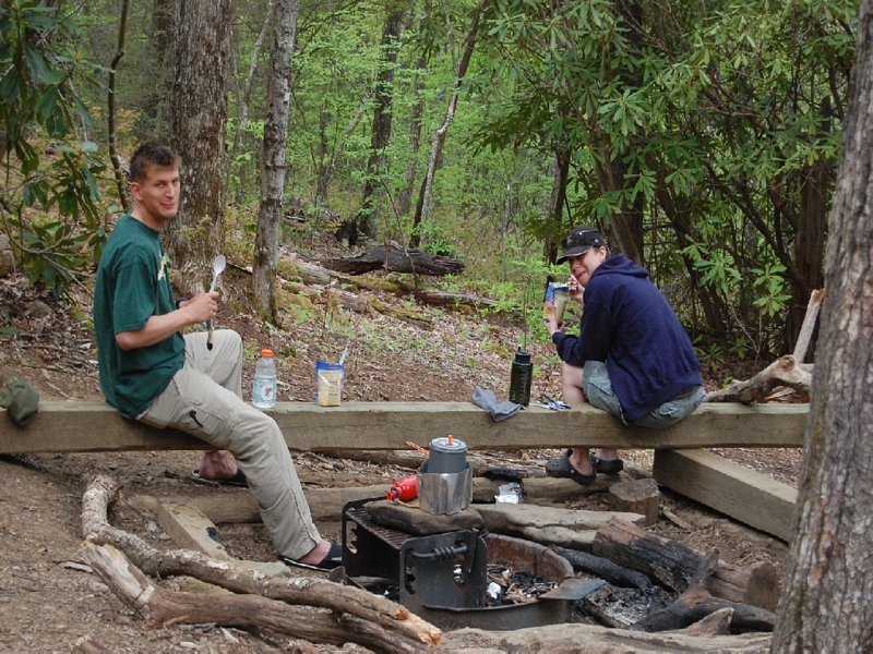
The new Wayah shelter

Mountain Sun

The Cowee Mountains.
I must have said something funny

Mountain Hiking
Wayah Bald Lookout Tower

Fire Pink

Wayah Bald Lookout Tower

Good looking kid

God's Country!

Water Painting

Town and country
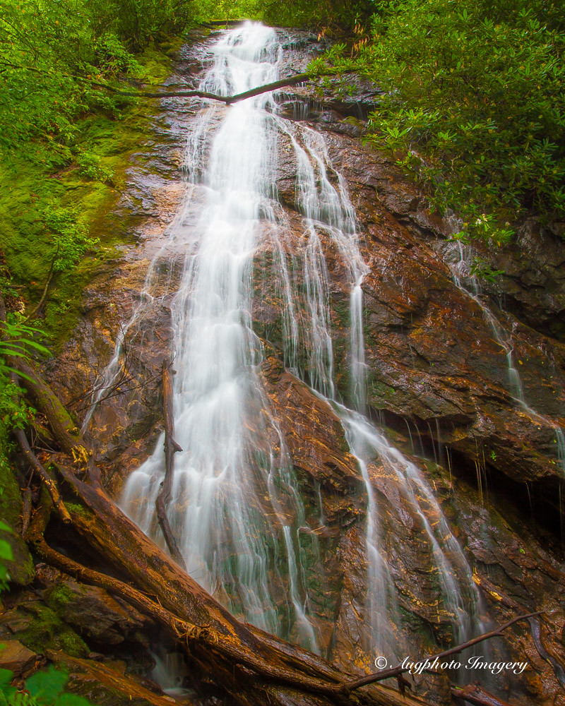
Rufus Morgan Falls

Rufus Morgan Trailhead-8430

Nantahala Ranger Home #1

Wayah Bald Tower

Between the river and the fog
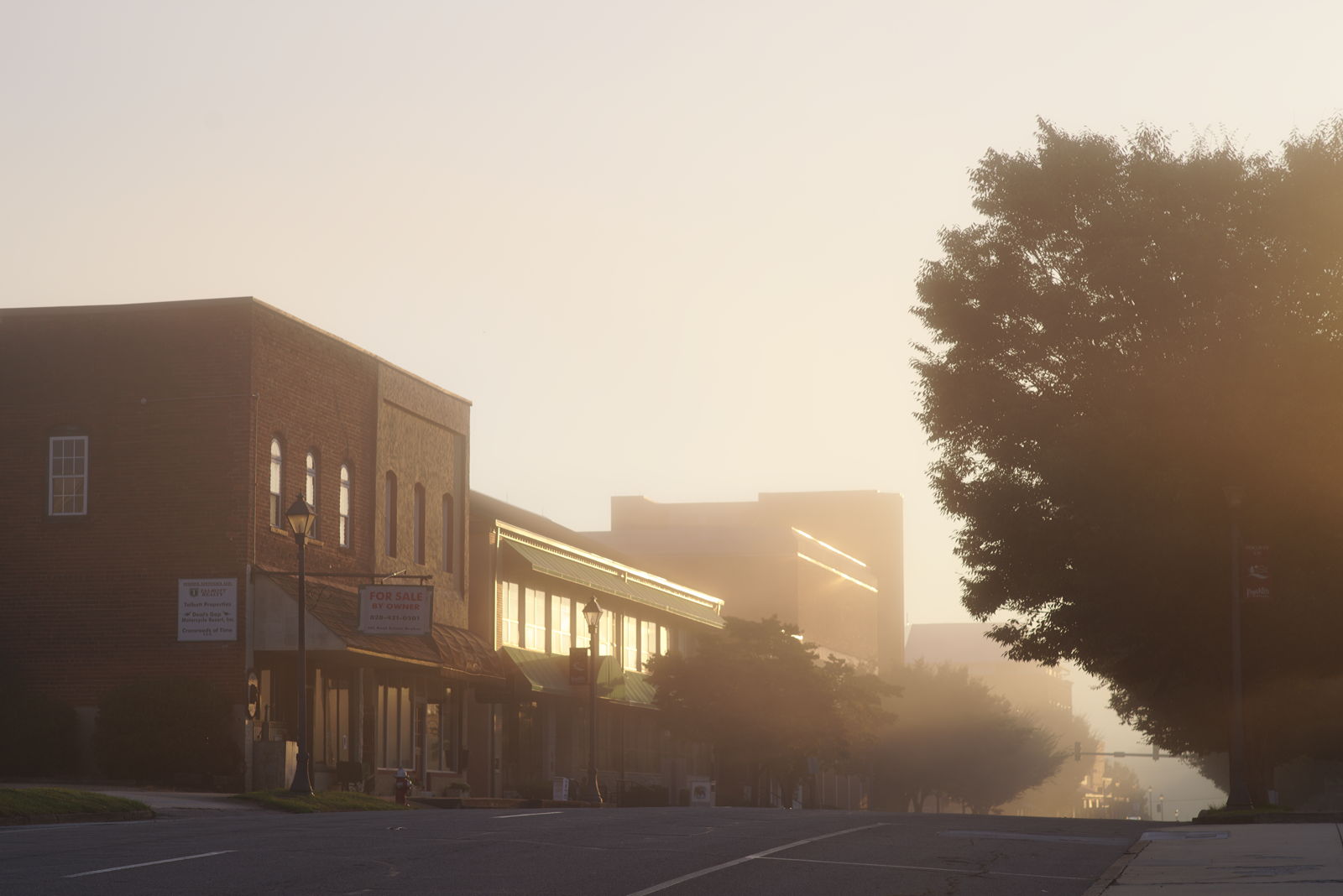
Morning on Main Street

Rufus Morgan Falls-8485

Rufus Morgan Trailhead-8489

Rufus Morgan Falls-8486

Rufus Morgan Trailhead-8453

Rufus Morgan Falls-8483

Rufus Morgan Trailhead-8426
Topographic Map of Mystic Mountain Ridge, Franklin, NC, USA
Find elevation by address:

Places near Mystic Mountain Ridge, Franklin, NC, USA:
77 Saldeer Mountain Rd
220 Shady Knoll Rd
216 Shady Knoll Rd
59 Rose Creek Trail
231 Stillhouse Branch Rd
Meadows Road
70 Rose Creek Cove Rd
536 Meadows Rd
221 Mccoy Hill Rd
54 Rosewood Dr
76 Castleberry View
19 Woodchuck Ln
706 Hall Farm Rd
290 Leatherman Raby Rd
62 T And E Ln
62 T And E Ln
20 W Mills Rd
83 N Deer Run Trail
455 Red Oak Rd
Recent Searches:
- Elevation of Congressional Dr, Stevensville, MD, USA
- Elevation of Bellview Rd, McLean, VA, USA
- Elevation of Stage Island Rd, Chatham, MA, USA
- Elevation of Shibuya Scramble Crossing, 21 Udagawacho, Shibuya City, Tokyo -, Japan
- Elevation of Jadagoniai, Kaunas District Municipality, Lithuania
- Elevation of Pagonija rock, Kranto 7-oji g. 8"N, Kaunas, Lithuania
- Elevation of Co Rd 87, Jamestown, CO, USA
- Elevation of Tenjo, Cundinamarca, Colombia
- Elevation of Côte-des-Neiges, Montreal, QC H4A 3J6, Canada
- Elevation of Bobcat Dr, Helena, MT, USA