Elevation of Hall Farm Rd, Franklin, NC, USA
Location: United States > North Carolina > Macon County > Franklin > Franklin >
Longitude: -83.421417
Latitude: 35.2589475
Elevation: 623m / 2044feet
Barometric Pressure: 94KPa
Elevation Map:
Satellite Map:
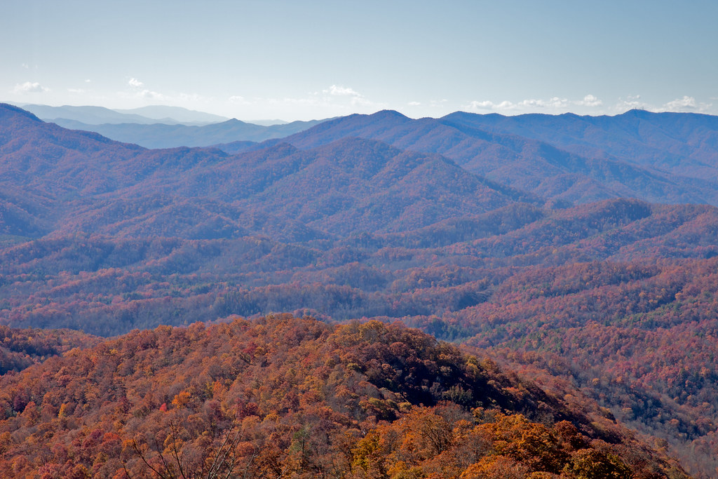
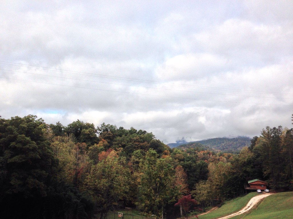
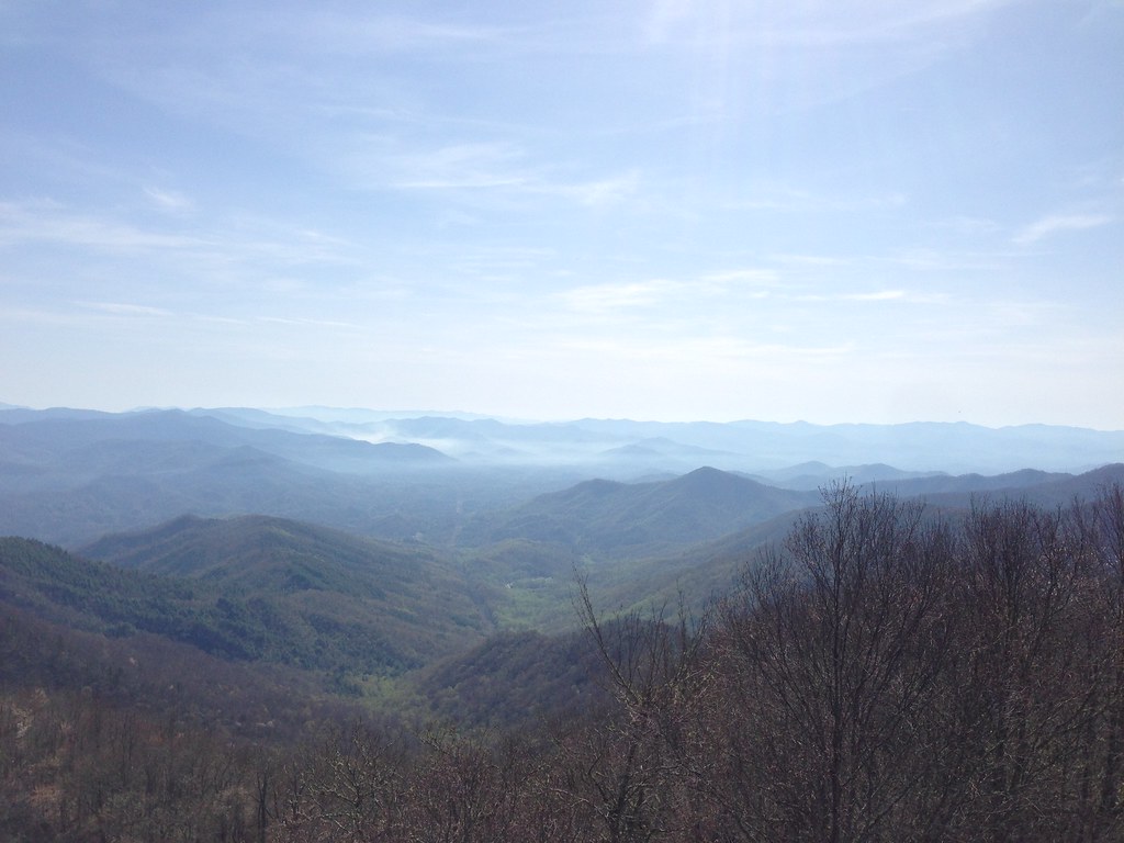
Related Photos:
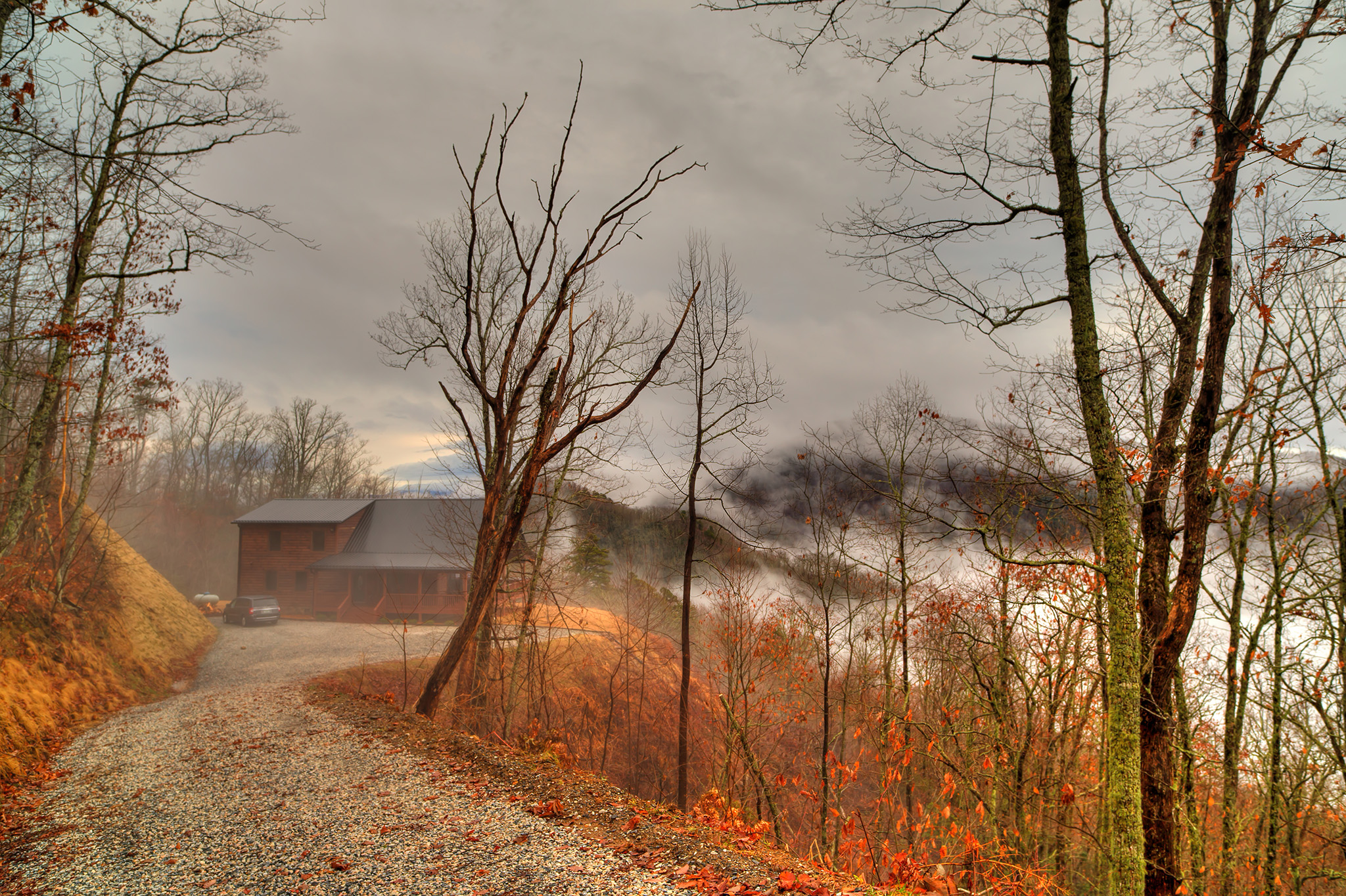
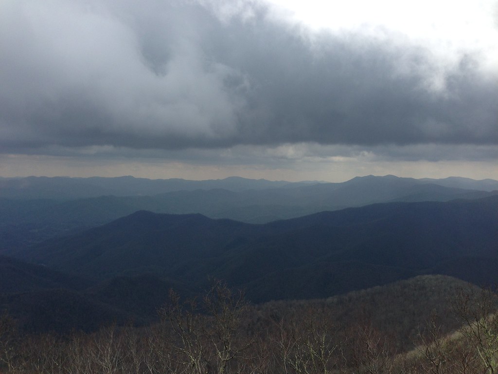
The Cabin Above The Clouds
I made it back from Heaven
West View from Wesser Bald Observation Tower
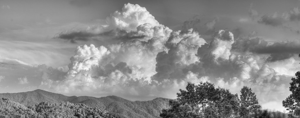
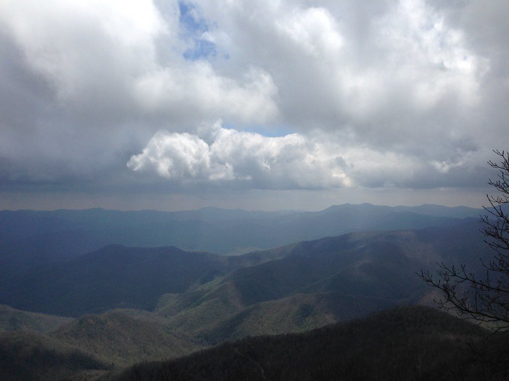
Clouds in the Smokys
View from Wayah Bald Tower
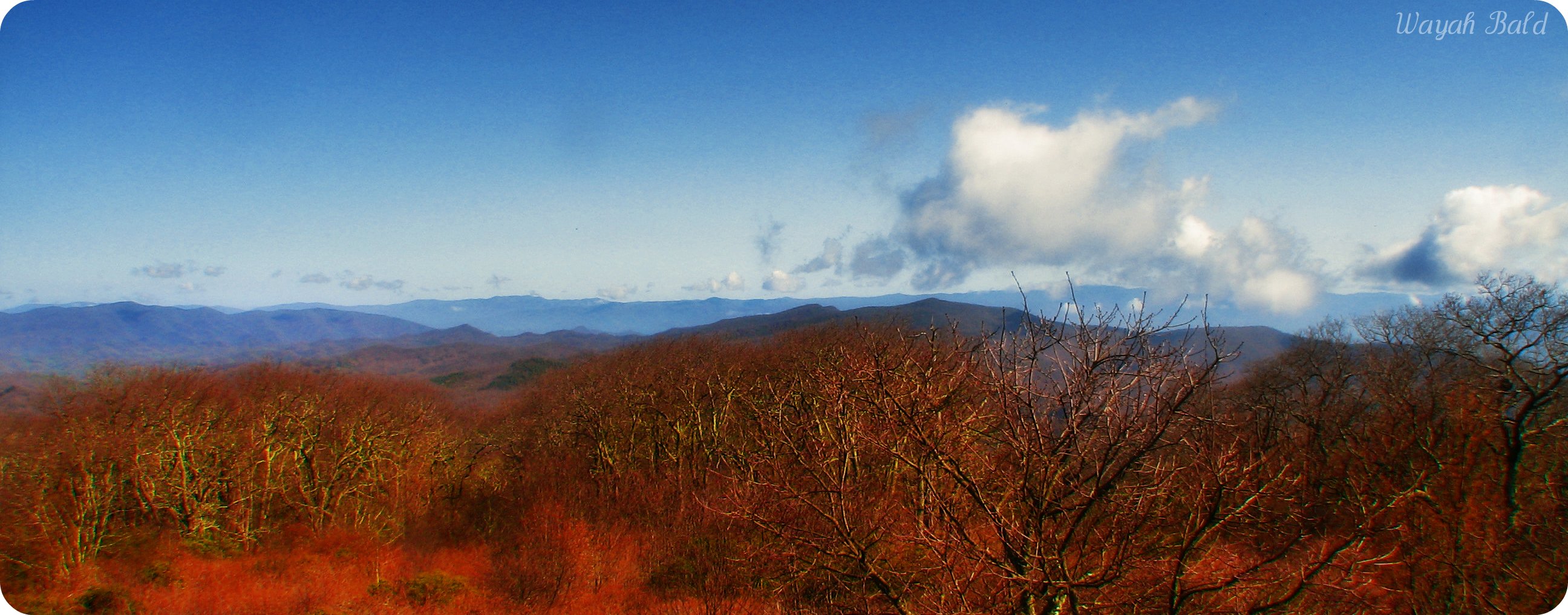
Wayah Bald

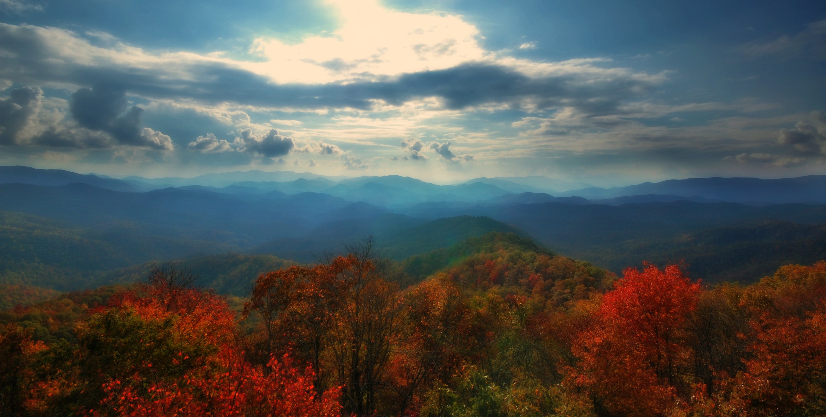
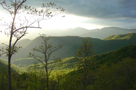
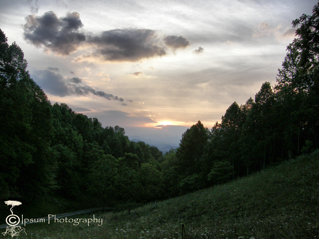
View in the evening!
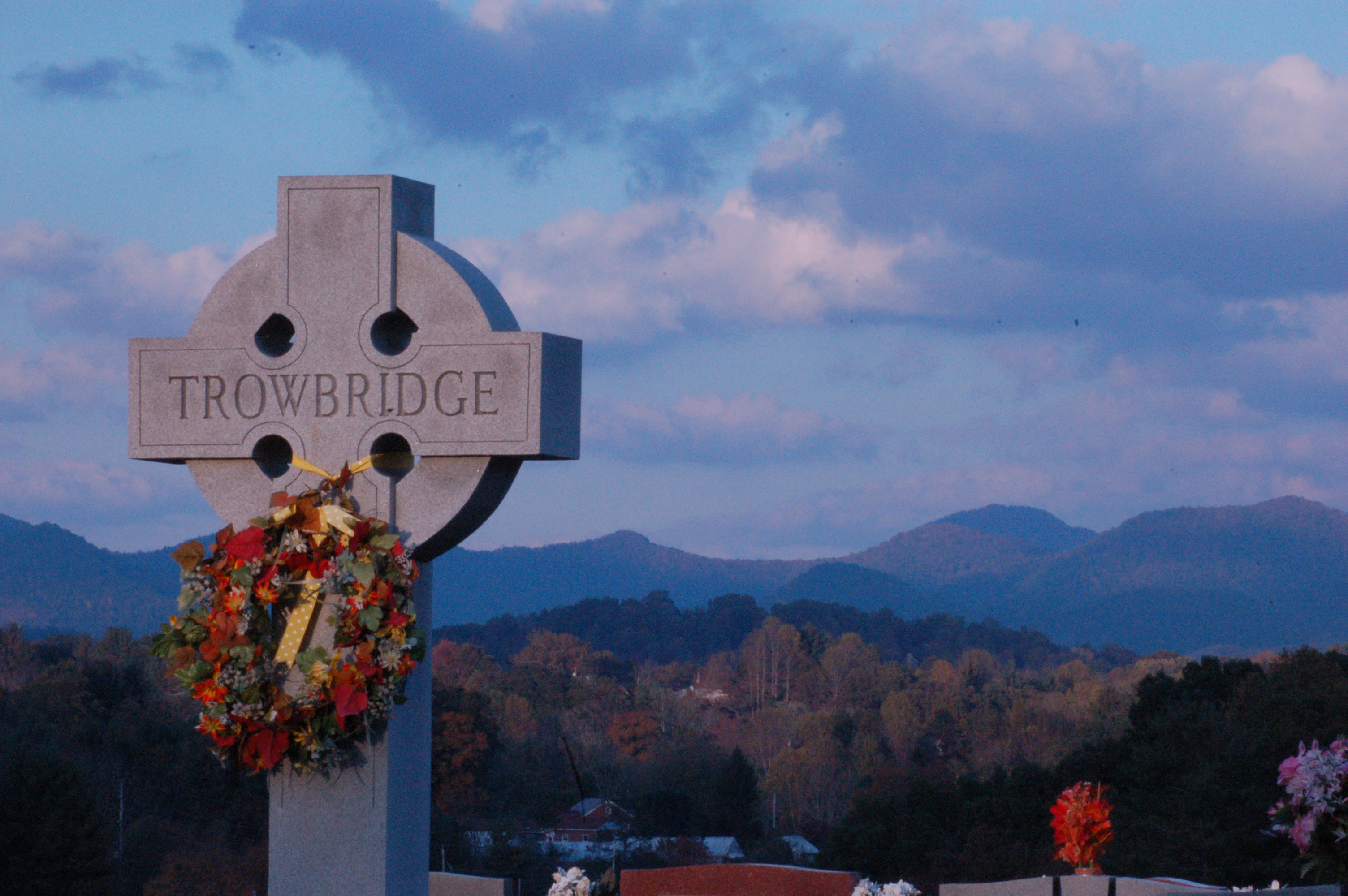
Cemetary View

Wayah Bald Fire Tower - Franklin, North Carolina (HDR)

Cowee Bald Fire Tower - North Carolina
Wesser Bald Lookout Tower
View from Wesser Bald
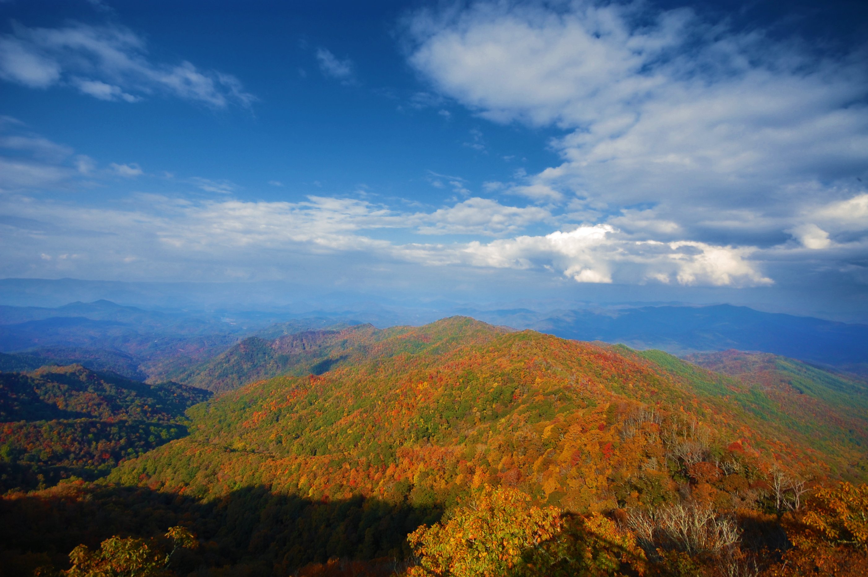
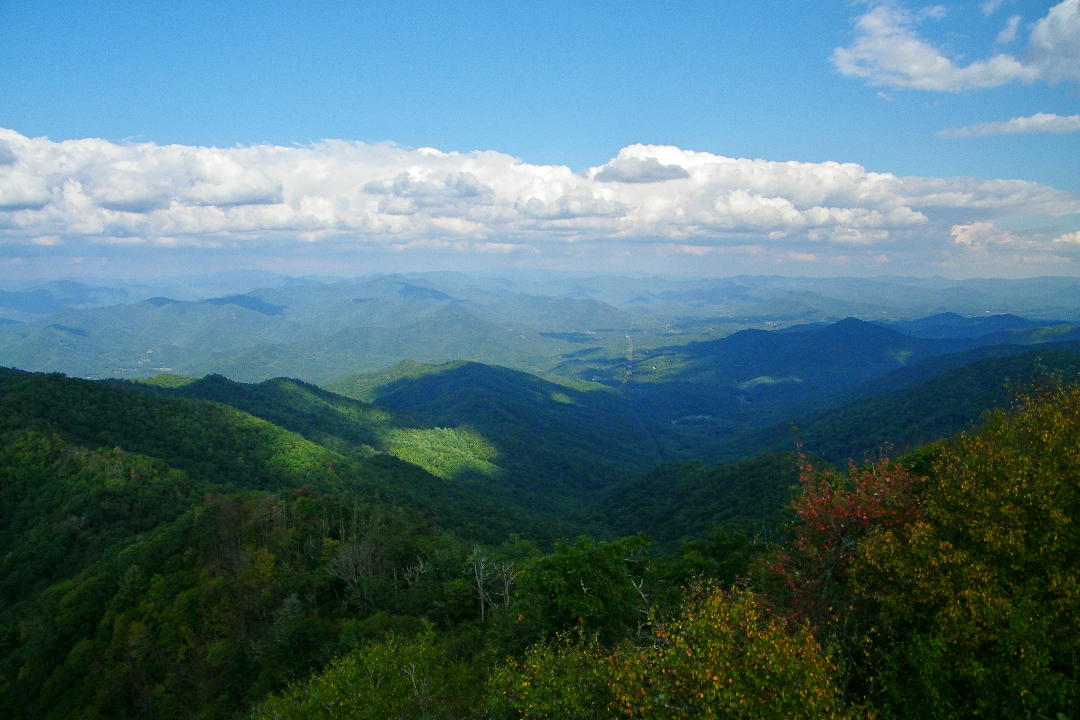
North Carolina Scenic View
View from Wesser Bald firetower
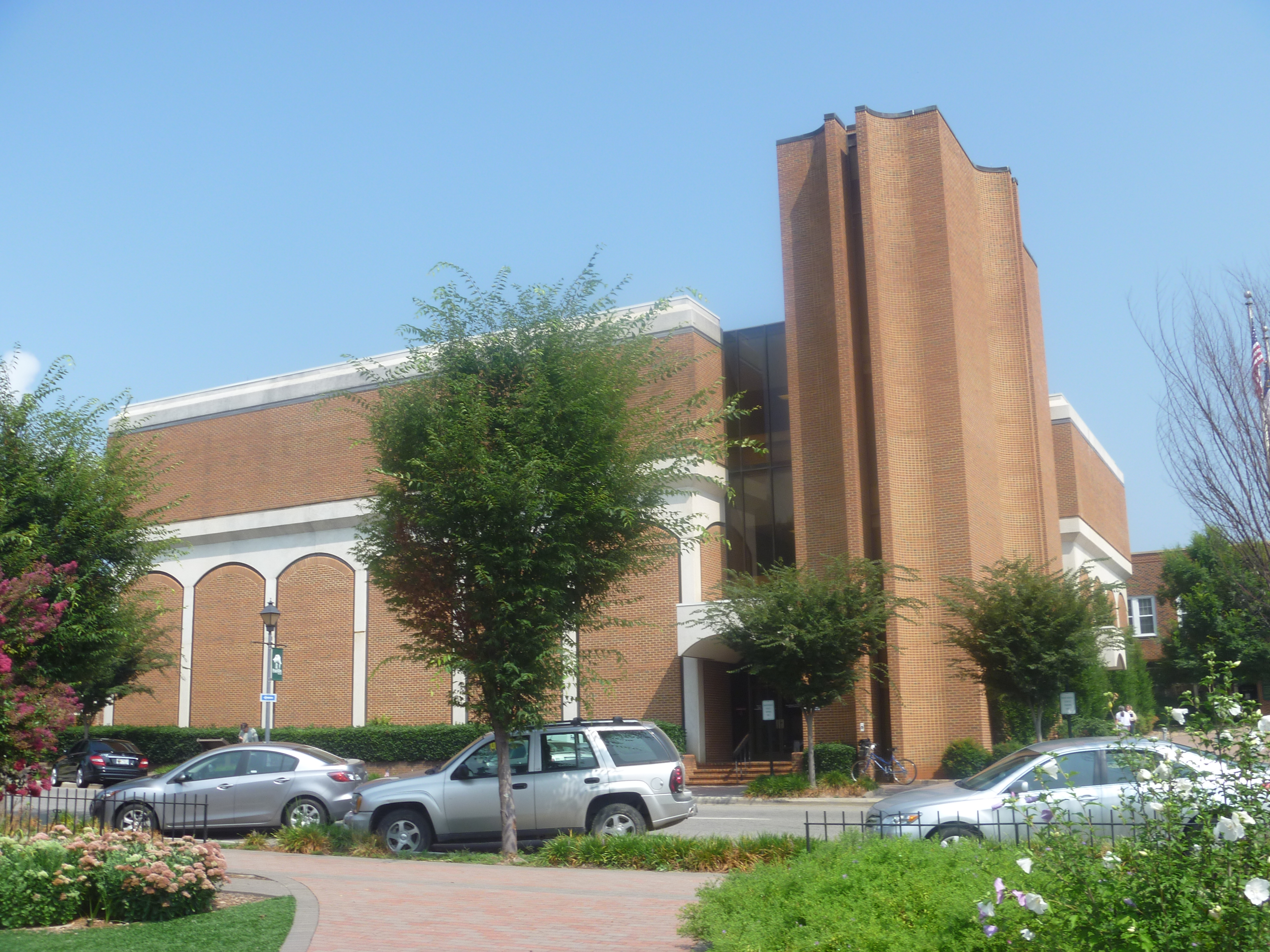
Side View Of Macon County Courthouse
View from Wayah Bald
Cowee Valley by Susan
Front Porch View 1
Wesser Bald Lookout Tower

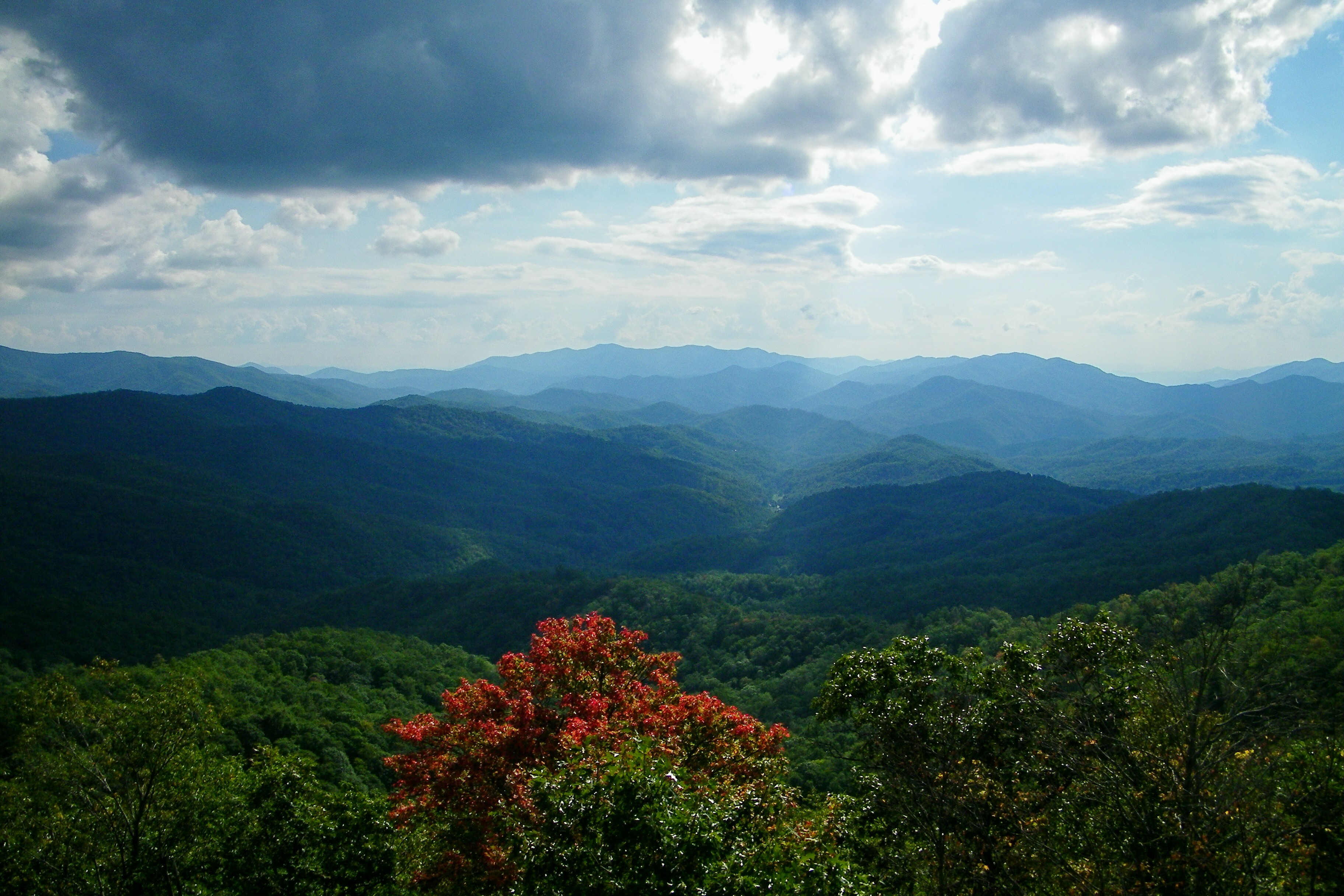
Southeast from Wesser Bald

Wesser Bald Lookout Tower
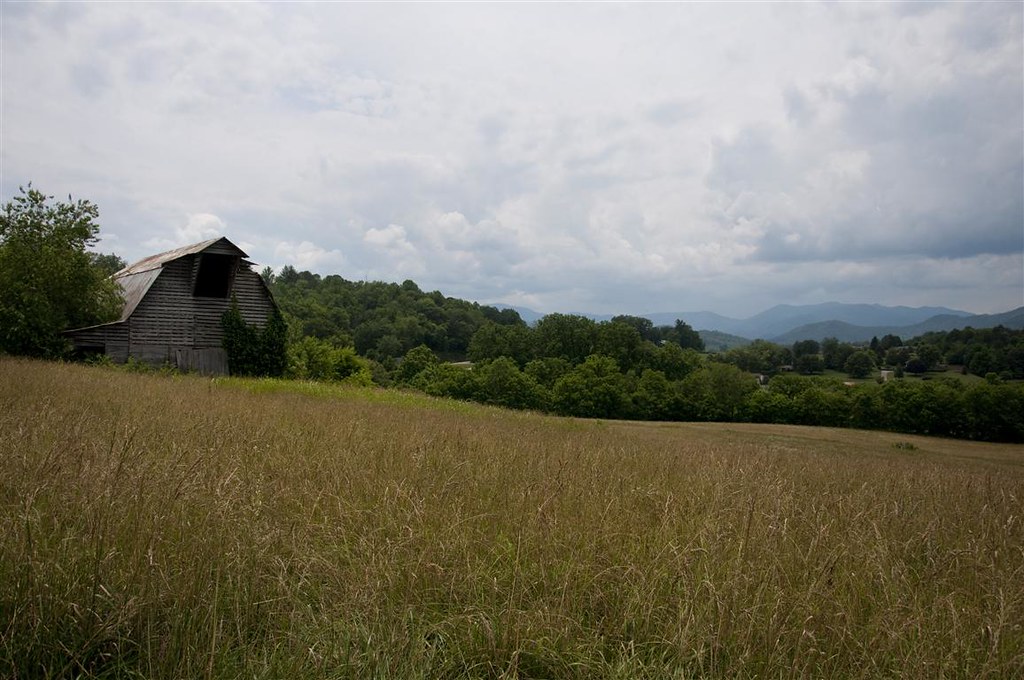
Fields of Gold | Franklin, NC

Trying Out Star Photography
Wesser Bald Jeep Trail
Smoky Mountains
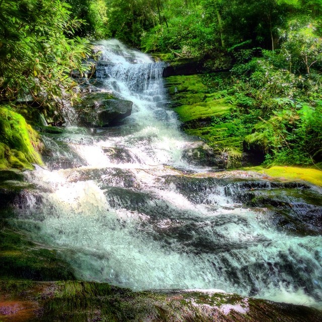
Alarka Falls #alarkafalls #brysoncity #wnc #ncwaterfalls #waterfallpics #waterfallhiking #waterfallphotography #iphotography #igersoftheday #828isgreat #blueridgecountry
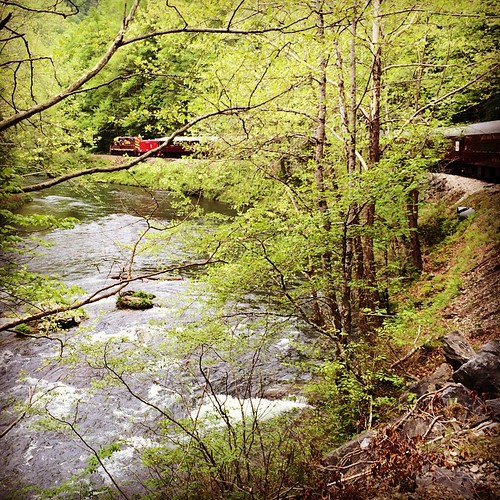
Train tour of the Great Smoky Mts

Big Laurel Falls #franklin #standingindian #appalachia #blueridgecountry #welovenc #we_see_wnc #wilderness_culture #biglaurelfalls #diamondbrand_outdoors #cmc100challenge #stream #falls #explore #westernnorthcarolina #landofwaterfalls
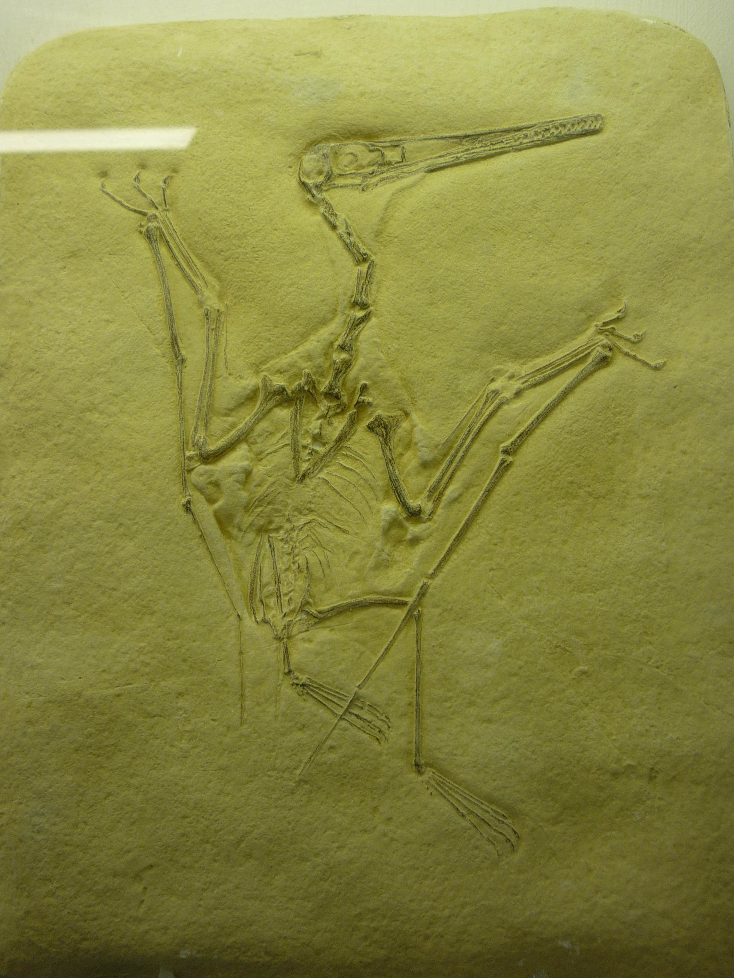
bird-like fossil

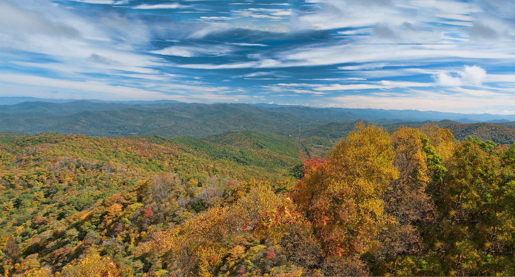
Great Smoky Mountains of NC.

2013-09-28 17.08.41
Wesser Bald Observation Tower - Macon County, North Carolina (HDR)
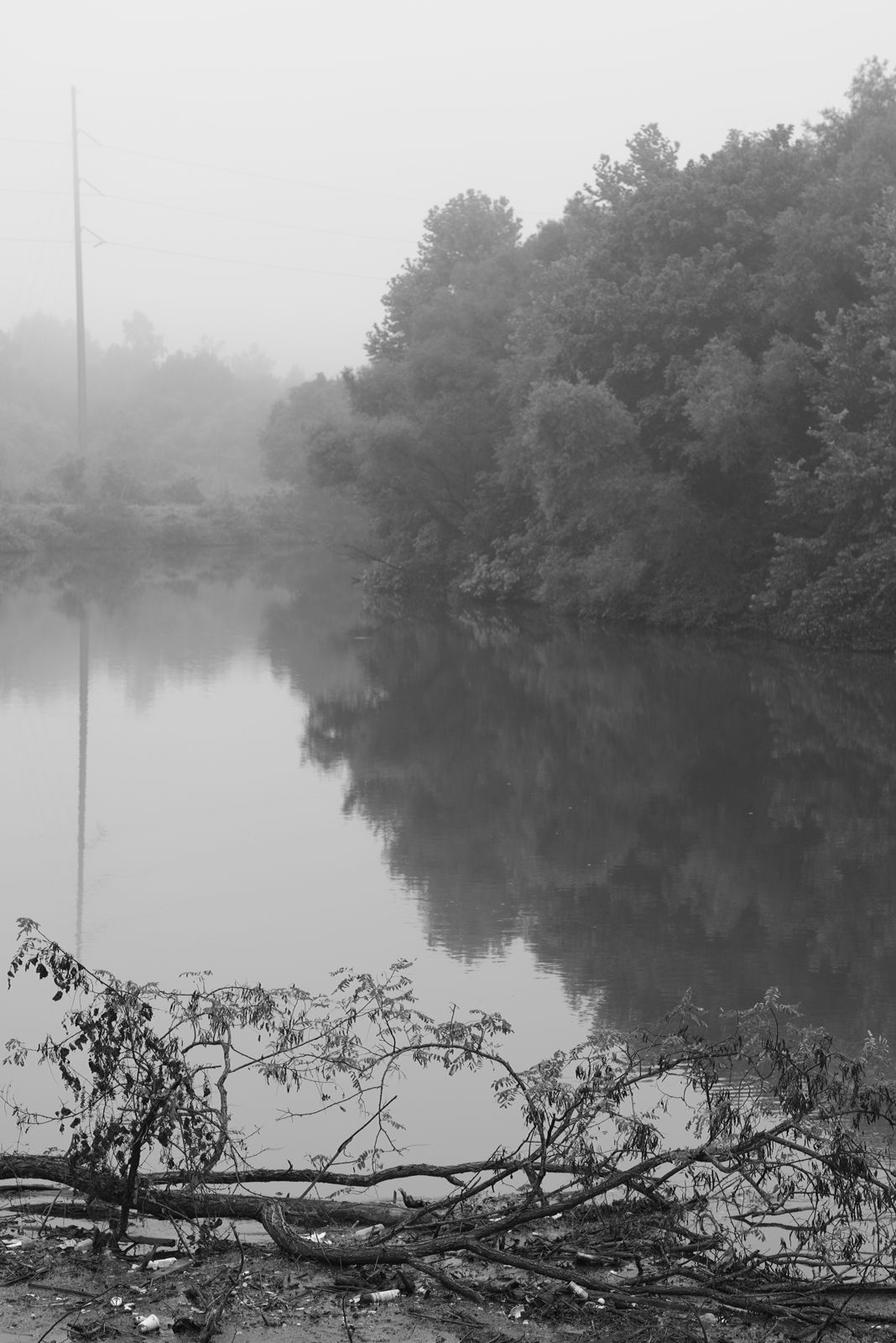
Between the river and the fog
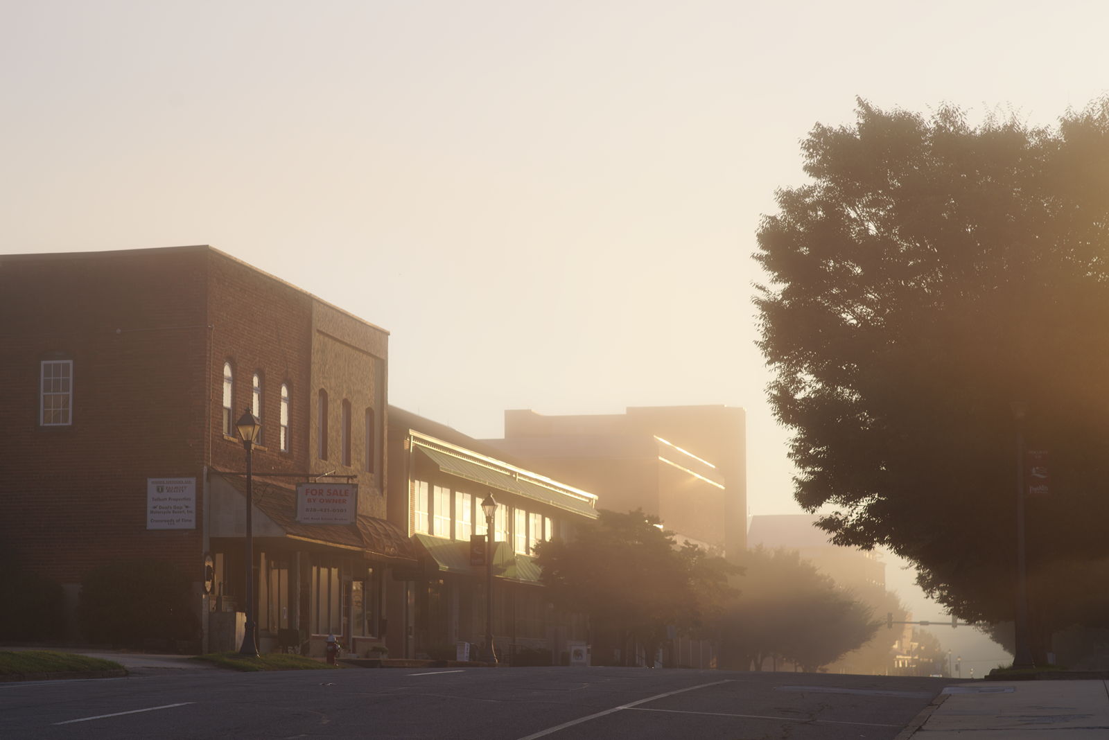
Morning on Main Street

Rufus Morgan Trailhead-8426
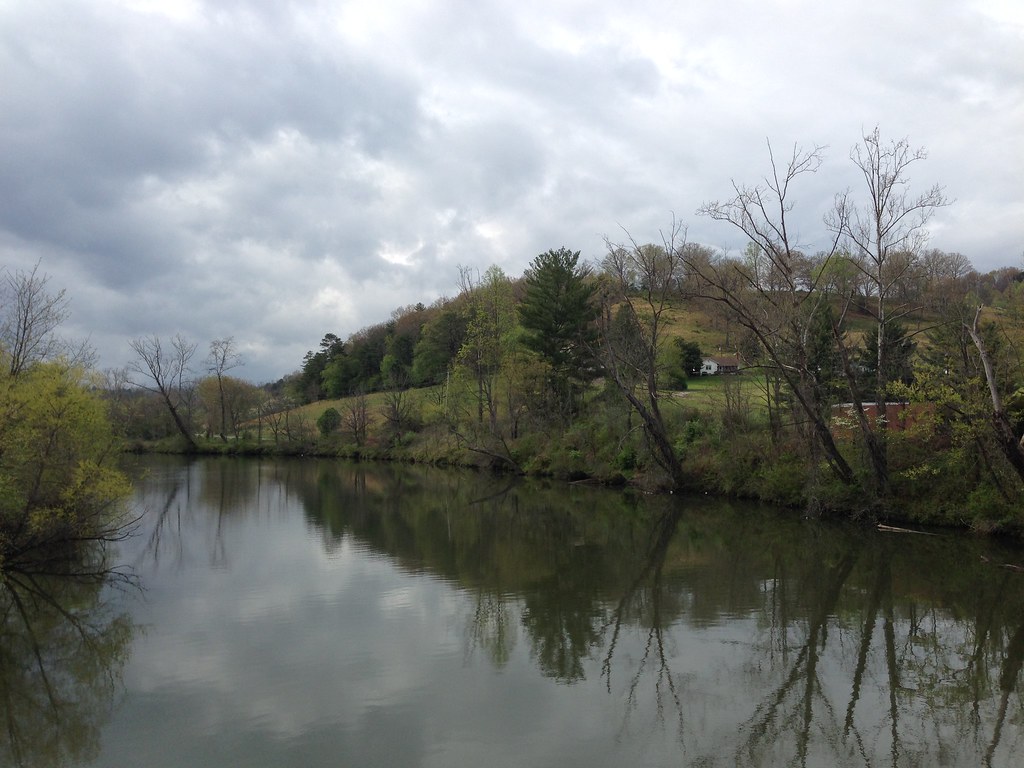
Little Tennessee River
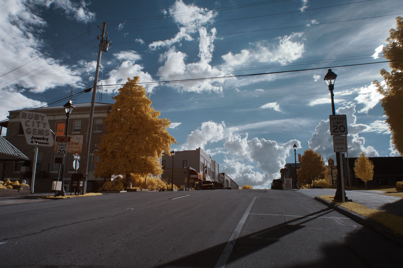
Ruby City
What a Front Yard
Topographic Map of Hall Farm Rd, Franklin, NC, USA
Find elevation by address:

Places near Hall Farm Rd, Franklin, NC, USA:
20 W Mills Rd
62 T And E Ln
62 T And E Ln
290 Leatherman Raby Rd
83 N Deer Run Trail
231 Stillhouse Branch Rd
54 Rosewood Dr
70 Rose Creek Cove Rd
59 Rose Creek Trail
455 Red Oak Rd
536 Meadows Rd
Meadows Road
76 Castleberry View
216 Shady Knoll Rd
220 Shady Knoll Rd
221 Mccoy Hill Rd
77 Saldeer Mountain Rd
558 Mystic Mountain Ridge
19 Woodchuck Ln
Recent Searches:
- Elevation of Elwyn Dr, Roanoke Rapids, NC, USA
- Elevation of Congressional Dr, Stevensville, MD, USA
- Elevation of Bellview Rd, McLean, VA, USA
- Elevation of Stage Island Rd, Chatham, MA, USA
- Elevation of Shibuya Scramble Crossing, 21 Udagawacho, Shibuya City, Tokyo -, Japan
- Elevation of Jadagoniai, Kaunas District Municipality, Lithuania
- Elevation of Pagonija rock, Kranto 7-oji g. 8"N, Kaunas, Lithuania
- Elevation of Co Rd 87, Jamestown, CO, USA
- Elevation of Tenjo, Cundinamarca, Colombia
- Elevation of Côte-des-Neiges, Montreal, QC H4A 3J6, Canada