Elevation of 70 Rose Creek Cove Rd, Franklin, NC, USA

Location: United States > North Carolina > Macon County > Franklin > Franklin >

Longitude: -83.432858

Latitude: 35.2497338

Elevation: -10000m / -32808feet

Barometric Pressure: 295KPa

Elevation Map:

elevation map of 70 Rose Creek Cove Rd, Franklin, NC, USA

Satellite Map:

Satellite map of 70 Rose Creek Cove Rd, Franklin, NC, USA

Related Photos:

tower observationtower mountains mountain view mountainview nature mothernature sky clouds cloudy weather trees forest nantahala nationalforest nantahalanationalforest northcarolina franklin usa landscape country rural
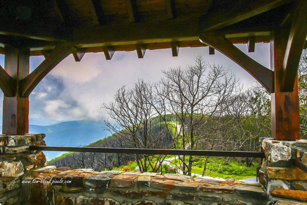
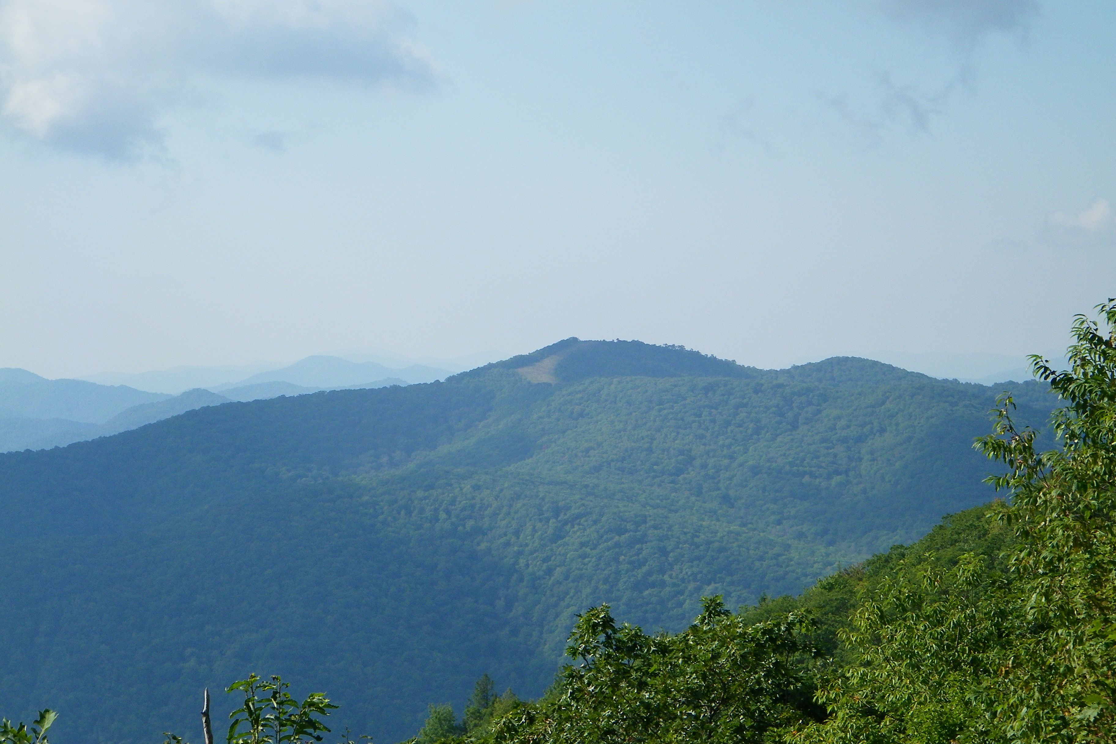
Observation Tower View
mountain mountainview clouds cloudy sky weather trees forest nantahala nantahalanationalforest landscape mountainscape nature mothernature outdoors greatoutdoors northcarolina franklin usa
Cloudy Mountain View
mountain view mountainview observation tower observationtower trees sky clouds country ruralforeat nantahala nationalforest nantahalanationalforest landscape northcarolina franklin usa nature mothernature outdoors greatoutdoors
Wayah Bald View
nc northcarolina hdr firetower appalachiantrail civilianconservationcorps nantahalanationalforest maconcounty wayahbald topazadjust wayahroad forestservicerd69 wayahbaldfiretower
Wayah Bald Fire Tower - Franklin, North Carolina (HDR)
franklin nc northcarolina firetower nantahalanationalforest jacksoncounty maconcounty governmentroad topazadjust coweemountain coweebaldfiretower forestserviceroad70 coweefiretower
Cowee Bald Fire Tower - North Carolina
mountain view mountainview moutains landscape clouds cloudy sky weather outdoors nature mothernature trees country rural forest nantahala nationalforest nantahalanationalforest franklin northcarolina usa
Summer Mountain View
mountain view mountainview observation tower observationtower trees trail outdoors sky clouds cloudy weather landscape nature mothernature wayahbald northcarolina franklin usa
Tower Mountain View
mountainview trees clouds cloudy sky weather nature mothernature outdoors greatoutdoors country rural mountains franklin northcarolina wayah bald wayahbald nantahala forest nationalforest nantahalanationalforest landscape
Wayah Bald Mountain View
autumn cloud fog cabin unitedstates altitude northcarolina elevation hdr 3xp travelandplaces
The Cabin Above The Clouds
nantahala wesserbald
I made it back from Heaven
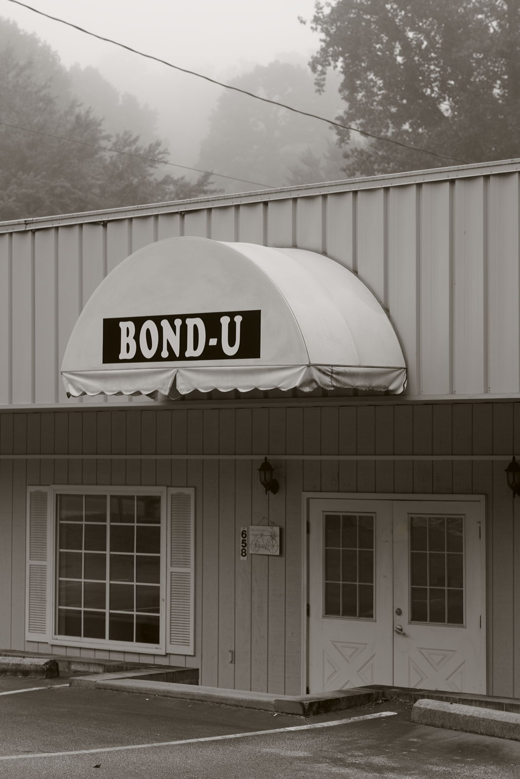
westernnorthcarolina fog pentax k1 smcpentax11885mm iridientdeveloper affinityphoto
For when U need it
West View from Wesser Bald Observation Tower
blackandwhite panorama hdr smokymountains tamron90mmf28 canoneos40d
Clouds in the Smokys
pink plants white plant flower nature petals purple pistil stamen bloom wildflower hydrophyllaceae waterleaffamily phaceliafimbriata fringedphacelia johncothron 2jtrip2009 cothronphotography
Fringed Phacelia
geotagged unitedstates northcarolina topton geo:lat=35188286 geo:lon=835626661666667
The new Wayah shelter
mountains mountainous appalachianmountains mamluke appalachians autumn fall northcarolina nc south batesbranch clouds sunlight view vista
Mountain Sun
bald appalachian shelter overlook nantahala wesser
Appalachian Trail
sky field clouds geotagged us nc view unitedstates scenic berge vista hay bergen 山 appalachia montañas montagnes wnc westernnorthcarolina maconcounty viewshed southernappalachians coweemountains
The Cowee Mountains.
autumn nc northcarolina appalachian appalachiantrail maconcounty wesser southernappalachians wesserbald
View from Wesser Bald
autumn northcarolina appalachian smokies smokymountains appalachiantrail noc gsmnp wesser wesserbald
Fontana Lake and Clingman's Dome from Wesser Bald
geotagged unitedstates northcarolina topton geo:lat=351883211666667 geo:lon=835626446666667
I must have said something funny
tower observation observationtower mountain mountains hill trees clouds cloudy sky weather landscape mountainscene nature mothernature outdoors wayahbald northcarolina franklin usa
Wayah Bald Tower
Fields of Gold | Franklin, NC
nc pano northcarolina panoramic hdr appalachiantrail nantahalanationalforest maconcounty wesserbald wesserbaldobservationtower topazadjust wesserbaldfiretower
Wesser Bald Observation Tower - Macon County, North Carolina (HDR)
nc scenicbyway franklin northcarolina unitedstates
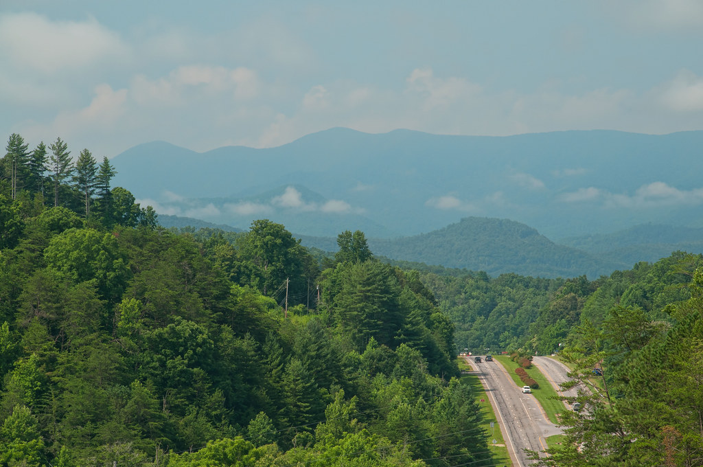
Mountain Waters Scenic Byway
waterfall north carolina nantahala alarka
Alarka Falls
franklin nc northcarolina us23 maconcounty us441 franklinnc brendletown
Franklin, North Carolina
summer panorama geotagged us nc unitedstates vista photomerge hazy nantahalanationalforest viewshed southernappalachians wayahbald wayahbaldtower
[PANORAMA] Looking east from the tower at Wayah on a hazy day.
northcarolina appalachian whiteside appalachiantrail hogback maconcounty wesser at wesserbald
Southeast from Wesser Bald
tower bald lookout appalachian nantahala wesser
Wesser Bald Lookout Tower
tower bald lookout appalachian nantahala wayah silers
Wayah Bald Lookout Tower