Elevation of Murrell Rd, Awendaw, SC, USA
Location: United States > South Carolina > Charleston County > Awendaw >
Longitude: -79.615234
Latitude: 33.03981
Elevation: 7m / 23feet
Barometric Pressure: 101KPa
Elevation Map:
Satellite Map:
Related Photos:

Mischievous Bird Grasshopper (Schistocerca damnifica)
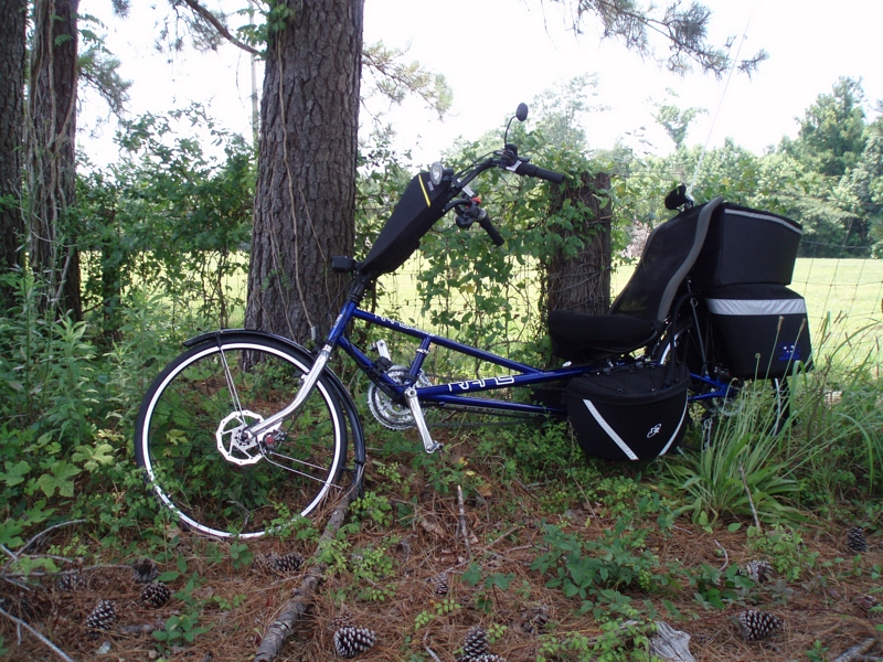
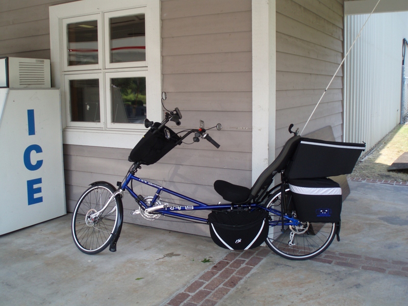
Lean when you have no kick stand

Sometimes the fishing is so good we just cruise around for the last hour. We loaded up on redfish yesterday and then checked out some sights. Here's a unique view of the Yorktown seen from the water! #Charleston #travel #harbortour #sc #mtpleasant #rig

bee-like robber fly (Laphria)
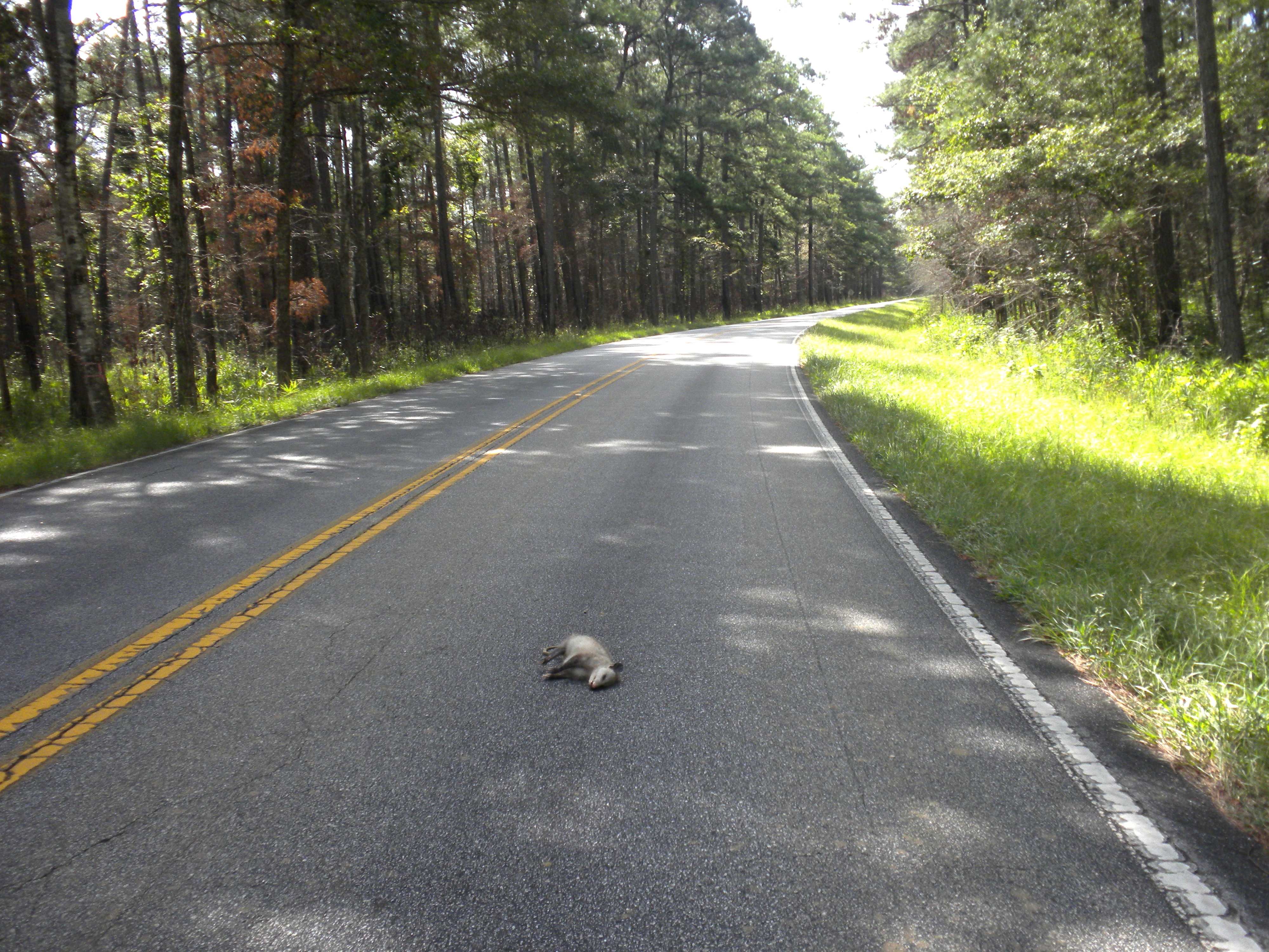
deceased possum
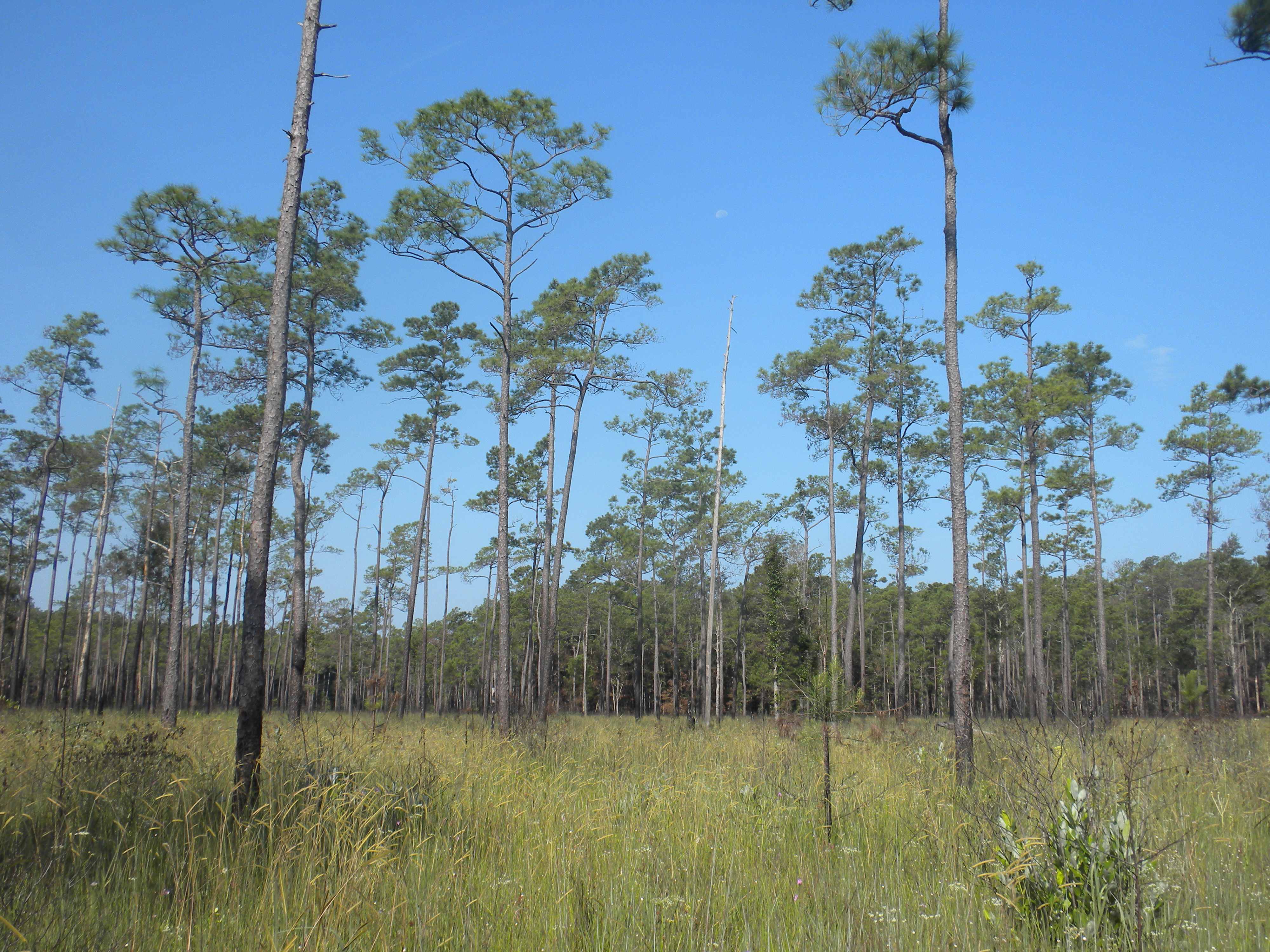
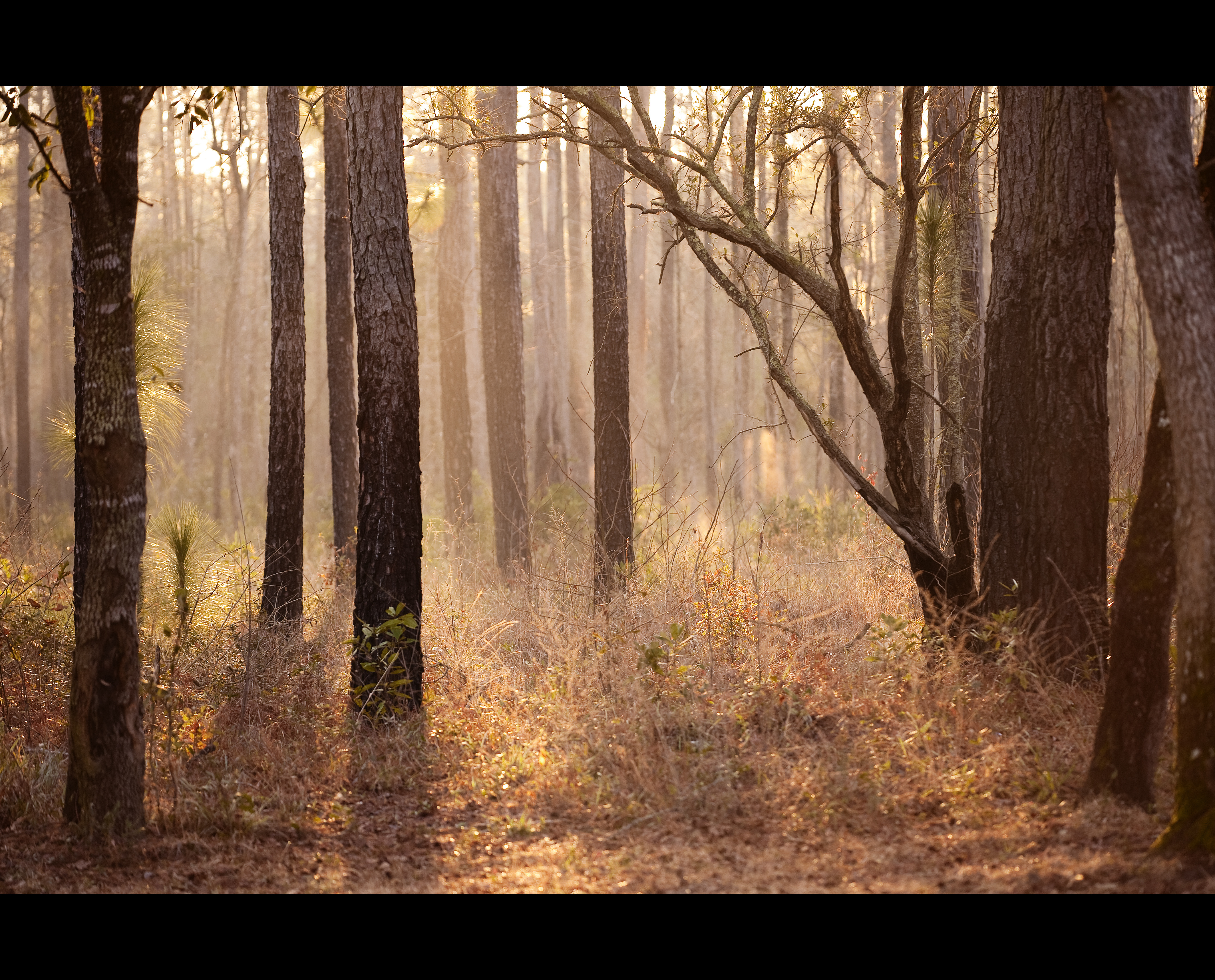
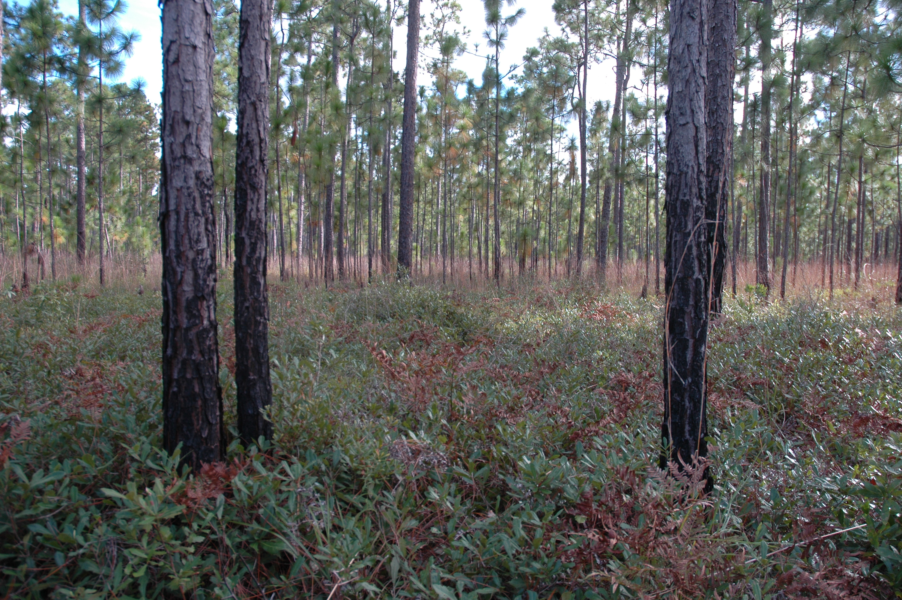
pine savanna
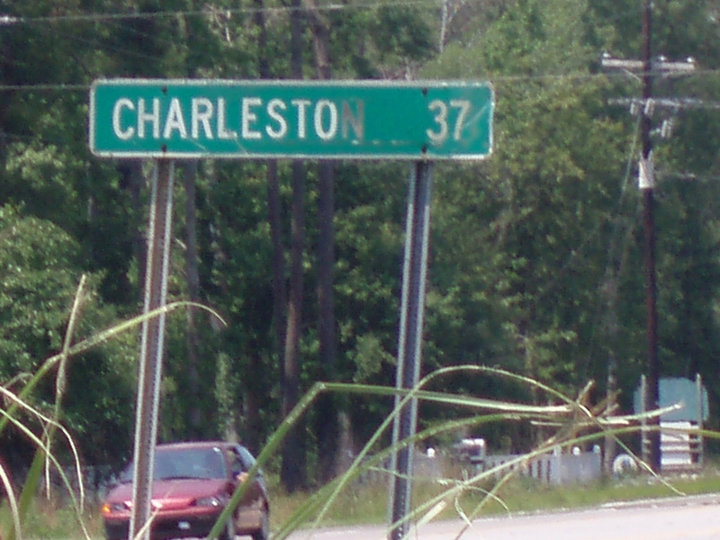
Thirty-seven miles to Charleston
S-XP by herself
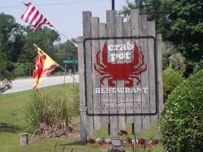
...from this reasturant
Let's have a crabcake
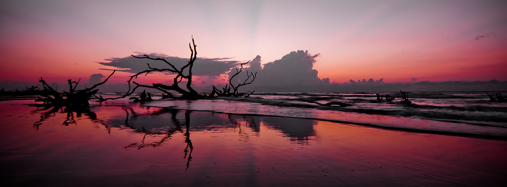
Panoramic reflections
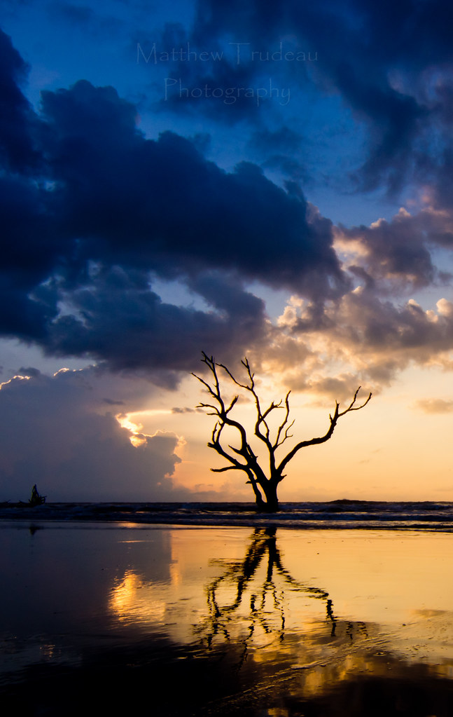
Bonyard Beach
IMG_0748A misty morning at Bulls Bay
Day 1091 - Morning Fog

American Alligator
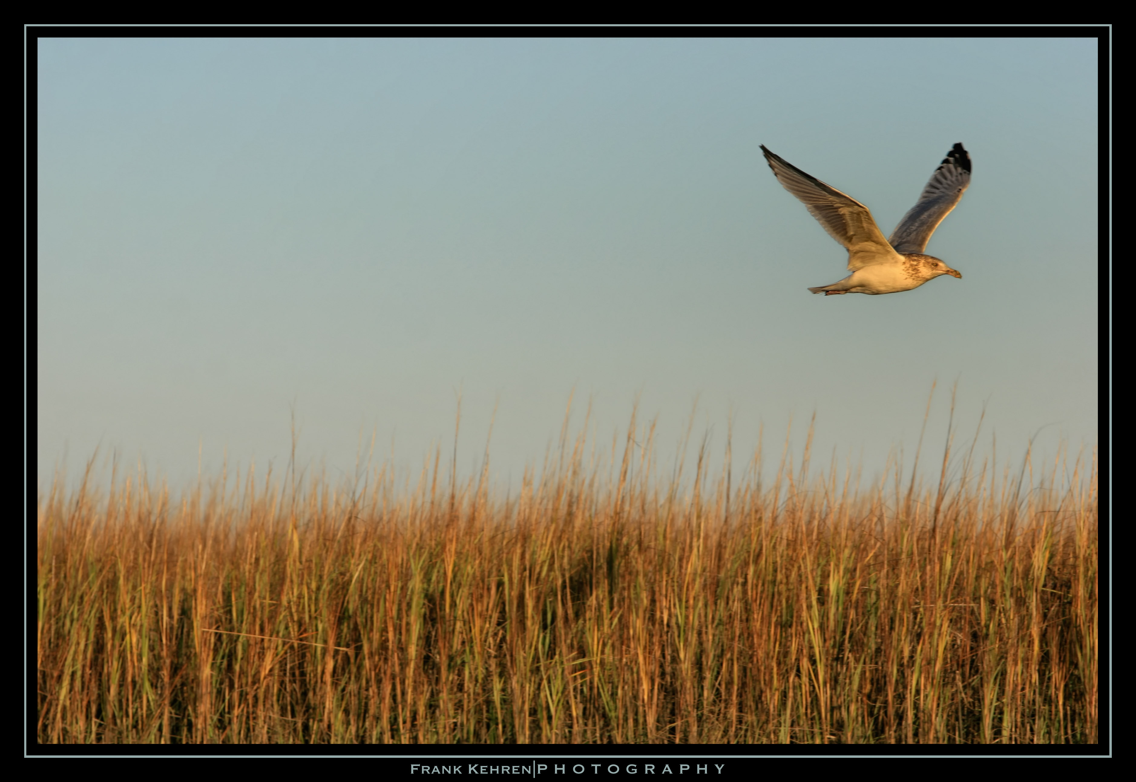
Herring Gull lift-off (8)
Garris Landing, Cape Romain National Wildlife Refuge

Sewee Shell Ring Boardwalk HDR
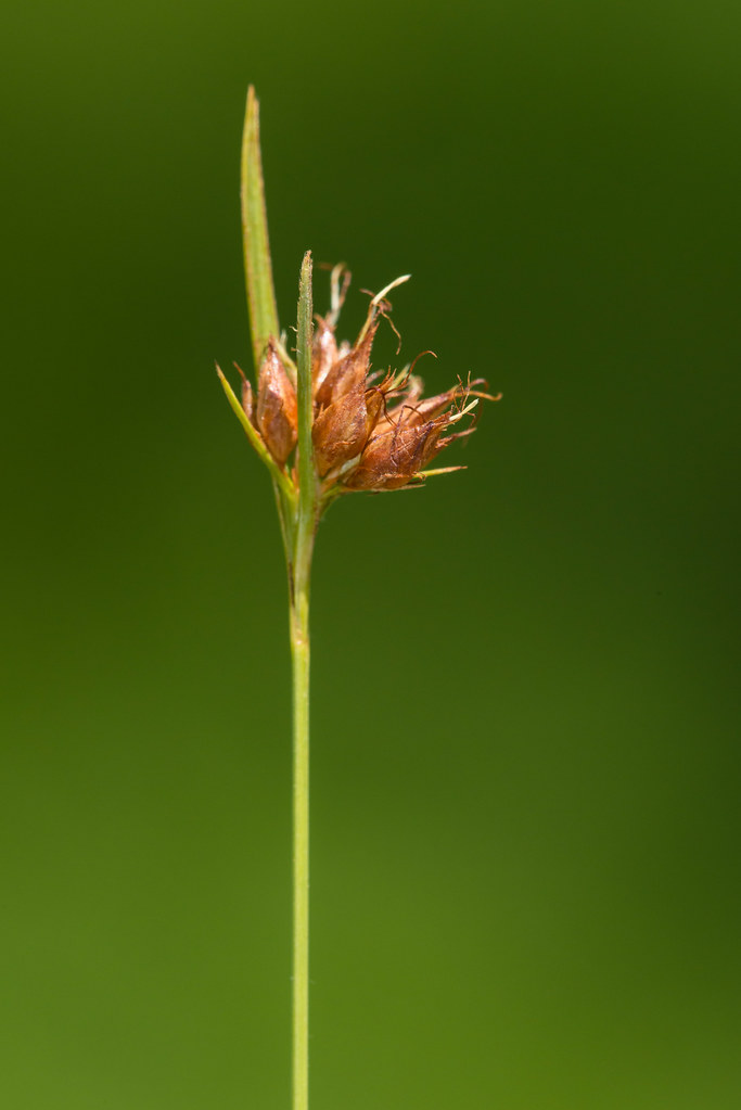
Rhynchospora ciliaris (Fringed Beaksedge)
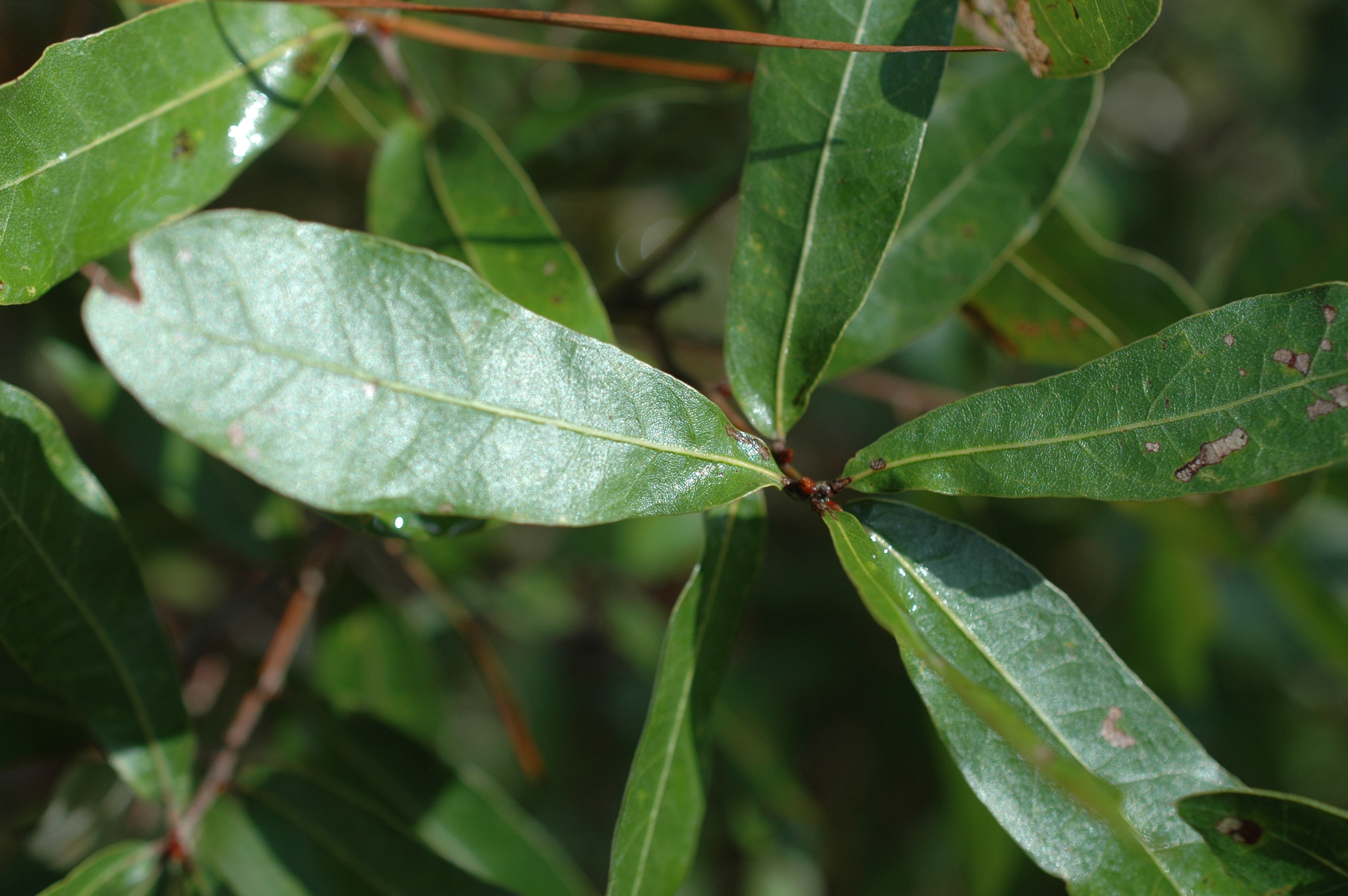
Quercus elliottii

Eclipse Day Fish Eye
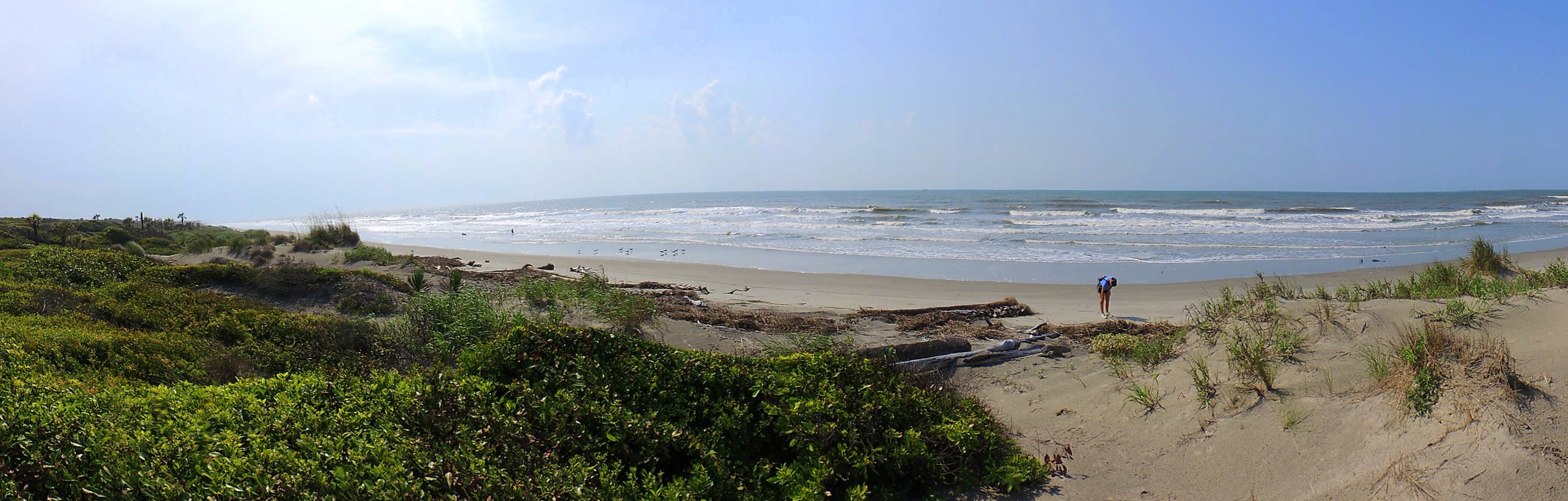
Bull's Island Beach

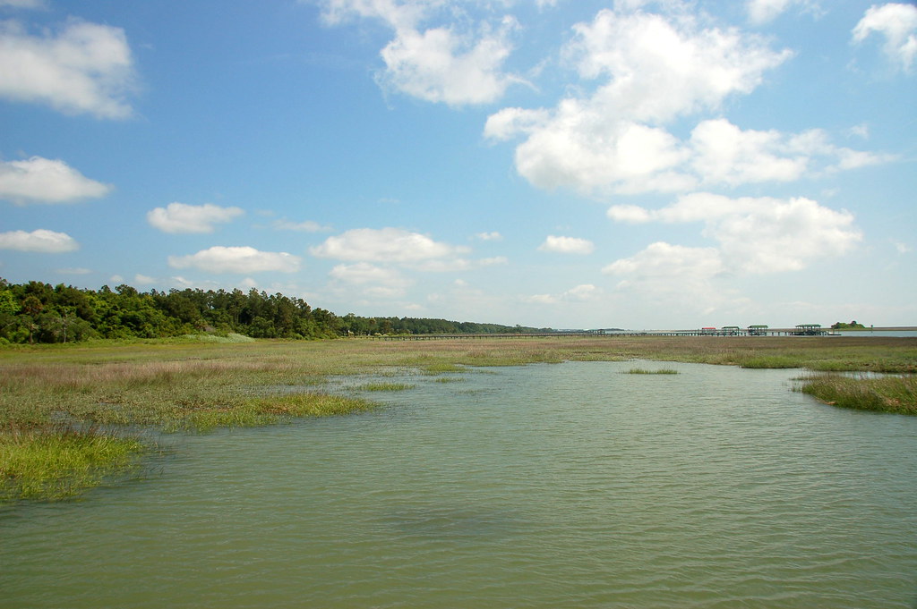
Bulls Bay, SC

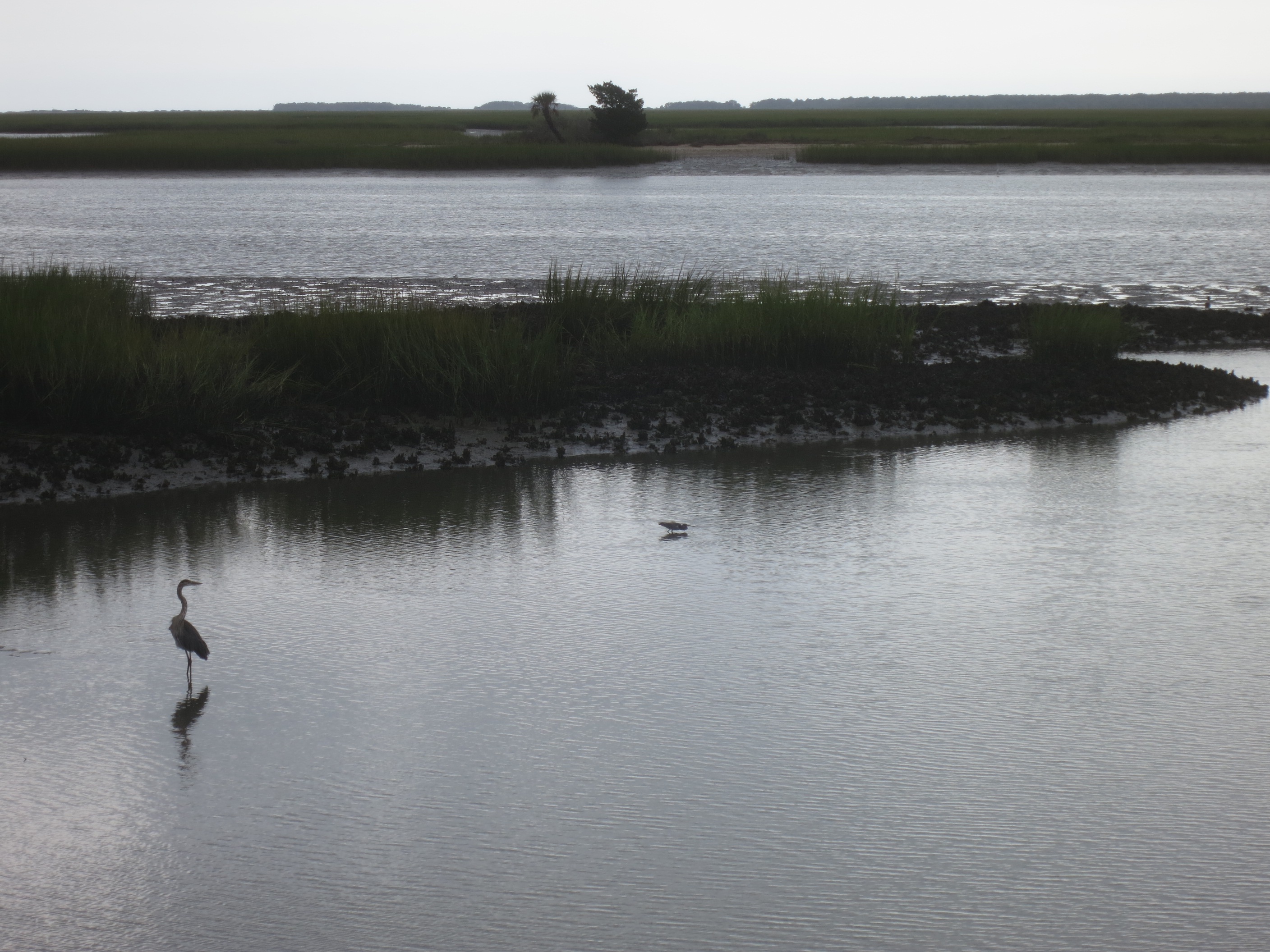
White Egret and Gator
Quercus minima
Spiranthes odorata (Fragrant ladies'-tresses orchid) habitat

Controlled Burn

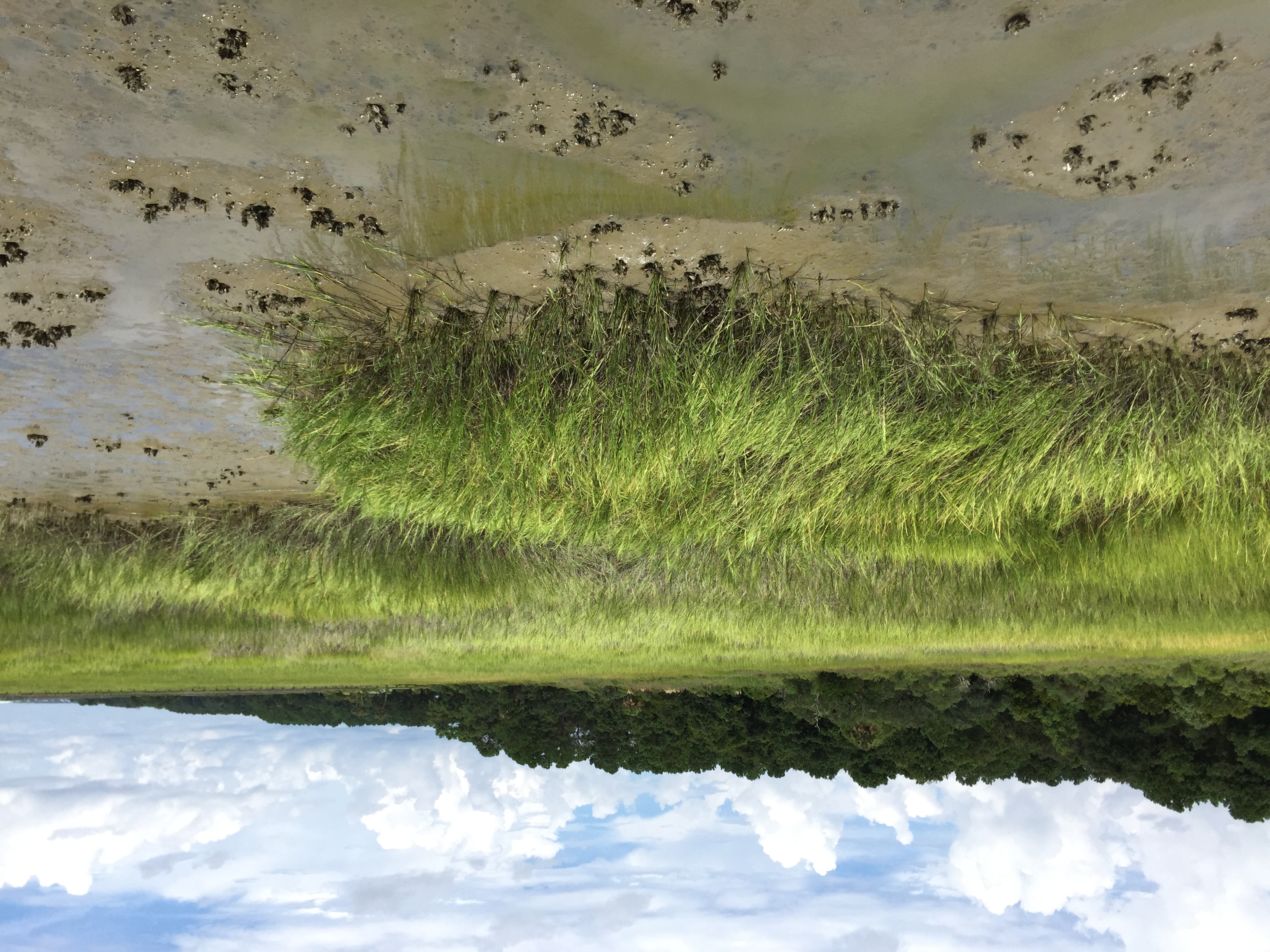
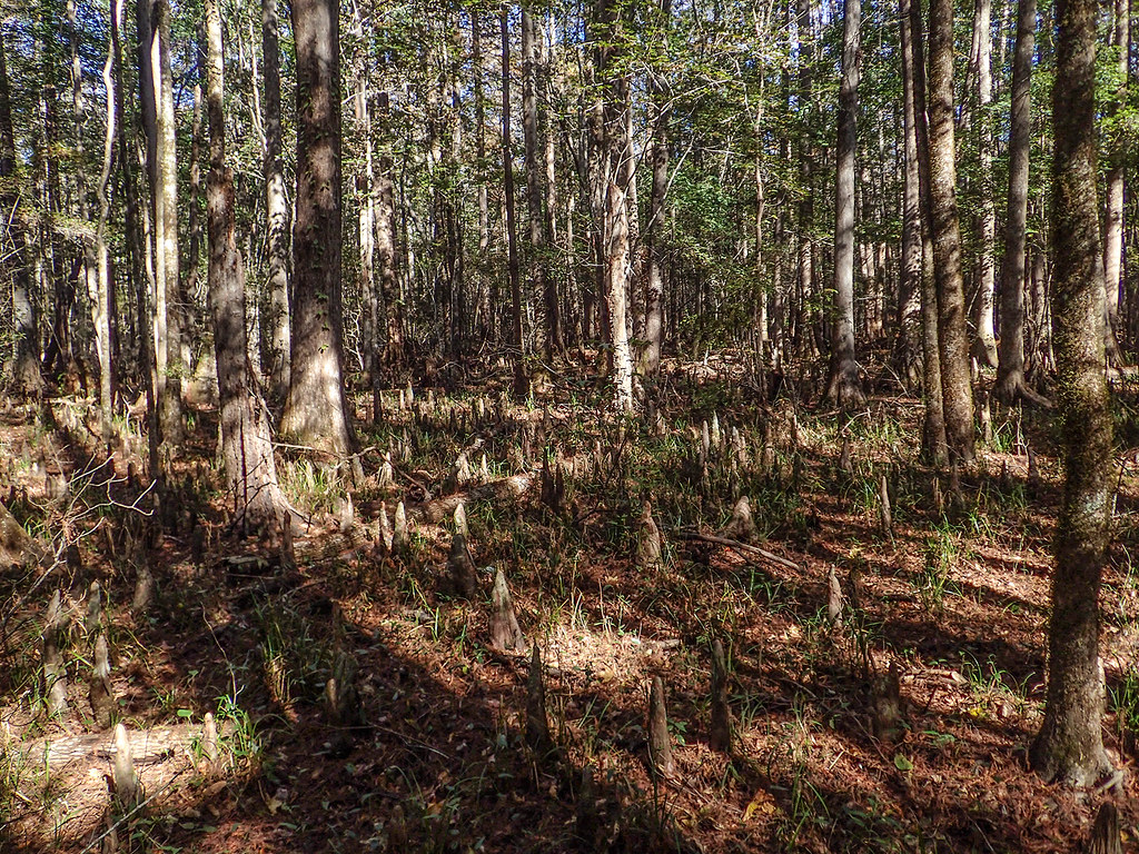
Wetlands on Bull Island SC
Cape Romaine
Topographic Map of Murrell Rd, Awendaw, SC, USA
Find elevation by address:

Places near Murrell Rd, Awendaw, SC, USA:
Awendaw
8540 Doar Rd
1200 Thames Rd
Gull Bay Drive
Pelican Bay Drive
1099 Buckhall Landing Rd
6971 Seewee Rd
6384 Maxville Rd
Grannys Lane
6454 Come About Way
6418 Come About Way
Seewee Road & Come About Way
6308 Come About Way
6302 Come About Way
Morants Point
6124 Rudder Ln
6150 Jibe Ct
6155 Caravelle Ct
6037 Jibe Ct
Bulls Island Road
Recent Searches:
- Elevation of Congressional Dr, Stevensville, MD, USA
- Elevation of Bellview Rd, McLean, VA, USA
- Elevation of Stage Island Rd, Chatham, MA, USA
- Elevation of Shibuya Scramble Crossing, 21 Udagawacho, Shibuya City, Tokyo -, Japan
- Elevation of Jadagoniai, Kaunas District Municipality, Lithuania
- Elevation of Pagonija rock, Kranto 7-oji g. 8"N, Kaunas, Lithuania
- Elevation of Co Rd 87, Jamestown, CO, USA
- Elevation of Tenjo, Cundinamarca, Colombia
- Elevation of Côte-des-Neiges, Montreal, QC H4A 3J6, Canada
- Elevation of Bobcat Dr, Helena, MT, USA