Elevation of Rudder Ln, Awendaw, SC, USA
Location: United States > South Carolina > Charleston County > Awendaw >
Longitude: -79.650122
Latitude: 32.95121
Elevation: 8m / 26feet
Barometric Pressure: 101KPa
Elevation Map:
Satellite Map:
Related Photos:
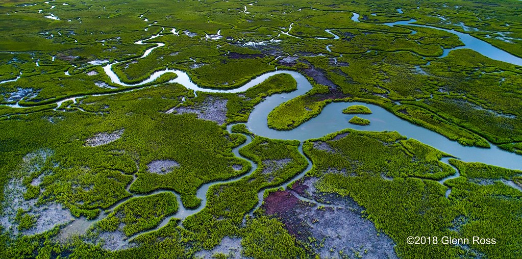
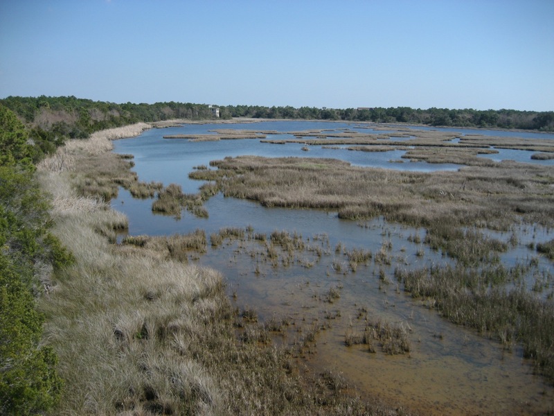
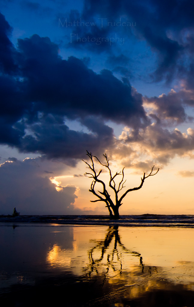
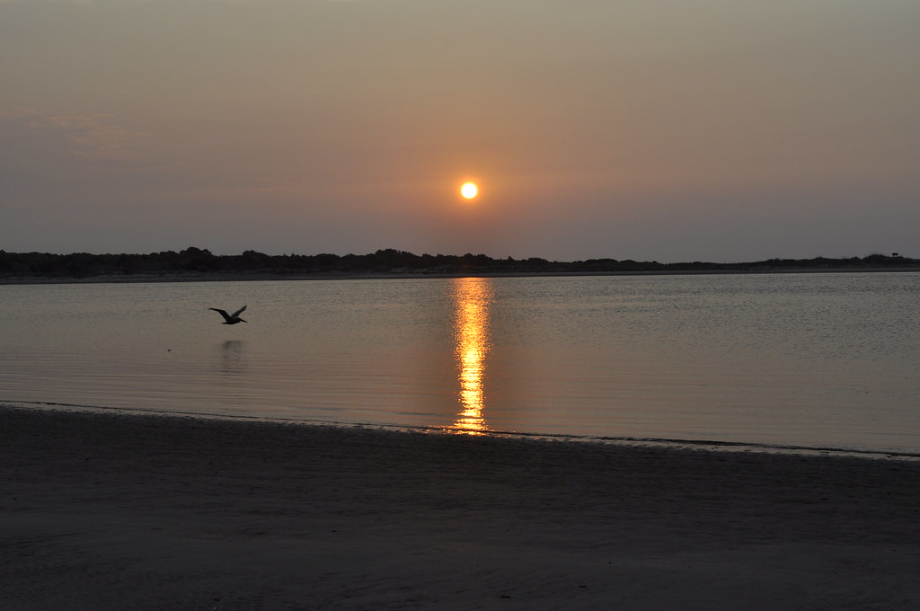
Copahee Sound
get-attachment.aspx7
get-attachment.aspx8

Soccer Ball's View

Mischievous Bird Grasshopper (Schistocerca damnifica)
Lean when you have no kick stand
get-attachment.aspx9.jpeg

Sometimes the fishing is so good we just cruise around for the last hour. We loaded up on redfish yesterday and then checked out some sights. Here's a unique view of the Yorktown seen from the water! #Charleston #travel #harbortour #sc #mtpleasant #rig

bee-like robber fly (Laphria)

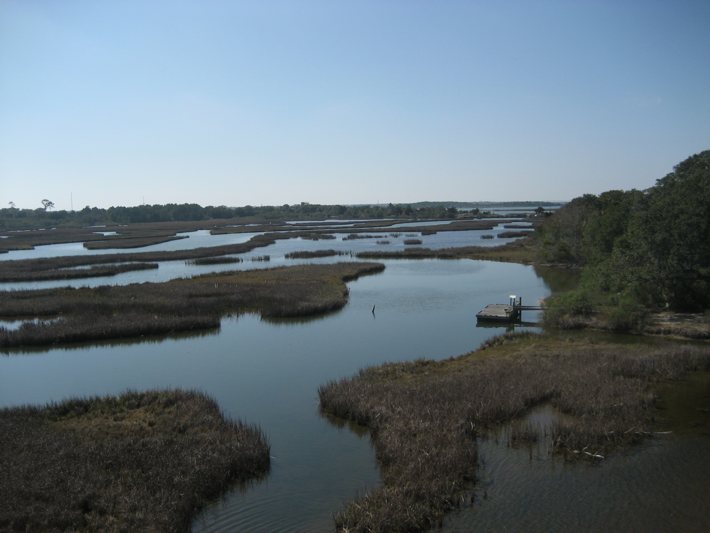
Sewee Shell Ring Boardwalk HDR
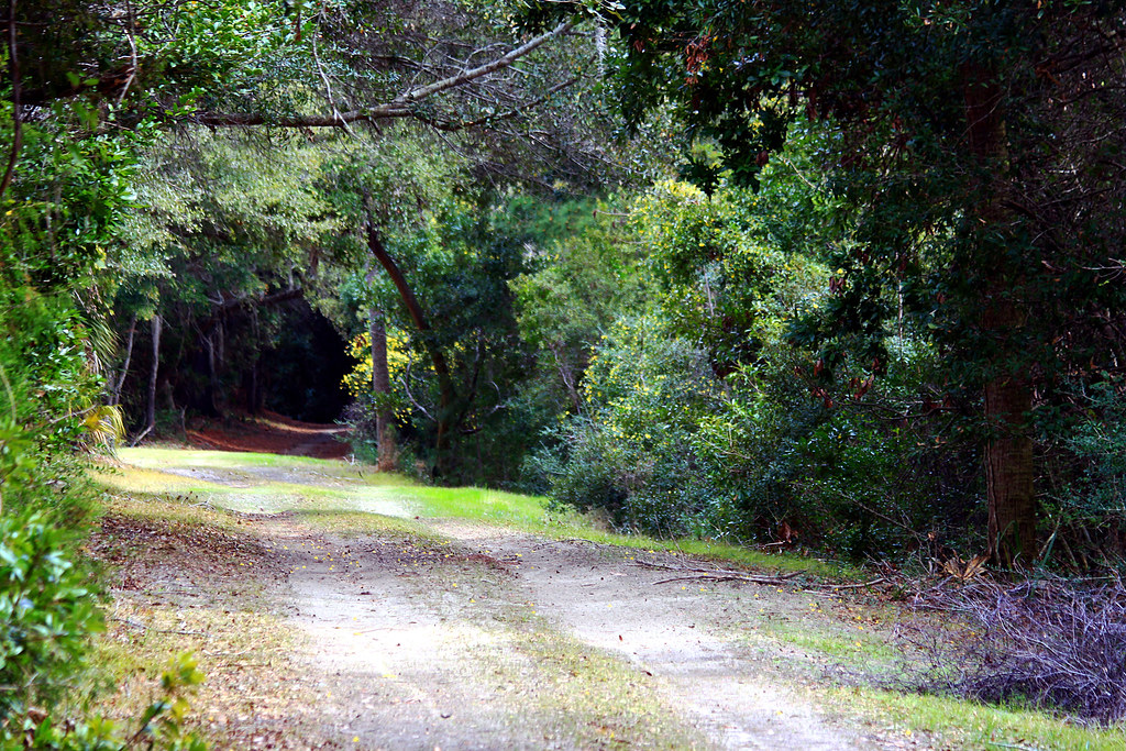
The Road Less Traveled
Day 1091 - Morning Fog
Soft breeze
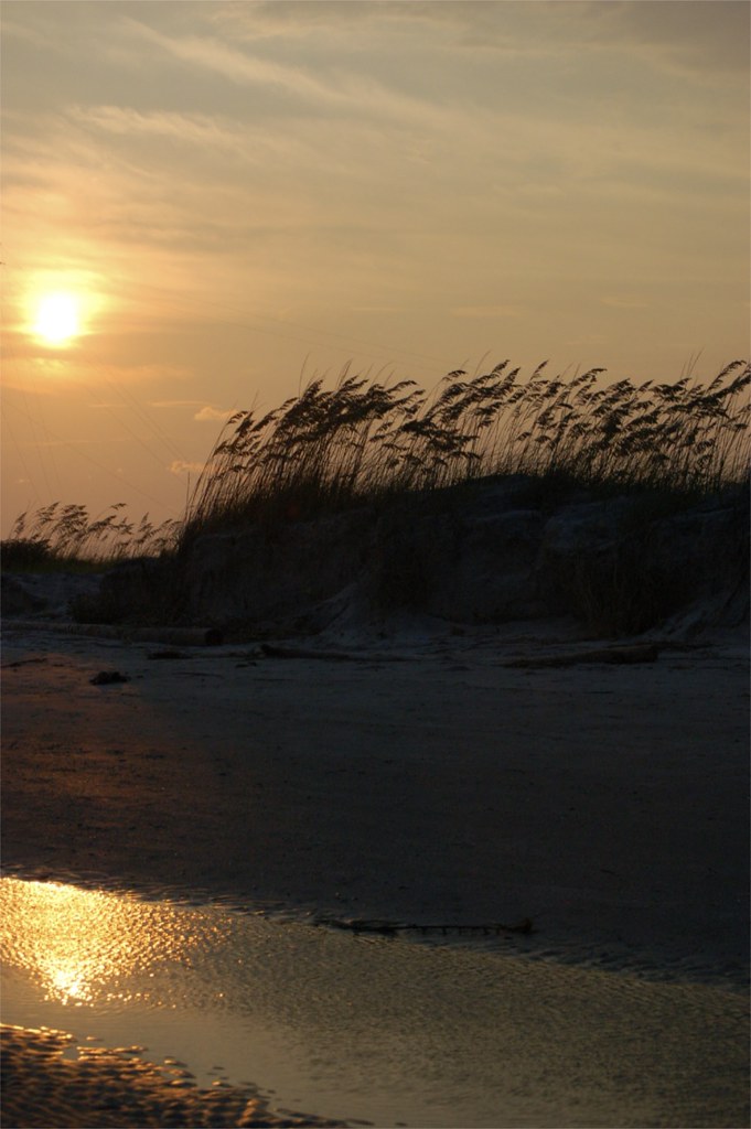
Bonyard Beach

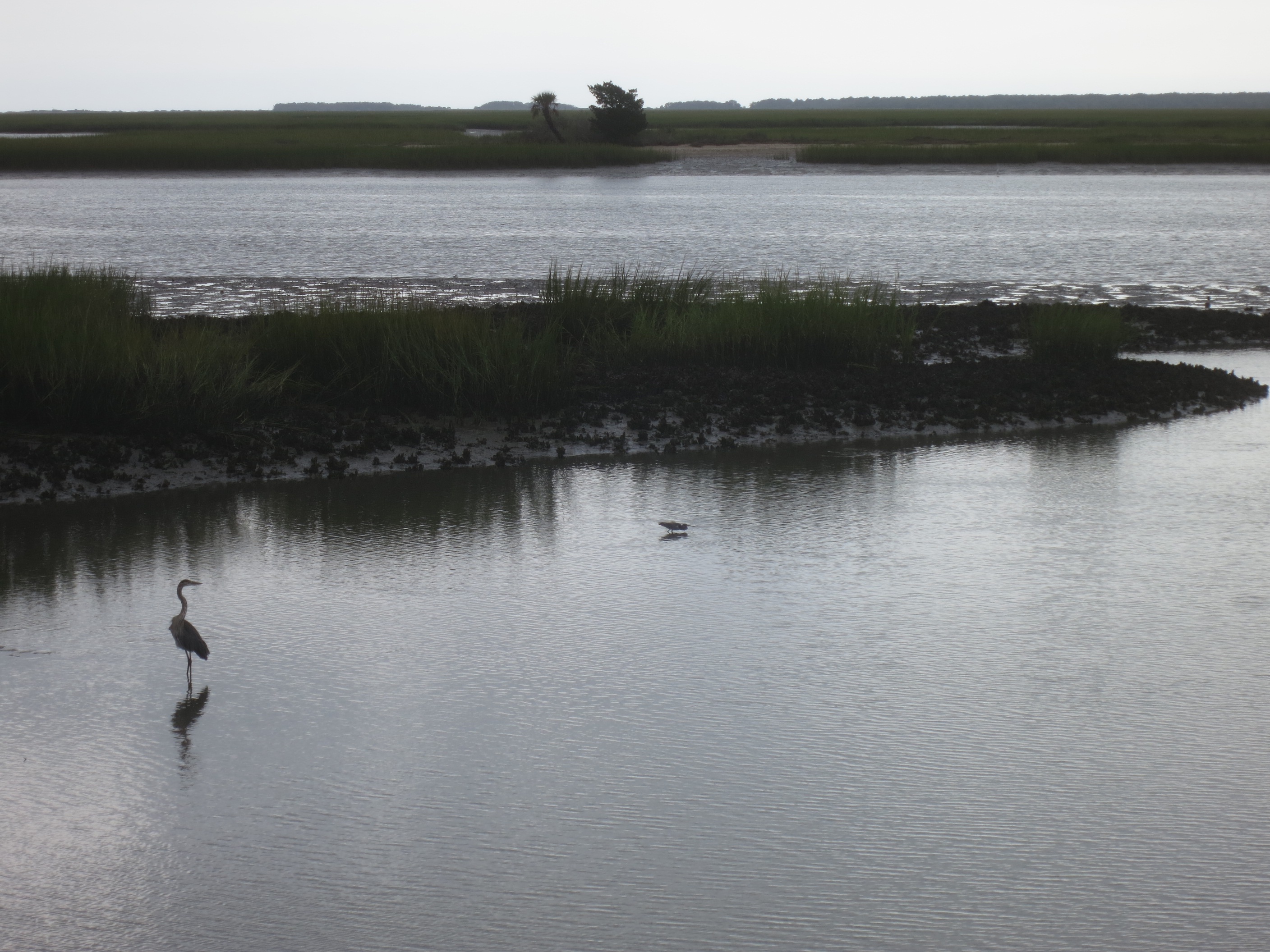
Morning Marsh-075901 (on explore 9/28/2013)
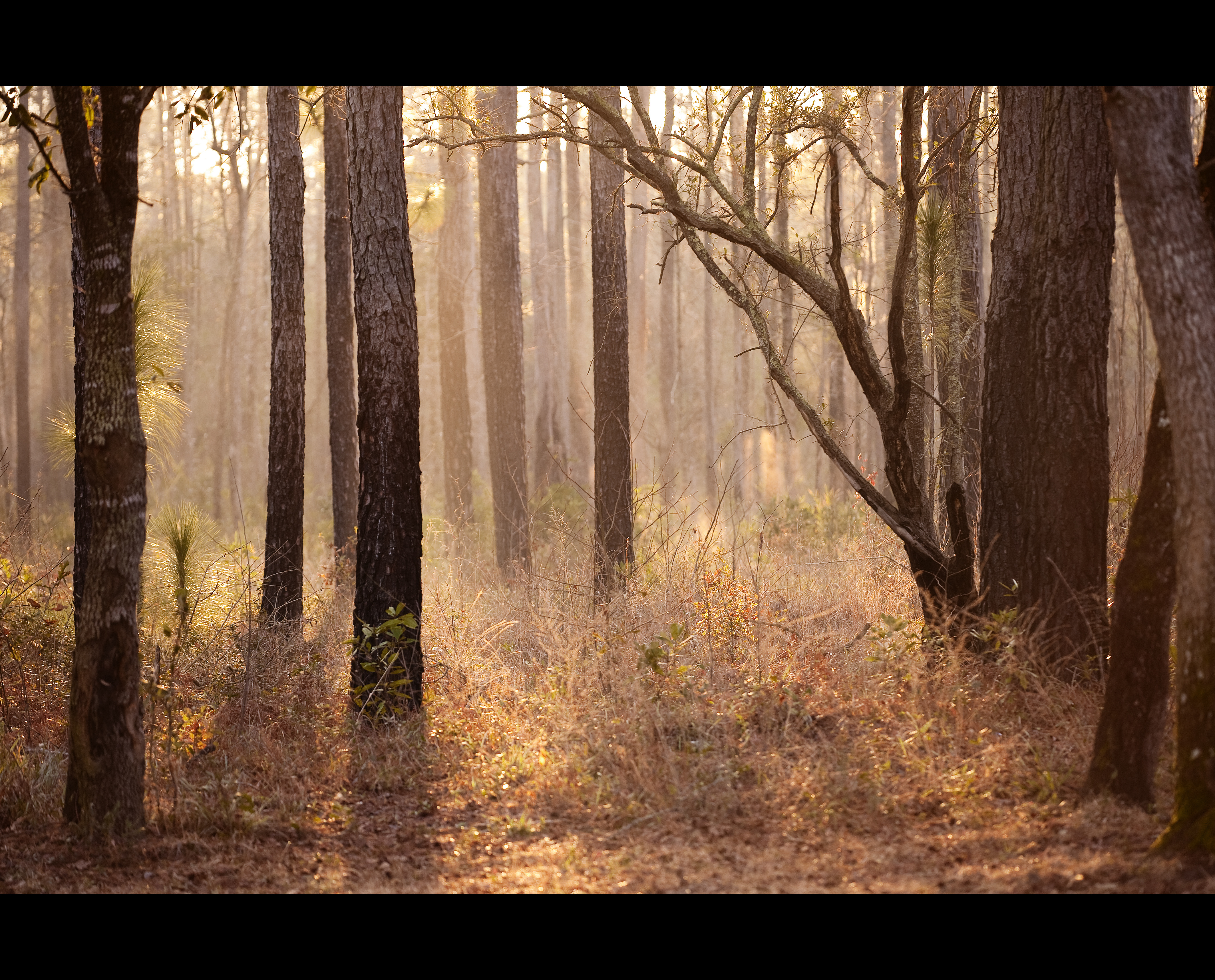
IMG_0748A misty morning at Bulls Bay
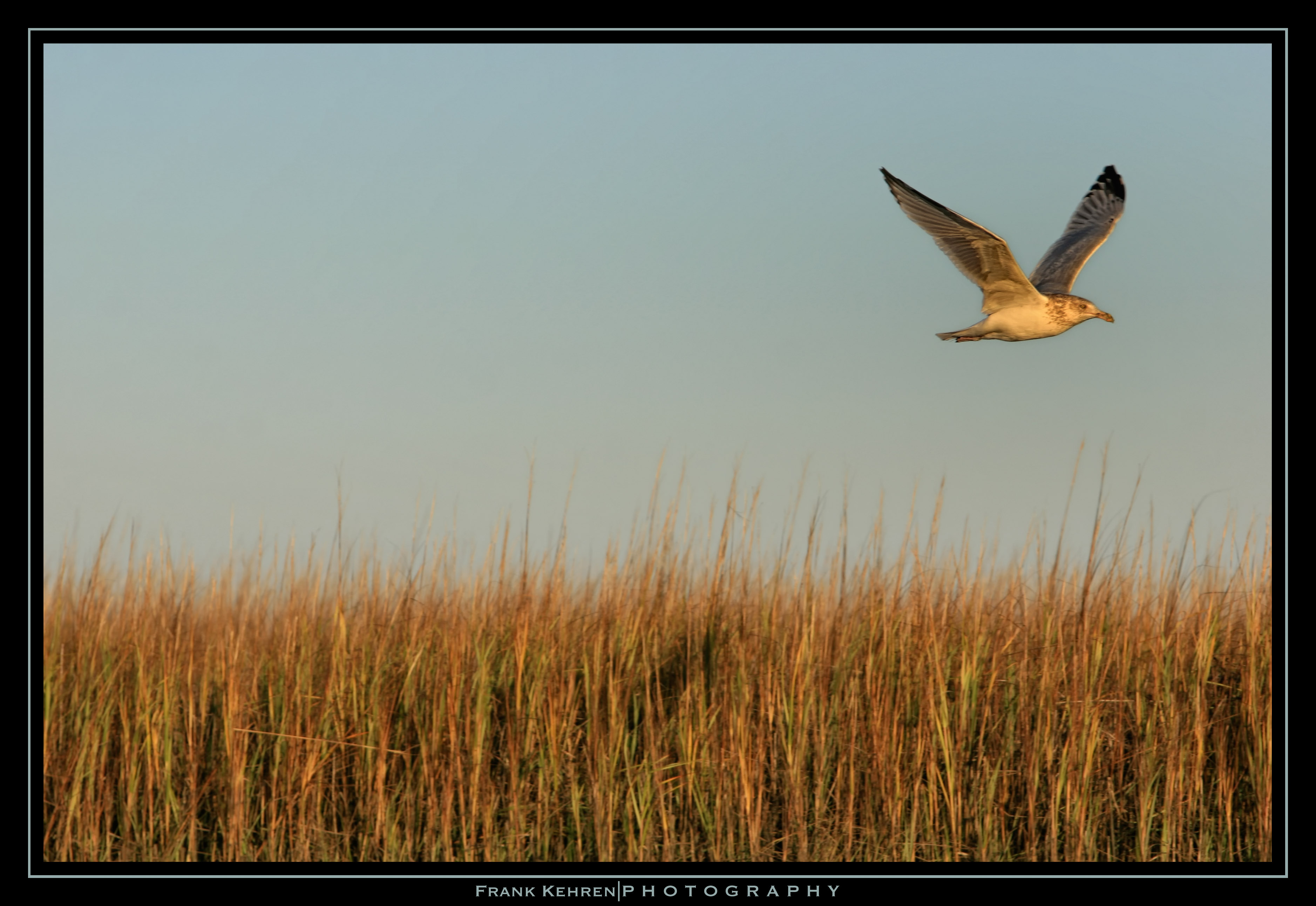
Herring Gull lift-off (8)
Garris Landing, Cape Romain National Wildlife Refuge
Morning Sunrise
Morning Sunrise 2
Caper Island October 11-12 2008 (154)

Caper Island October 11-12 2008 (17)

Caper Island October 11-12 2008 (5)
Topographic Map of Rudder Ln, Awendaw, SC, USA
Find elevation by address:

Places near Rudder Ln, Awendaw, SC, USA:
6155 Caravelle Ct
6150 Jibe Ct
6037 Jibe Ct
6302 Come About Way
6308 Come About Way
6418 Come About Way
Bulls Island Road
Seewee Road & Come About Way
6454 Come About Way
Grannys Lane
6384 Maxville Rd
6971 Seewee Rd
905 Ralph Nesbit Rd
6594 N Hwy 17
4827 Seewee Rd
1343 15 Mile Landing Rd
762 Bulls Bay Blvd
811 Bulls Bay Blvd
Pelican Bay Drive
Gull Bay Drive
Recent Searches:
- Elevation of Elwyn Dr, Roanoke Rapids, NC, USA
- Elevation of Congressional Dr, Stevensville, MD, USA
- Elevation of Bellview Rd, McLean, VA, USA
- Elevation of Stage Island Rd, Chatham, MA, USA
- Elevation of Shibuya Scramble Crossing, 21 Udagawacho, Shibuya City, Tokyo -, Japan
- Elevation of Jadagoniai, Kaunas District Municipality, Lithuania
- Elevation of Pagonija rock, Kranto 7-oji g. 8"N, Kaunas, Lithuania
- Elevation of Co Rd 87, Jamestown, CO, USA
- Elevation of Tenjo, Cundinamarca, Colombia
- Elevation of Côte-des-Neiges, Montreal, QC H4A 3J6, Canada