Elevation of Morants Point, South Carolina, USA
Location: United States > South Carolina > Charleston County > Awendaw >
Longitude: -79.525622
Latitude: 33.0371143
Elevation: 1m / 3feet
Barometric Pressure: 101KPa
Elevation Map:
Satellite Map:
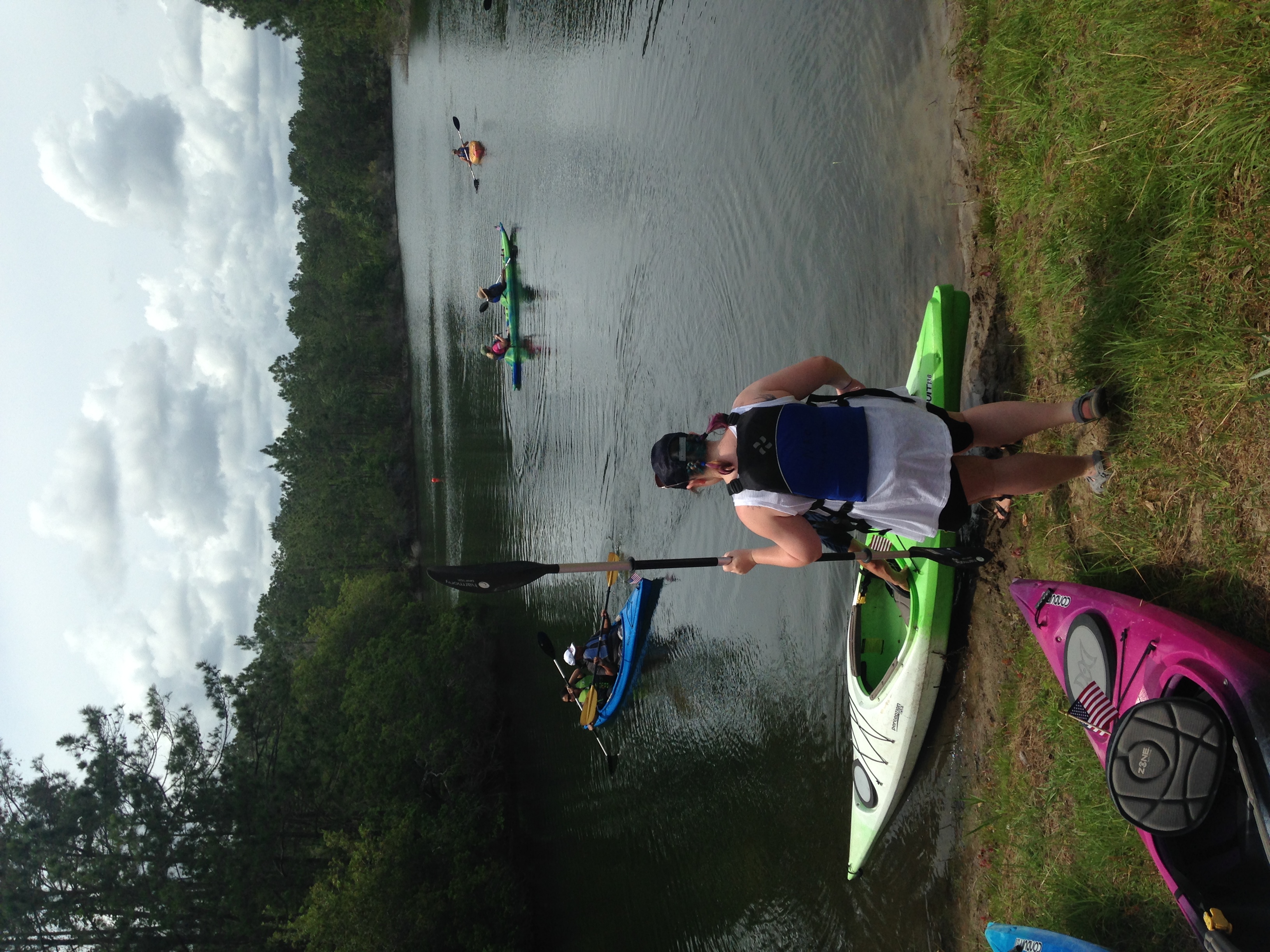
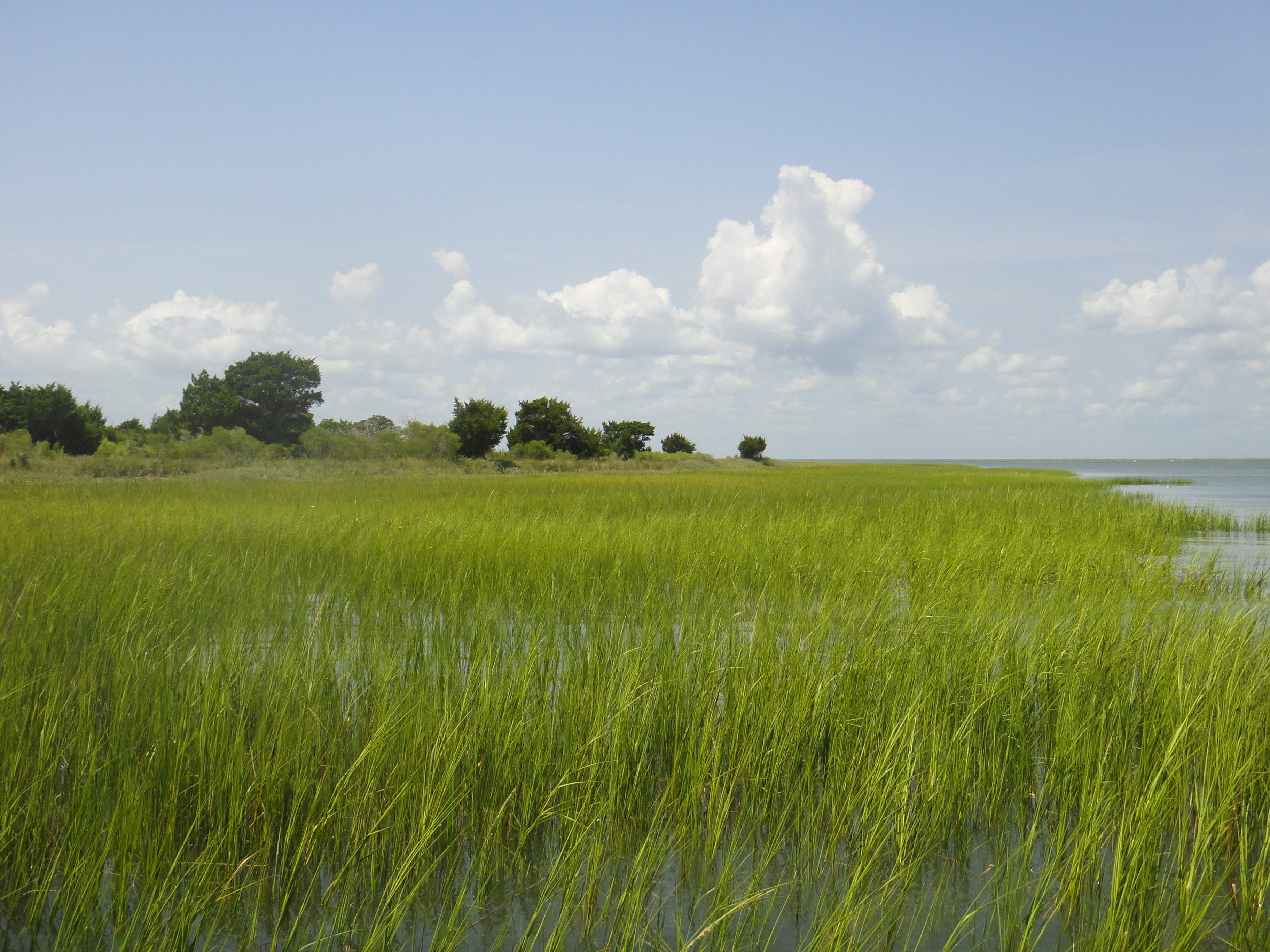
Related Photos:

deceased possum

pine savanna

Cape Romain Light

S-XP by herself

Thirty-seven miles to Charleston

...from this reasturant

Let's have a crabcake

Sometimes the fishing is so good we just cruise around for the last hour. We loaded up on redfish yesterday and then checked out some sights. Here's a unique view of the Yorktown seen from the water! #Charleston #travel #harbortour #sc #mtpleasant #rig

at rest...

Francis Marion National Forest.

Controlled Burn

Day 1091 - Morning Fog

Sewee Shell Ring Boardwalk HDR

pine savanna

hedge-nettles of South Carolina

Buck Hall

Beautiful day #clouds #marsh

The path to the Cape Romain Lighthouses

Sewee Shell Ring Trail
2017_RTR_Charleston Widows 152

2017_RTR_Charleston Widows 166

Spooky Trees on the Sewee Trail
Cape Romain

Palmetto Trail - Charleston/Francis Marion NF

Quercus minima

Quercus minima

Serenity.
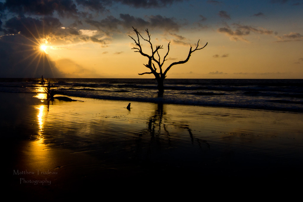
Boneyard Beach2
Topographic Map of Morants Point, South Carolina, USA
Find elevation by address:

Places near Morants Point, South Carolina, USA:
1099 Buckhall Landing Rd
Pelican Bay Drive
Gull Bay Drive
Awendaw
1129 Murrell Rd
8540 Doar Rd
1200 Thames Rd
6971 Seewee Rd
Grannys Lane
6384 Maxville Rd
6454 Come About Way
6418 Come About Way
6308 Come About Way
6302 Come About Way
Seewee Road & Come About Way
6124 Rudder Ln
6155 Caravelle Ct
6150 Jibe Ct
6037 Jibe Ct
Bulls Island Road
Recent Searches:
- Elevation of Congressional Dr, Stevensville, MD, USA
- Elevation of Bellview Rd, McLean, VA, USA
- Elevation of Stage Island Rd, Chatham, MA, USA
- Elevation of Shibuya Scramble Crossing, 21 Udagawacho, Shibuya City, Tokyo -, Japan
- Elevation of Jadagoniai, Kaunas District Municipality, Lithuania
- Elevation of Pagonija rock, Kranto 7-oji g. 8"N, Kaunas, Lithuania
- Elevation of Co Rd 87, Jamestown, CO, USA
- Elevation of Tenjo, Cundinamarca, Colombia
- Elevation of Côte-des-Neiges, Montreal, QC H4A 3J6, Canada
- Elevation of Bobcat Dr, Helena, MT, USA