Elevation of Muller Rd, Pe Ell, WA, USA
Location: United States > Washington > Lewis County > Pe Ell >
Longitude: -123.29887
Latitude: 46.56219
Elevation: 127m / 417feet
Barometric Pressure: 100KPa
Elevation Map:
Satellite Map:
Related Photos:

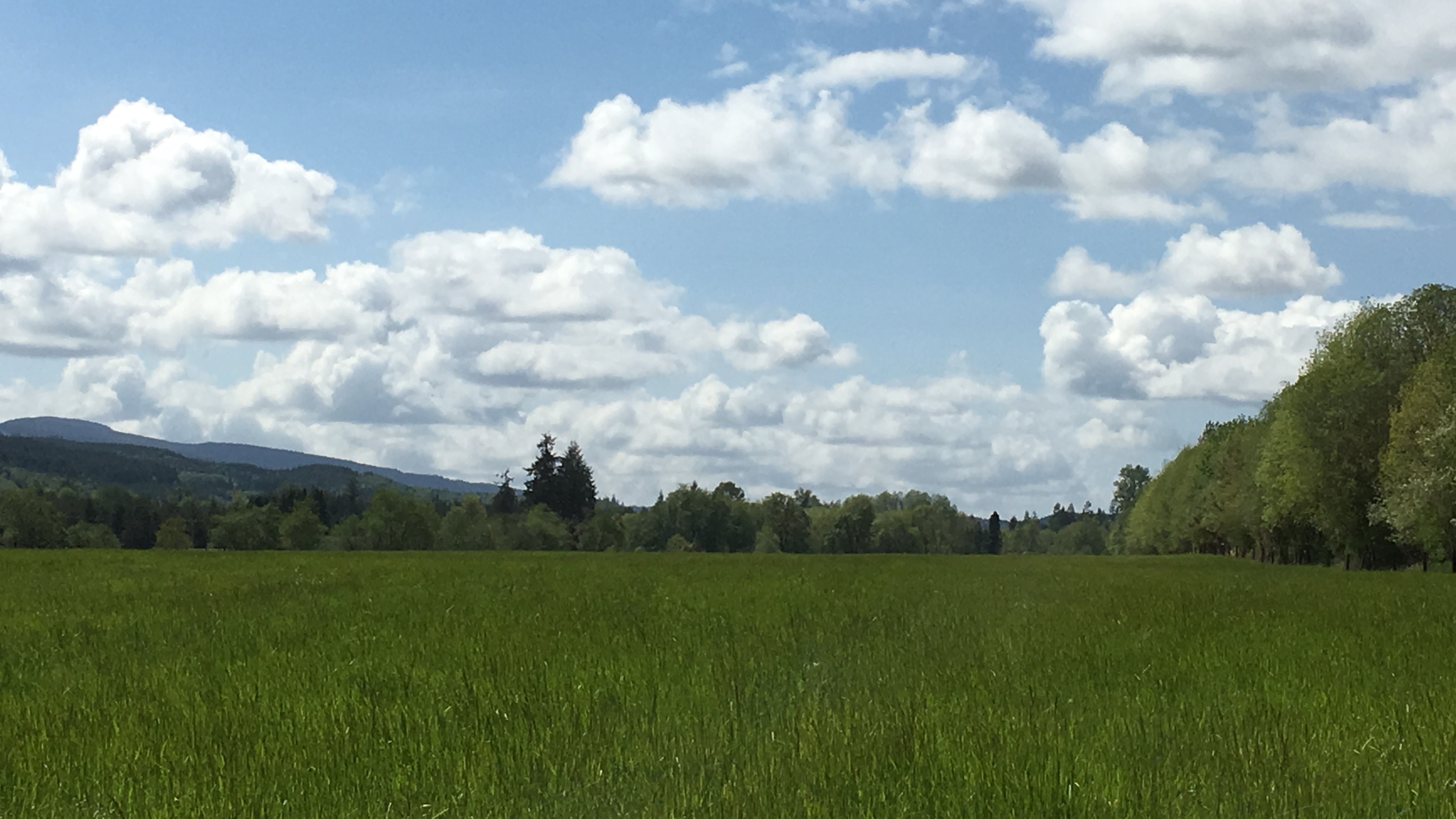
View From Our Camp Panoramic

View From Our Camp Panoramic

View From Our Camp
04252016-31

View From Our Camp Panoramic

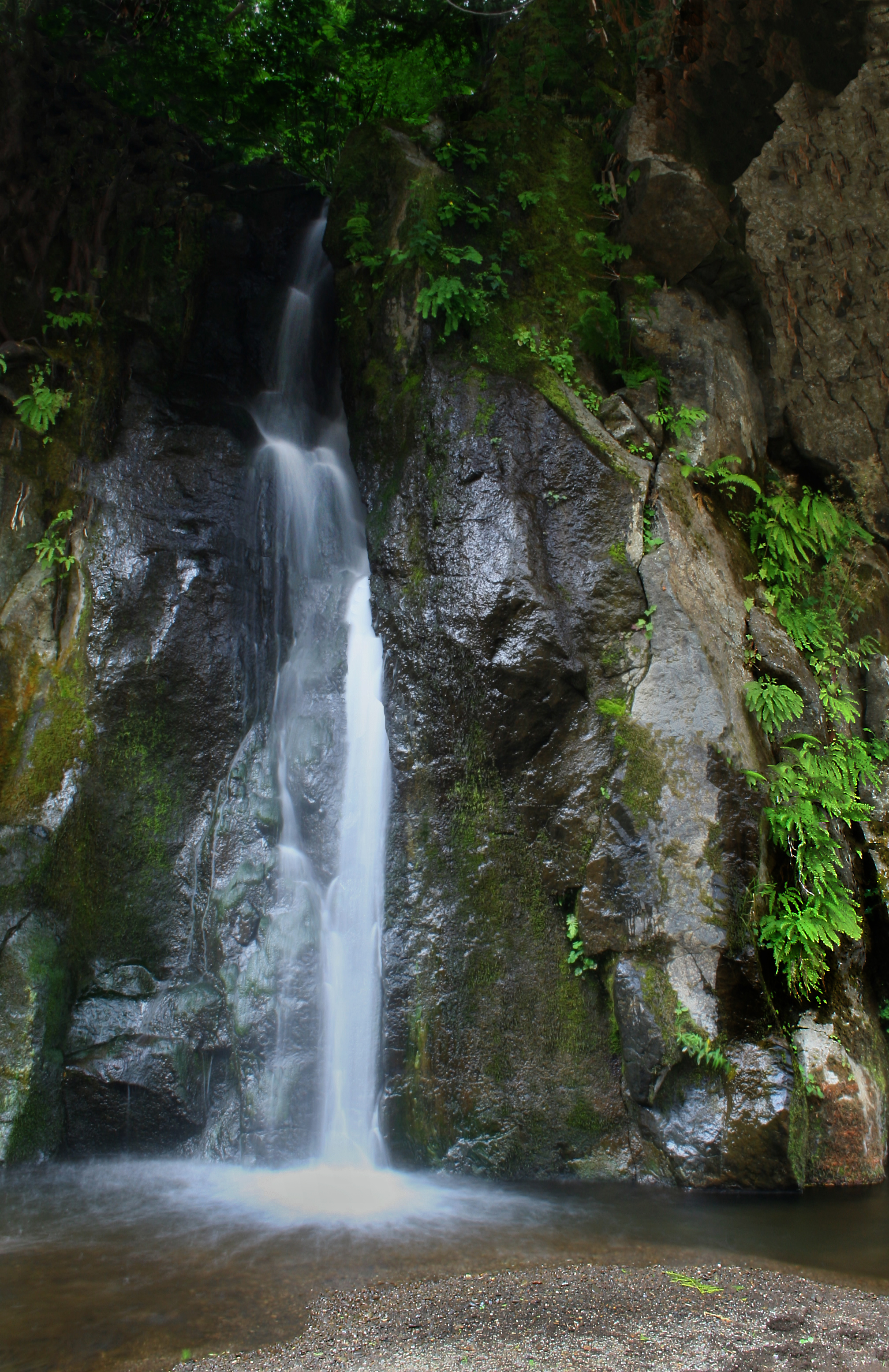
Rainbow Falls State Park No. 3, Washington, 2015
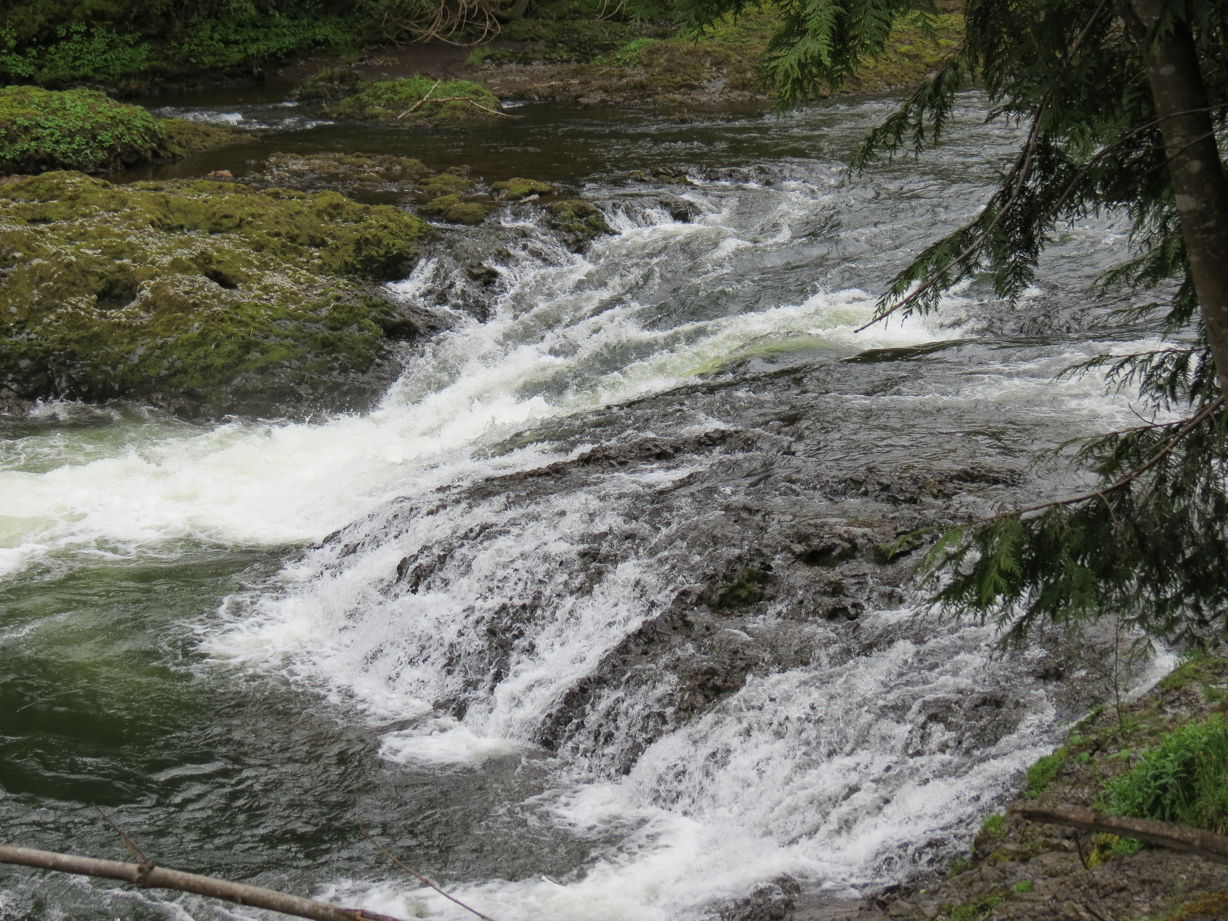
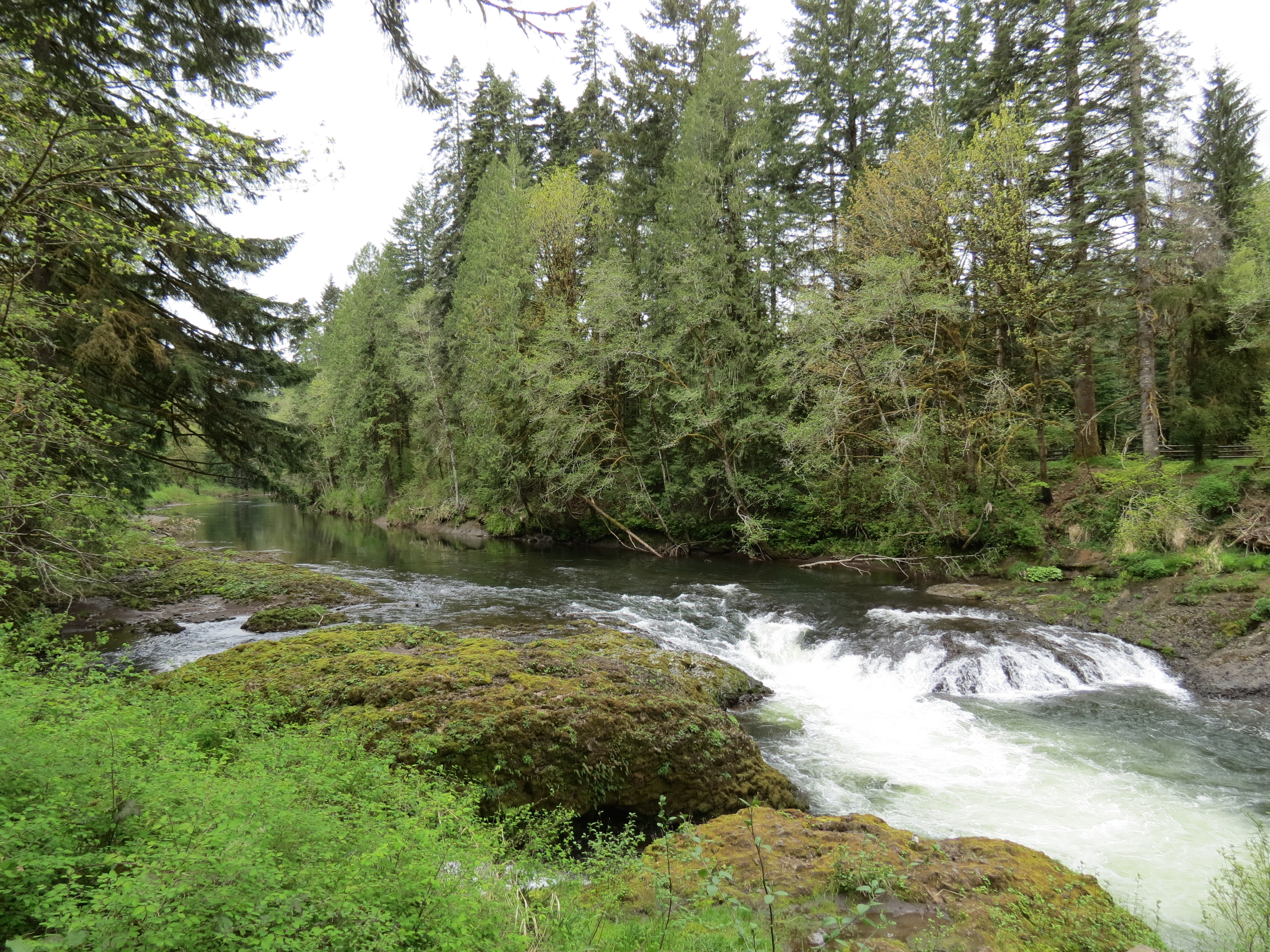
Waterfall Along the Chehalis River
Rainbow Falls State Park No. 2, Washington, 2015

Bald Eagle Down By The River

Rainbow Falls State Park No. 2, Washington, 2015

Rainbow Falls State Park No. 3, Washington, 2015
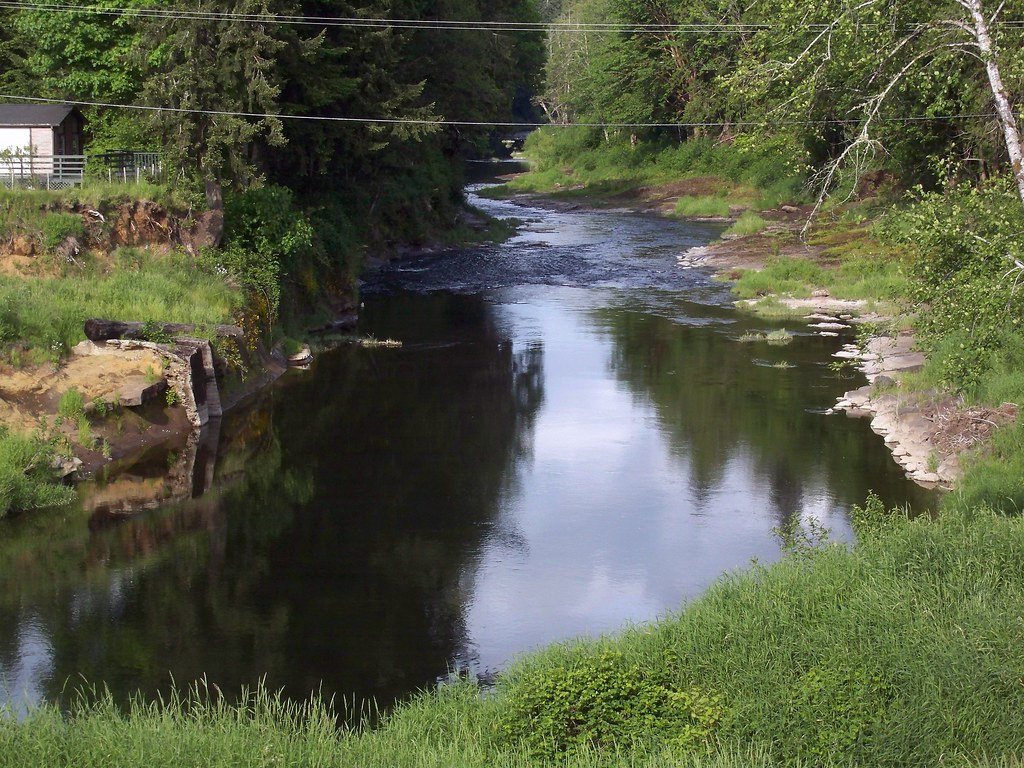
The lazy Chehalis River

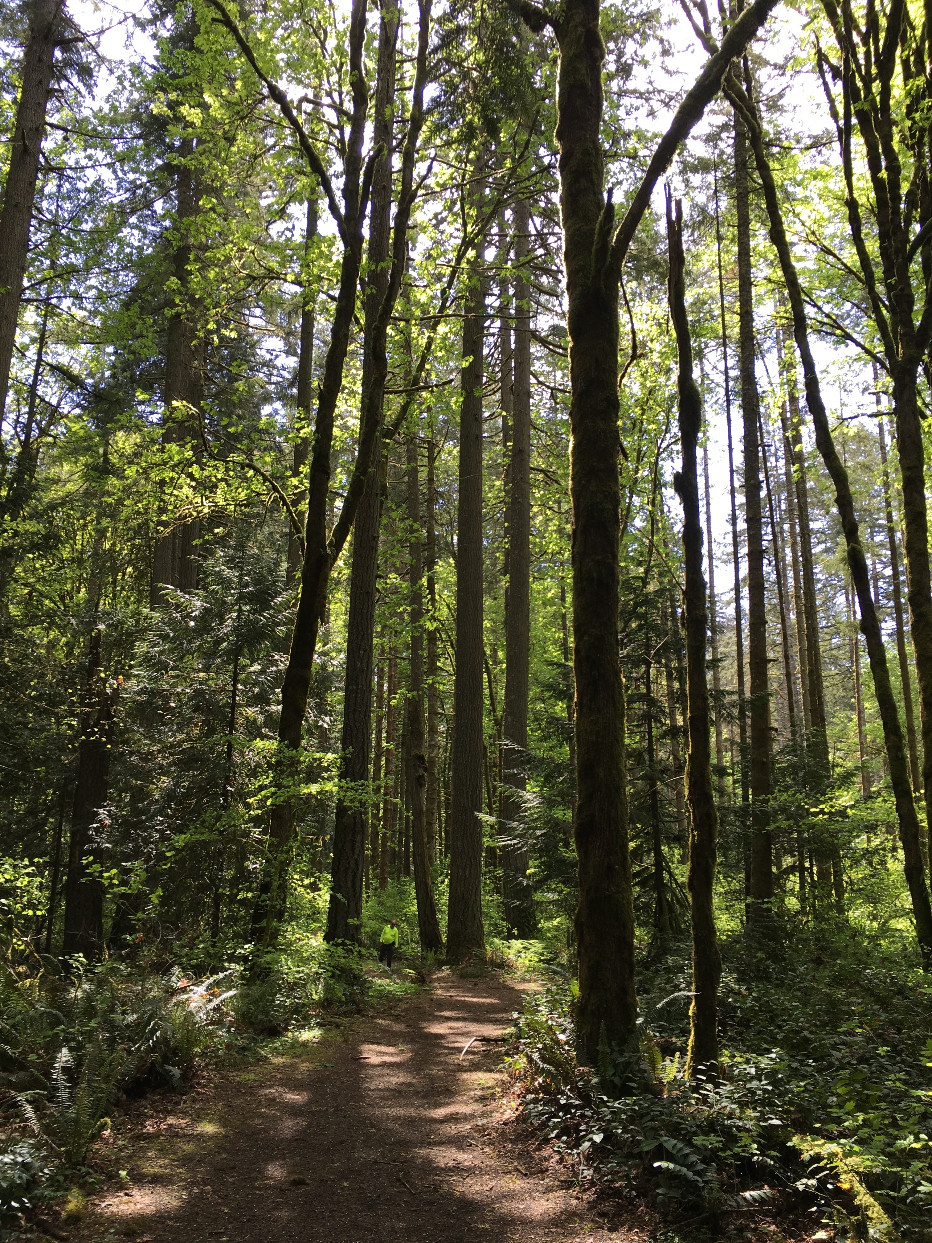
Rainbow Falls State Park

Rainbow Falls State Park
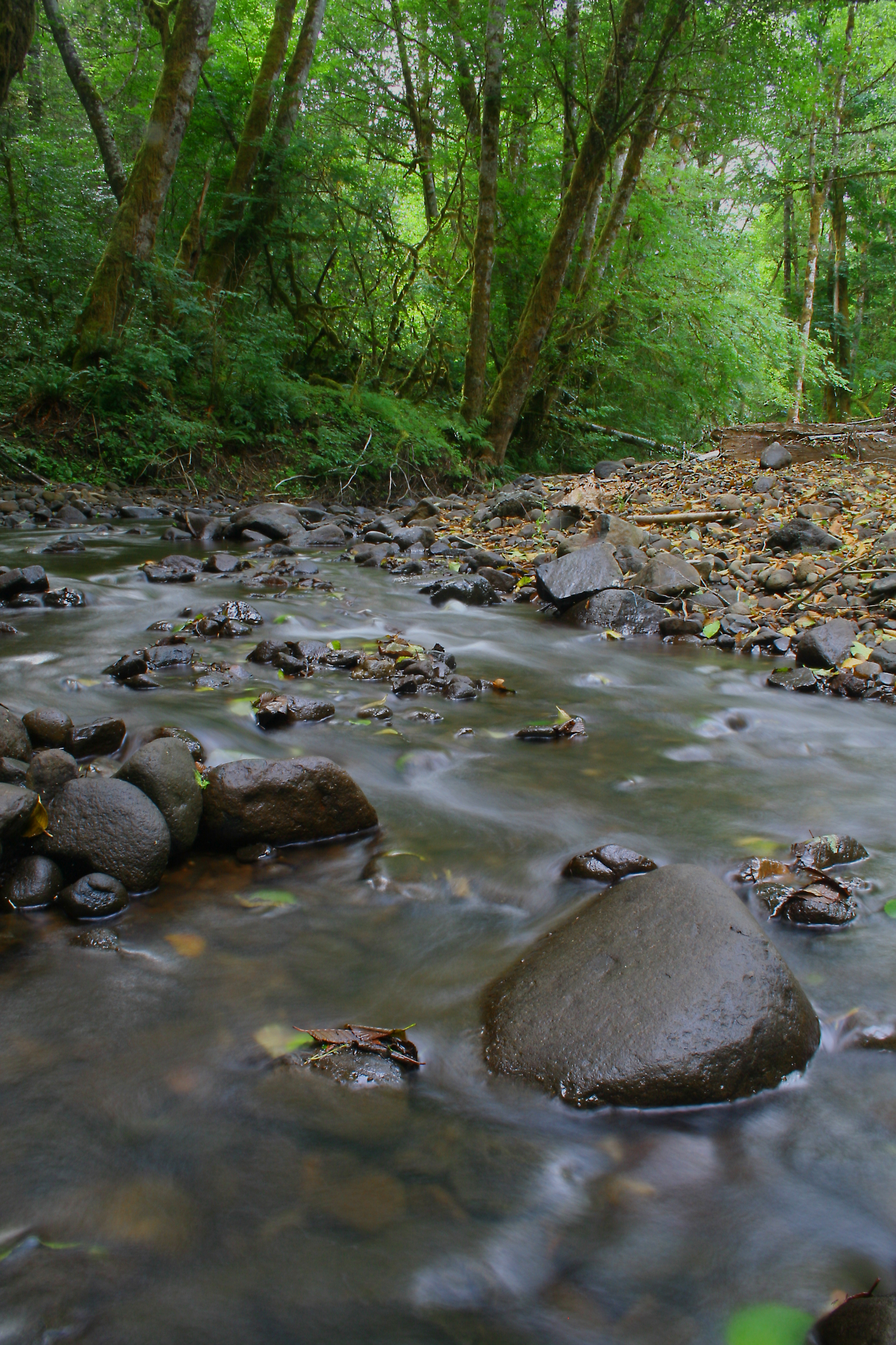
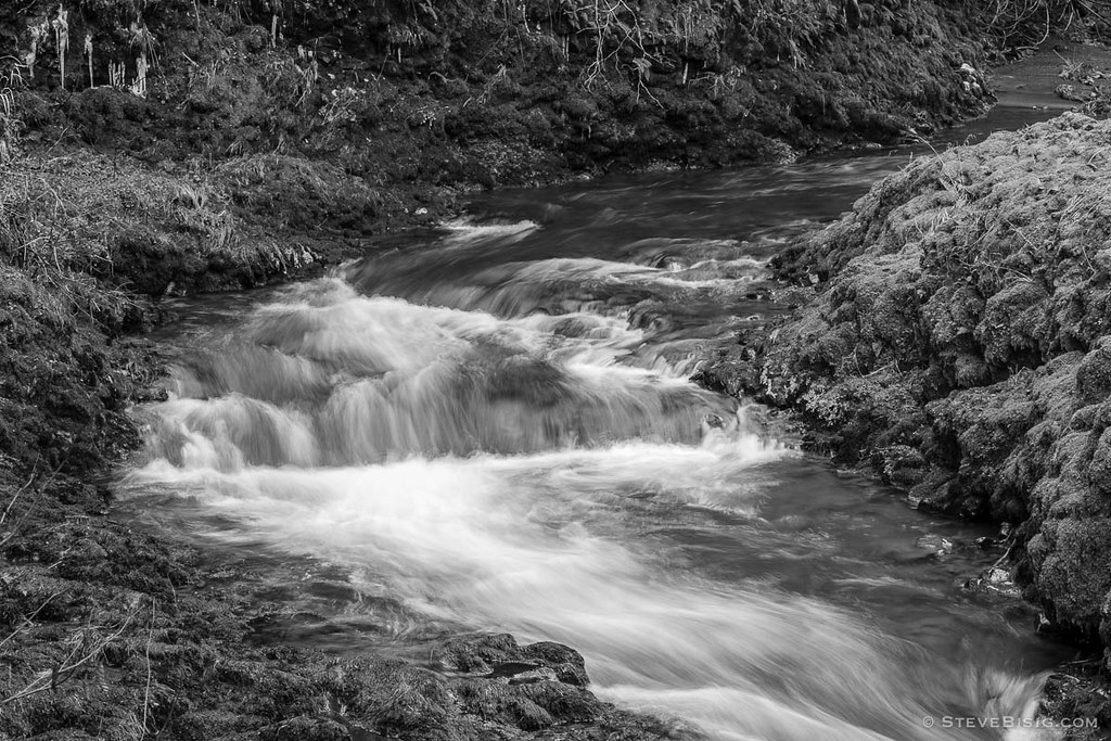
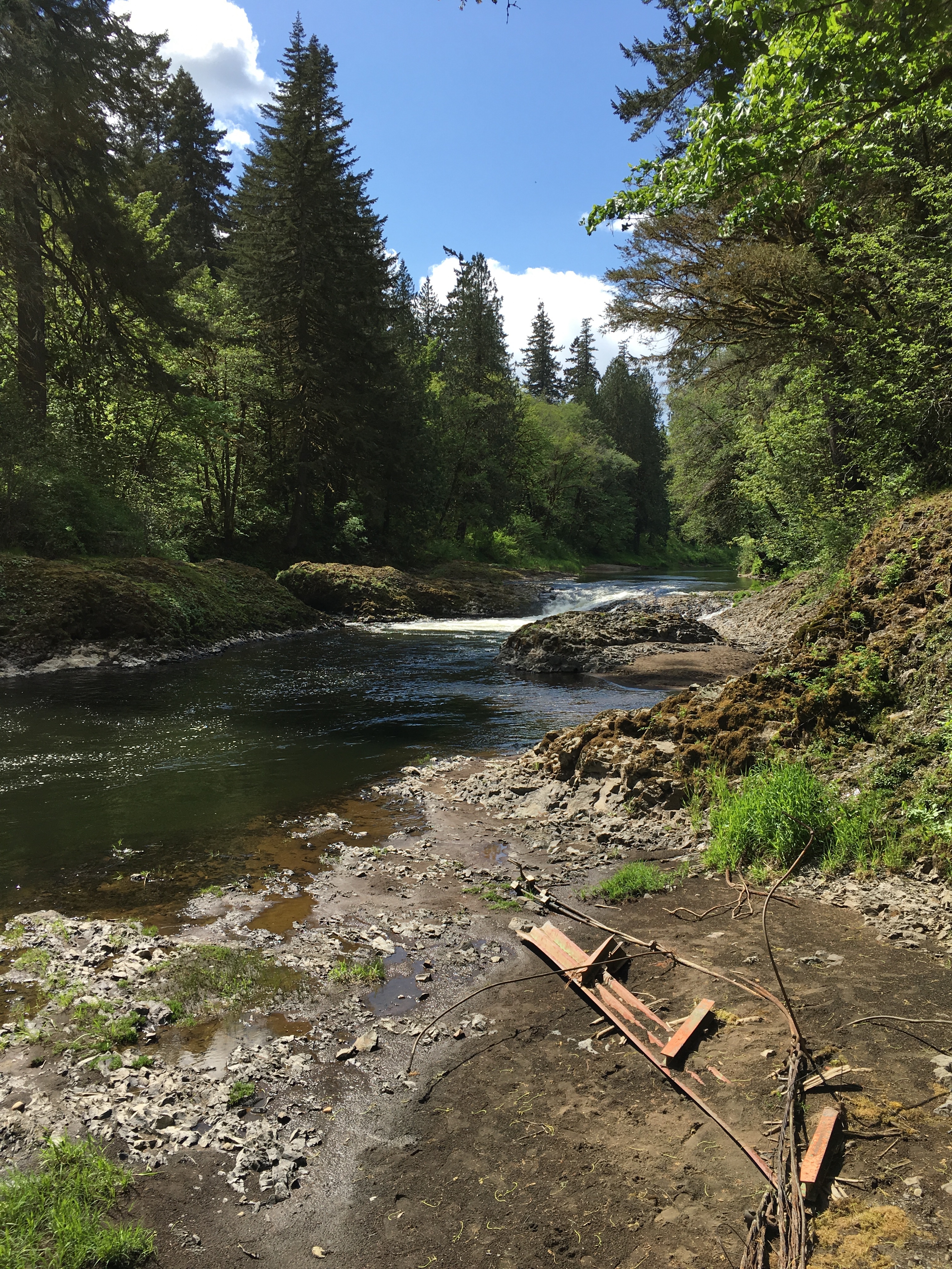
Rock Creek

Rainbow Falls State Park
Rainbow Falls State Park

Camping Spot
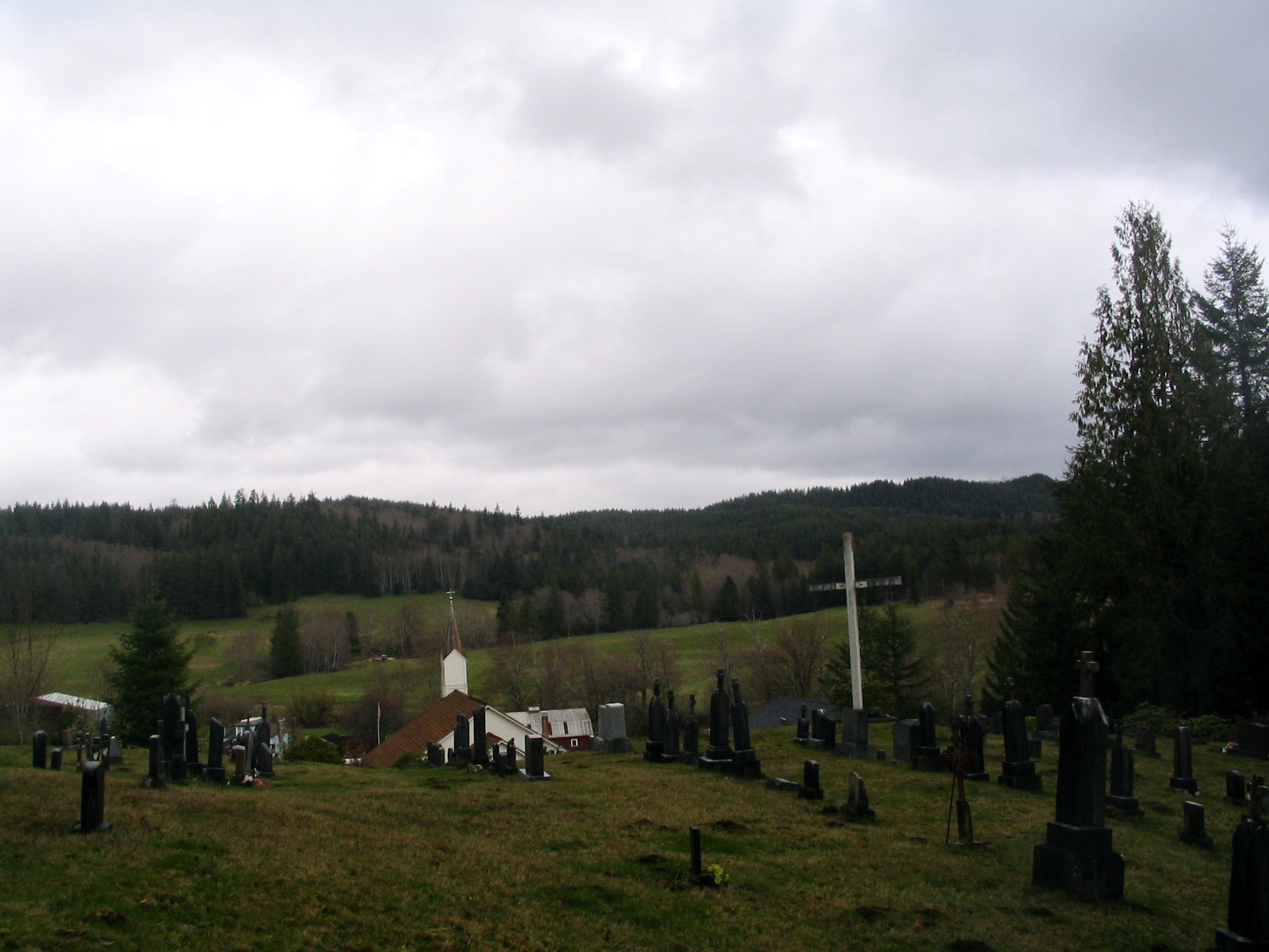
holy family catholic church cemetery - frances, wa

Rainbow Falls.

Rainbow Falls State Park 1 of 2
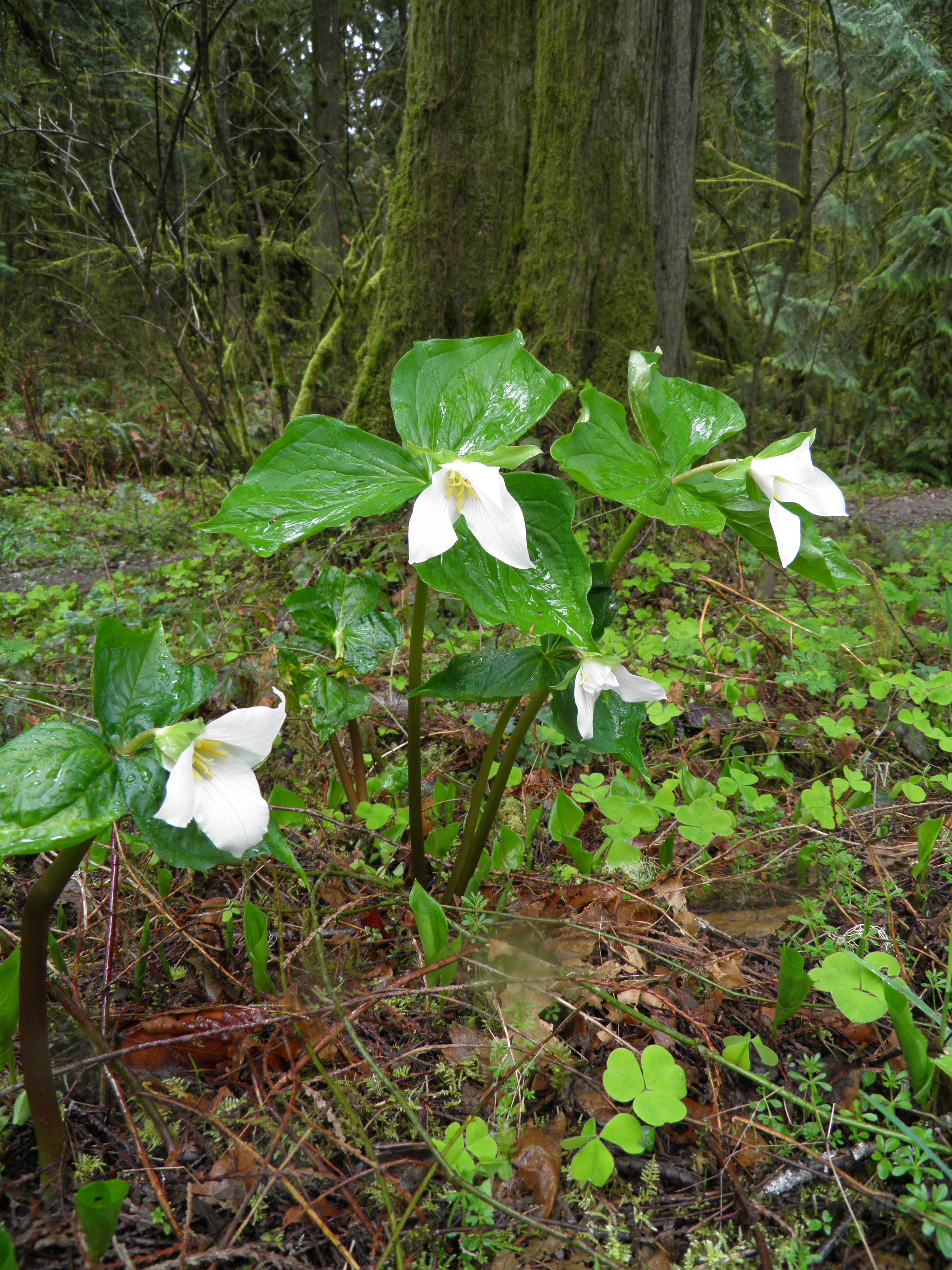
wk 12 Western Trillium
04252016-26
04252016-32
Rainbow Falls State Park
Topographic Map of Muller Rd, Pe Ell, WA, USA
Find elevation by address:

Places near Muller Rd, Pe Ell, WA, USA:
Pe Ell
5002 Wa-6
212 Halsea Rd
Allebaugh Road
501 Leudinghaus Rd
Boistfort Peak
181 Labarre Rd
465 Lost Valley Rd
101 Forth Rd
219 Aust Rd
300 River Rd
Meskill Rd, Chehalis, WA, USA
Boistfort Elementary School
Boistfort
598 Boistfort Rd
2282 Wildwood Rd
2282 Wildwood Rd
130 Top Ln
130 Top Ln
252 Hubbard Rd
Recent Searches:
- Elevation of Mamala II, Sariaya, Quezon, Philippines
- Elevation of Sarangdanda, Nepal
- Elevation of 7 Waterfall Way, Tomball, TX, USA
- Elevation of SW 57th Ave, Portland, OR, USA
- Elevation of Crocker Dr, Vacaville, CA, USA
- Elevation of Pu Ngaol Community Meeting Hall, HWHM+3X7, Krong Saen Monourom, Cambodia
- Elevation of Royal Ontario Museum, Queens Park, Toronto, ON M5S 2C6, Canada
- Elevation of Groblershoop, South Africa
- Elevation of Power Generation Enterprises | Industrial Diesel Generators, Oak Ave, Canyon Country, CA, USA
- Elevation of Chesaw Rd, Oroville, WA, USA