Elevation of Boistfort Peak, Washington, USA
Location: United States > Washington > Curtis >
Longitude: -123.21569
Latitude: 46.4887144
Elevation: 941m / 3087feet
Barometric Pressure: 91KPa
Elevation Map:
Satellite Map:
Related Photos:

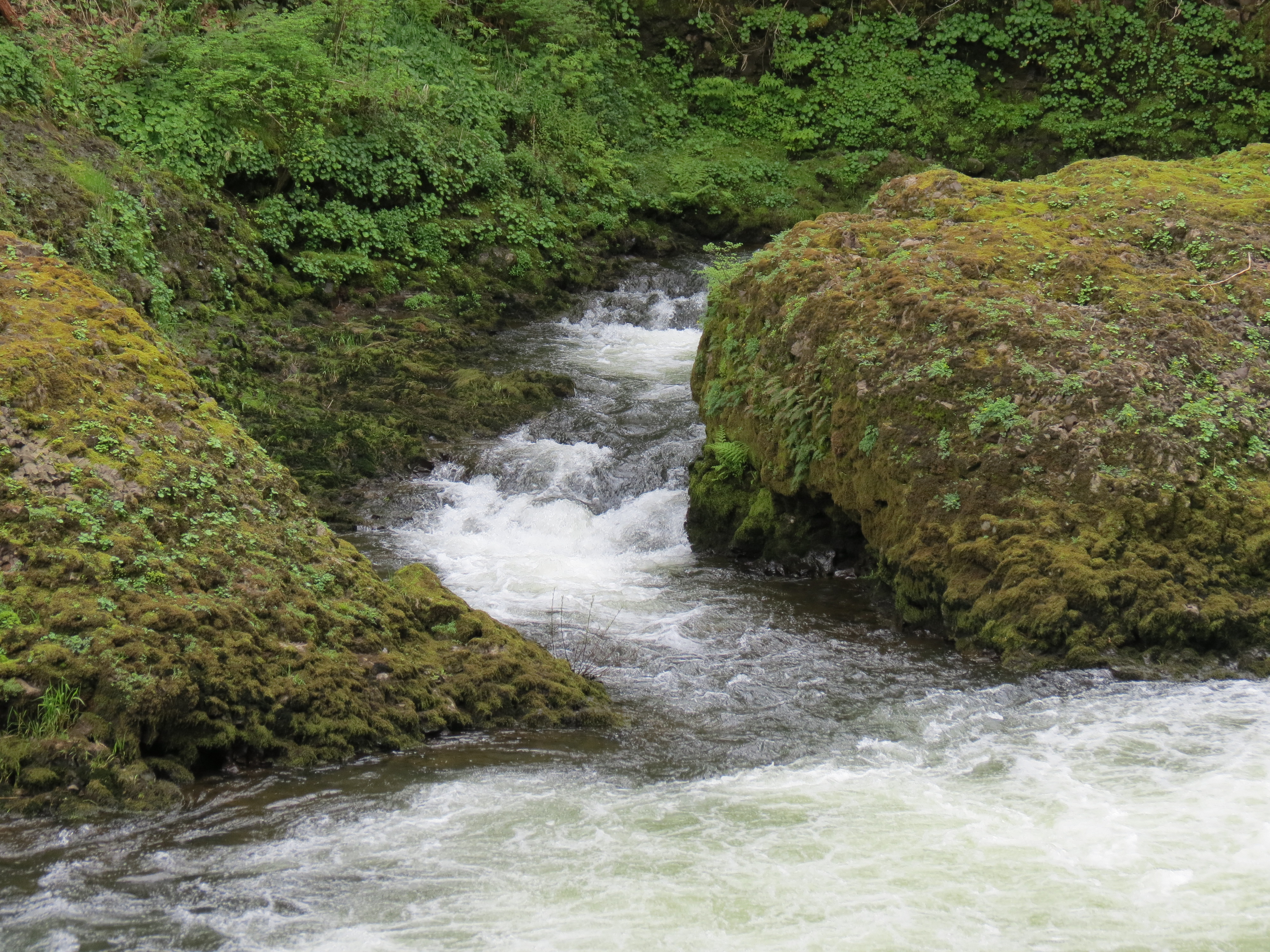
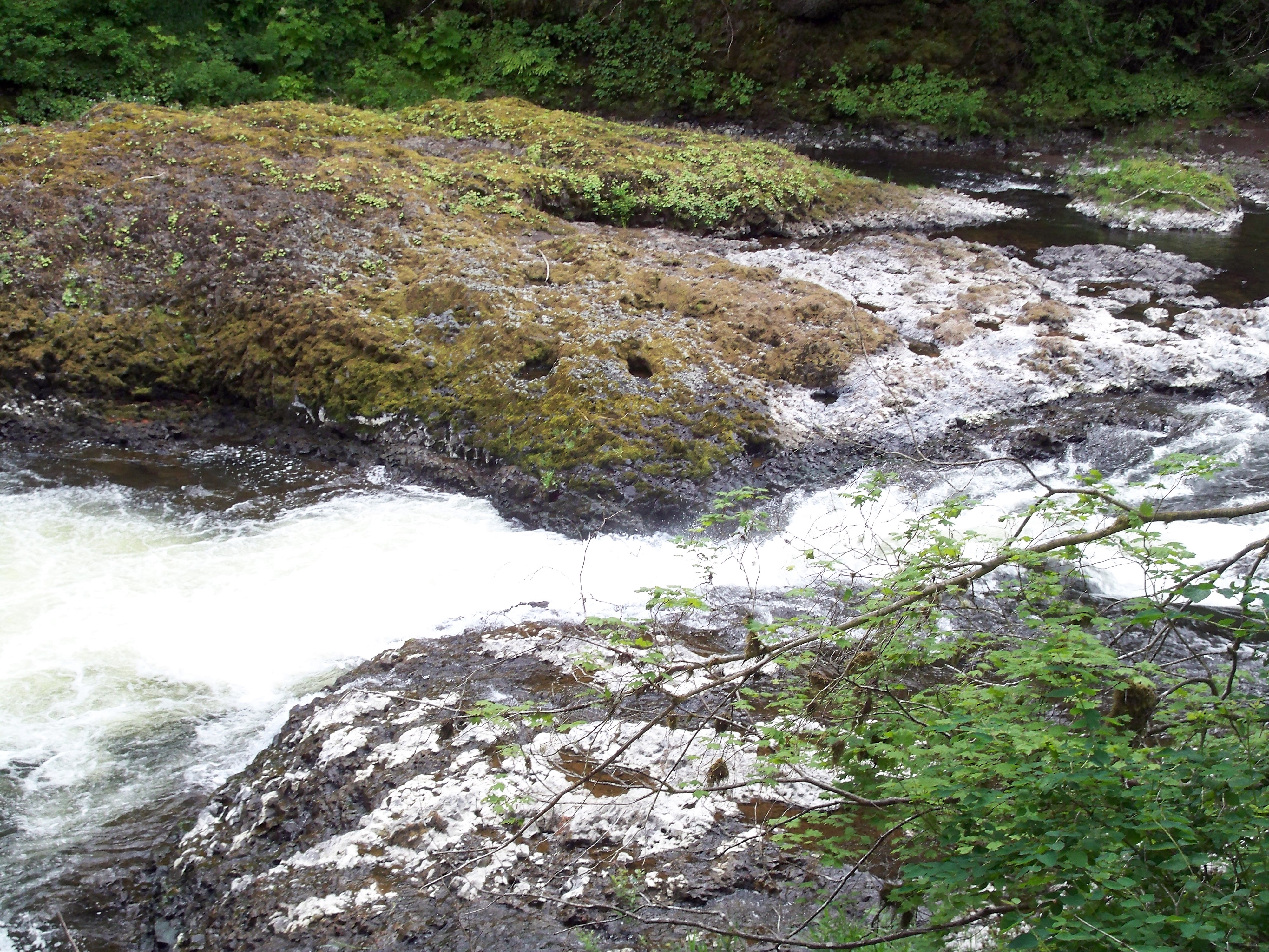
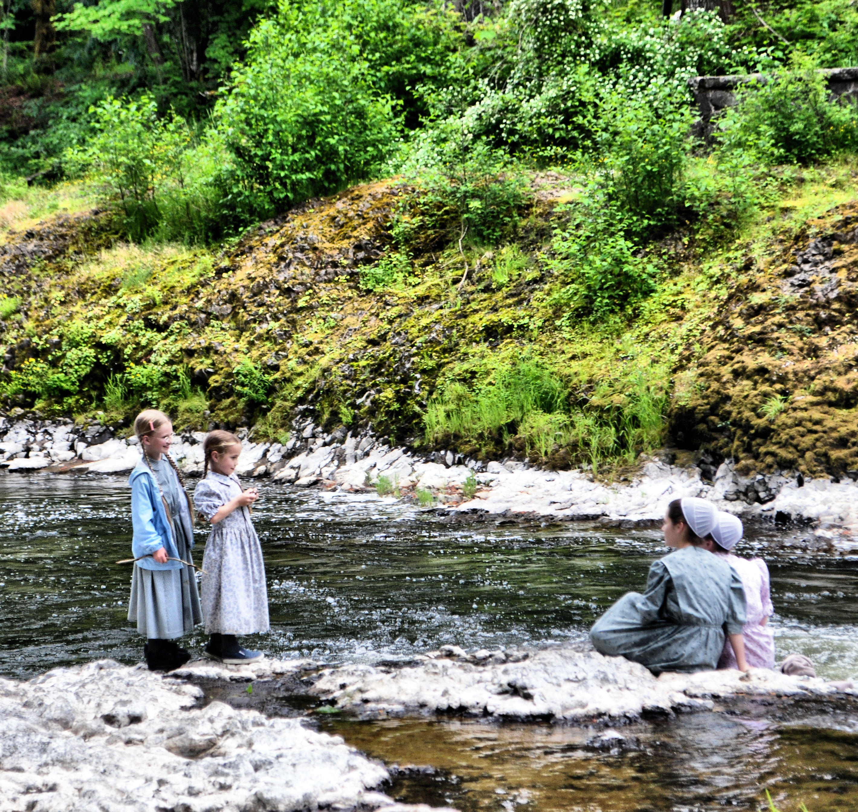
Rainbow Falls State Park No. 2, Washington, 2015

Rainbow Falls State Park No. 3, Washington, 2015

Rainbow Falls State Park No. 1, Washington, 2015

Rainbow Falls State Park No. 3, Washington, 2015
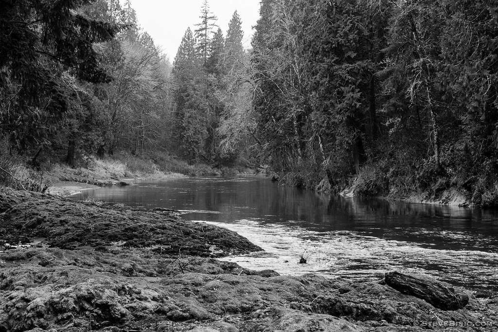
Rainbow Falls State Park No. 1, Washington, 2015
Rainbow Falls State Park
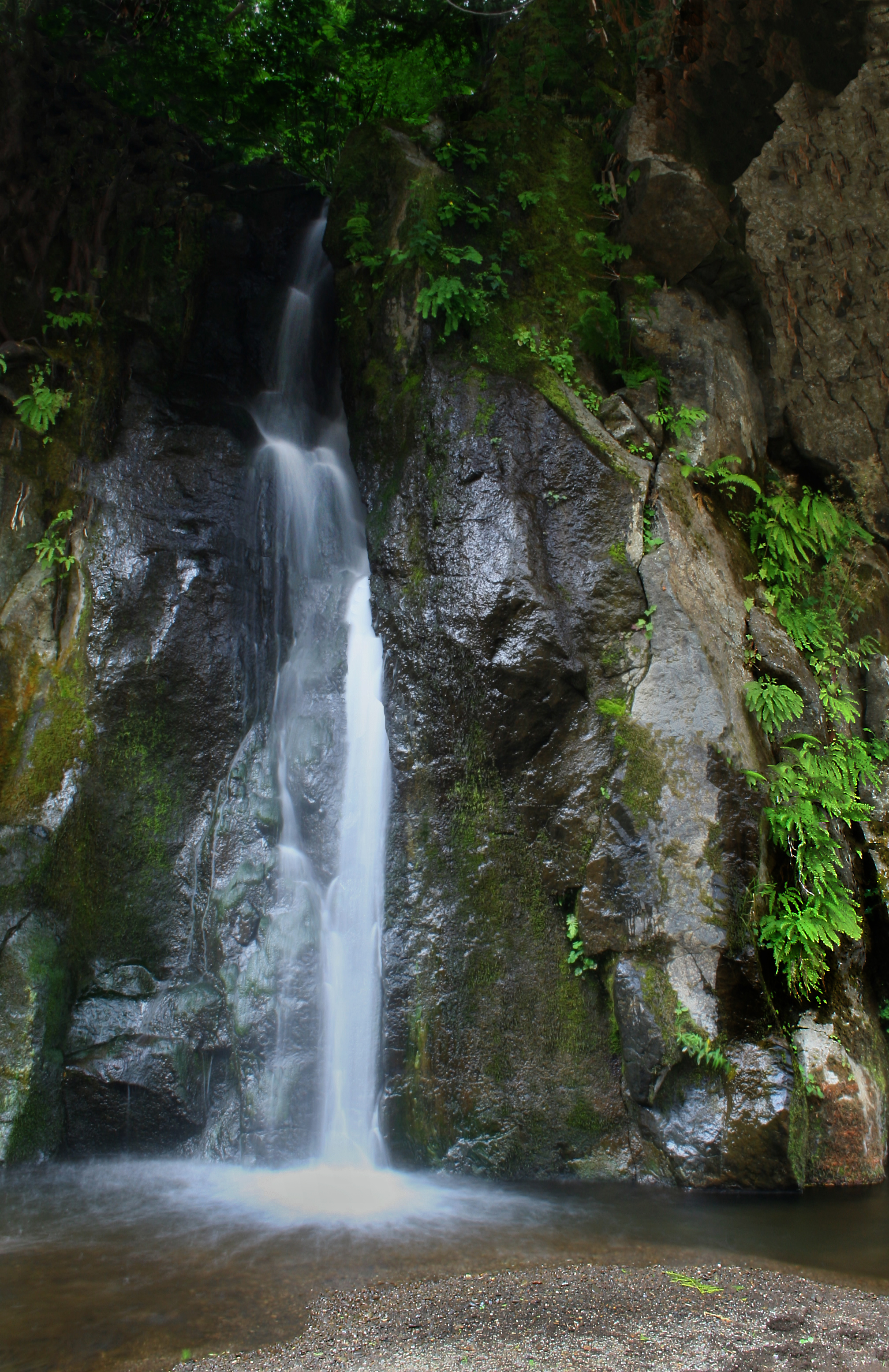
Waterfall Along the Chehalis River
Rainbow Falls State Park No. 2, Washington, 2015

Rainbow Falls State Park

Rainbow Falls State Park

Rainbow Falls State Park
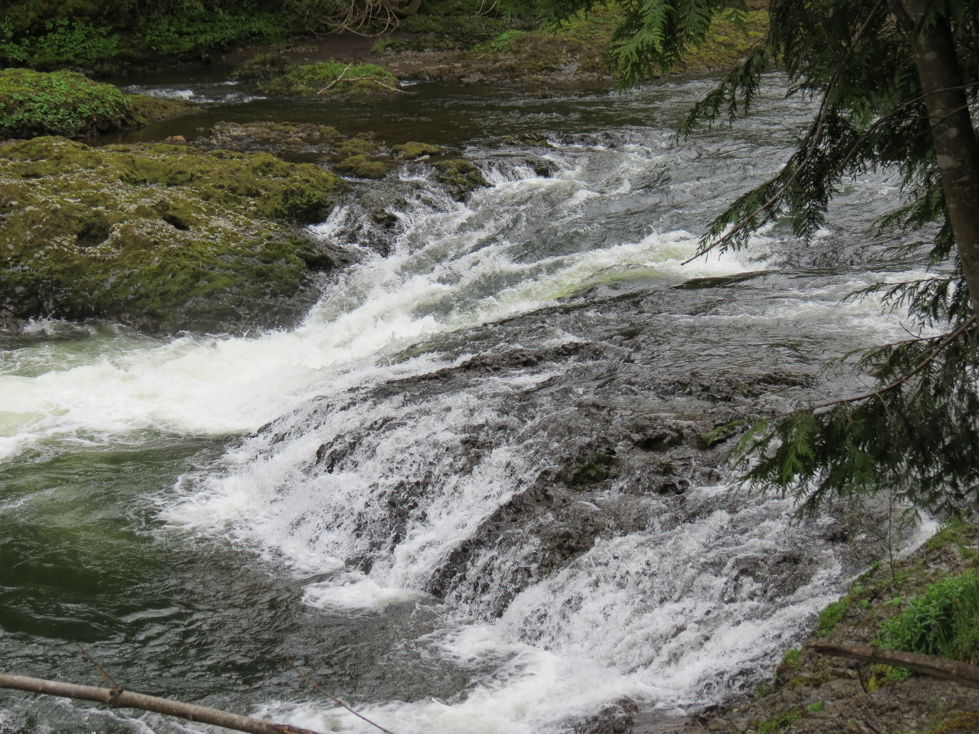
Rainbow Falls State Park
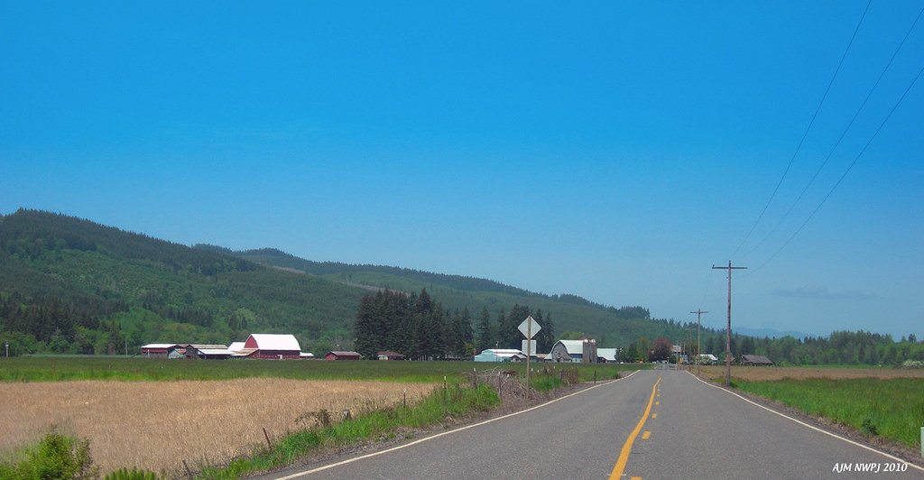
Wildwood, Washington (AJM NWPJ)

Honey Bee
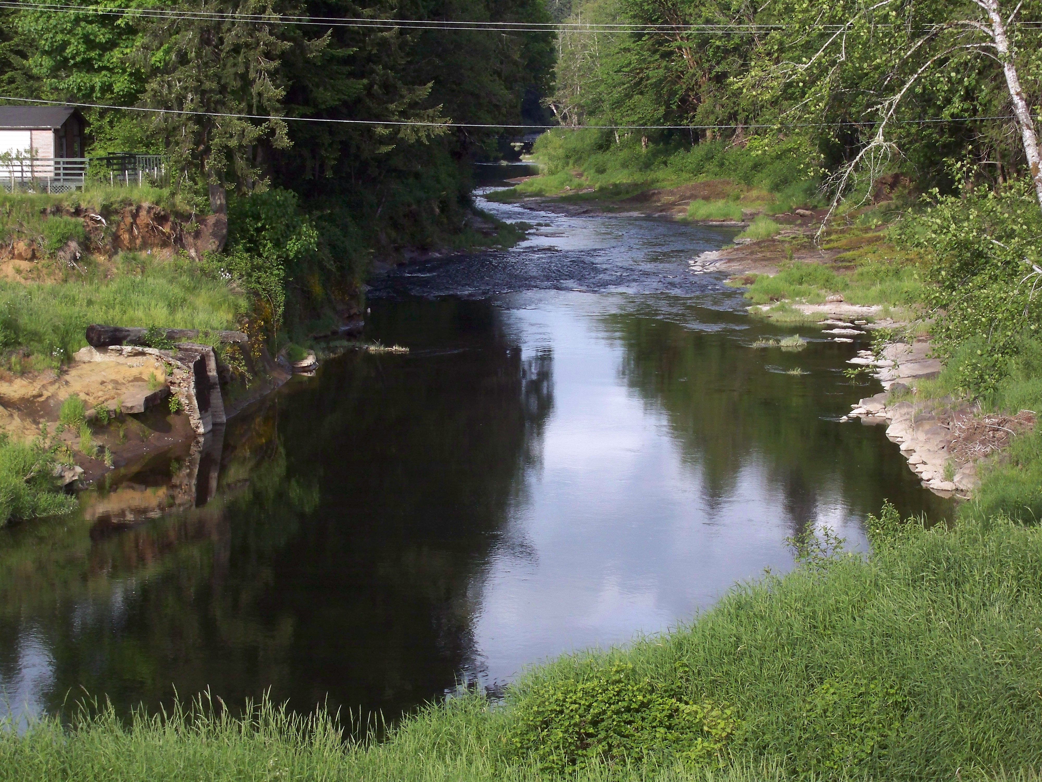
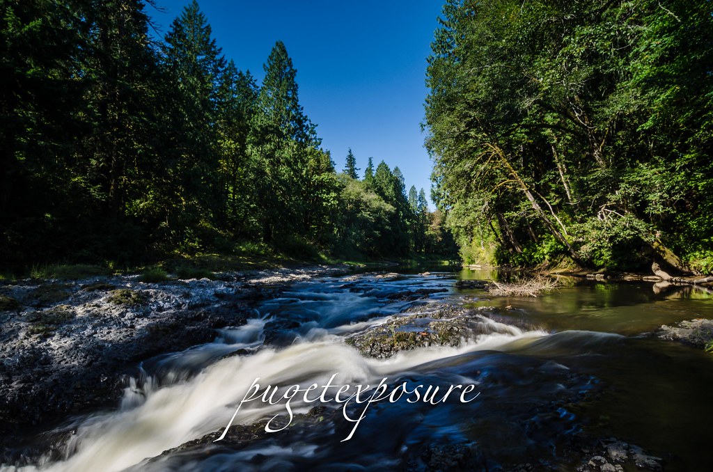
The lazy Chehalis River
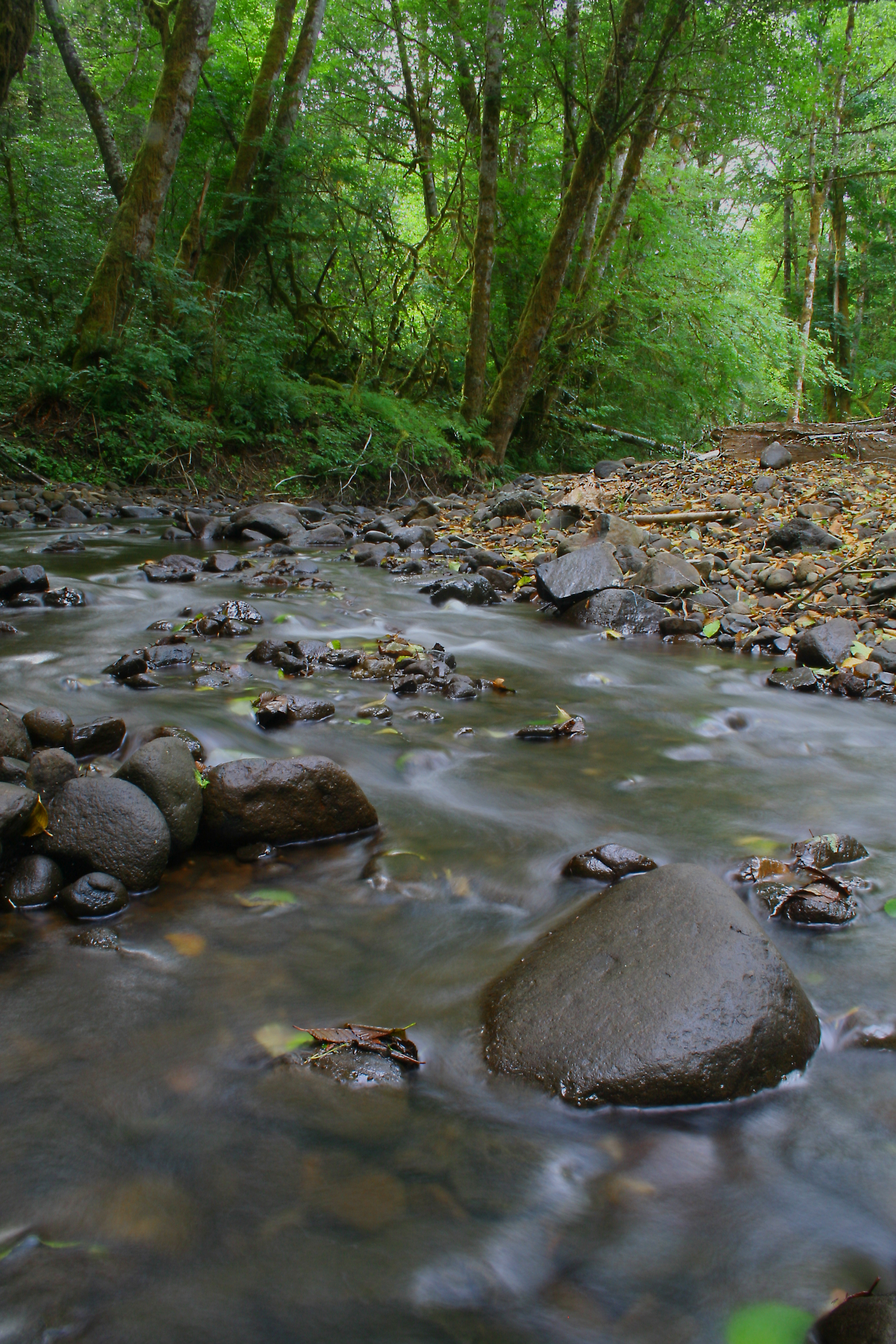
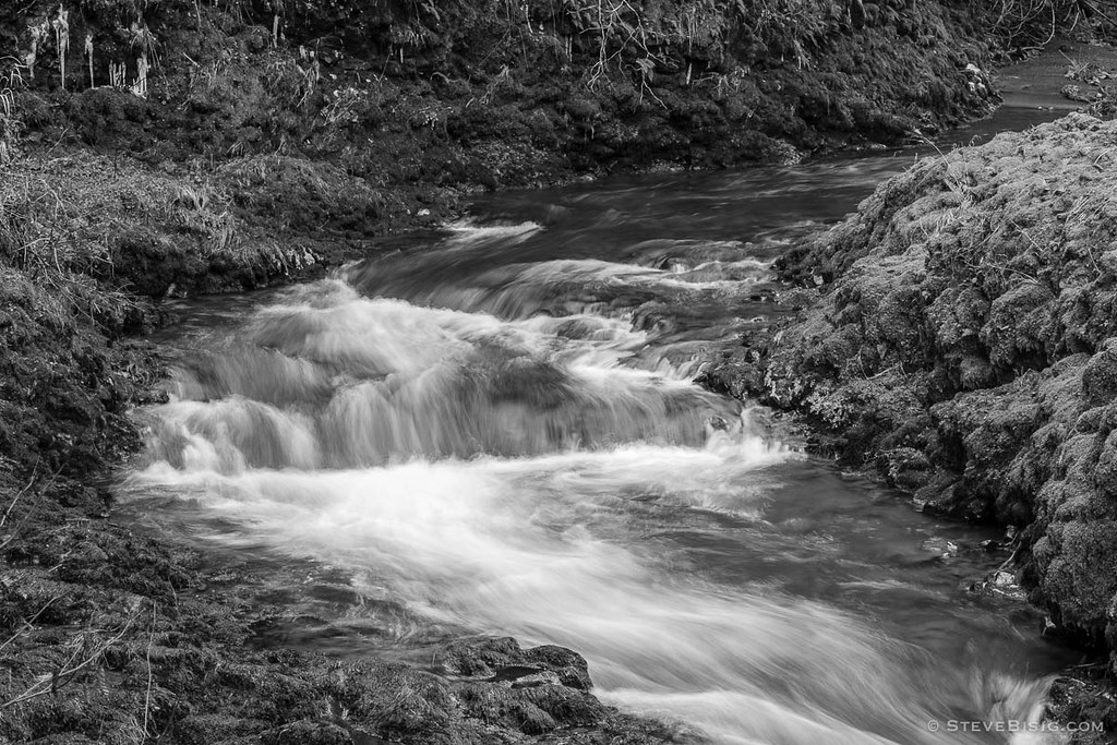
Rock Creek
Rainbow Falls State Park

Rainbow Falls State Park 1 of 2
Rainbow Falls.
Rainbow Falls State Park 2 of 2

Rainbow Falls State Park
Topographic Map of Boistfort Peak, Washington, USA
Find elevation by address:

Places near Boistfort Peak, Washington, USA:
Allebaugh Road
212 Halsea Rd
465 Lost Valley Rd
2282 Wildwood Rd
2282 Wildwood Rd
Boistfort
Boistfort Elementary School
909 Muller Rd
Pe Ell
5002 Wa-6
252 Hubbard Rd
598 Boistfort Rd
Wildwood
219 Aust Rd
133 Beville Rd
Curtis
300 River Rd
501 Leudinghaus Rd
181 Labarre Rd
101 Forth Rd
Recent Searches:
- Elevation of Congressional Dr, Stevensville, MD, USA
- Elevation of Bellview Rd, McLean, VA, USA
- Elevation of Stage Island Rd, Chatham, MA, USA
- Elevation of Shibuya Scramble Crossing, 21 Udagawacho, Shibuya City, Tokyo -, Japan
- Elevation of Jadagoniai, Kaunas District Municipality, Lithuania
- Elevation of Pagonija rock, Kranto 7-oji g. 8"N, Kaunas, Lithuania
- Elevation of Co Rd 87, Jamestown, CO, USA
- Elevation of Tenjo, Cundinamarca, Colombia
- Elevation of Côte-des-Neiges, Montreal, QC H4A 3J6, Canada
- Elevation of Bobcat Dr, Helena, MT, USA