Elevation of Labarre Rd, Chehalis, WA, USA
Location: United States > Washington > Lewis County > Chehalis >
Longitude: -123.21001
Latitude: 46.638948
Elevation: 94m / 308feet
Barometric Pressure: 100KPa
Elevation Map:
Satellite Map:
Related Photos:
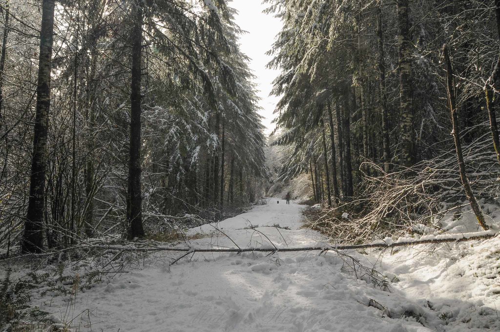
Lagger's Eye View
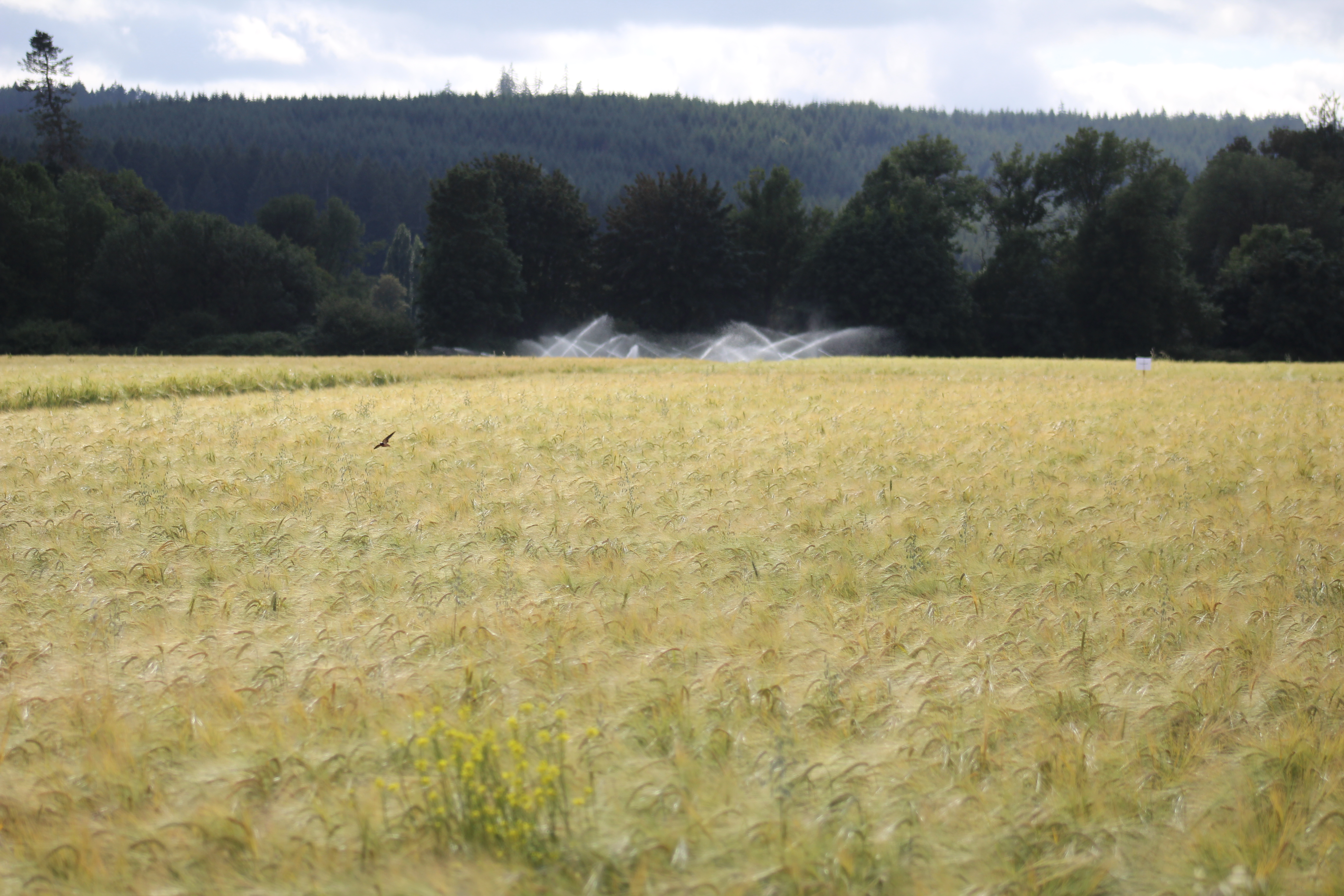
IMG_9011 Reisinger Farms barley field
04252016-31
08042018-34
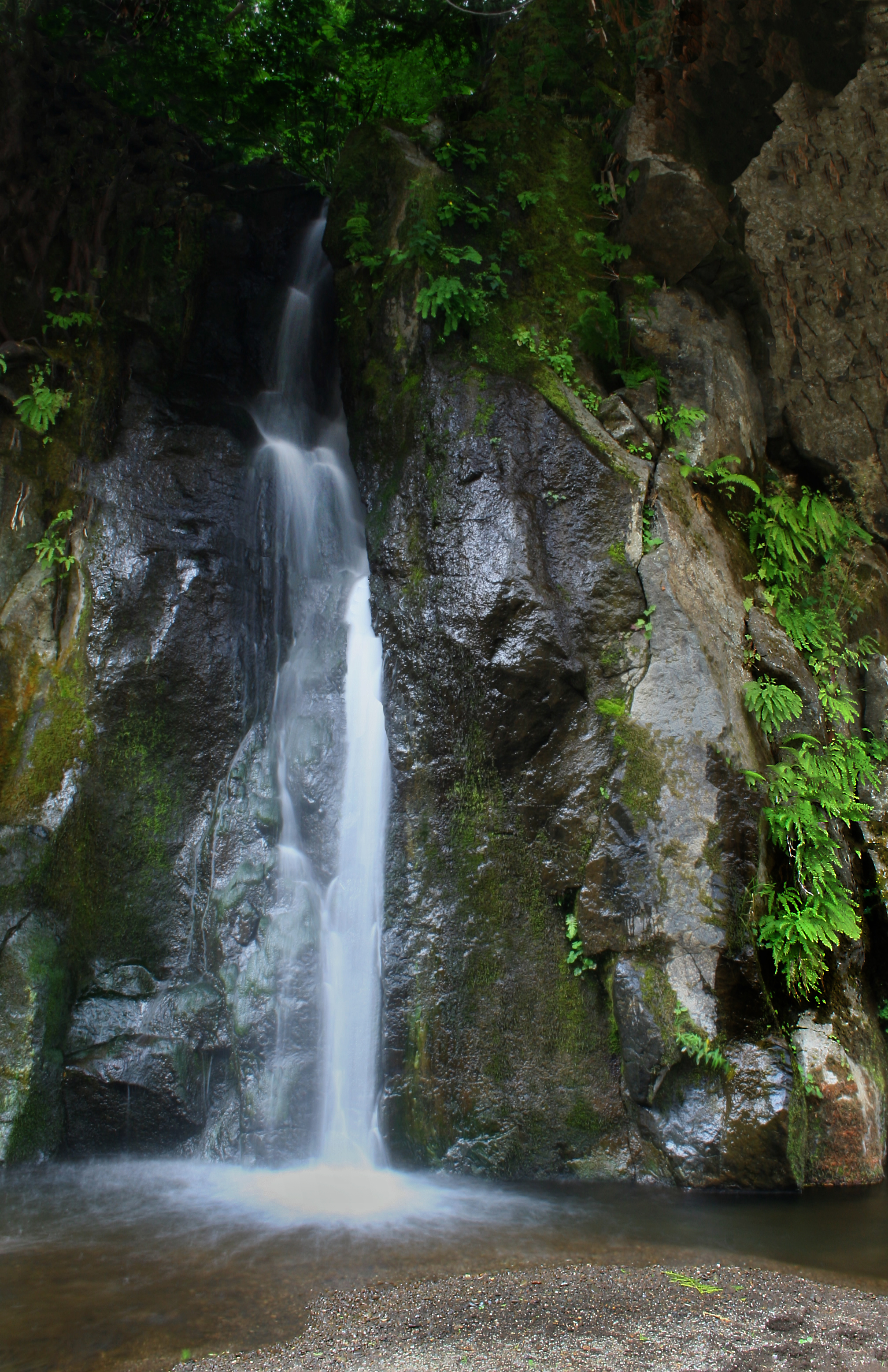
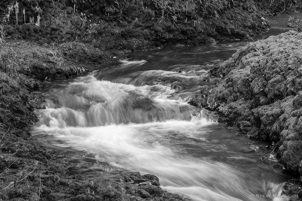
Waterfall Along the Chehalis River

Rainbow Falls State Park No. 3, Washington, 2015
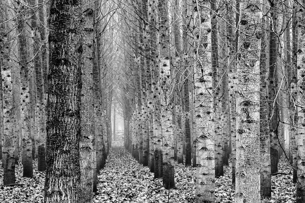
Poplar Tree Plantation, Lewis County, Washington, 2015
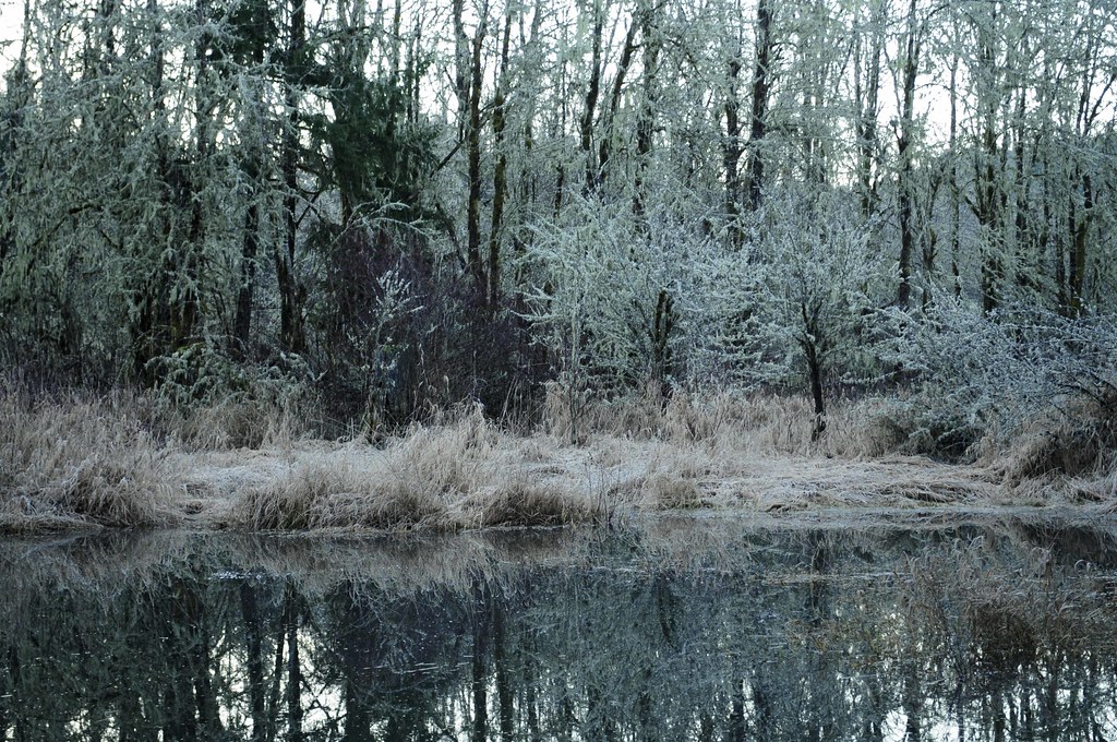
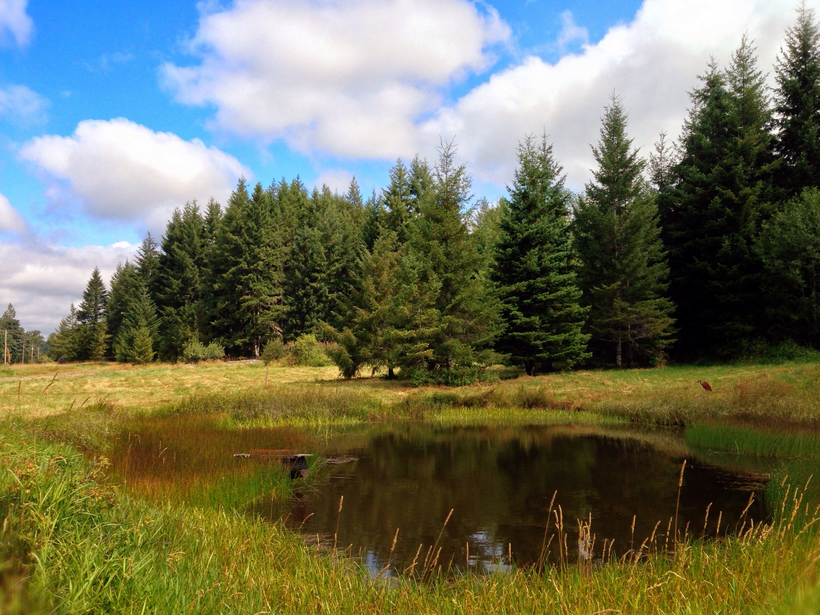
Winter Pond at Sunrise
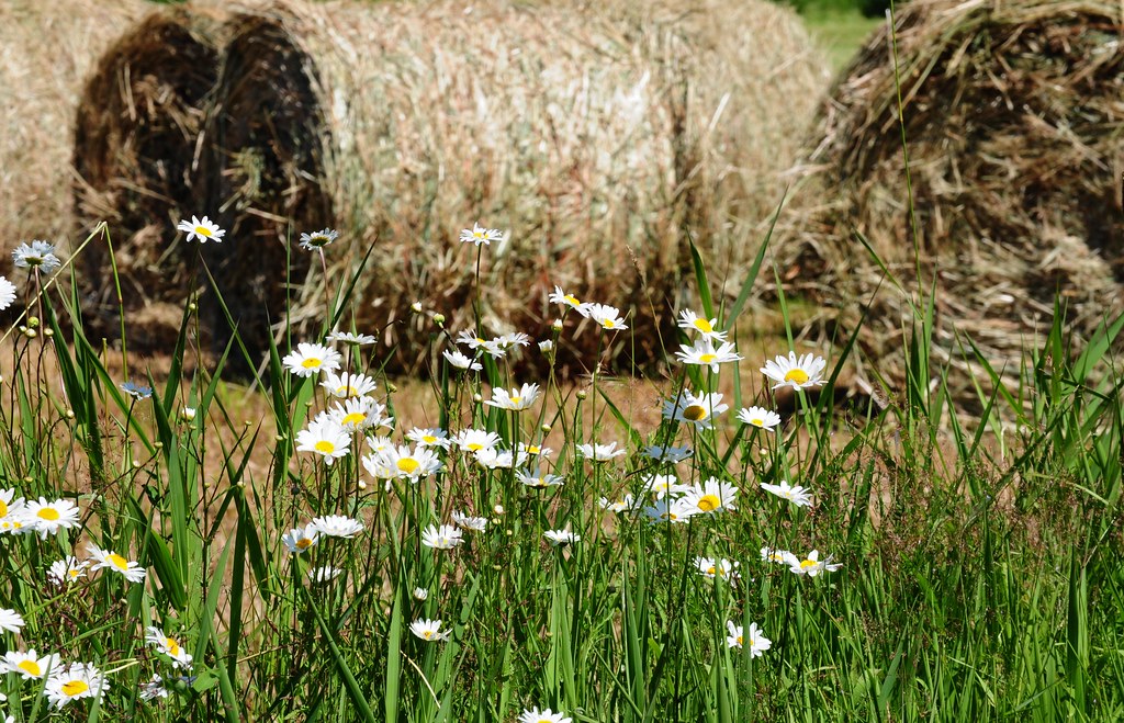
Daisies and Hay
Rainbow Falls State Park No. 2, Washington, 2015
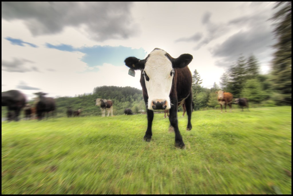
zoom cow

Annie on the Pond

Rainbow Falls State Park No. 2, Washington, 2015

Rainbow Falls State Park No. 3, Washington, 2015

Disappearing Dozer

Barn and Silo, Adna, Washington, 2015
#PartlyCloudy
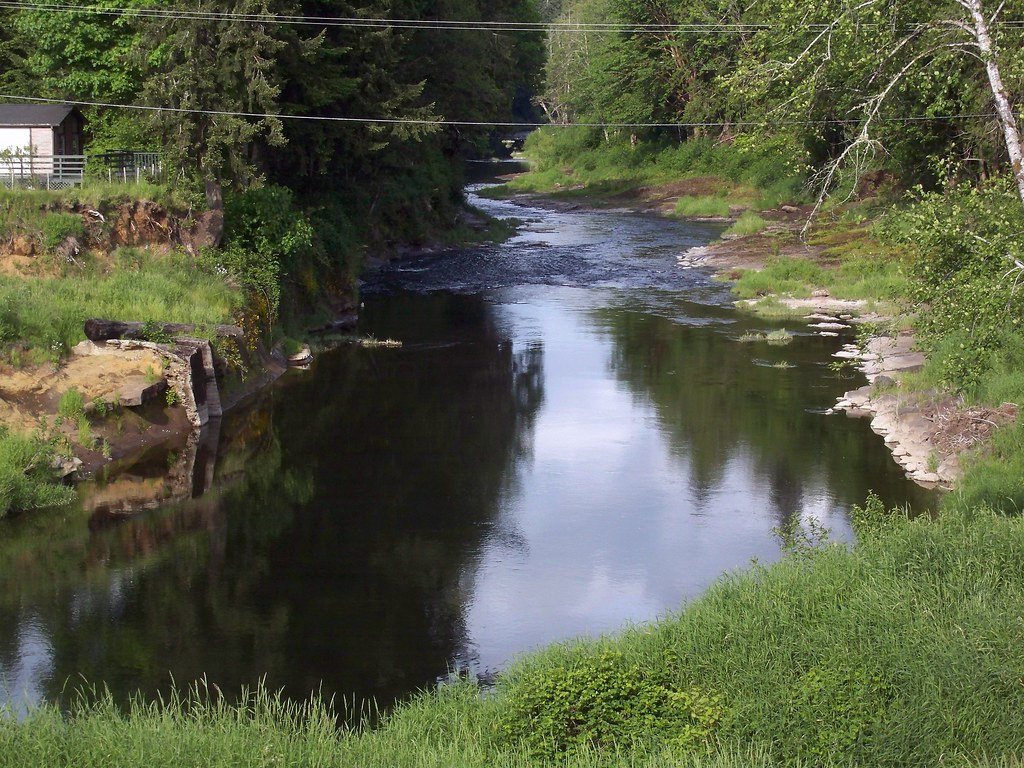
The lazy Chehalis River
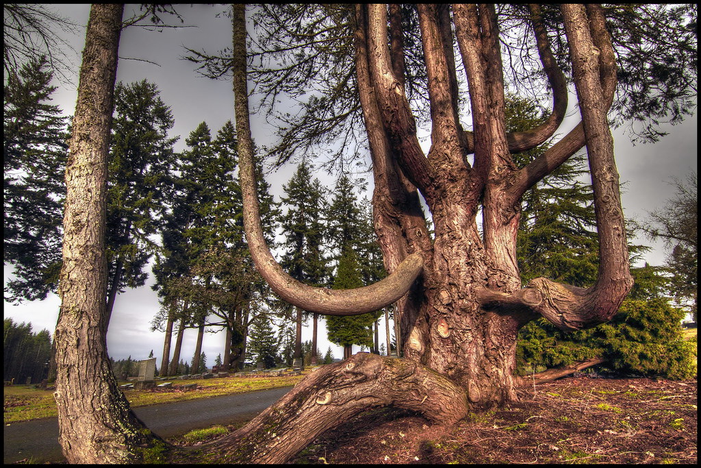
squid-tree

Rainbow Falls State Park

Rainbow Falls State Park

Trees on the Edge
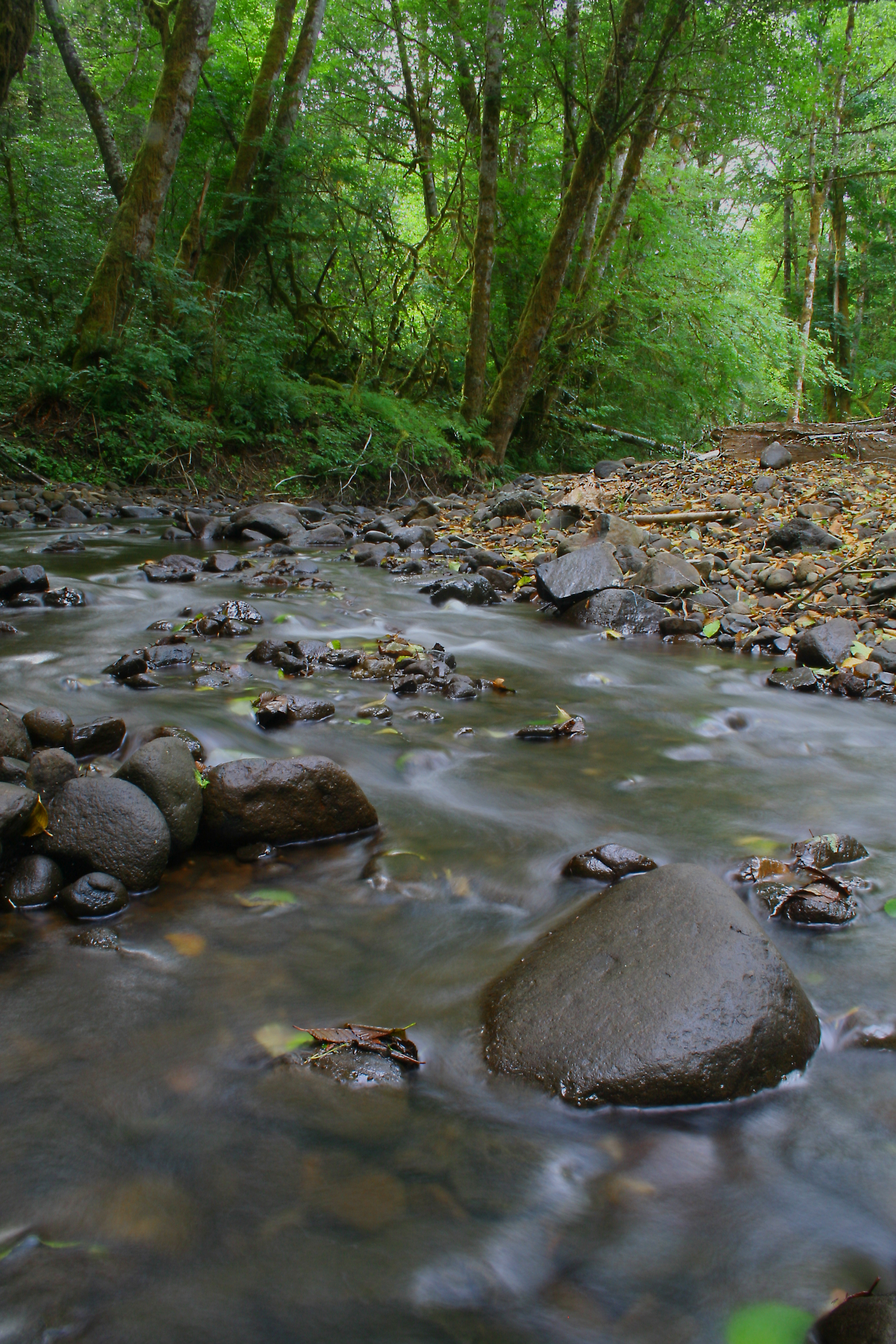
Rock Creek

Rainbow Falls State Park

#forrest
Topographic Map of Labarre Rd, Chehalis, WA, USA
Find elevation by address:

Places near Labarre Rd, Chehalis, WA, USA:
501 Leudinghaus Rd
101 Forth Rd
Meskill Rd, Chehalis, WA, USA
300 River Rd
219 Aust Rd
130 Top Ln
130 Top Ln
5002 Wa-6
804 Bunker Creek Rd
310 Deep Creek Rd
439 Spooner Rd
551 Curtis Hill Rd
Spooner Rd, Chehalis, WA, USA
Curtis
Curtis Hill Road
Curtis Hill Road
196 Sholes Dr
213 Sholes Dr
249 Curtis Hill Rd
253 Curtis Hill Rd
Recent Searches:
- Elevation of Congressional Dr, Stevensville, MD, USA
- Elevation of Bellview Rd, McLean, VA, USA
- Elevation of Stage Island Rd, Chatham, MA, USA
- Elevation of Shibuya Scramble Crossing, 21 Udagawacho, Shibuya City, Tokyo -, Japan
- Elevation of Jadagoniai, Kaunas District Municipality, Lithuania
- Elevation of Pagonija rock, Kranto 7-oji g. 8"N, Kaunas, Lithuania
- Elevation of Co Rd 87, Jamestown, CO, USA
- Elevation of Tenjo, Cundinamarca, Colombia
- Elevation of Côte-des-Neiges, Montreal, QC H4A 3J6, Canada
- Elevation of Bobcat Dr, Helena, MT, USA