Elevation of Sholes Dr, Chehalis, WA, USA
Location: United States > Washington > Lewis County > Chehalis >
Longitude: -123.09510
Latitude: 46.60043
Elevation: 181m / 594feet
Barometric Pressure: 99KPa
Elevation Map:
Satellite Map:
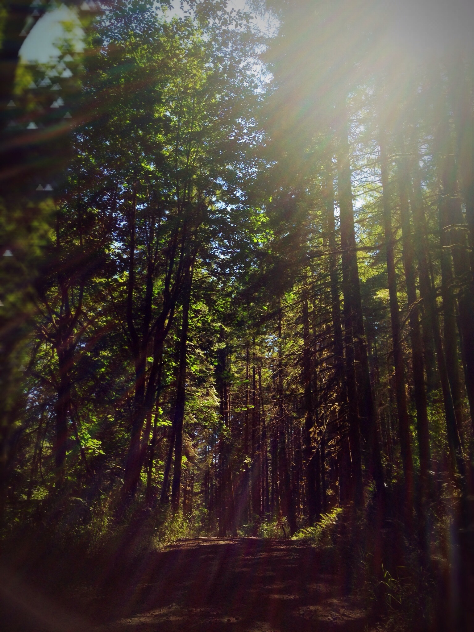
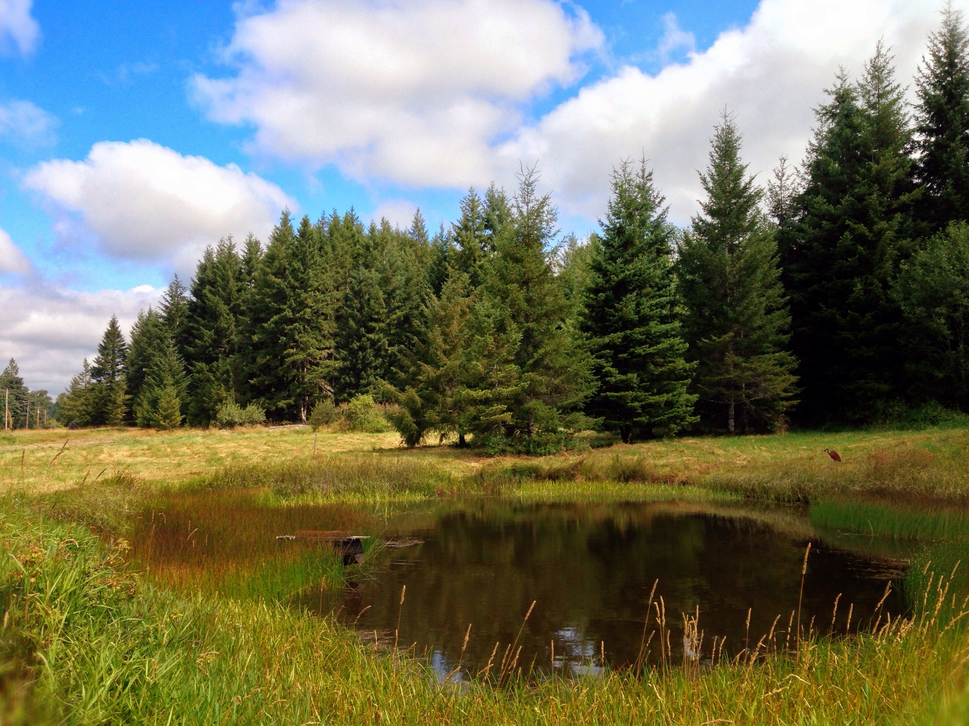
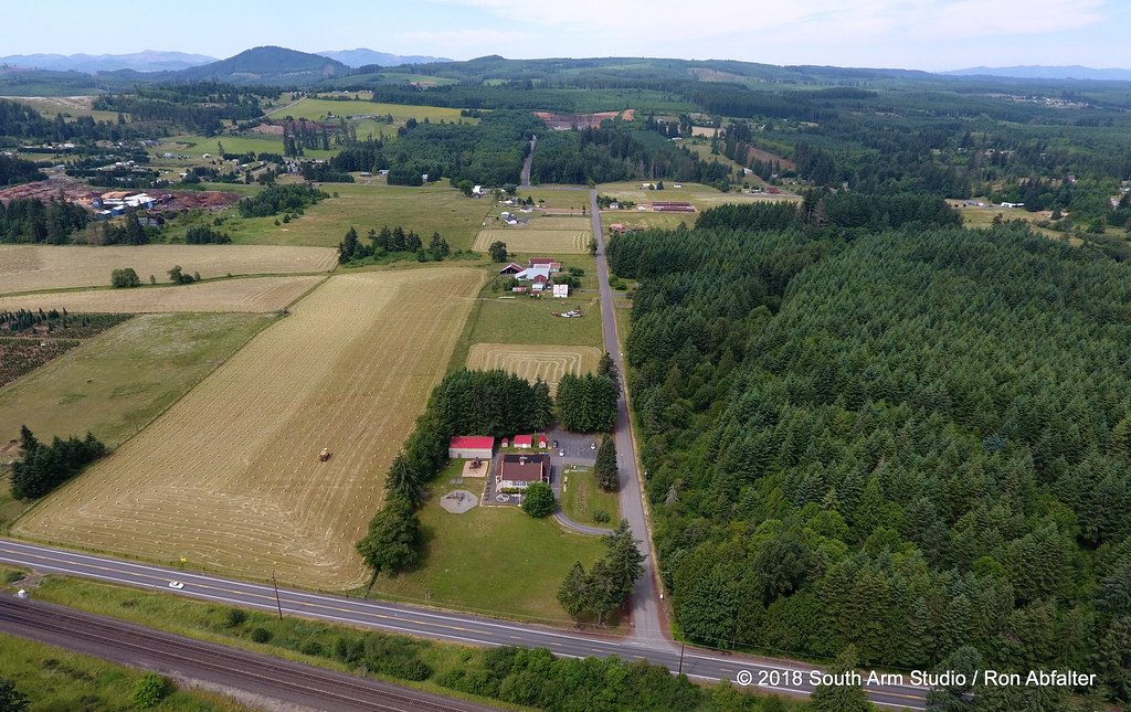
Related Photos:

a2001-15-04

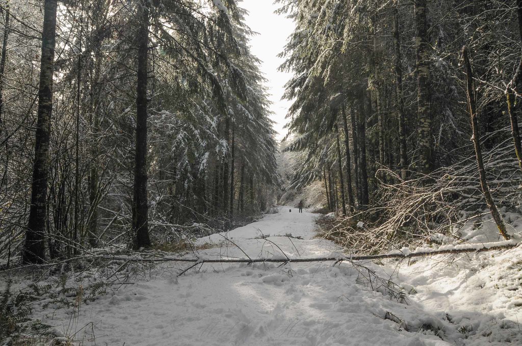
Snow and rain

Governor Gregoire

a2003-14-31
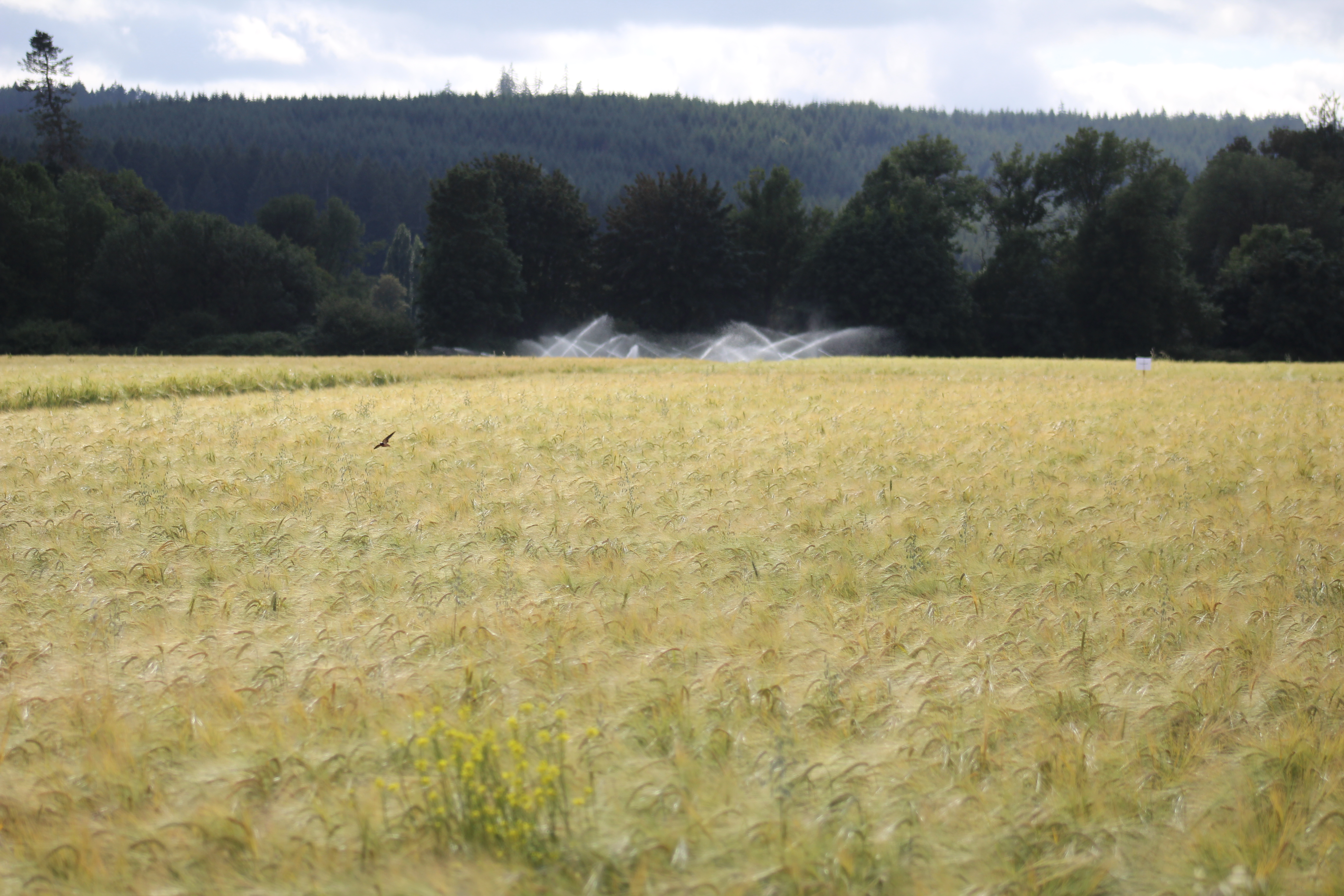
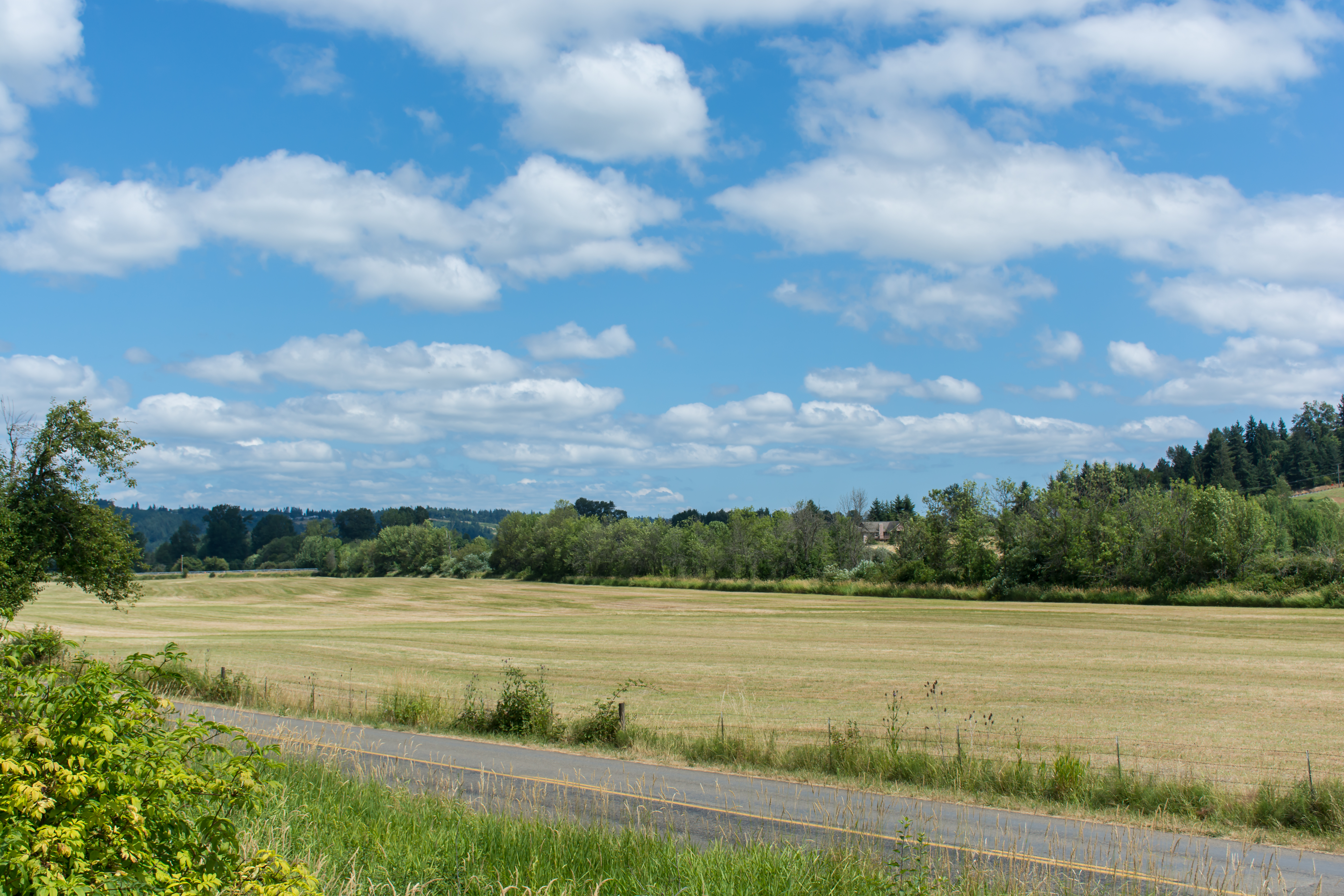
IMG_9011 Reisinger Farms barley field
08042018-34

Aerial view of I-5 in Chehalis

Aerial view of I-5 in Chehalis

The Mummy Lives!
04252016-31
Lagger's Eye View

Poplar Tree Plantation
Chehalis 17

Chehalis-Centralia Railroad 17
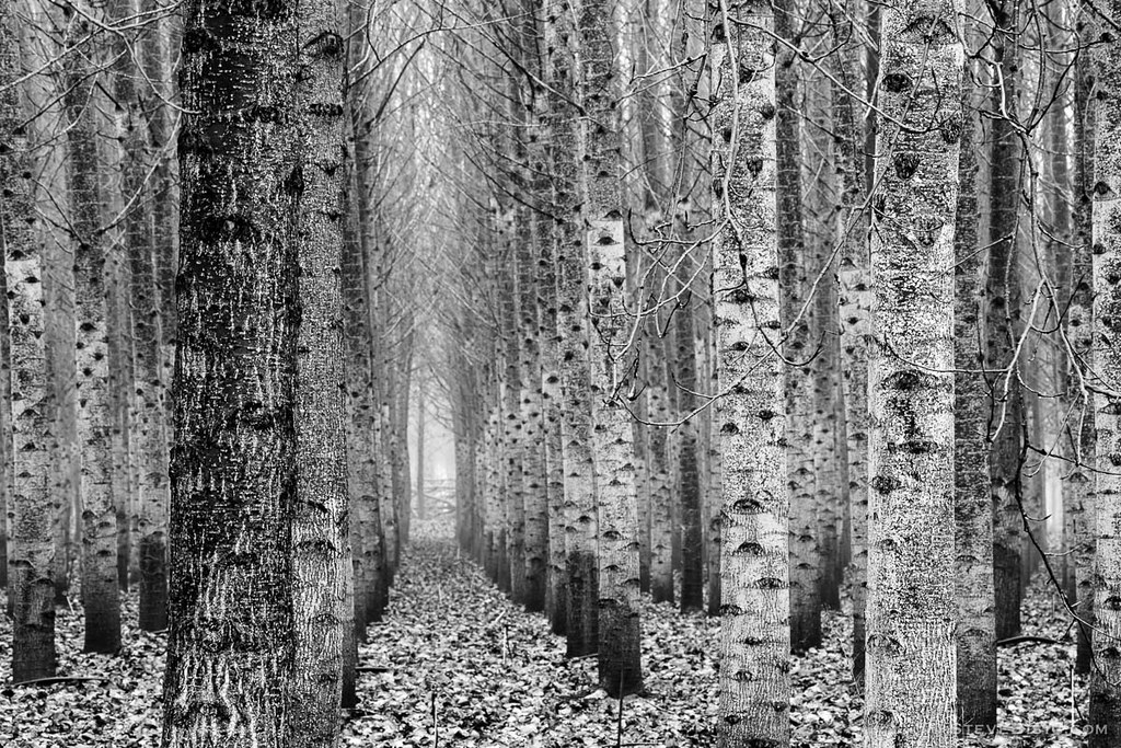
Poplar Tree Plantation, Lewis County, Washington, 2015

mist and barn

Lovely sunset yesterday.
07.06 - Nacho Trip 07
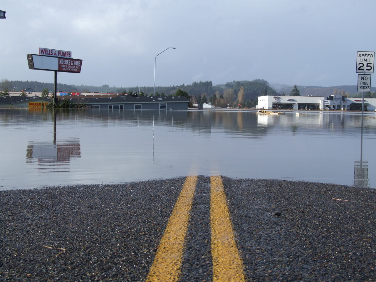
Road Closed

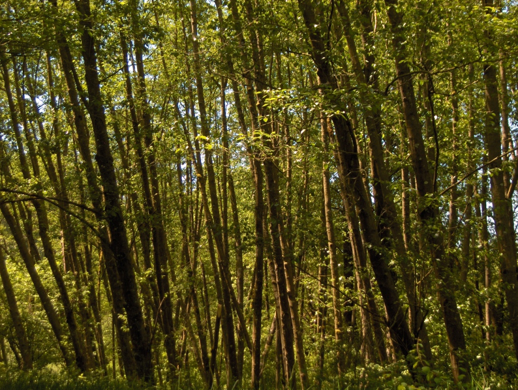
a poplar place to be
#DeepCreekRoad

Poplar Tree Plantation, Lewis County, Washington, 2015

Our Dog Halle
#PartlyCloudy
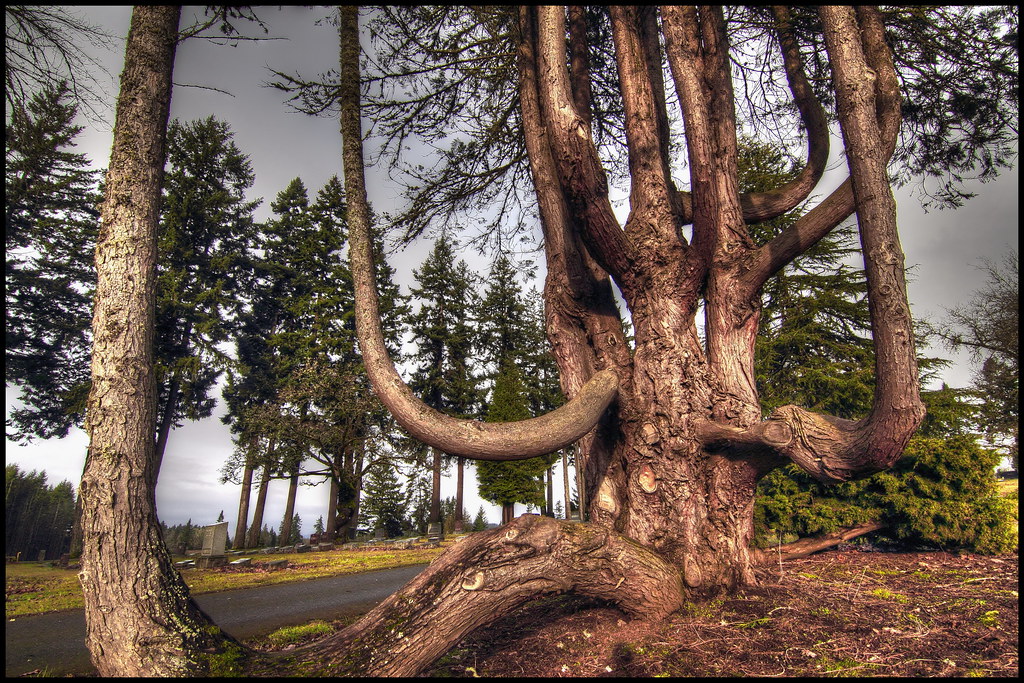
squid-tree

Barn and Silo, Adna, Washington, 2015
Eveline School

#forrest

Horseshoe Bend

What are these strange/cool cross-hatch clouds @mistyvesper?

Honey Bee
Country School
Topographic Map of Sholes Dr, Chehalis, WA, USA
Find elevation by address:

Places near Sholes Dr, Chehalis, WA, USA:
213 Sholes Dr
Curtis Hill Road
Curtis Hill Road
551 Curtis Hill Rd
312 Pleasant Hill Rd
312 Pleasant Hill Rd
Curtis
253 Curtis Hill Rd
249 Curtis Hill Rd
101 Cliff Dr
Spooner Rd, Chehalis, WA, USA
439 Spooner Rd
Dieckman Rd, Chehalis, WA, USA
179 Dieckman Rd
Adna High & Middle School
804 Bunker Creek Rd
310 Deep Creek Rd
141 Bull Run Dr
219 Aust Rd
300 River Rd
Recent Searches:
- Elevation of Zu den Ihlowbergen, Althüttendorf, Germany
- Elevation of Badaber, Peshawar, Khyber Pakhtunkhwa, Pakistan
- Elevation of SE Heron Loop, Lincoln City, OR, USA
- Elevation of Slanický ostrov, 01 Námestovo, Slovakia
- Elevation of Spaceport America, Co Rd A, Truth or Consequences, NM, USA
- Elevation of Warwick, RI, USA
- Elevation of Fern Rd, Whitmore, CA, USA
- Elevation of 62 Abbey St, Marshfield, MA, USA
- Elevation of Fernwood, Bradenton, FL, USA
- Elevation of Felindre, Swansea SA5 7LU, UK